Deutsch | English
Alps 2015 - Italy, Switzerland, France
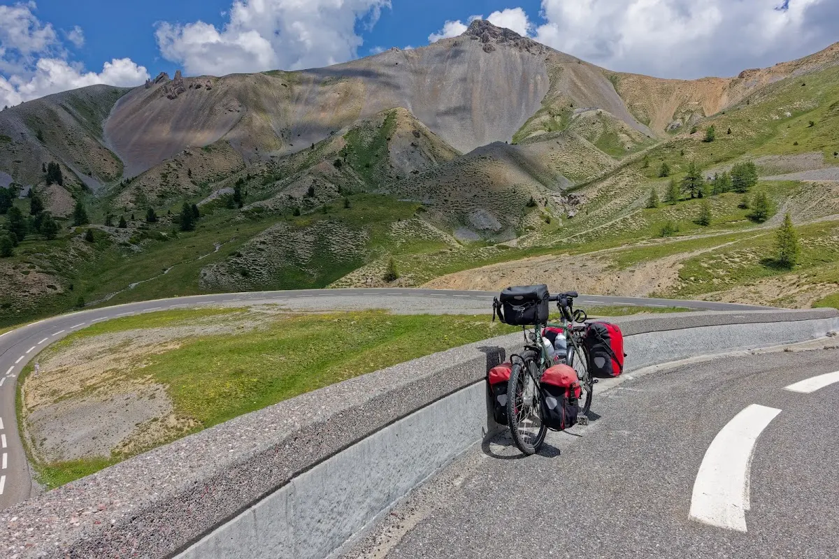
It was time for another bike tour in the Alps. The weather was excellent for the 17 days from late June to mid-July, and only once did I get a light rain shower in the afternoon. On the other hand it was often very hot at midday, and in the valleys my speedometer/thermometer regularly showed over 40 degrees. After a train ride from Munich (changing in Zurich and Visp) I started in Martigny in the late afternoon.
After a 12-day loop by bike in the Western Alps I returned to Martigny and took the train in the afternoon to Ulrichen at the foot of the Nufenen, as the flat Rhône valley did not seem very attractive in the heat. A few Swiss Alpine passes followed and finally the Stelvio Pass and the Reschen Pass down to Landeck in the Inn valley.
But now, one thing at a time...
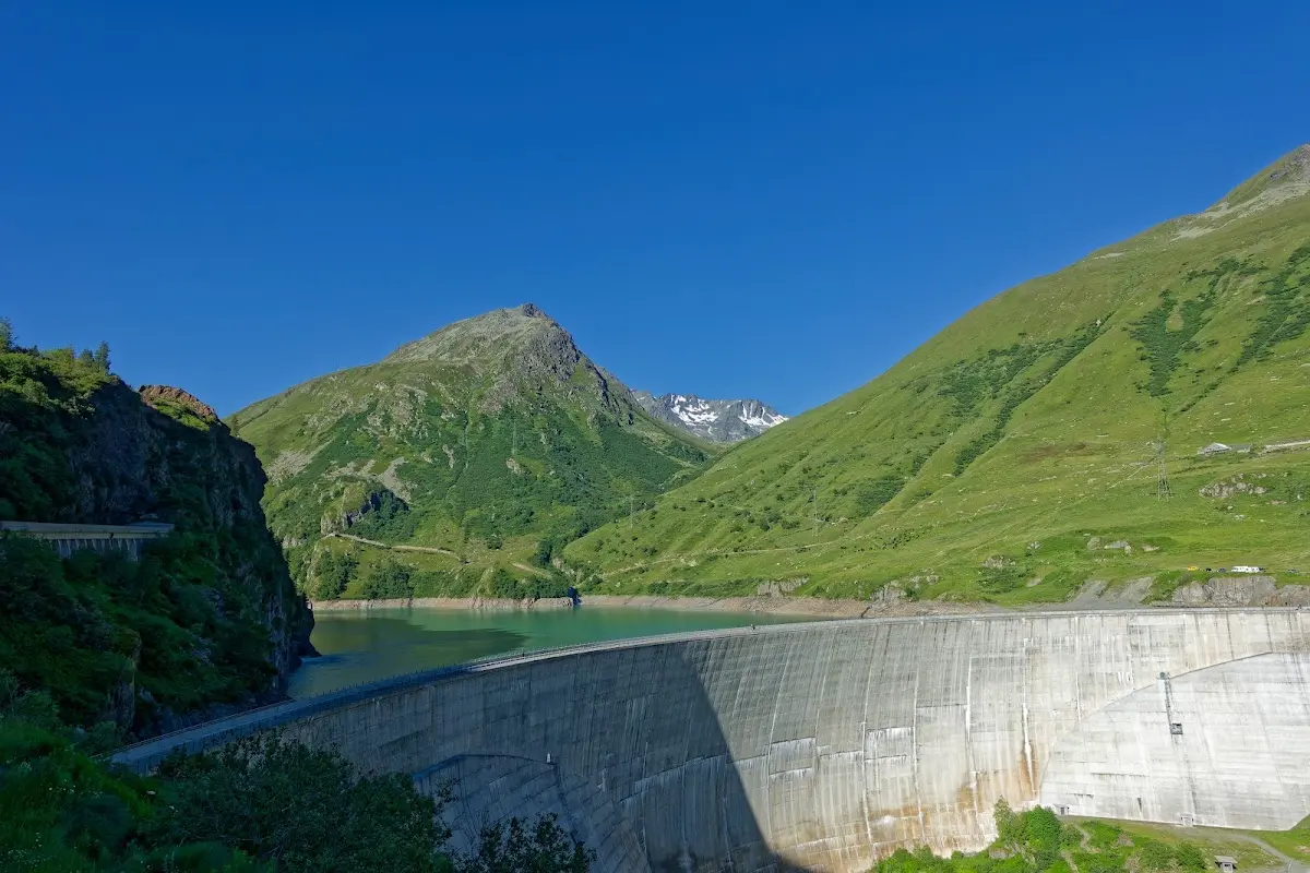
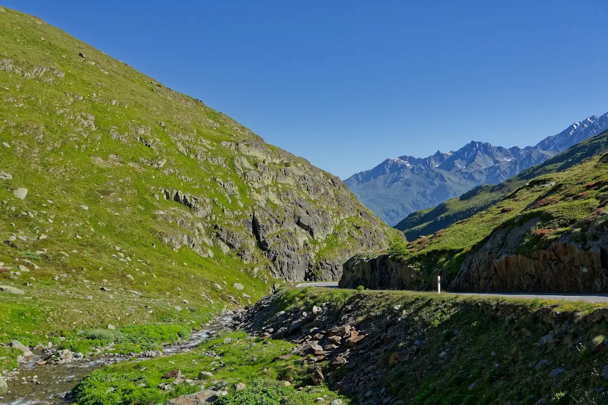
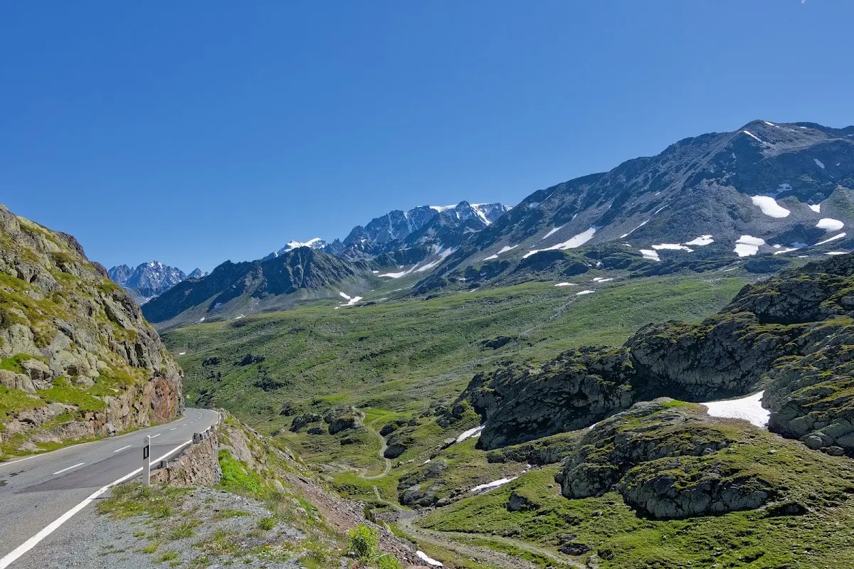
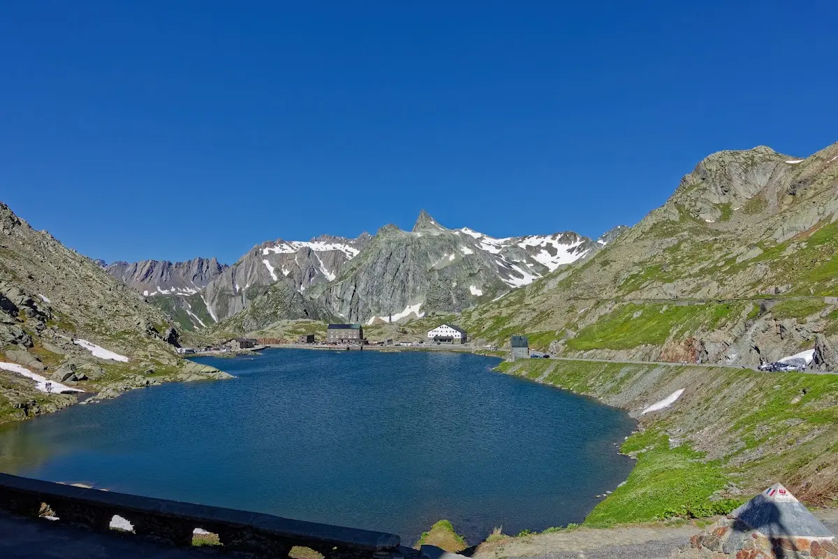
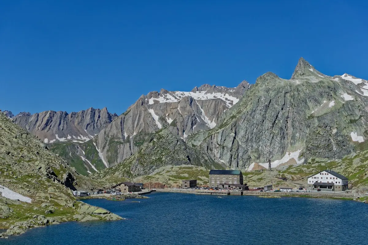
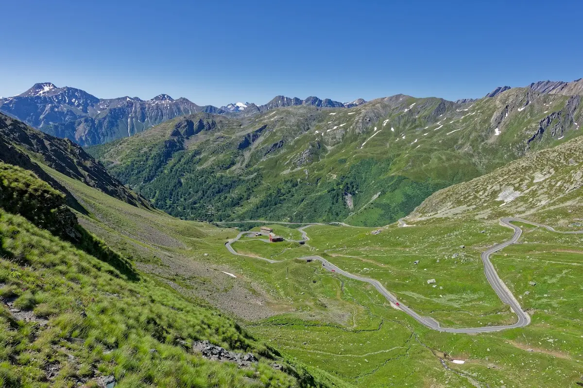
Col du Grand St. Bernard (2473 m)
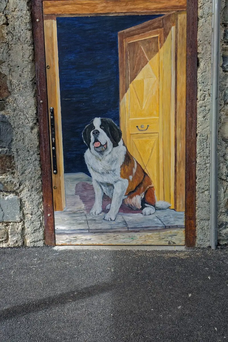
The Great St Bernard connects the Swiss Rhône valley and Martigny (460 m) with the Italian Aosta Valley via its 70 km long pass road; even in the days of the Roman Empire it was one of the most important Alpine crossings. Julius Caesar already mentions the pass in his De bello Gallico. The 43.5 km long northern ascent has 2009 m of climbing, which makes it one of the Alpine climbs with the most altitude gain. St Bernard dogs were bred here as rescue dogs for the search for avalanche victims.
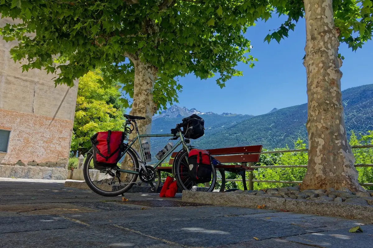
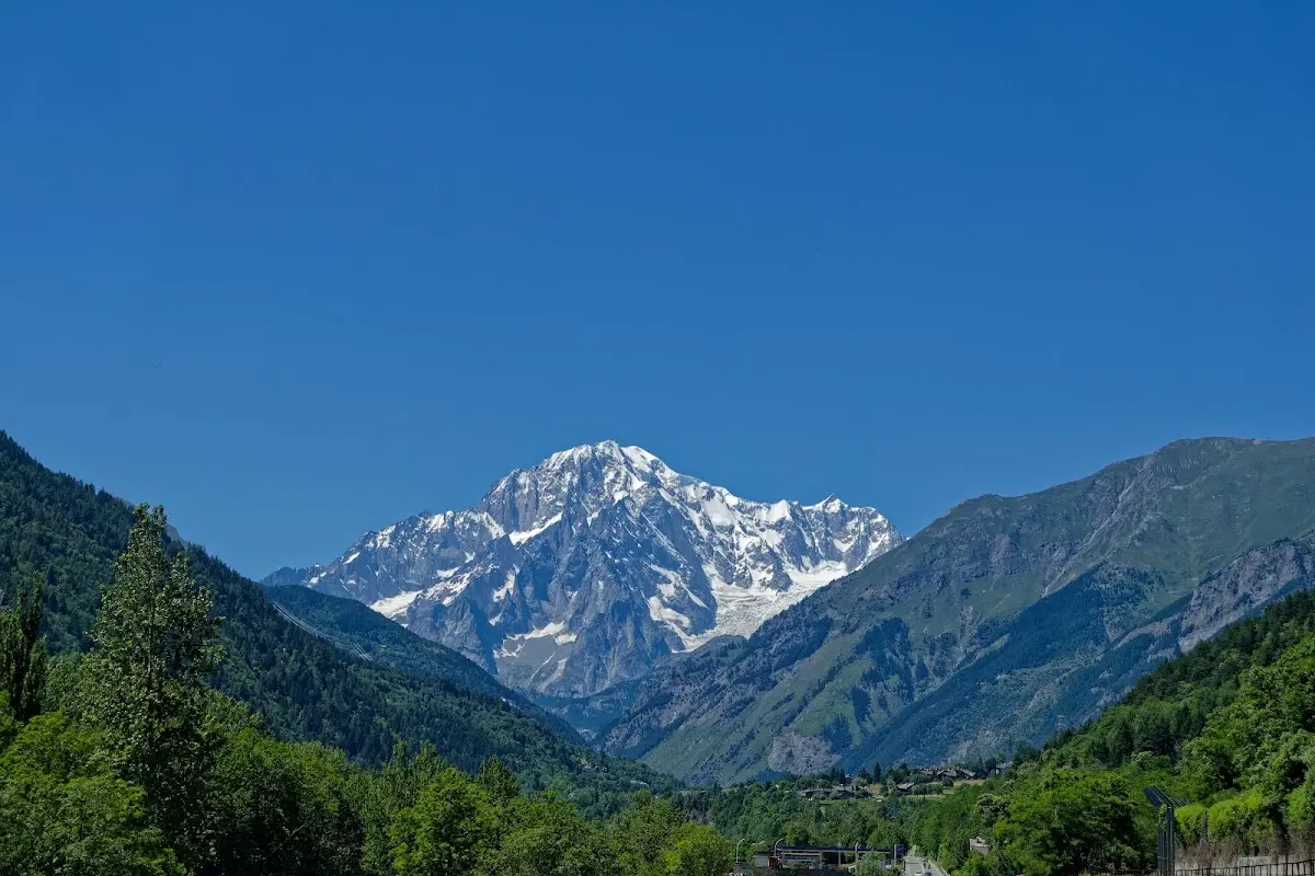
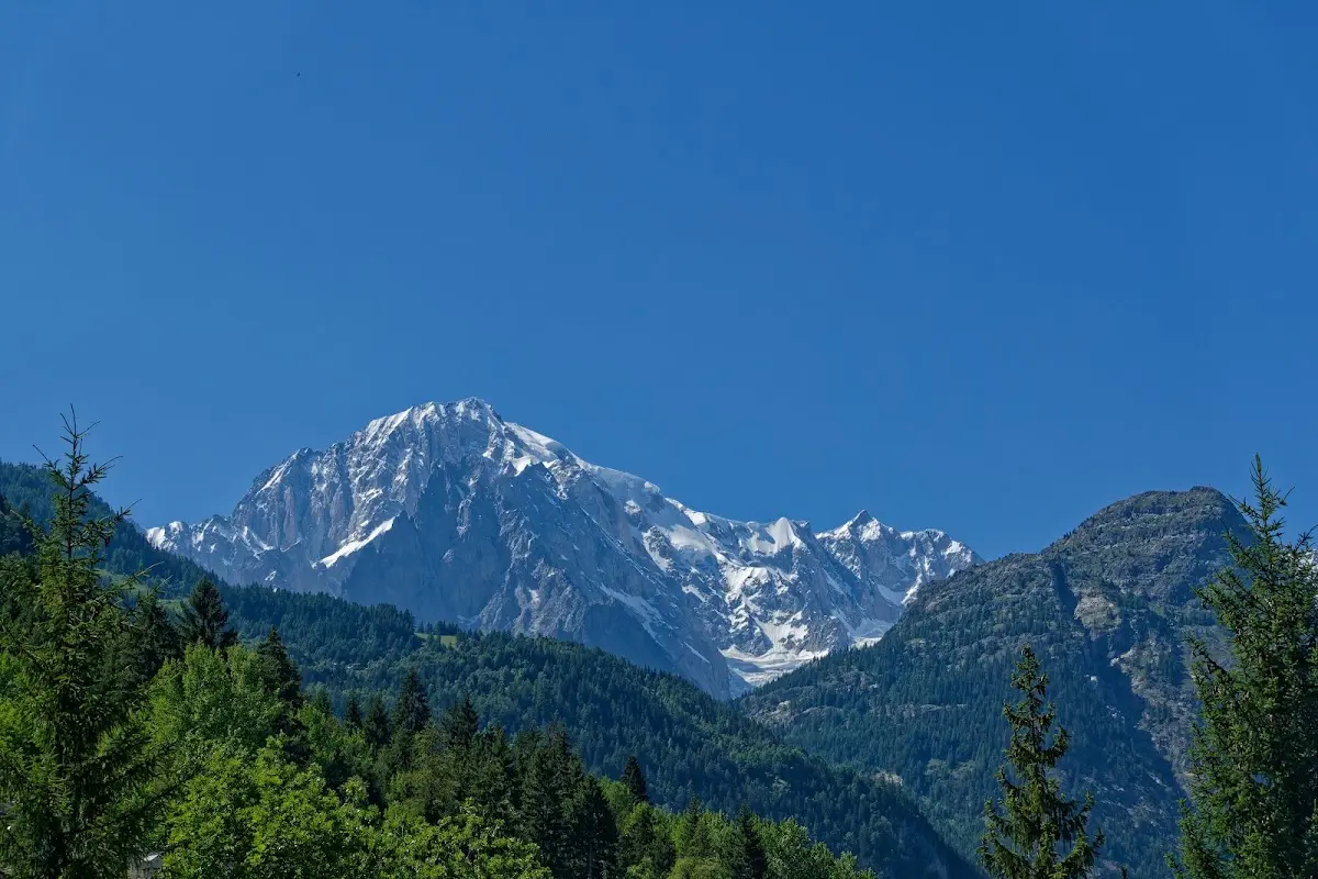
In the heat a longer lunch break was necessary almost every day, this time in the Aosta Valley, which was originally inhabited by the Celts and conquered by the Romans in 25 BC, who founded Augusta Praetoria, today’s Aosta, among other places. From the south you can see the Mont Blanc massif from there; at the end of the valley lies Courmayeur, and from there the Mont Blanc Tunnel, which opened 50 years ago - on 19 July 1965 - leads to Chamonix-Mont-Blanc.
Col du Petit St. Bernard (2188 m)
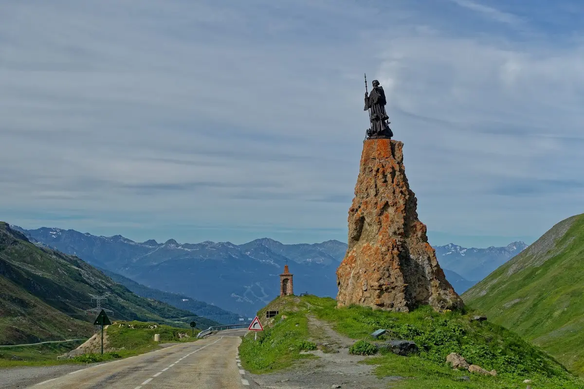
Via the 54 km long pass road (built by Napoleon III) of the Little St Bernard you reach Bourg-St Maurice in France, on the Isère in the upper part of the Tarentaise valley. Just below the summit stands a statue of the Christian saint Bernard of Menthon.
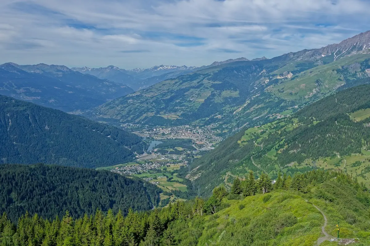
Col de l'Iséran (2764 m)
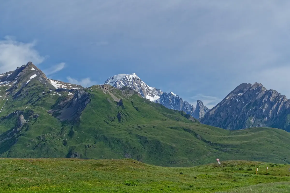
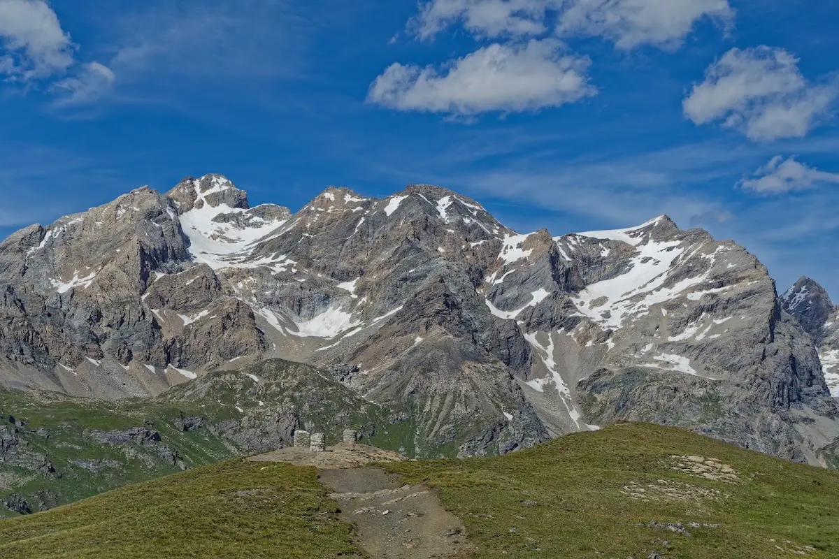
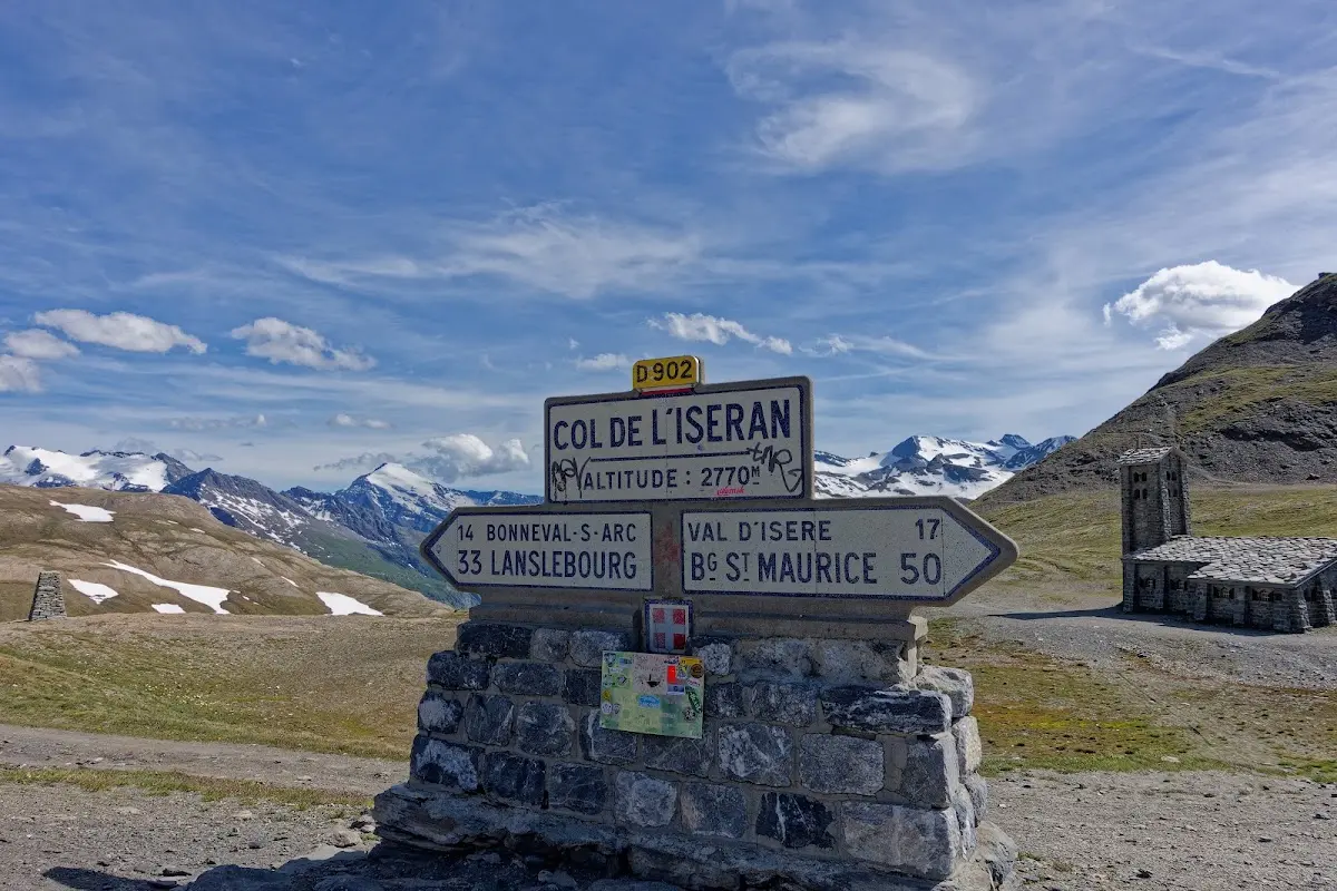
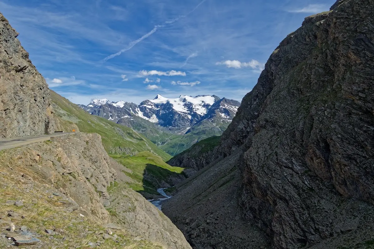
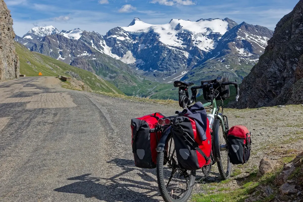
The Col de l’Iséran is the highest paved pass crossing in the Alps. The Cime de la Bonette at 2802 m is often named as the highest Alpine pass, but that height is only reached by an additional loop, as the actual summit of the Col de la Bonette is at 2715 m. Then follow the Stelvio Pass (2757 m) and the Col d’Agnel (2746 m); I rode both on this tour, as well as the Col de la Bonette (including the additional loop).
The Col de l'Iséran is part of the Route des Grandes Alpes and the pass road connects the high valleys of the Isère (Tarentaise) and the Arc (Maurienne).
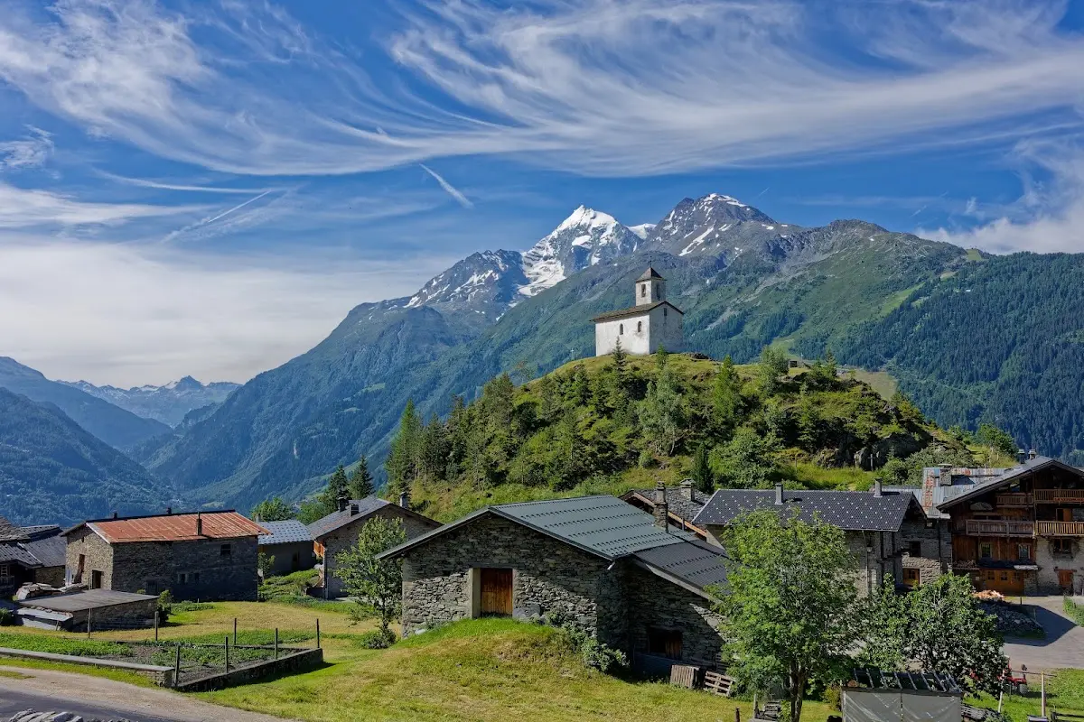
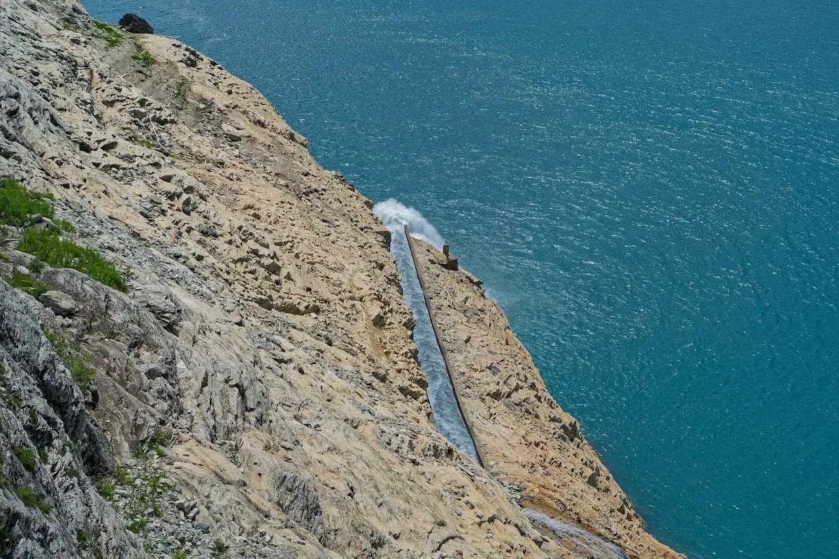
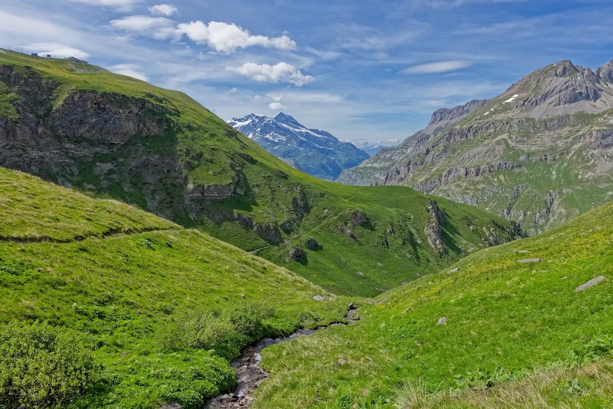
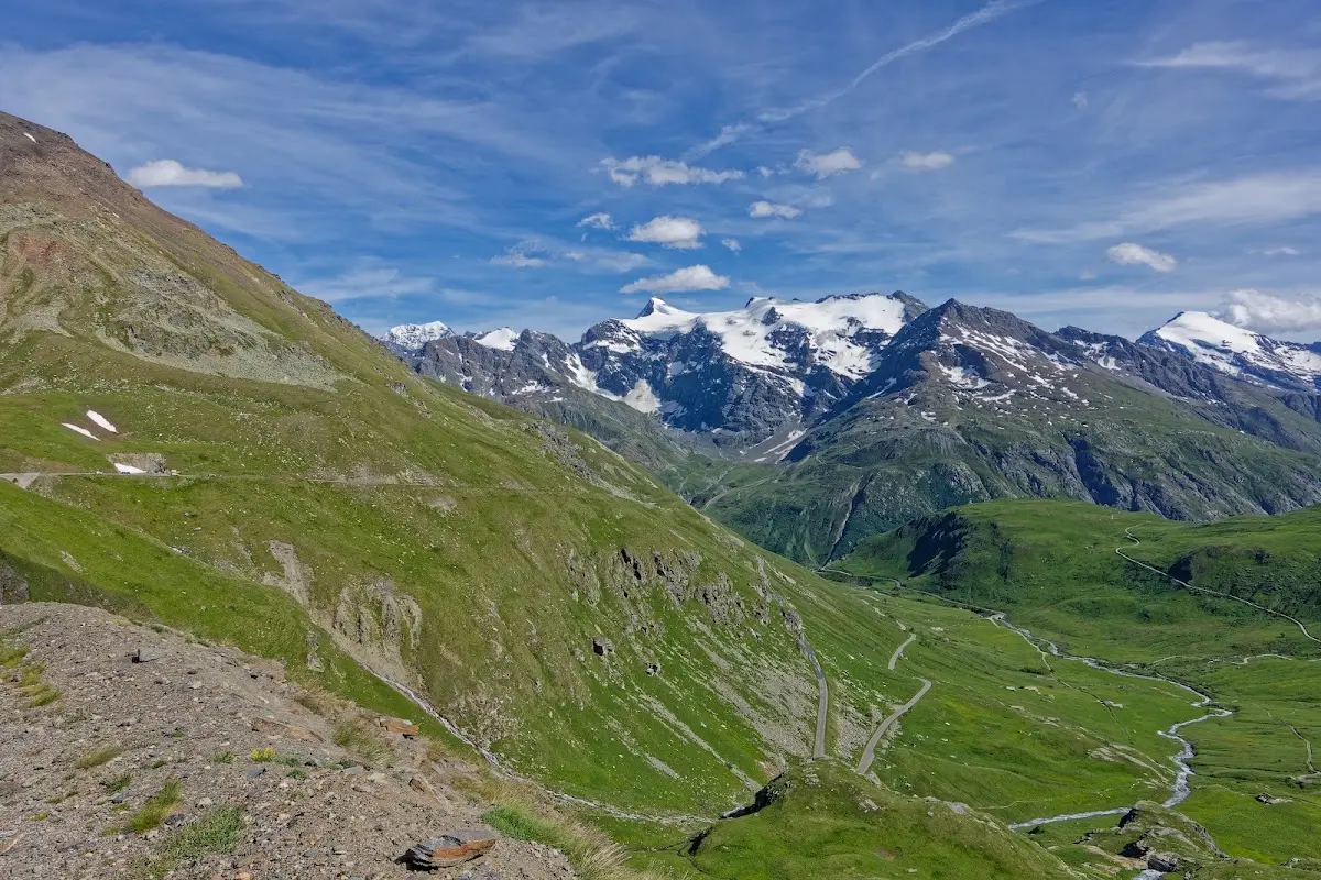
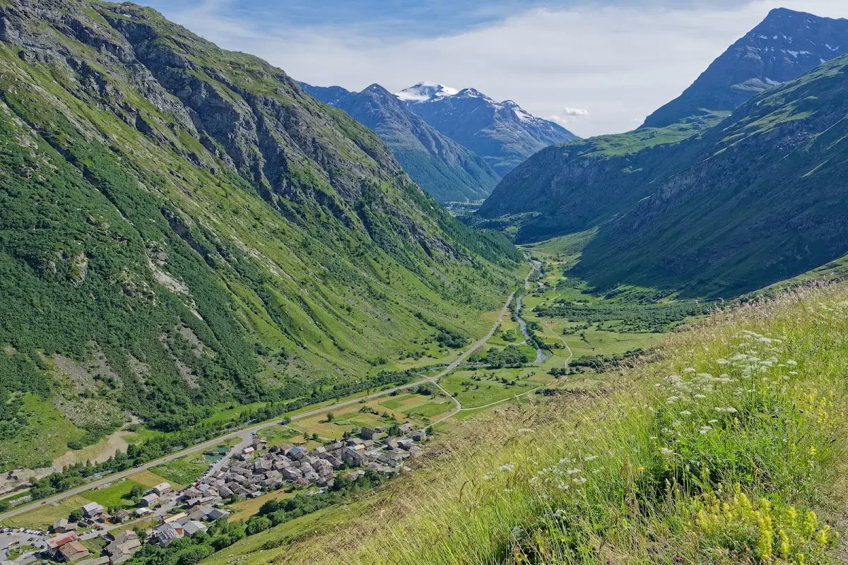
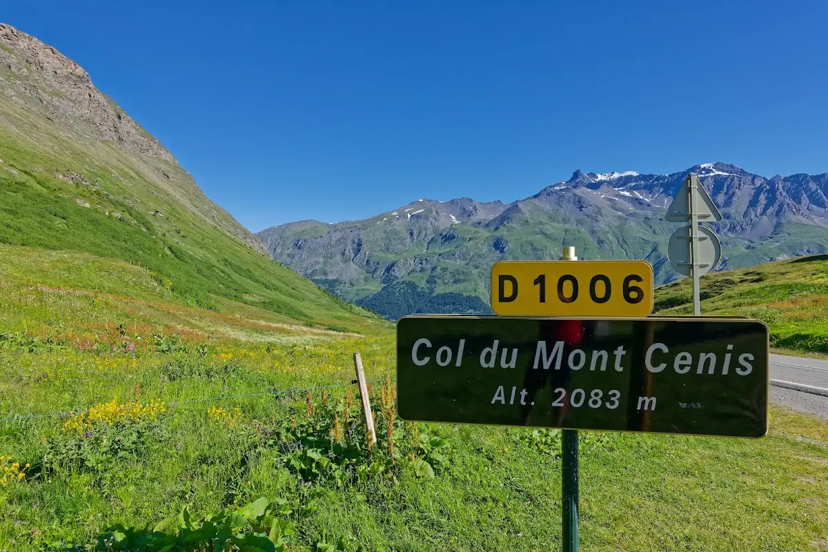
Col du Mont Cenis (2081 m)
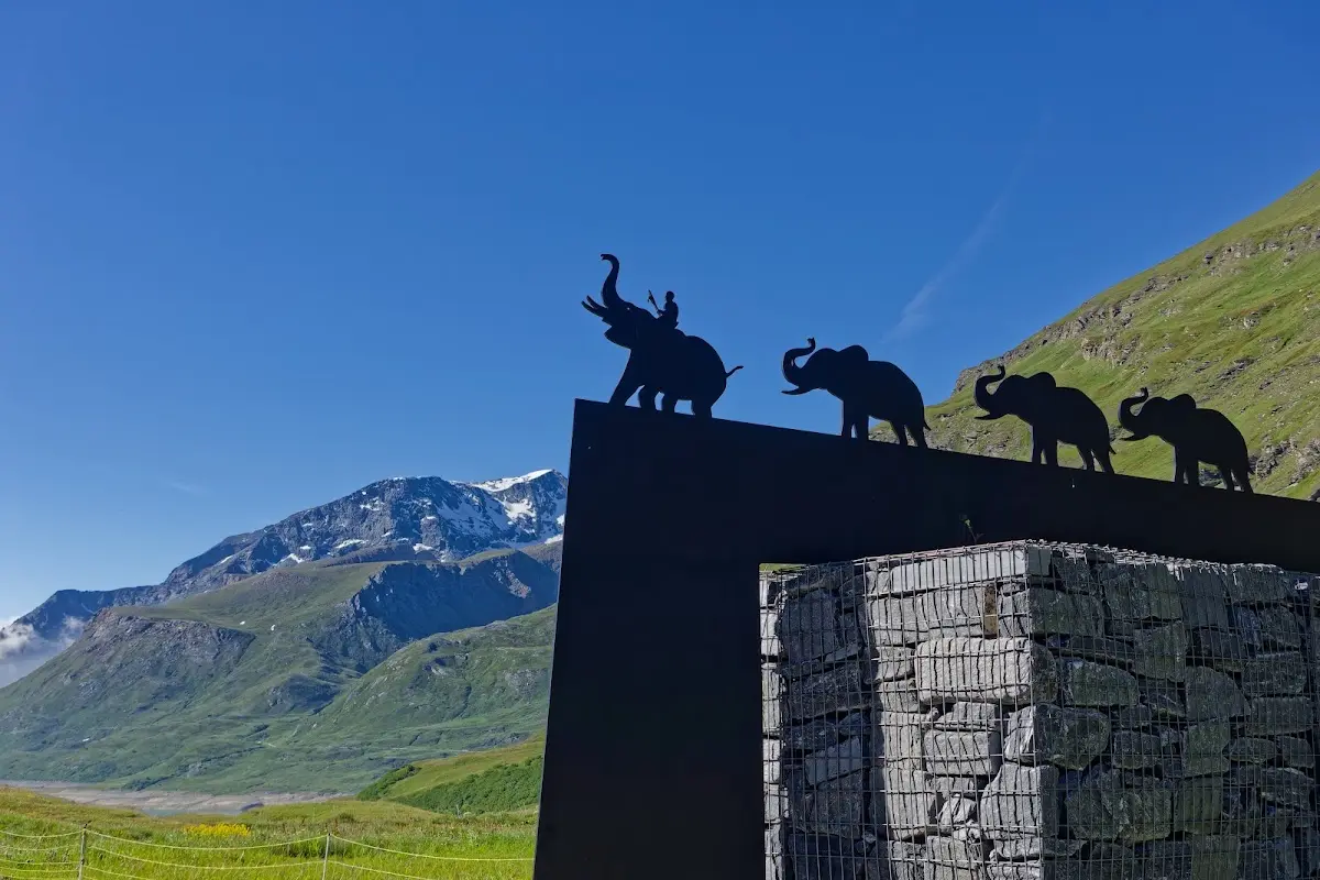
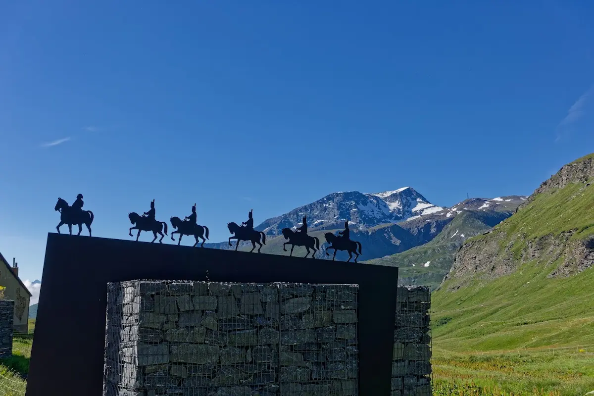
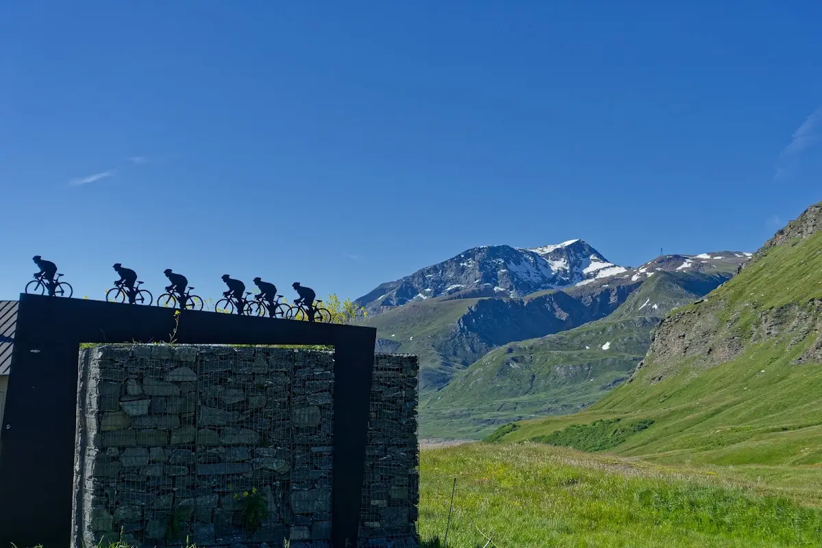
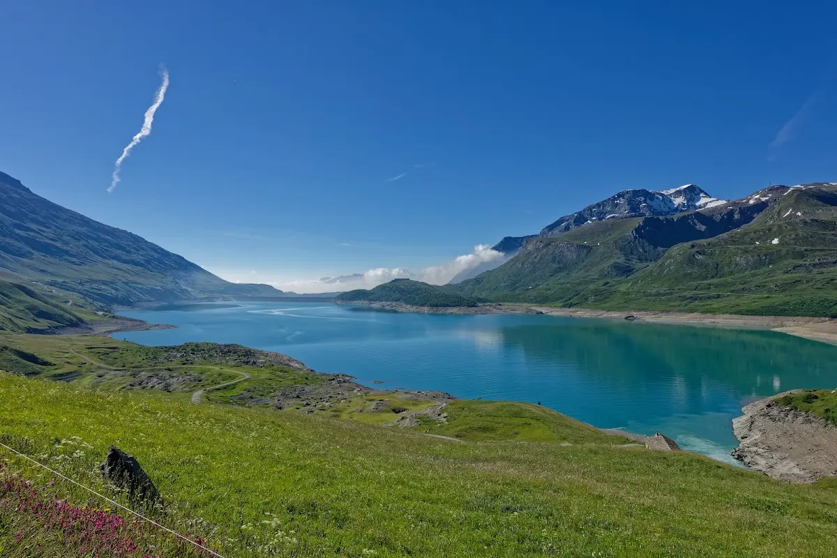
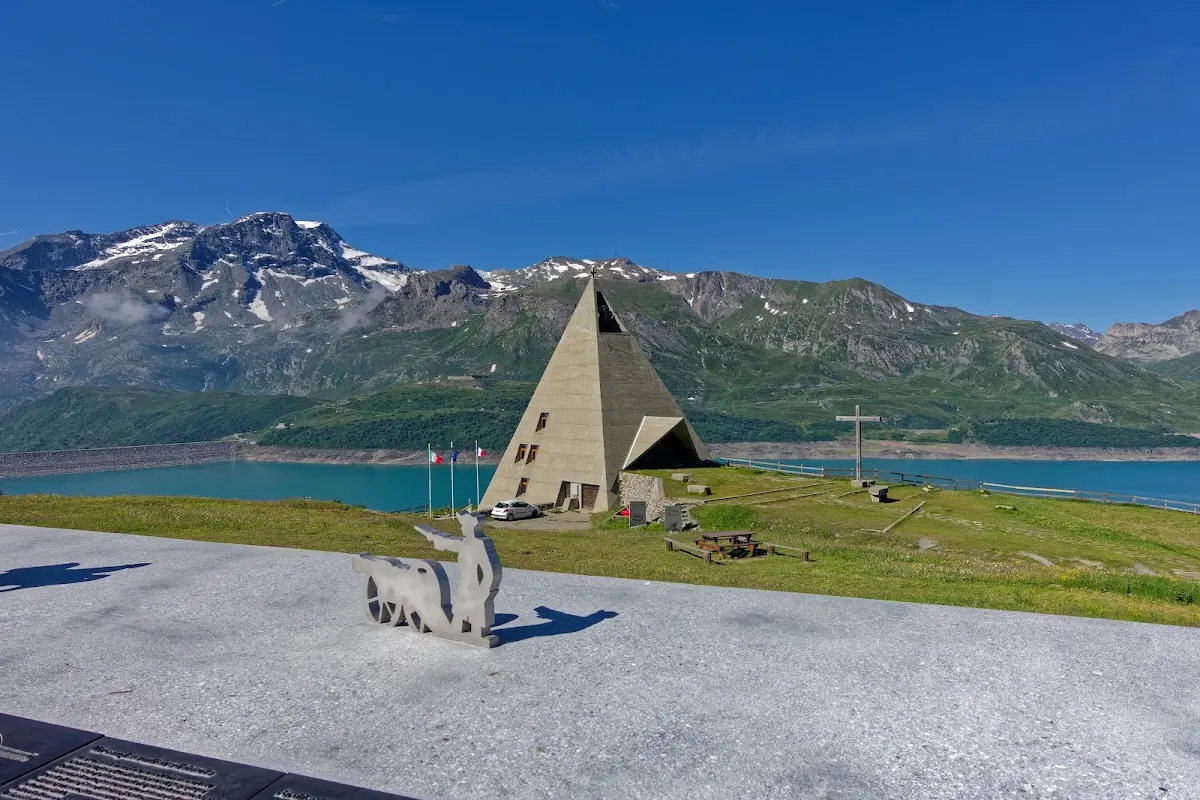
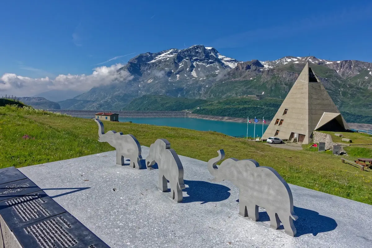
The pass road over the Col du Mont Cenis connects Lanslebourg in France with Susa in Italy. There was already a crossing here in Roman times, and in January 1077 Henry IV crossed the Alps here on his way to Canossa; Napoléon Bonaparte had the road, opened to traffic in 1803, improved.
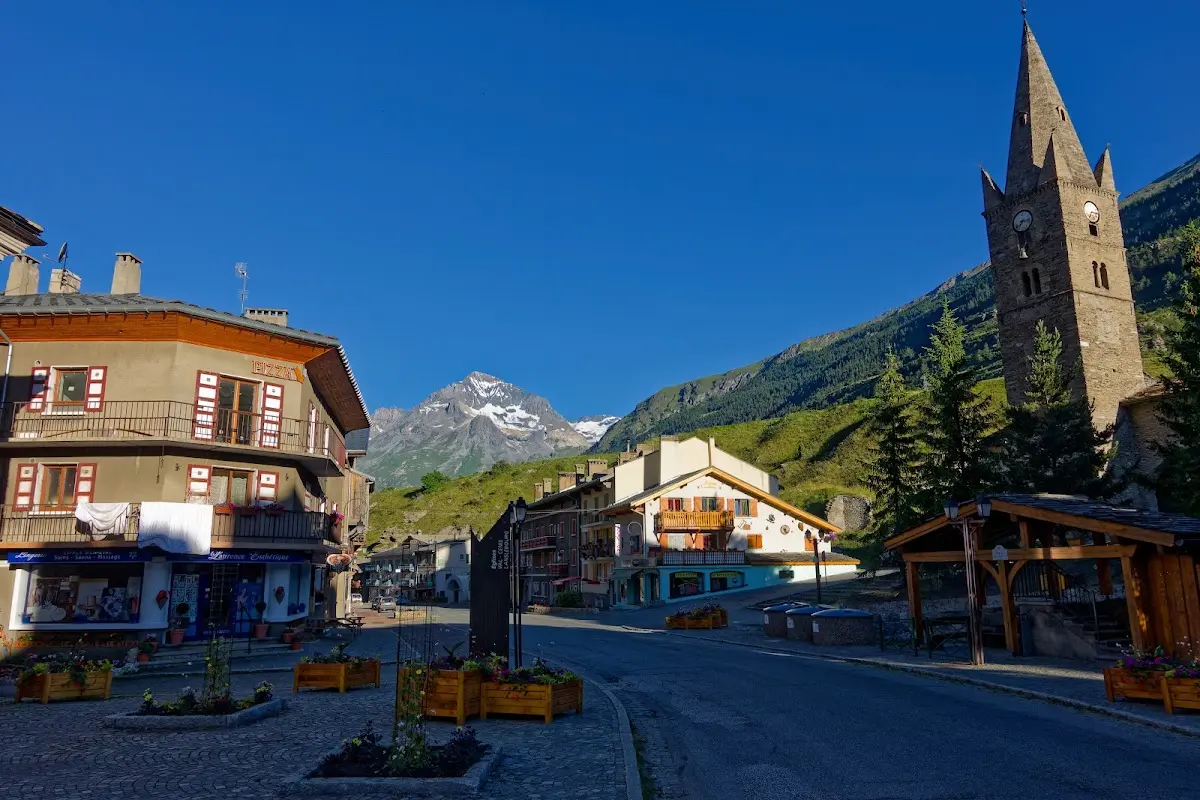
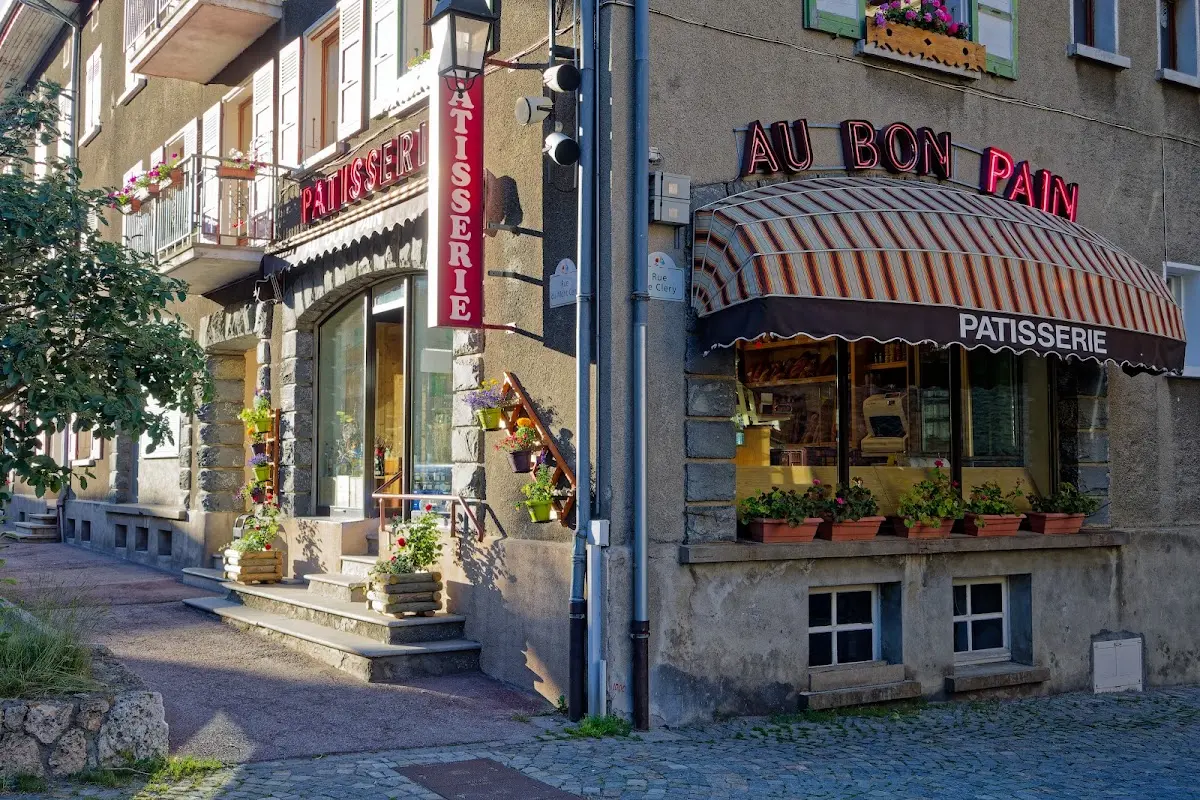
Colle delle Finestre (2178 m)
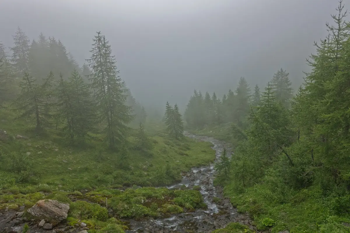
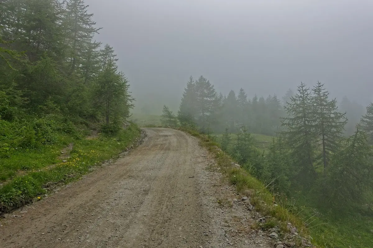
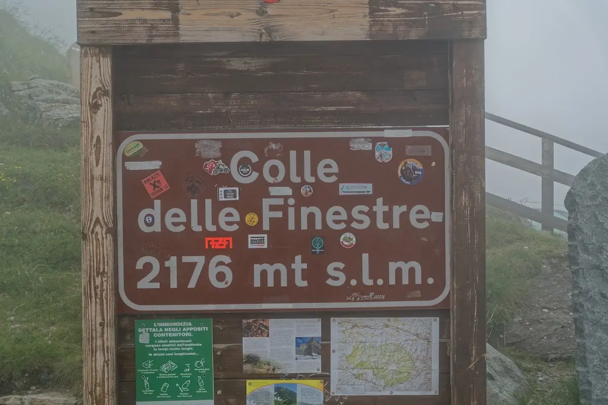
To avoid the busy road from Susa to the Col de Montgenèvre I used the Colle delle Finestre, which lies in the nature reserve Parco naturale Orsiera - Rocciavrè and connects the Susa valley with the Chisone valley. In 2005 the Giro d’Italia crossed the pass on the penultimate day of the race, and Italian television partly produced the pictures of the event in black and white to recall the time of Fausto Coppi, when such unpaved roads were still normal. Because of fog and very limited visibility I skipped the Assietta ridge road and continued in the Chisone valley towards Sestriere.
Sestriere (2033 m)
The well-known Italian winter sports resort of Sestriere hosted the alpine skiing events at the 2006 Olympic Games and, besides the Col de Montgenèvre, is a pass that has to be crossed on the way to France, Briançon.
Col de Montgenèvre (1860 m)
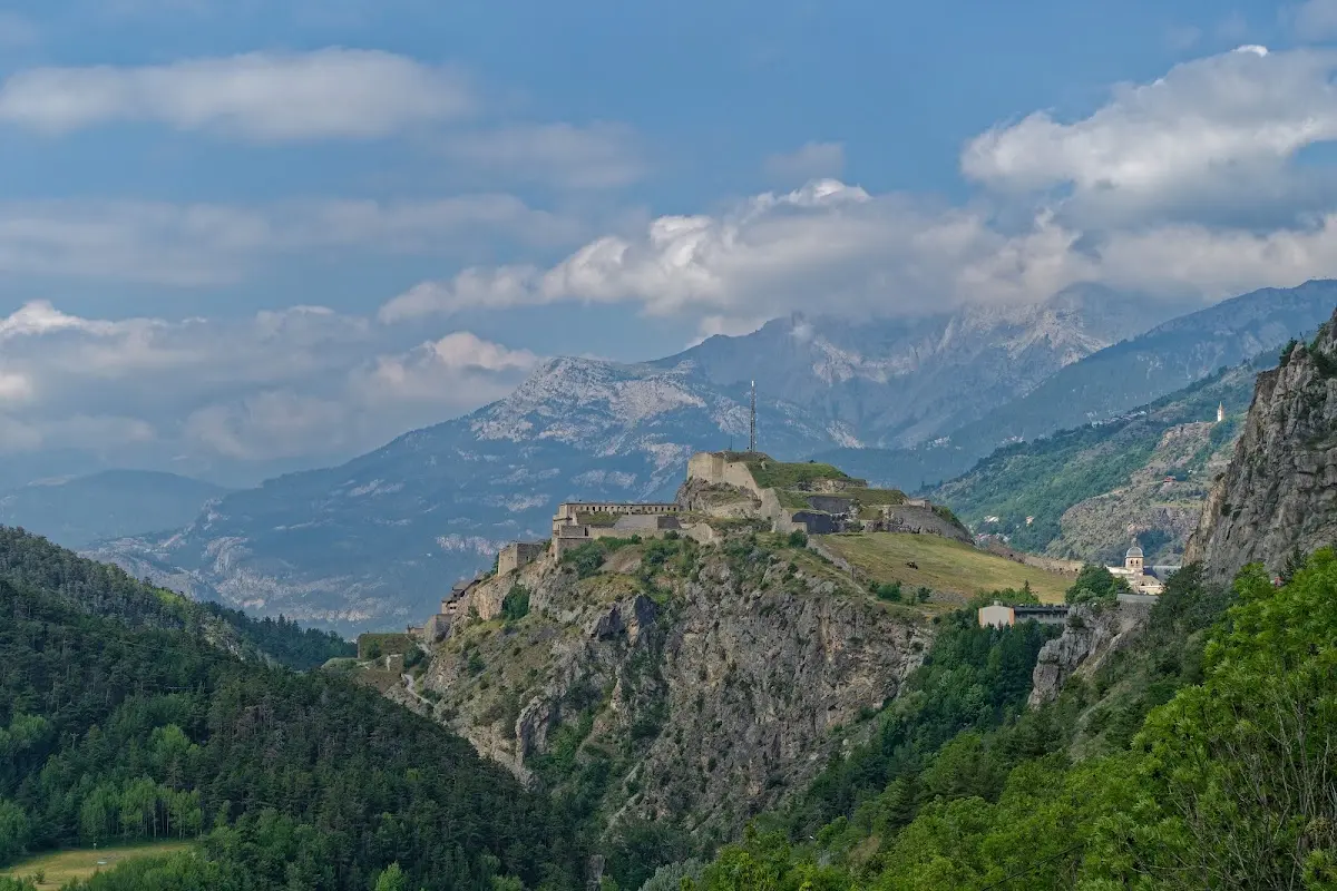
The Montgenèvre is a border pass between France and Italy that was already an important connection between the middle Rhône valley and the Po plain in Roman times. Some tunnels can be bypassed as a cyclist on the parallel old road. On the French side lies the town of Briançon, which, owing to its strategically important position, has a heavily built-up system of fortifications comprising, besides the upper town and a citadel, several smaller forts (Citadel, Fort Salettes, Fort des Têtes, Fort du Randouillet...). Briançon has been a twin town of Rosenheim since 1979.
Col d'Izoard (2360 m)
From Briançon into the Guil valley you ride over the Col d'Izoard, which has a marked cycle lane. To the south you descend through the Casse Déserte, the “deserted scree”, a dry weathered landscape with scree slopes and rock needles. The pass has already been on the programme of the Tour de France 35 times, first in 1922.
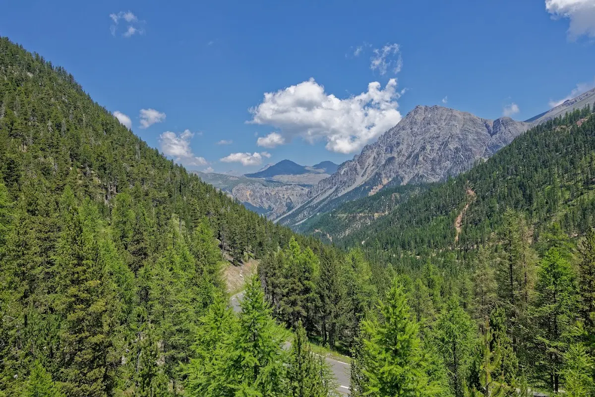
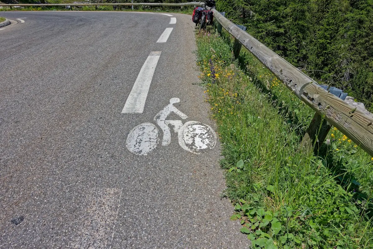
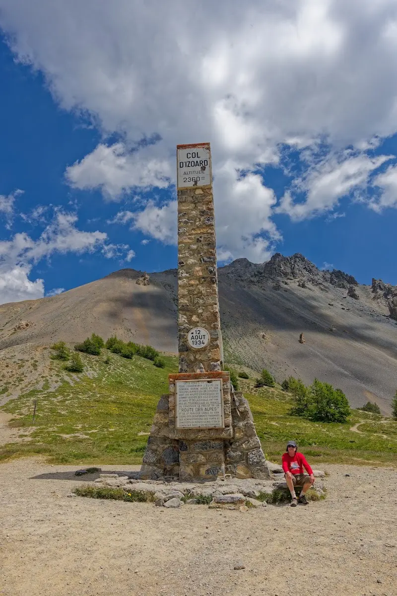
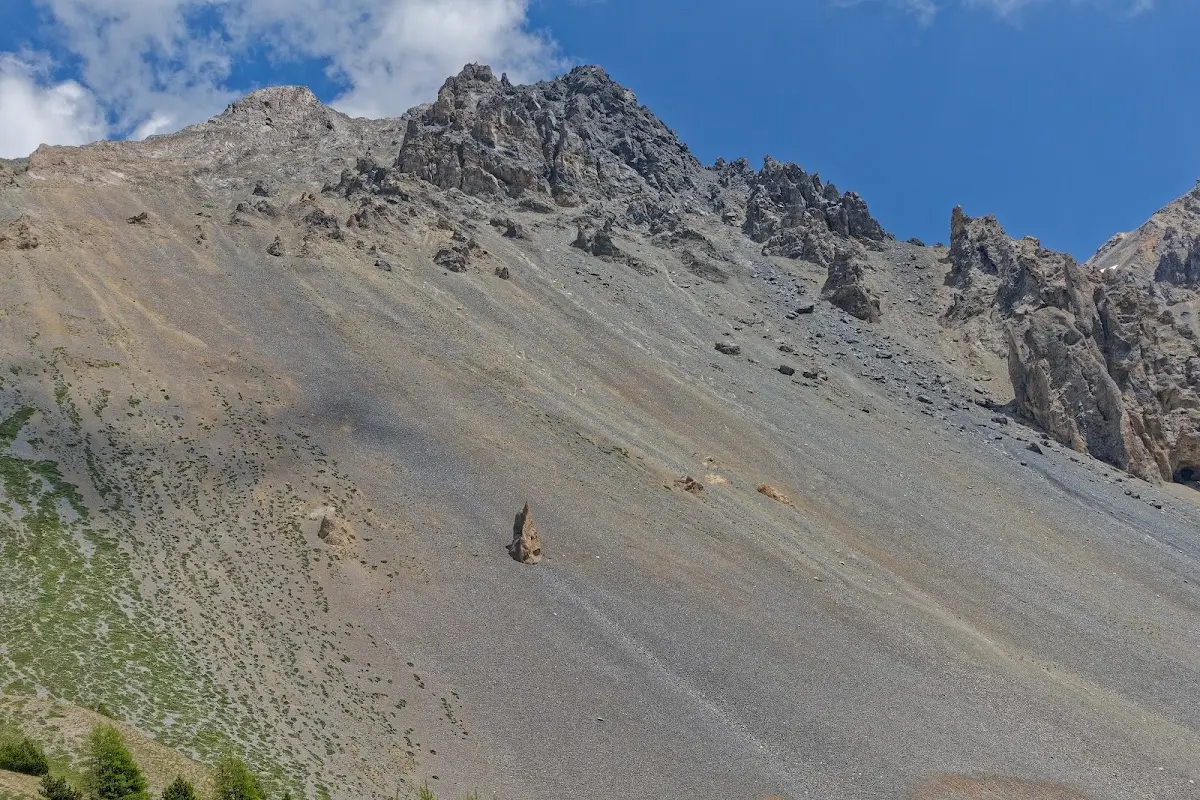
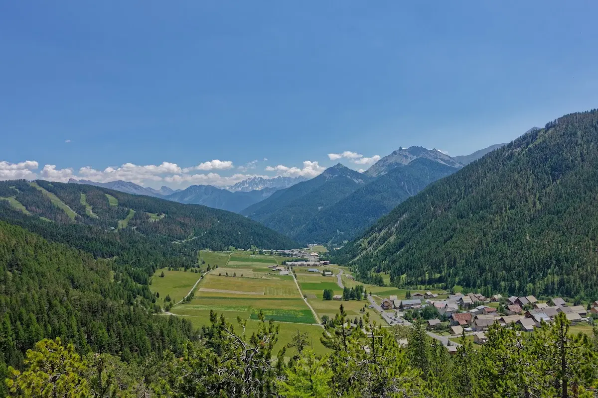
A few kilometres east in the Guil valley, past Fort Queyras, you reach the pass road of the...
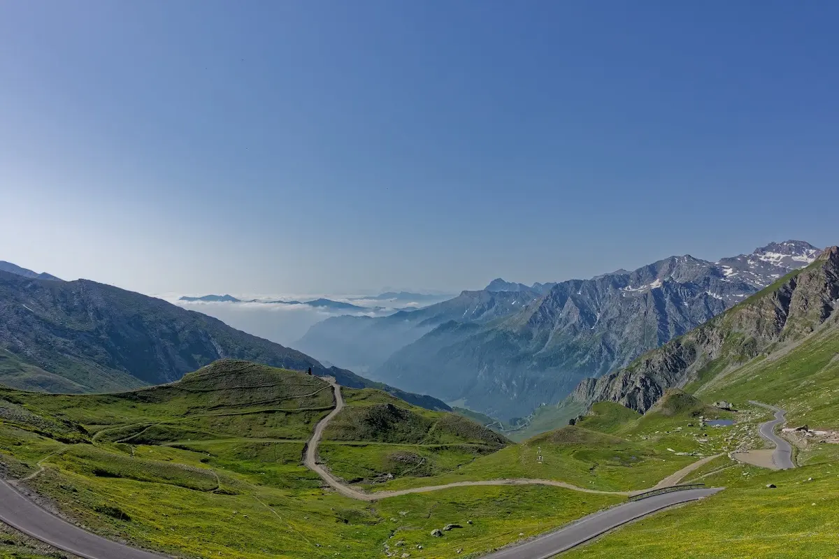
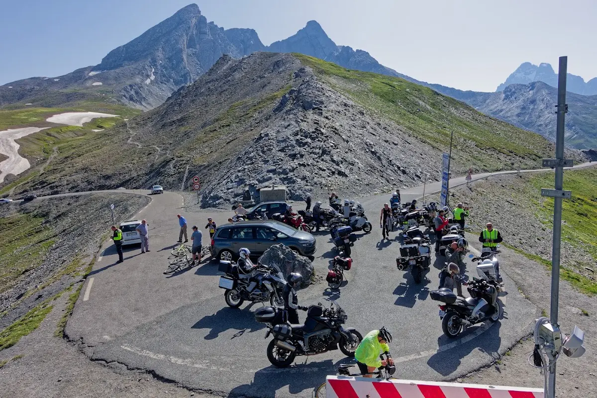
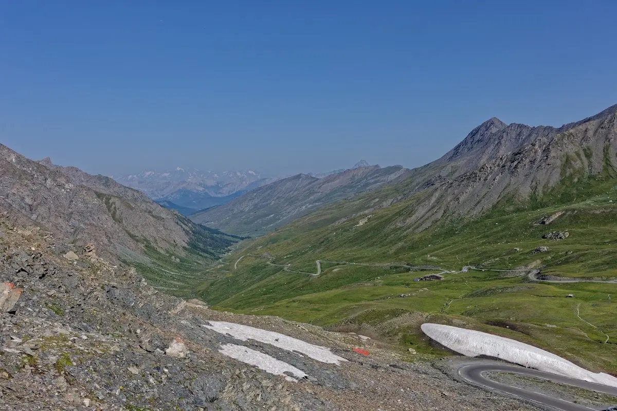
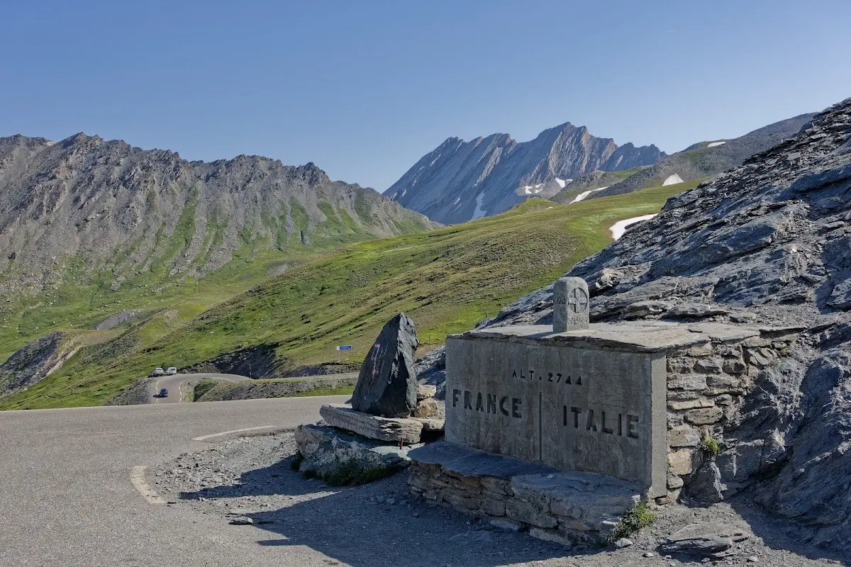
Col d'Agnel (2746 m)
which connects the French Guil valley with the Italian Varaita valley. As already written above, after the Col de l’Iseran and the Stelvio Pass it is the third highest paved pass in the Alps.
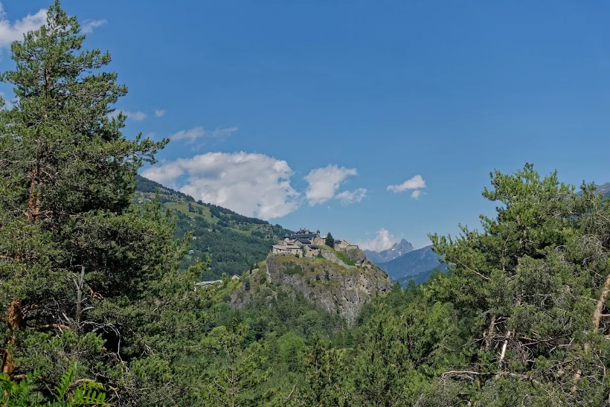
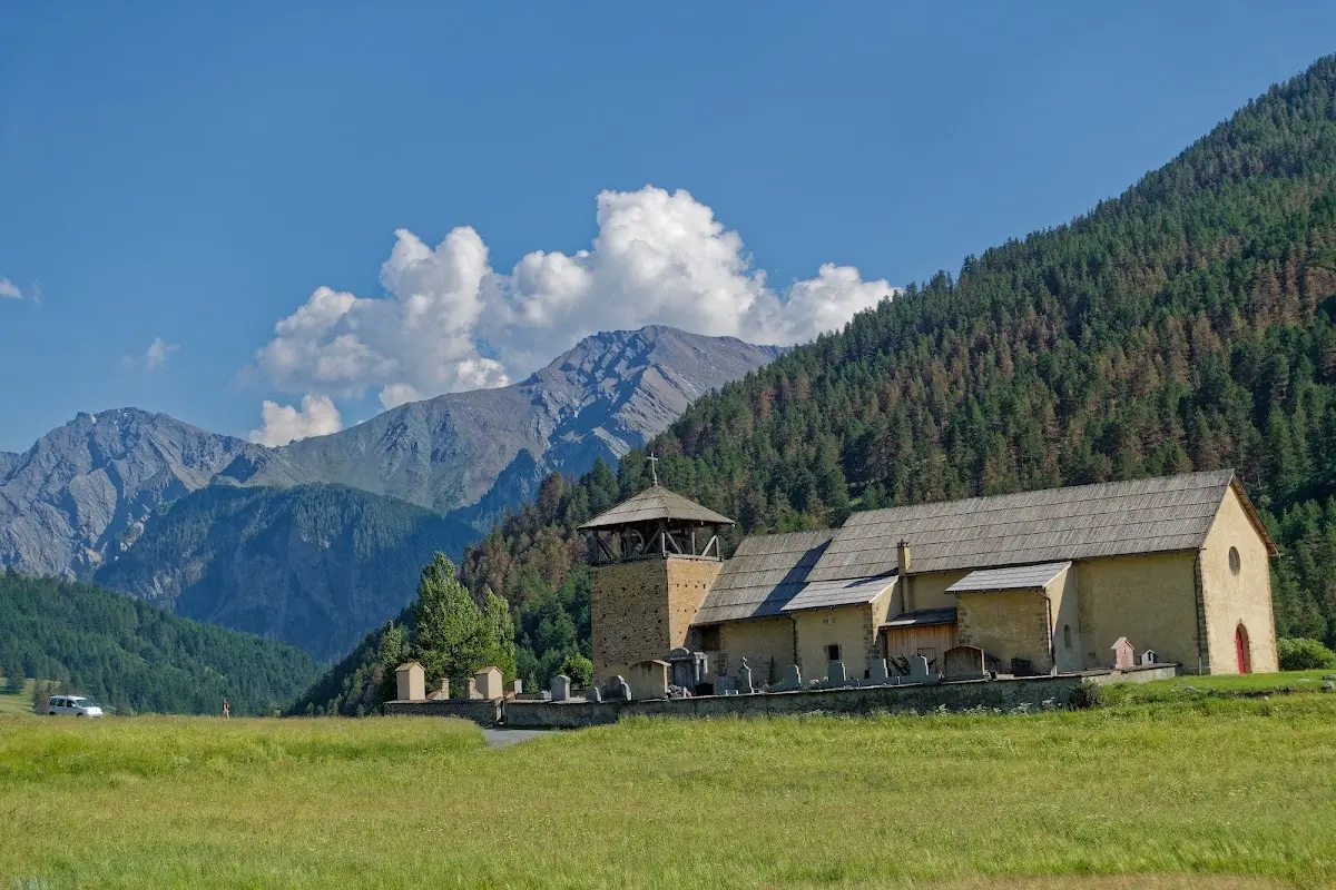
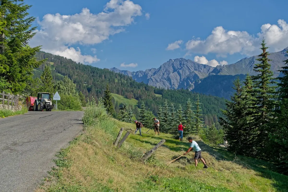
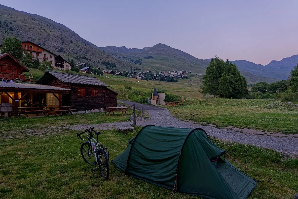
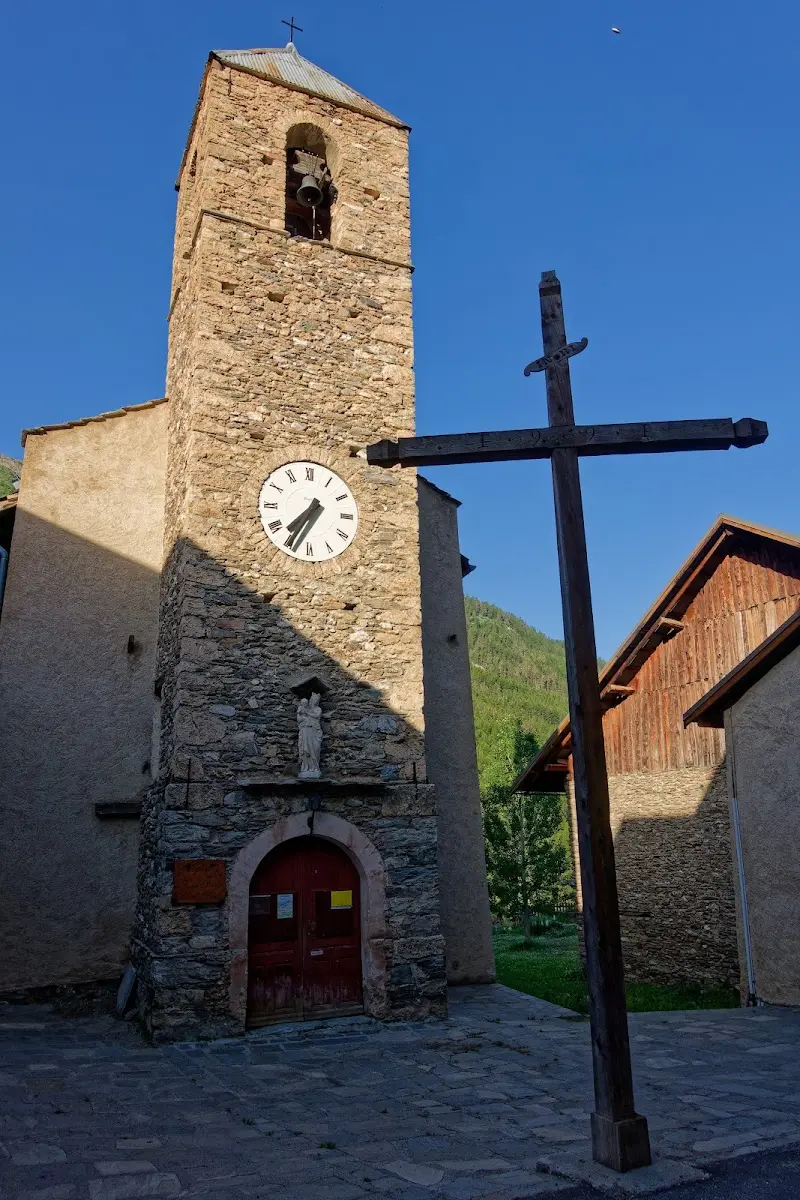
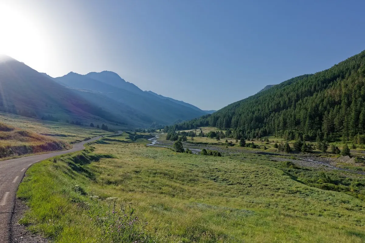
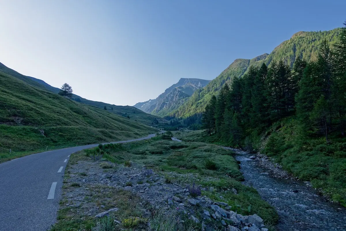
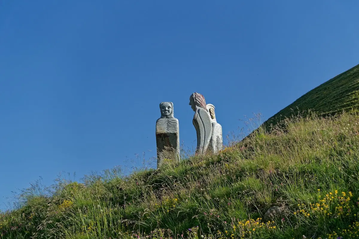
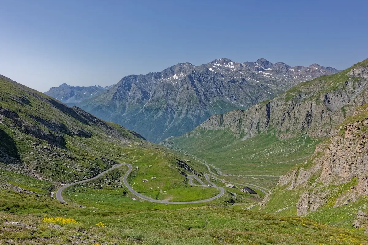
Colle di Sampeyre (2284 m)
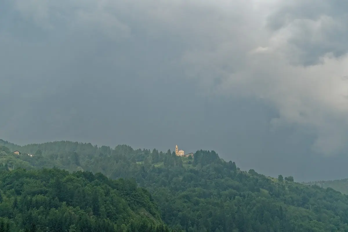
From the Varaita valley I cycled over the Colle di Sampeyre into the Maira valley to Stroppo; unfortunately visibility was somewhat limited. The Italian valleys are very thinly populated and motor traffic over the Alpine passes there is lower than in France. Worth considering for mountain bikers: the Varaita-Maira ridge road.
Colle dei Morti (2481 m)
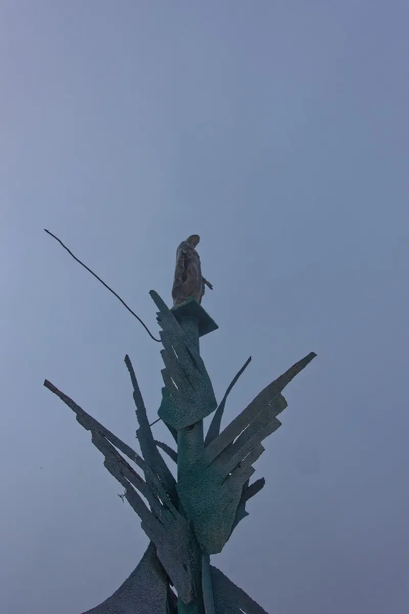
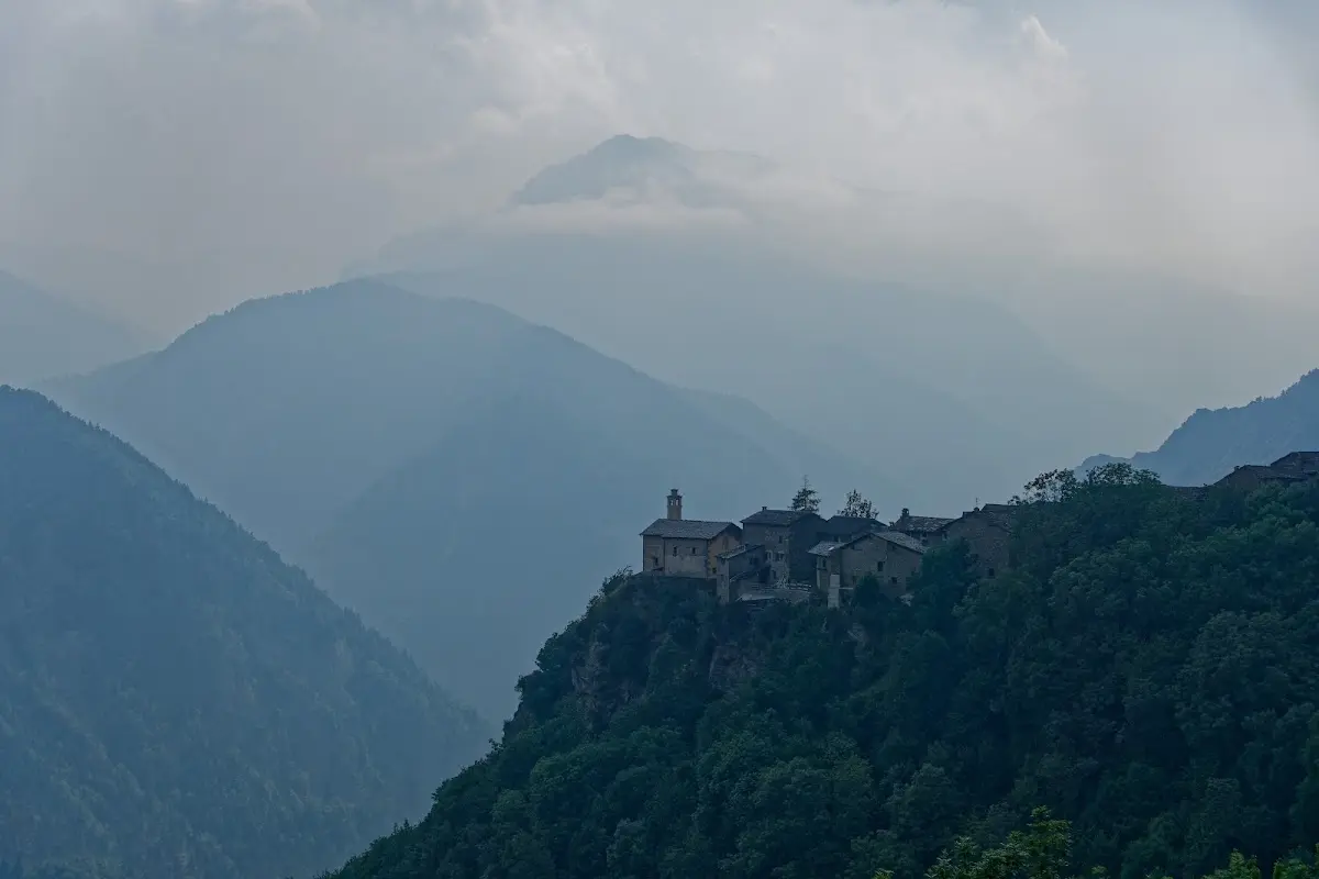
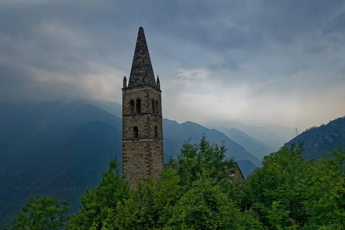
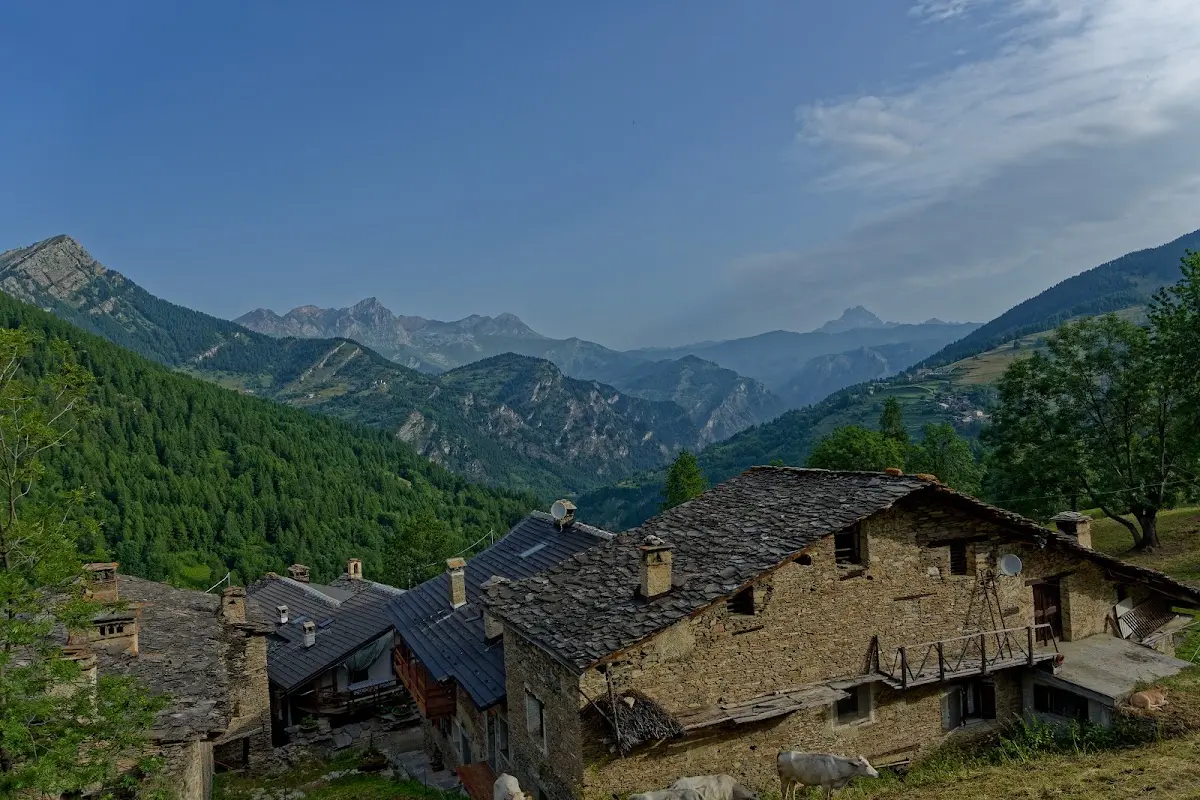
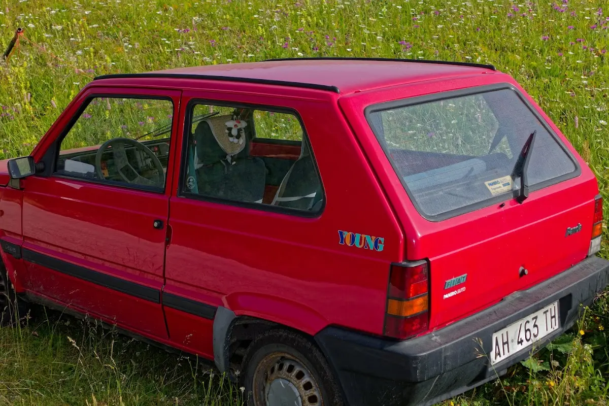
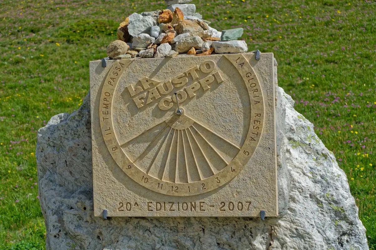
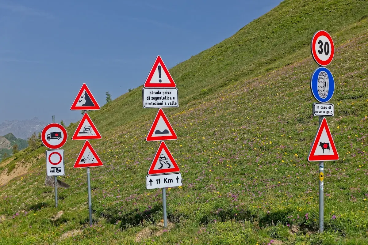
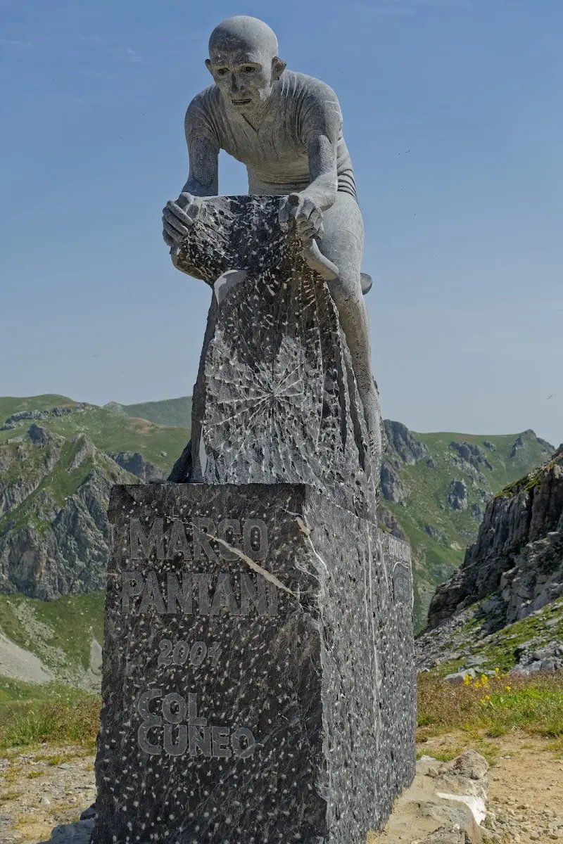
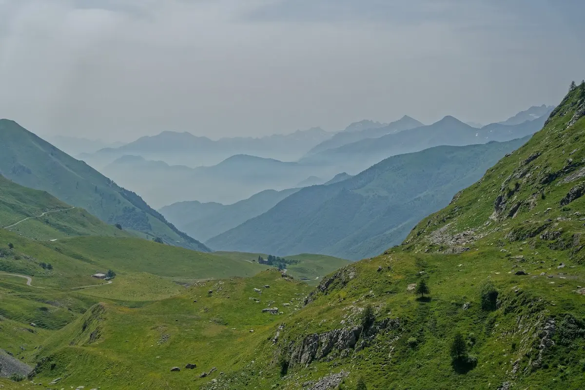
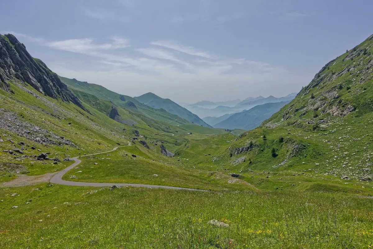
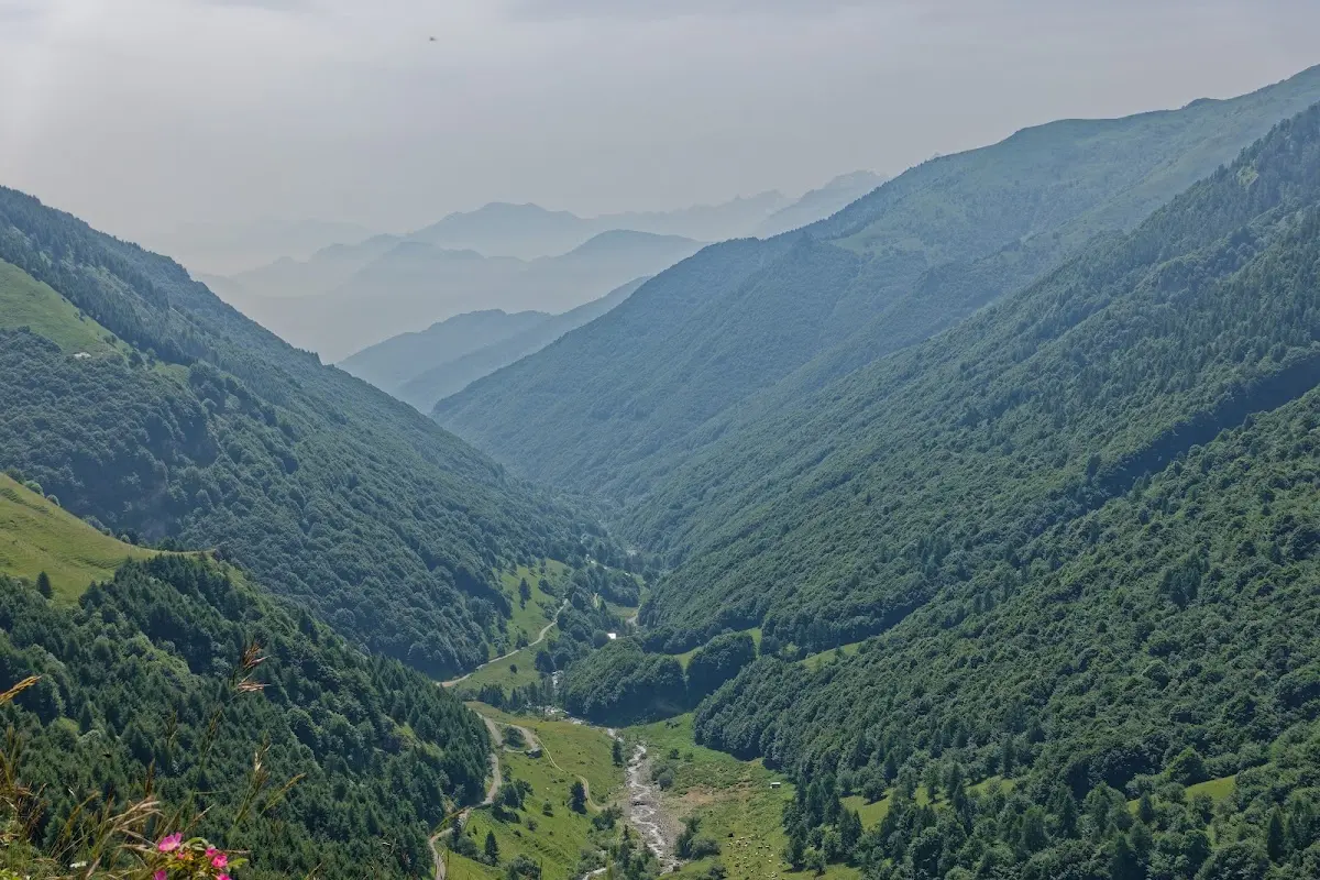
One of the most beautiful passes (not only down there) for me was the Colle dei Morti: varied route, interesting views, little traffic. At the top the Maira-Stura ridge road crosses, which would be interesting for mountain bikers. Monuments at the passes up there commemorate Marco Pantani and Fausto Coppi.
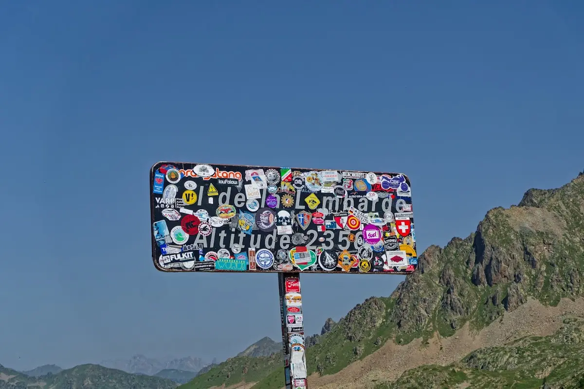
Col de la Lombarde (2350 m)
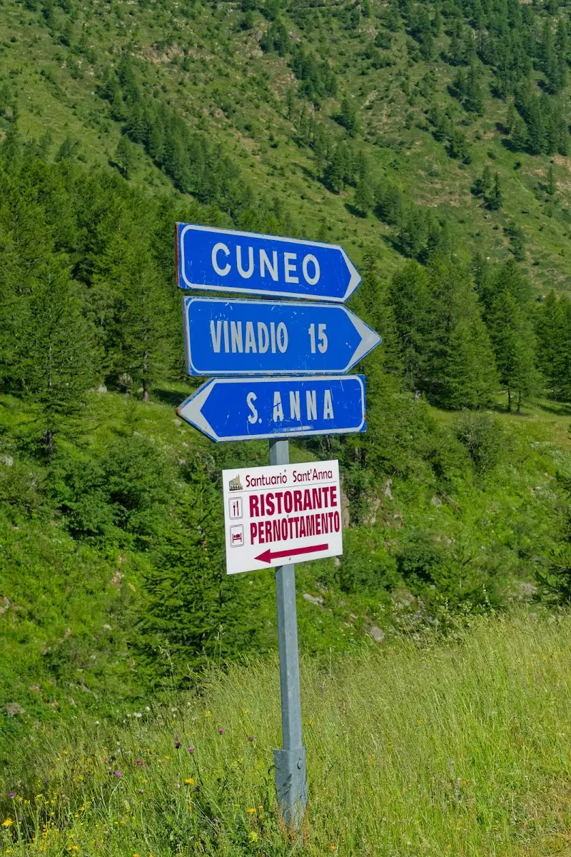
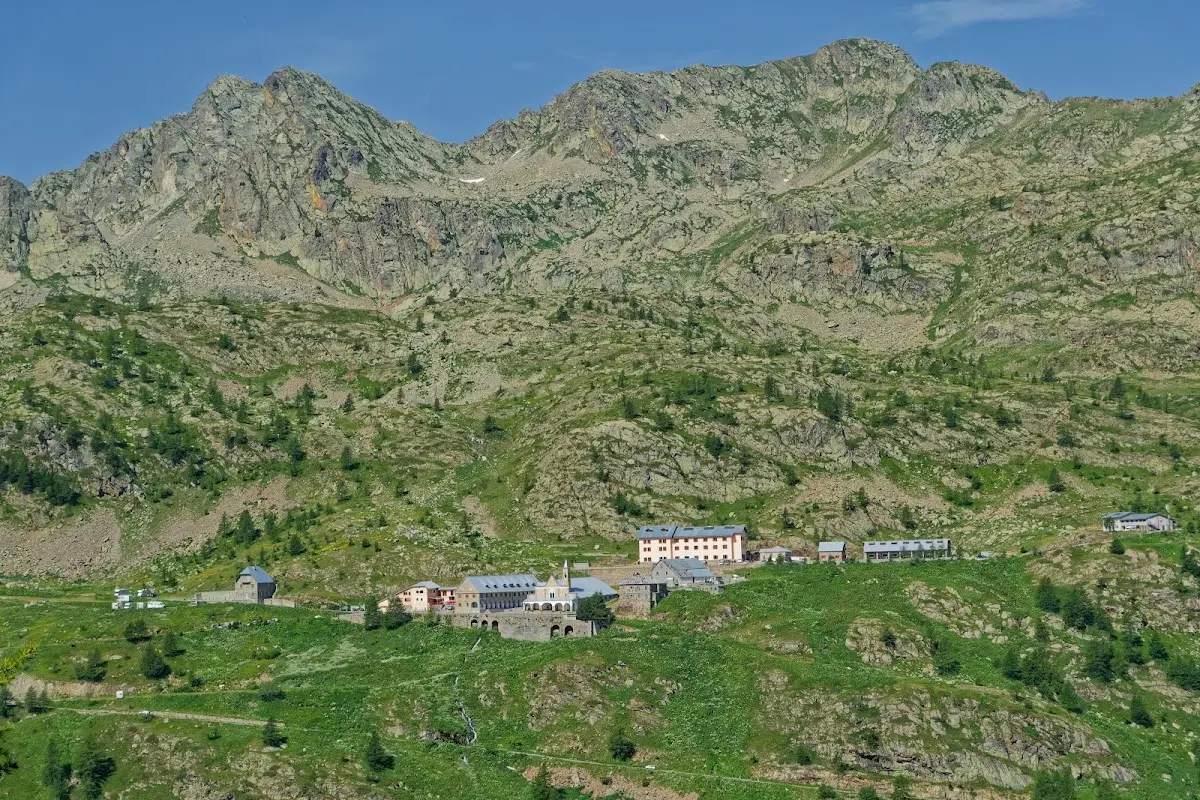
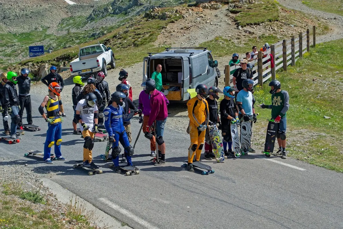
The Col de la Lombarde leads from the Stura di Demonte on the Italian side to the Tinée on the French side. The road on the Italian side is narrow with wonderful views, on the French side it is very wide, at least from the ski resort of Isola 2000 on. On the ascent from the Val Stura you pass the highest monastery in Europe, St. Anna di Vinadio, at an altitude of 2010 m.
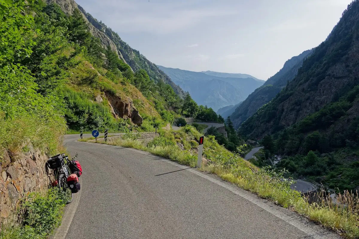
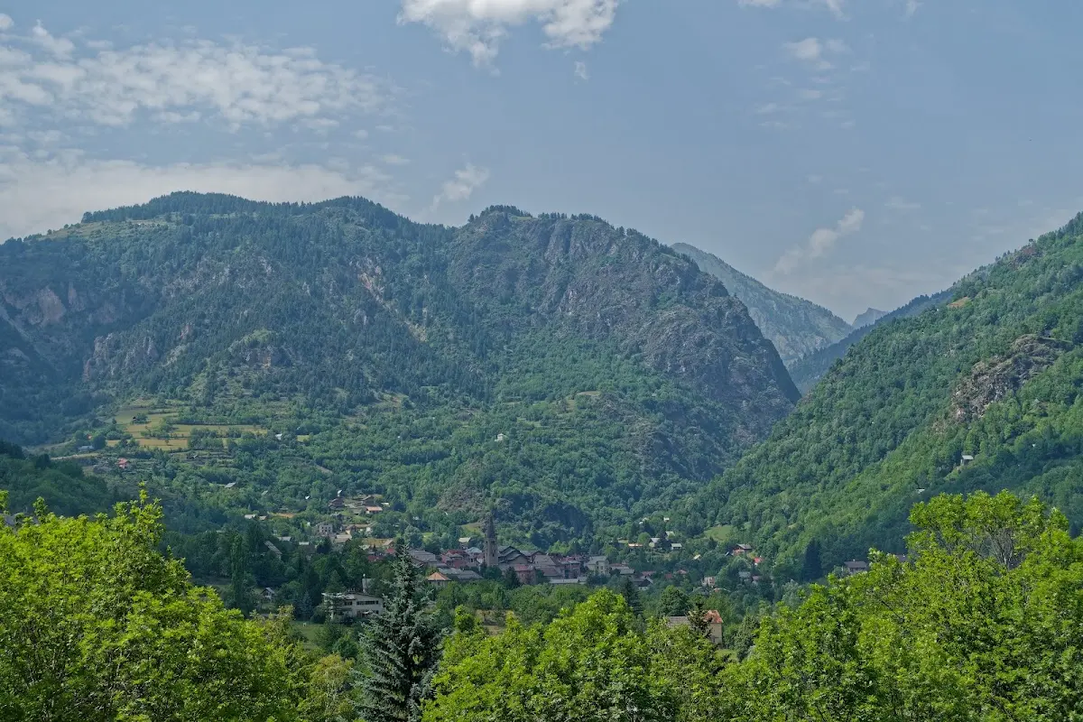
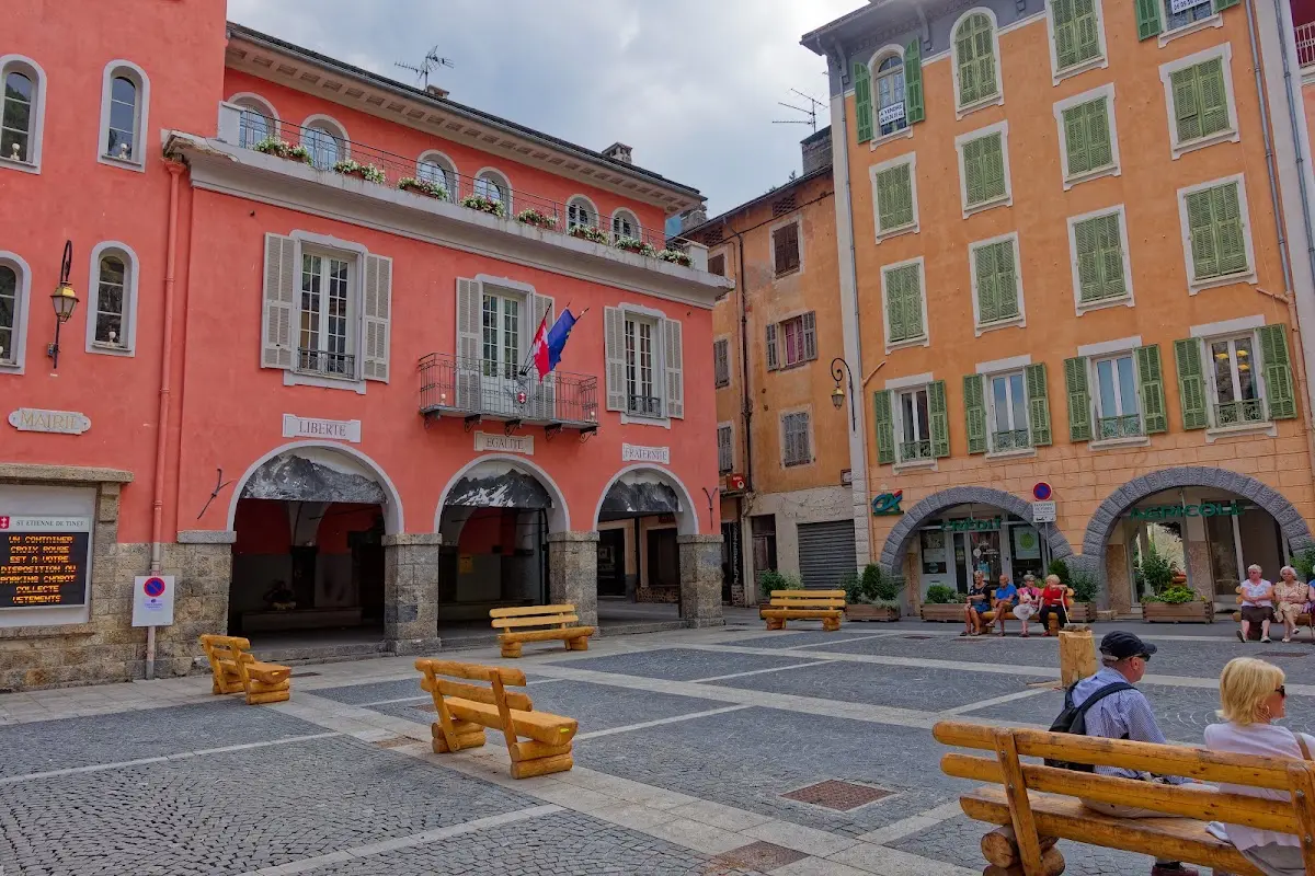
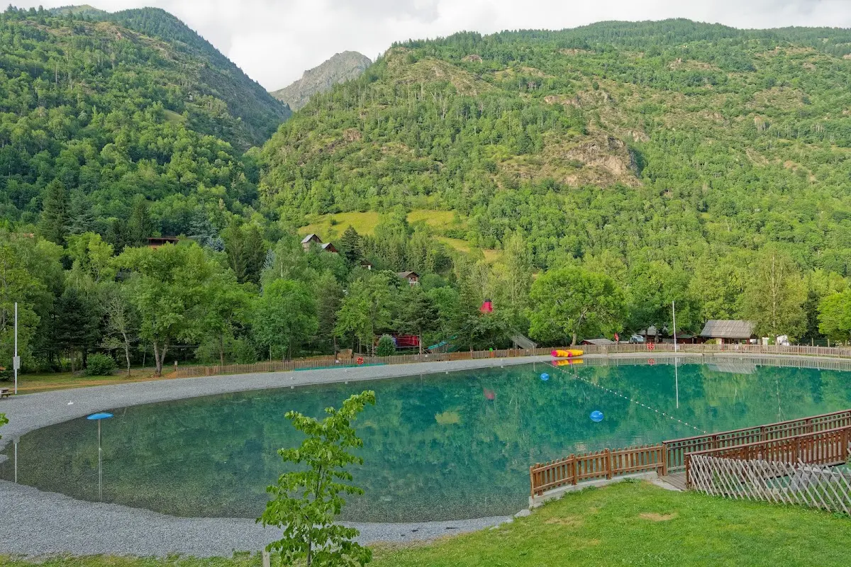
Saint-Etienne-de-Tinée is a good starting point for the...
Col de la Bonette (2715 m)
which leads through the Parc national du Mercantour in the Maritime Alps and, as described above, is the fourth highest Alpine pass. With an extra loop you ride up to the 2802 m high Cime de la Bonette.
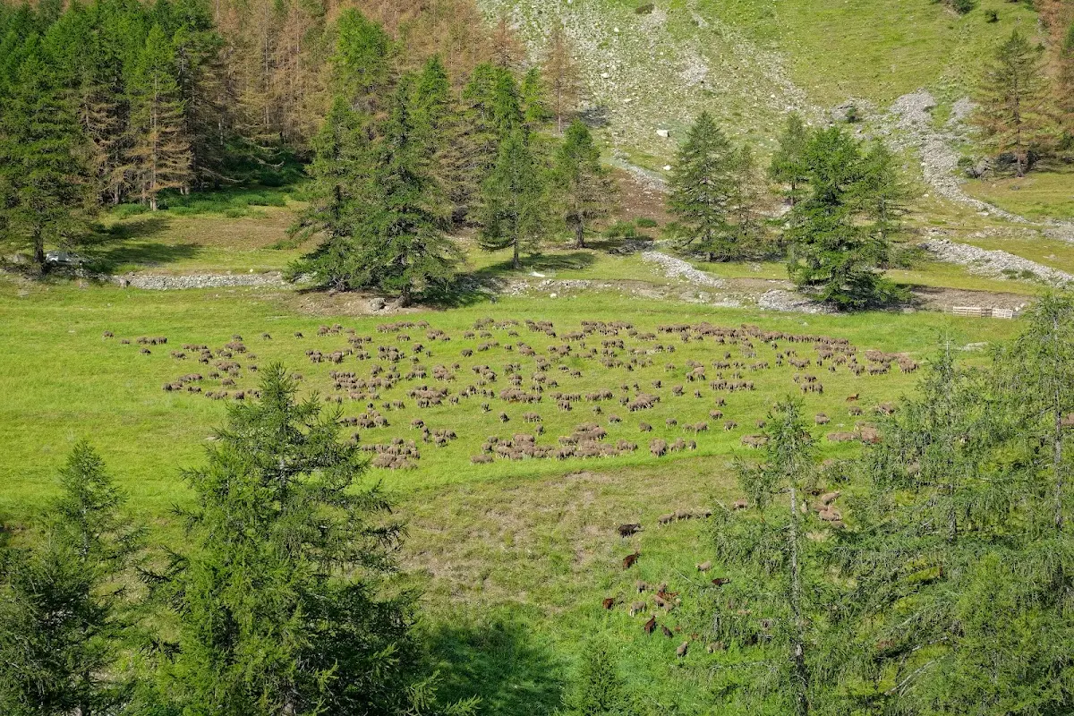
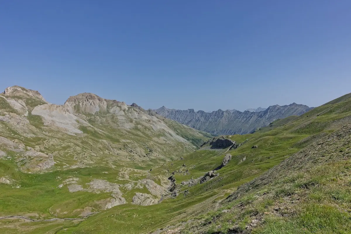
in the Ubaye valley I rode on to the Lac de Serre-Ponçon
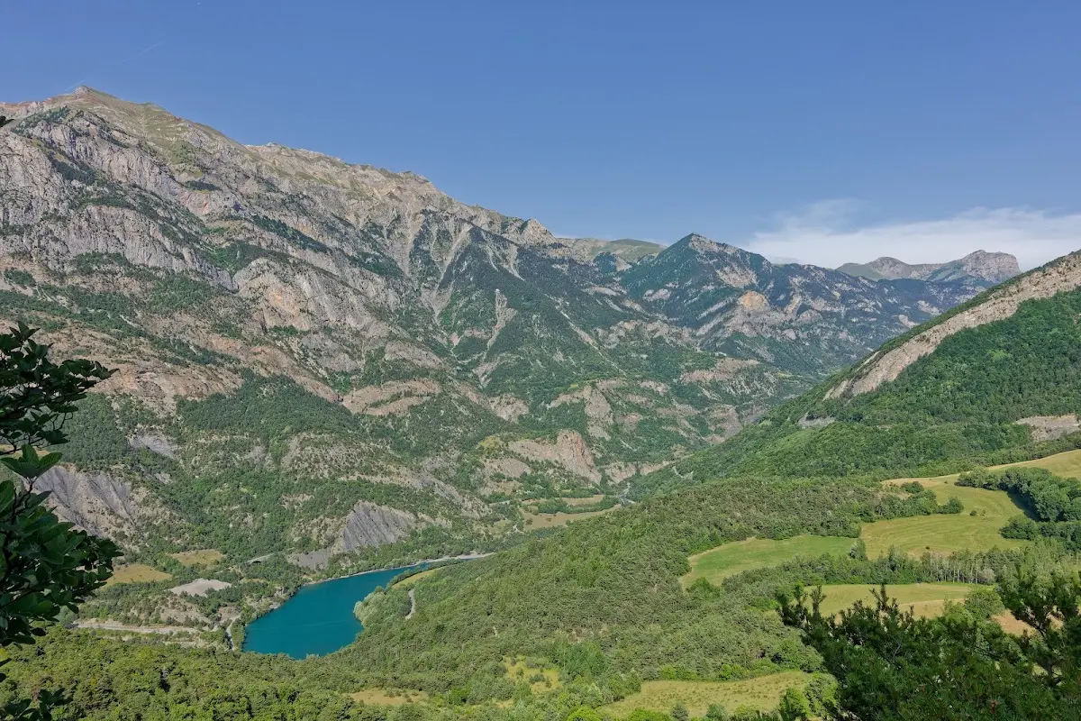
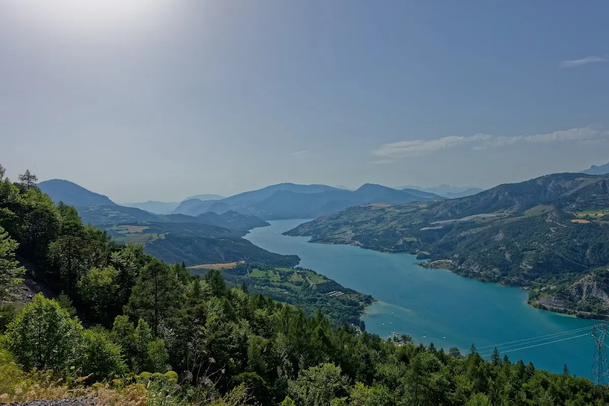
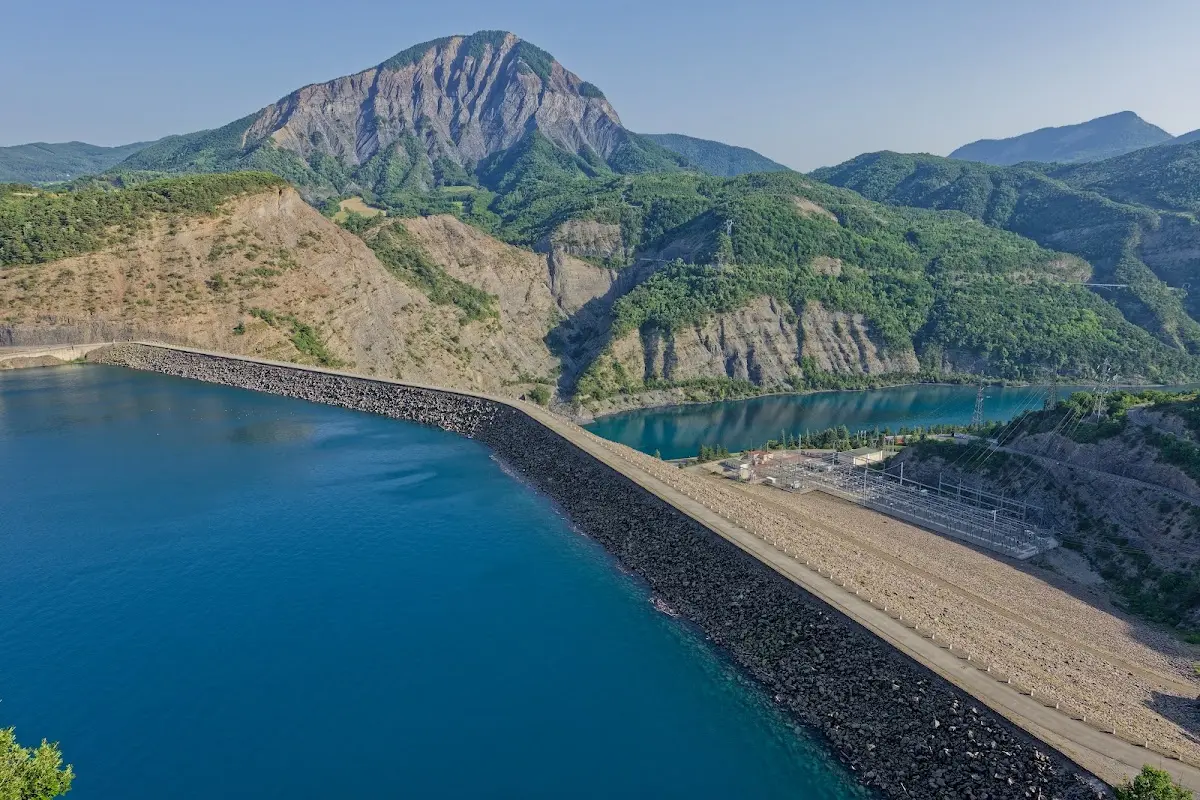
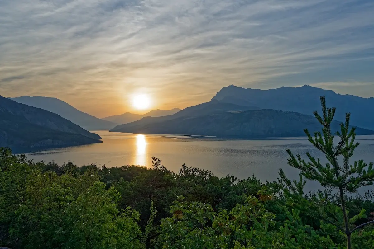
to then cycle along the Route Napoléon over small passes, not mentioned here, to Corps and then on over the
Col de Parquetout (1437 m)
and the
Col d'Ornon (1371 m)
to Bourg-d'Oisans, the starting point for Alpe-d'Huez.
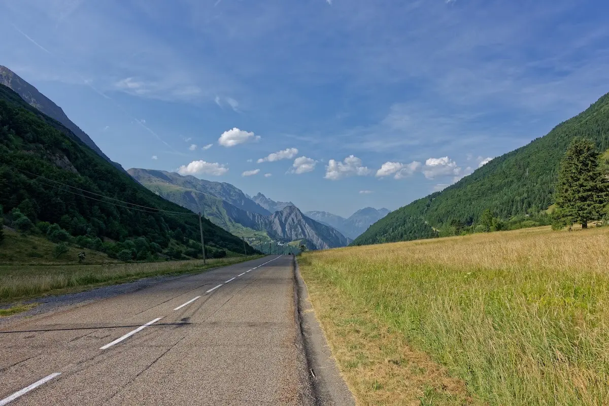
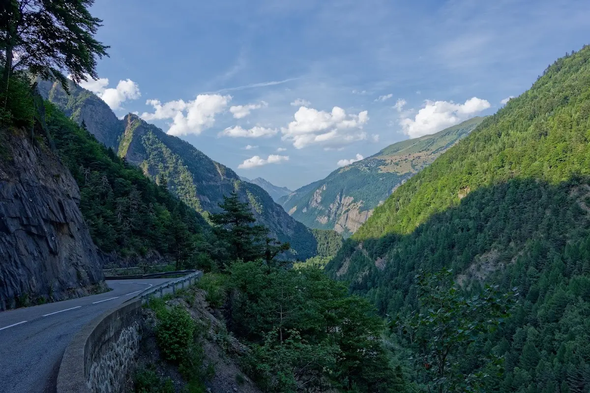
Alpe d'Huez (1860 m)
From Le Bourg-d’Oisans 21 hairpin bends lead to L’Alpe d’Huez; besides the Col du Galibier, the Col du Tourmalet and Mont Ventoux, this climb is one of the most famous stages of the Tour de France. Since 1952 there have been repeated summit finishes of the Tour de France there; in 1952 it was won by Fausto Coppi.
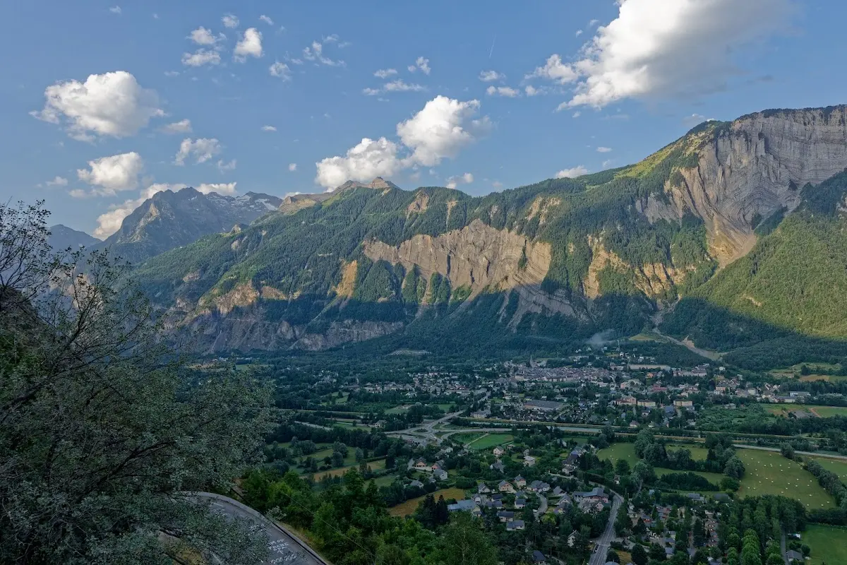
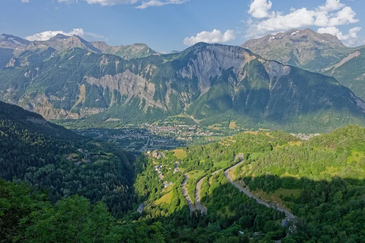
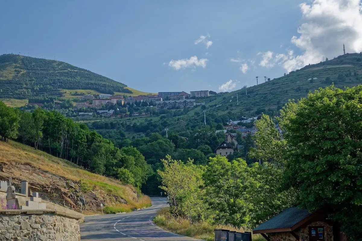
A high-altitude road over
Villard-Reculas (1535 m)
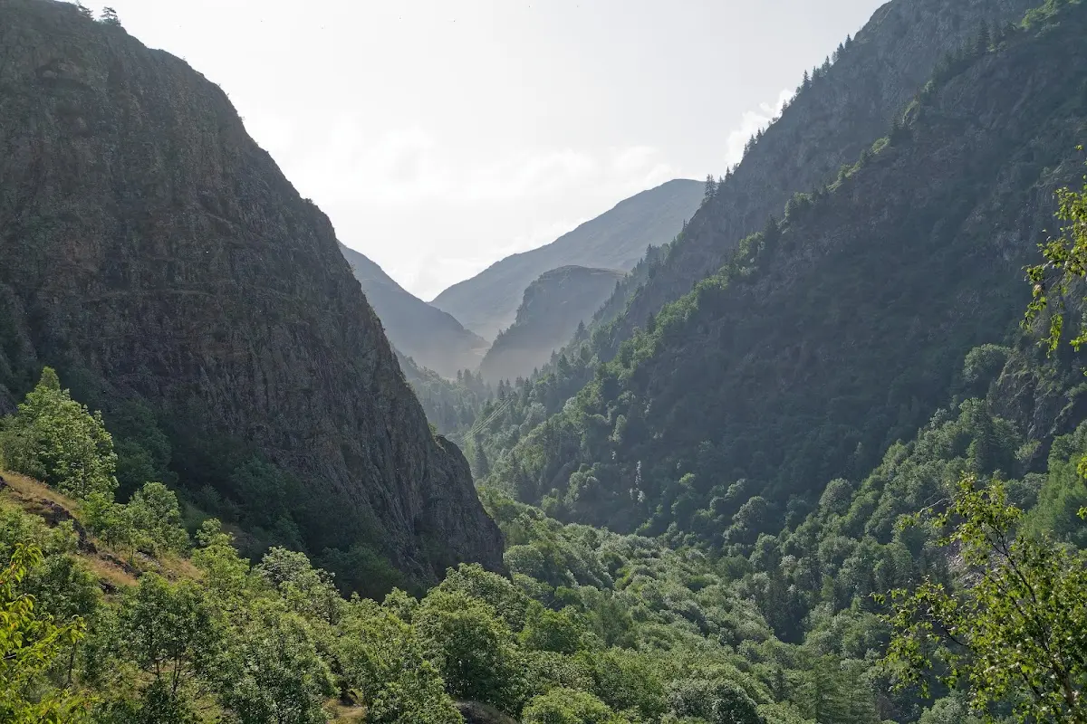
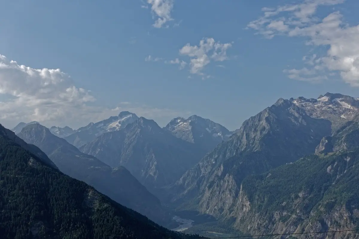
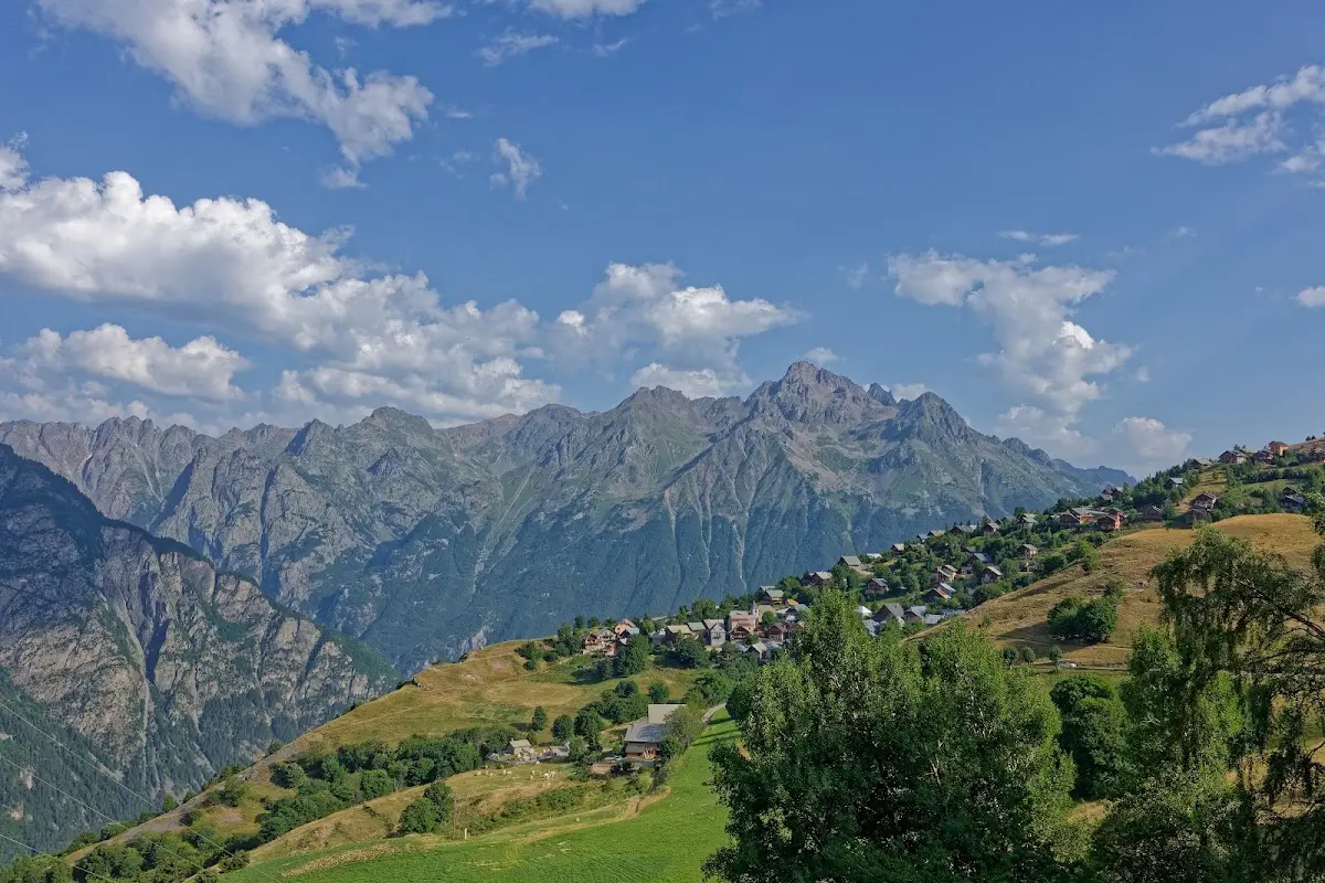
took me to the passes
Col du Glandon (1924 m)
and the
Col de la Croix de Fer (2067 m)
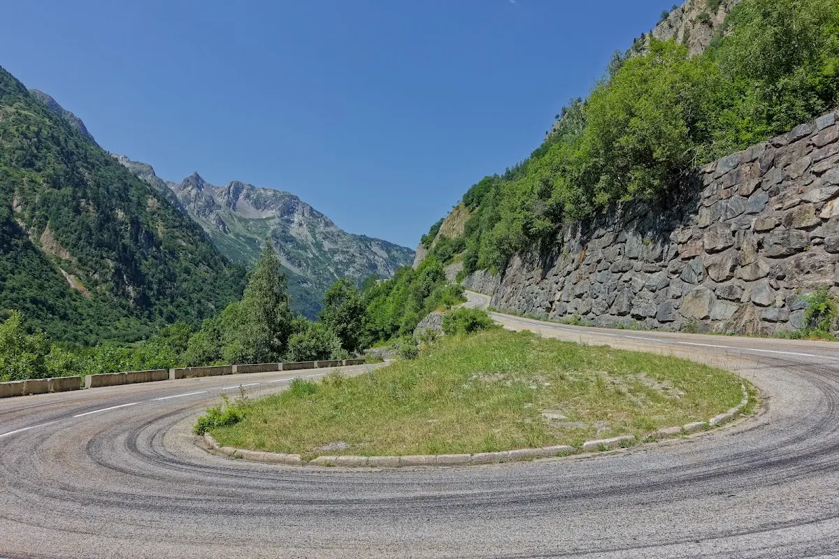
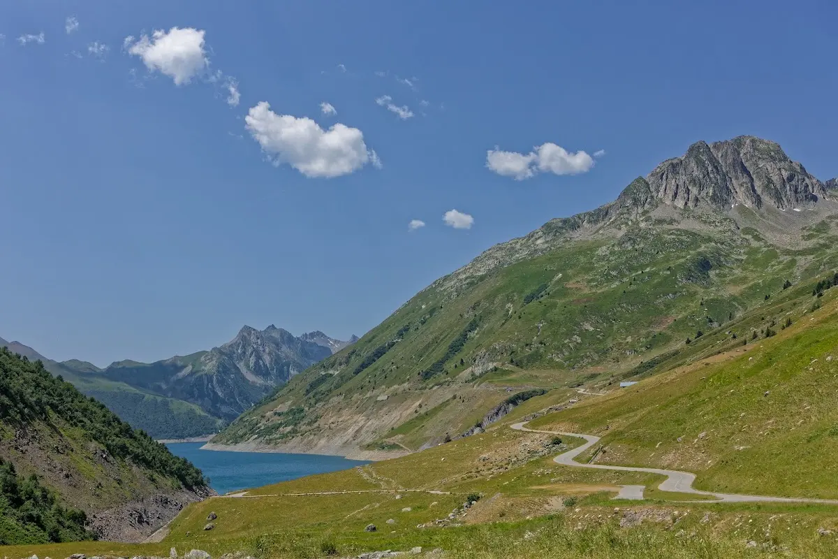
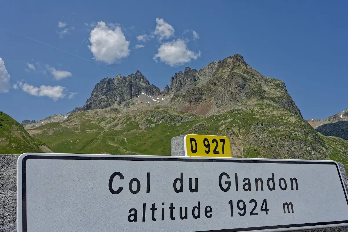
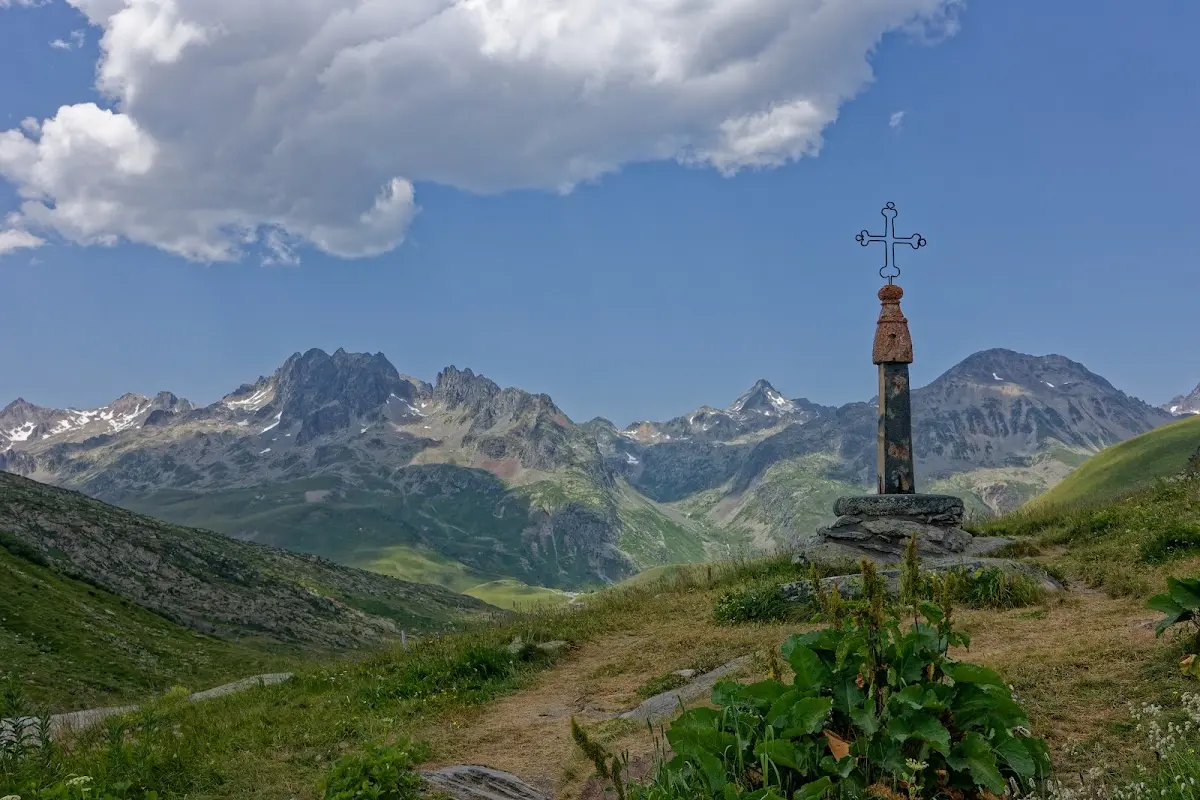
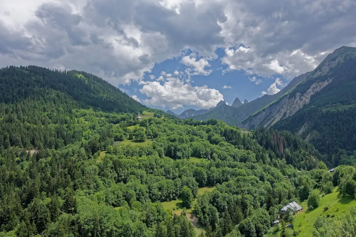
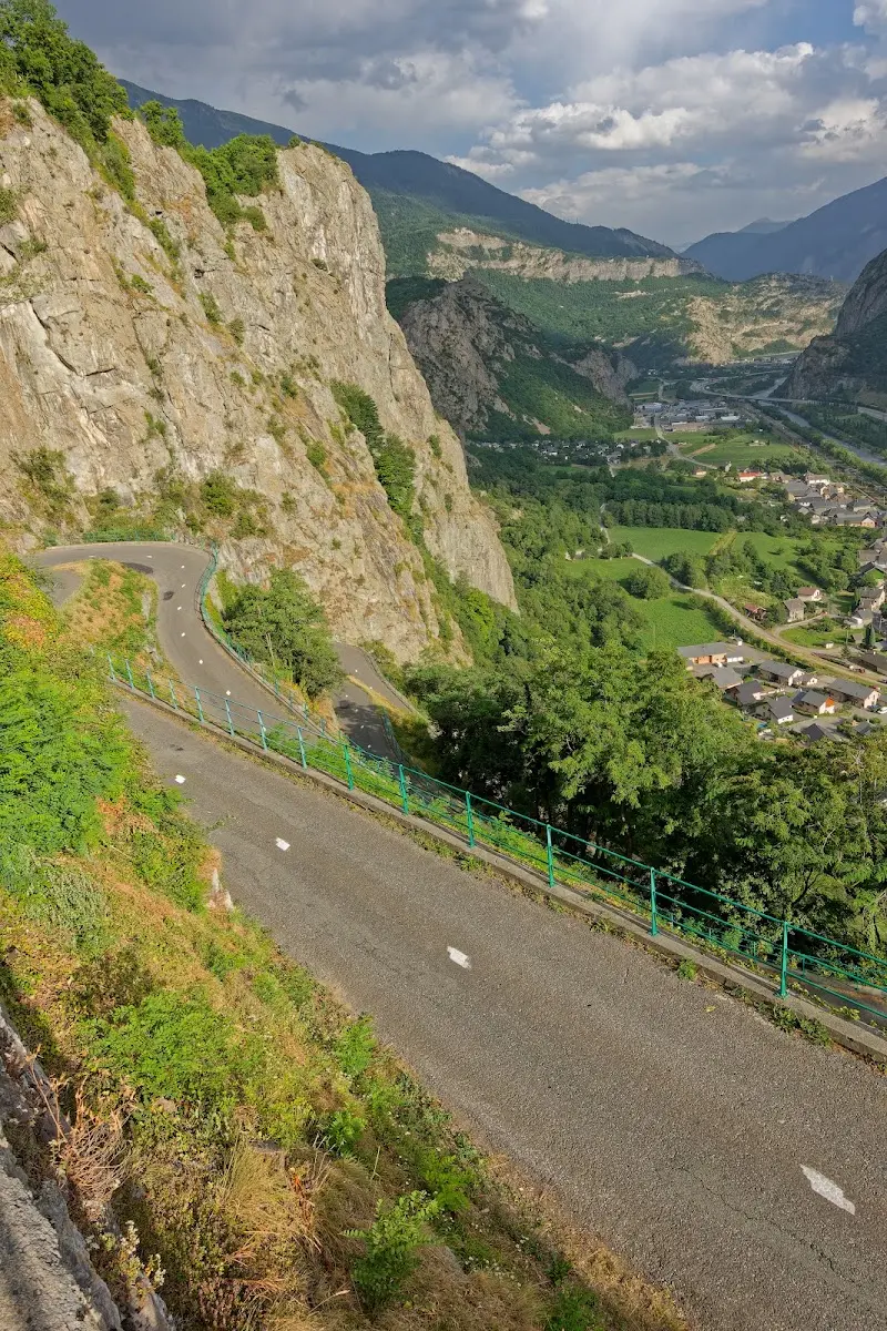
and in the evening, from the campground, I also had a look at the hairpins of Montvernier.
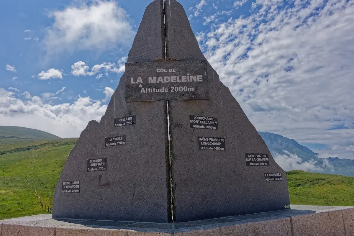
Col de la Madeleine (1993 m)
is a “Hors Catégorie” climb in the Tour de France. Unlike the day before (Alpe d'Huez and then Croix de Fer) I skipped a preliminary pass in the morning, e.g. Montvernier and Chaussy, as it also got very hot on the passes at midday.
Via Albertville and Ugine I actually wanted to take the D1212 to Megève, but as the road was closed because of a landslide, it became a few more metres of climbing through small villages like Cohennoz on the D71.
Col de Megève (1115 m)
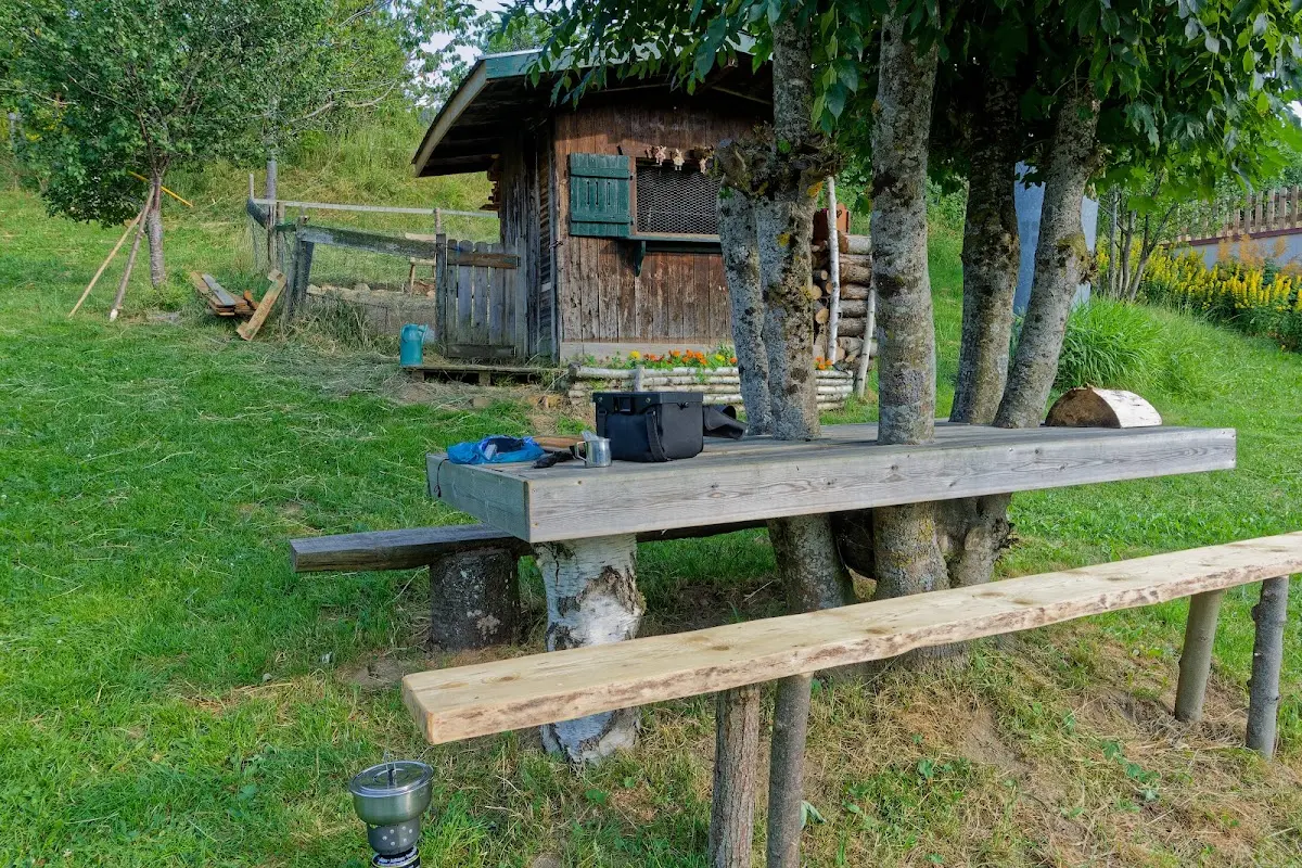
In Megève I stayed at a campground with a clever table that had been built around a tree.
Col des Montets (1461 m)
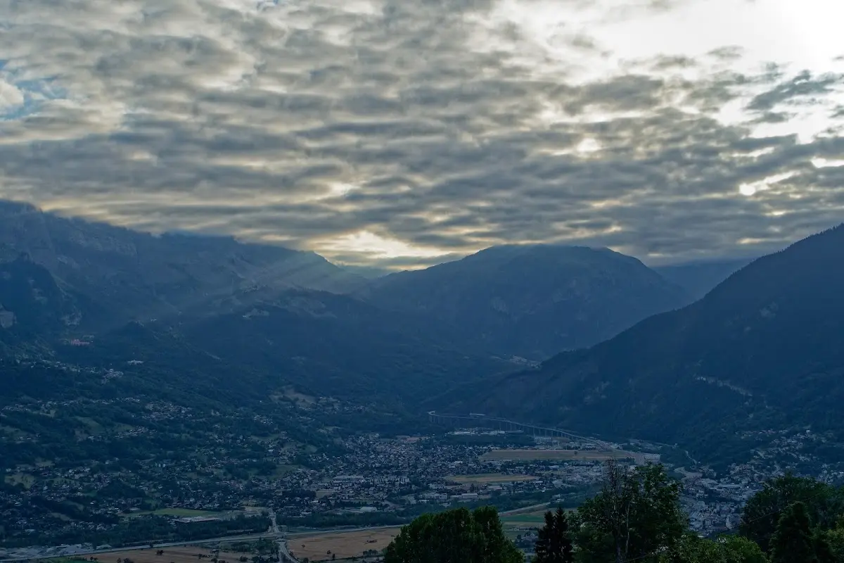
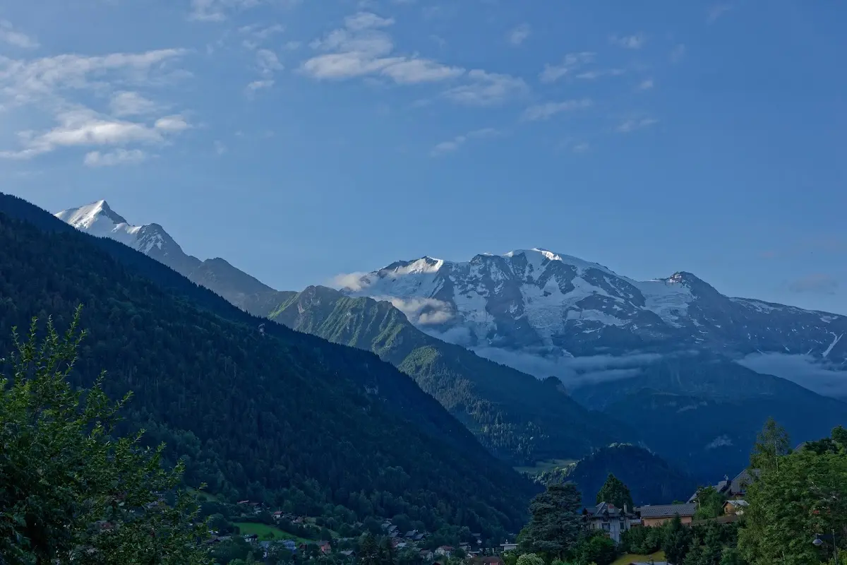
The E25 towards Chamonix is closed to cyclists; there are alternatives with more climbing via the D13 and Route de Vaudagne with views of the Mont Blanc massif.
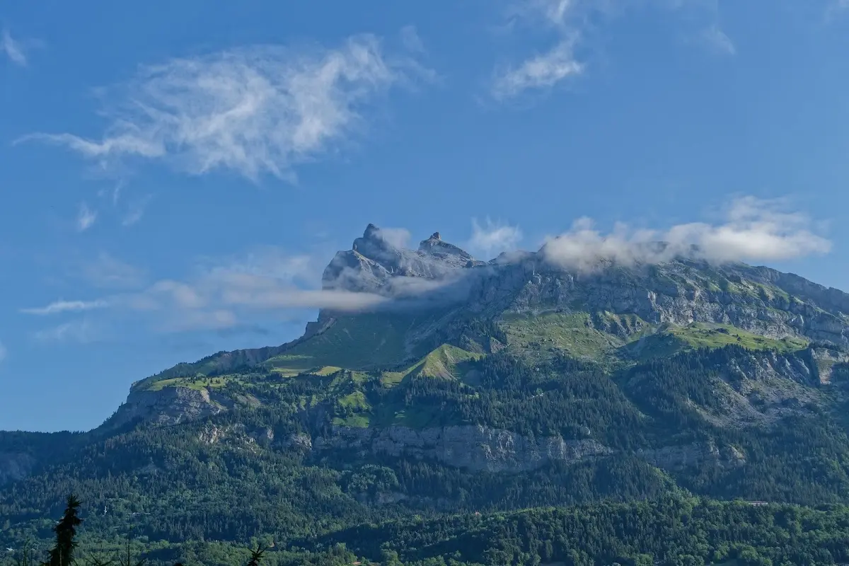
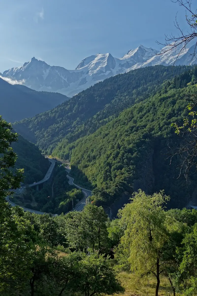
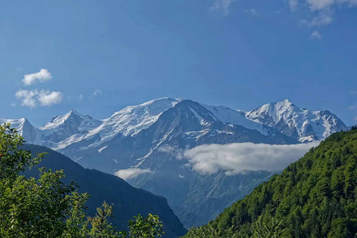
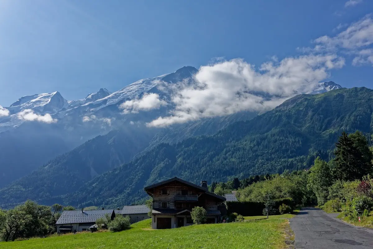
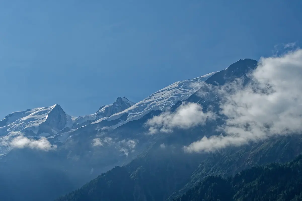
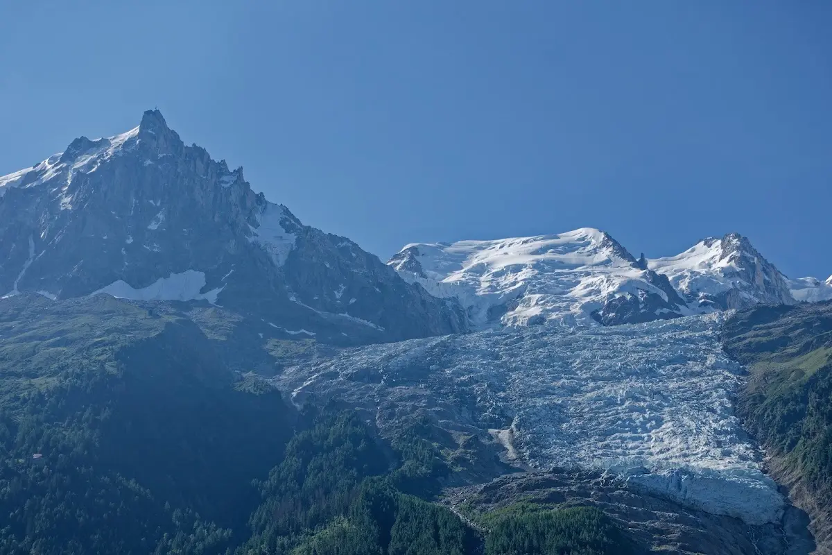
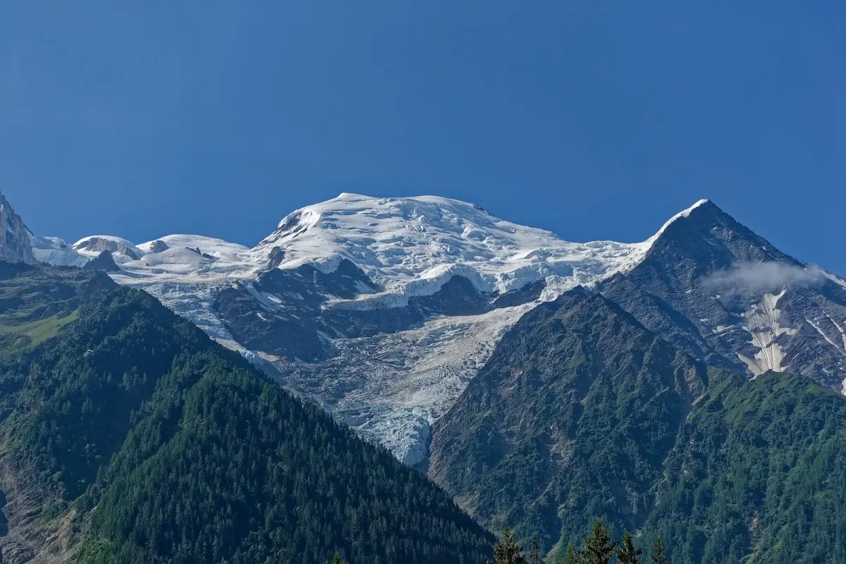
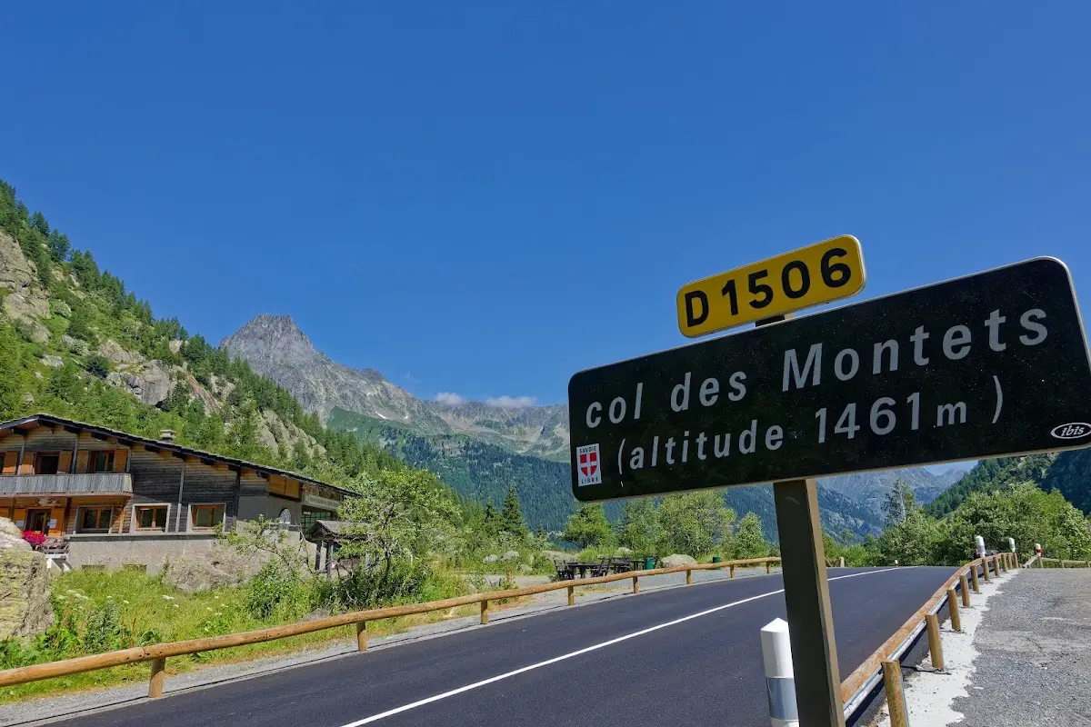
The Col des Montets is rather unspectacular, and together with the
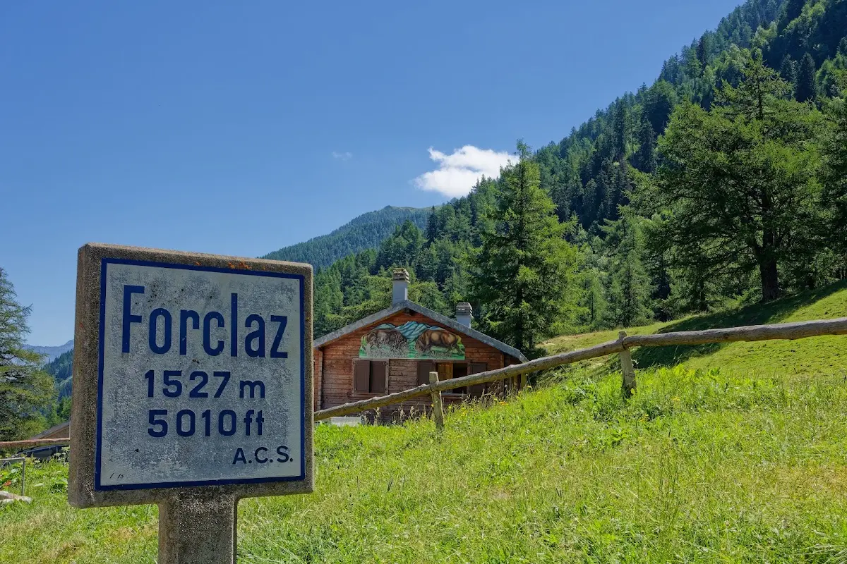
Col de la Forclaz (1526 m)
I got back to Martigny.
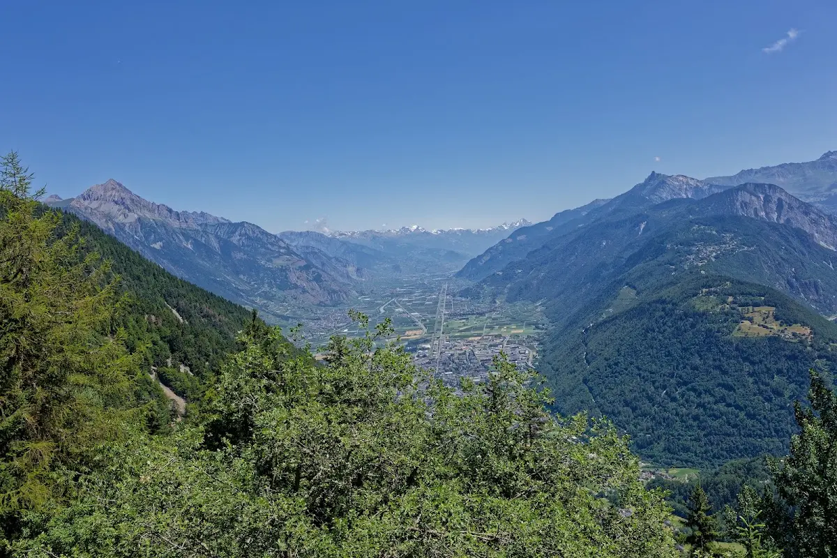
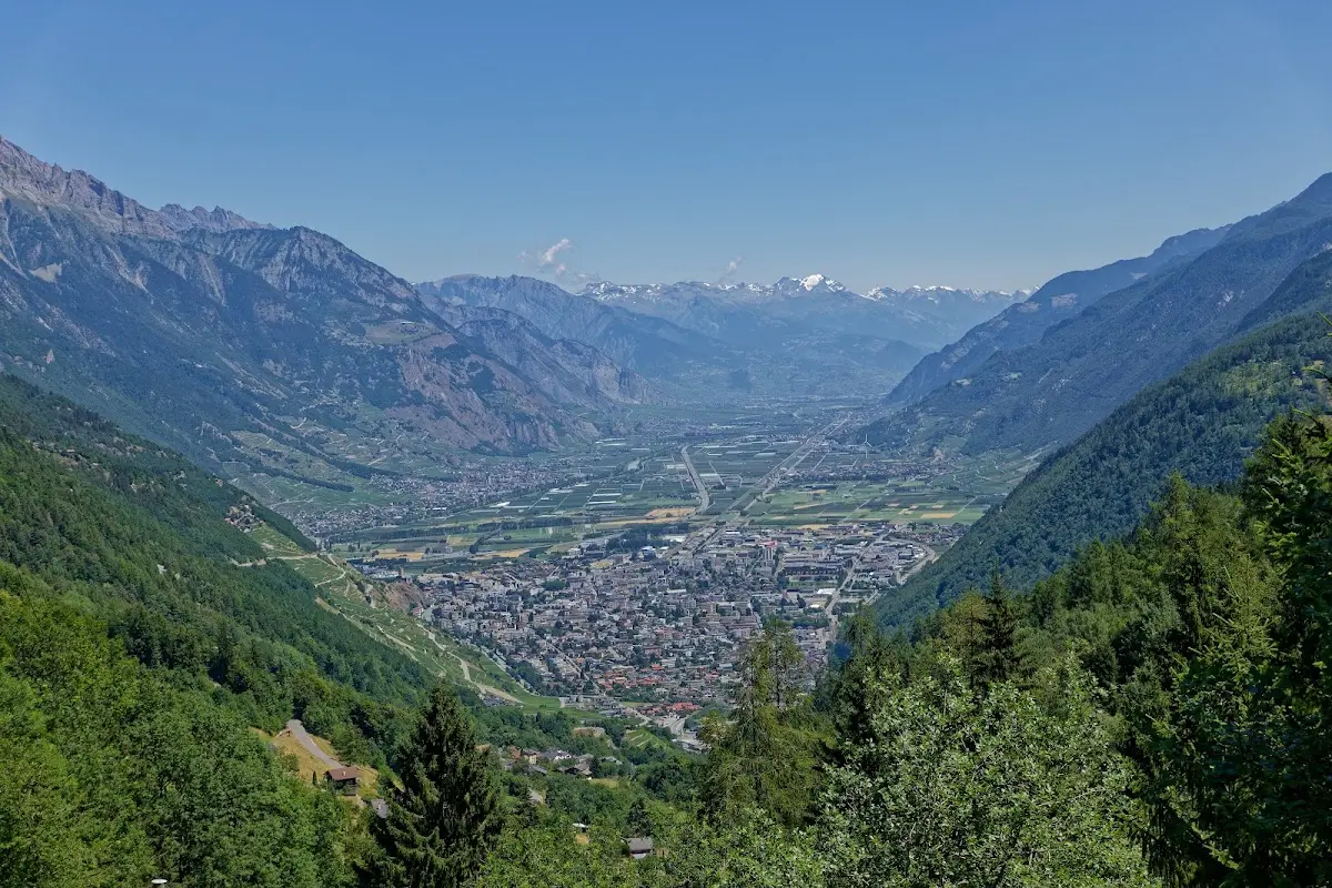
In the afternoon I took the train from there to Ulrichen, at the foot of the
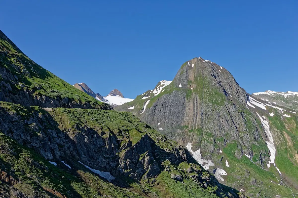
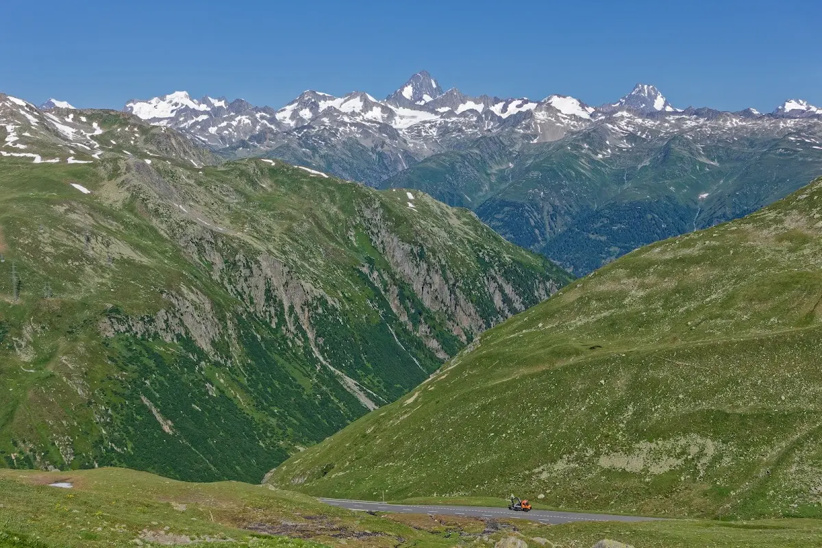
Nufenen Pass (2478 m)
the highest pass entirely within Switzerland, which was built only 30 years ago; the descent to Airolo was quickly done.
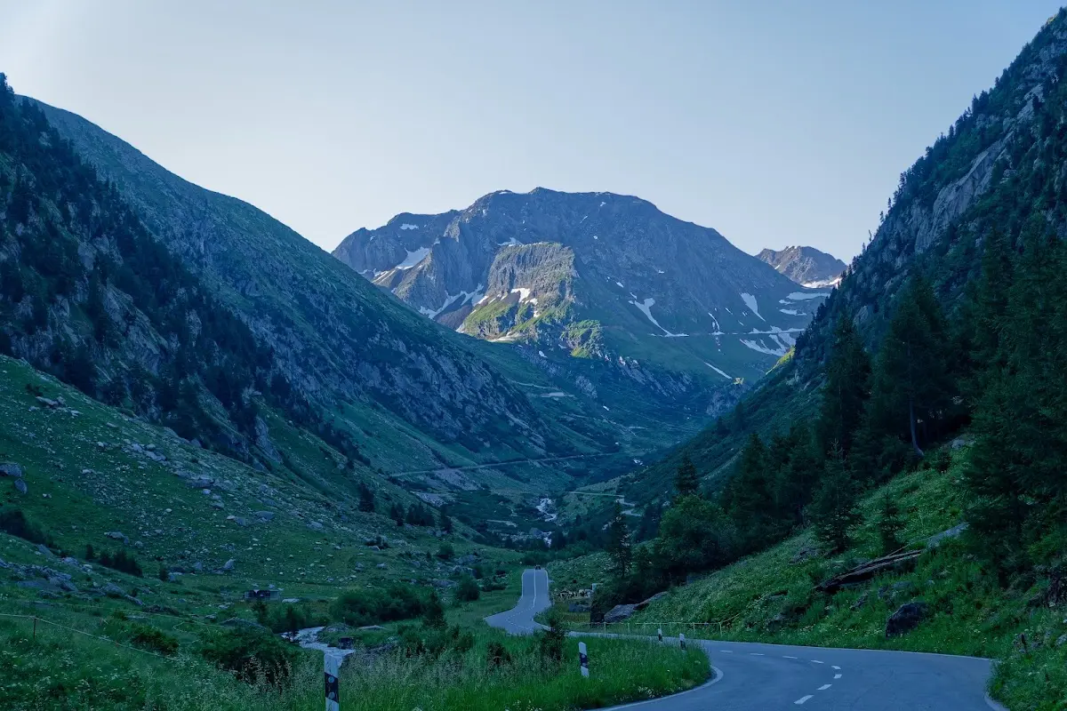
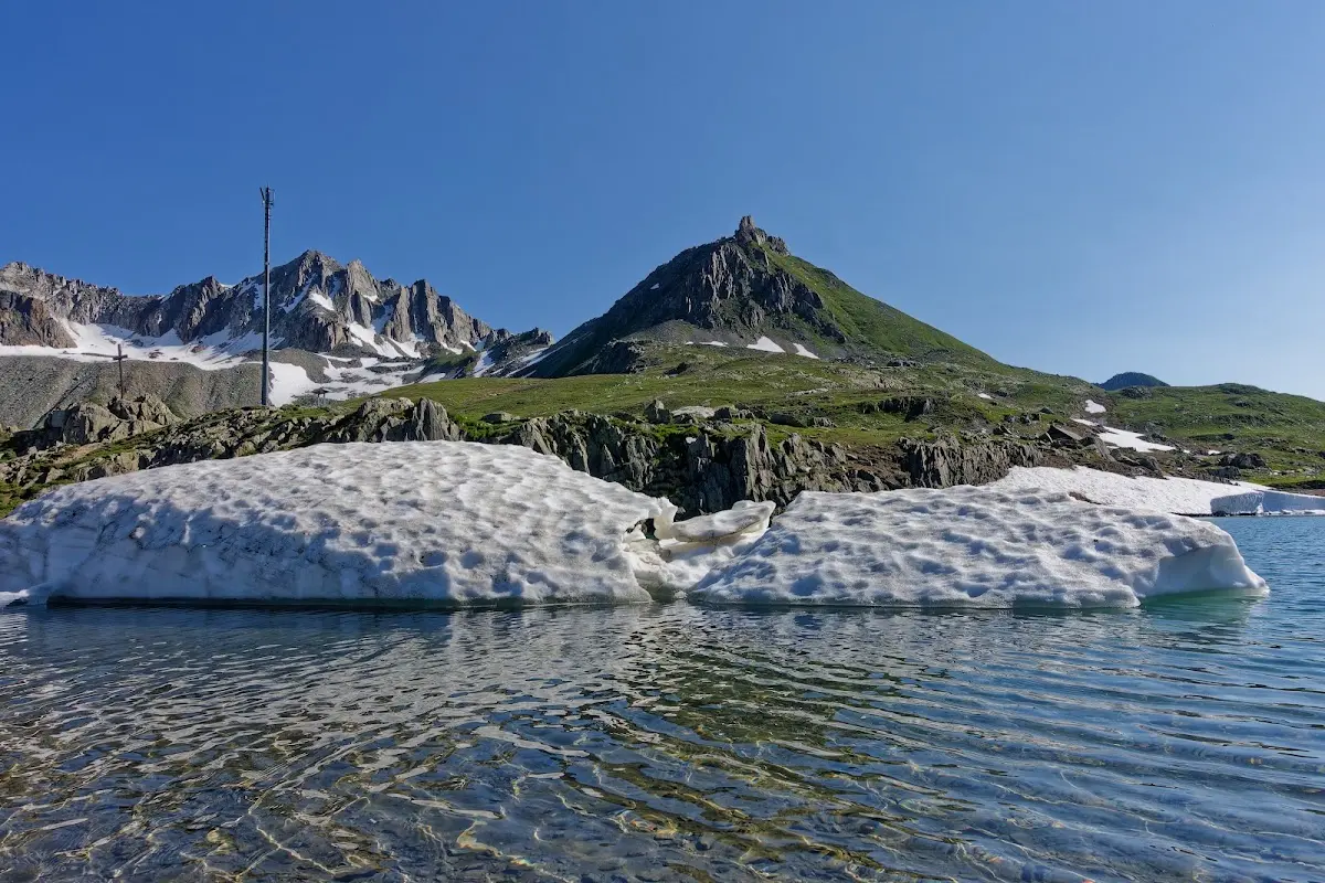
St. Gotthard Pass (2091 m)
The Gotthard has always been one of the most important north-south connections across the Alps; currently 4 routes lead over and under it: the railway, the motorway tunnel, the federal road and the old post road. The cobblestones on the old road are famous.
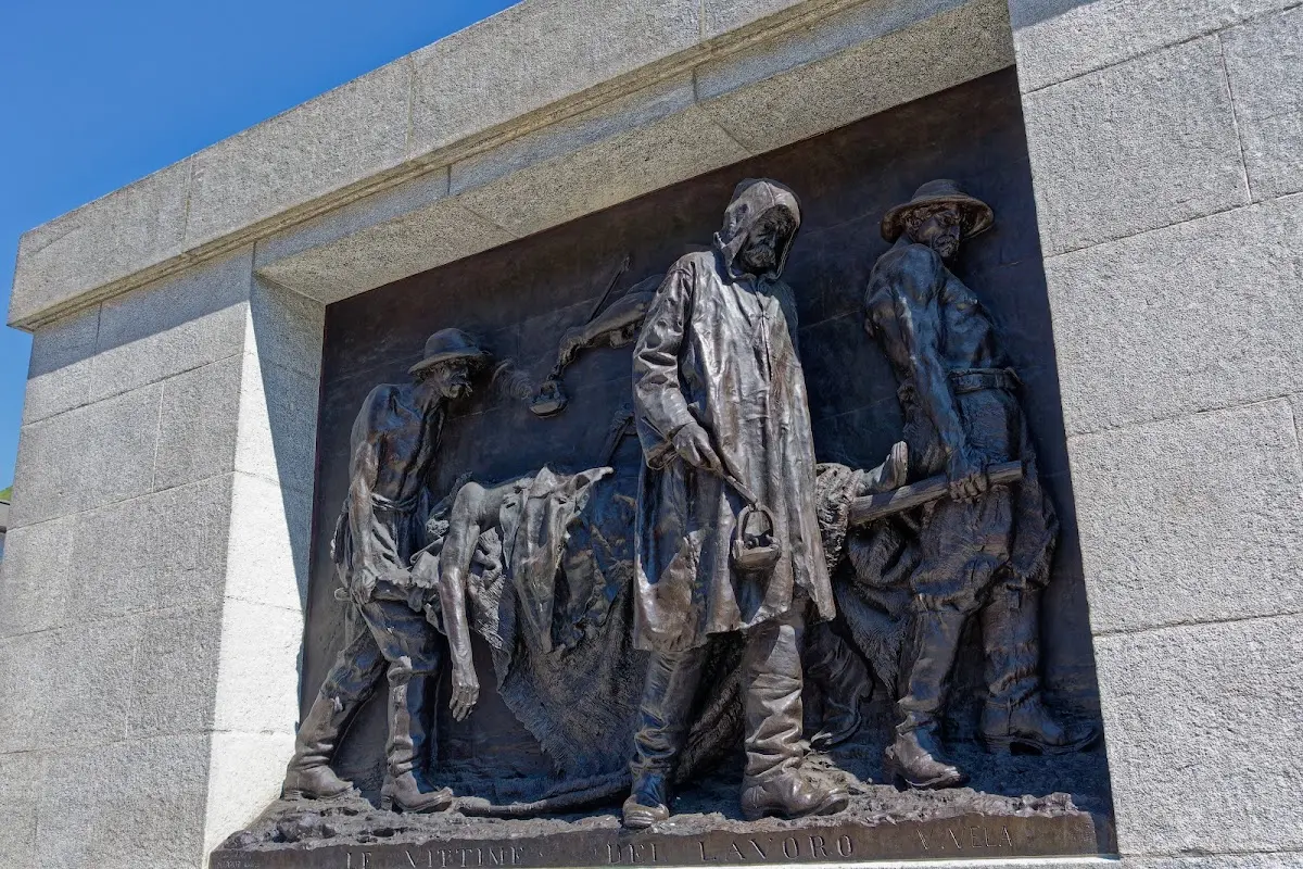
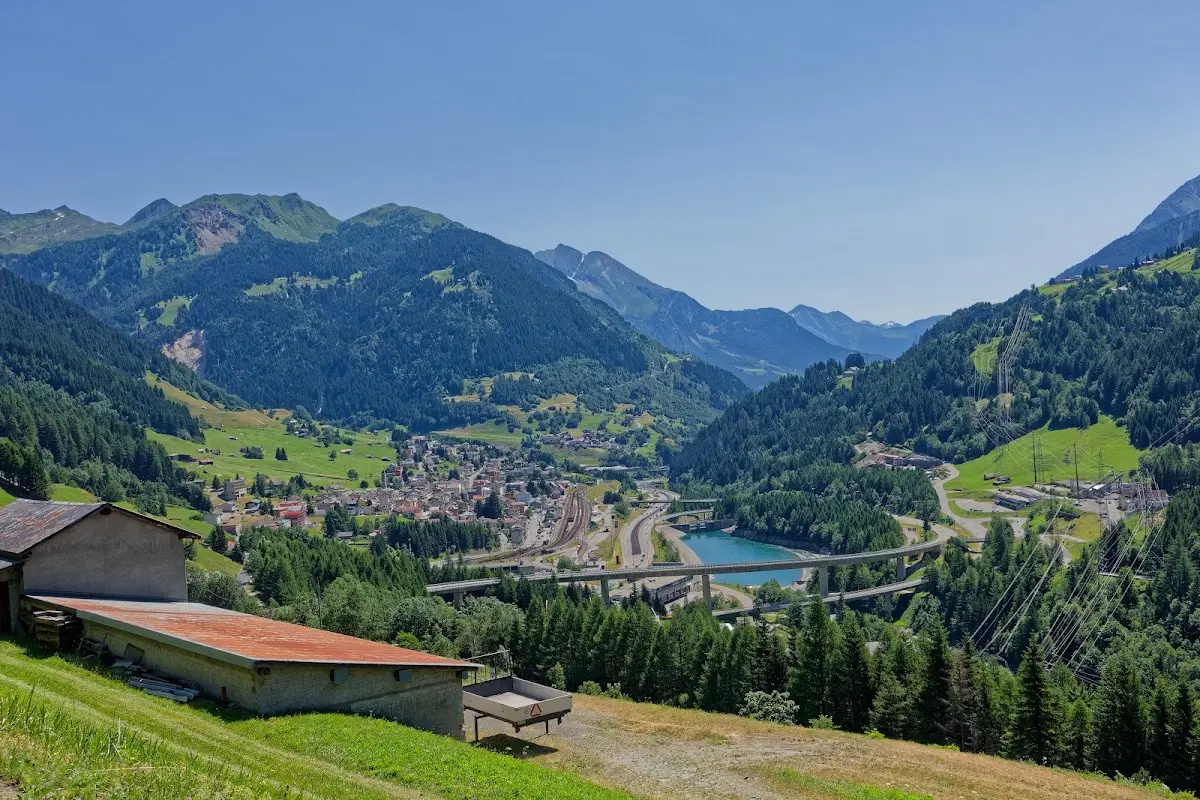
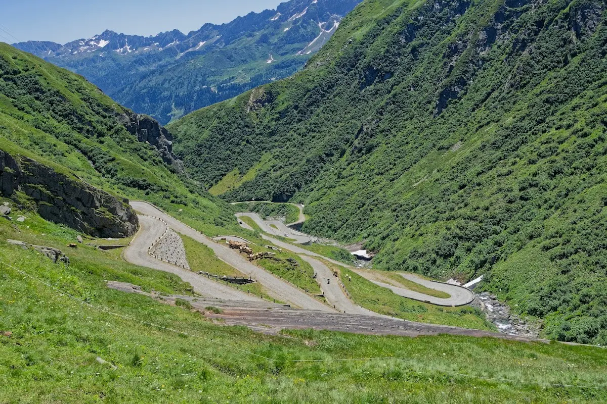
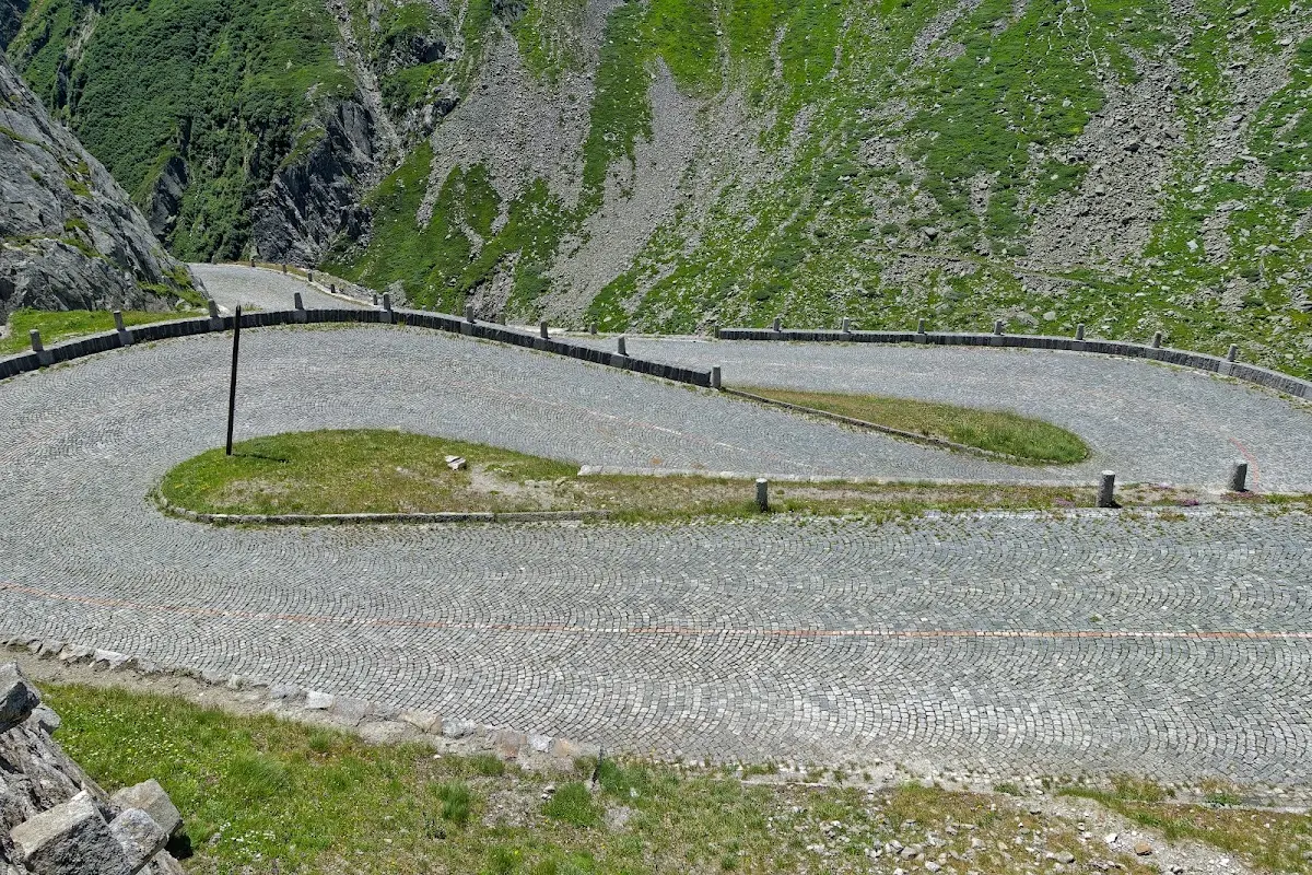
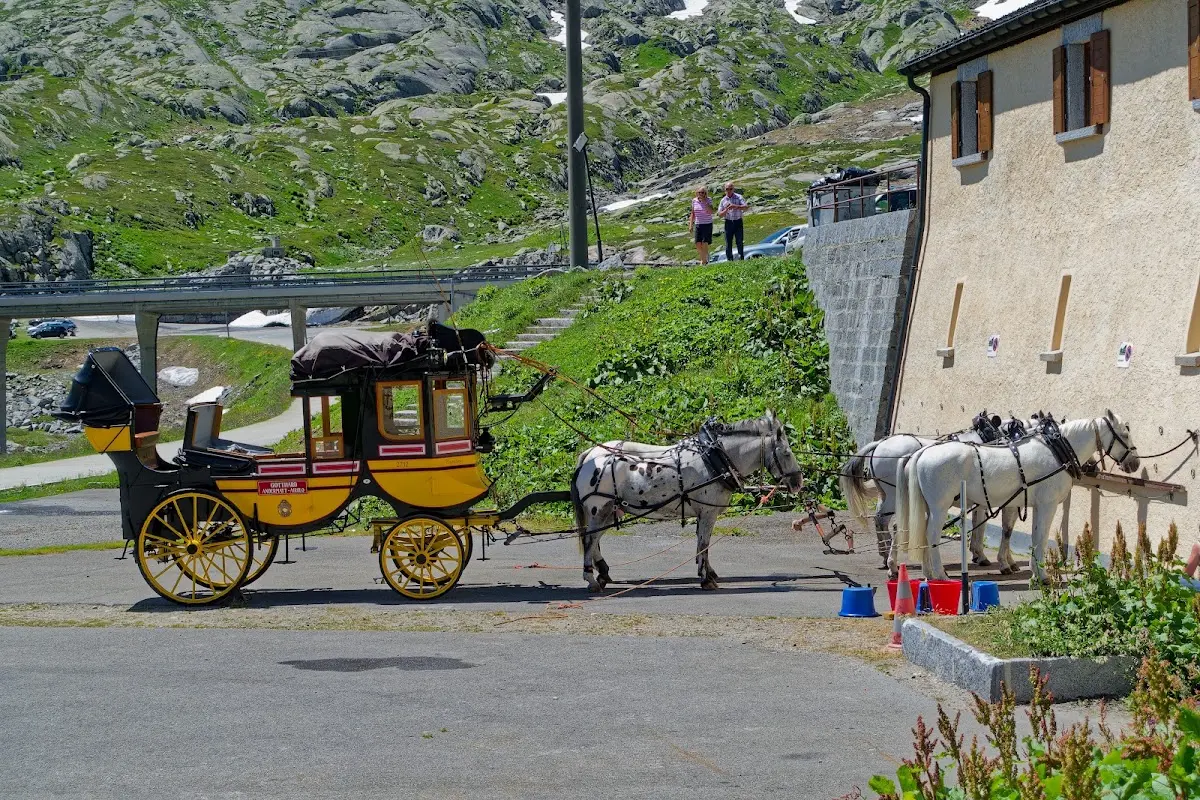
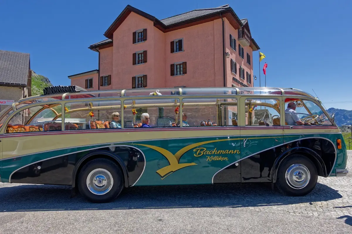
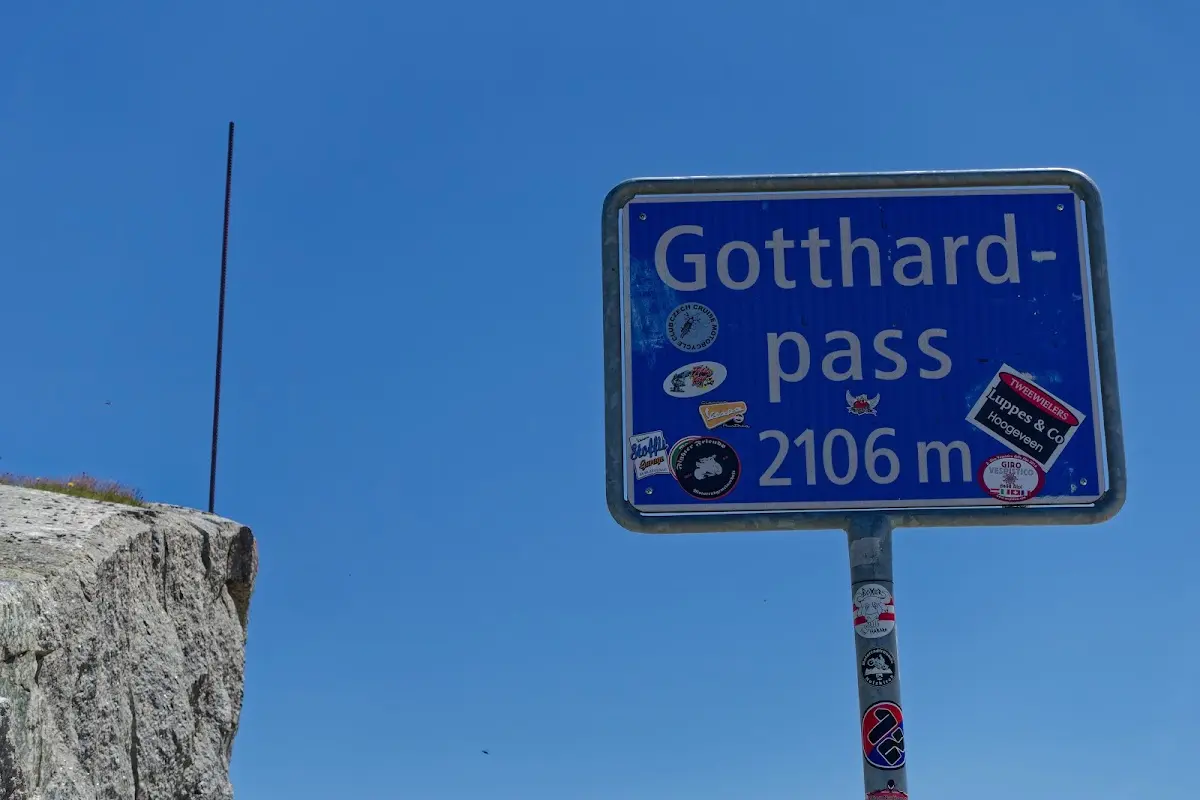
The descent to Andermatt was busy and noticeably shorter, and as it was still early in the day I rode the
Oberalp Pass (2046 m)
on to Disentis.
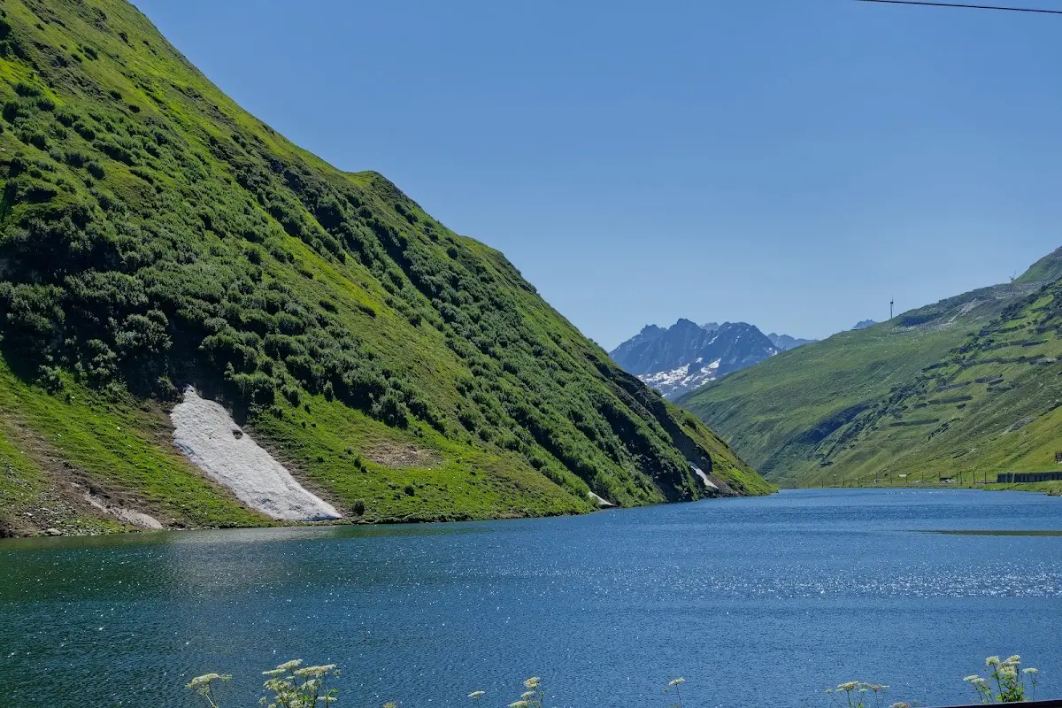
Passo del Lucomagno (1972 m)
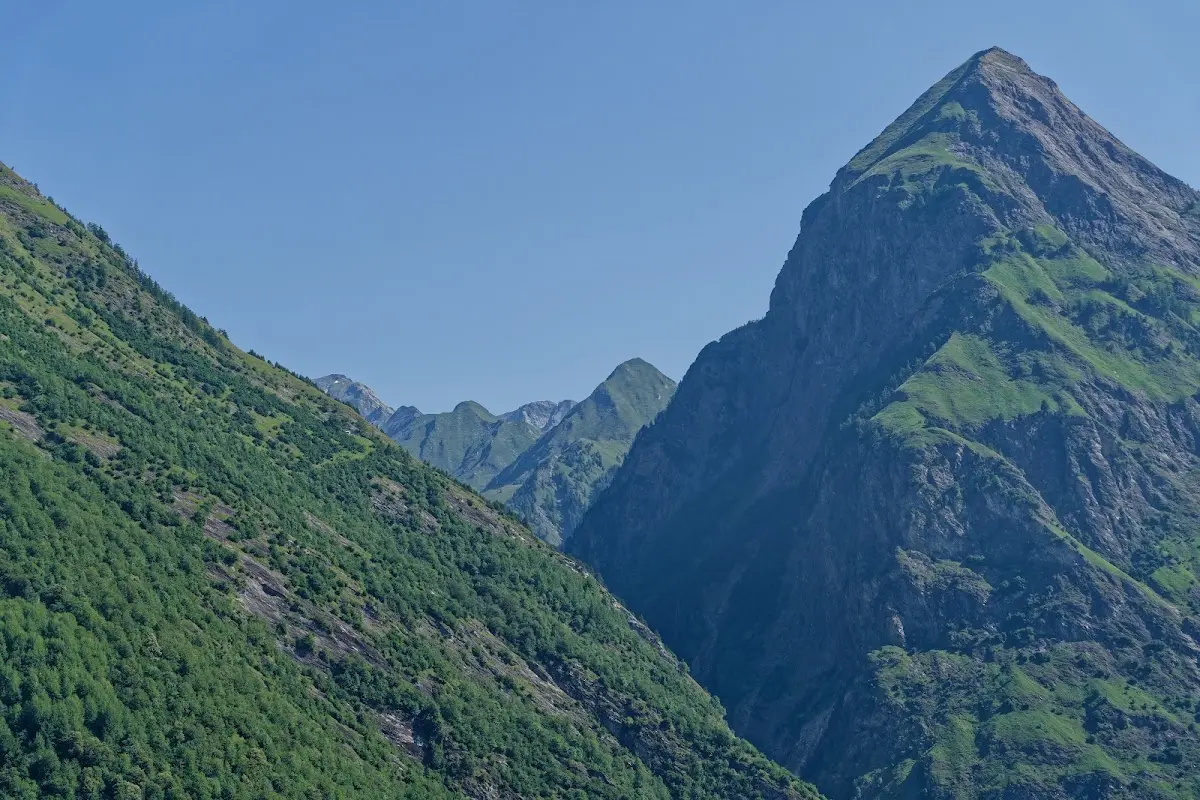
The next morning I first rode over the Lukmanier Pass and through a long valley to Bellinzona
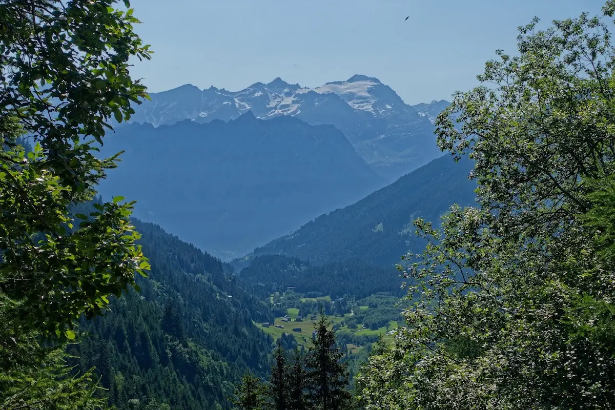
and then over the
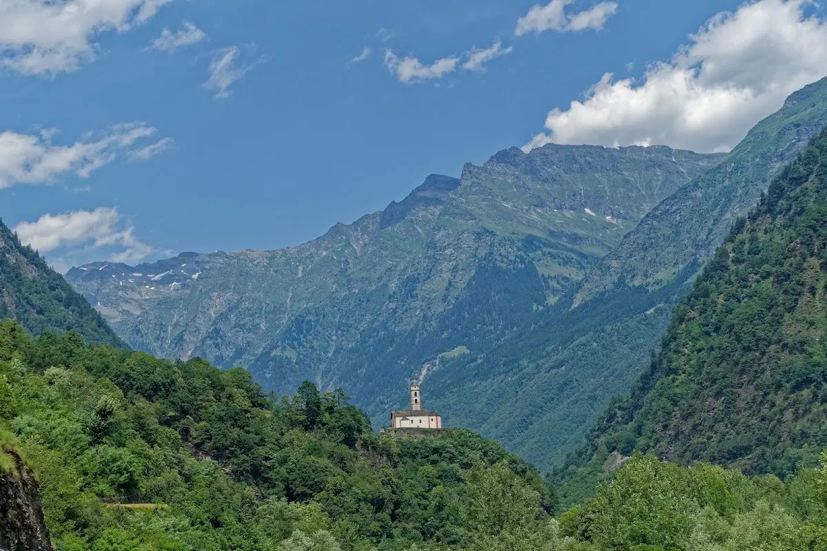
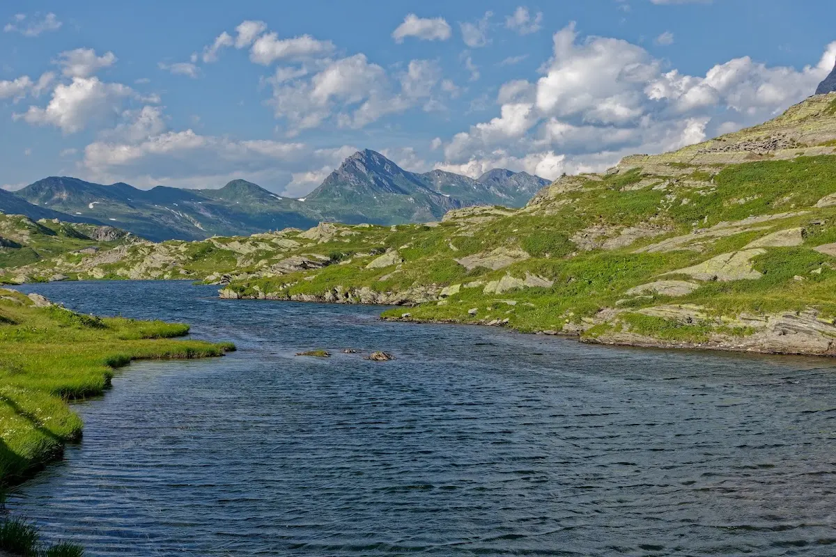
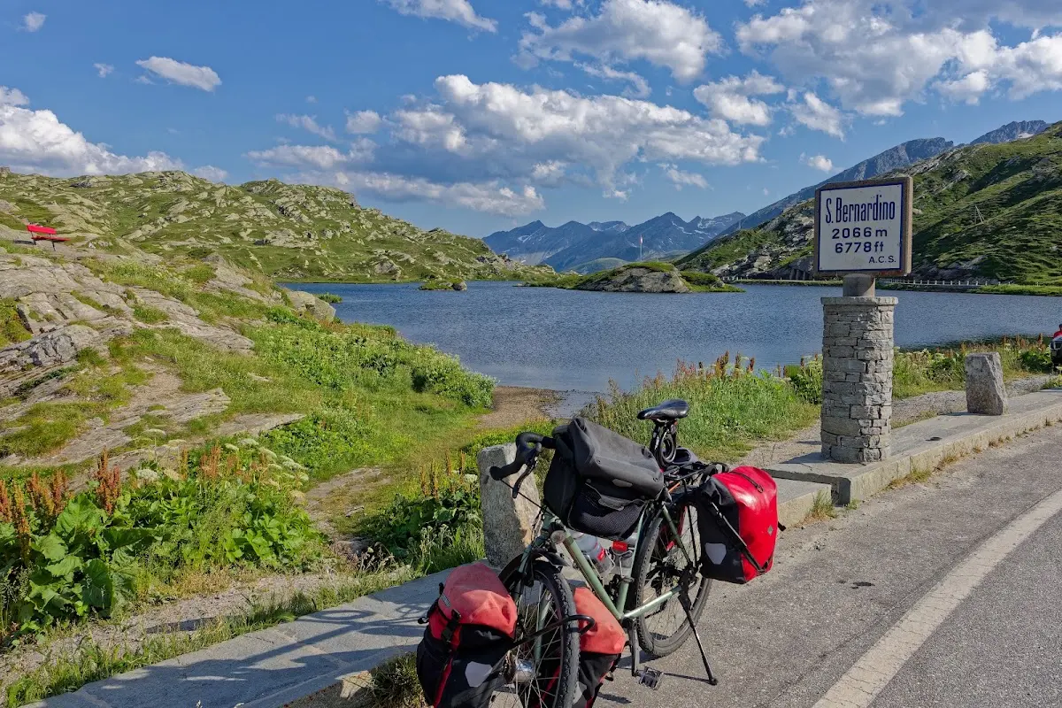
San Bernardino Pass (2065 m)
which connects the Misox with the Hinterrhein valley, on the cantonal road to Splügen. The motorway running in parallel fortunately takes most of the traffic.
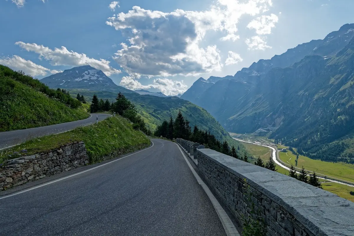
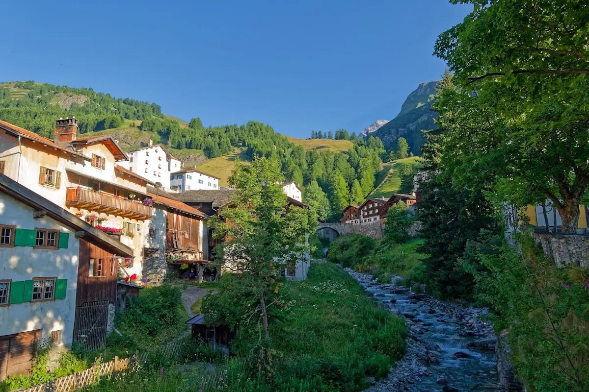
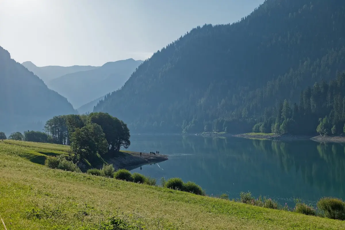
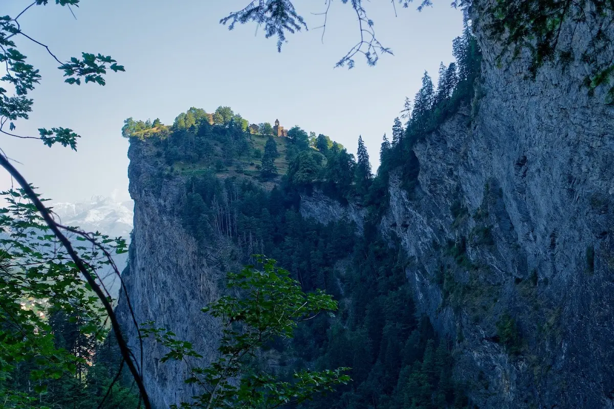
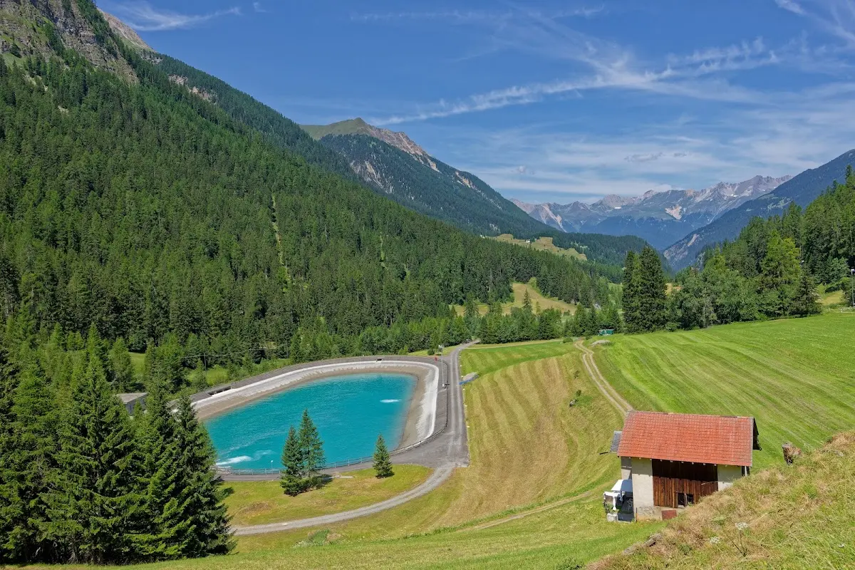
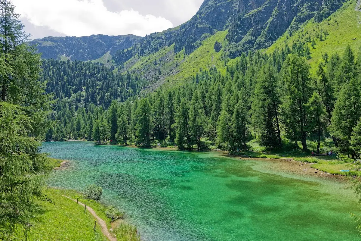
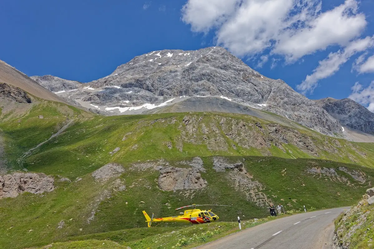
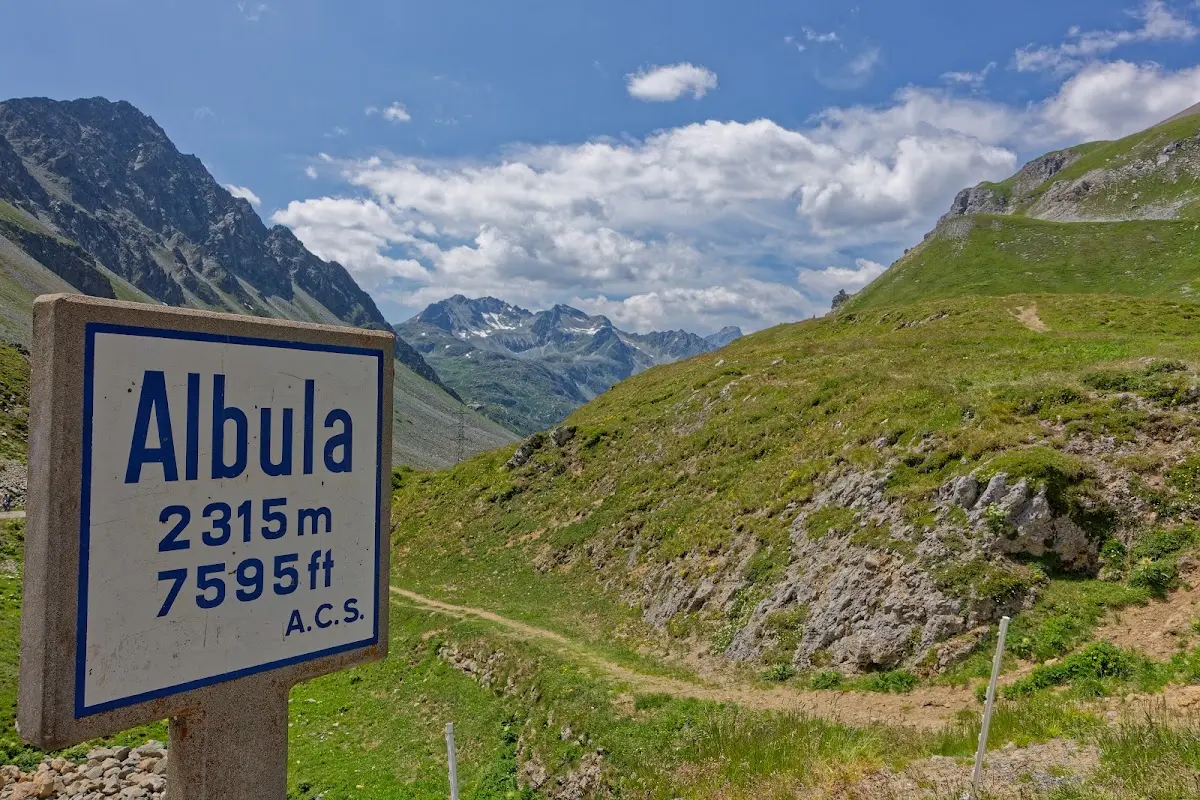
Albula Pass (2315 m)
Together with 1500 participants of the Engadin Radmarathon I rode the Albula Pass from Thusis in the Hinterrhein valley to La Punt in the Engadine.
and on over the
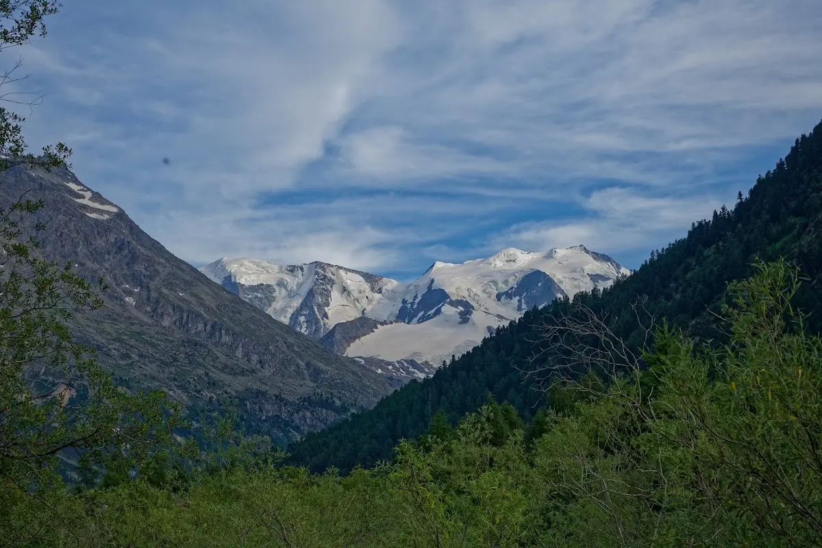
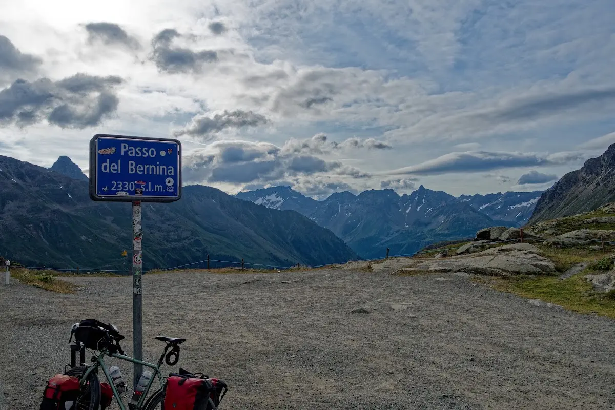
Bernina Pass (2330 m)
and the
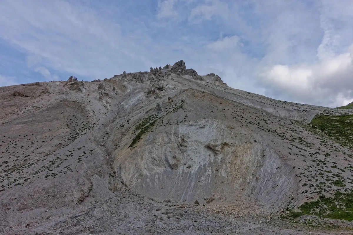
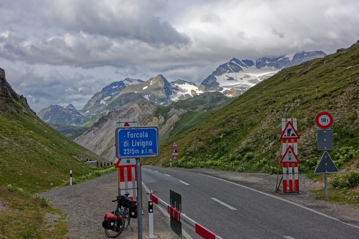
Forcola di Livigno (2315 m)
with a shuttle bus through the Munt la Schera tunnel to the
Ofen Pass (2149 m)
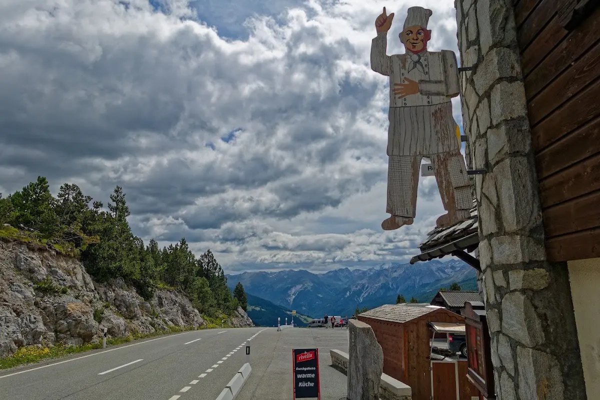
to then climb the highest Swiss pass, the
Umbrail Pass (2503 m)
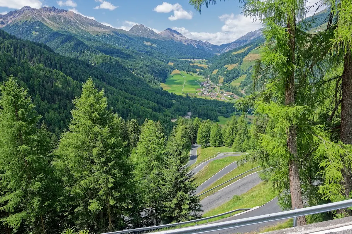
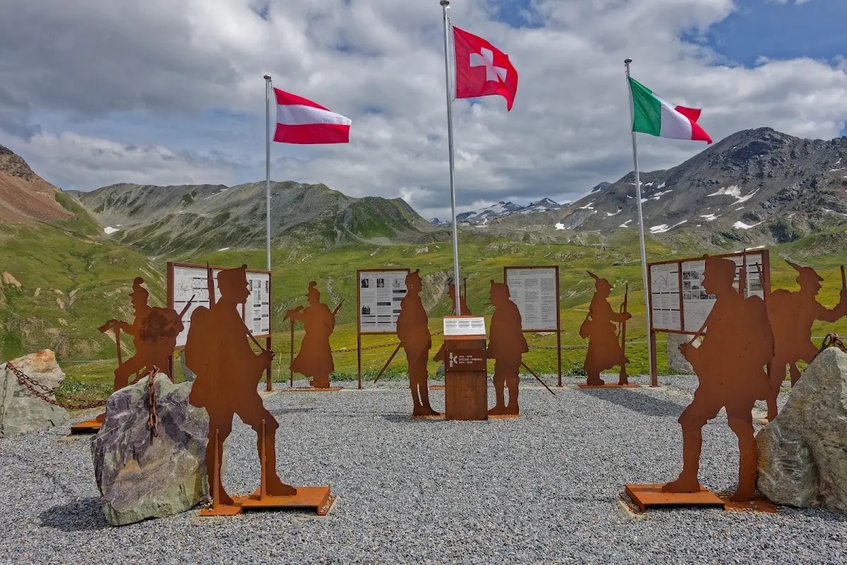
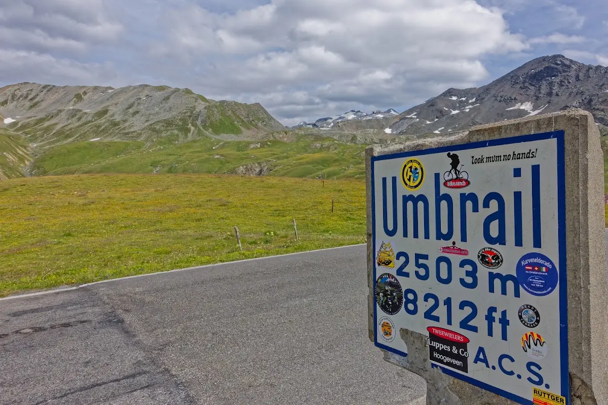
Information boards explain the events in the tri-border region of Switzerland, Austria and Italy during the First World War. From there it is just 250 m of climbing to the
Stelvio Pass (2757 m)
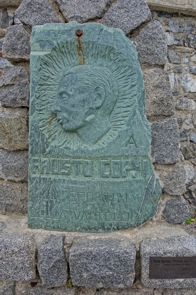
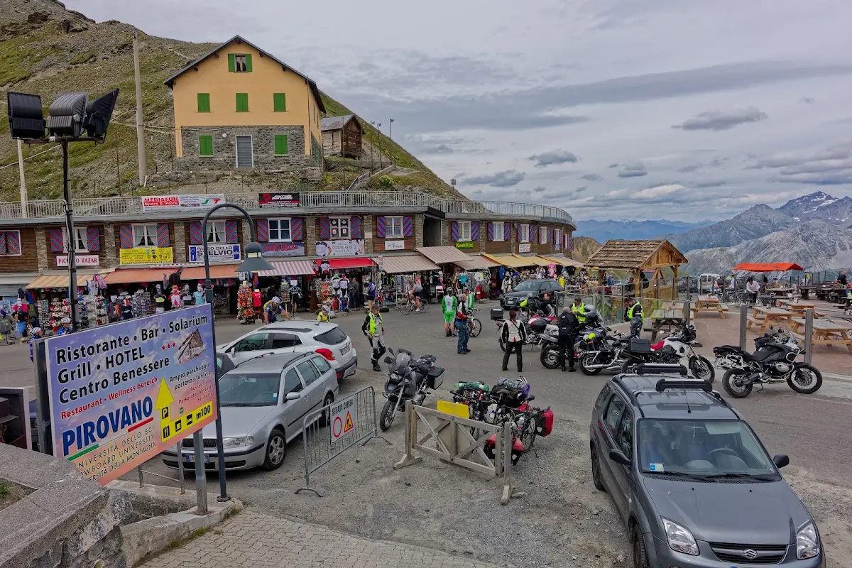
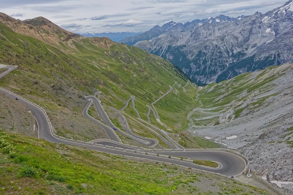
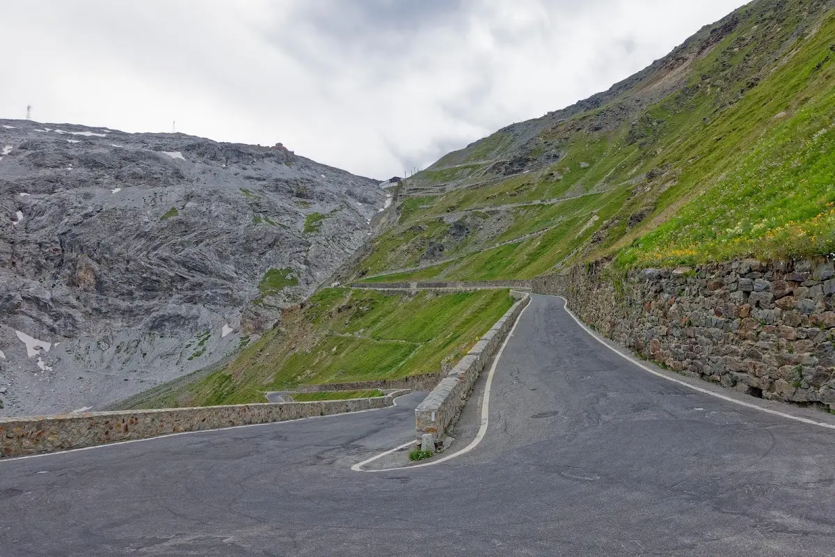
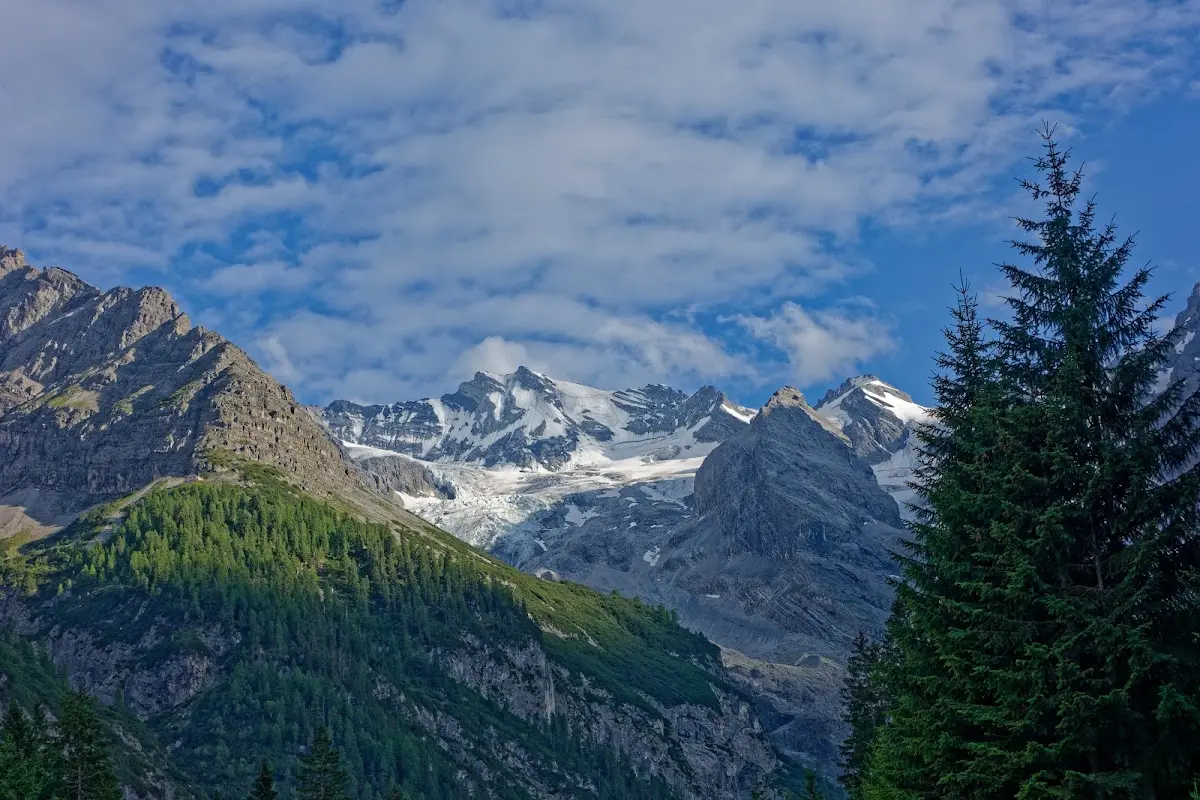
the second highest pass road in the Alps, and in 48 hairpin bends it goes down to Prad. From there you can go over the
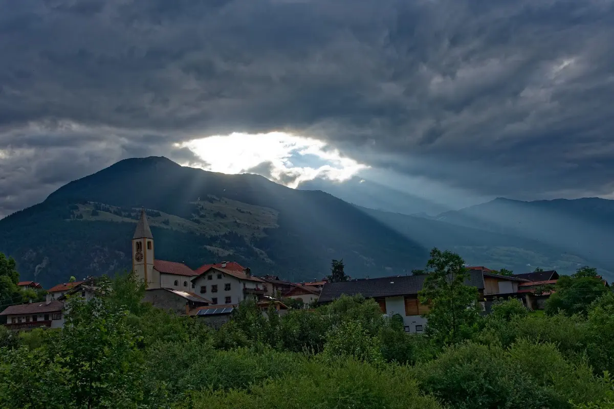
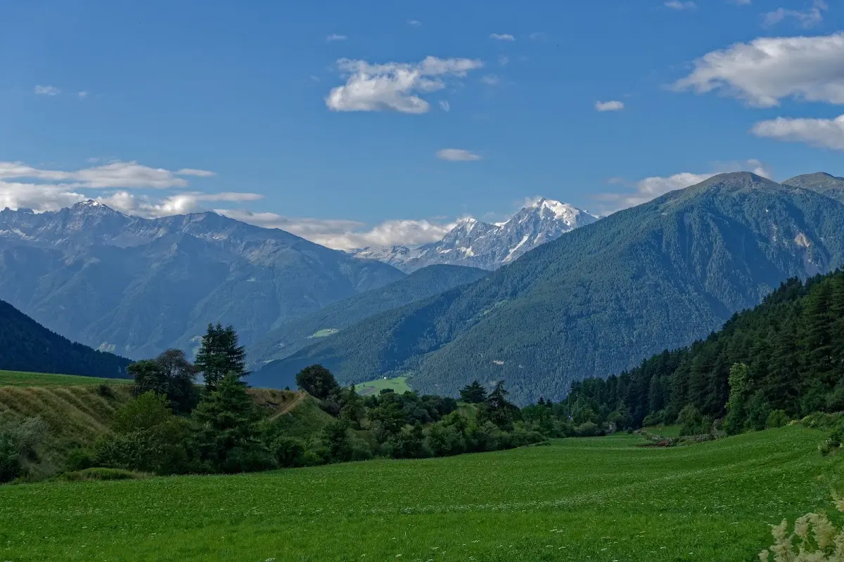
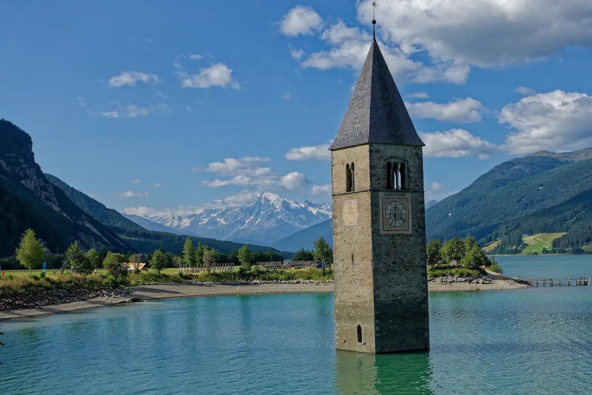
Reschen Pass (1507 m)
and the
Norbertshöhe (1461 m)
down into the Inn valley and to the station in Landeck.