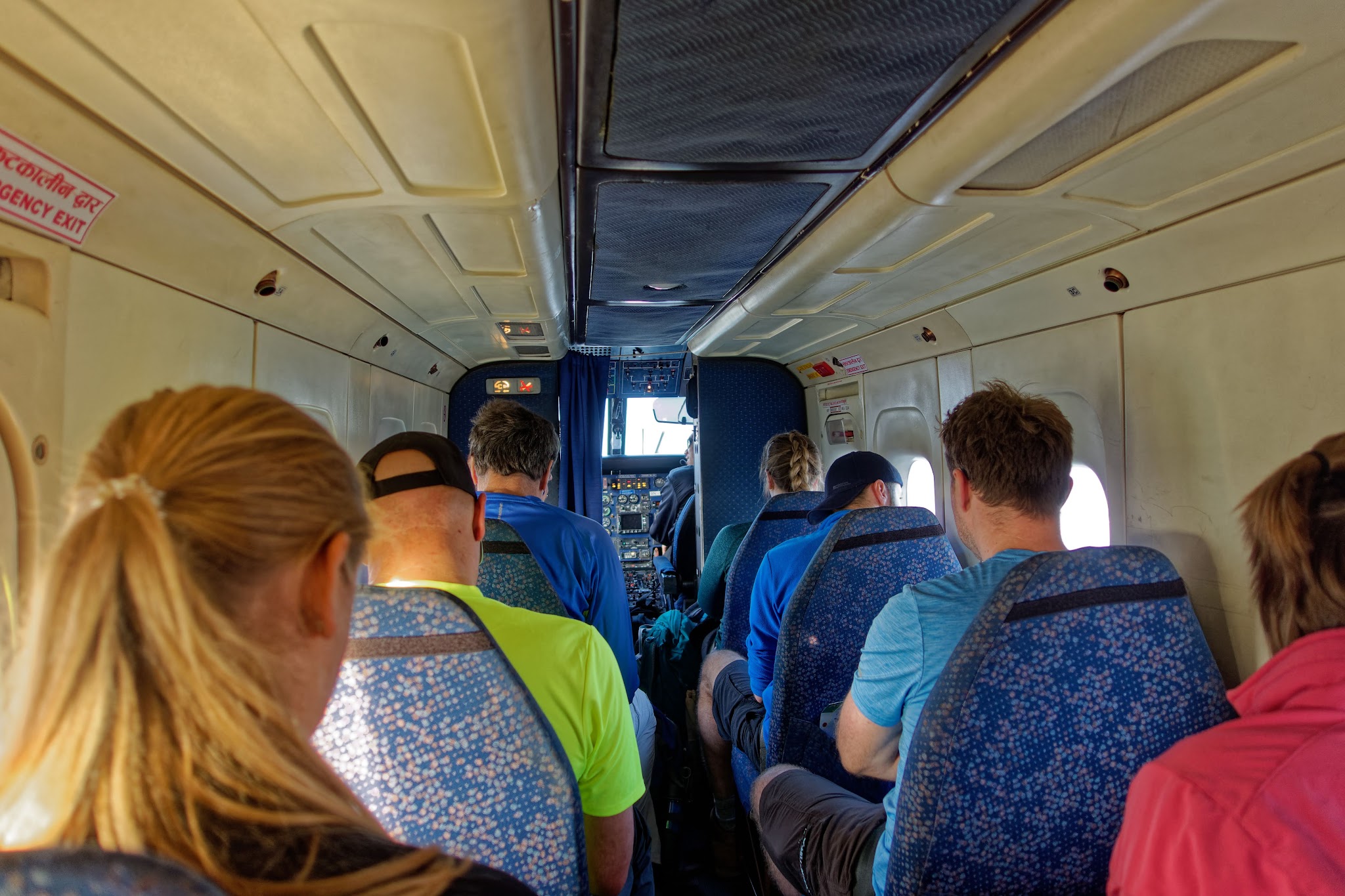
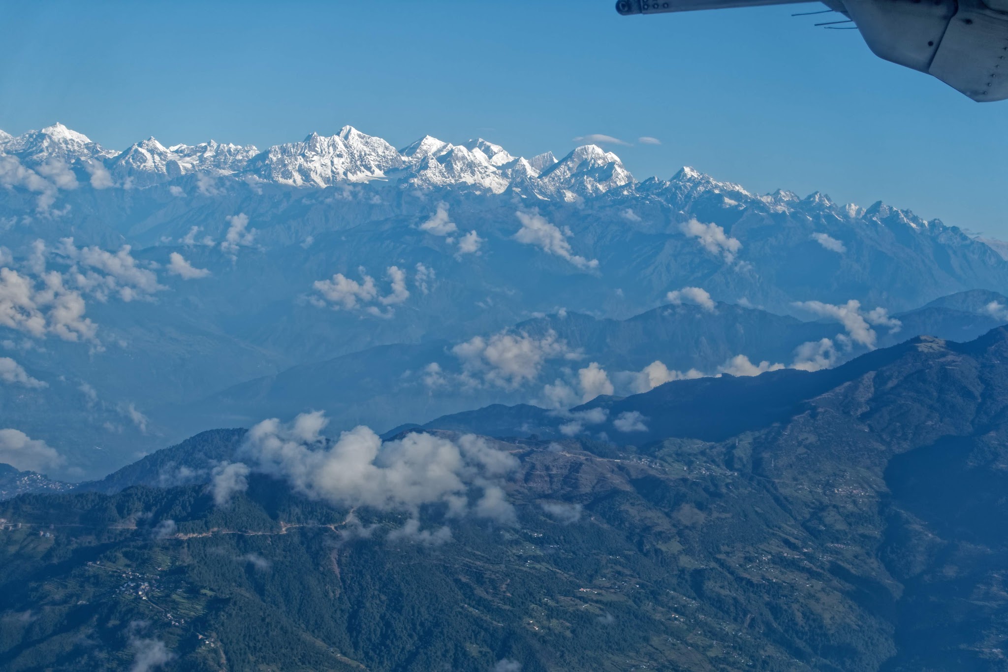
Flight time is about 30min with views of rural Nepal and the mountains of Himalaya to the north (if you take the left seat).
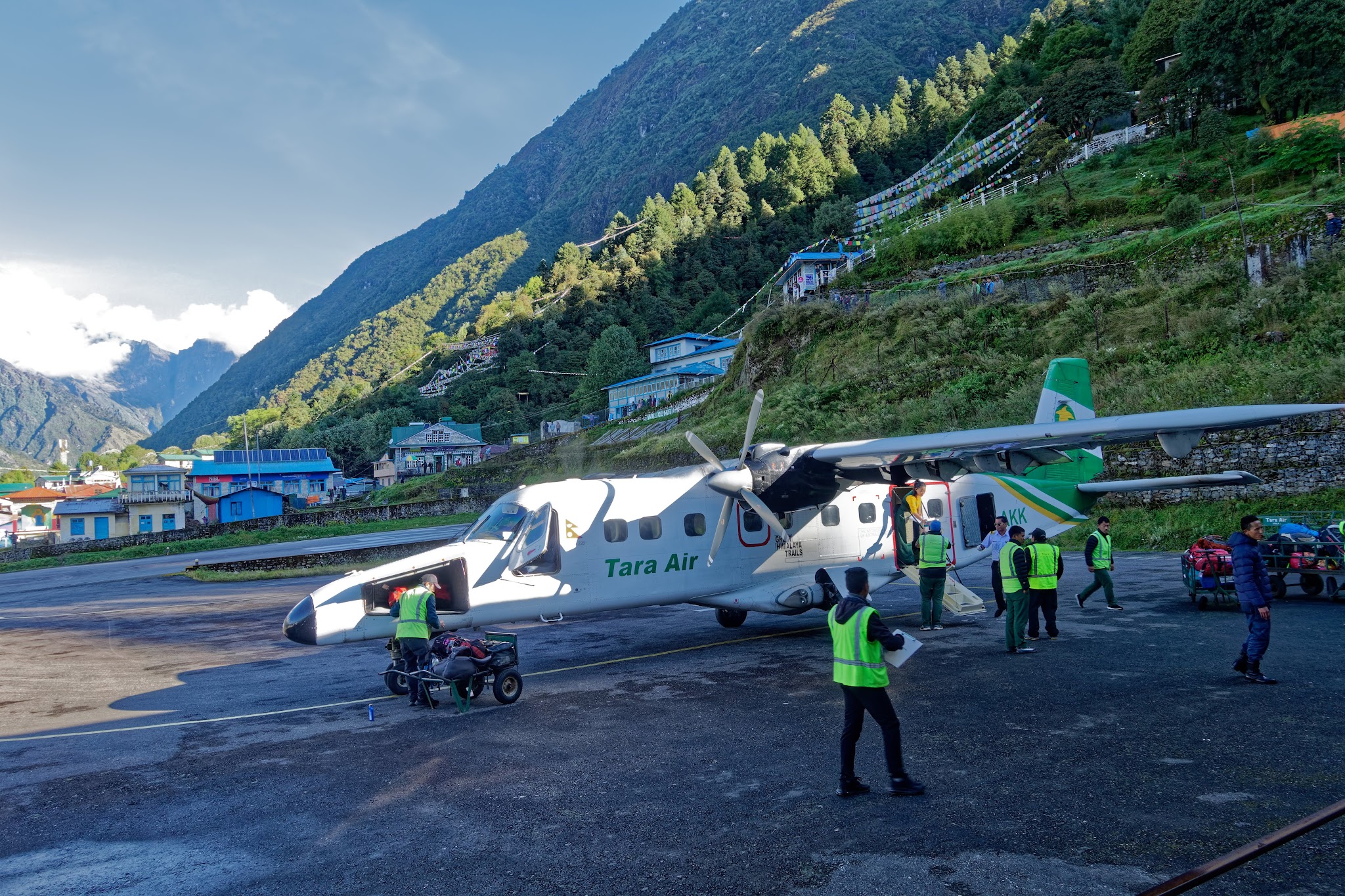
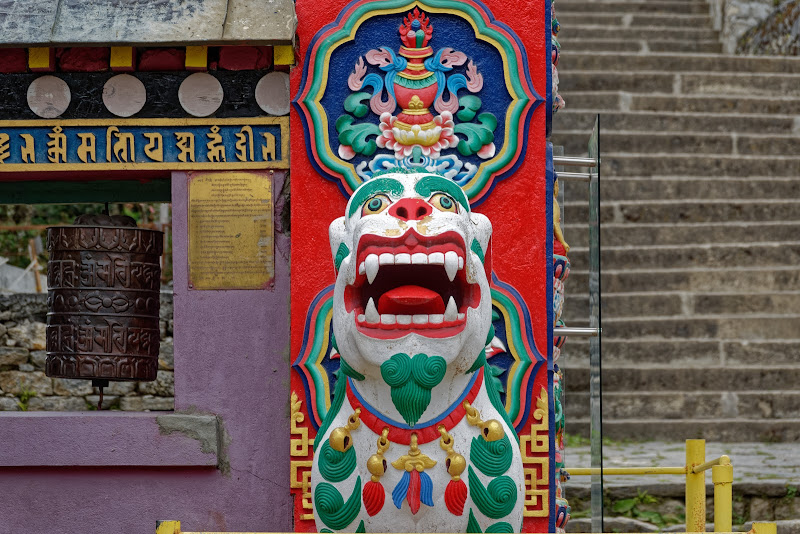
Lukla is main trailhead for the Khumbu region and sprawls around the steeply angled runway of Tenzing-Hillary Airport. There is one cobbled street in Lukla which is lined with lodges and shops selling and renting trekking gear, coffee shops and even some pocket billiards (I wonder how they got the table up there).
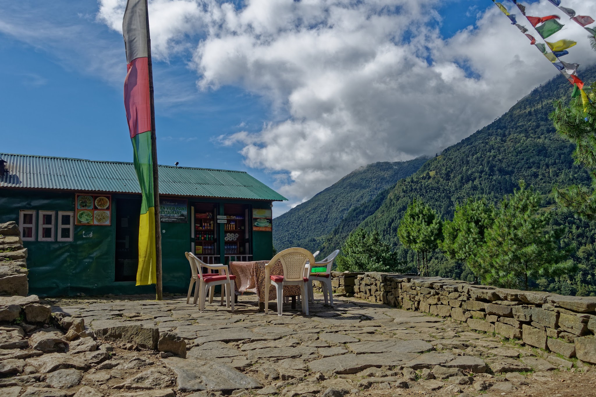
You can find many lodges and possibilities to drink tea and eat along the way: its called a "teahouse trek".
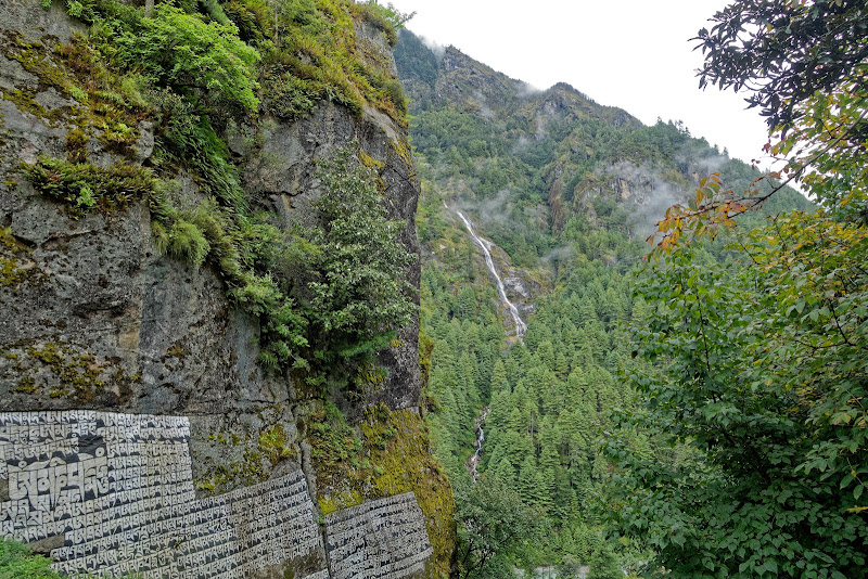

Along this stage of the trek, villages are interspersed with magnificent forests of rhododendron, magnolia and fir. From Chumoa, it’s another short climb to the outskirts of Monjo at 2840m, where I stayed for the night. The village has a pretty setting beside the Dudh Kosi, and you can visit the small Utse Choling Gompa next to the village school.Just after Monjo you enter the Sagarmatha National Park
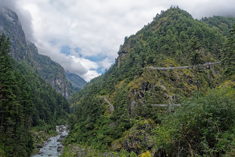
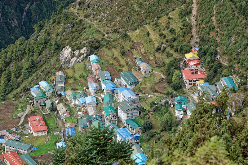
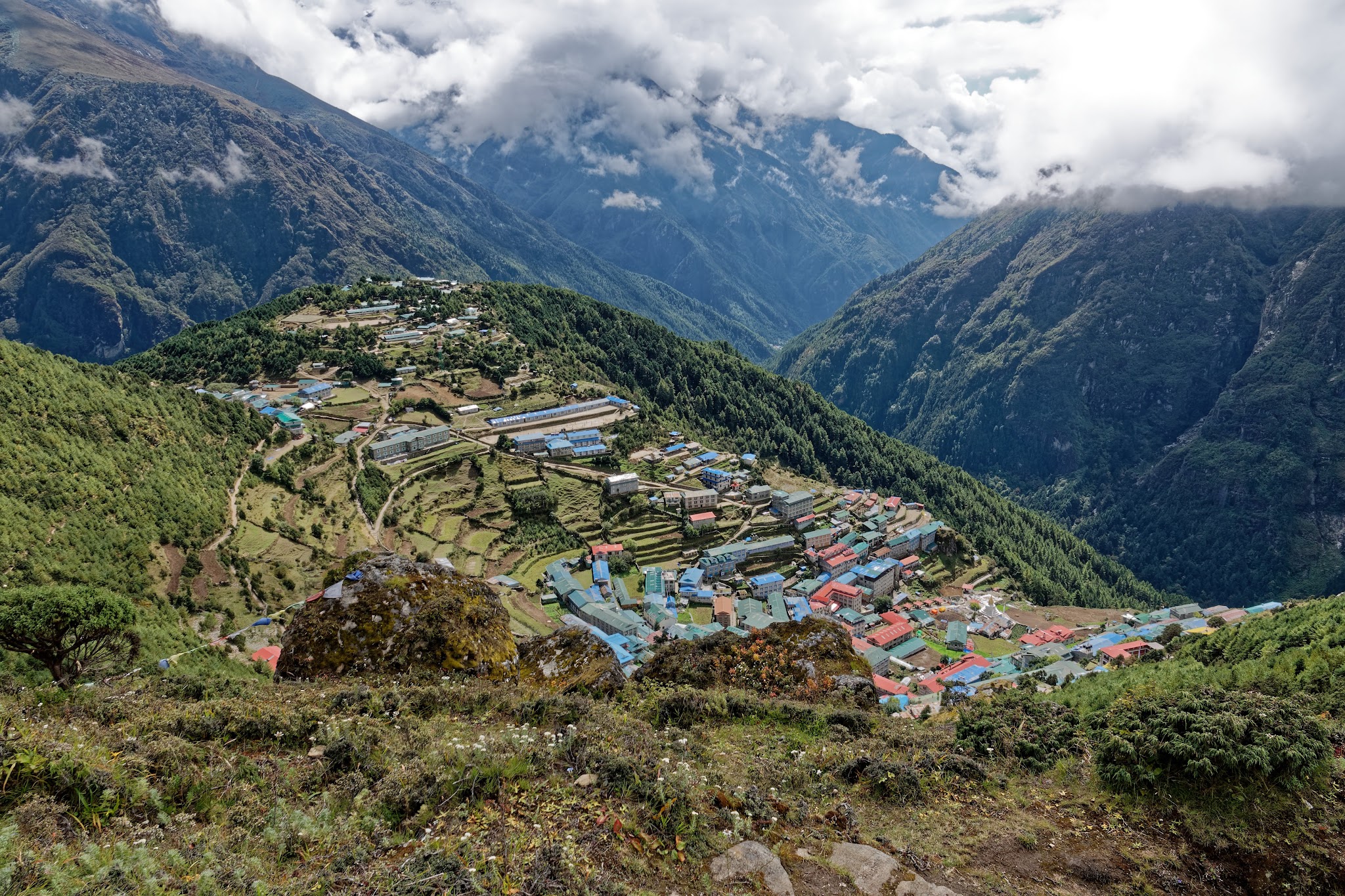
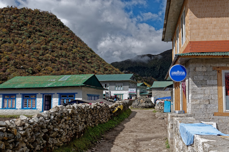
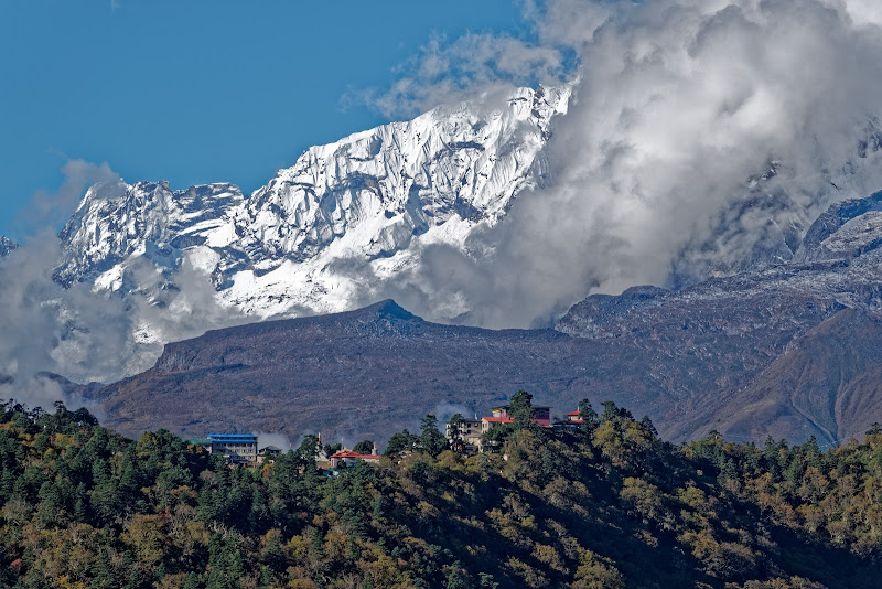
and climb for about 600m until you reach Namche Bazaar the main trading center and hub for the Khumbu region. Set in a natural amphitheatre looking across to the jagged ridge of Kongde Ri (6187m), Namche Bazaar is the unofficial capital of the Khumbu. This tight tangle of cobbled streets is lined with cafes, trekking-gear shops, grocery stores and an ever-expanding array of lodges.
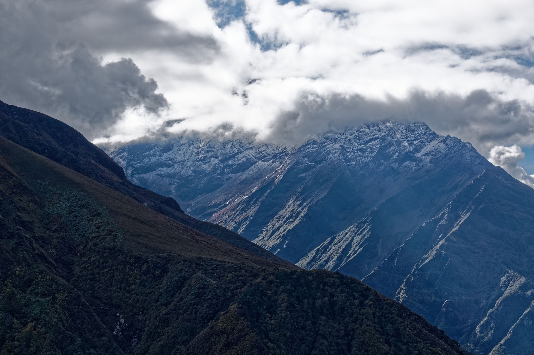
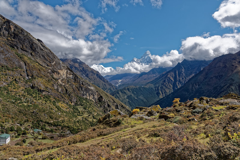
Historically, Namche Bazaar was an important staging point for trading expeditions across the Nangpa La into Tibet, but today the village earns most of its income from the trekking industry, making it one of the richest districts in Nepal. On one level, it’s relentlessly commercial, but the spectacular setting and the handsome stone and timber buildings make it feel like a proper mountain village. Because of the steep climb from Phakding, it is essential to stay at least one extra night to adjust to the altitude, but you can fill the time with some excellent acclimatisation hikes. There are stunning views west across the valley of the Bhote Kosi to the knife-edge ridge of Kongde Ri (Kwangde Ri; 6187m) and east across the valley of the Dudh Kosi to the snow-dusted peaks of Thamserku (6608m) and Kantega (6685m). The next day was for acclimatization and I was lucky to get a glimpse at Ama Dablam, Everest was hidden behind clouds.

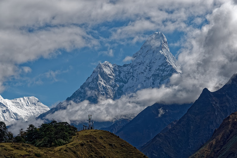
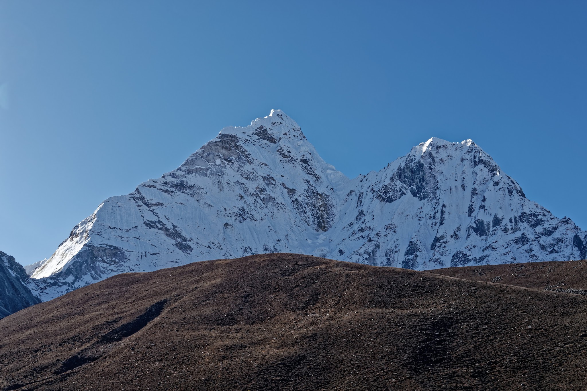
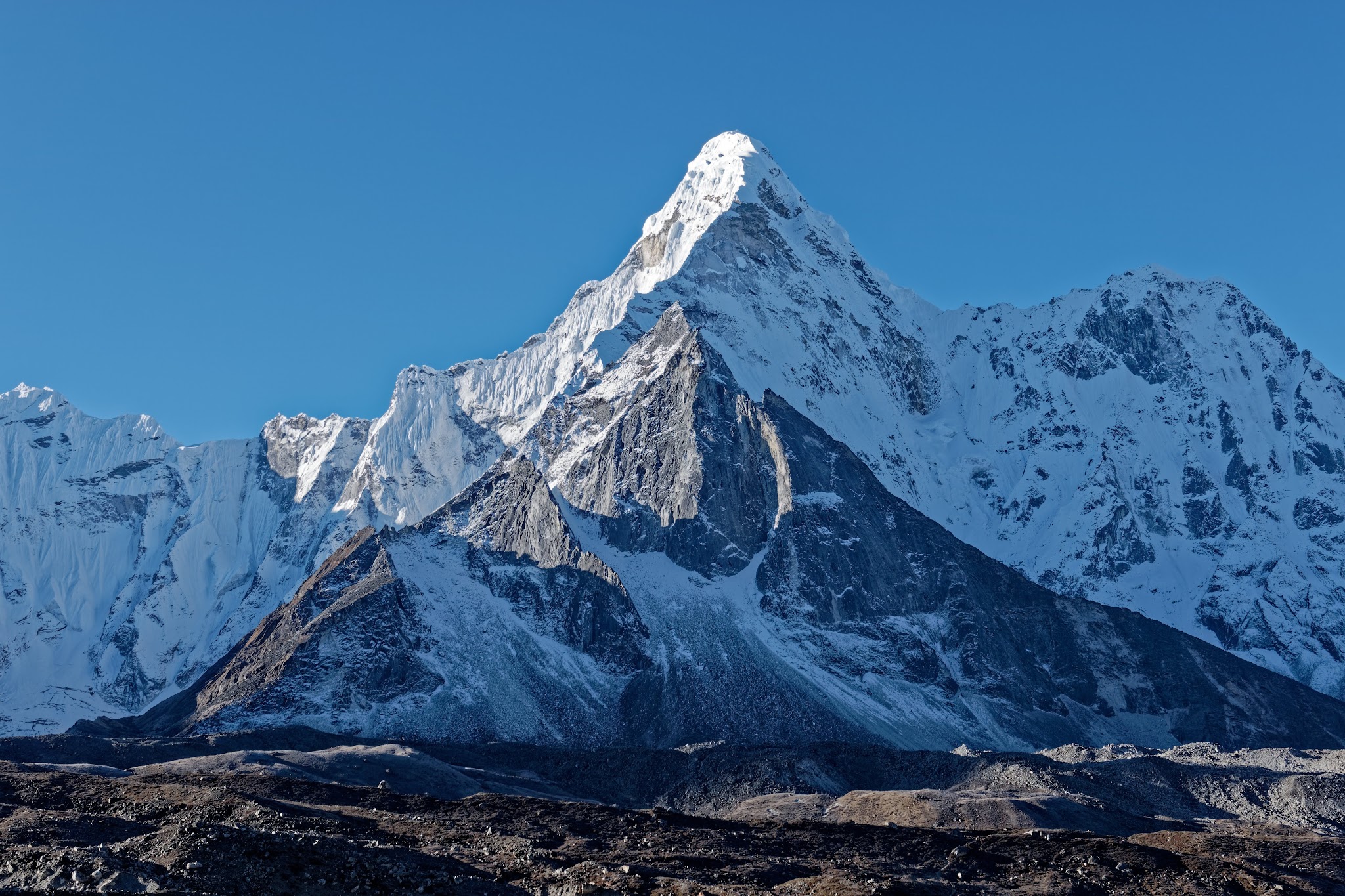
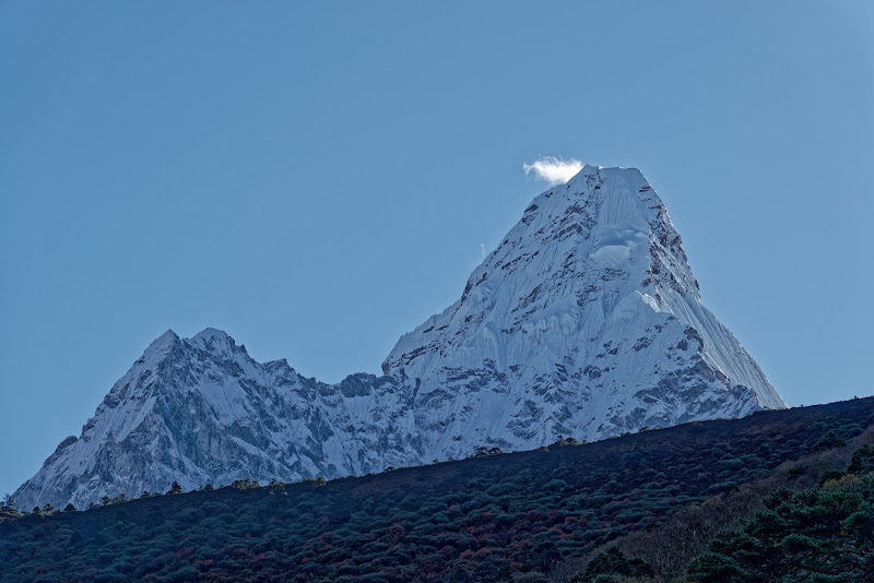
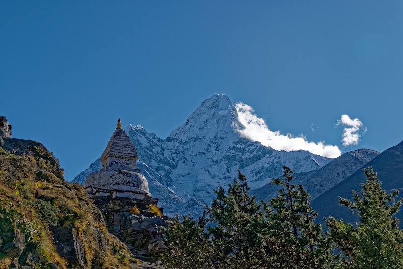
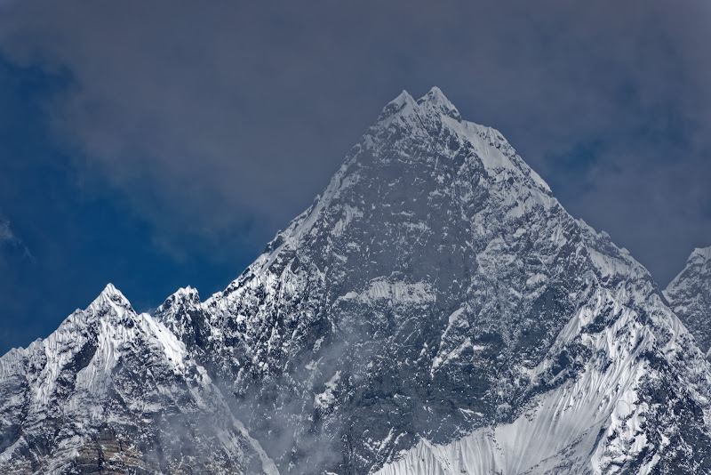
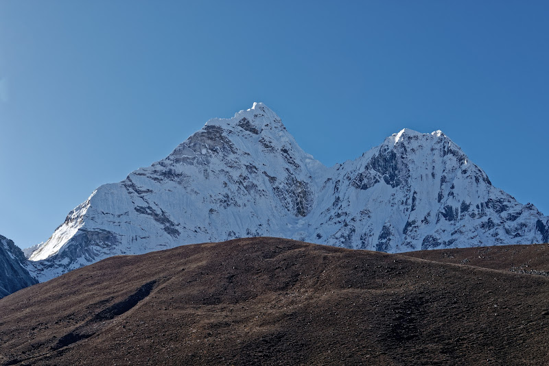
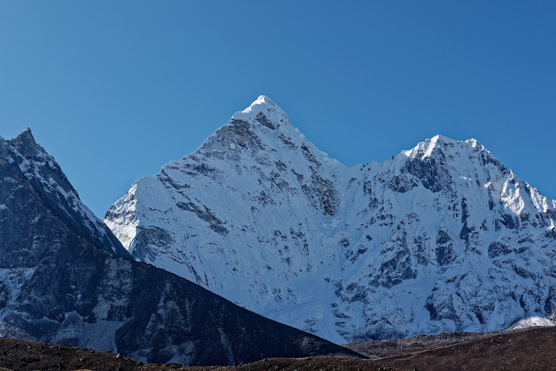
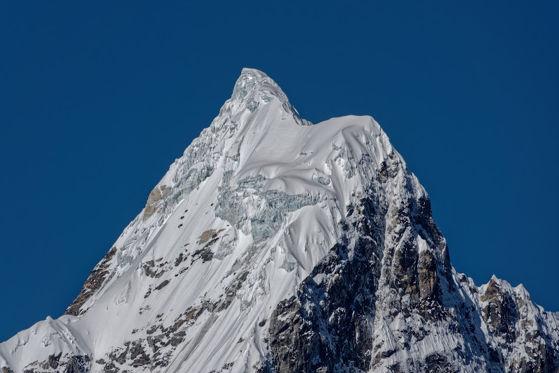
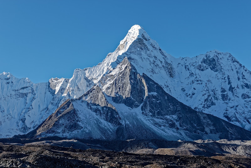
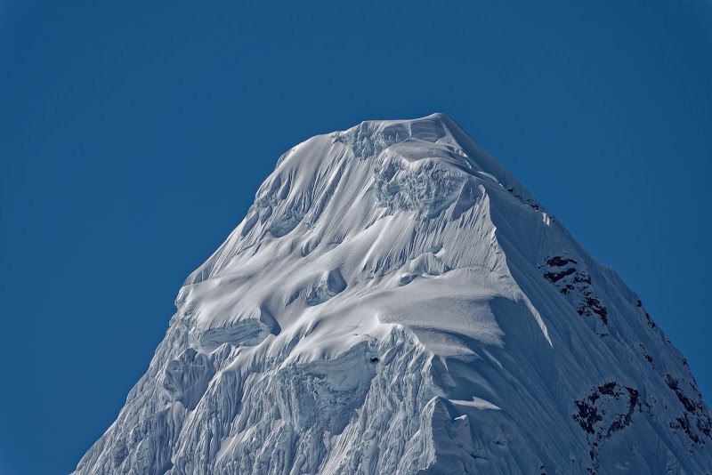
Ama Dablam, 6812m, the Matterhorn of the Himalayas.
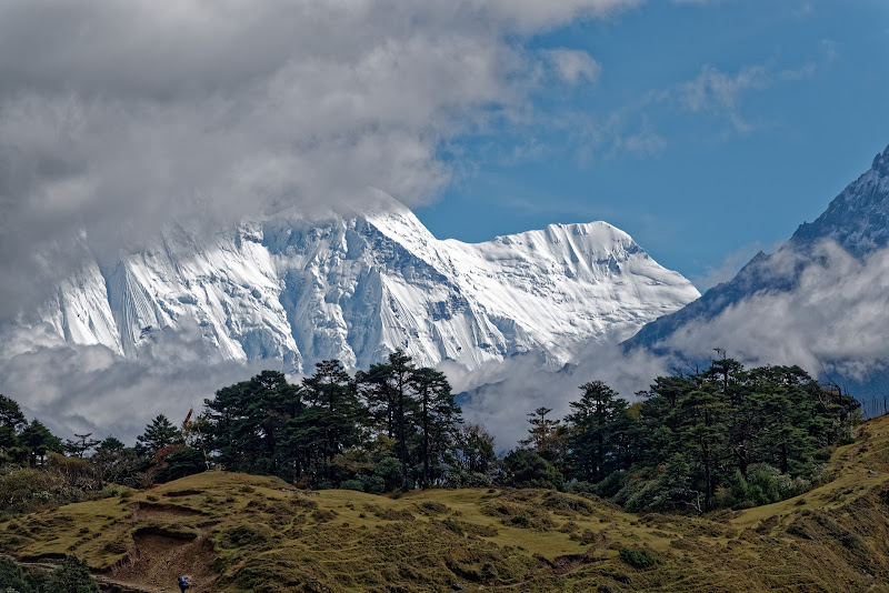
Everest is behind the cloud on the left.
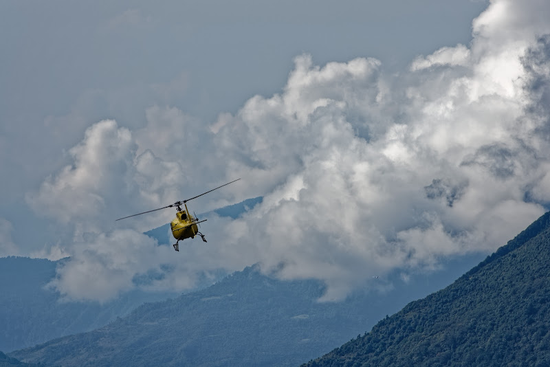
Some tourists just get an helicopter instead of trekking.


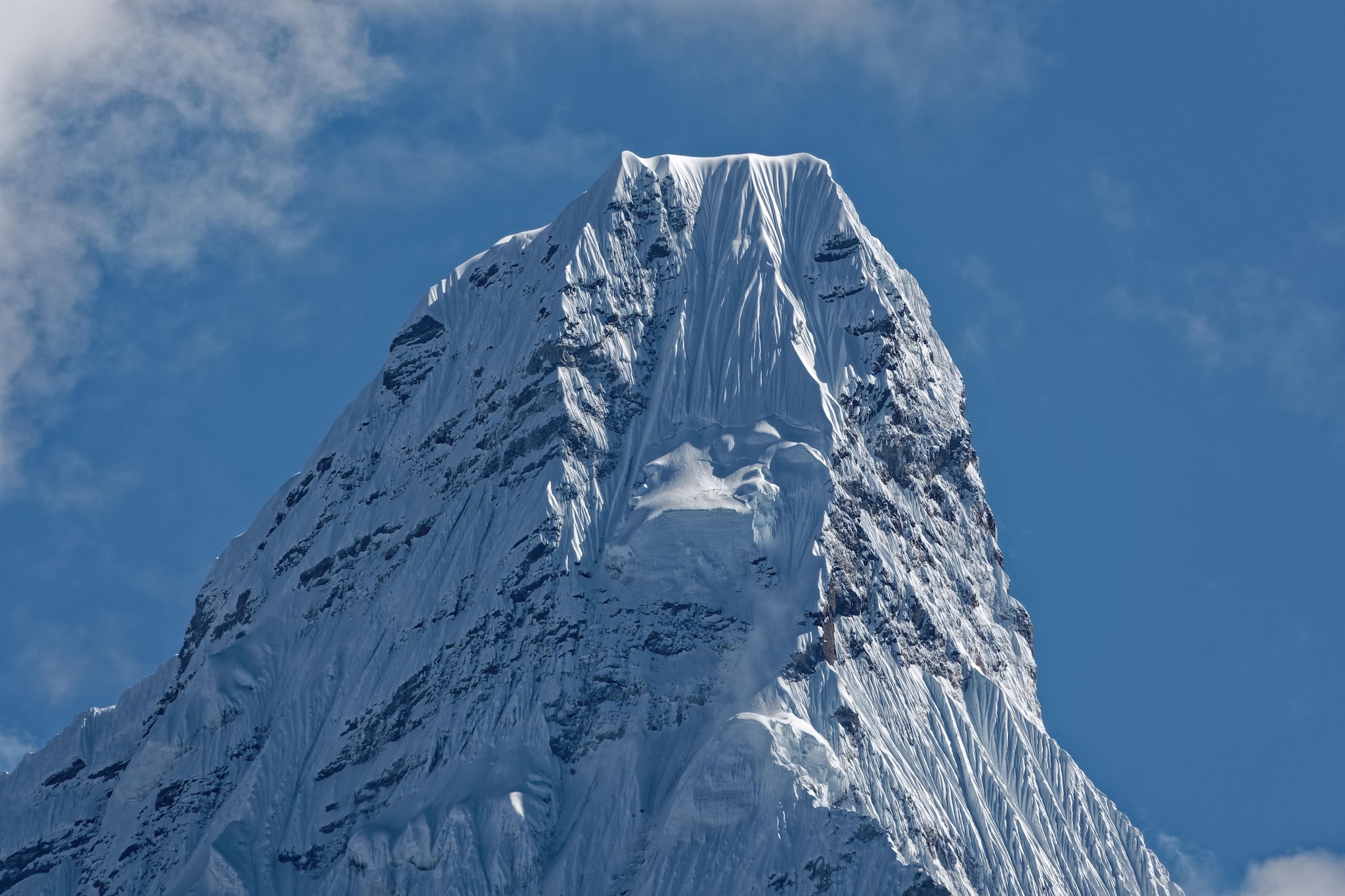
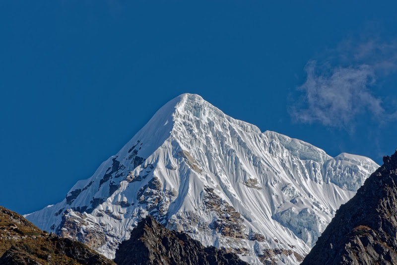
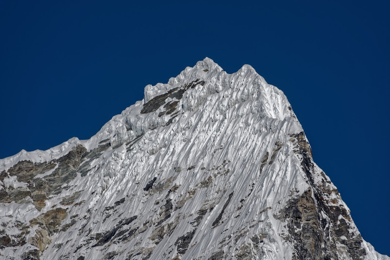
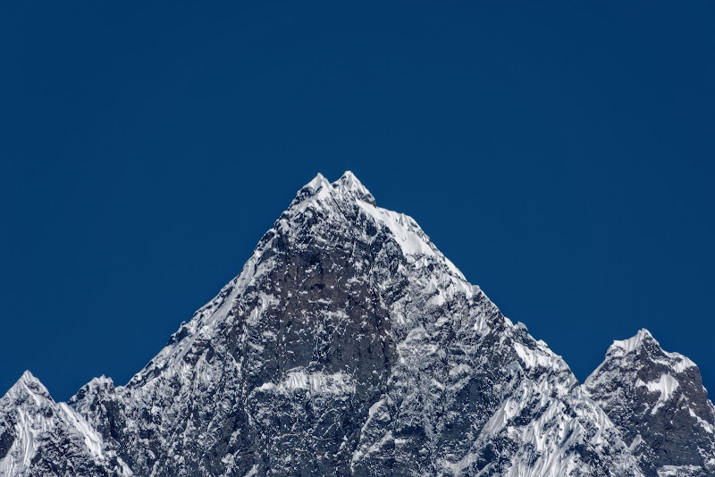
Closeup of Ama Dablam.


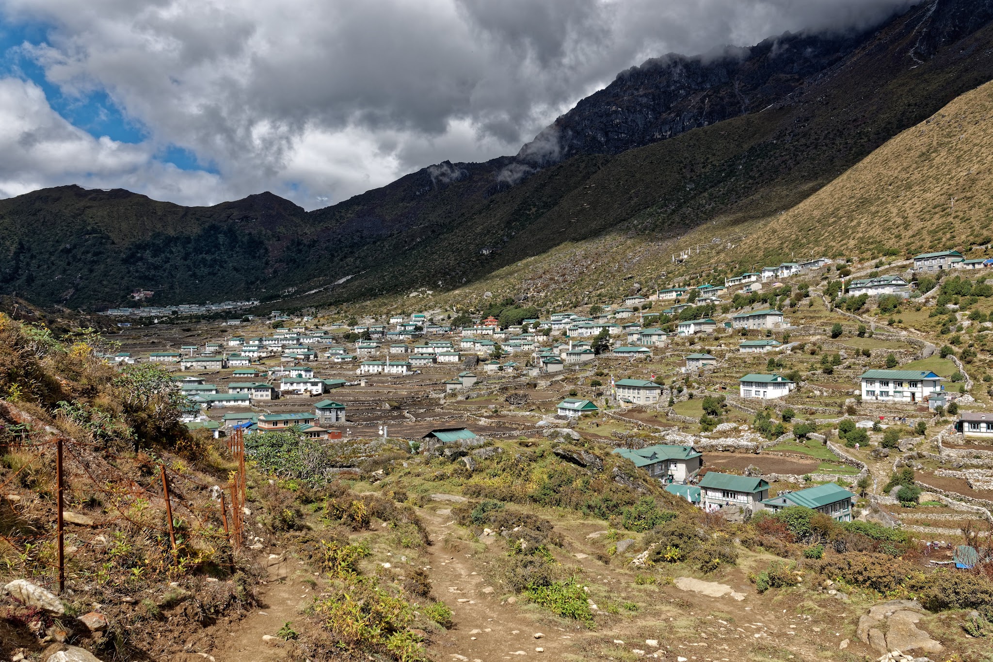
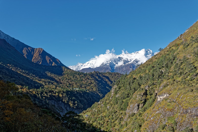
The valley ahead for the next few days as seen from Khumjung. If you like Yetis: visit Khumjung Monastery to see its yeti scalp, or Pangboche Monastery for its replica yeti hand, and to actually see a yeti, the remote peaks of Gaurishankar (7134m) and Melungtse (7181m) are said to be the best place...

Khumjung offers Italian coffee.
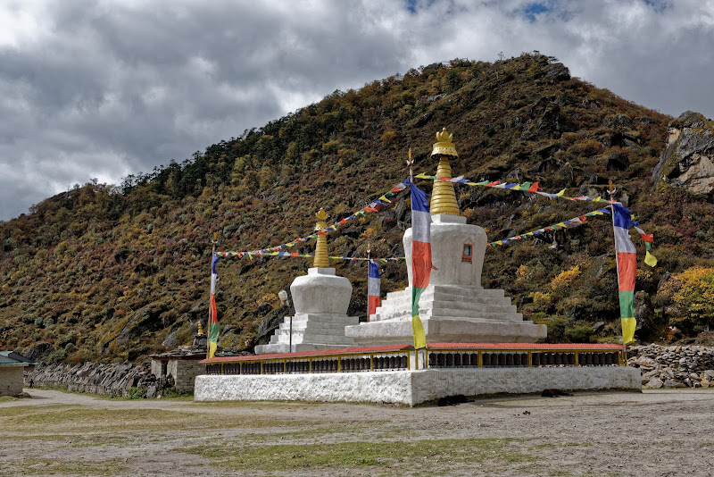


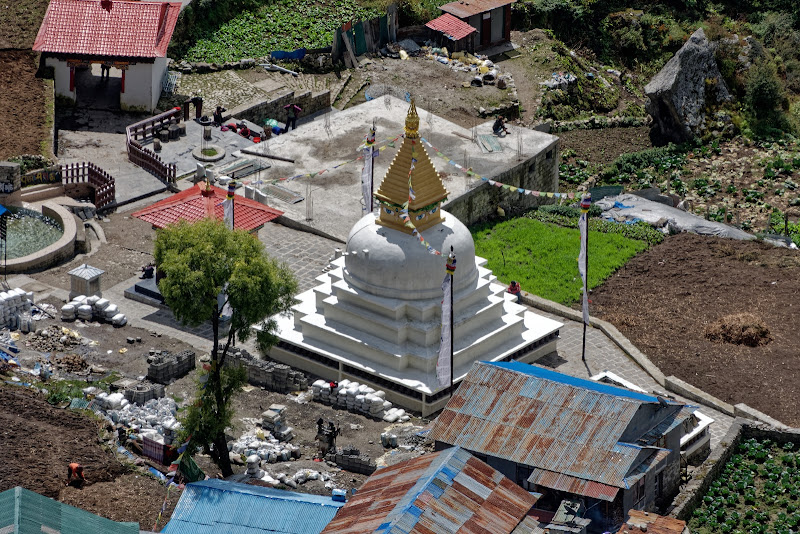
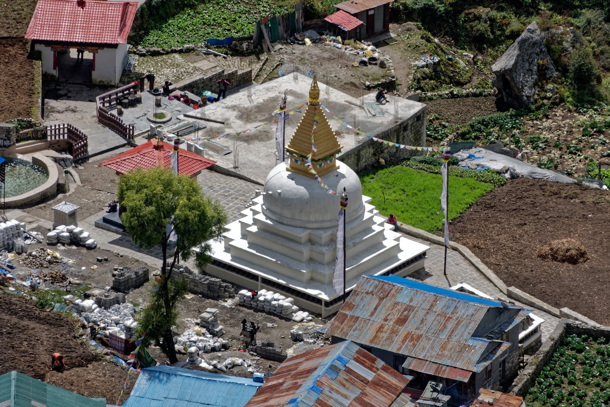
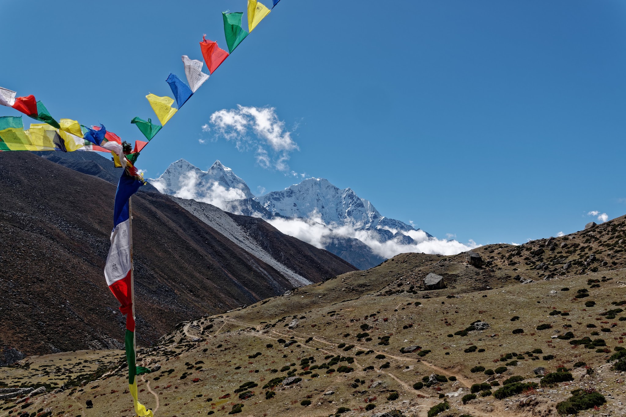
Namche again after the roundtrip with different Stupas and lots of prayer flags everywhere.

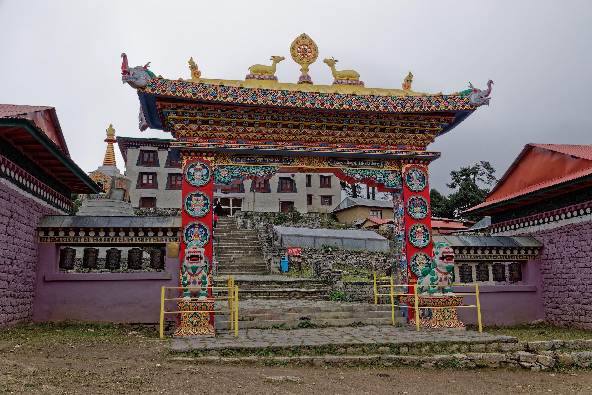
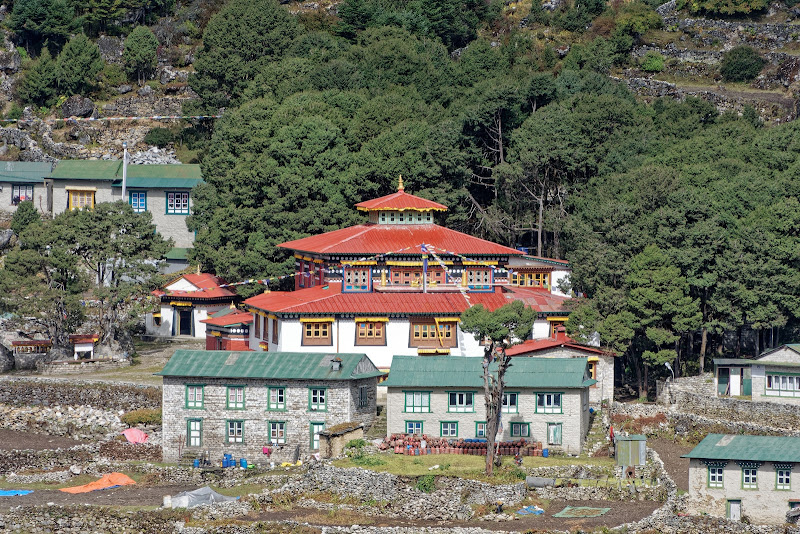
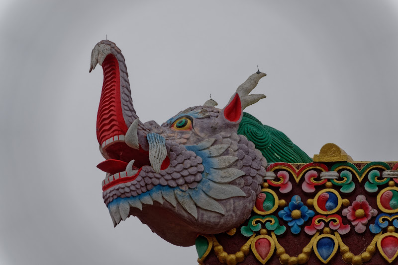
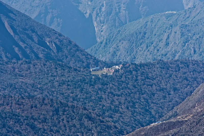
Next day a bit of down and up to the village and monastery of Tengboche. A powerful mythology has grown up around the monastery at Tengboche (Thyangboche) as a result of the writings of explorers and mountaineers, but the gompa is not as ancient as you might expect. The first gompa at Tengboche was constructed in 1916 by Lama Gulu, a monk from Khumjung, but the building was destroyed in the earthquake of 1934, which also killed its founder. A second gompa on the site lasted until 1989, when an electrical fire burned the stone-and-timber structure to the ground.
Fortunately, most of the gompa’s valuable books, paintings and religious relics were saved. Using donations from Sherpas, foreign aid organisations, Buddhist groups and mountaineering and trekking companies, Tengboche was painstakingly reconstructed, reopening its doors in 1993. The main hall enshrines a 4m-high statue of Sakyamuni, flanked by the bodhisattvas Dorje Sempa (Vajrasattva) and Jampelyang (Manjushri) and backed by an ornate original wooden frieze that was rescued from the fire.
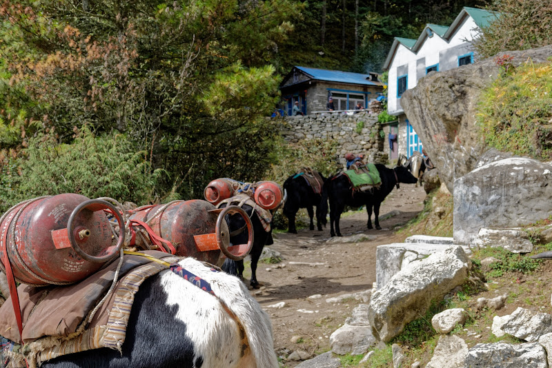
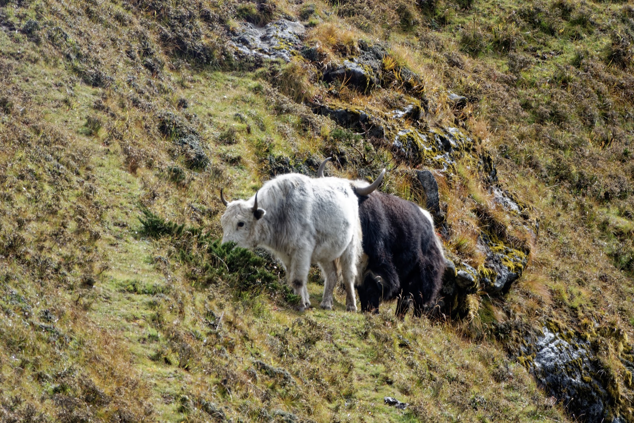
Yaks are means of transport, here you see them packed with gas for cooking. The yak dung in return is used for heating.


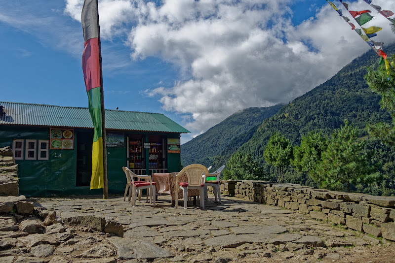
Tengboche Monastery. From Tengboche, follow the trail below the bakery through a lovely forest of dwarf conifers and rhododendrons, keeping an eye out for monal pheasants and musk deer. After 15 minutes the stone path reaches Debuche (3820m).I stayed for the night in Deboche, less tourists there. Next morning a typical lodge along the trek.

Ama Dablam base camp can be reached from here.

Looking back to Tengboche and (cannot be seen) direction Namche.
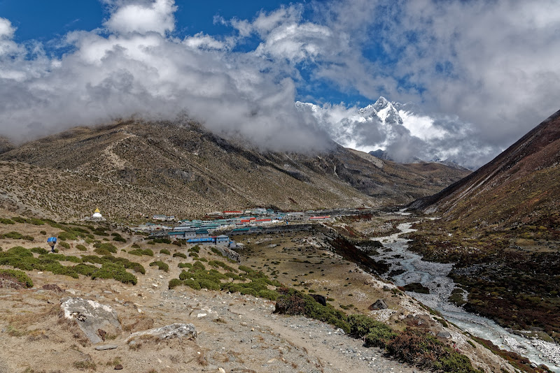
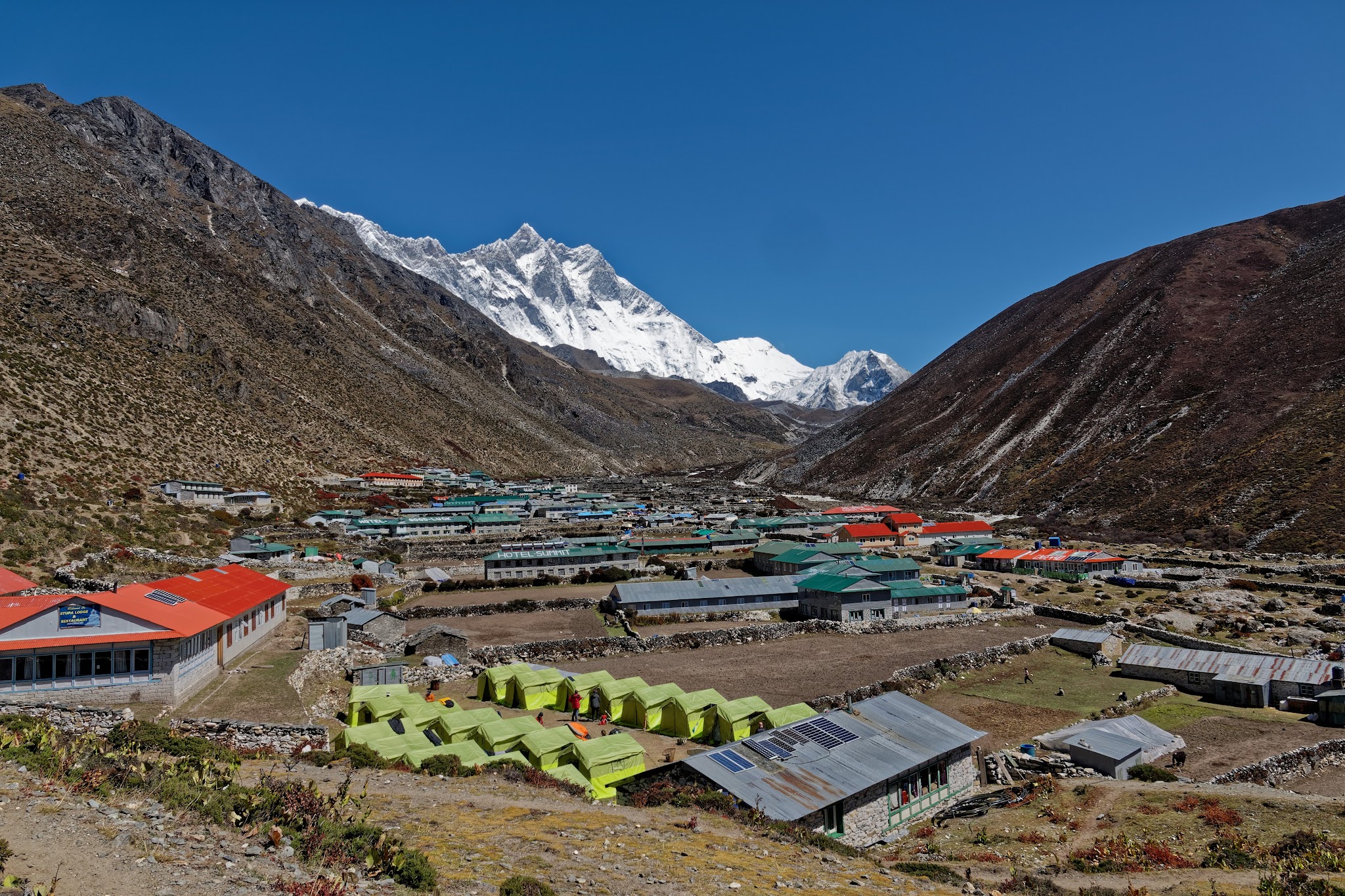
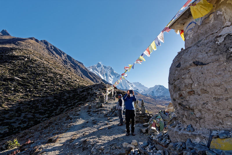
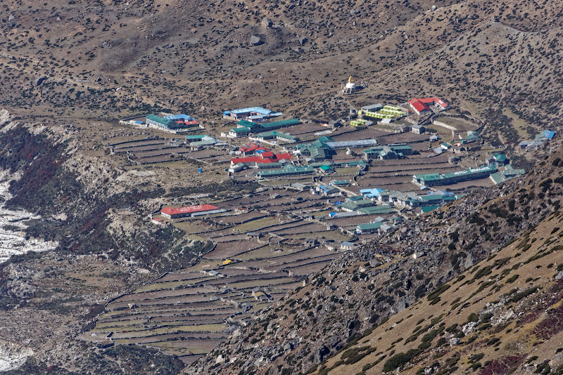
Coming from Tengboche, follow the Pheriche trail as far as Orsho, and take the lower path along the west bank of the Imja Khola. The trail drops to a small bridge over the Khumbu Khola at 4130m and then climbs beside the river for about 30 minutes to the scattered houses of Dingboche (4360m).
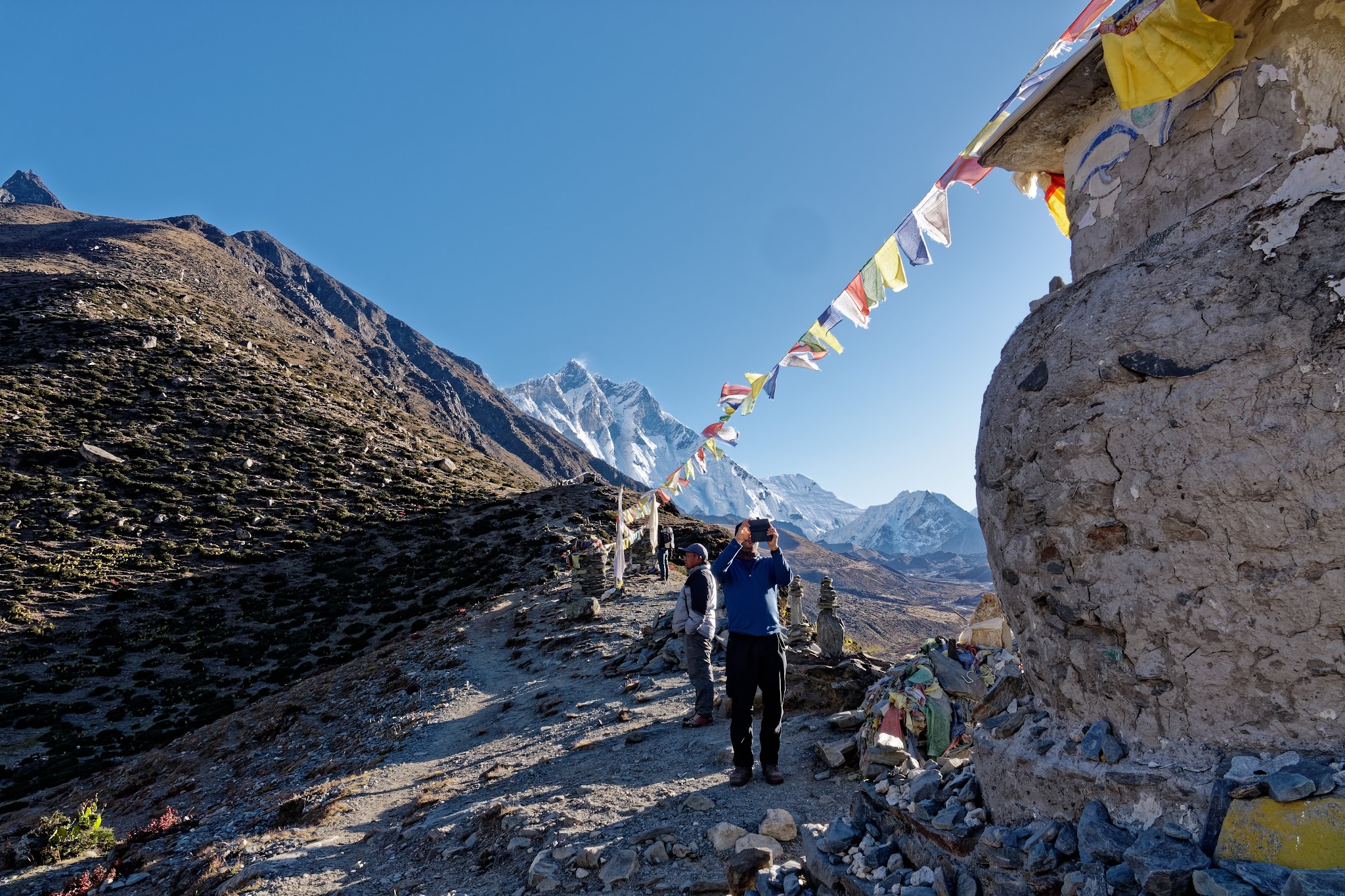
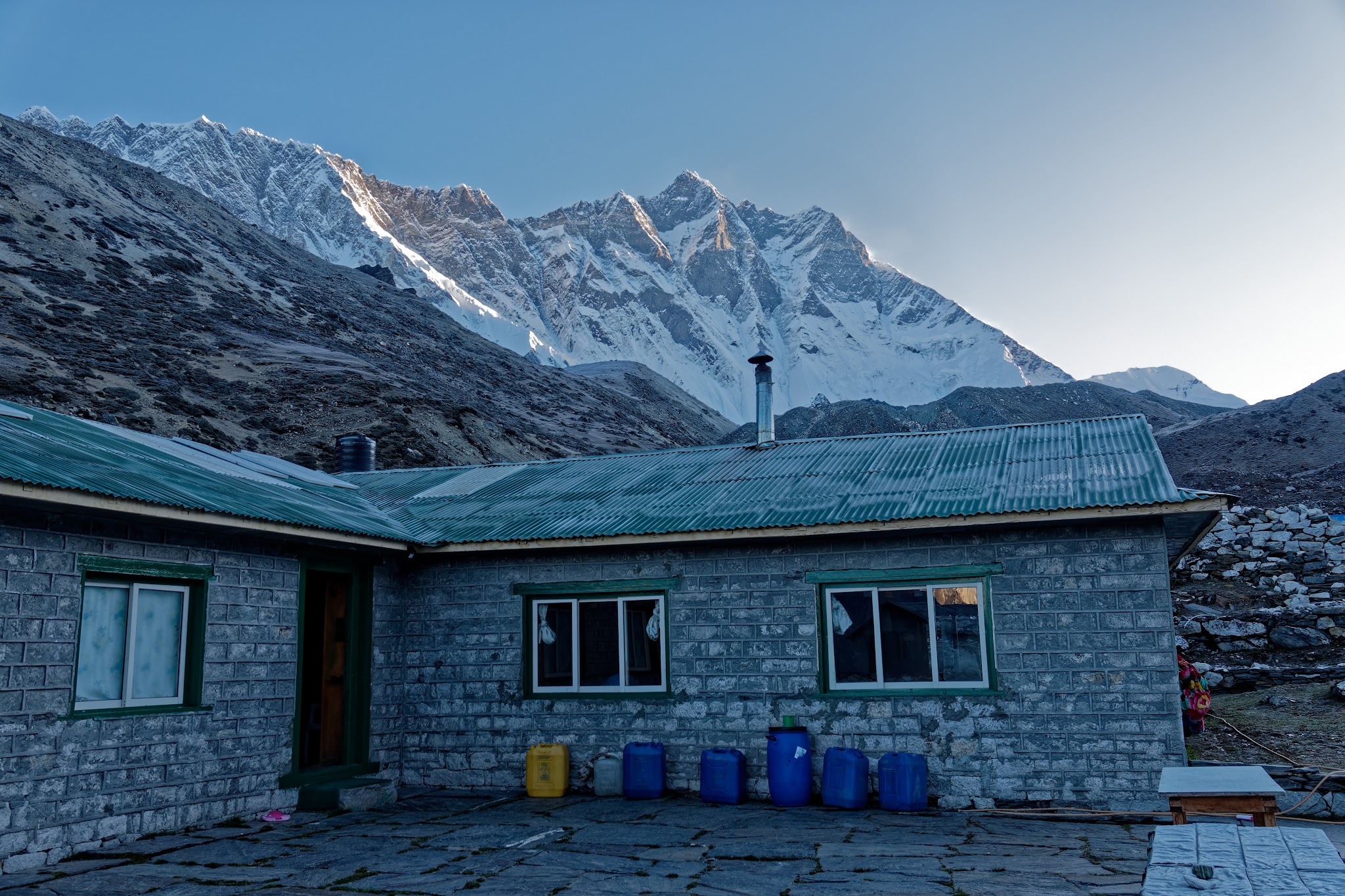
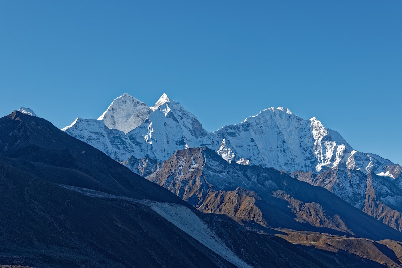
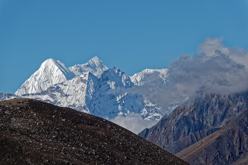
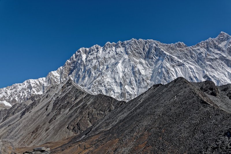
Looking east from the village, you’ll see the snowcapped summits of Island Peak (Imja Tse; 6189m), Peak 38 (7591m) and Lhotse (8501m).

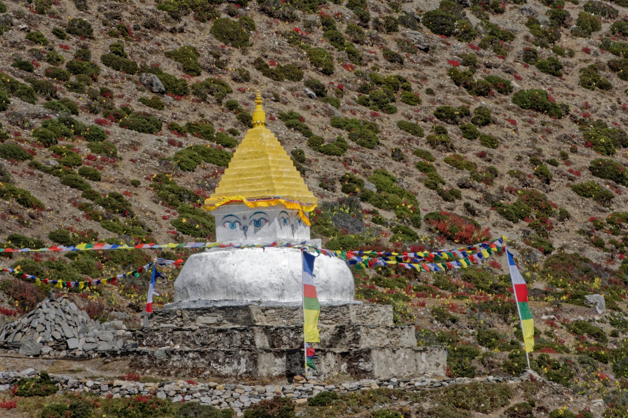
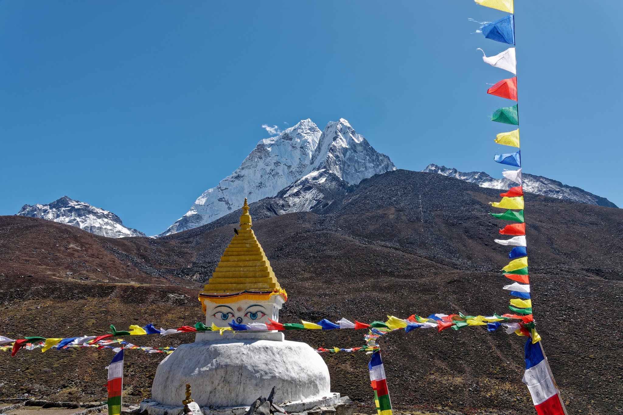
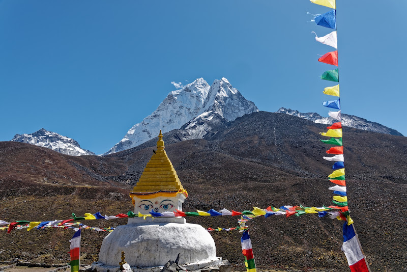
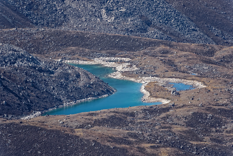
Dingboche and its Stupa, time for another day to acclimatize yourself. One enjoyable short walk is the hour-long climb past prayer flags and chortens to Nangkartshang Hermitage, a collection of retreats built around the meditation cave of Sange Dorje, on the ridge north of Dingboche. The trail continues up the hillside for another 90 minutes to a viewpoint at 5070m that offers fantastic views north to Cholatse (6443m) and Taboche (6542m), south to the lakes at the foot of Ama Dablam and east to Chhukung and Makalu (8463m), the fifth-highest mountain in the world.

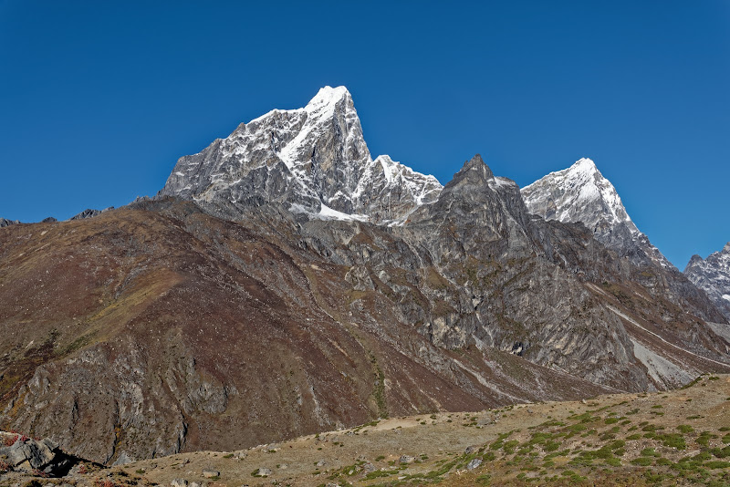
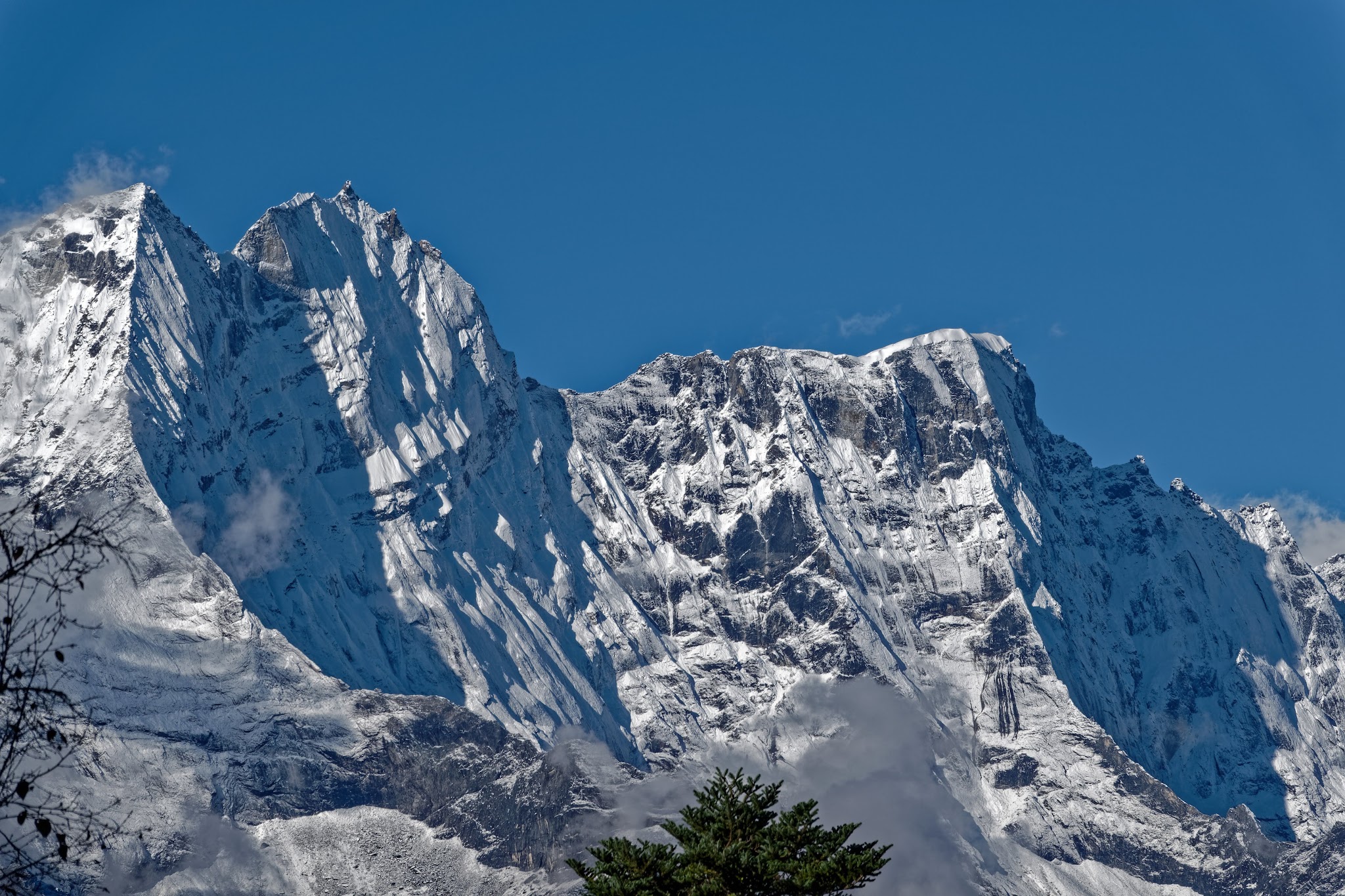
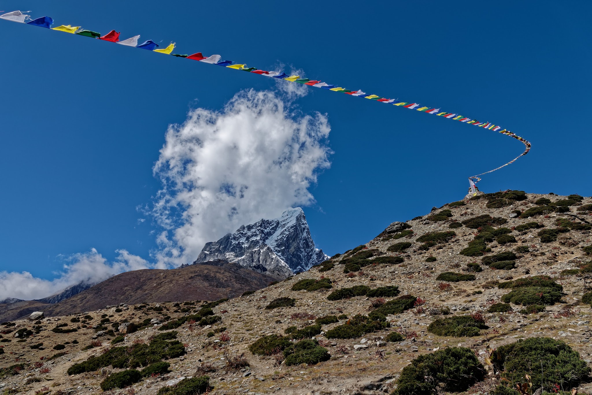
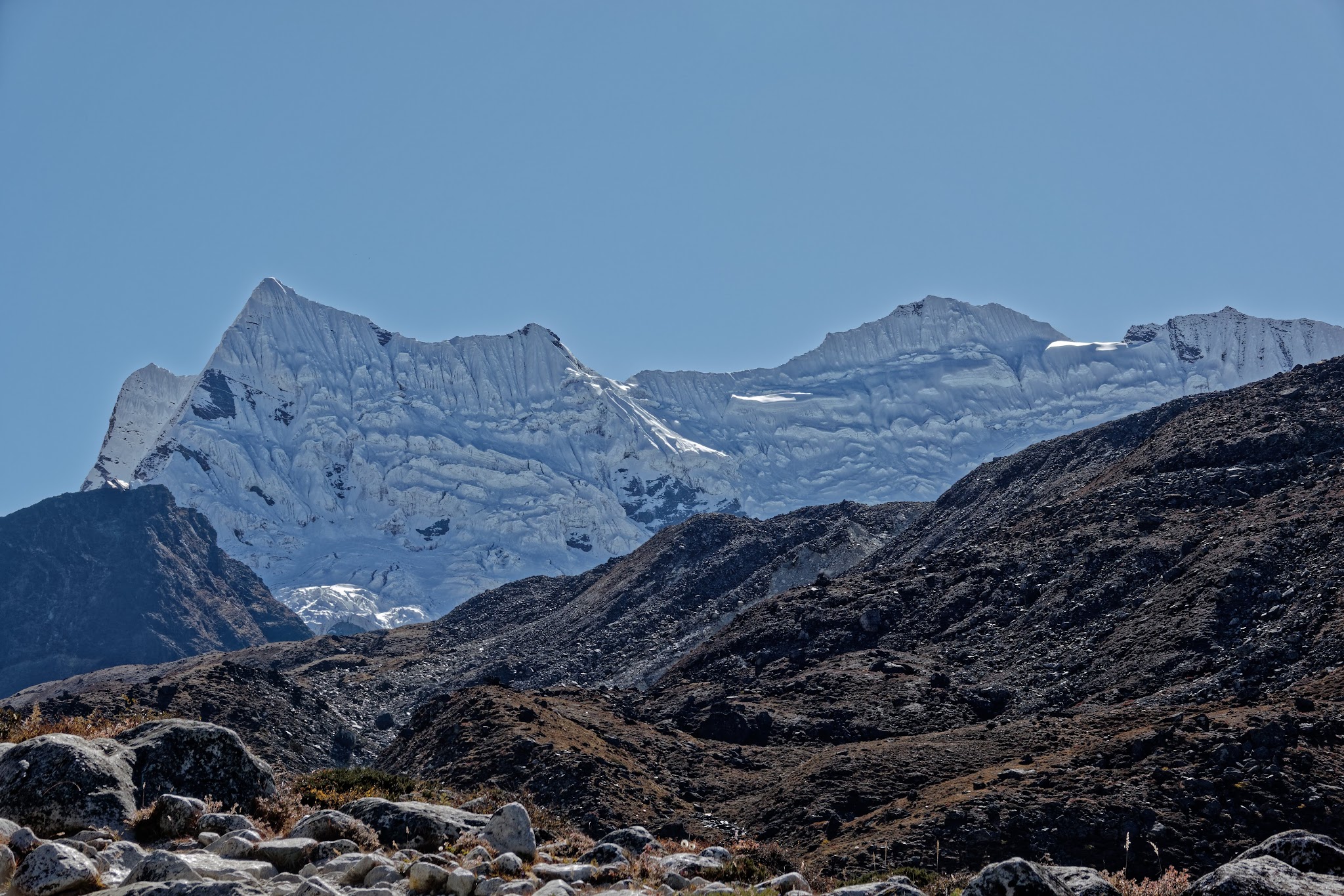
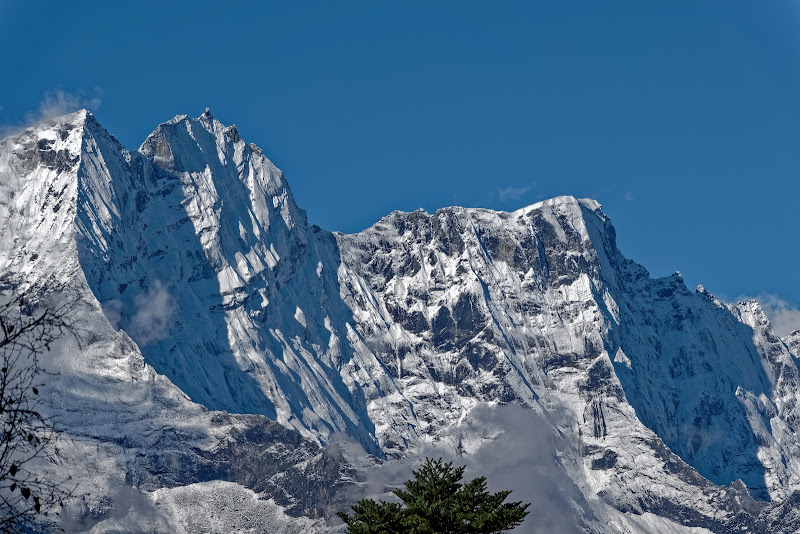
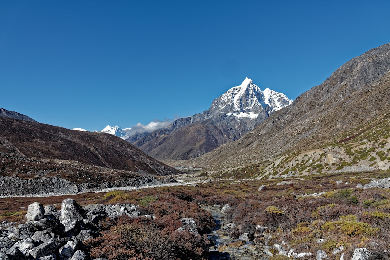
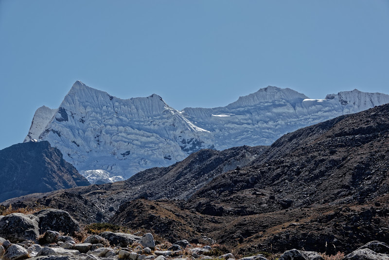
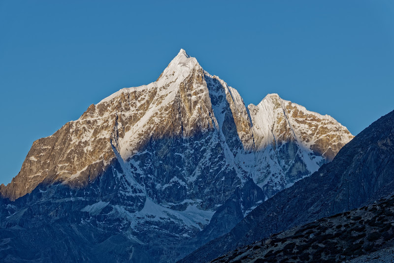
Taboche (6495m, on the left) and Cholatse (right).

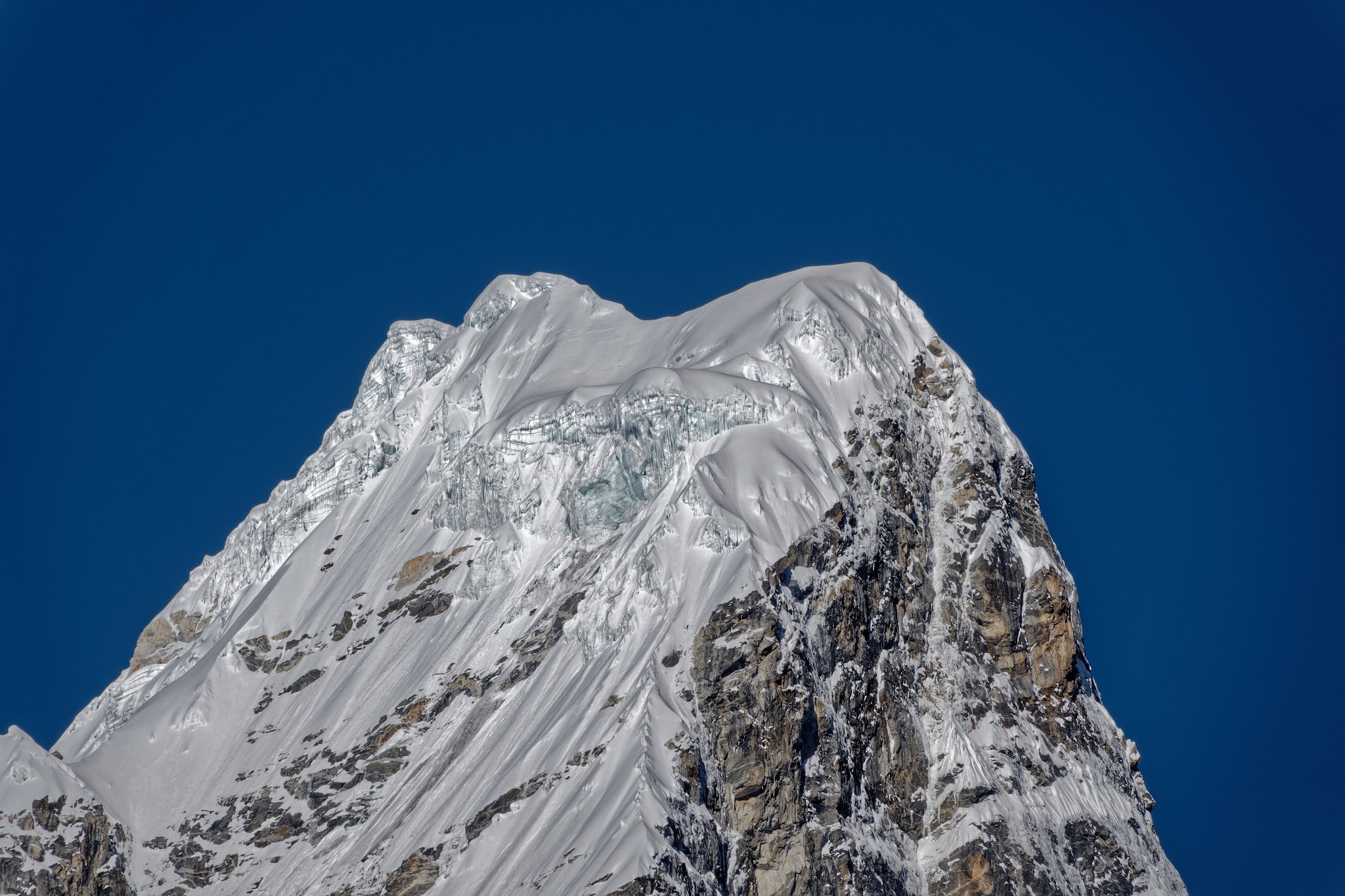
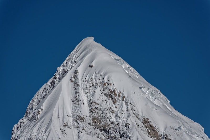
close-ups of Taboche and Cholatse.
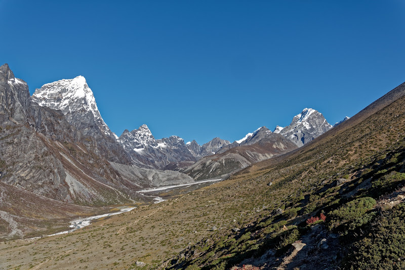
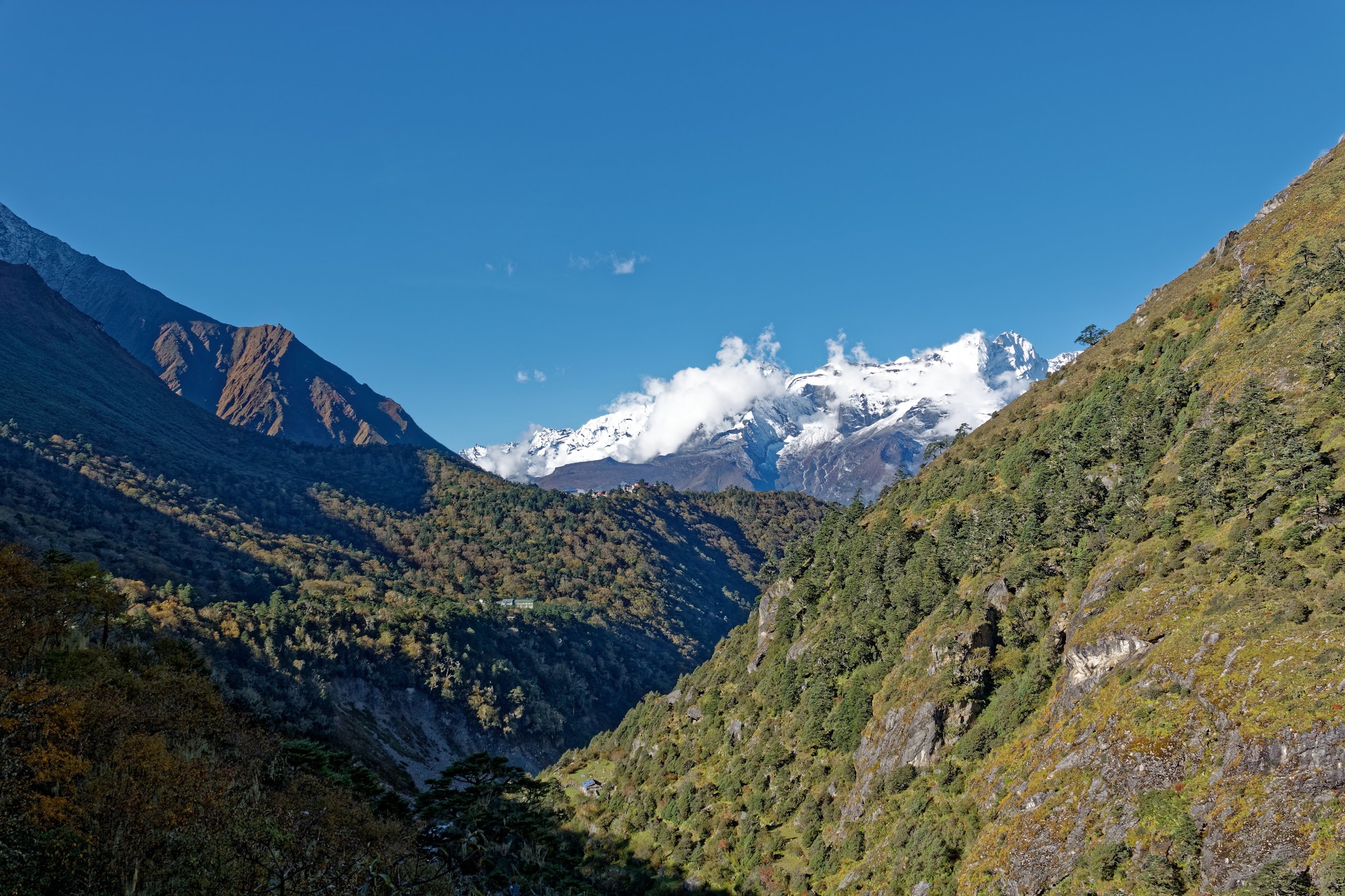
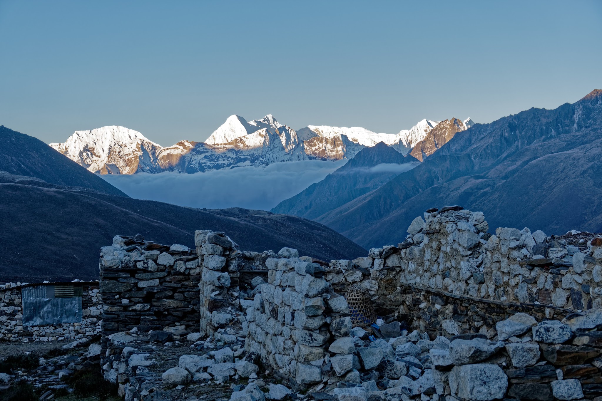
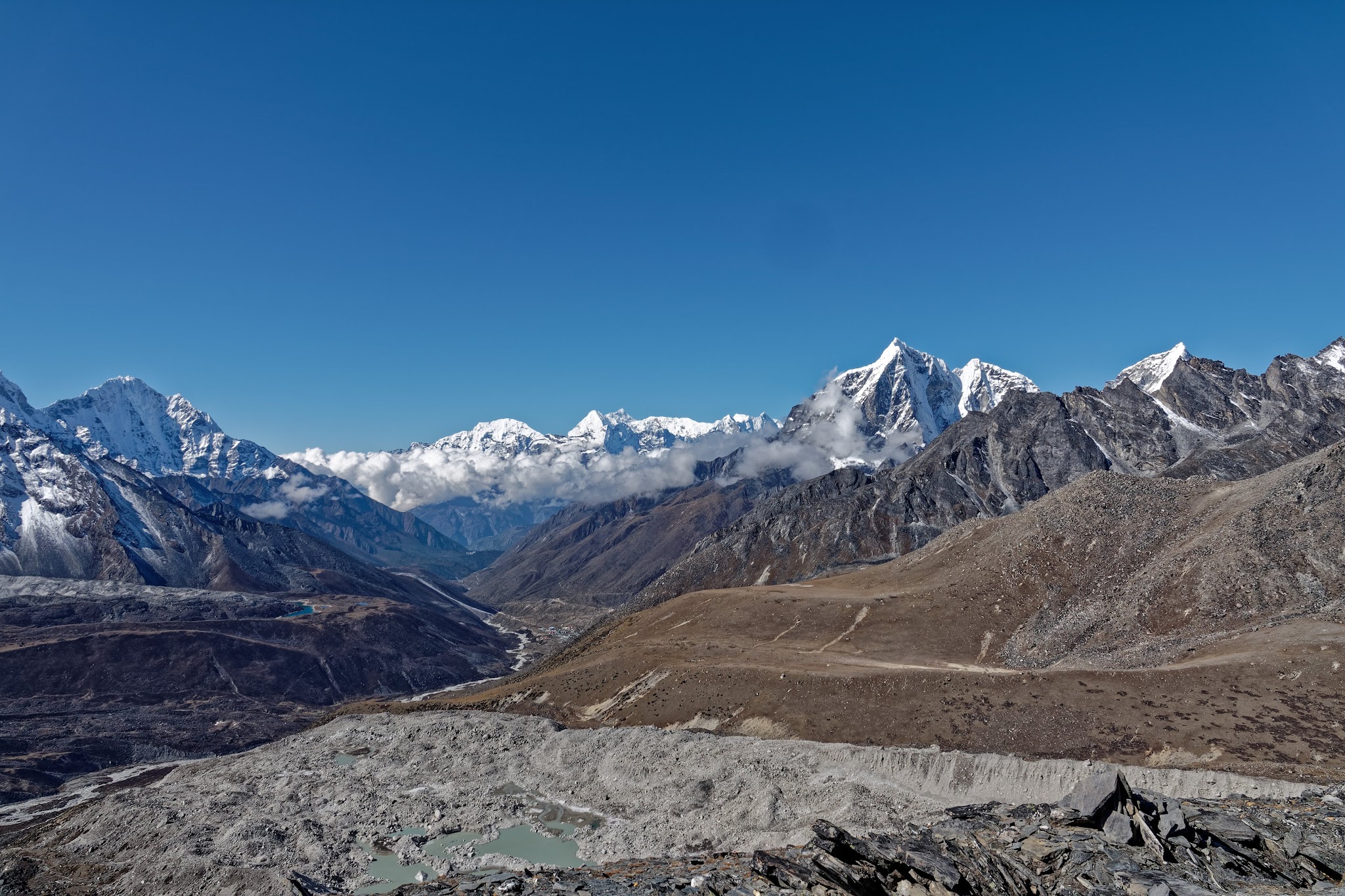
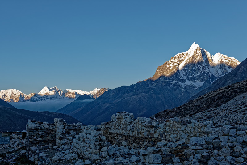
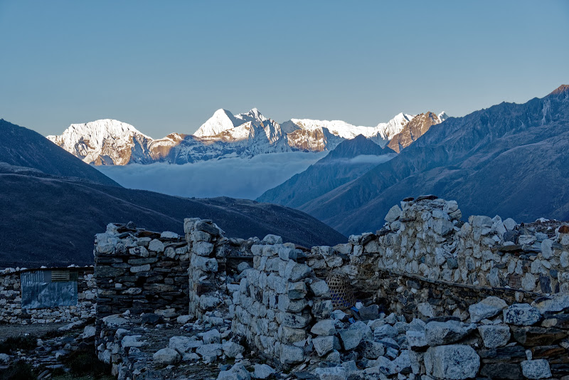
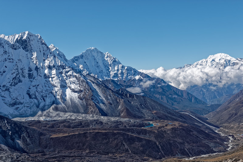
View to Dzonglha towards west-north-west.

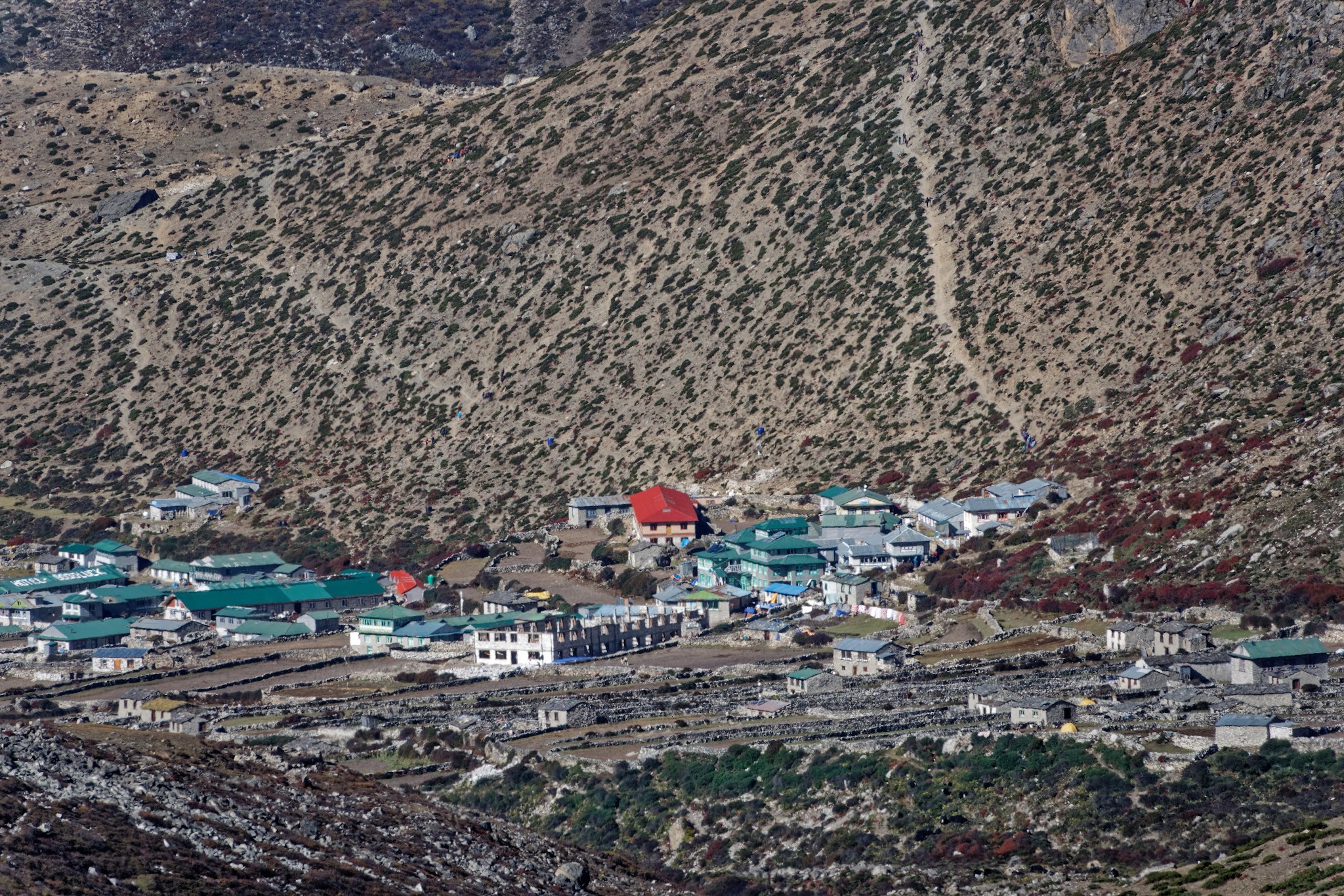
Dingboche.


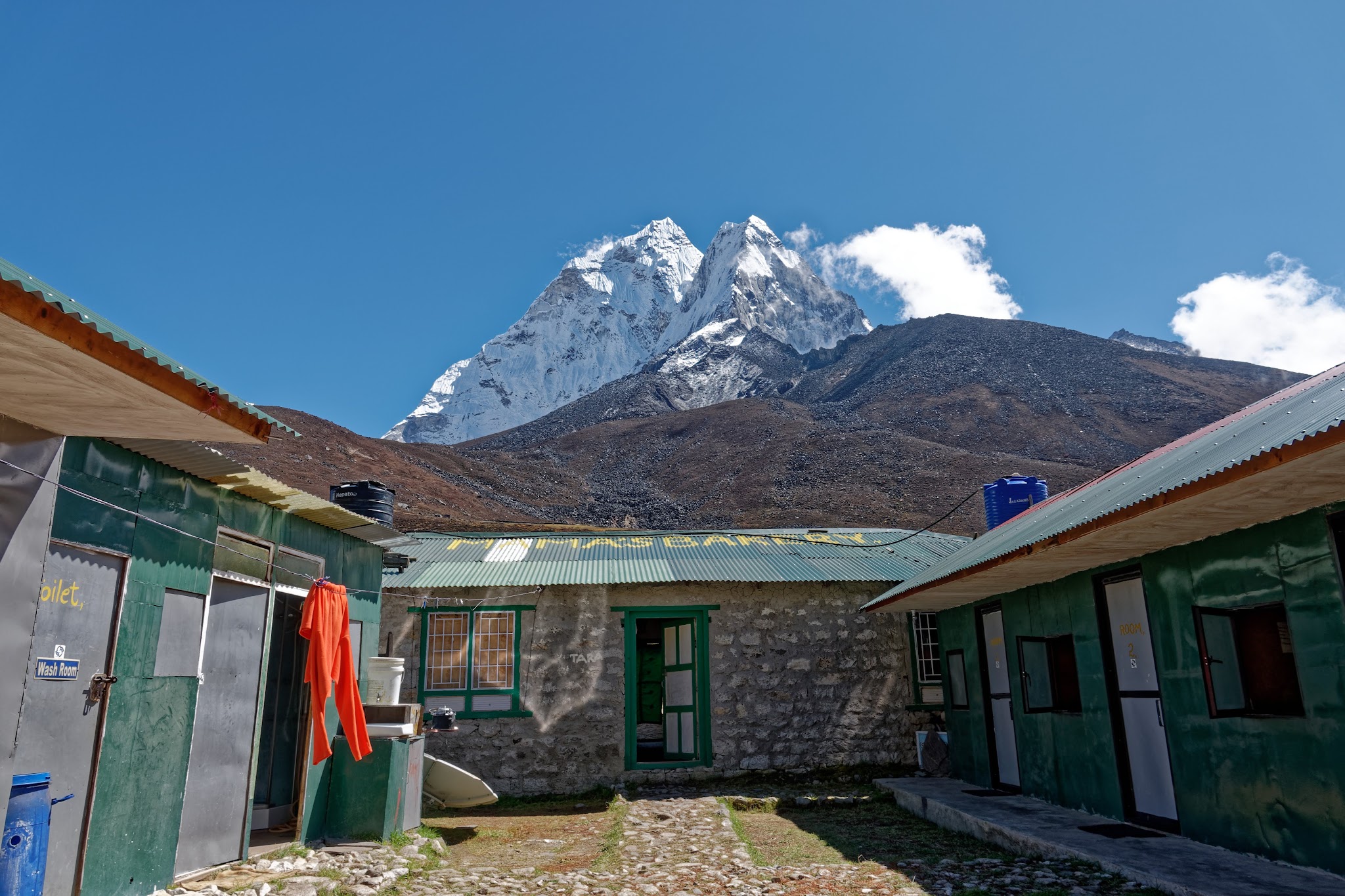
my lodge in Dingboche with Mama's bakery in front.


Mountains and glaciers surround Chhukung and there are some great side trips here. The most popular half-day trip is the stiff climb up the 5546m Chhukung Ri (four hours return) for views over a fairy-tale panorama of peaks, including Ama Dablam, Baruntse (7220m) and Makalu (8463m).

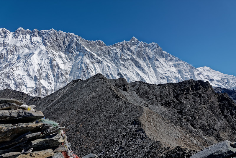
Lhotse (8516m) and Nuptse as seen from the lodge in Chhukung.


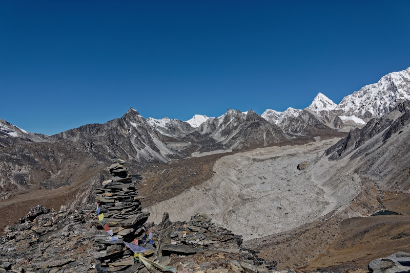
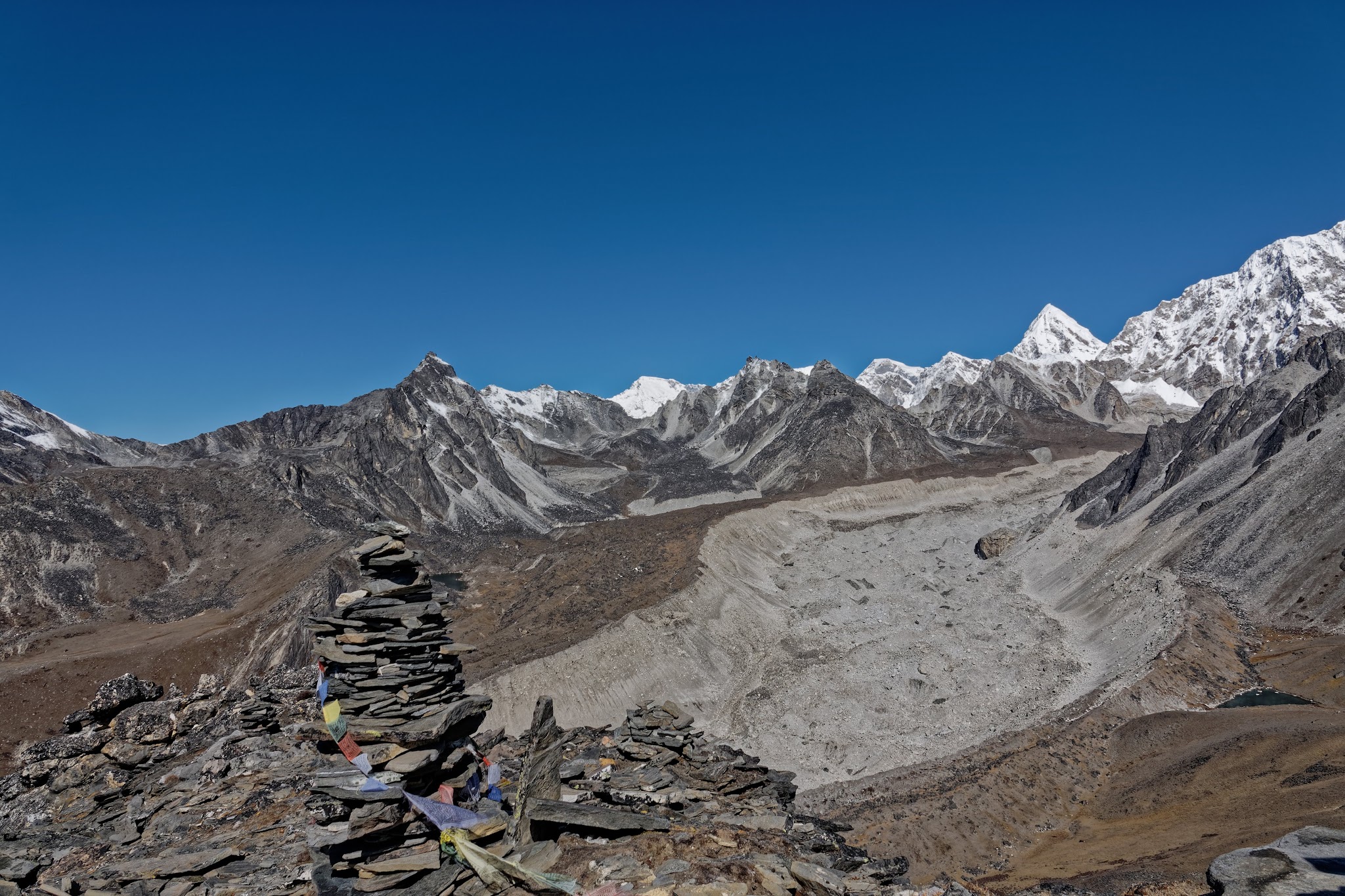
Nuptse Glacier, or what it left behind.

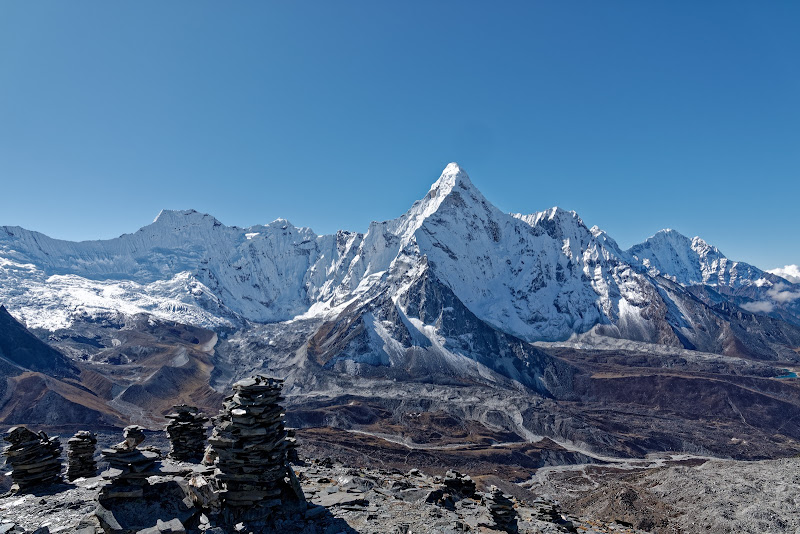
Ama Dablam and to the left Pama Dablam.

Makalu (8463m) and Island Peak, a trekking summit.
Thamserku (6608m) in the middle and Karyolung (behind Namche) to the right.
Tengboche again.
Dingboche.
Three Passes, three parts of the story...