3. Cho La to Lukla
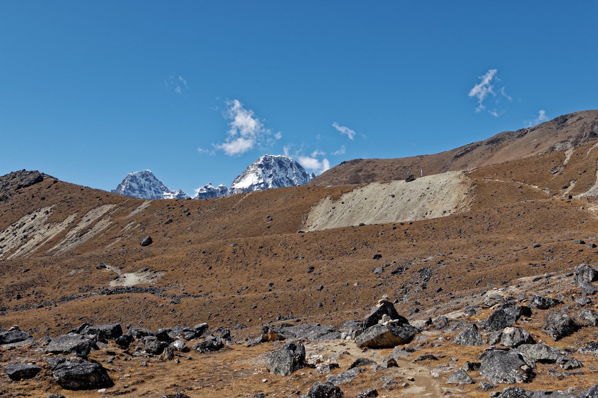
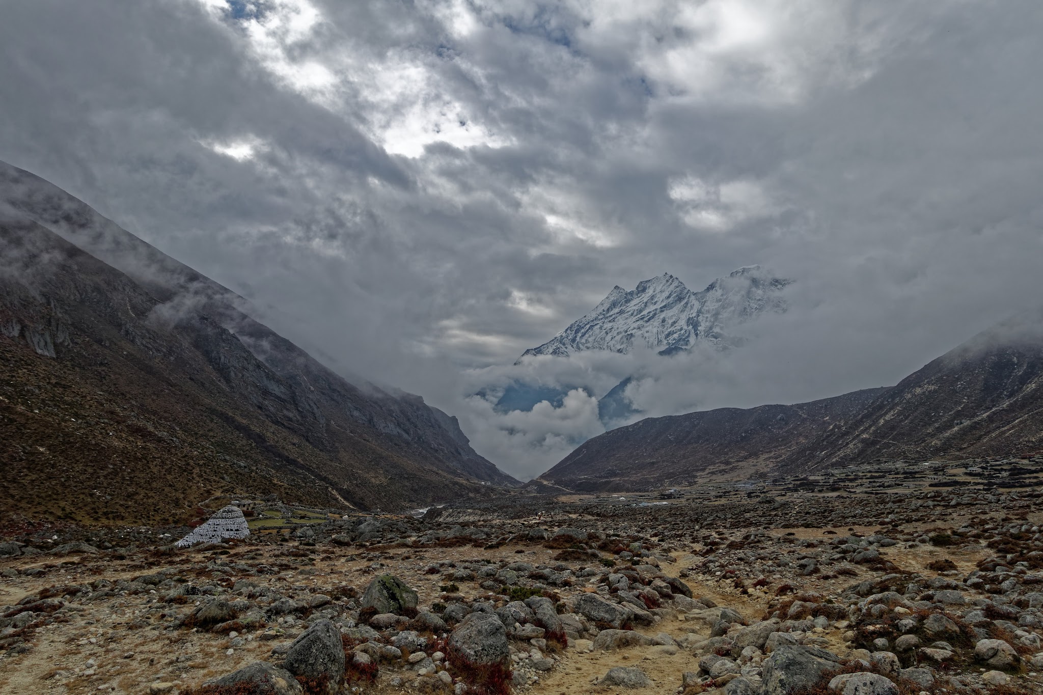
Next morning Cho La: in good weather conditions you can cross the Cho La with no specialist equipment, but warm clothing is essential. The first stage is a gentle stroll as the trail runs east past a series of ominous-looking black boulders beneath the looming peak of Cholatse. At any stage on this walk, you can turn around to see Ama Dablam (6856m) framed perfectly at the end of the valley.
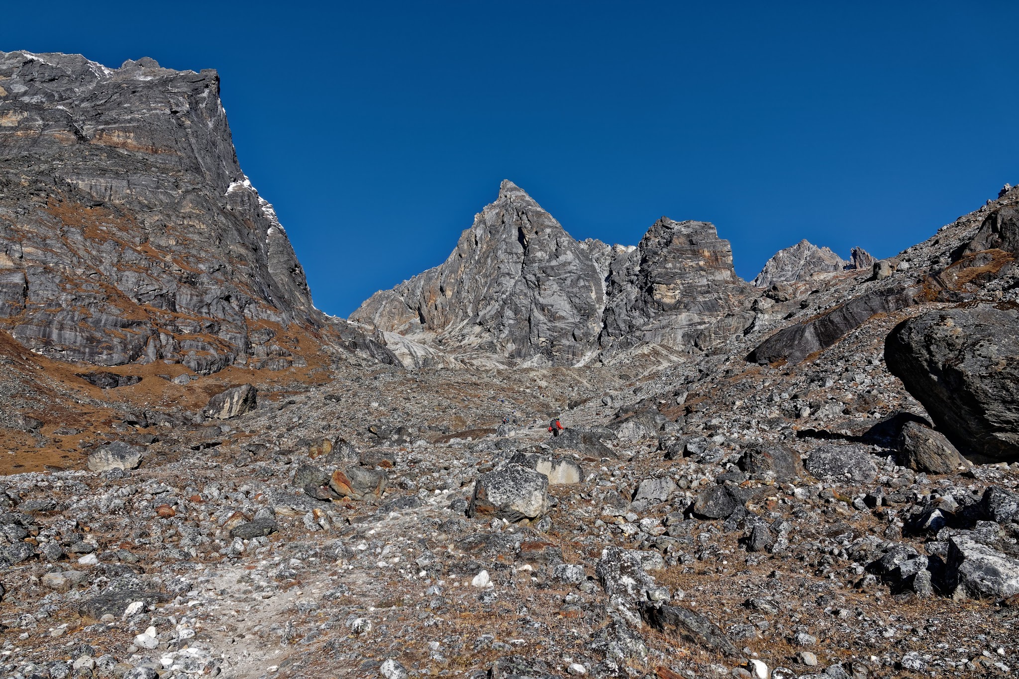
Your destination is a low point on the rock wall at the end of the valley, but the route only becomes apparent as you approach the face. After crossing several streams, the trail rises, passing to the right of two claw-shaped peaks. Make a steep, exhilarating scramble over boulders wedged against the edge of a soaring granite buttress. As you gain the ridge, the broken face of the Cho La Glacier rises ahead.
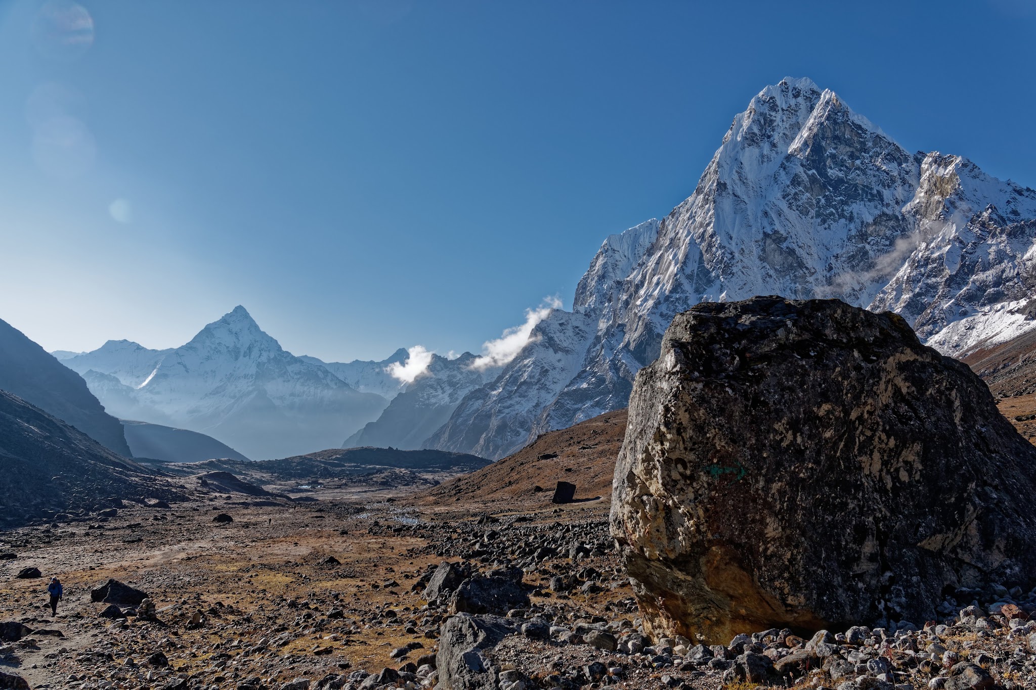
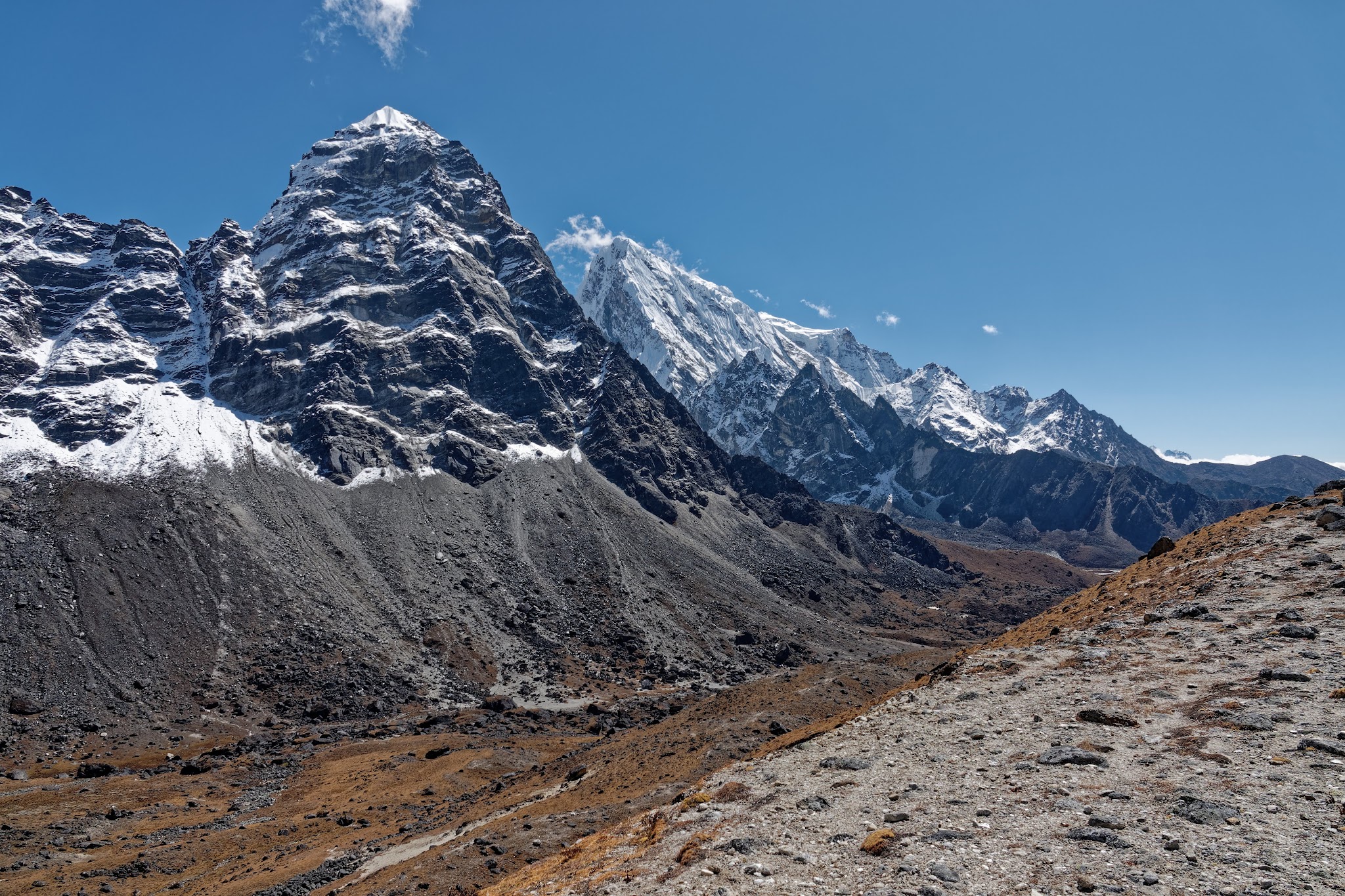
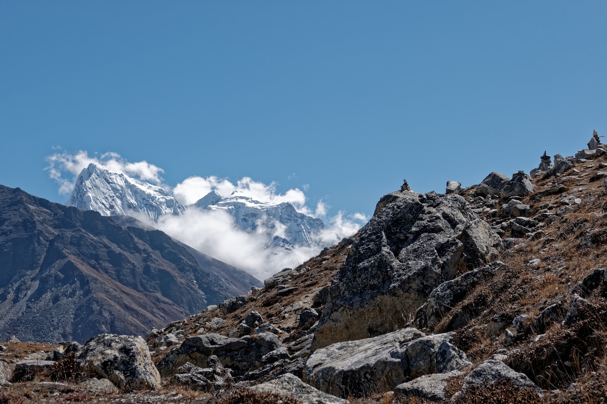
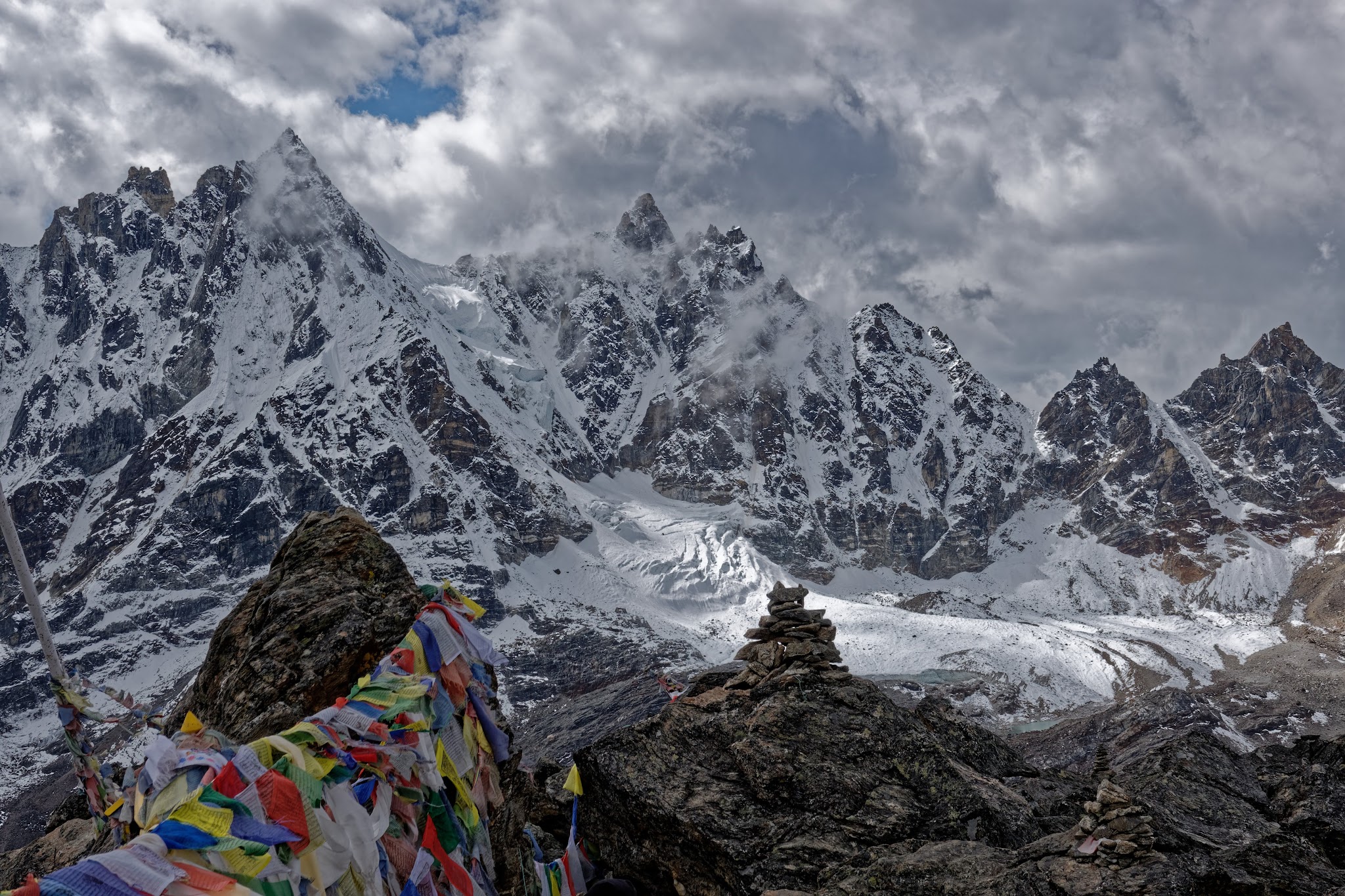
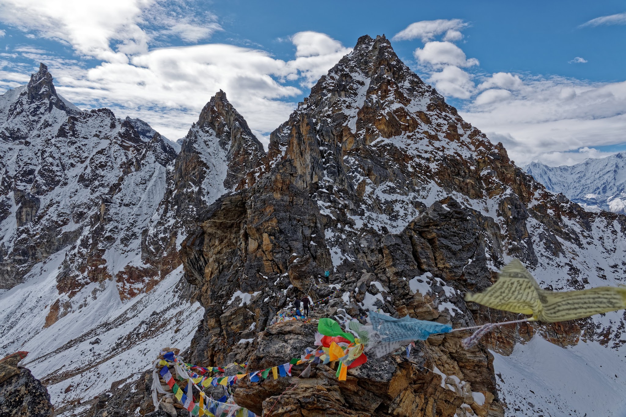
Unless there is fresh snow, you can pick out the route across the icefall using the footprints of other trekkers. Eventually, about three hours after setting off, you will reach Cho La (5420m), marked by a tangle of prayer flags at the edge of the glacier. From here, there are vertigo-inducing views southeast toward Cholatse and Ama Dablam and west towards the Ngozumpa Glacier, Pharilapche (6017m) and Kyajo Ri (6186m). The descent into the Gokyo Valley is long and tedious, crossing a seemingly endless scree slope that is a minefield of loose stones and hidden ice. Look for the small stone cairns that mark the way.
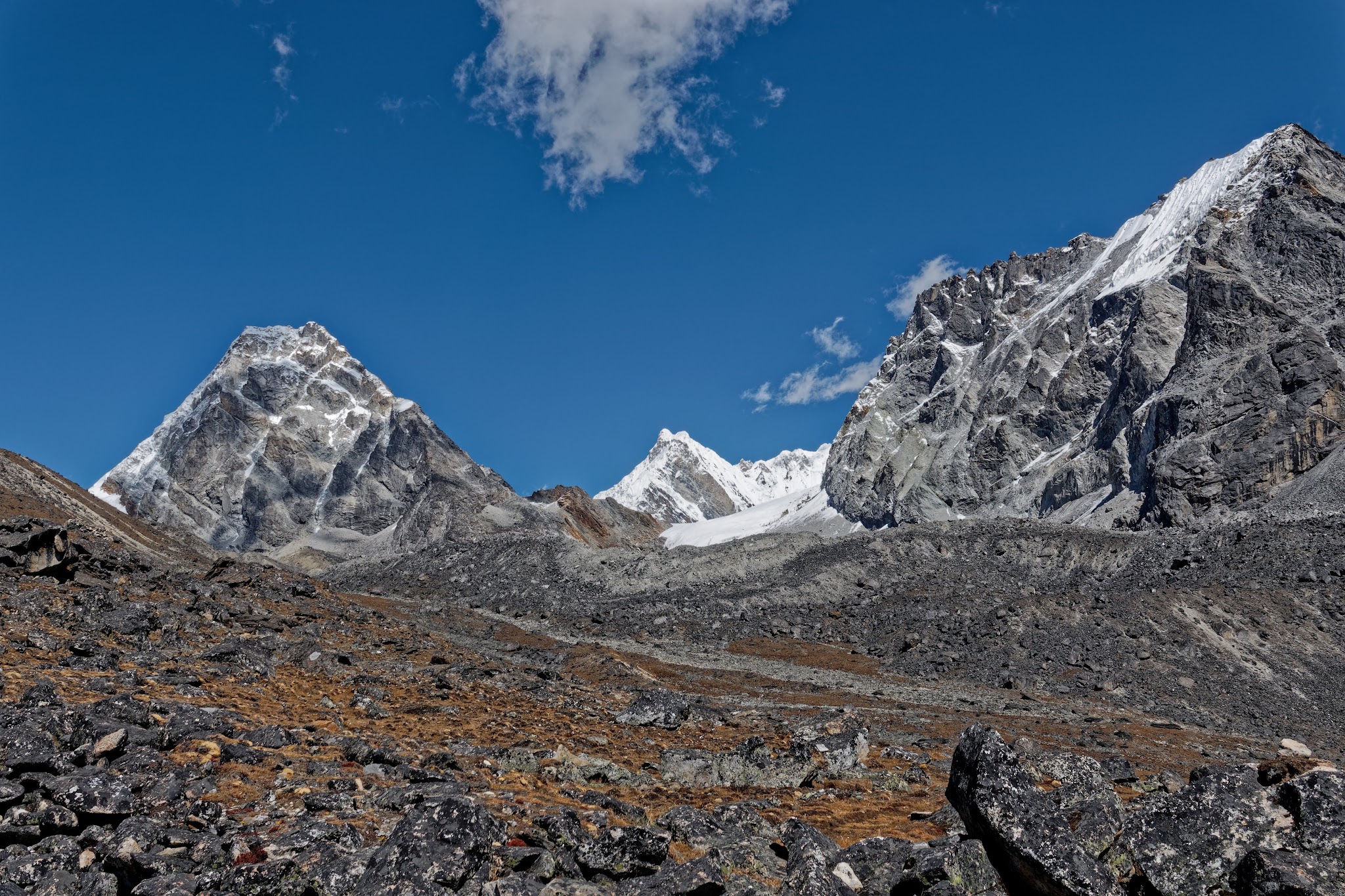
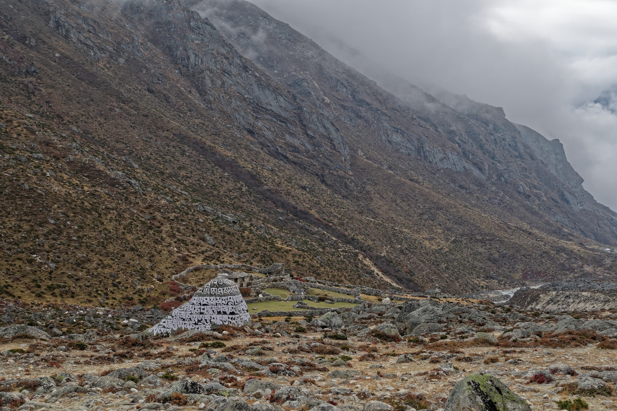
After what seems like an age, you’ll reach the grassy hillside below the rockfall. It’s an easy walk on to Tagnag (Dragnag; 4700m). The landscape gets greener and the temperature warmer as you drop through a narrow gorge to the edge of the village.
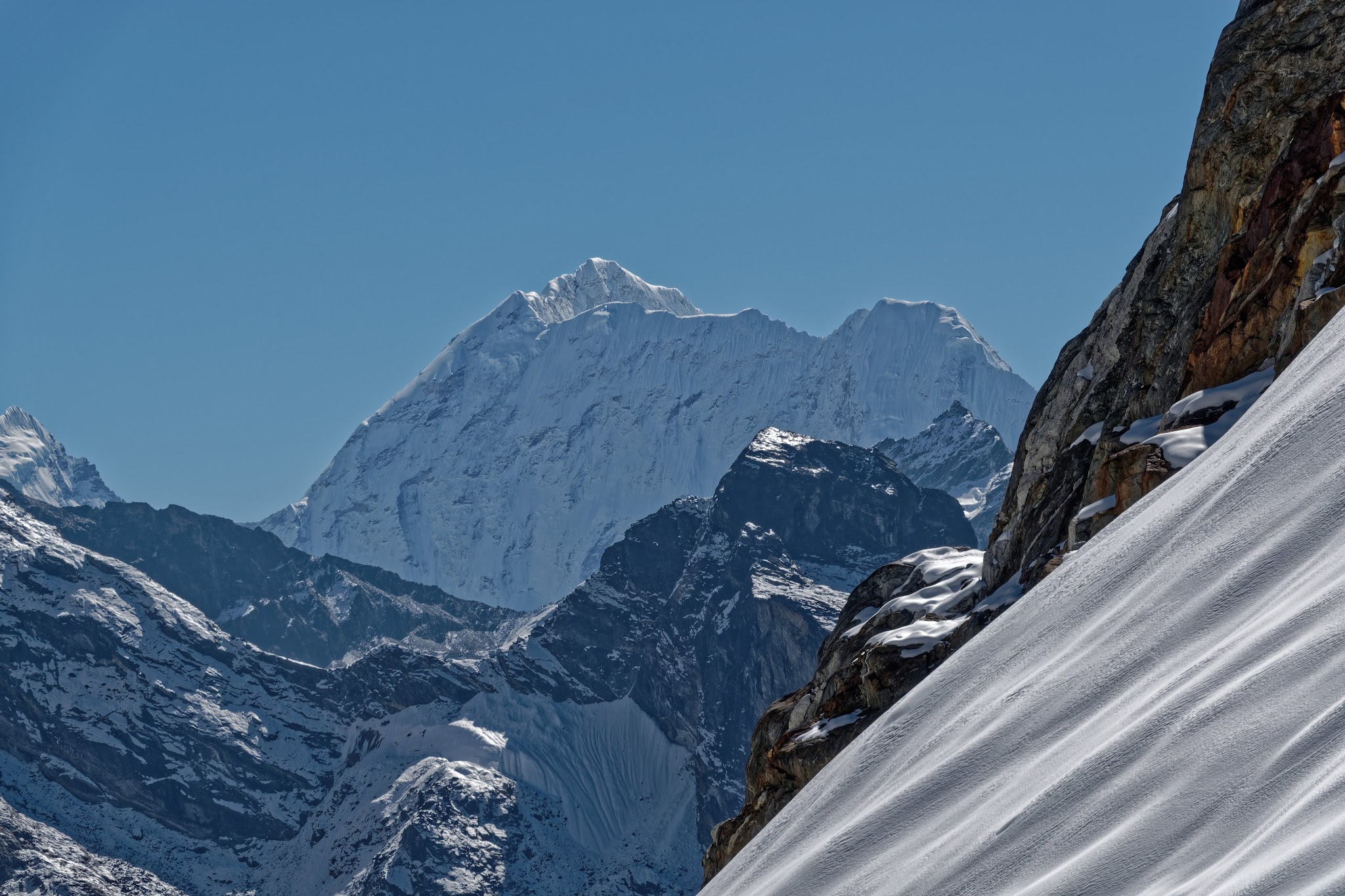
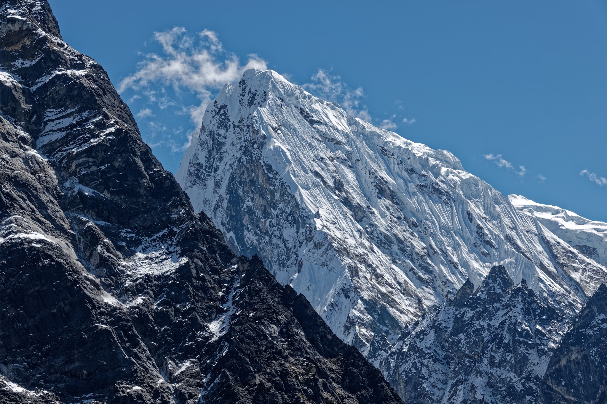
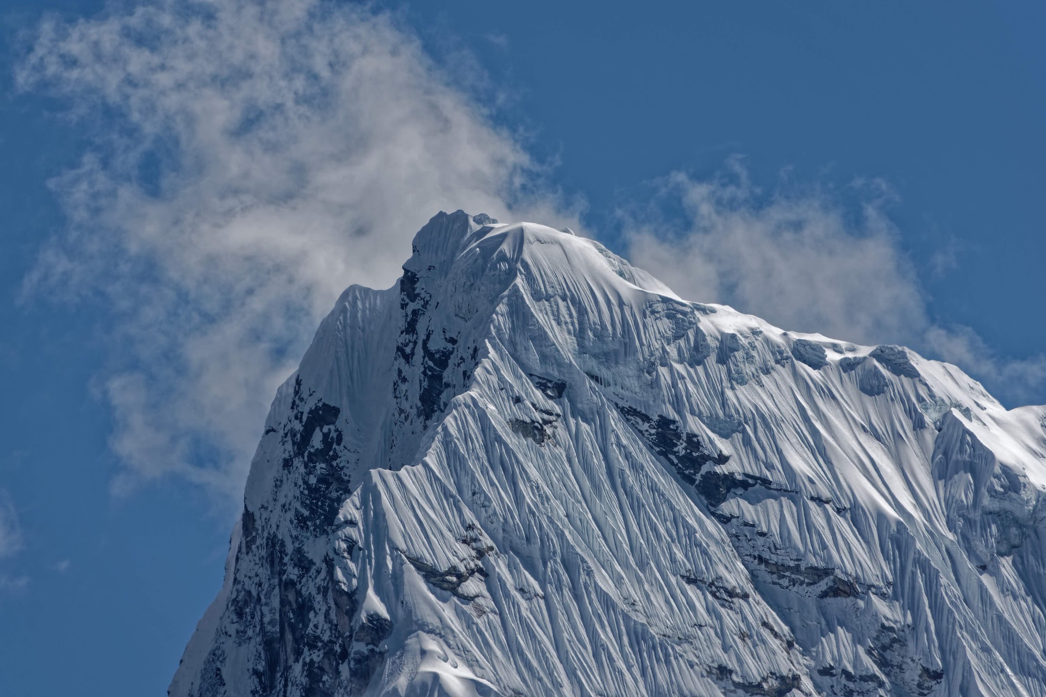
Ama Dablam to the left in the background.

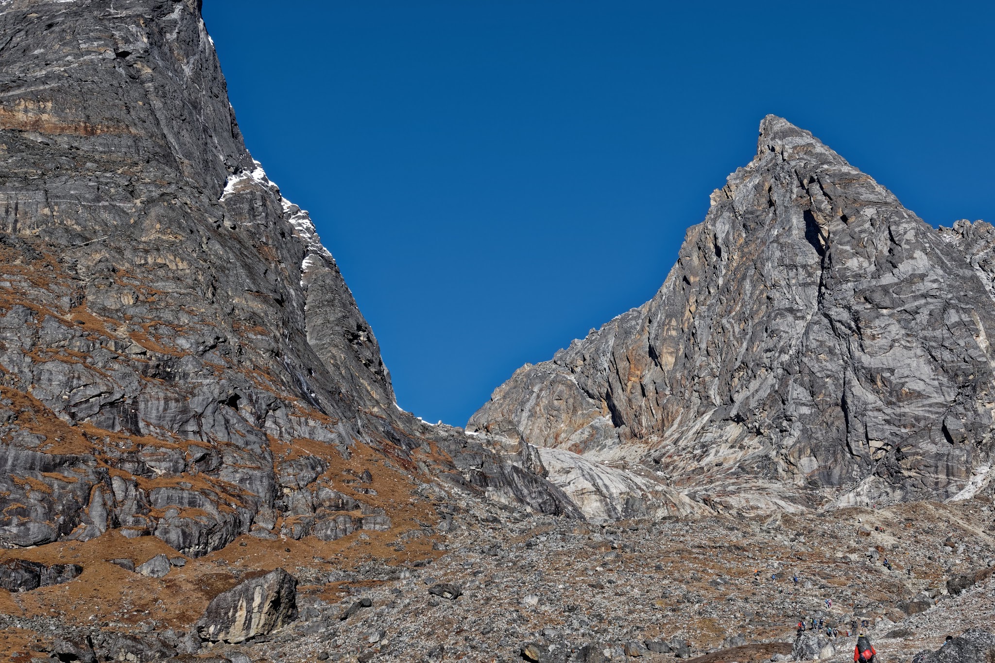
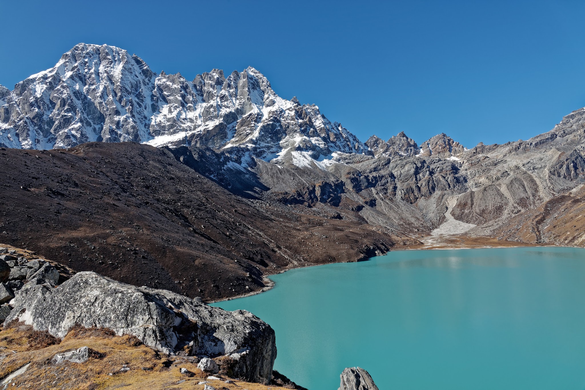
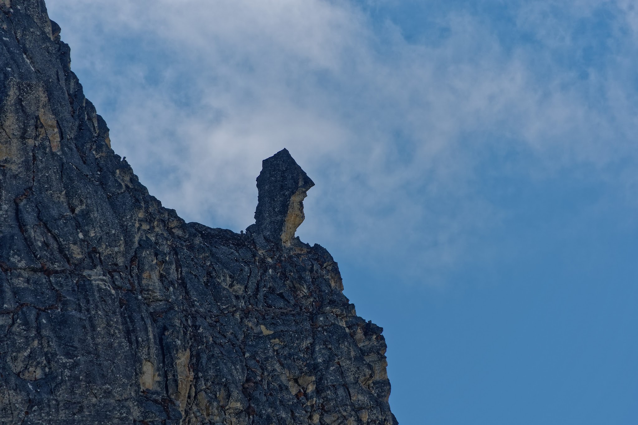
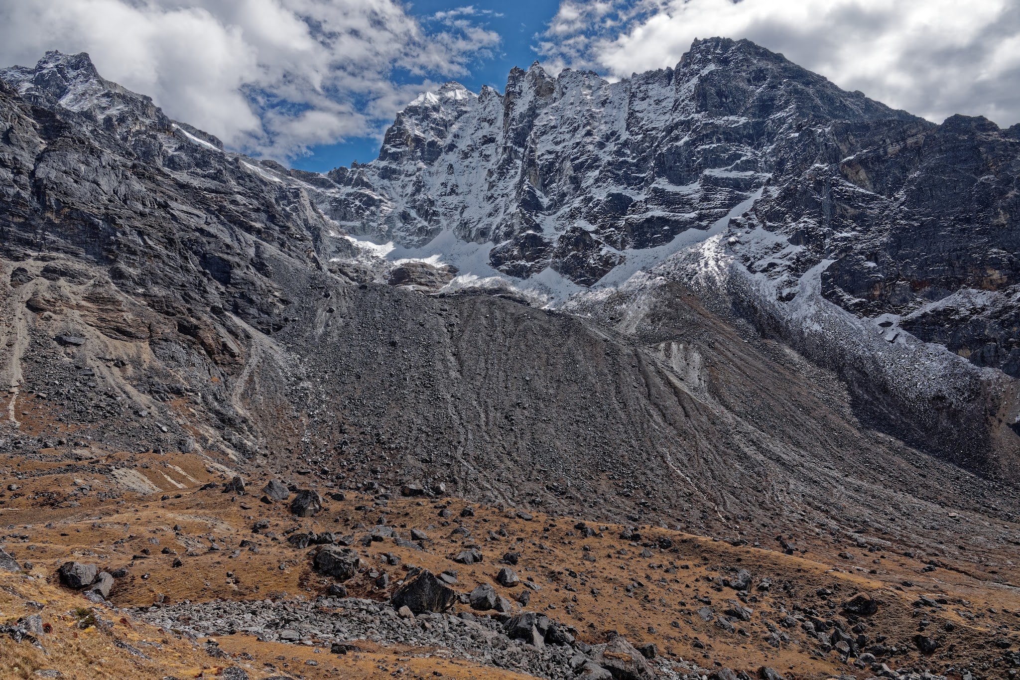
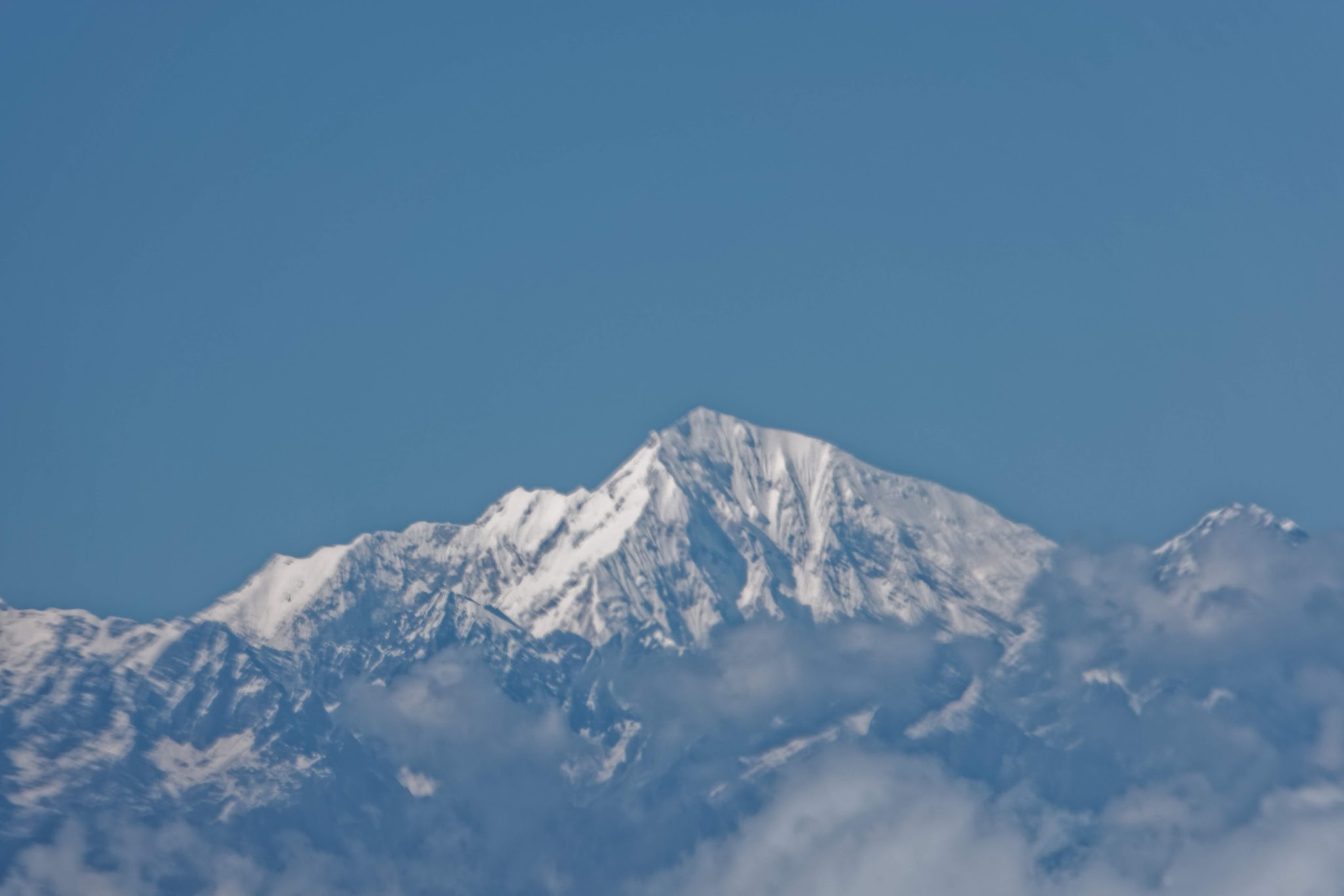
Cho La pass, to the left Lobuche Peak West, the needle in the middle Lobuche Peak East and in the background Baruntse.
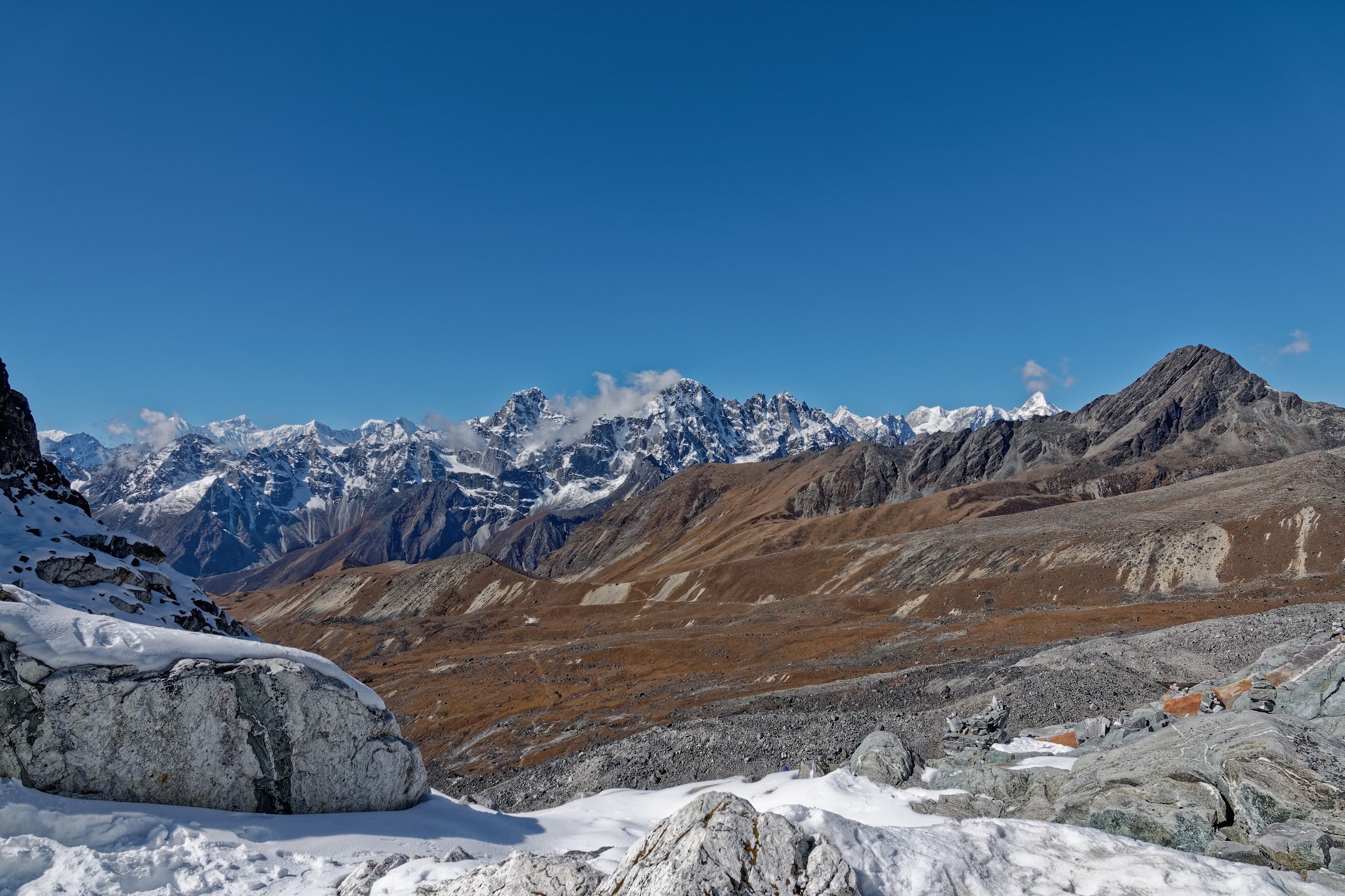
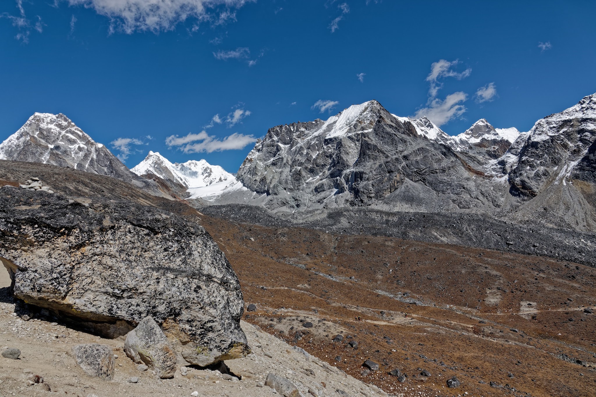
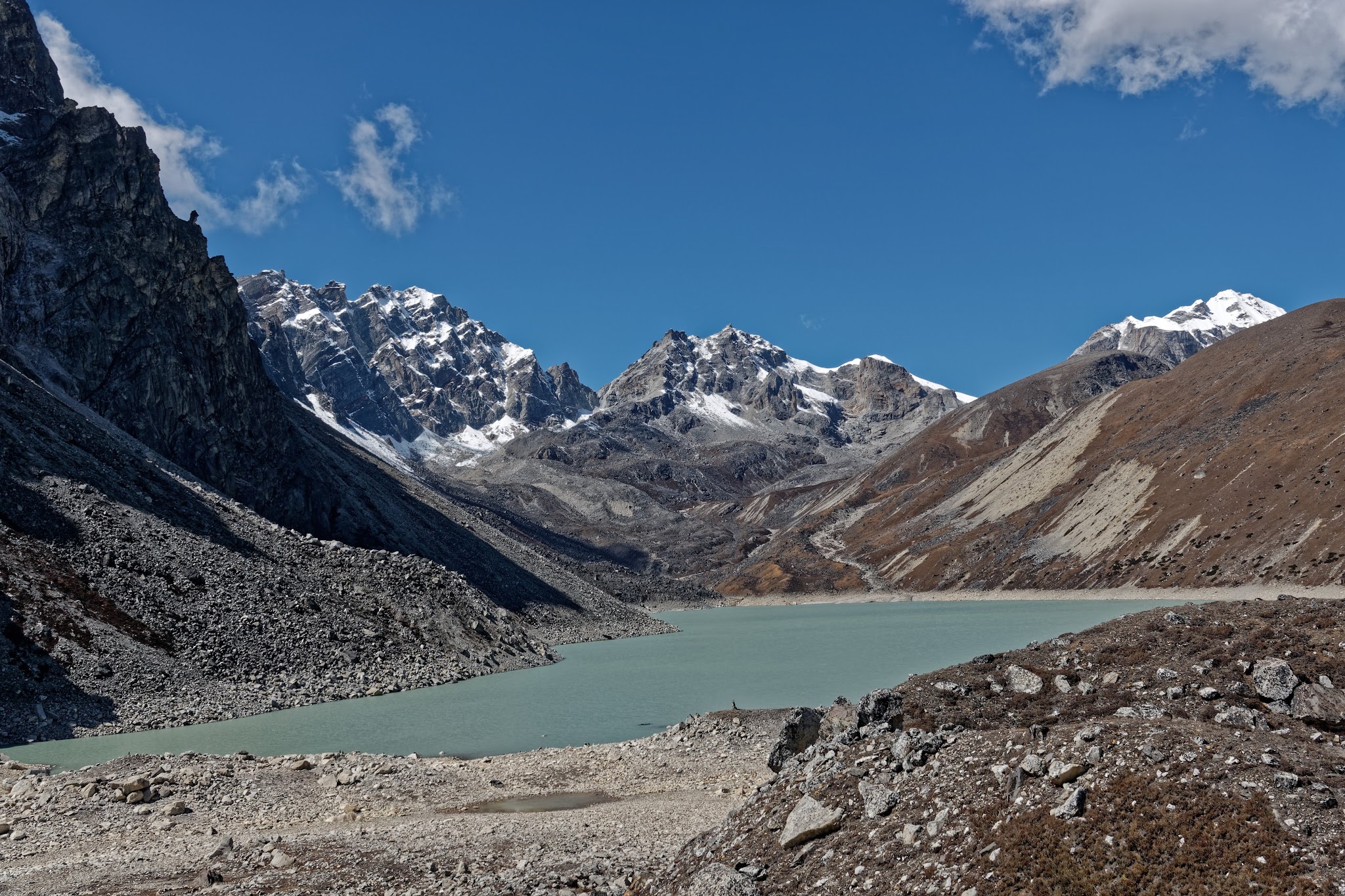
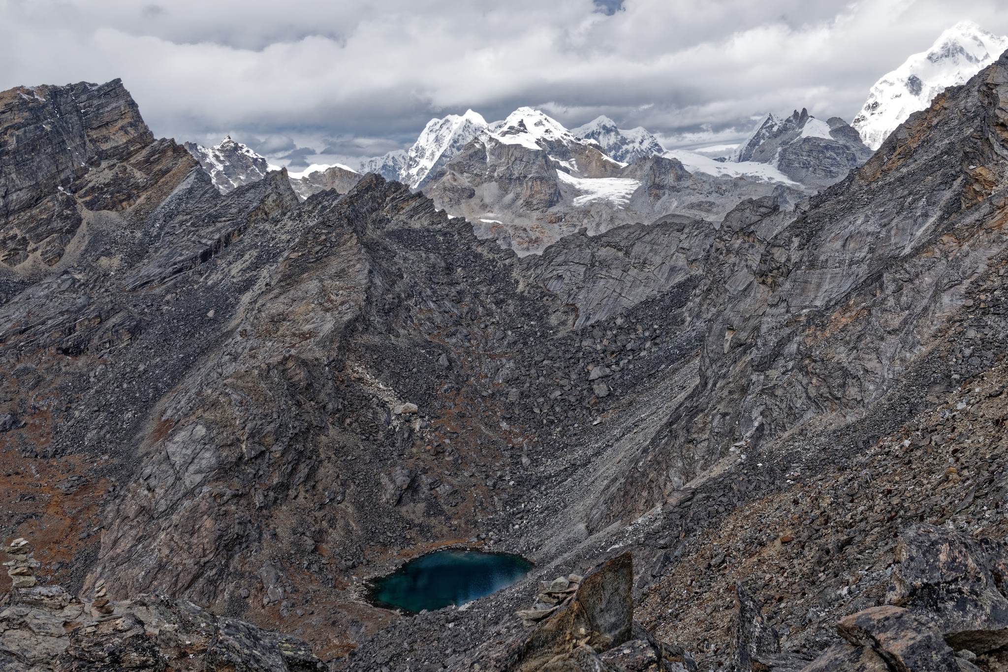
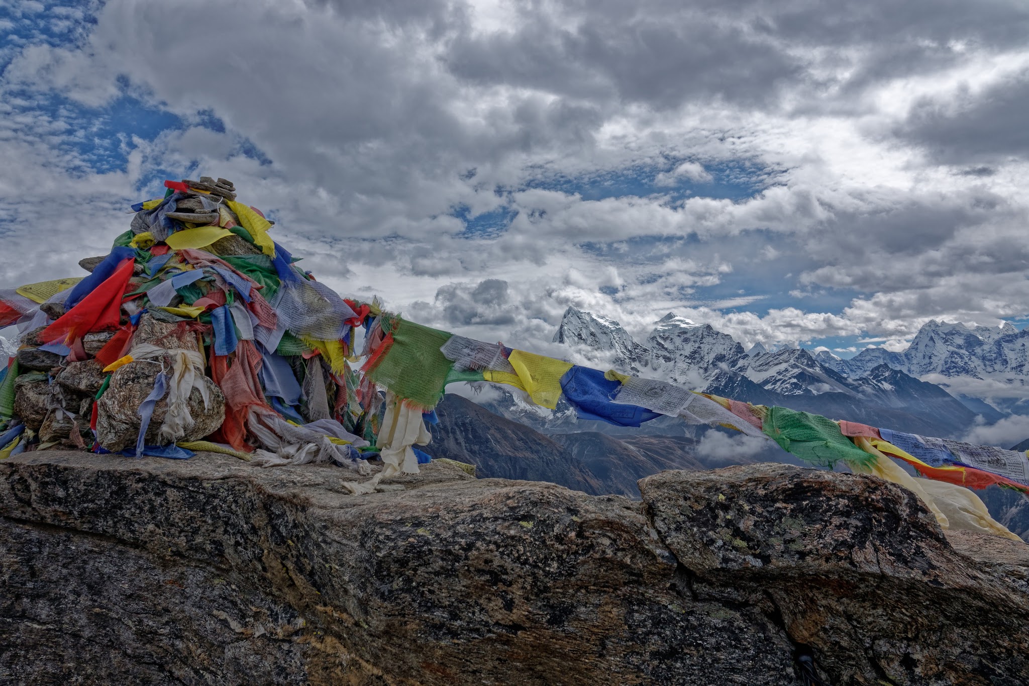
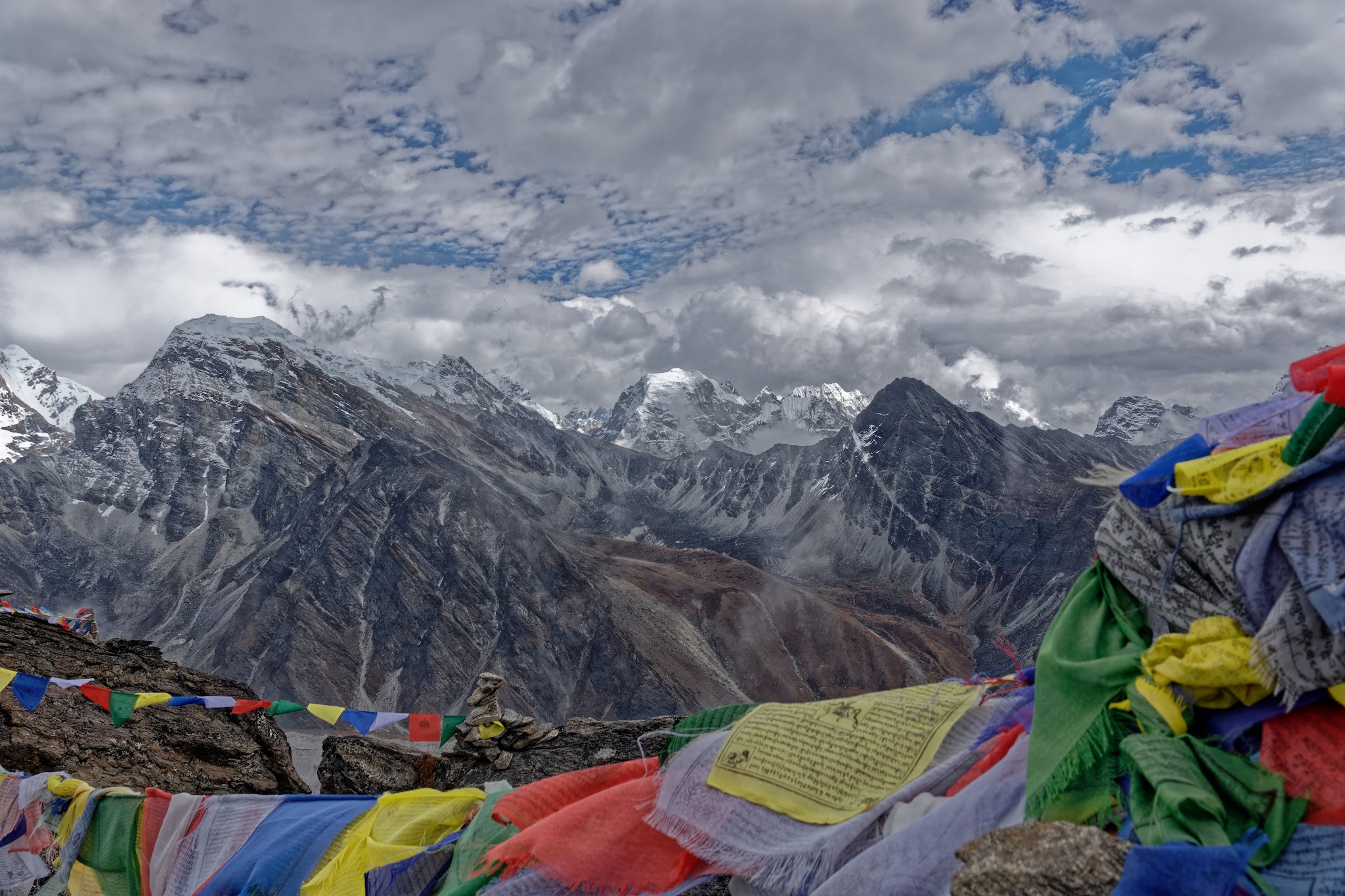
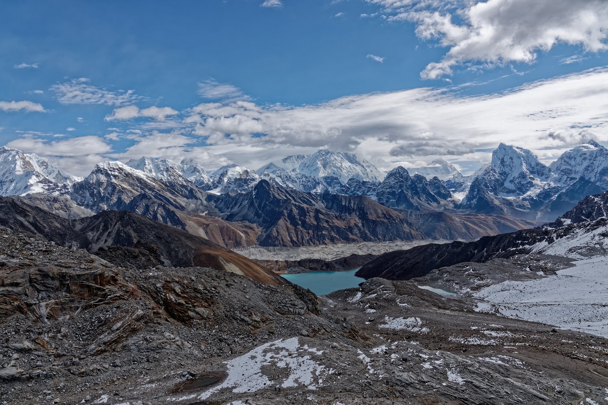
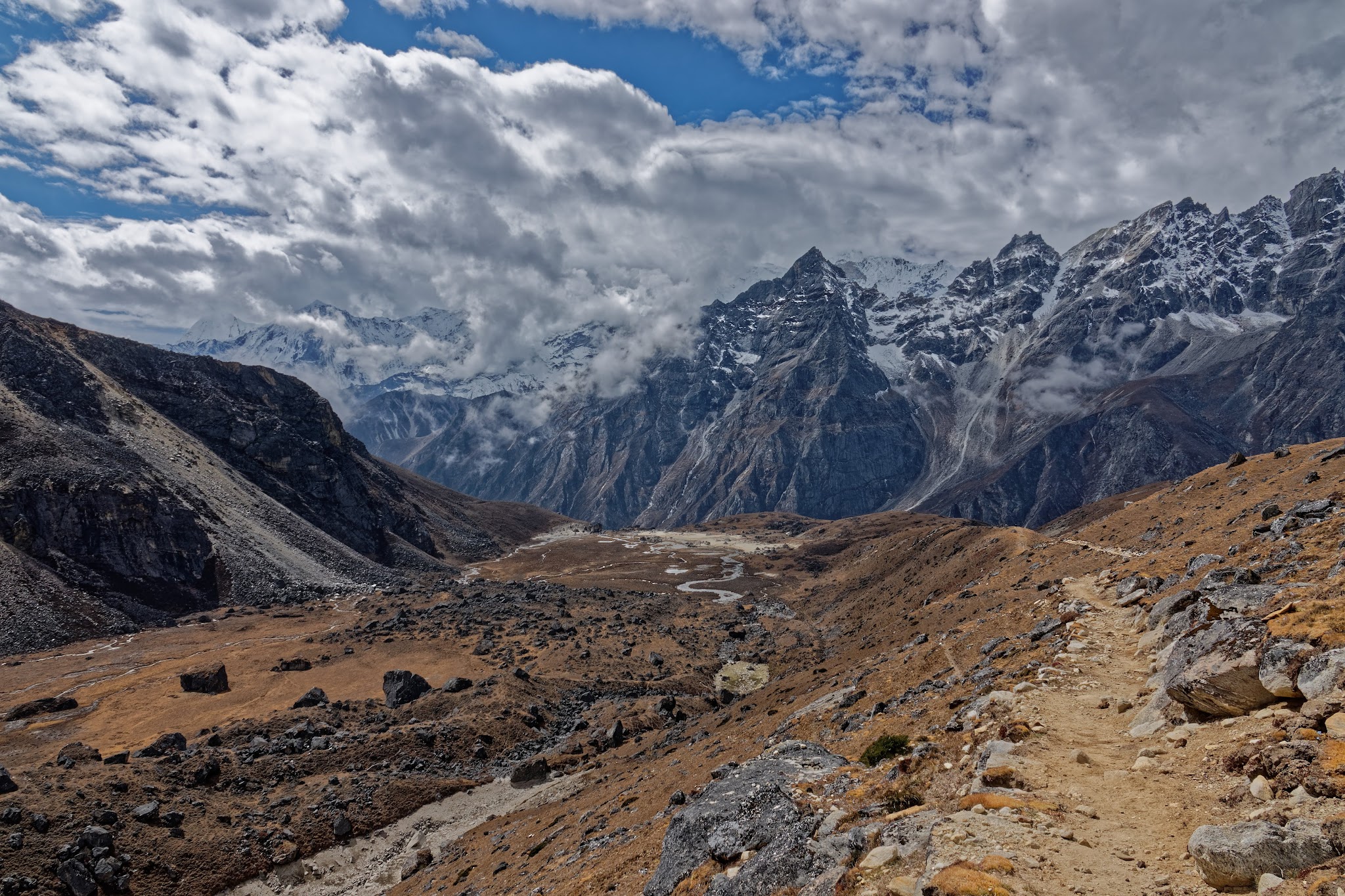
View from Cho La to southwest to the mountains of the Gokyo valley and to the six-thousanders at the border of the Shorong Himal and the Rolwaling Himal.
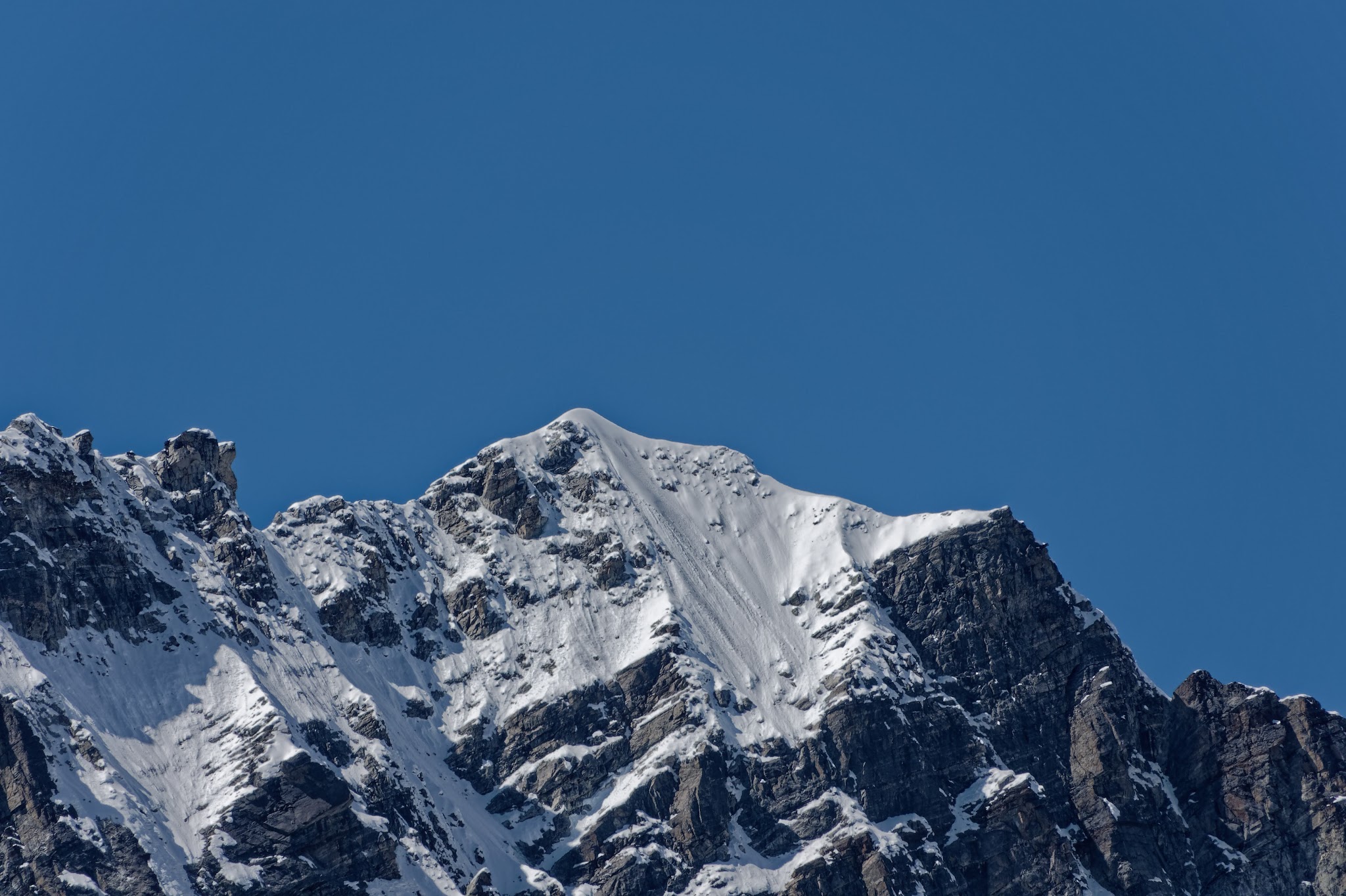
Baruntse (7152m).
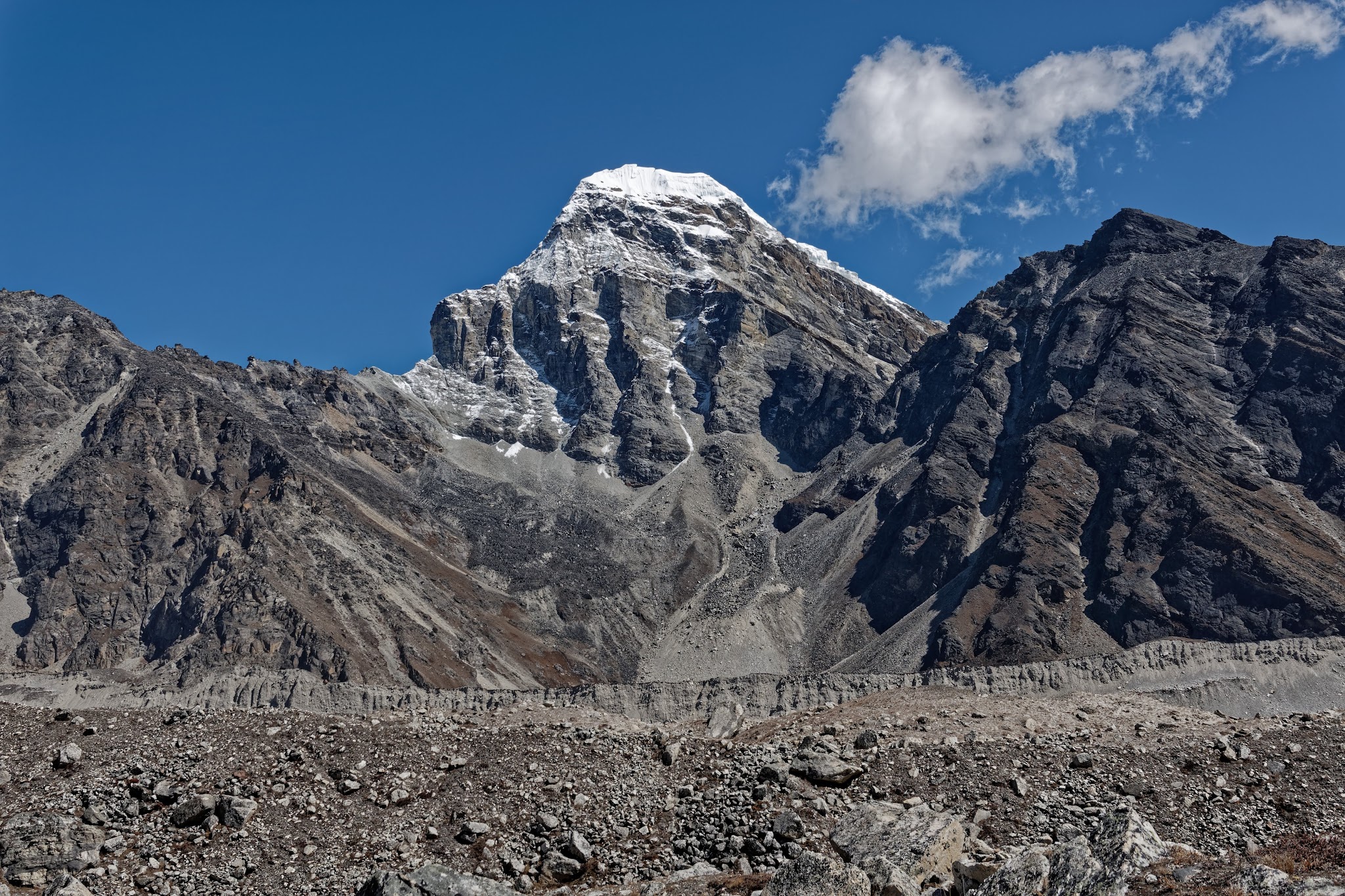
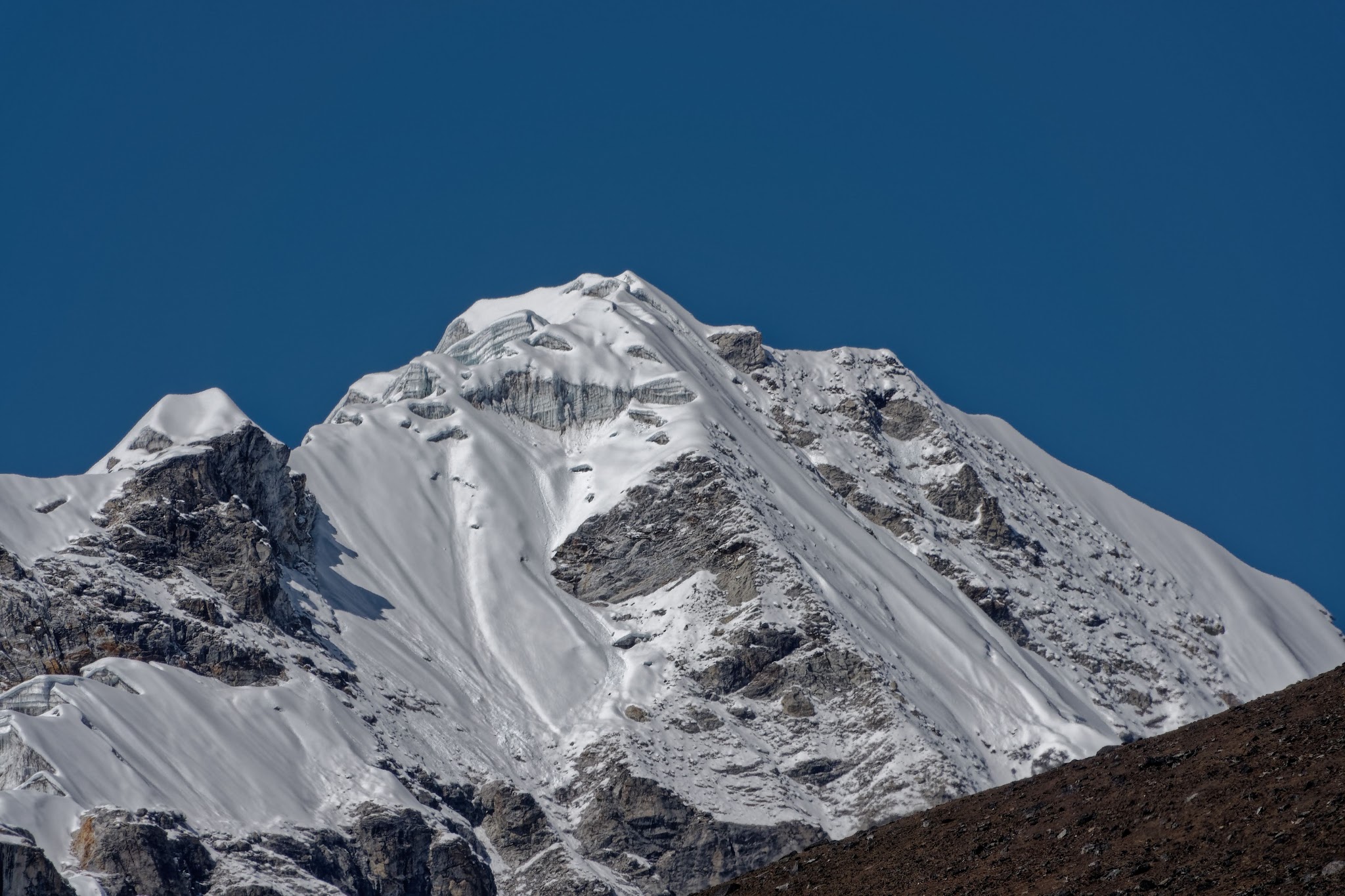
Lobuche Peak East

Lobuche Peak West


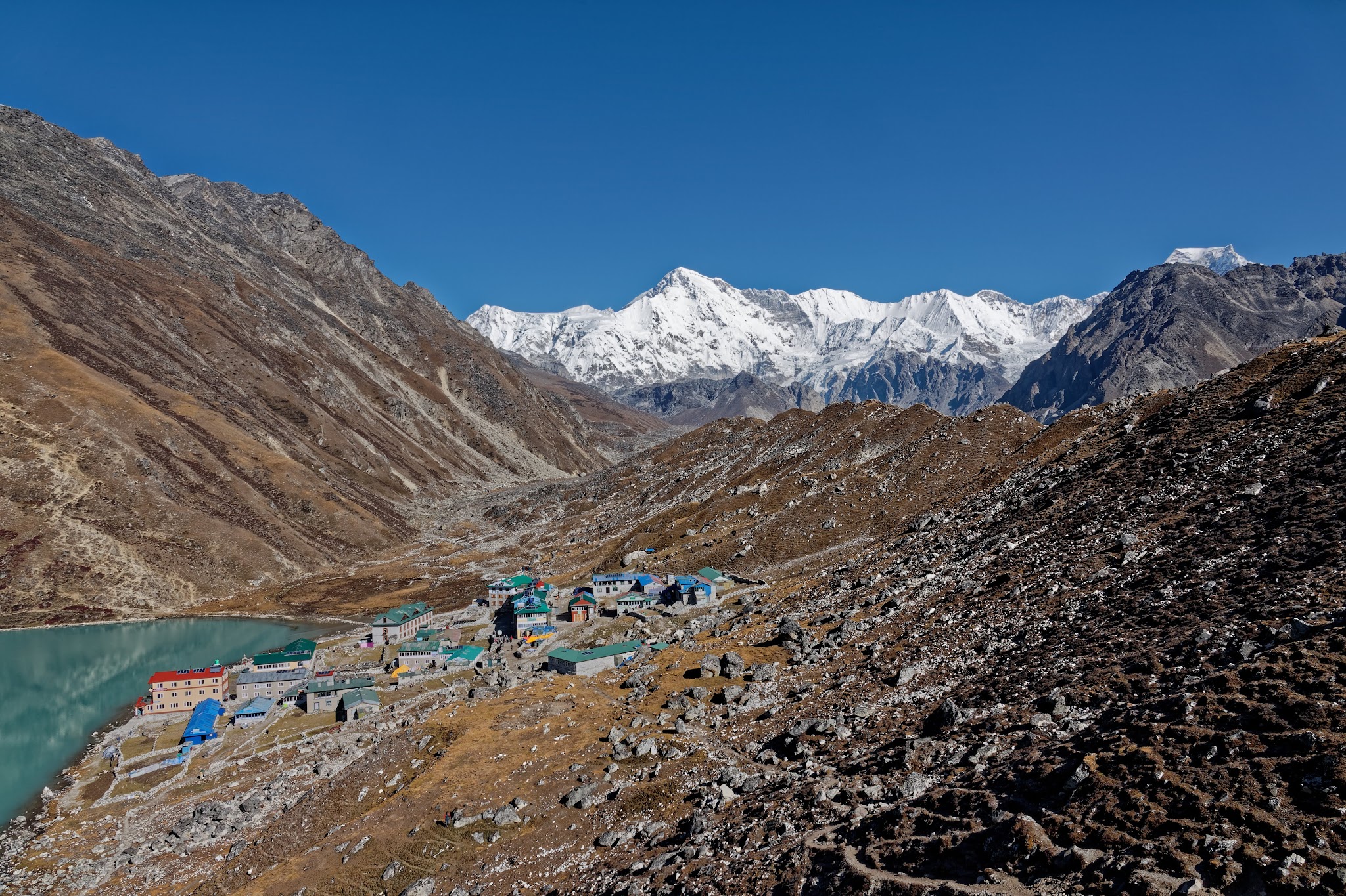
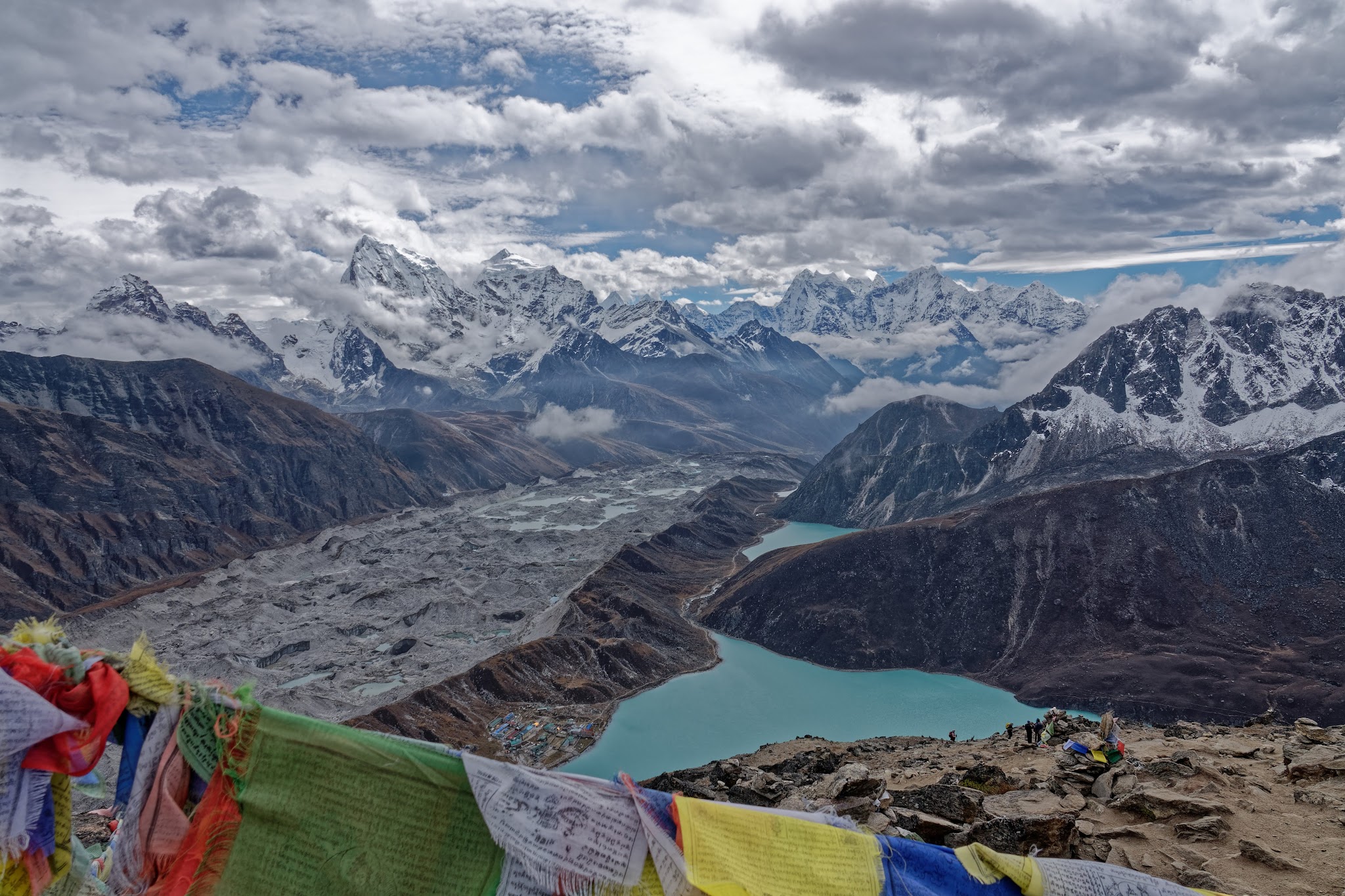
Early next morning to Gokyo and its lakes.
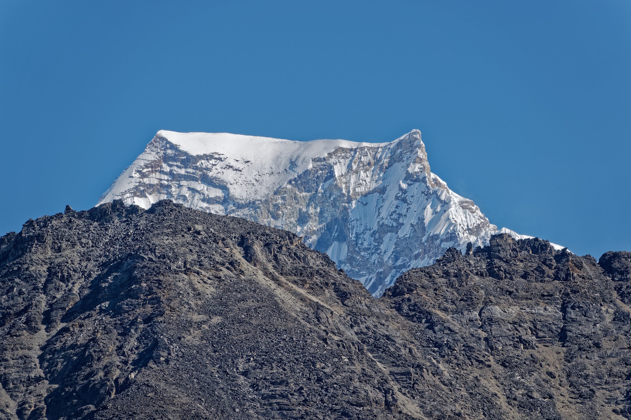
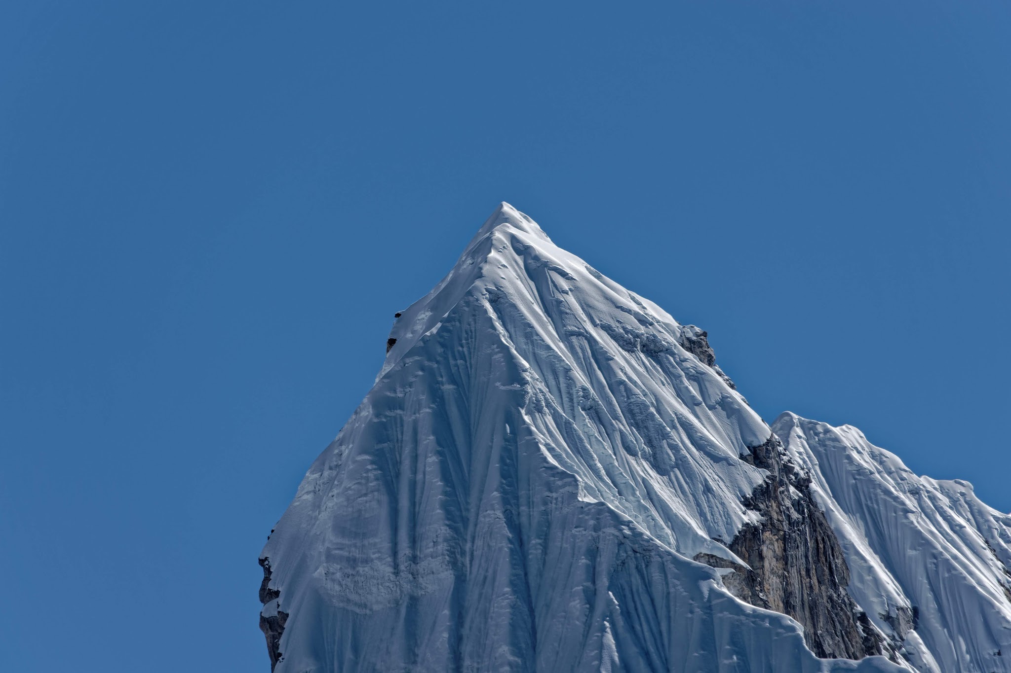
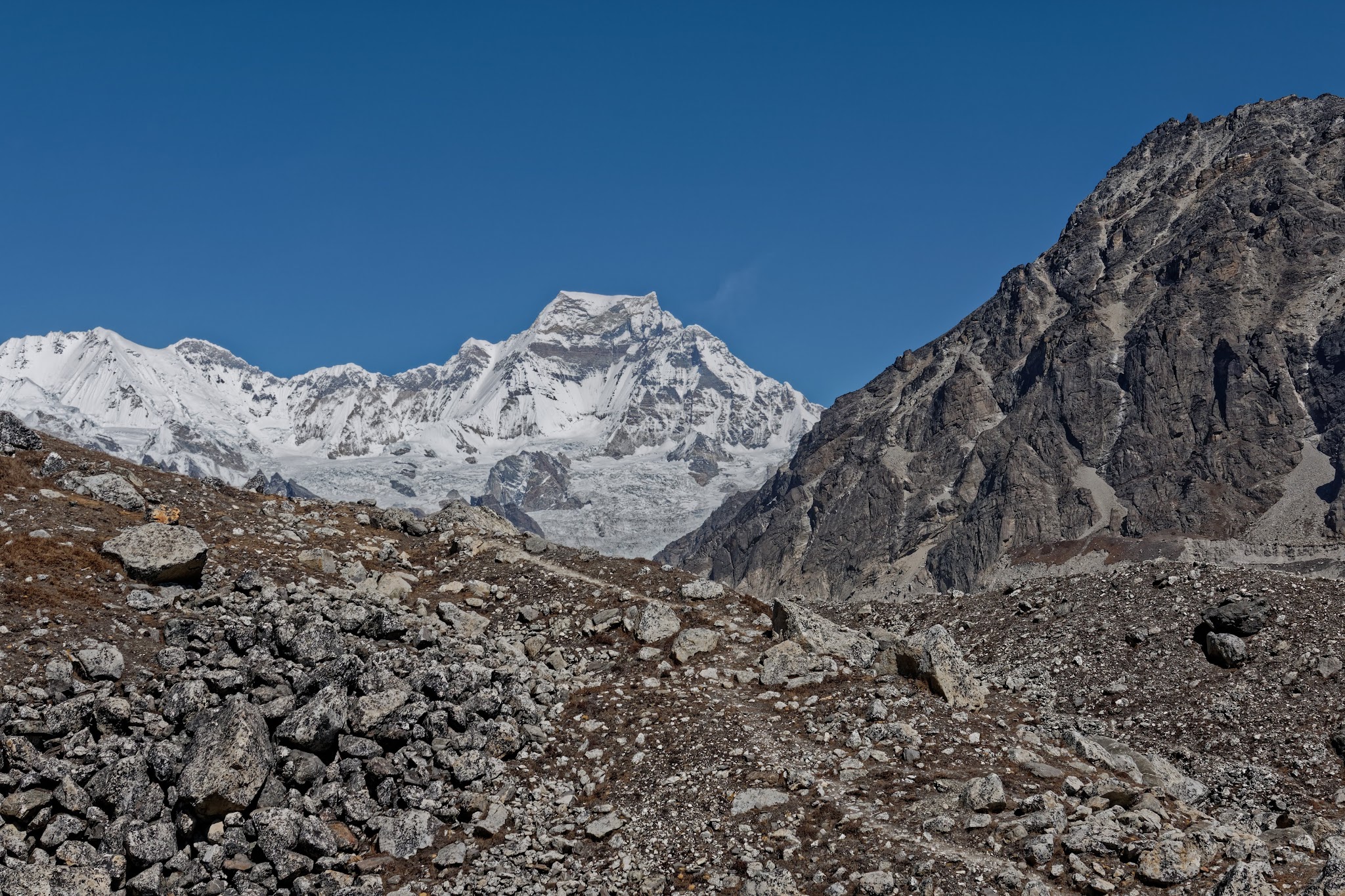
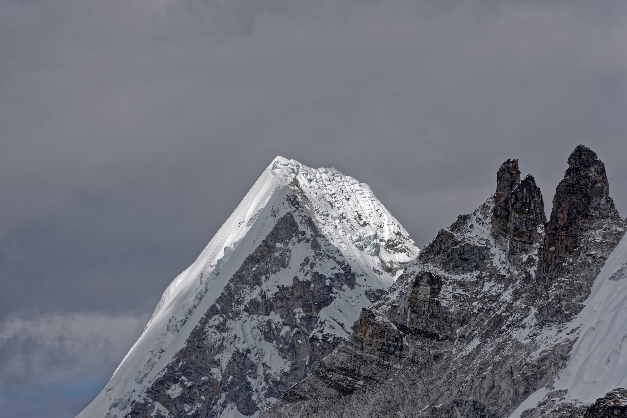
Gyachung Kang (7952m).
Afternoon stroll to other Gokyo Lakes.
View from Gokyo Ri to the northwest to the peaks of Nangpa La. The Phasang Lhamu Chuli (far right) is named after the Sherpani Phasang Lhamu, who was the first Neplesian woman to reach the summit of Mount Everest on April 22, 1993. She died during the descent near the southern summit after she tried in vain to help one of her male colleagues who also died. Beyond the Phasang Lhamu Chuli (formerly Jasamba) lies the famous border pass Nangpa La, over which a small trade between Tibet and Nepal is occasionally permitted. Foreigners are generally not allowed to cross this pass.
View from Gokyo Ri to southwest to Renjo La (5417m) and Tengi Ragi Tau (6938m). On this picture, beyond the pass is the valley of the Bhote Koshi, the westernmost valley of the Khumbu region, which leads from the village of Thame up north to the Nangpa La. The Tengi Ragi Tau is located on the border between the Khumbu region and the Rolwaling Himal. Immediately south of the Tengi Ragi Tau is the high pass Trashi Labtsa.
View from Gokyo Ri to south-southeast. From Gokyo Ri one looks in vain for the centrally located and spectacular Ama Dablam. She is standing right behind the Cholatse (first from the left). Next to the right near Cholatse: Taboche.
Again Cholatse, Taboche and in the middle at the back: Thamserku.
Phasang Lhamu Chuli
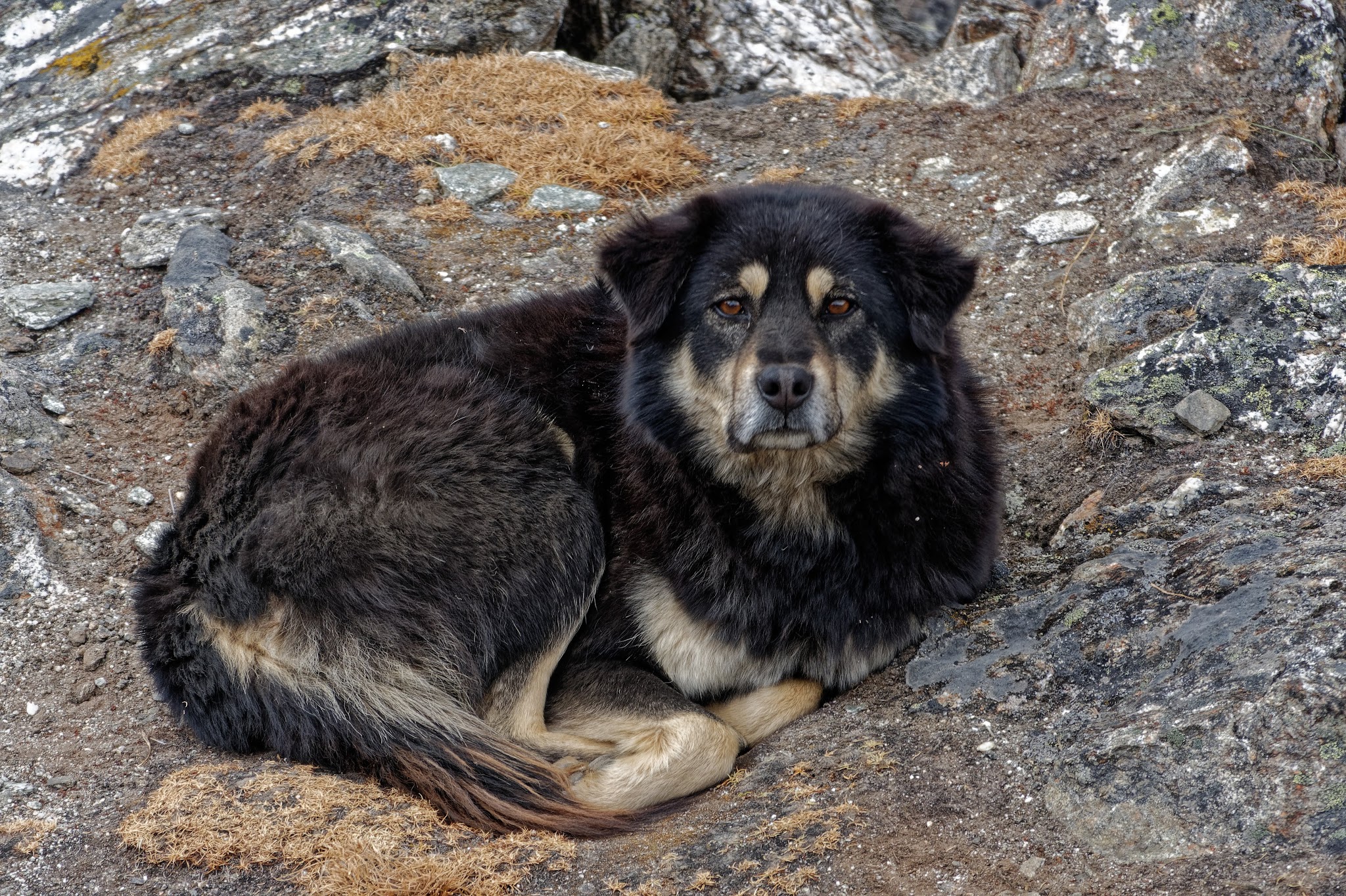
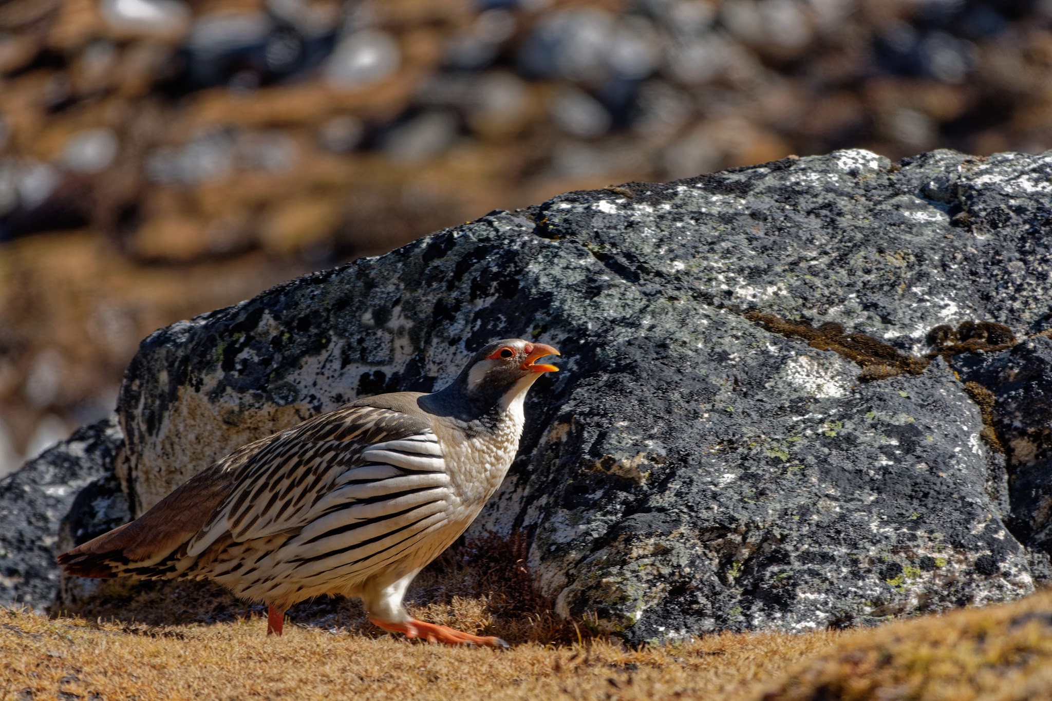
Dog.
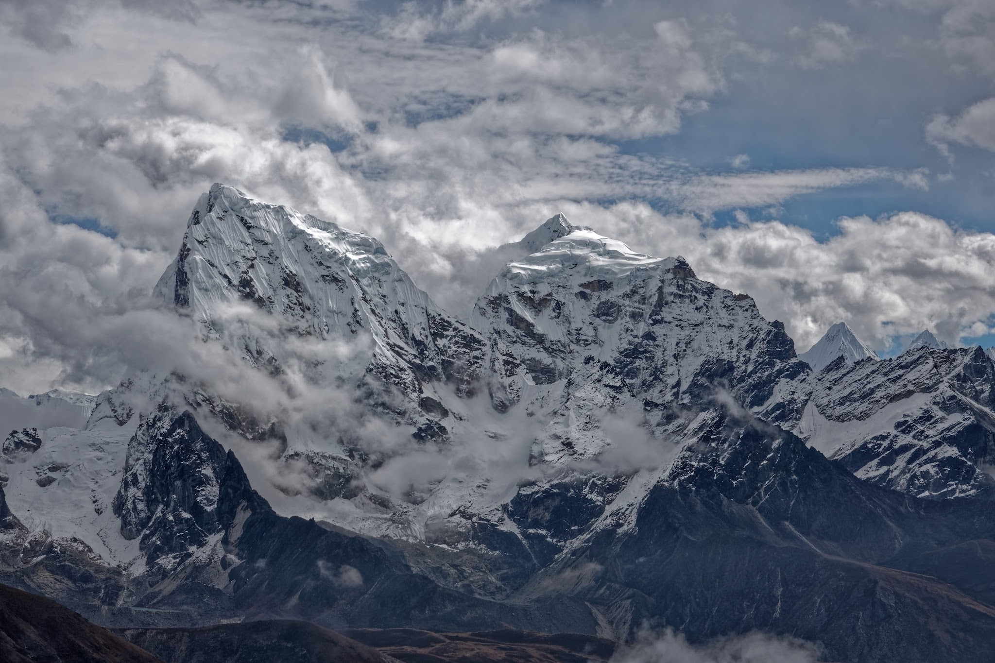
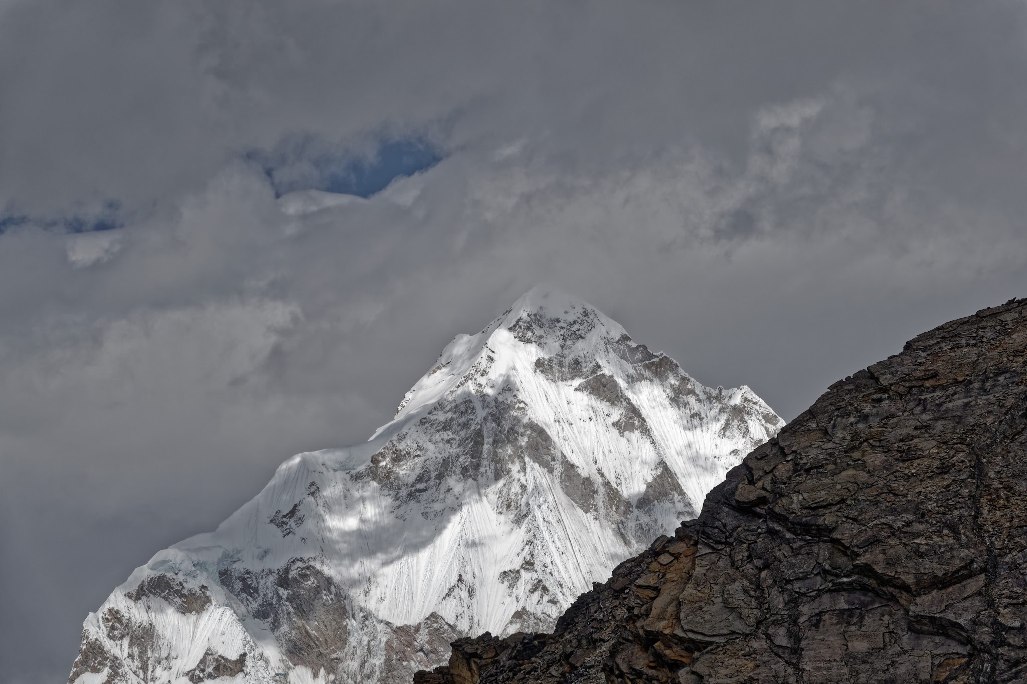
View from Gokyo Ri to the east with Mount Everest (8848m), Nuptse (7864m), Lhotse (8516m) and Makalu (8485m) (all behind clouds here, sorry).
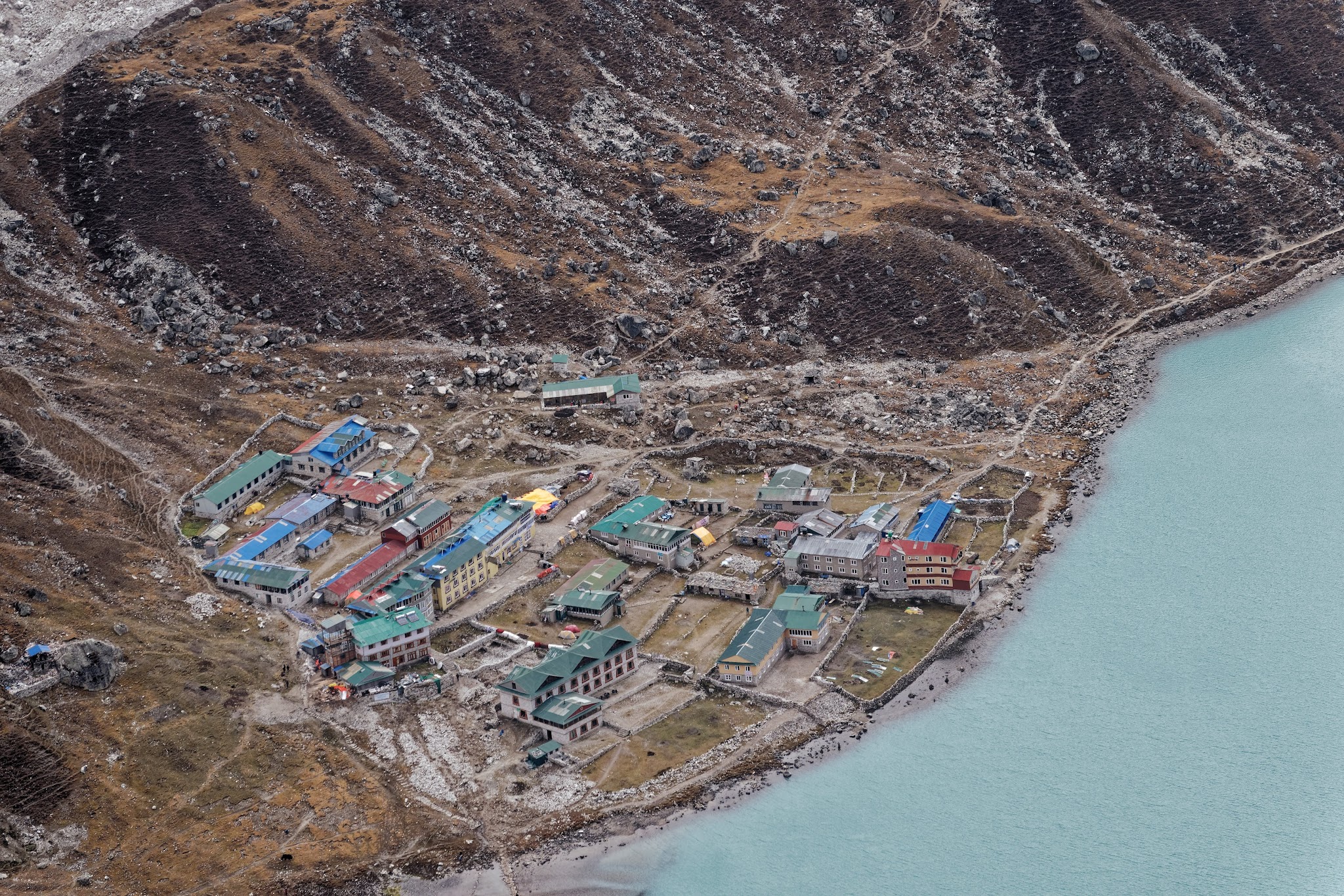
Gokyo.

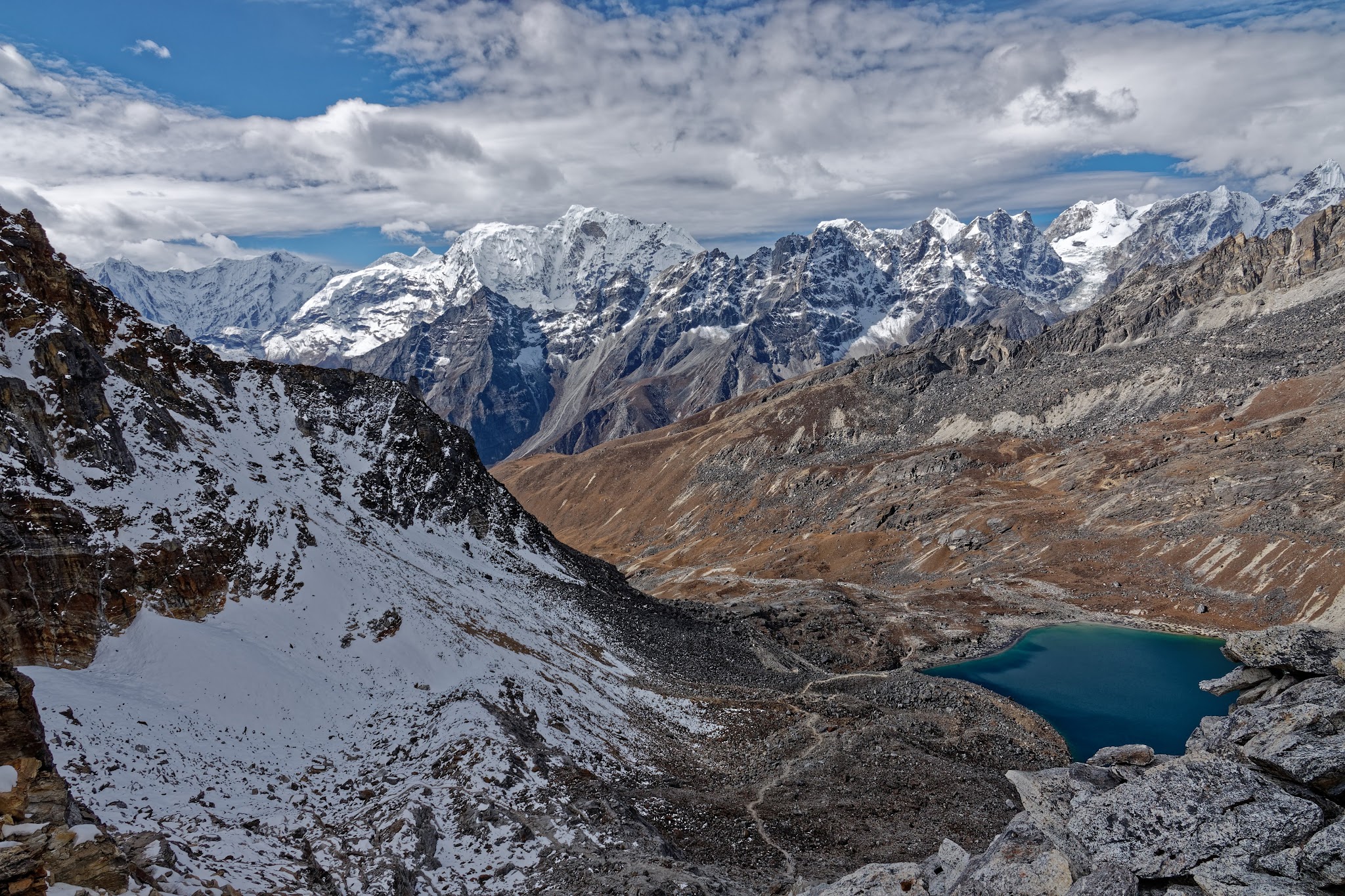
Next day Renja La. It takes two days to reach Thame from Gokyo and this route follows the edge of the Rolwaling region which was badly affected by the earthquake 2015. Before you set off from Gokyo, stand on the lakeshore and trace the route to the pass. The path climbs gently along the flank of Gokyo Ri and then zigzags precariously up a finger of grey scree above the northwest corner of the lake, crossing the ridge to the right of the pyramid-shaped peak. Start off on the trail to Gokyo Ri and take the lower path that climbs gently above the north shore of the lake. The next section climbs steeply, switching back and forth like a python with indigestion, before splitting into two paths that climb up into the large mountain bowl. In general the right path is easier to follow. The two paths join at the base of the ridge wall and then follow a giant 'S' path to reach the final section of steps that leads to the pass. About three hours after leaving Gokyo, you will gain the Renjo La (5345m), where an eye-popping vista awaits. If the skies are clear, you’ll see the rooftops of Gokyo glinting distantly on the shore of the lake beneath the grey smear of the Ngozumpa Glacier, and the sawtooth peaks of Everest, Nuptse, Lhotse, Cholatse, Taboche, Makalu and the Cho La.
Next morning: less clouds, but still no clear view to Mount Everest, Makalu on the right can be seen.

Gokyo again.


my bagpack.
Thats my way down.
gentle, easy to walk.


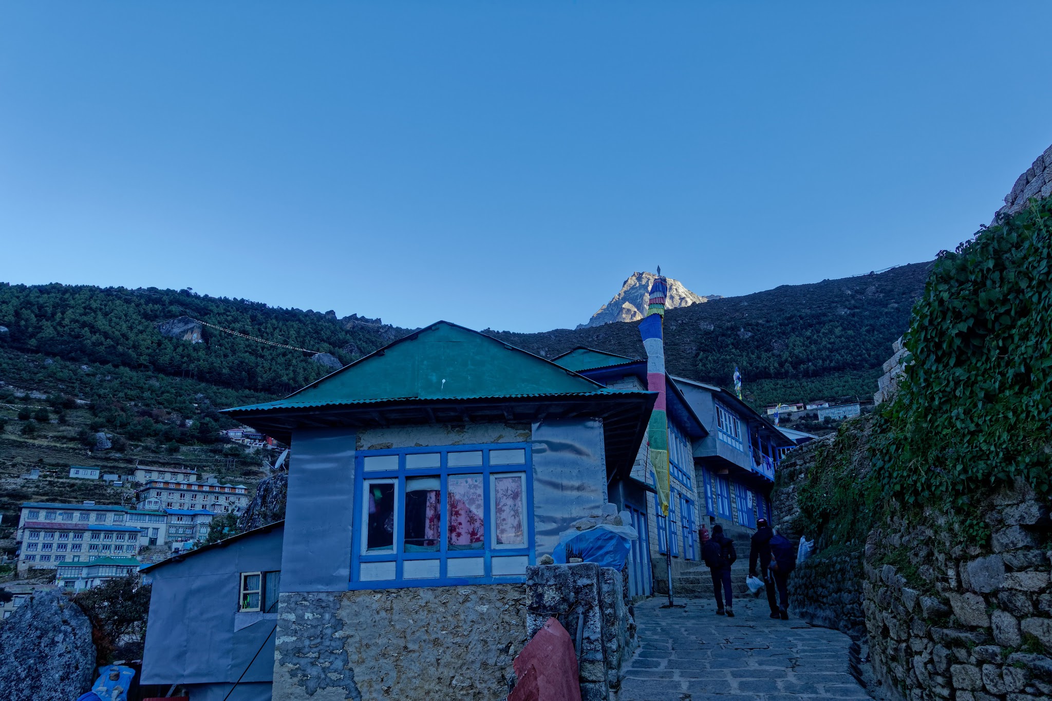
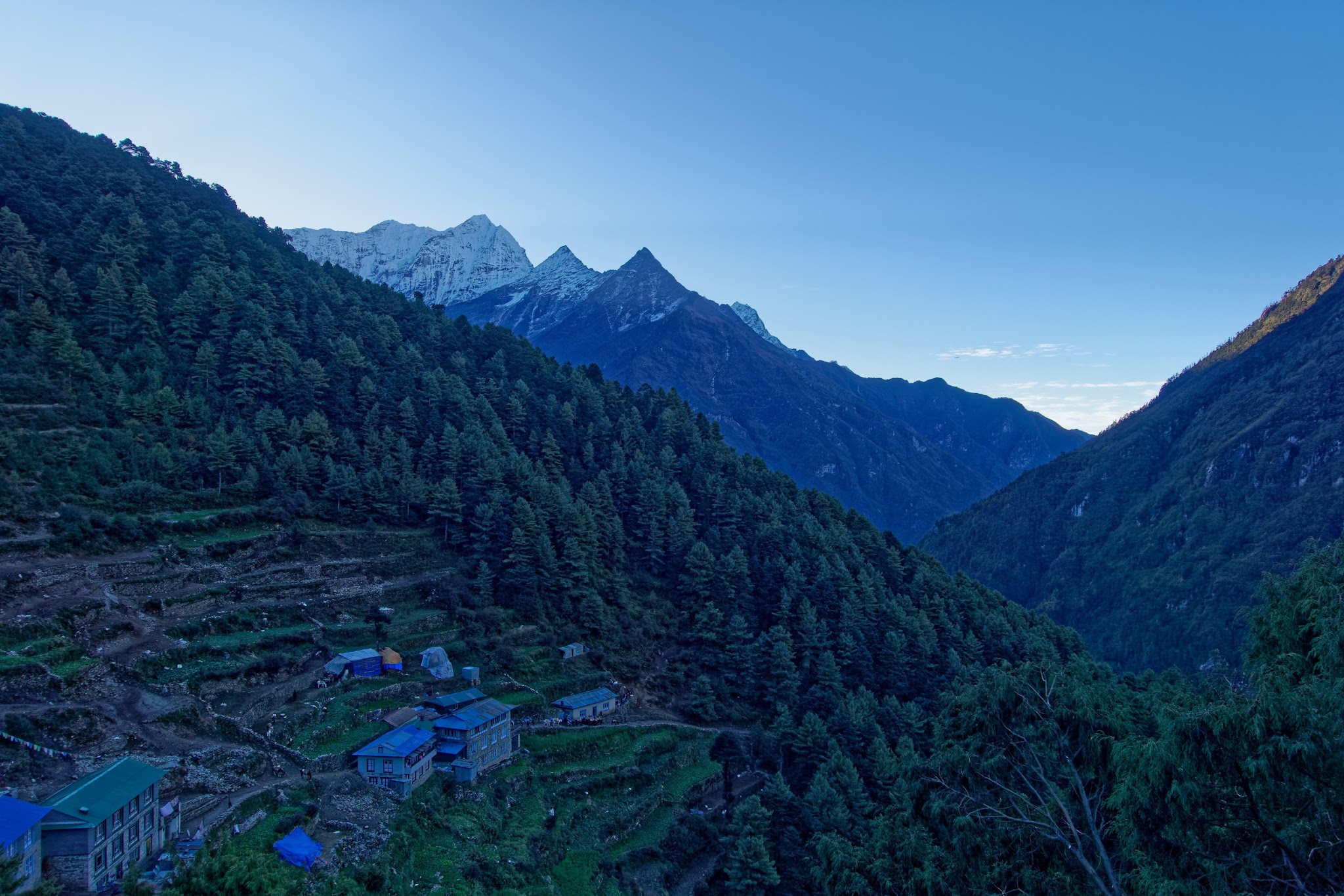
back in Namche Bazaar.

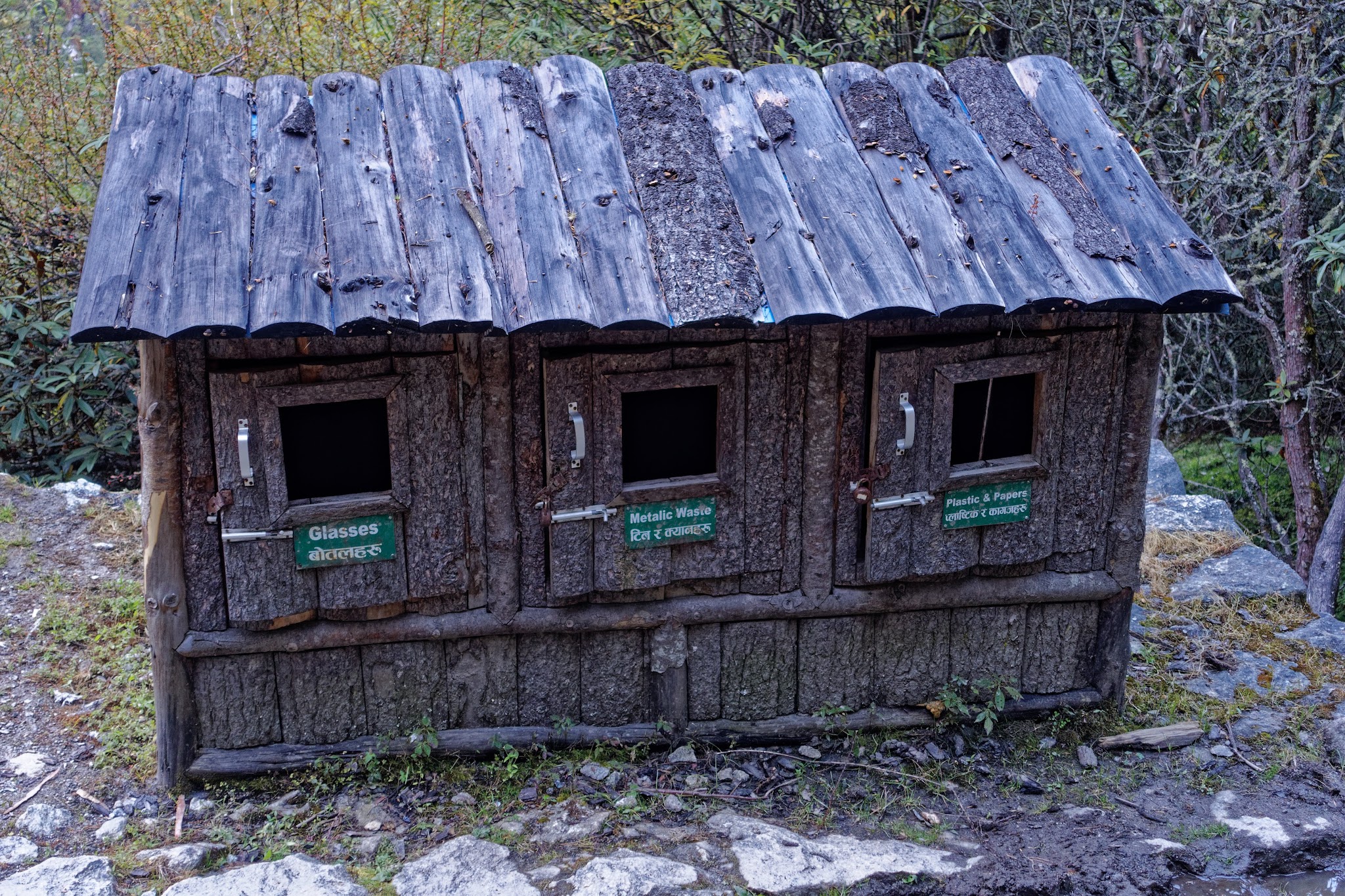
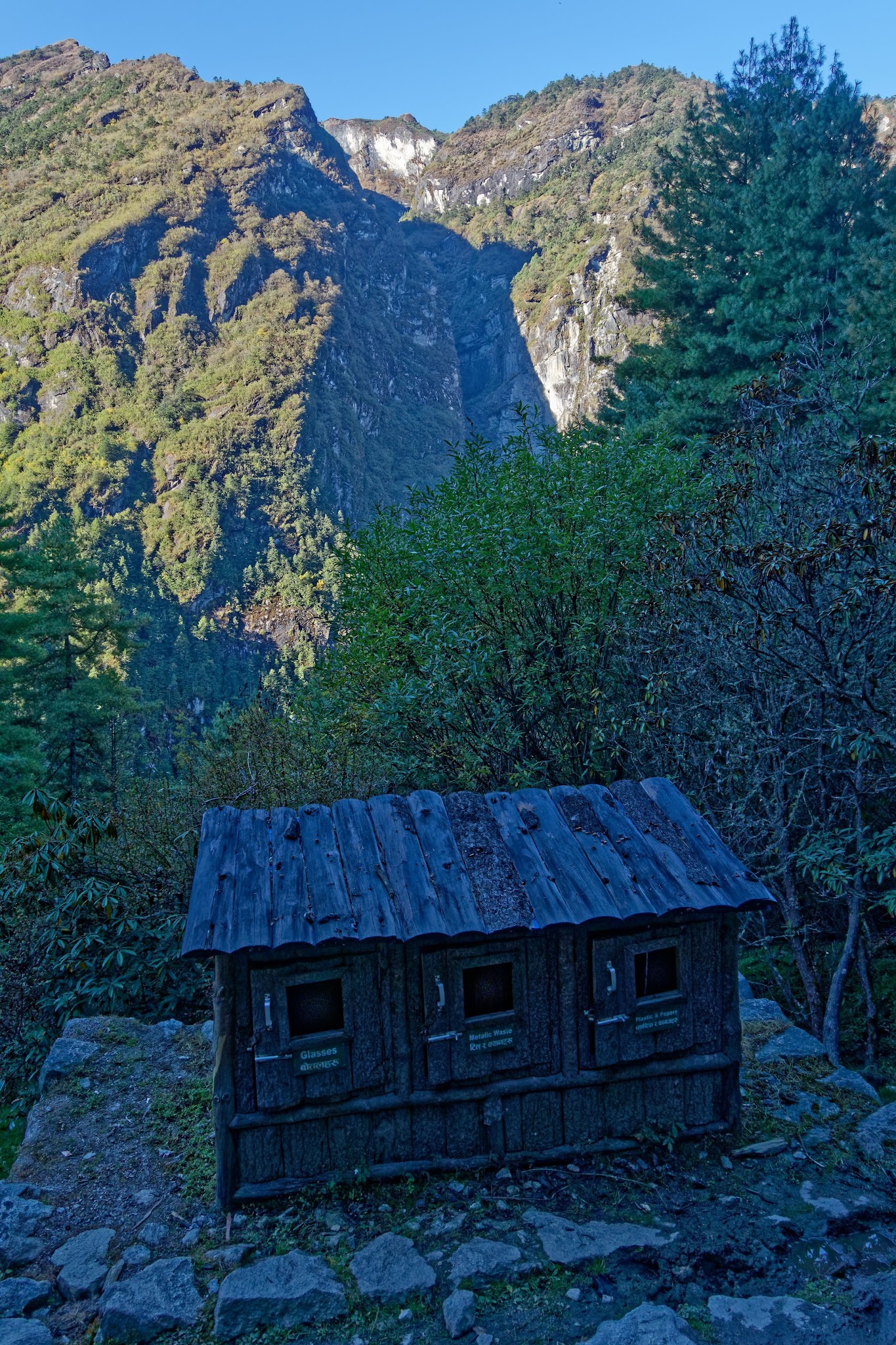
Waste separation ans sustainability in the Khumbu region.
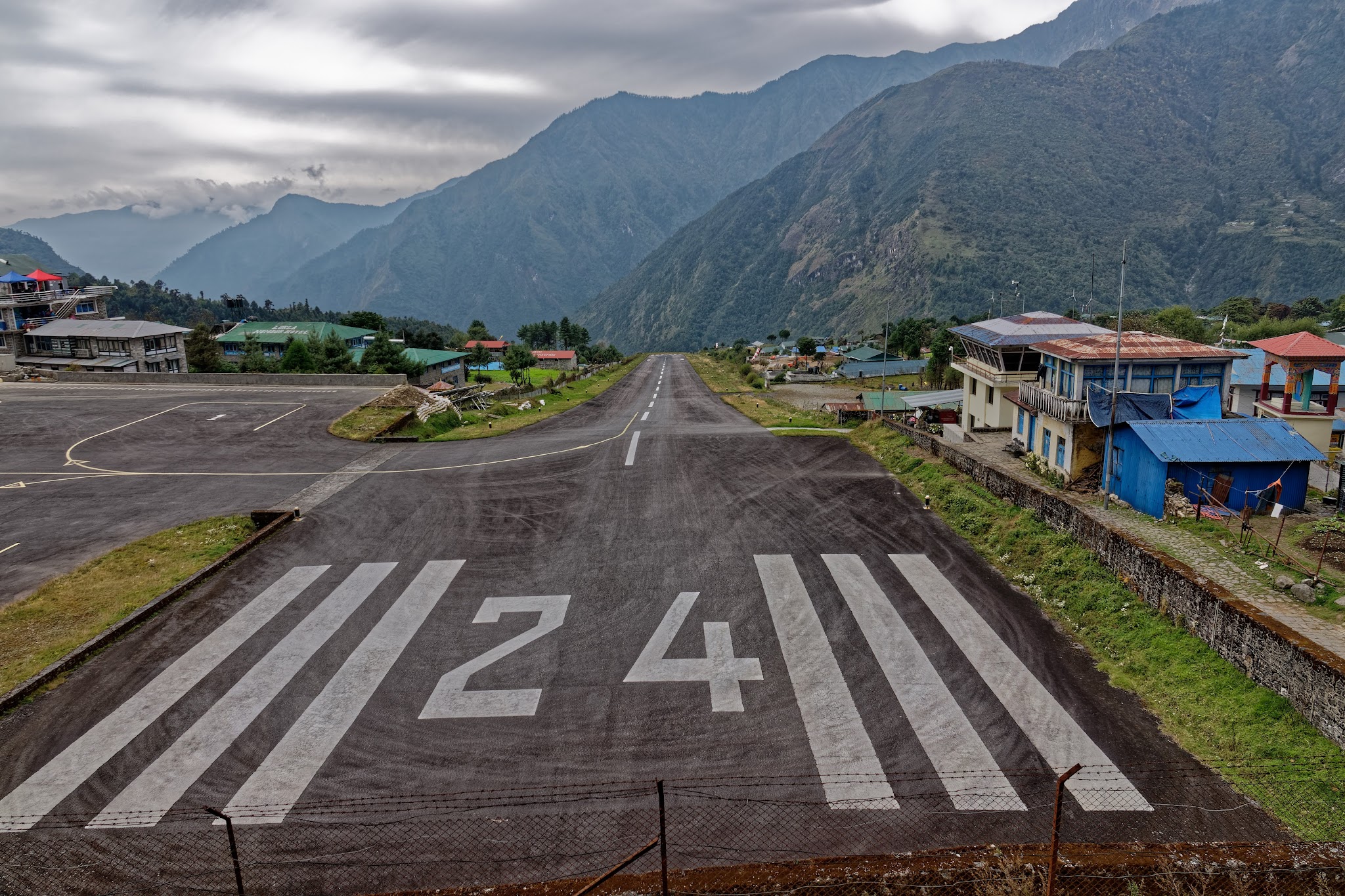
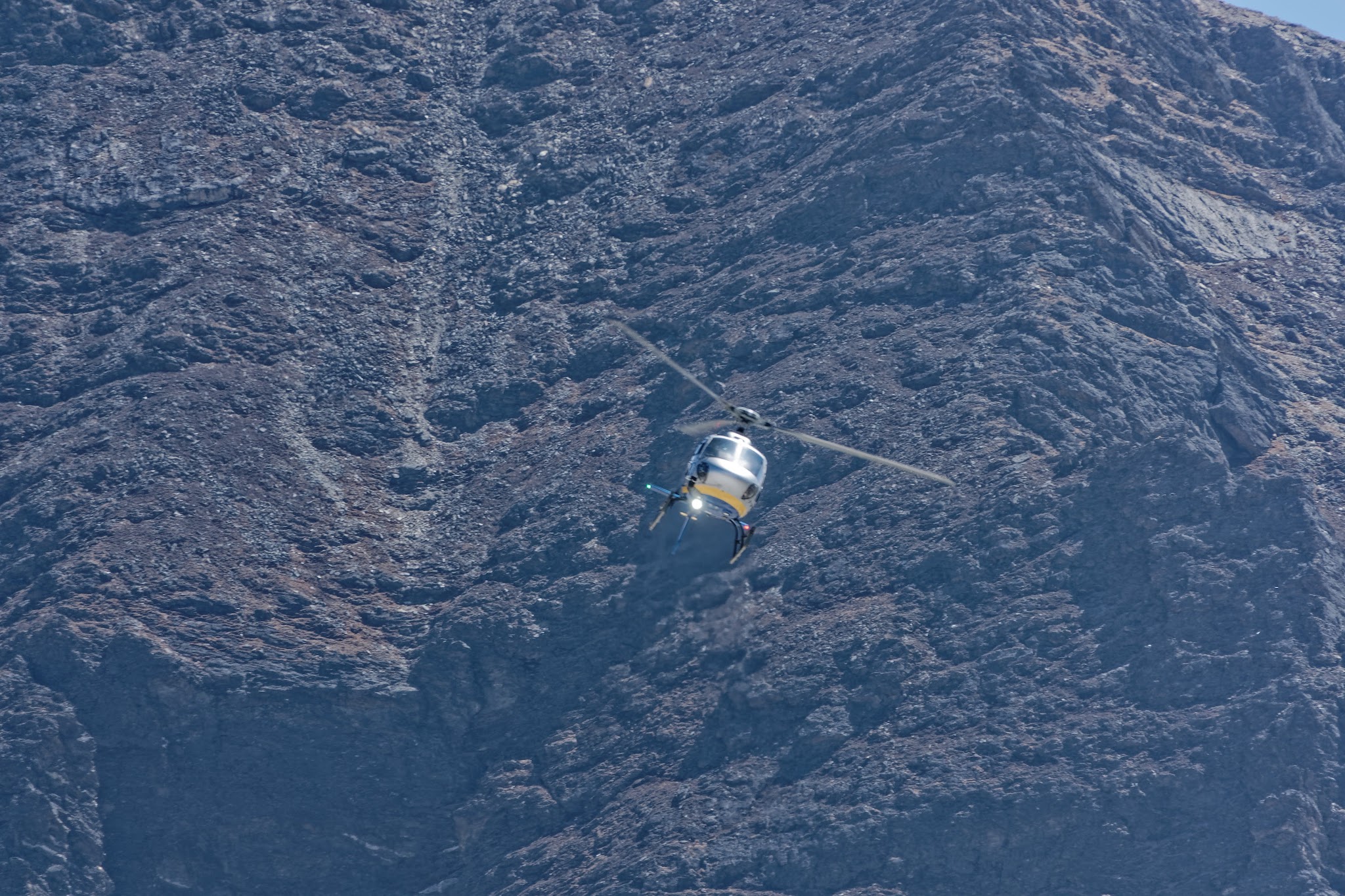
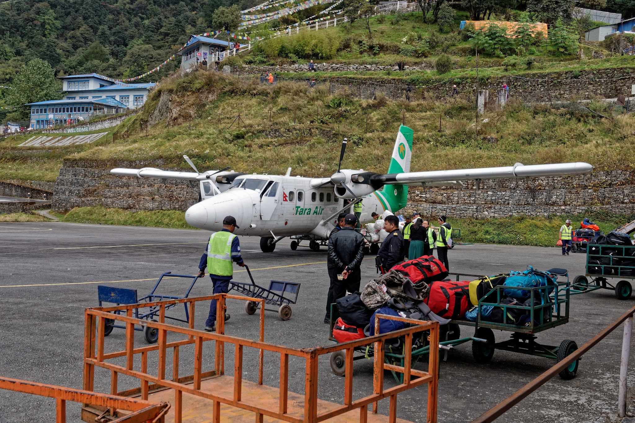
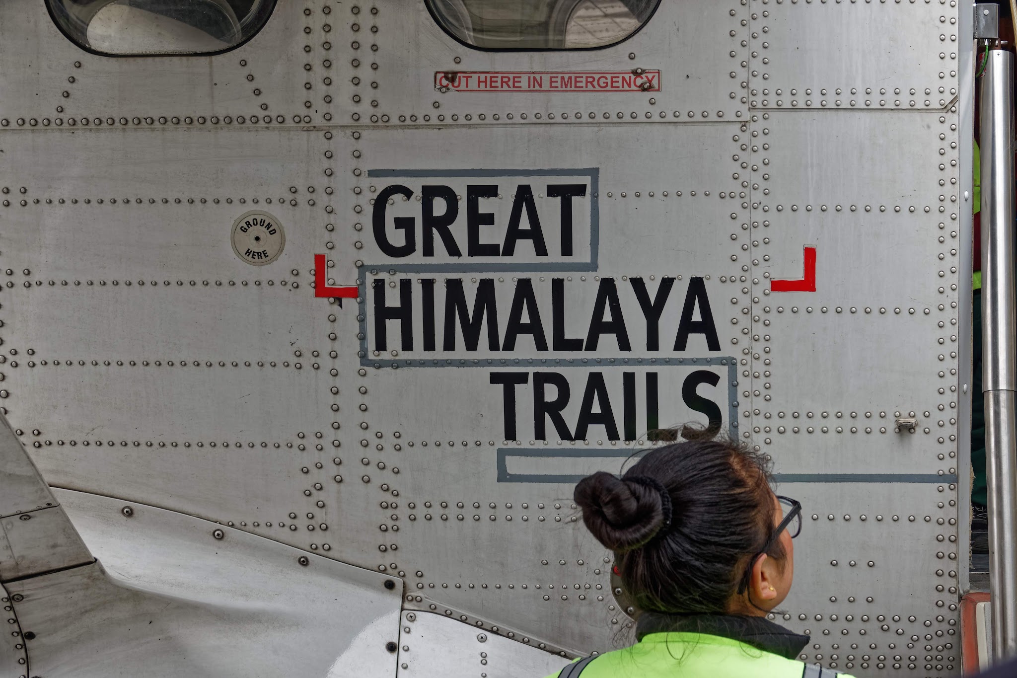
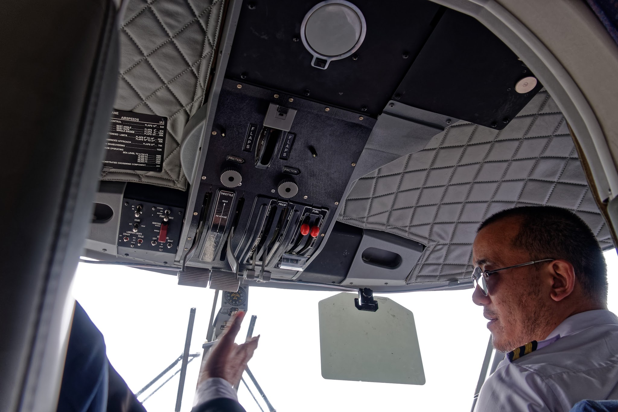
Airport Lukla and flight to Kathmandu.


Three Passes, three parts of the story...