2. Kongma La to Kala Patthar
Chhukung Ri
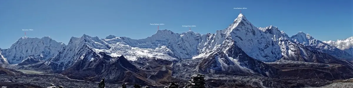
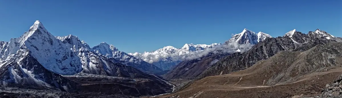
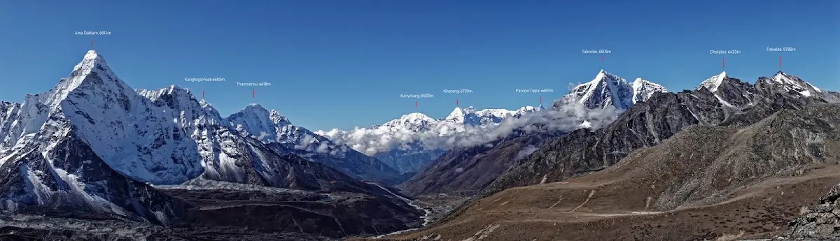
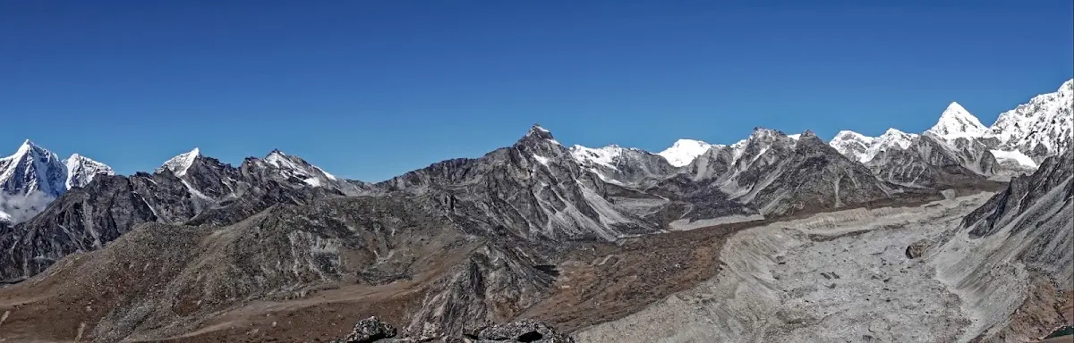
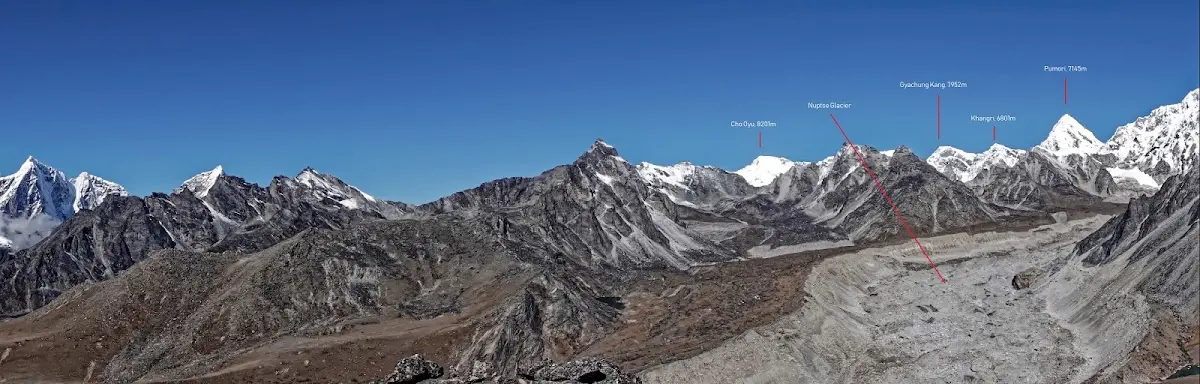
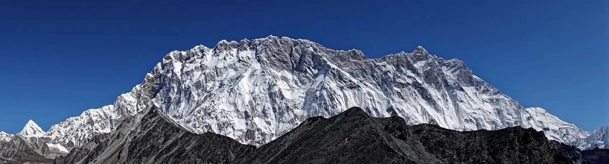
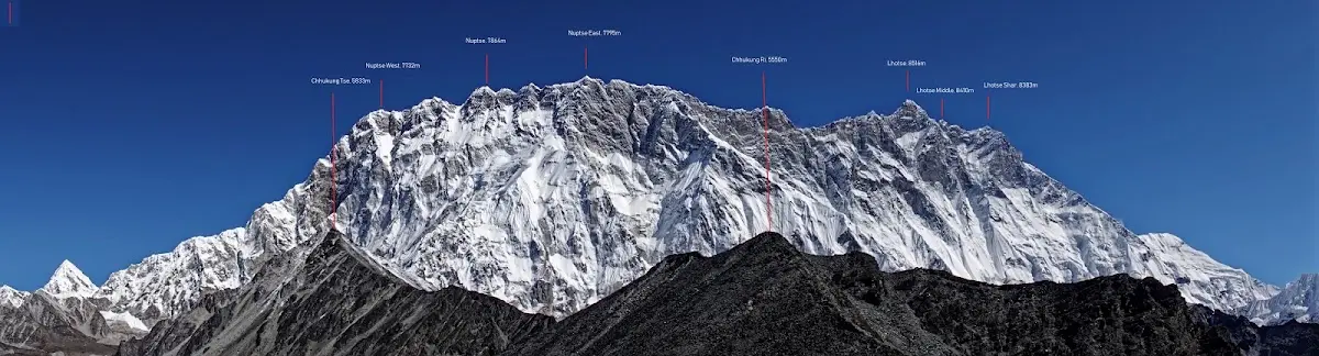
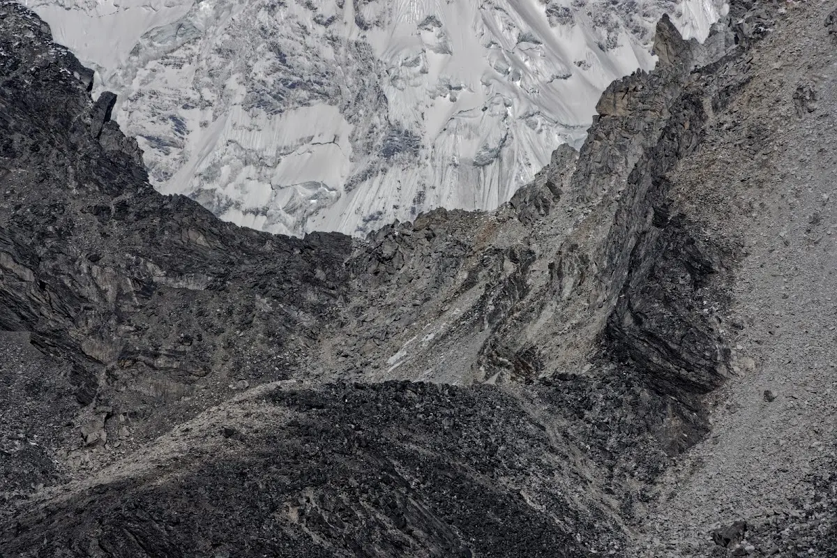
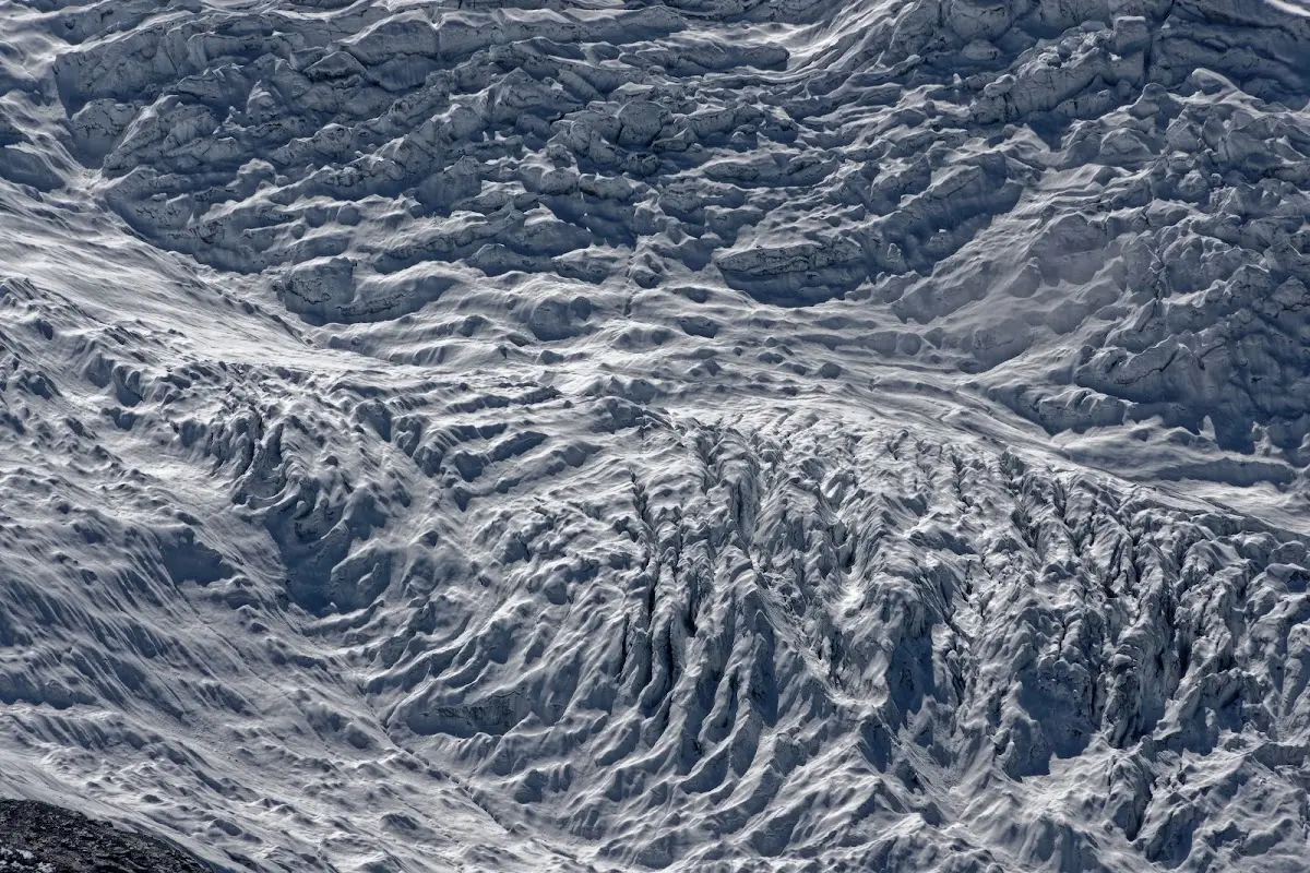
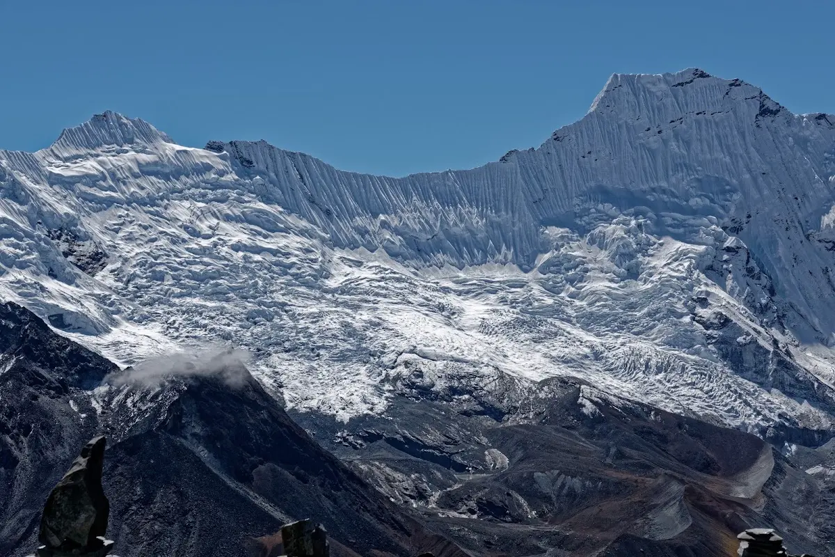
Chhukung Ri is a nice day trip from Chhukung,the next eight pictures show panoramic views. Every second picture is annotated to get a few names to all the summits...
Kongma La Pass
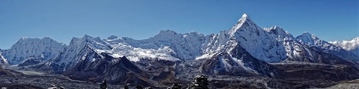
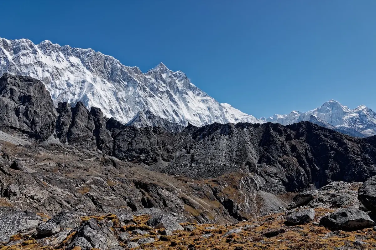
Next day the first pass of three: Kongma La. Some people start very early in the morning, unless you want to see the sun rise it is not really necessary. Above the view to Lhotse (left) and Makalu (right) on the way up. There are no facilities along the way and not much water, so bring a packed lunch from your lodge in Chhukung and fill your water bottle when you can. The trail climbs the hill diagonally northwest of the Chhukung Resort over the outflows of the Nuptse Glacier. The first five minutes are confusing so ask your lodge for directions to the start of the path. On the first stage of the trek, there are great views back across the valley to Island Peak and the jagged ridge of Amphu Lapcha. The trail curves around the hillside above Bibre and then climbs along the east side of the Niyang Khola Valley, beneath a menacing wall of black rock. At the head of the valley, the path swings west, scrabbling its way up a steep slope littered with boulders. Snow often lingers on this north-facing slope, making it tricky to find the icy trail. Af the top of the bluff the trail swings around past a small lake and ascends into a wide basin, dotted with small frozen lakes. Beyond the largest lake, the trail switchbacks steeply over loose scree, gaining the Kongma La (5535m) around three hours after you left Chhukung. A cairn, mummy-wrapped in prayer flags, marks the pass. Behind you is a lunar landscape of icy lakes and frozen ridges; ahead the landscape tumbles down to the Khumbu Glacier. There are incredible views east towards giant Makalu, with peaks in Tibet visible to its left. The final descent is the most difficult stage of the trek. Ignore the faint path running directly downhill to the tiny pool below the pass and keep to the right, dropping steeply down the scree and icy boulders for two hours to more solid ground on the edge of the moraine. Ice can make this section very slippery. The next stage across the glacier is a final sucker punch, with lots of ups an downs – follow the stone cairns along the ever-shifting route and climb the moraine on the far side, where a clear trail runs north to Lobuche.
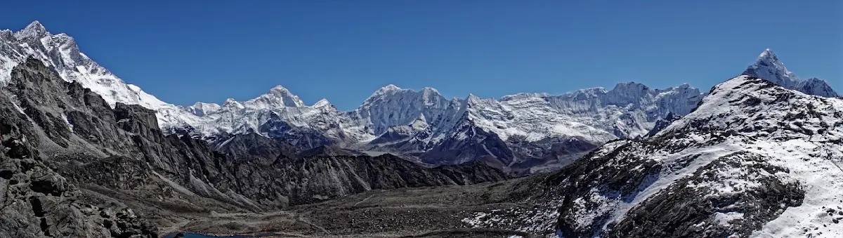
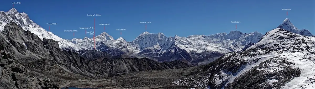
The next picture is annotated, that is the panorama from Kongma La on a beautiful day.
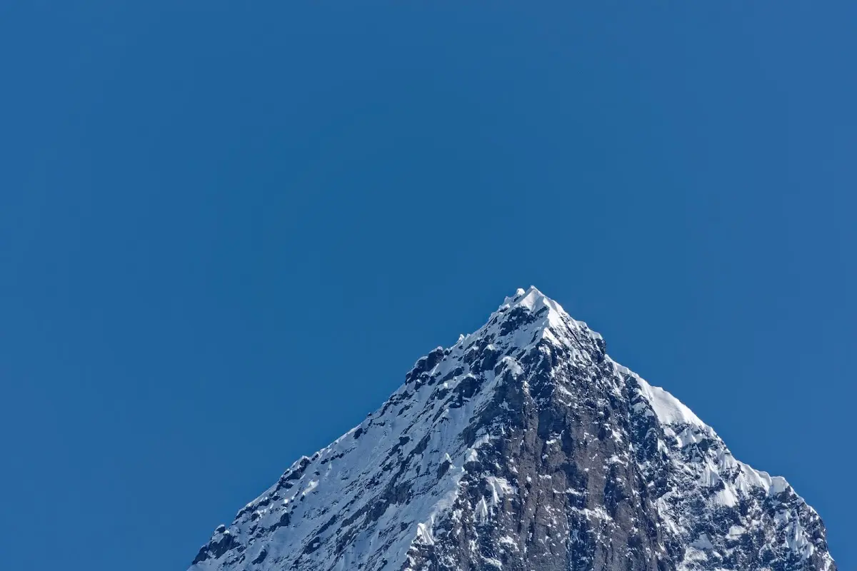
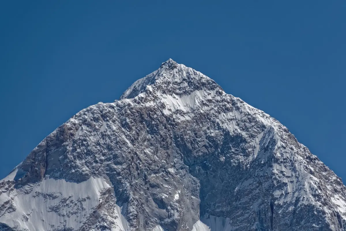
Closeup of Makalu.
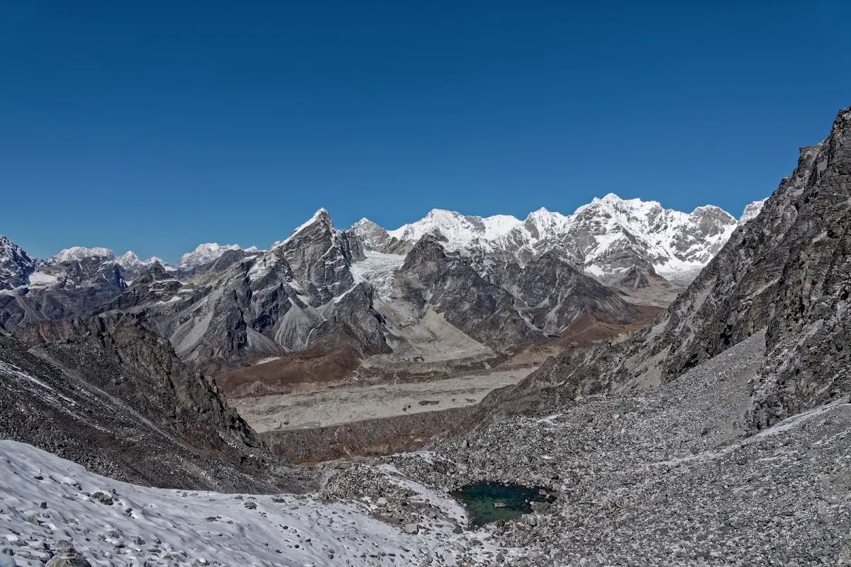
iew from Kongma La to Lobuche, that is the way down, There was a bit of snow and ice on top, but the most difficult and time consuming part (as already mentioned above) was the last stretch crossing the glacier (or what is left behind by it).
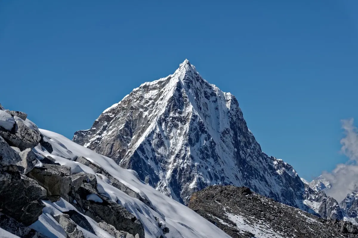
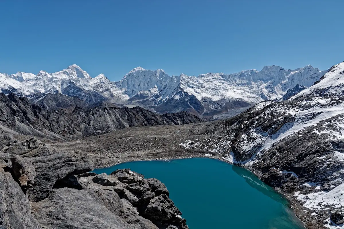
Lake close to Kongma La
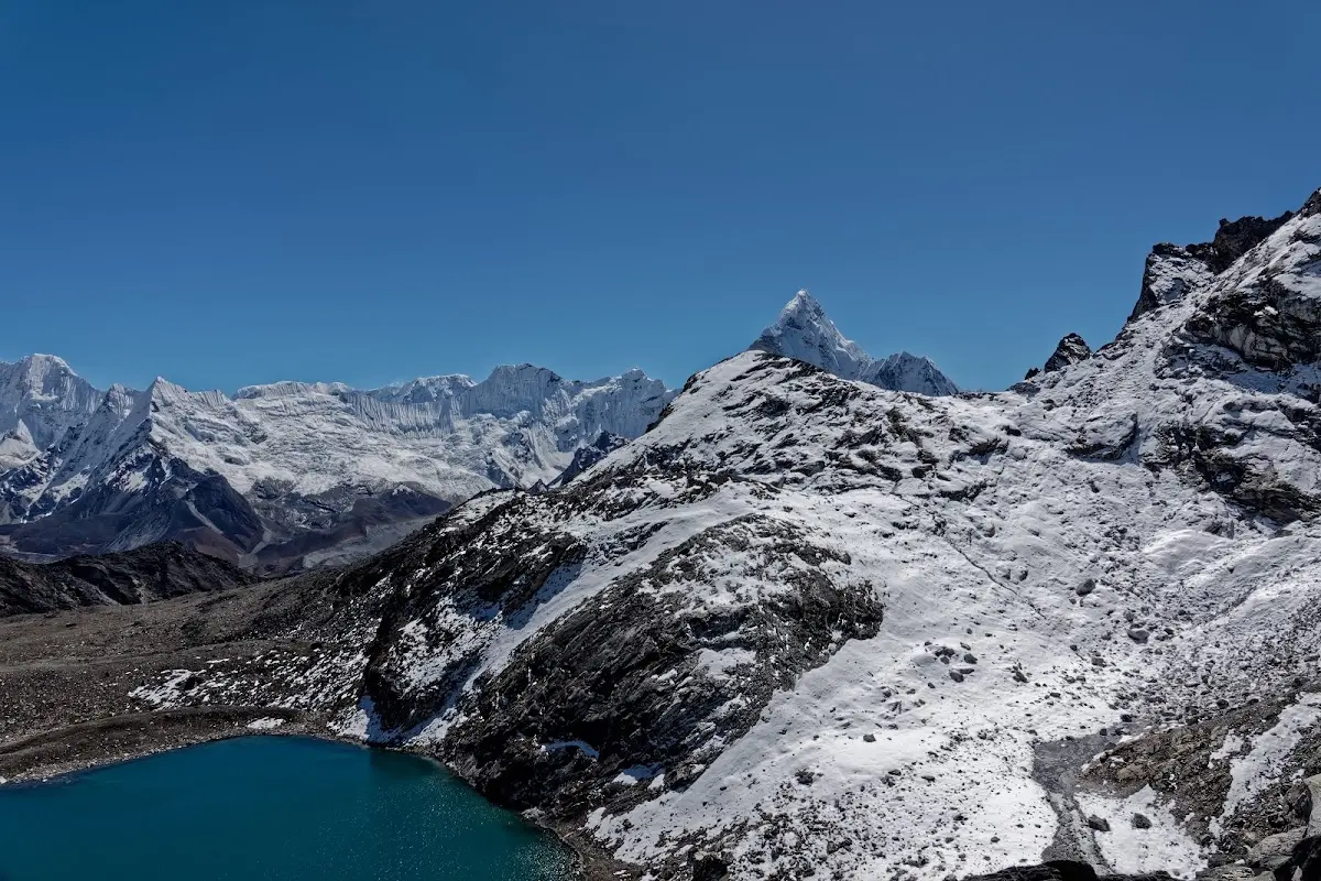
and Ama Dablam once again in the background.
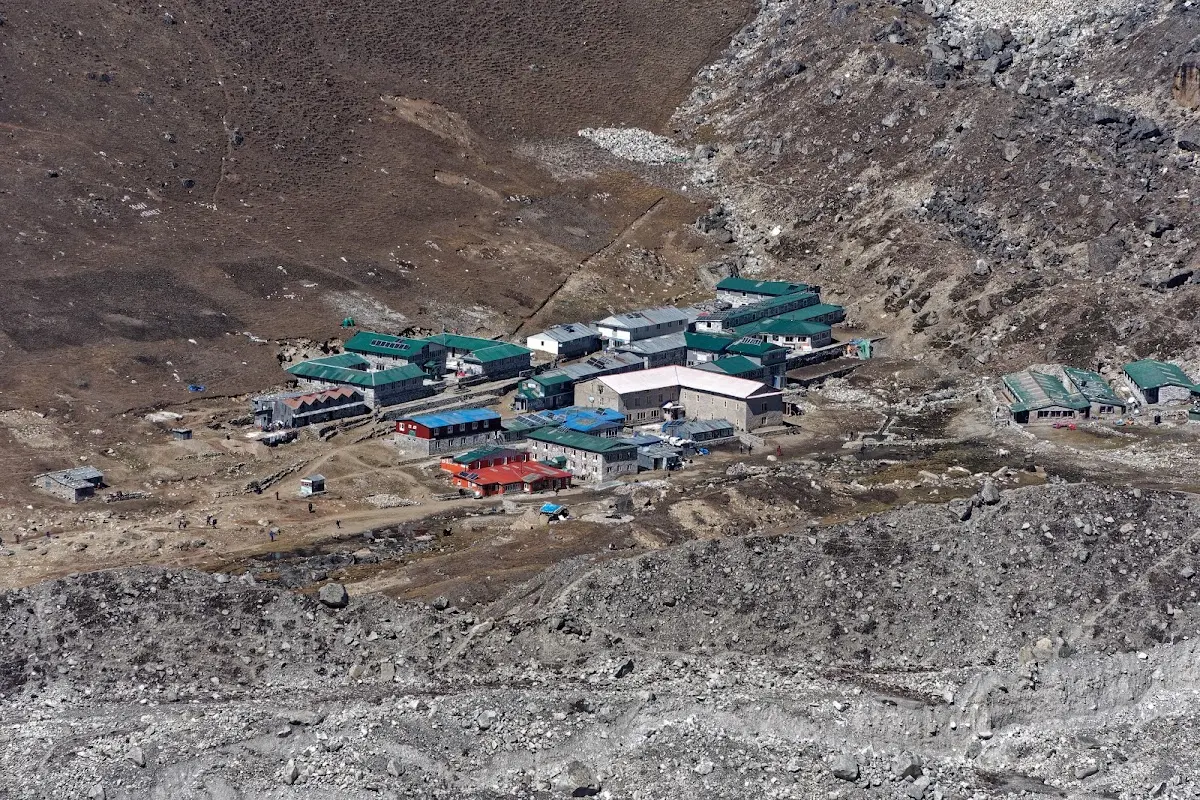
Lobuche
Zooming in to Lobuche, you meet all the people on the Everest Base Camp Trek (EBC) again, so prepare for a crowd.
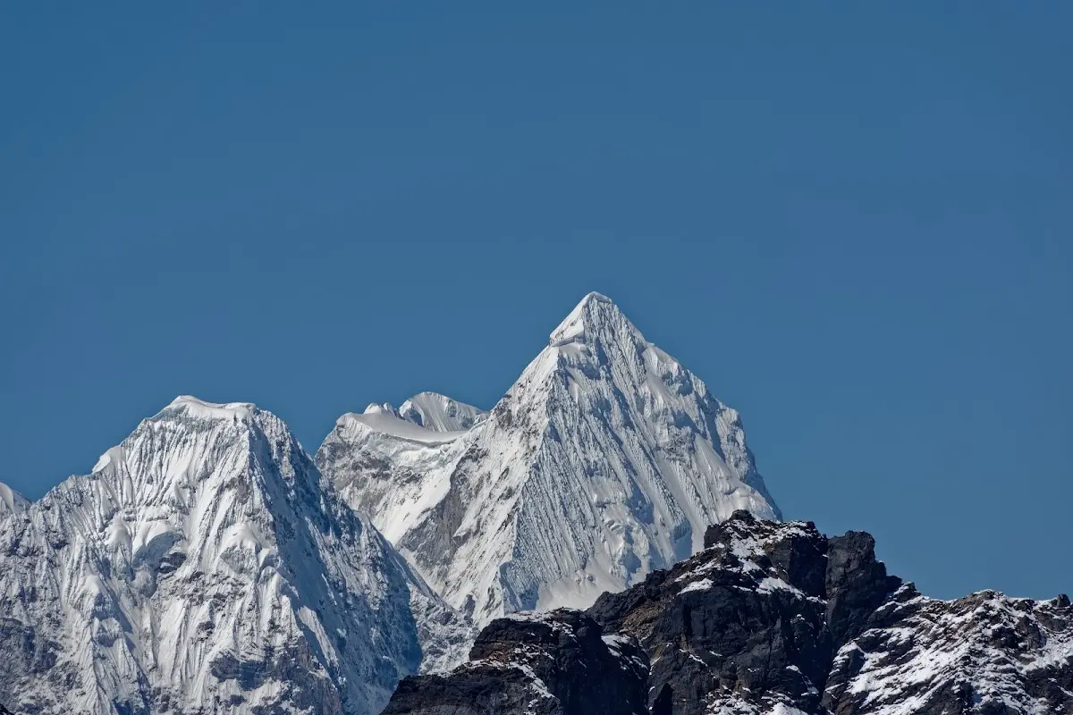
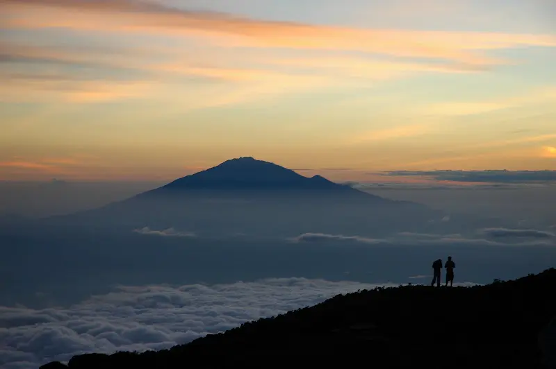
Kang Korob (6705m) and Melungtse (7181m, right) as seen from Kongma La.
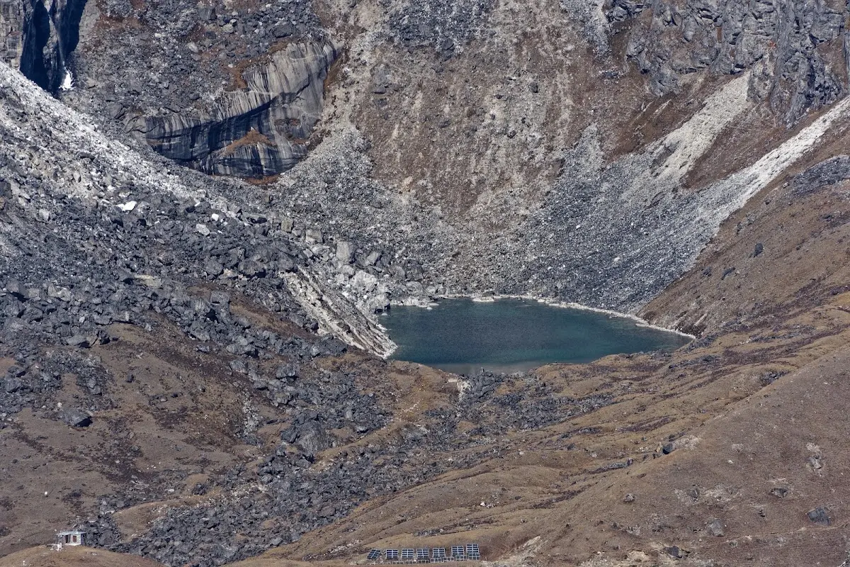
Small Lake above Lobuche, solar panels and solar heaters are used widely.
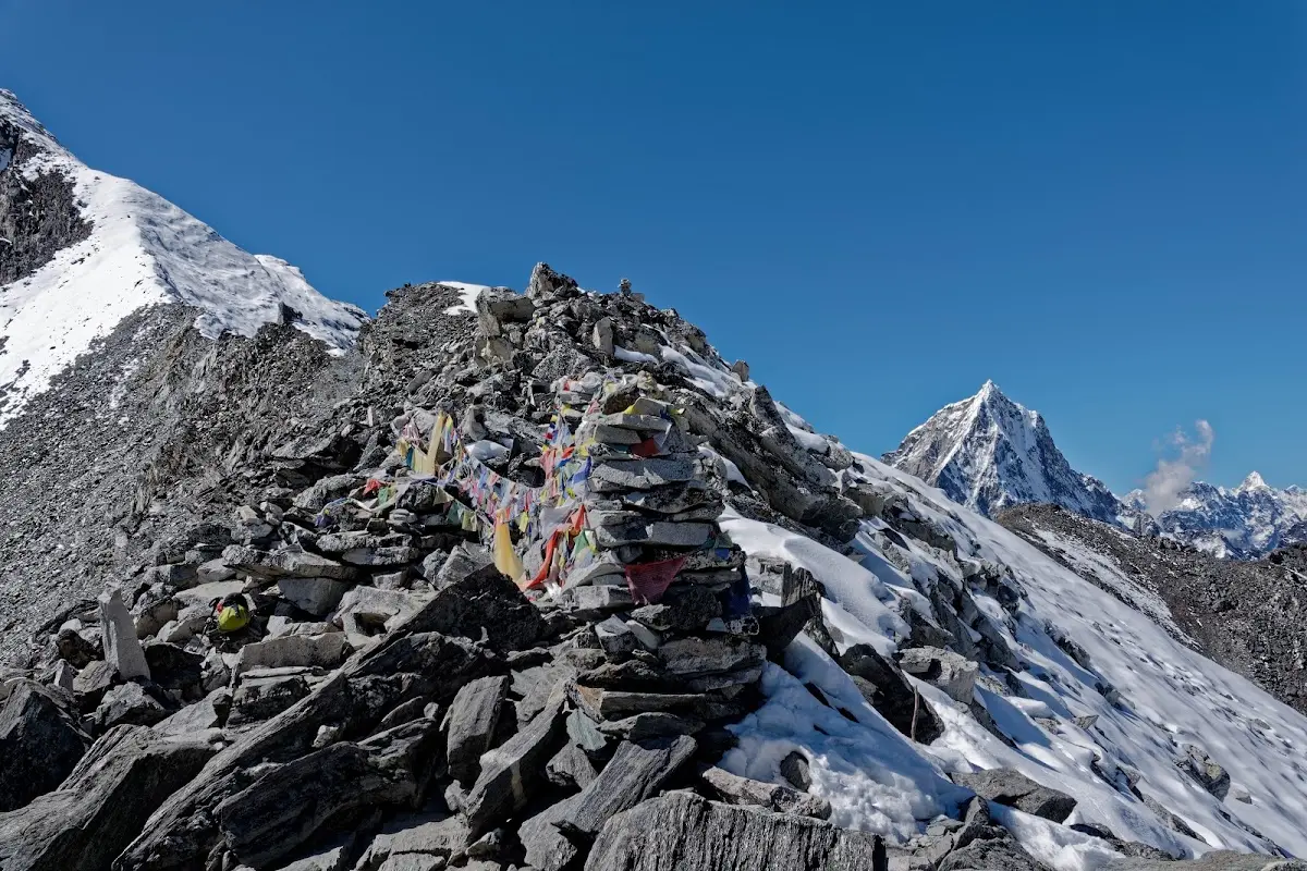
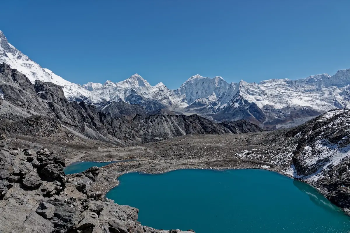
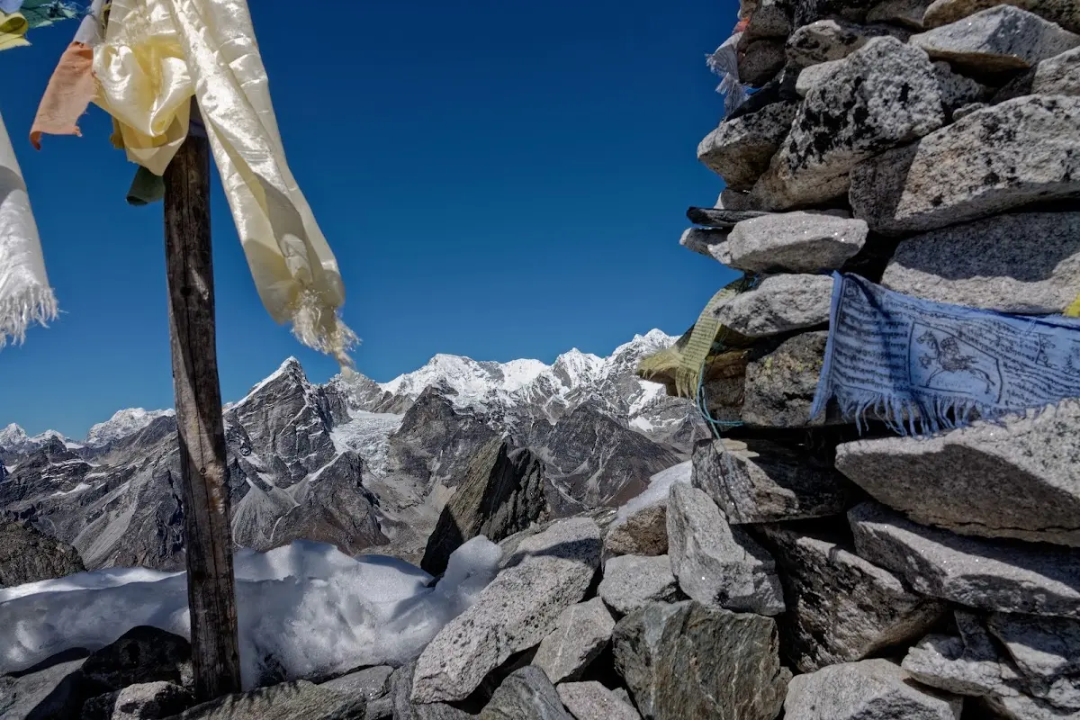
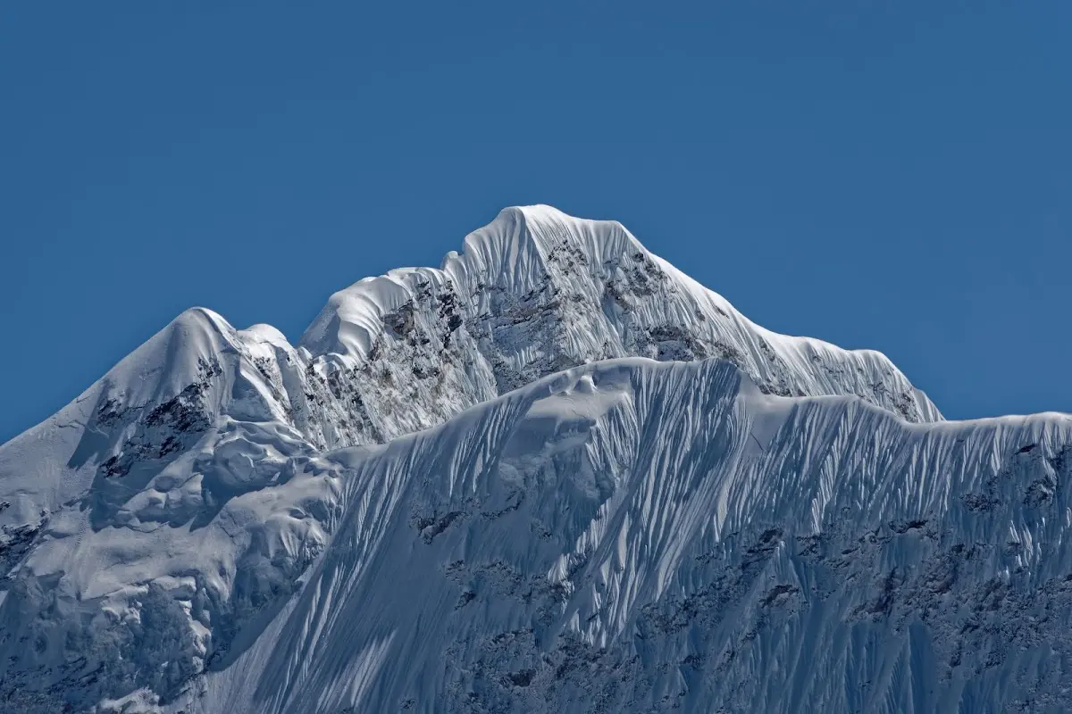
Baruntse (7129m)
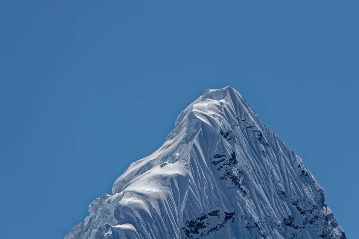
Kala Patthar
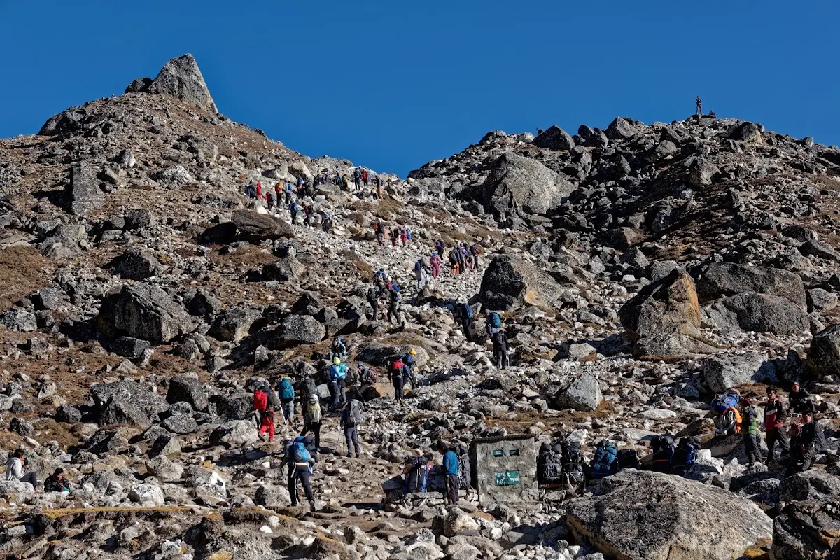
I stayed for two nights in Lobuche and made a day trip to Gorak Shep (2,5h) and Kala Patthar, another 2h and was not alone as you can see, but I did not have to look for accommodation with all the EBC trekkers, but most of them have guides, porters and flock together in groups.
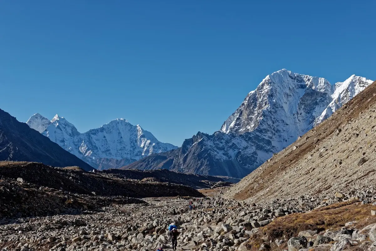
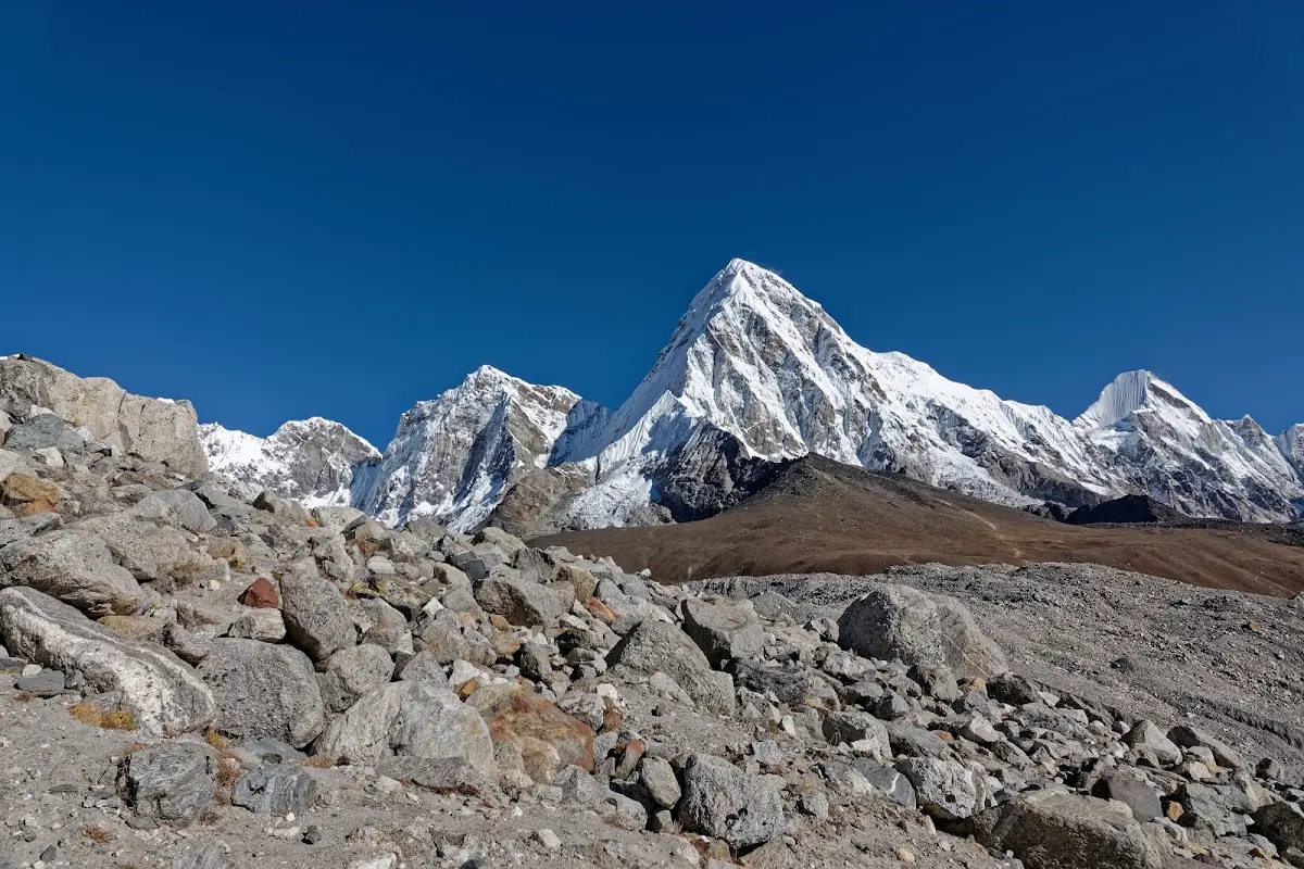
Pumari and Kala Patthar, the small grass hill in front (5545m).
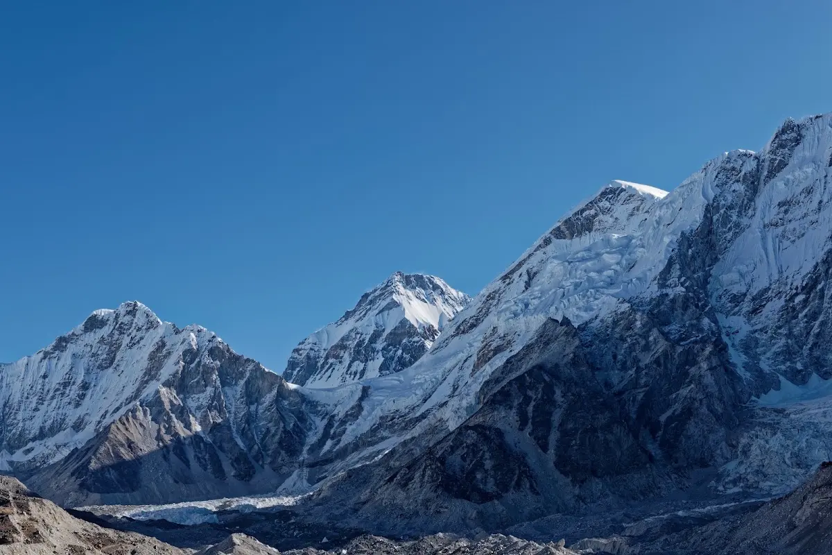
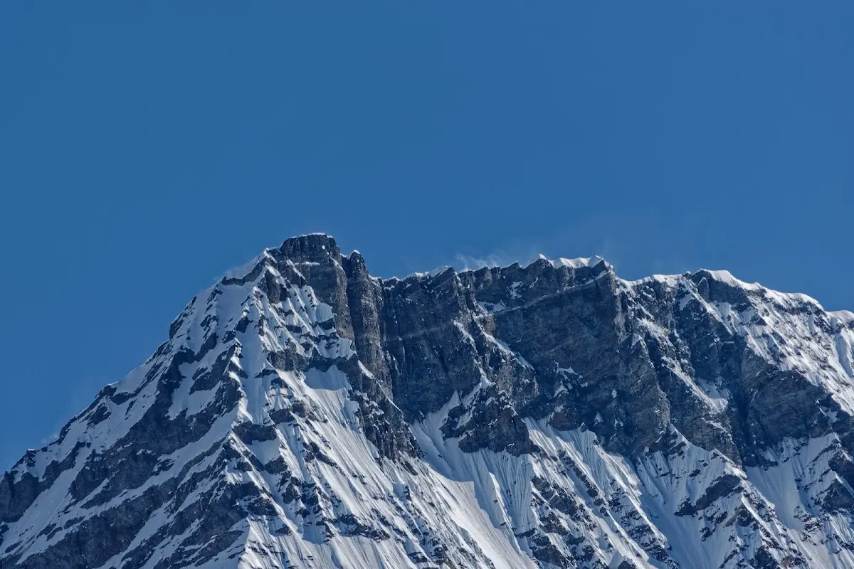
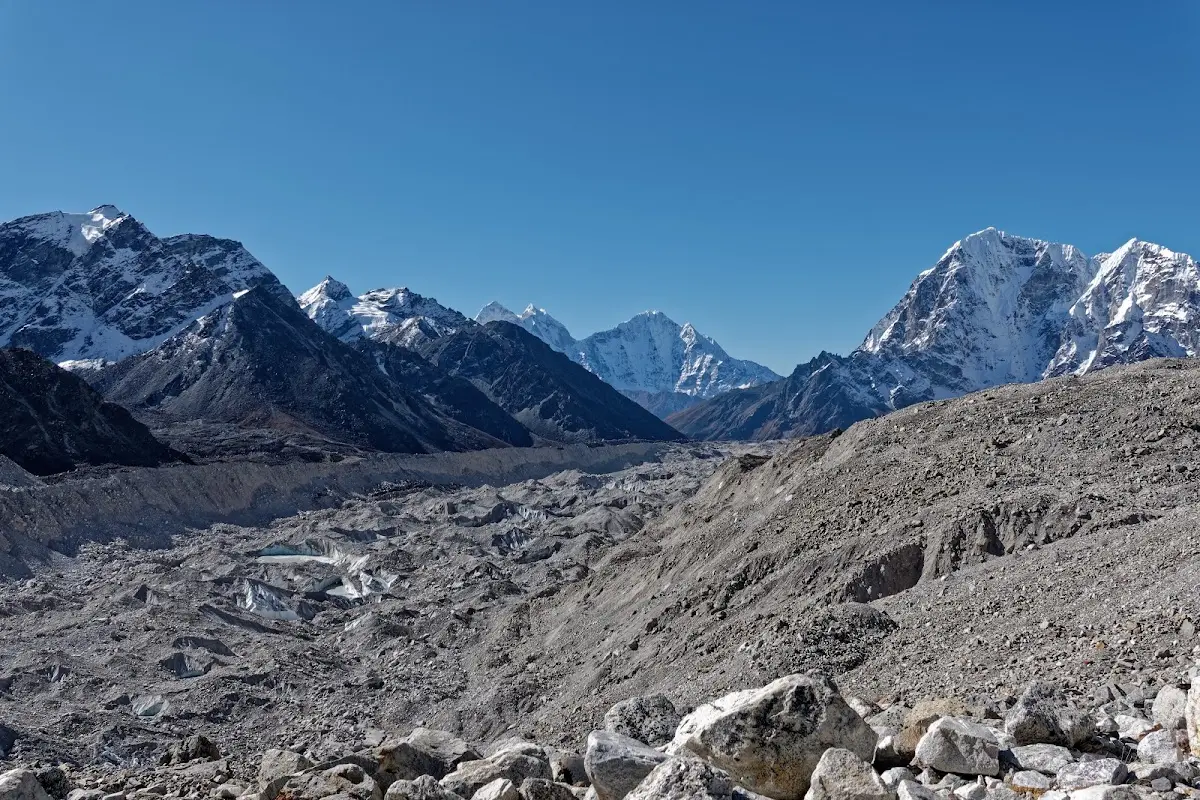
Khumbu glacier and Thamserku in the middle, Taboche to the right.
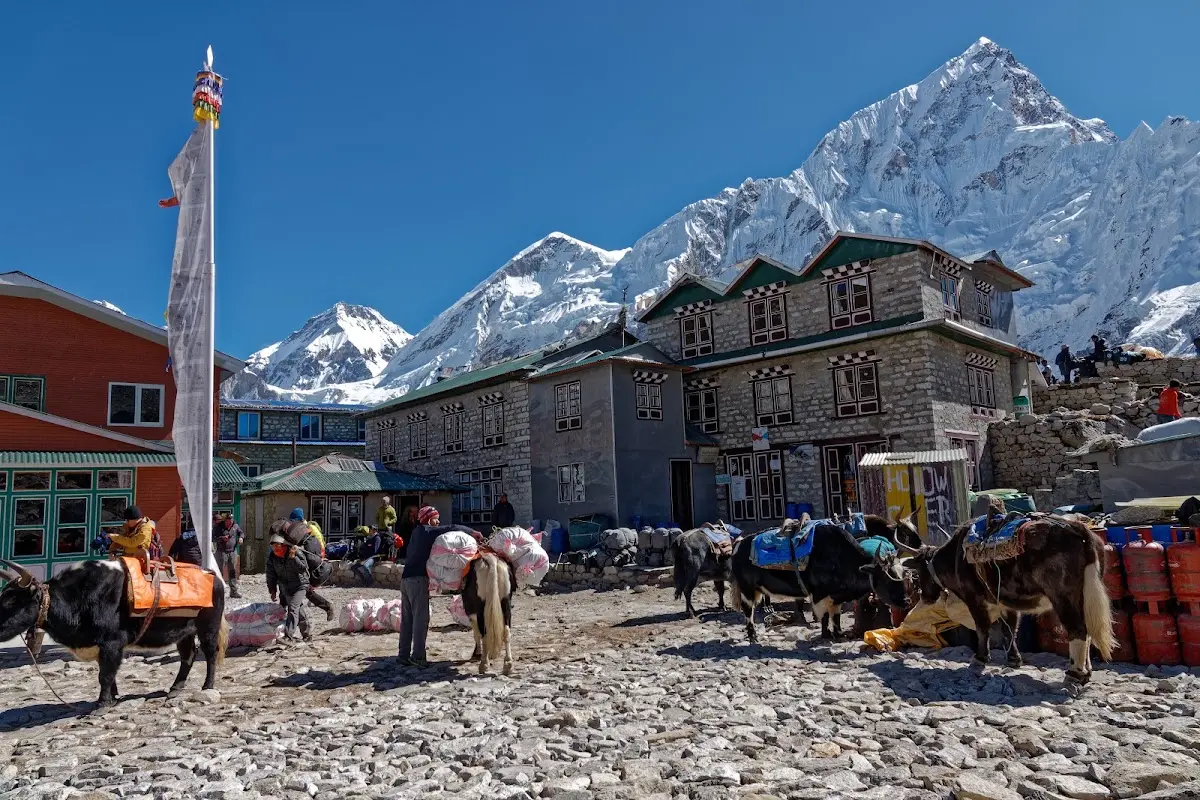
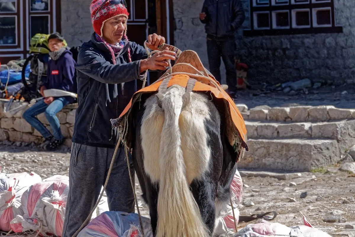
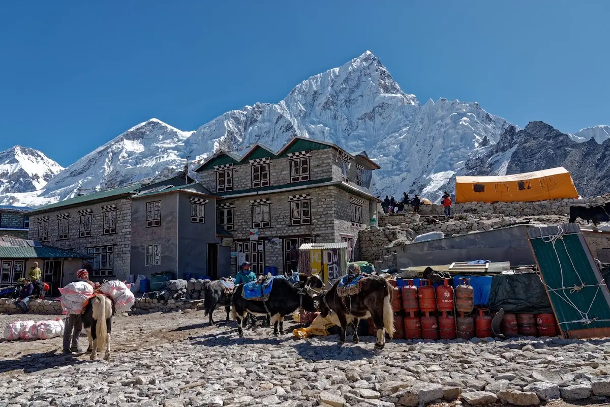
Gorak Shep is busy as you can see, EBC trekkers stay overnight and walk for another 2h to Everest Base Camp, it was offseason with no expeditions and the view is not as good as Kala Patthar, so I skipped it.
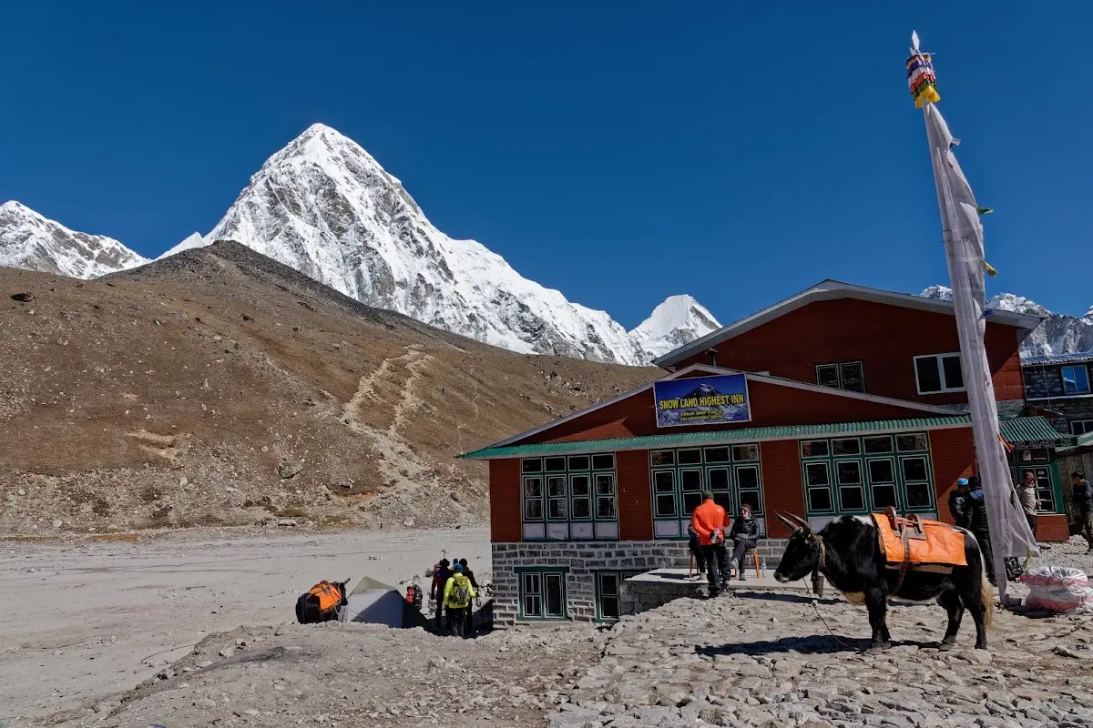
Pumari and Kala Patthar again.
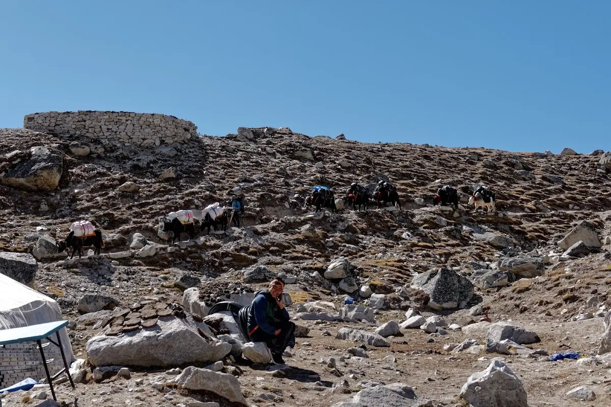
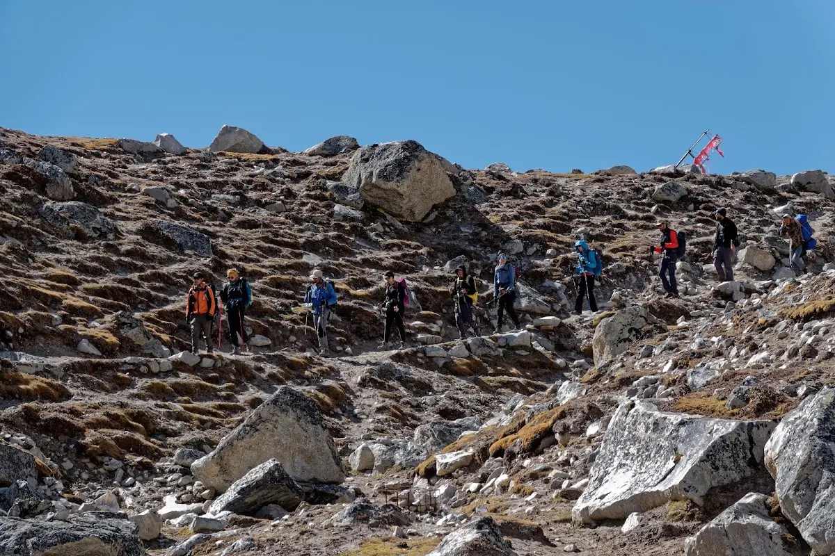
arrivals in Gorak Shep.
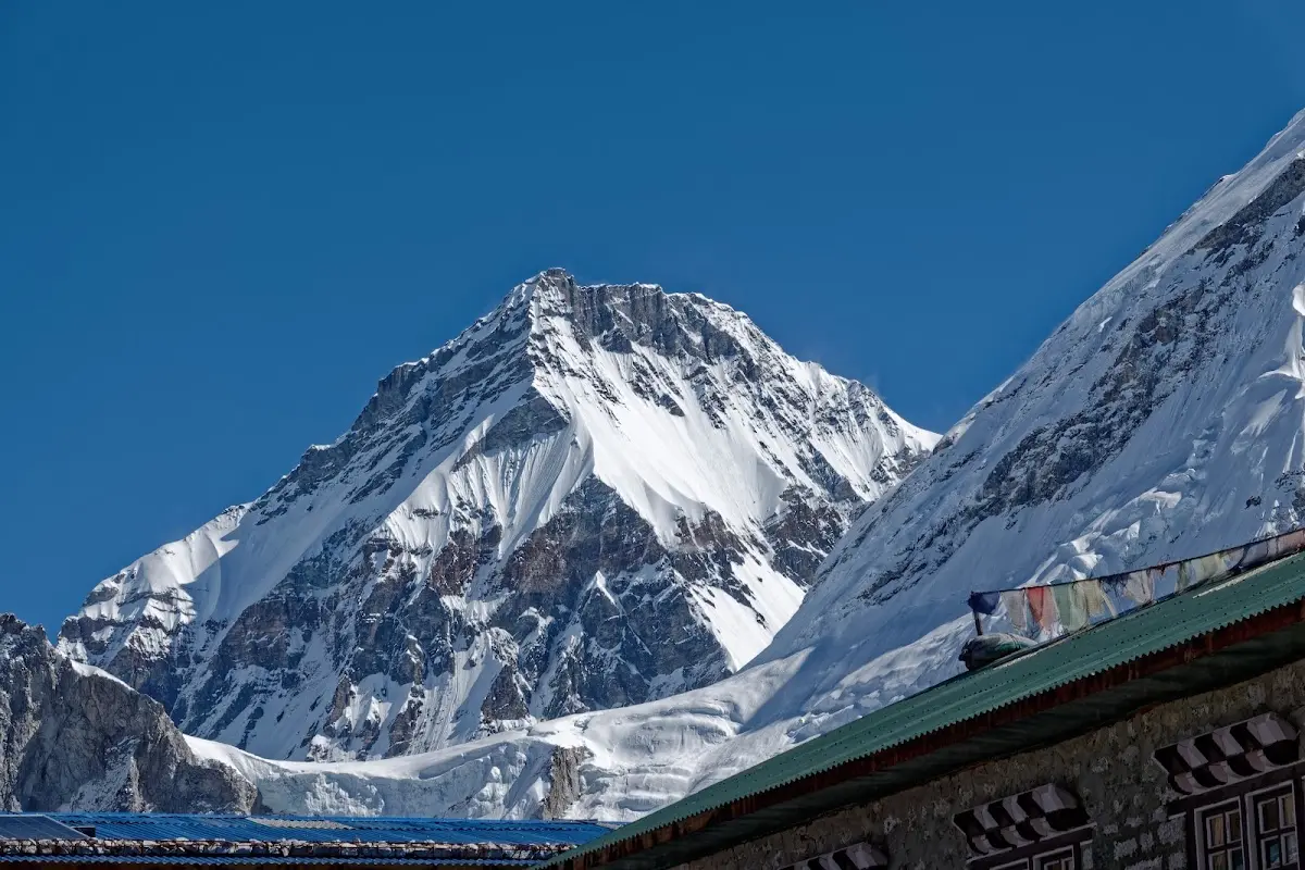
Changtse.
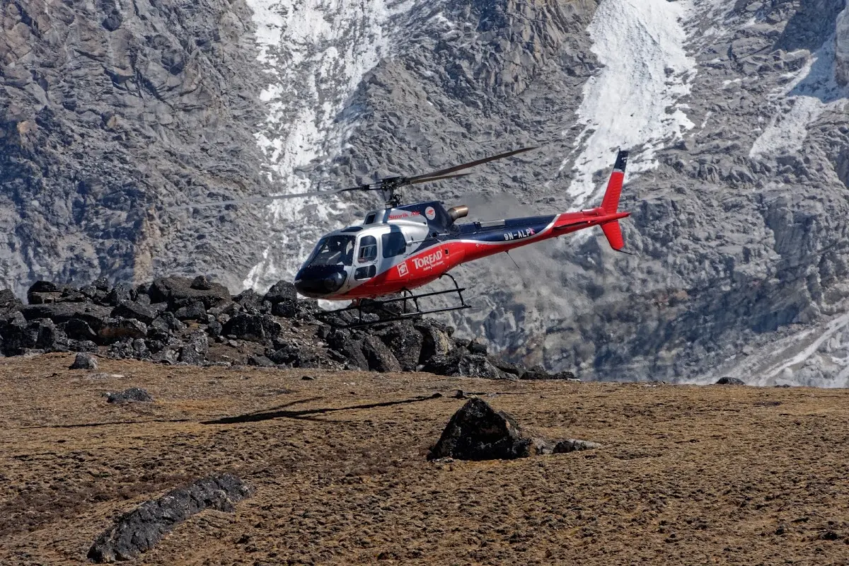
quite busy with helicopters, not just to transport people that had an accident or severe mountain sickness, but quite a few sight seeing flights too.
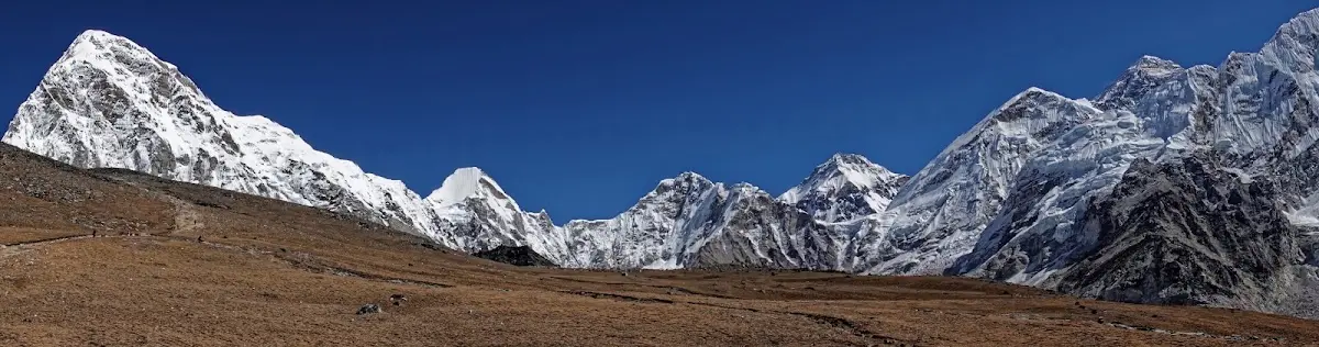
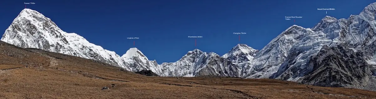
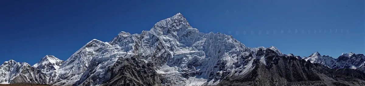
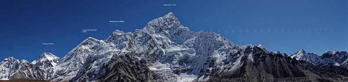
a few more panoramic shots on the way to Kala Patthar, including Mount Everest.
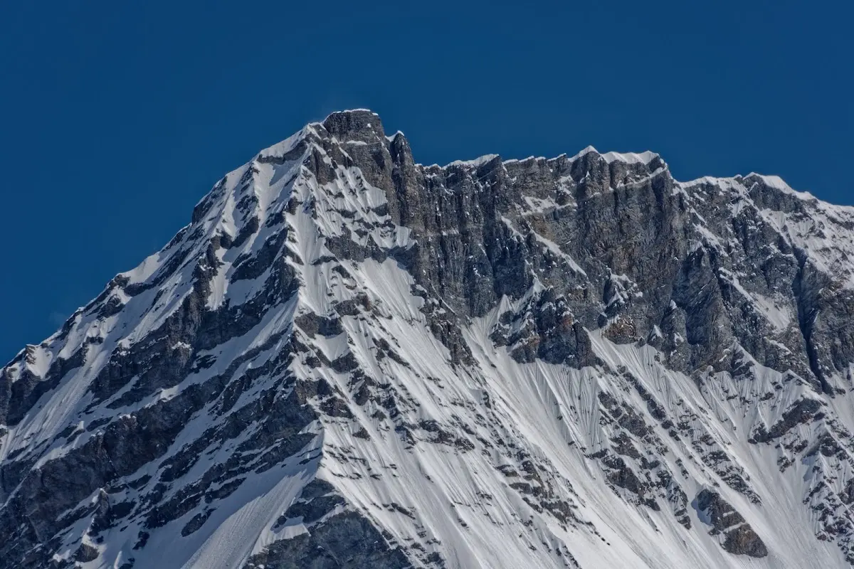
Changtse closeup.
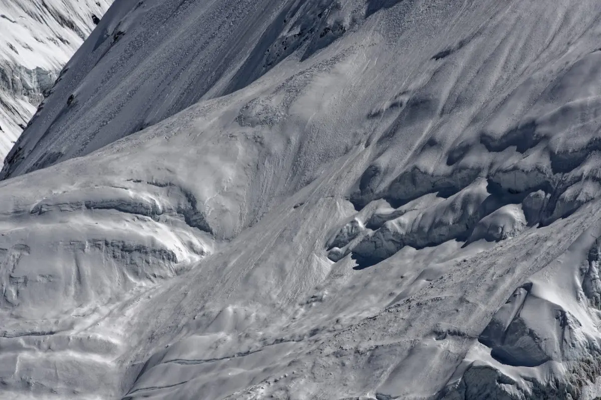
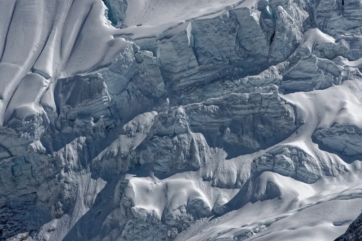
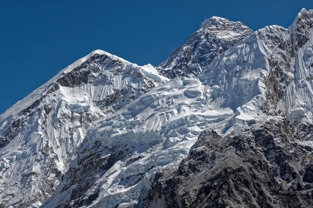
Sagarmatha
Mount Everest or Sagarmatha (8848m). Everest has gone by a number of different names over the years. The Survey of India christened the mountain ‘Peak XV’, but it was later named Everest after Sir George Everest, the surveyor general of India in 1865 (who pronounced his name 'Eve-Rest'). It was later discovered that the mountain already had a name - Sherpas call the peak Chomolungma (Chomo Miyo Langsangma), after the female guardian deity of the mountain who rides a red tiger and is one of the five sisters of long life. There was no Nepali name for the mountain until 1956 when the historian Babu Ram Acharya invented the name Sagarmatha, meaning ‘head of the sky’. Using triangulation from the plains of India, the Survey of India established the elevation of the summit of Everest at 8839m. In 1954 this was revised to 8848m using data from 12 different survey stations around the mountain. In1999 a team sponsored by National Geographic used GPS data to produce a new elevation of 8850m, but in 2002 a Chinese team made measurements from the summit using ice radar and GPS systems and produced a height of 8844.43m. So is Everest shrinking? Not exactly: the Chinese calculated the height of the bedrock of the mountain, without the accumulated snow and ice. In fact, Everest is growing and moving northeast at a rate of 6cm a year as plate tectonics drive the Indian subcontinent underneath Eurasia.
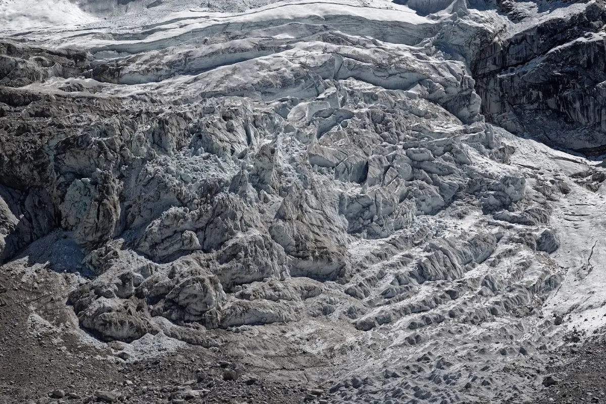
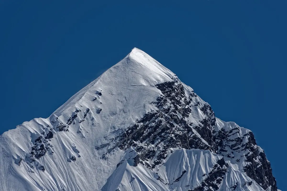
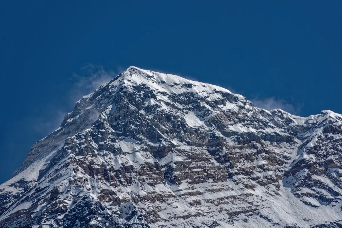
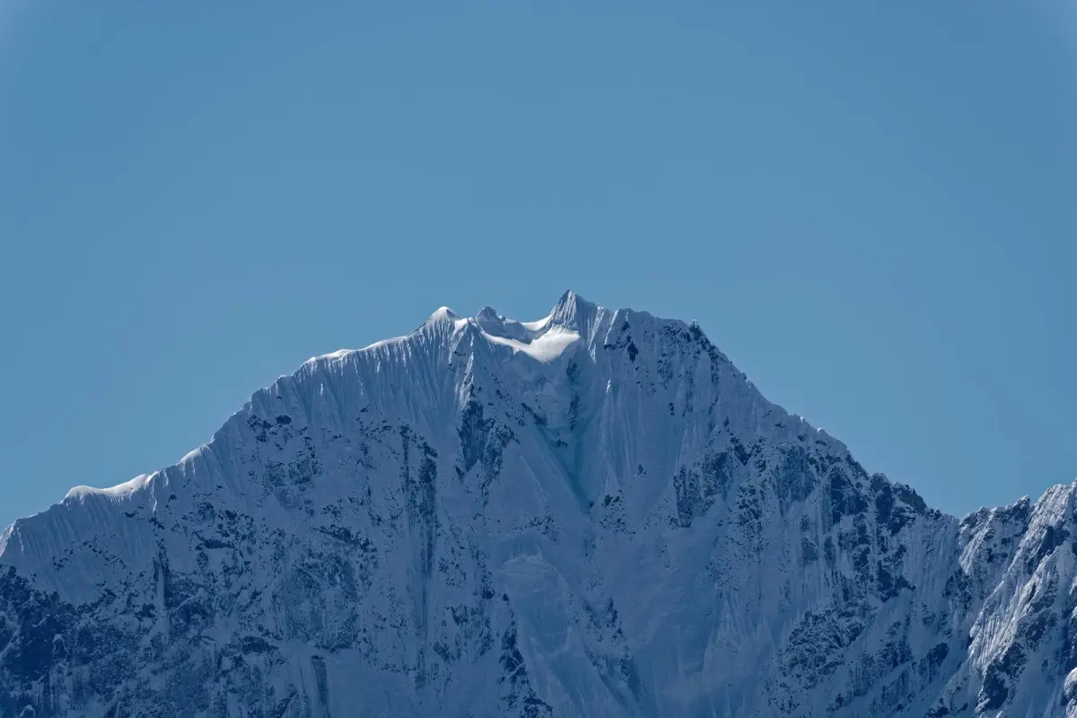
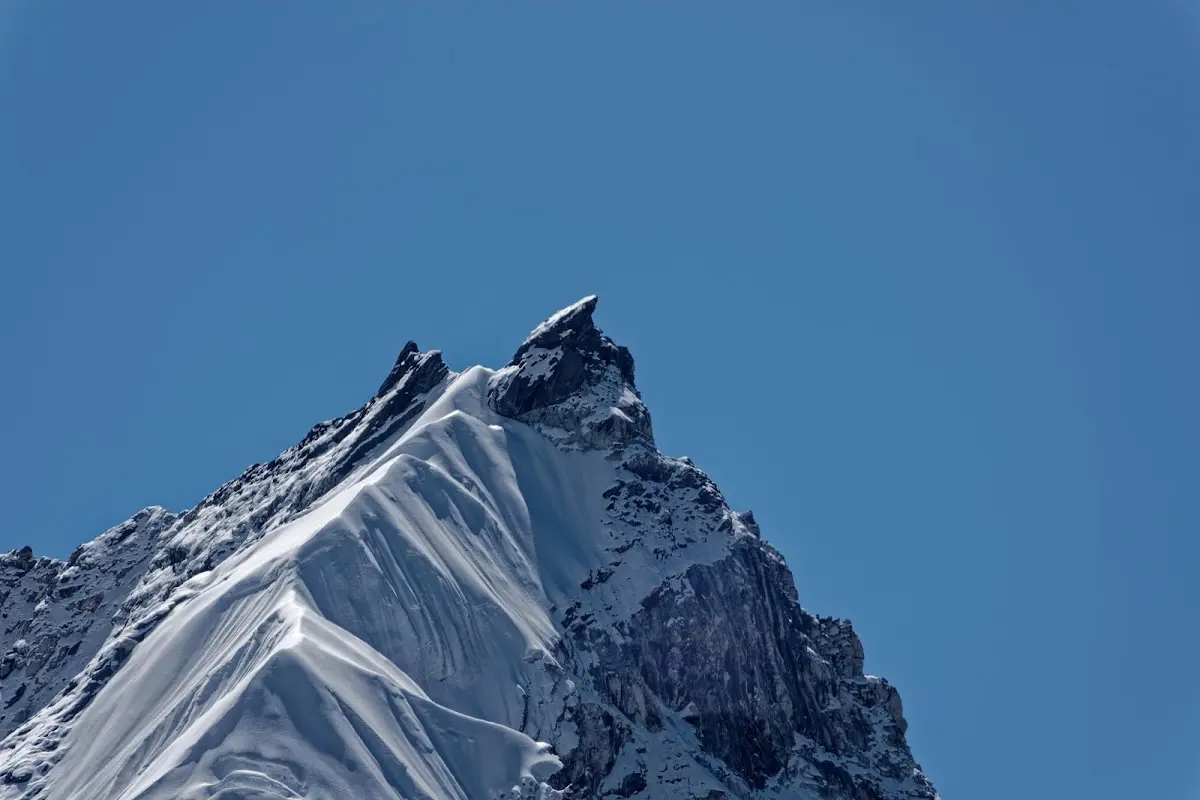
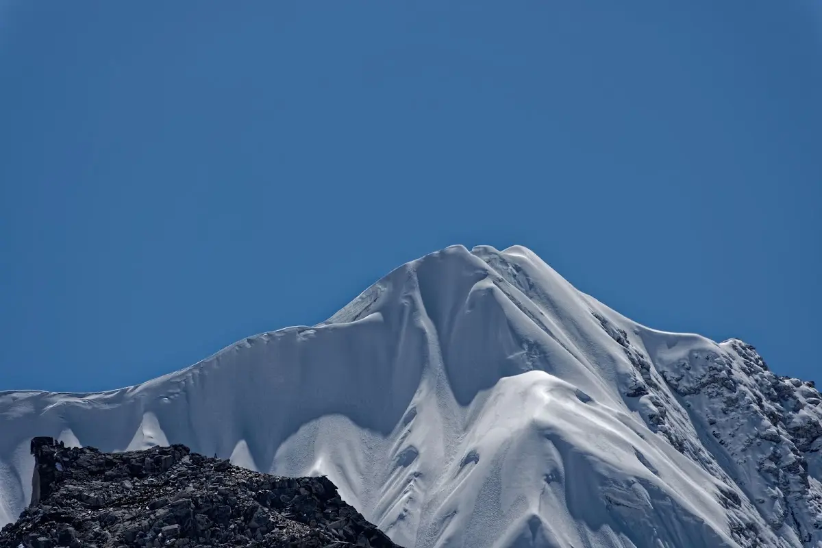
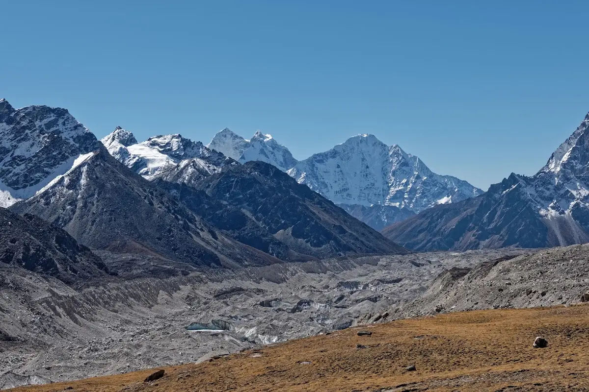
Khumbu glacier and Thamserku in the background
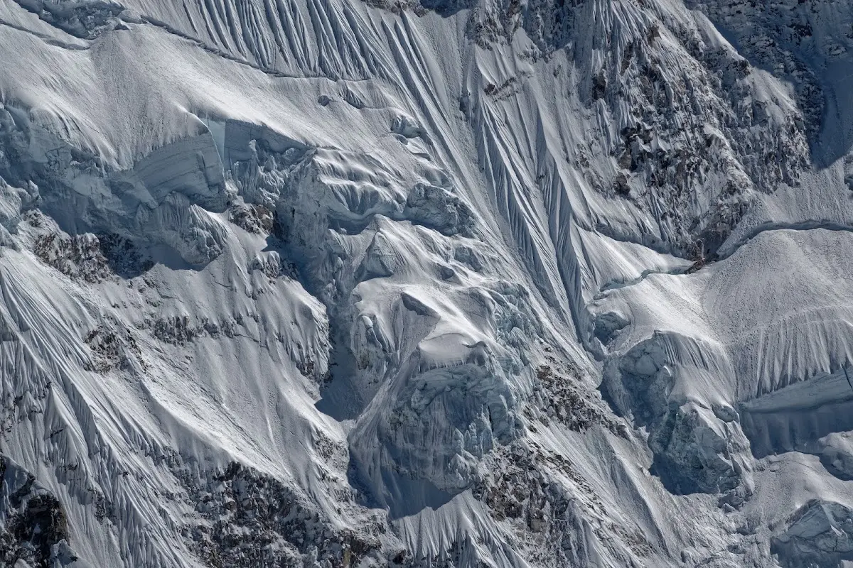
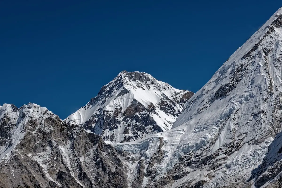
Changtse.
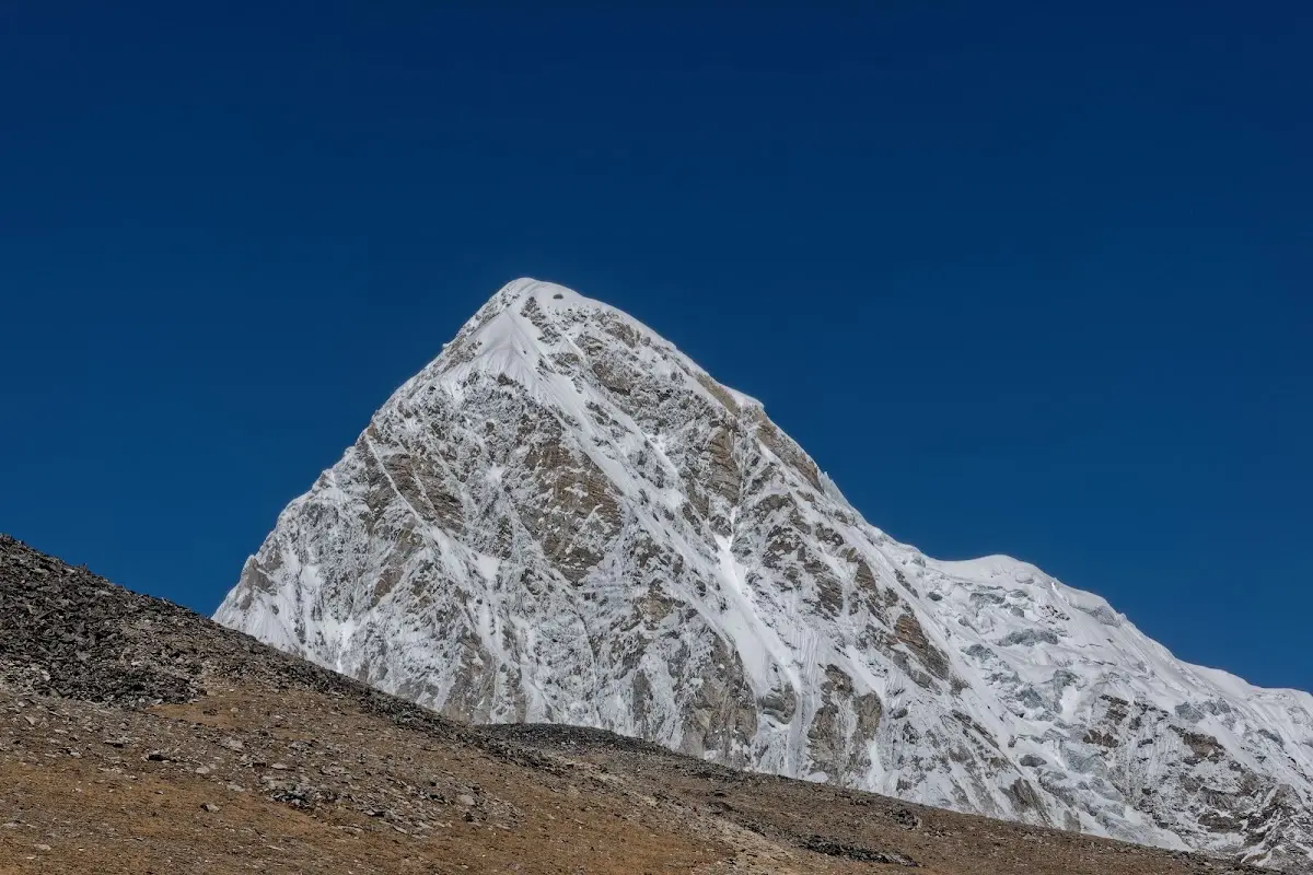
Pumari.
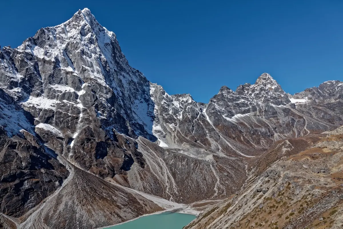
Dzongla
Next day was a very short walk to Dzongla, hardly any up and down. Already at 10 a.m. in the lodge :) Arakam Tse (5904m) on the left.
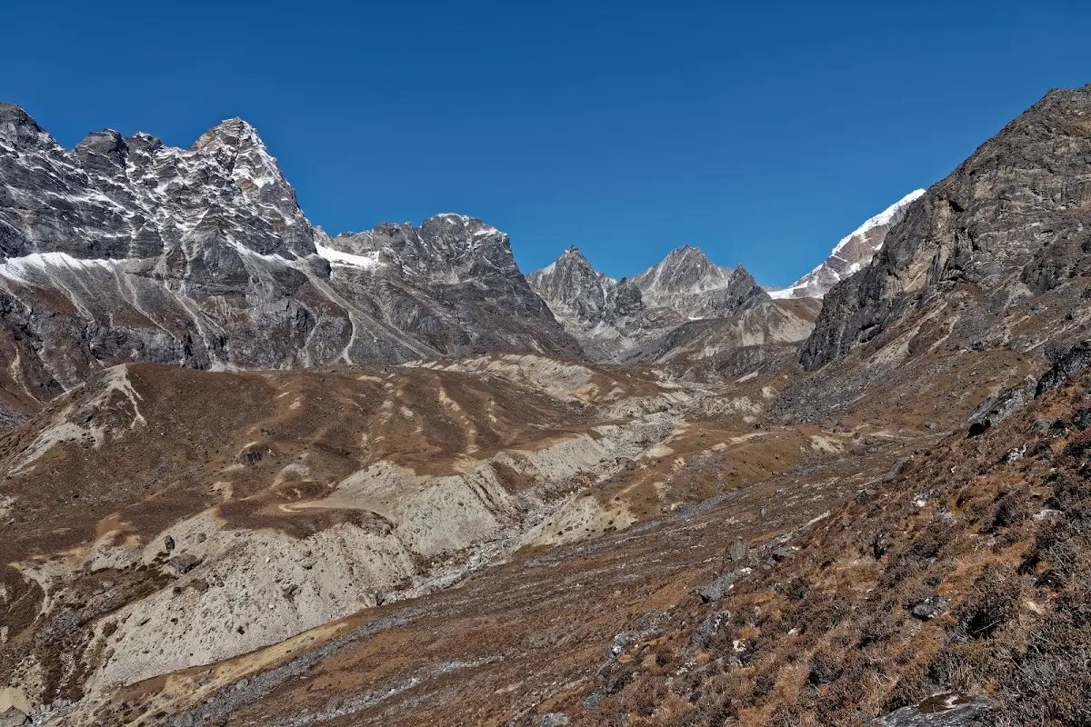
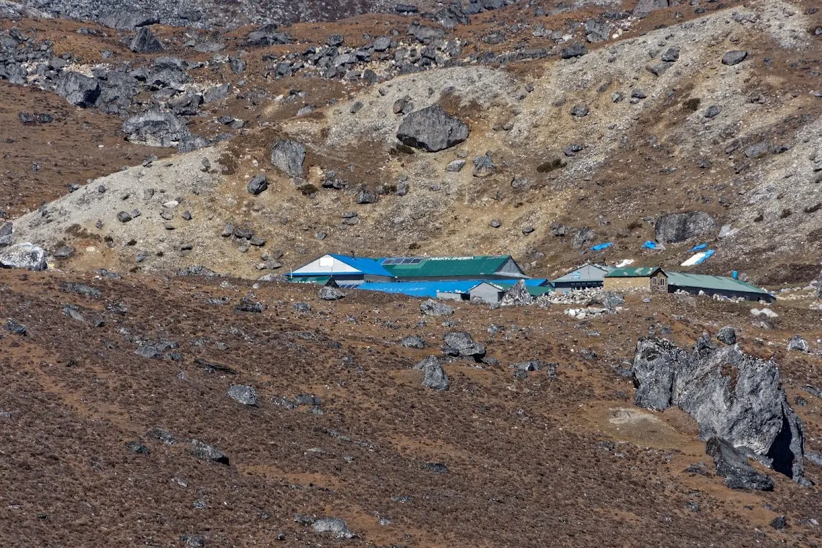
a few lodges in Dzongla, good place to start for Cho La pass.
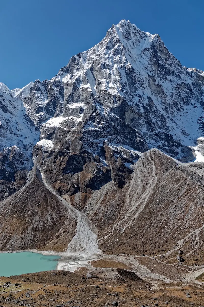
Arakam Tse again.
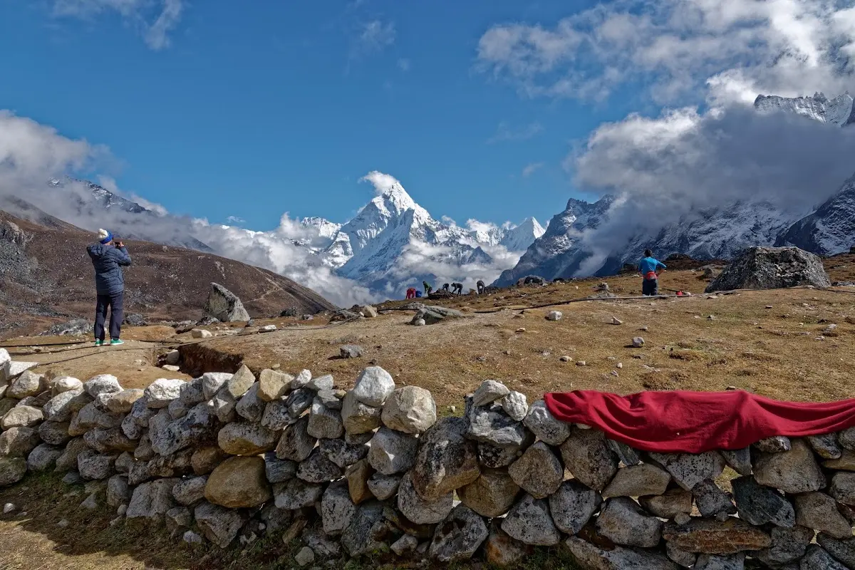
Ama Dablam in the middle.
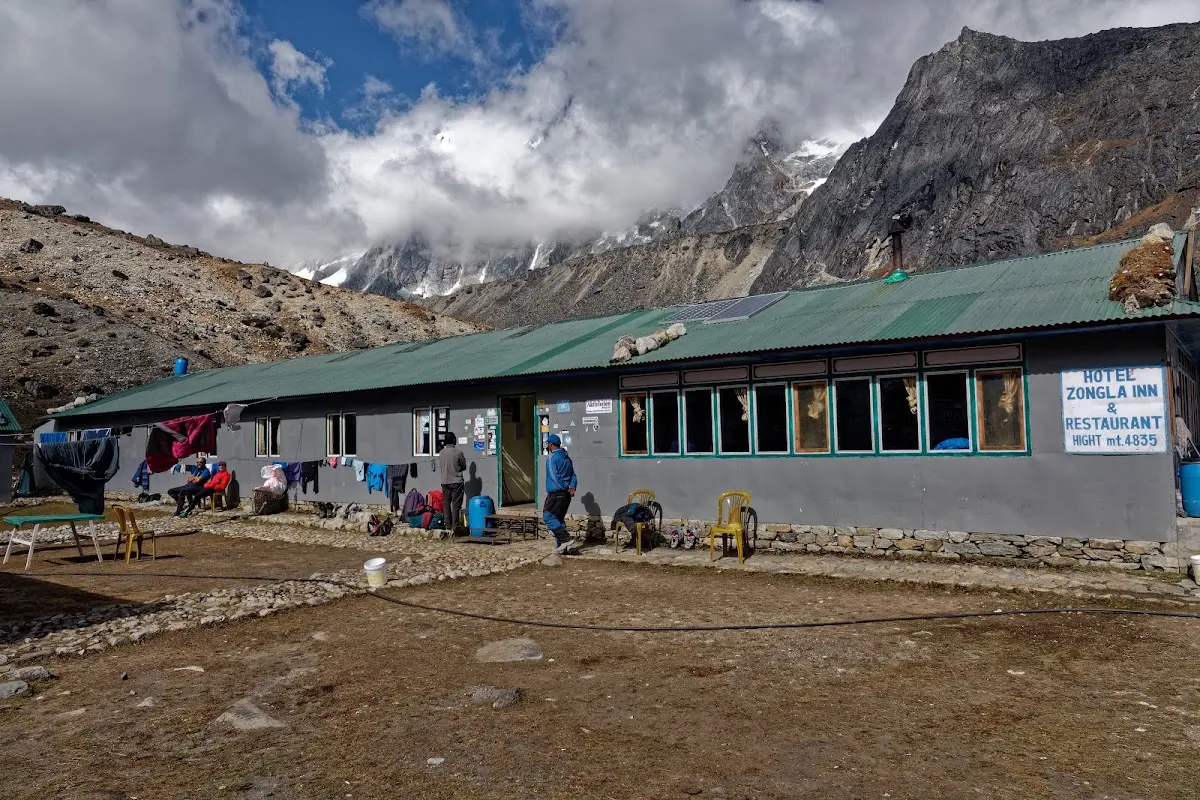
my hotel in Dzongla, for 8 days I was above 4700m day and night.
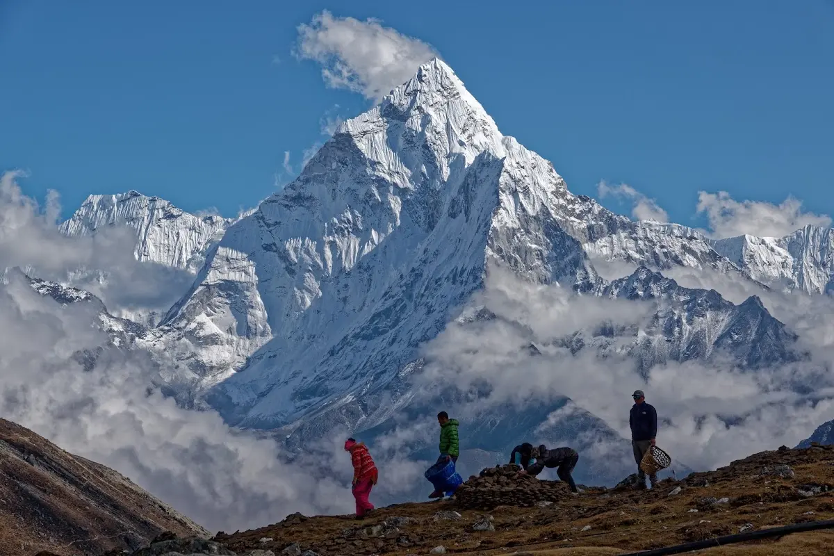
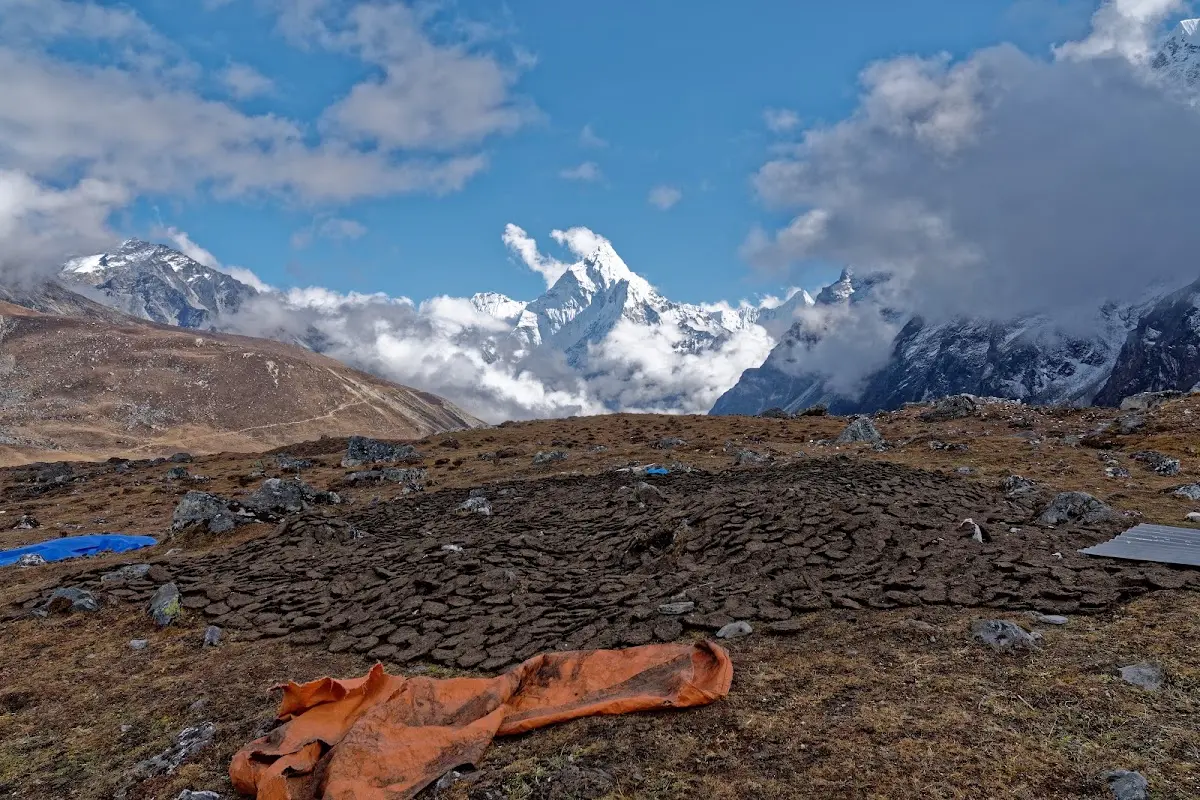
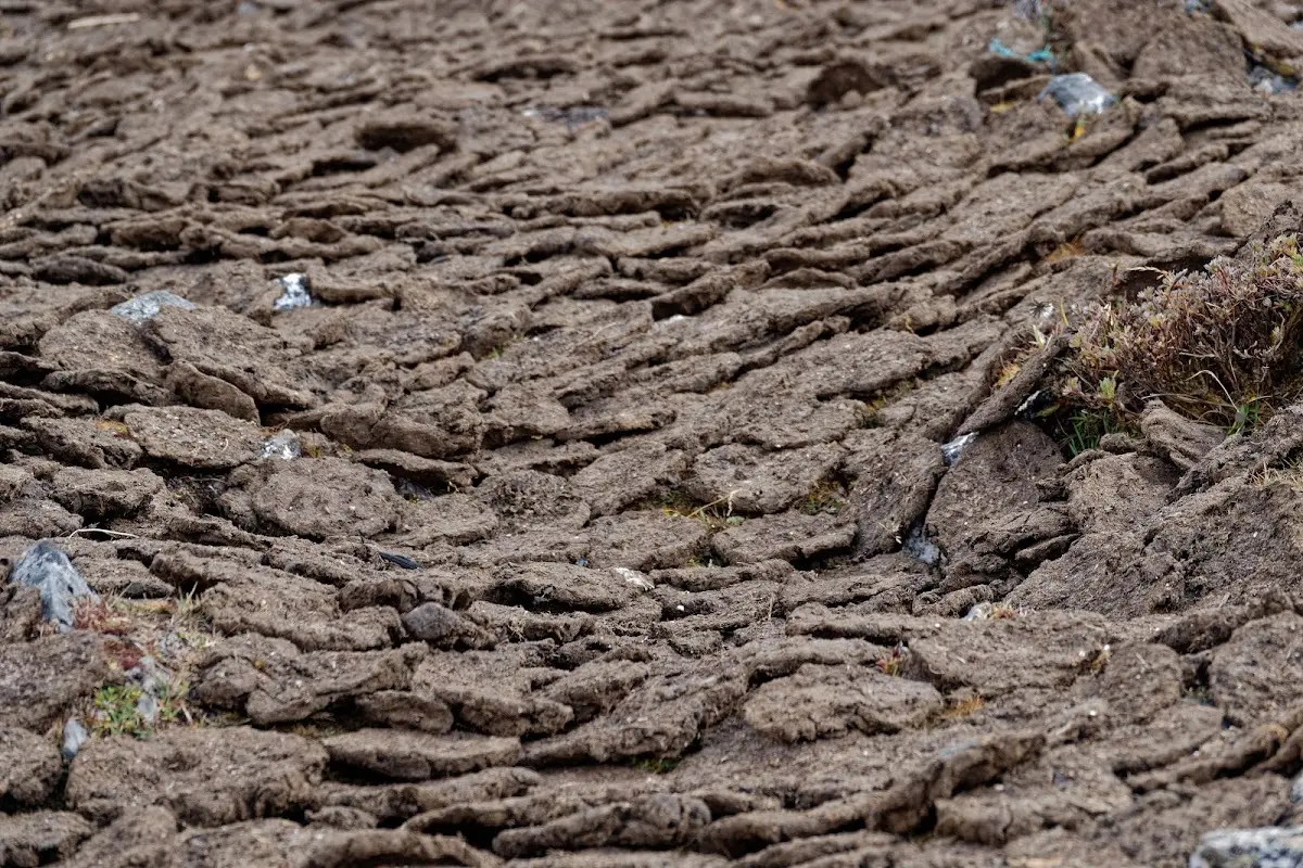
yak dung has to be collected and dried to be able to burn it.
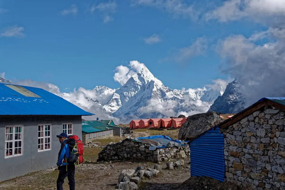
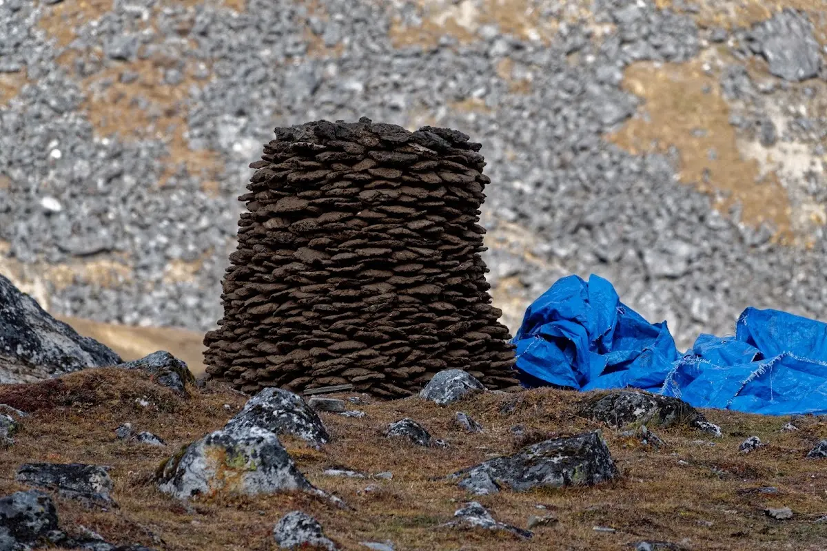
Nuraghe as found in Sardinia?
Three Passes, three parts of the story...