New Zealand 2011/12 - Part 6 of 8
Deutsch | English
From Wellington to Art Deco Napier and through cold rainforest to the hot springs of Taupo and the volcanoes of Tongariro NP
Route 52
Wellington was a wet, cold and windy city, and on this morning too I set off wearing a rain jacket and gloves. A few metres of climbing had to be overcome as far as Masterton, and then began a quiet stretch for many kilometres, Route 52 through lonely hill country.
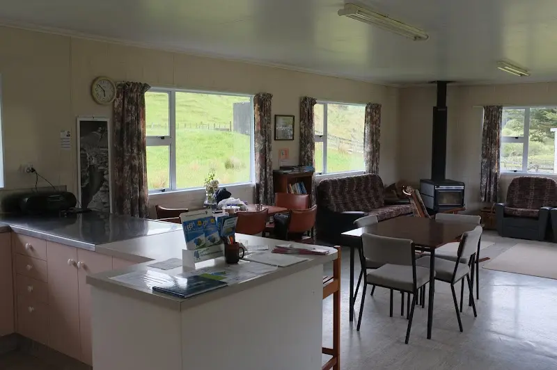
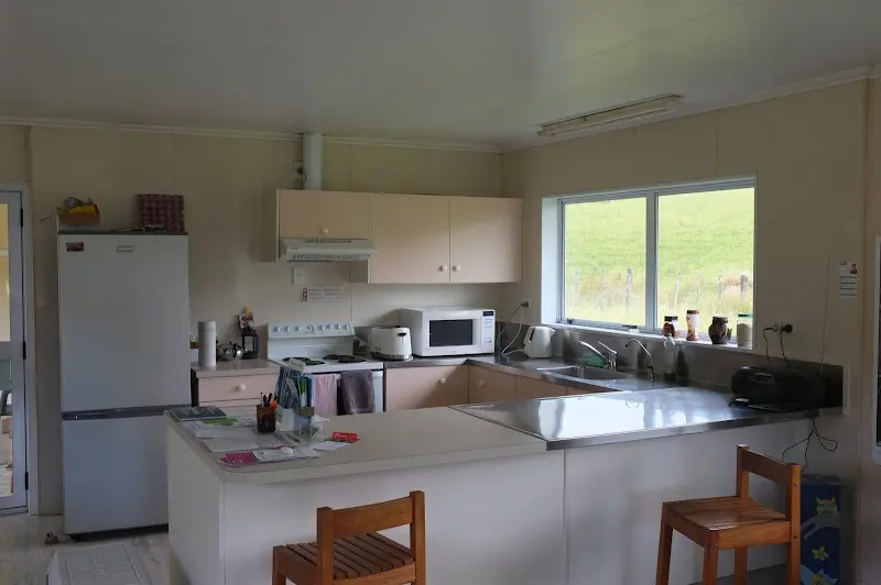
As an example, 2 pictures of the common room/kitchen of a backpacker lodge in front of which I pitched my tent, not much going on and very pleasant on a cool evening.
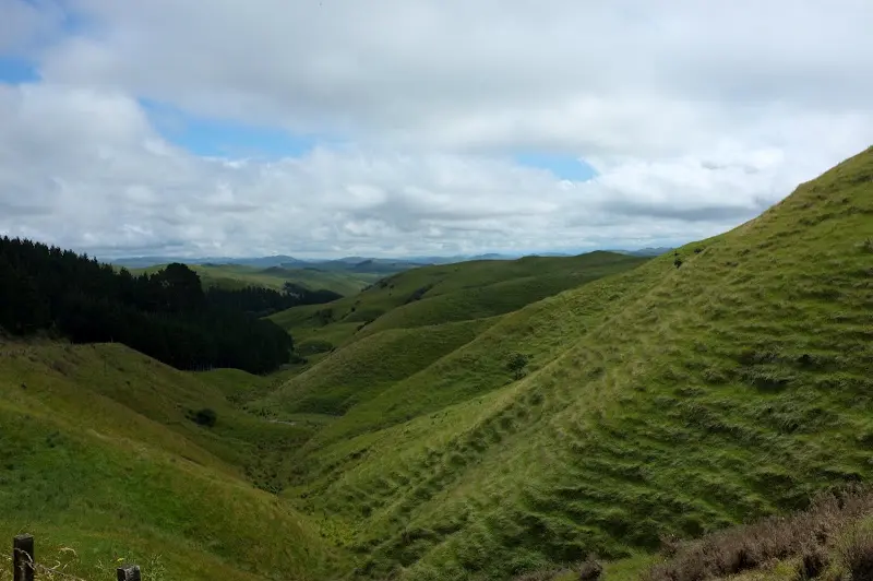
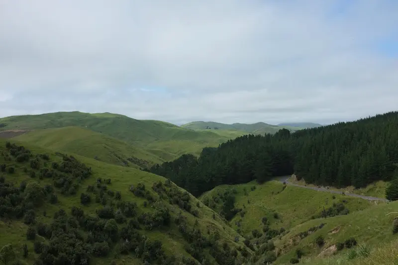
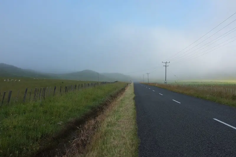
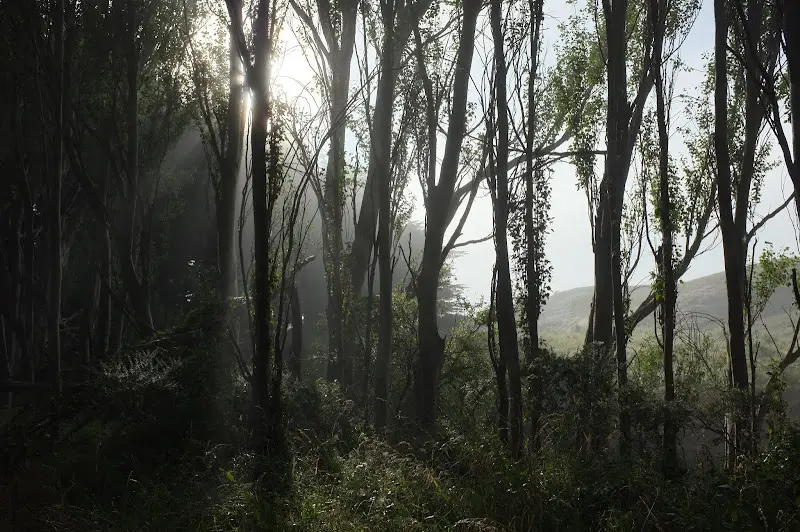
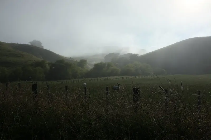
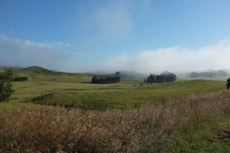
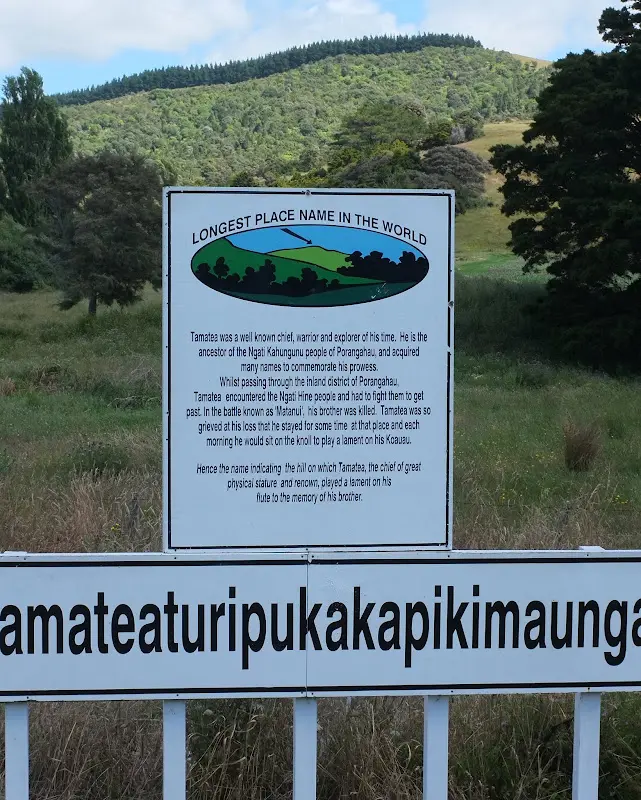
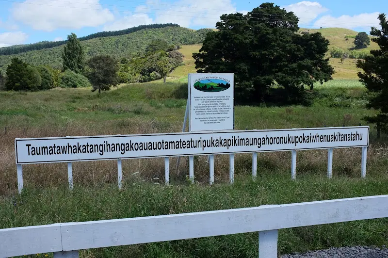
One of the main attractions of Route 52 was the longest place name in the world :)
Napier
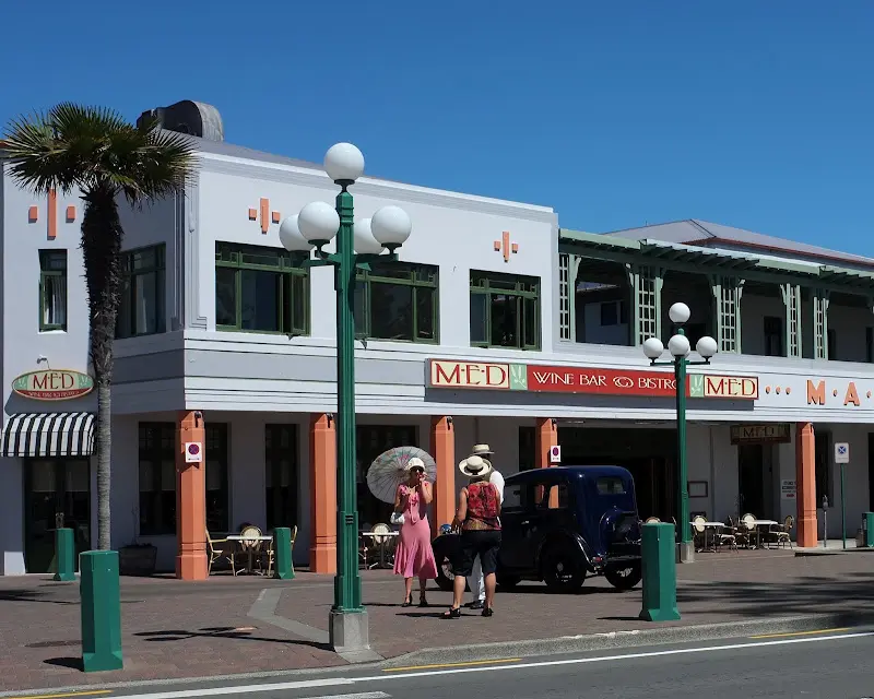
Finally I reached Hastings and Napier on the east coast. Large parts of Napier were destroyed by an earthquake in 1931 and were rebuilt afterwards in the then modern Art Deco style.
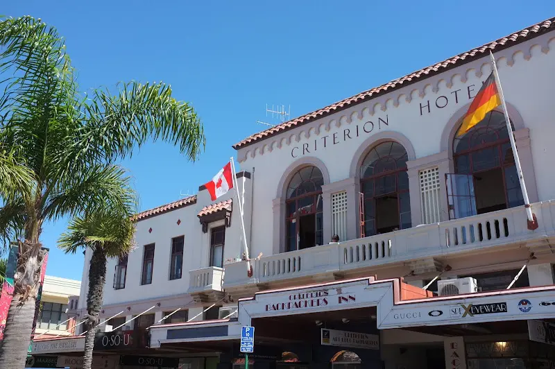
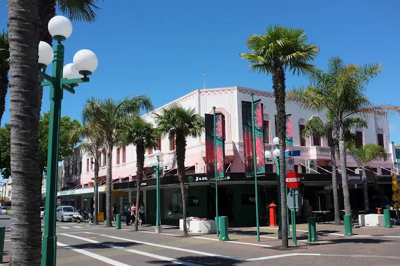
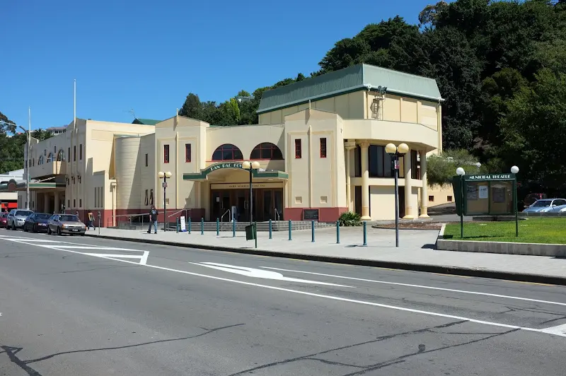
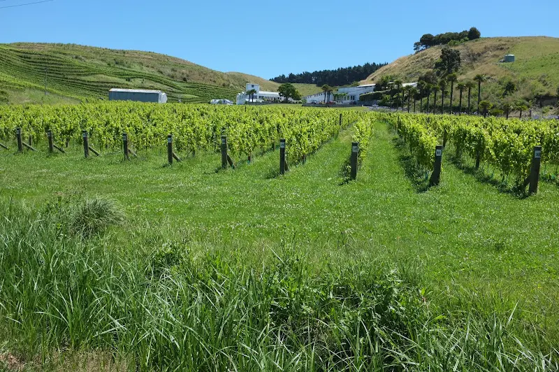
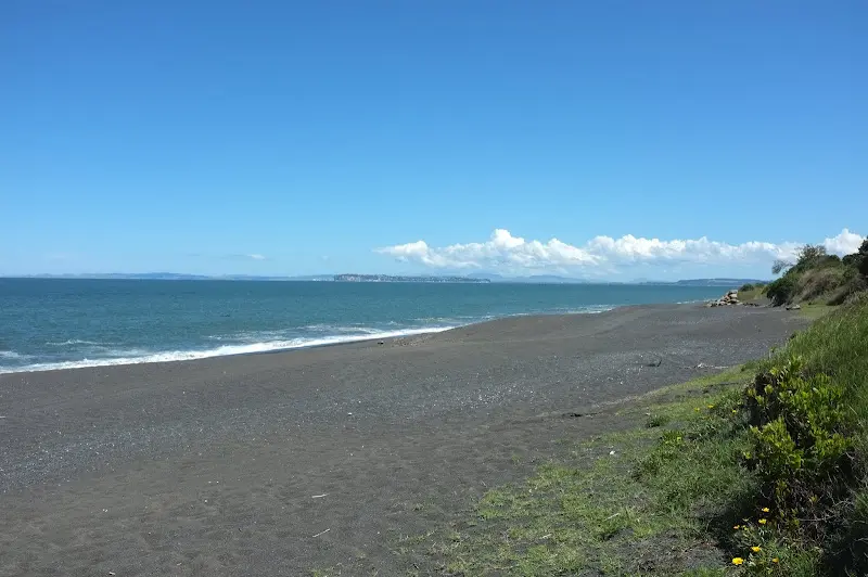
Lake Waikaremoana
After a night at Lake Tutira, the next day it went via Wairoa to Lake Waikaremoana.
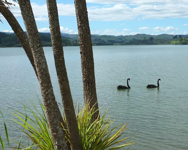
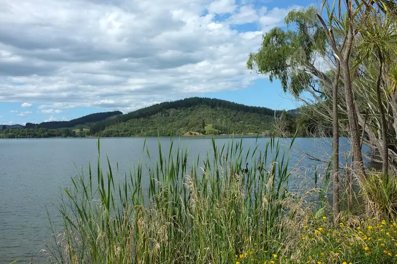
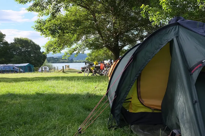
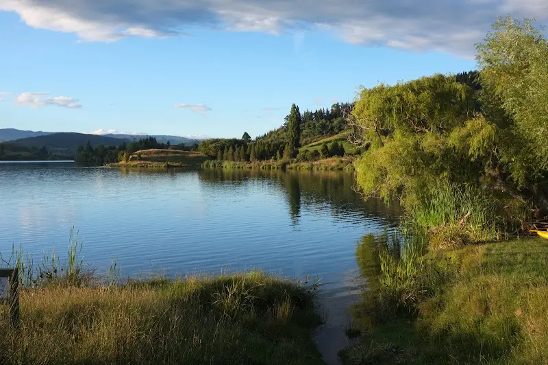
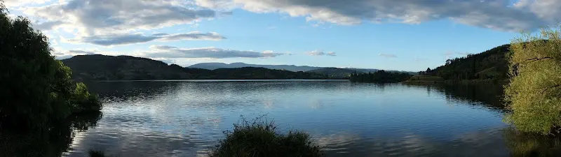
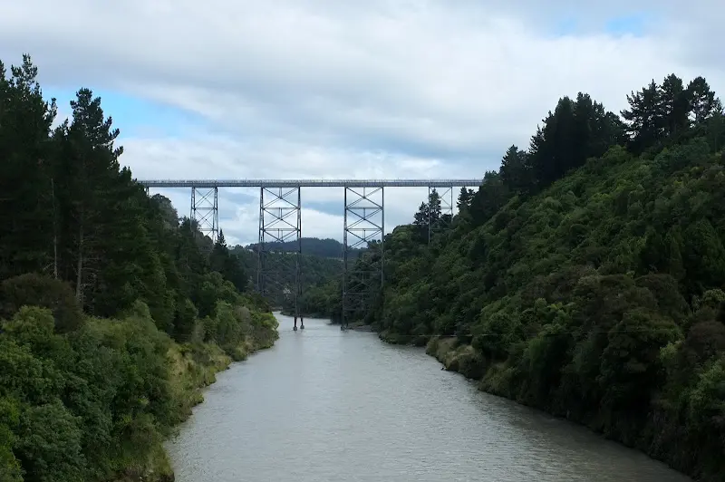
Among other things past New Zealand’s highest railway bridge, which has just one tiny flaw: the tracks for a continuous connection were never completed.
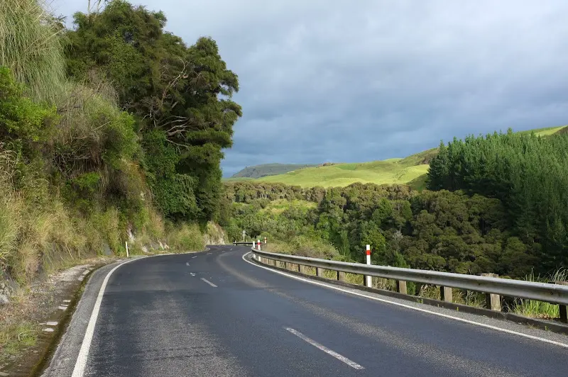
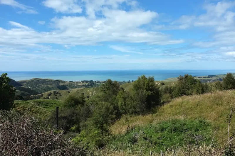
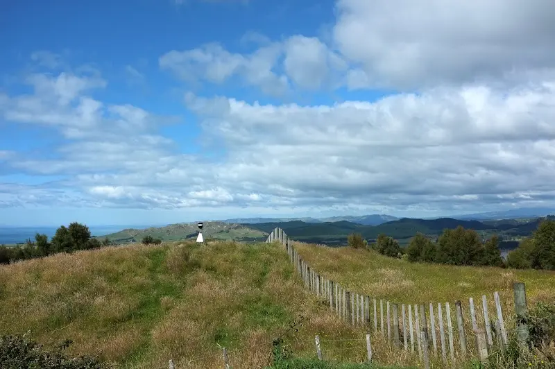
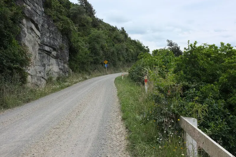
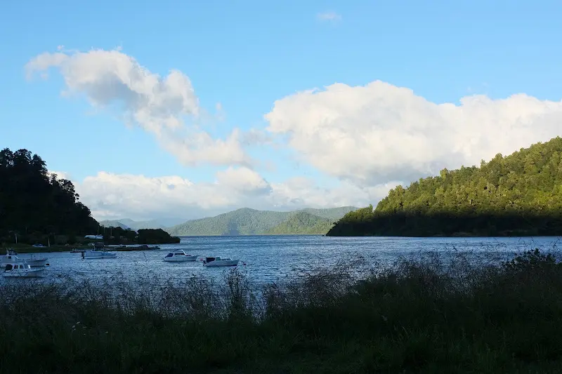
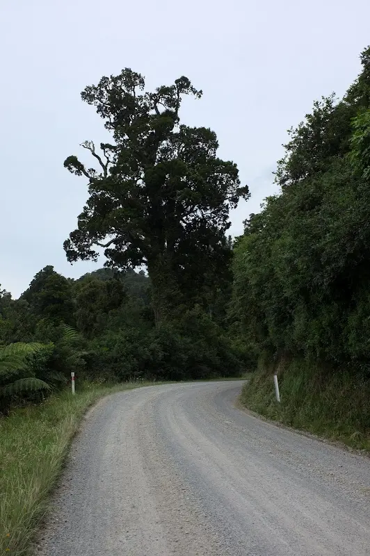
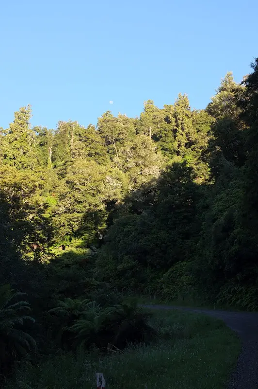
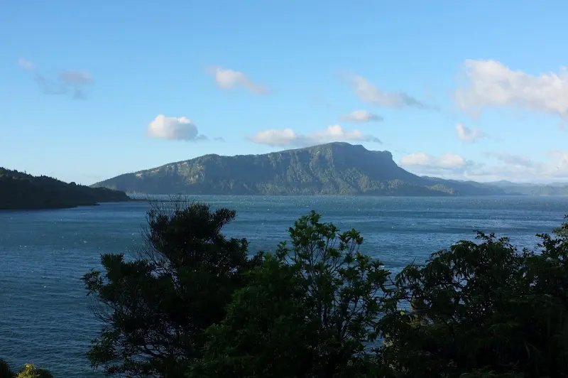
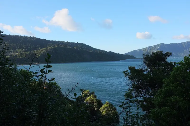
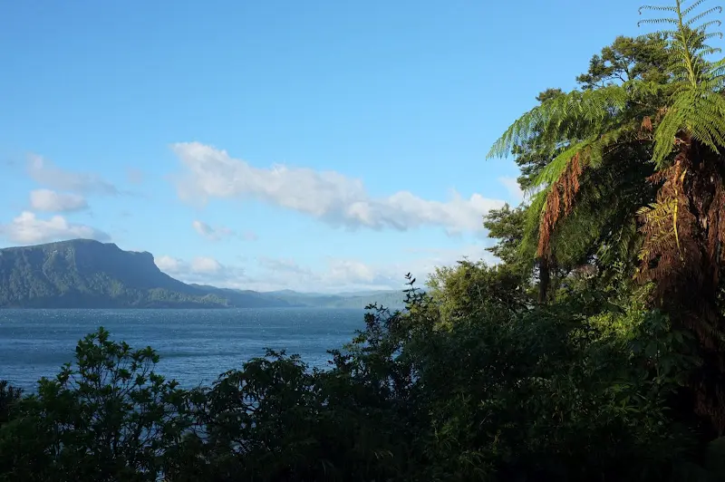
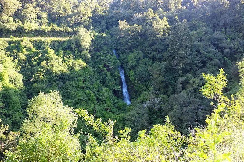
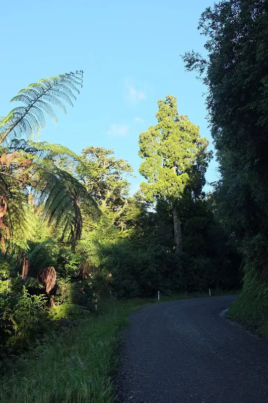
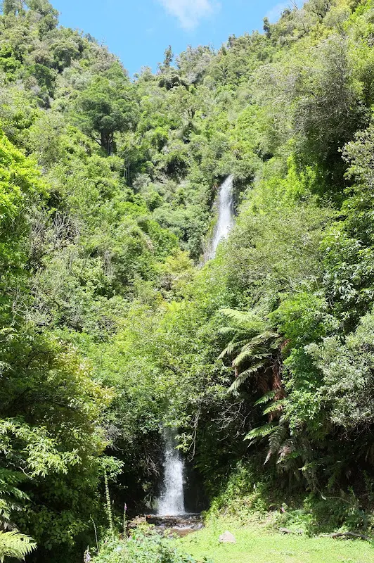
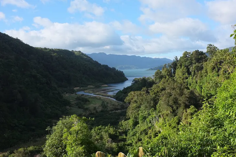
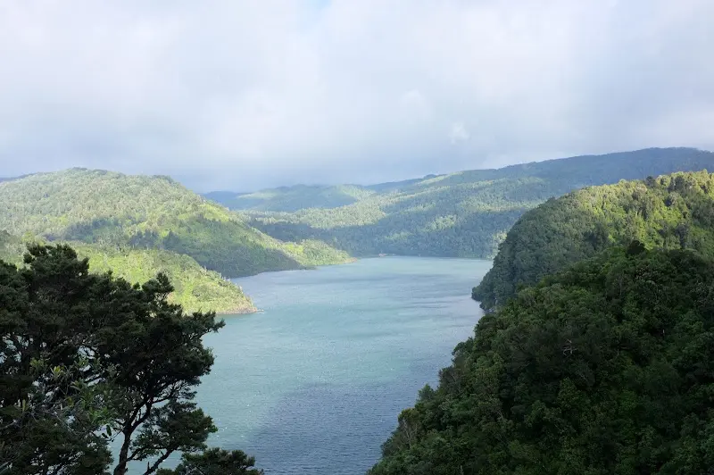
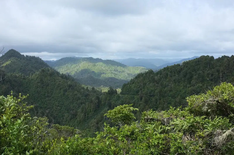
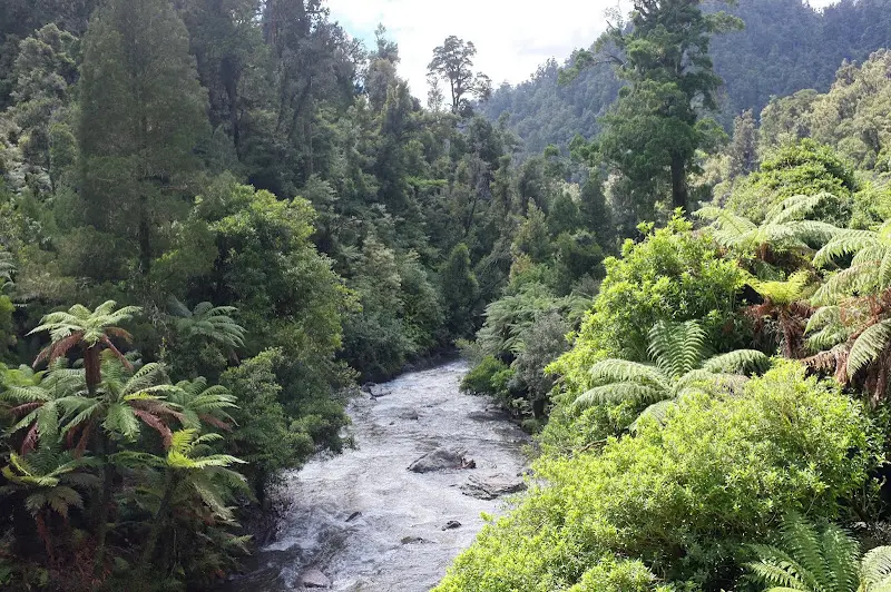
Lake Waikaremoana and the road inland towards Rotorua are to a large extent unpaved and have some climbs. The author of the booklet “Pedallers' Paradise” writes of a scenic ordeal :)
Many kilometres of lonely road through cold rainforest and fantastic lakes and rivers.
Taupo
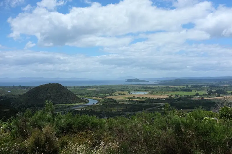
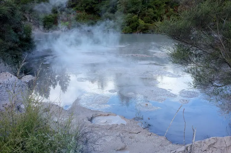
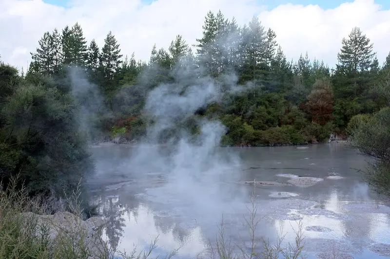
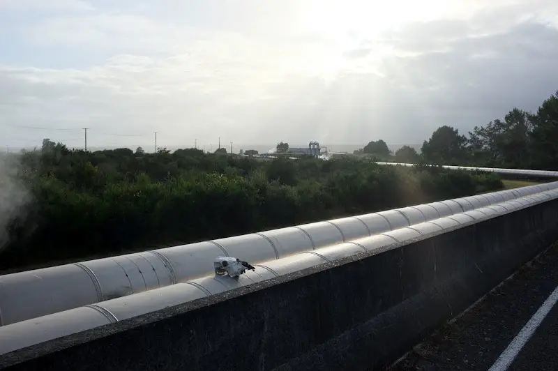
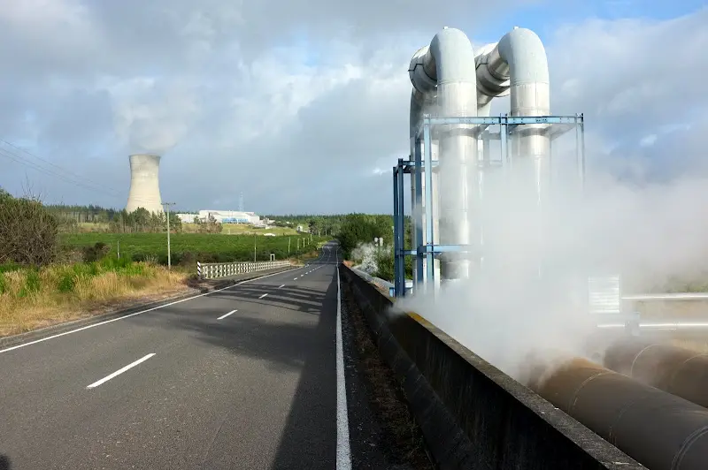
Towards Taupo the area of volcanoes and hot springs began, here for example the mud pool of Wai-O-Tapu. But the geothermal heat is occasionally also used commercially.
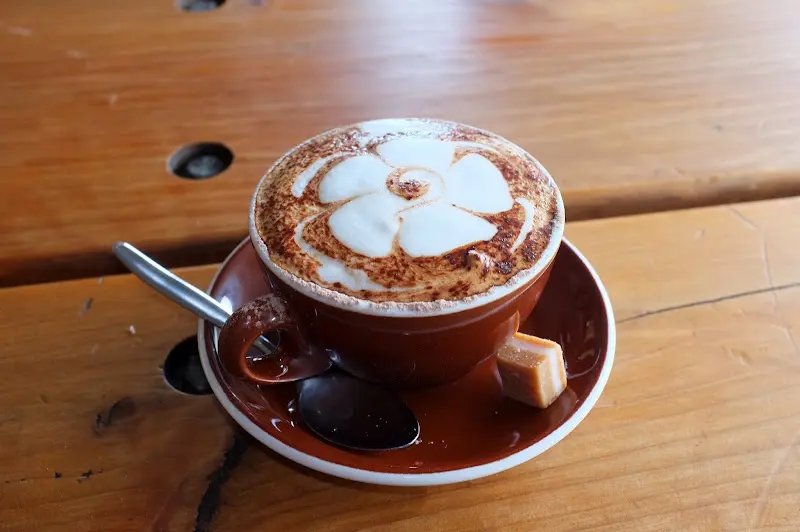
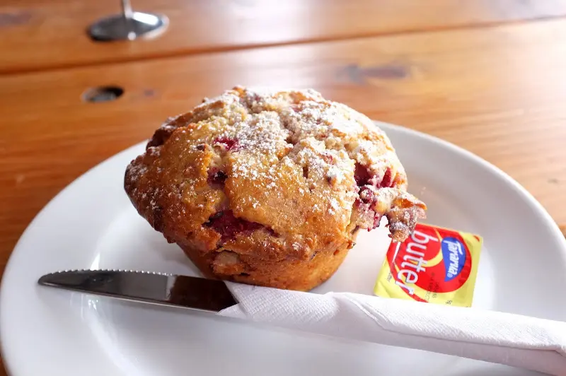
Taupo was a very pleasant town on the shore of the big Lake Taupo; here, for once, a picture of the food in a café there, a cup of coffee and a muffin, slightly warmed.
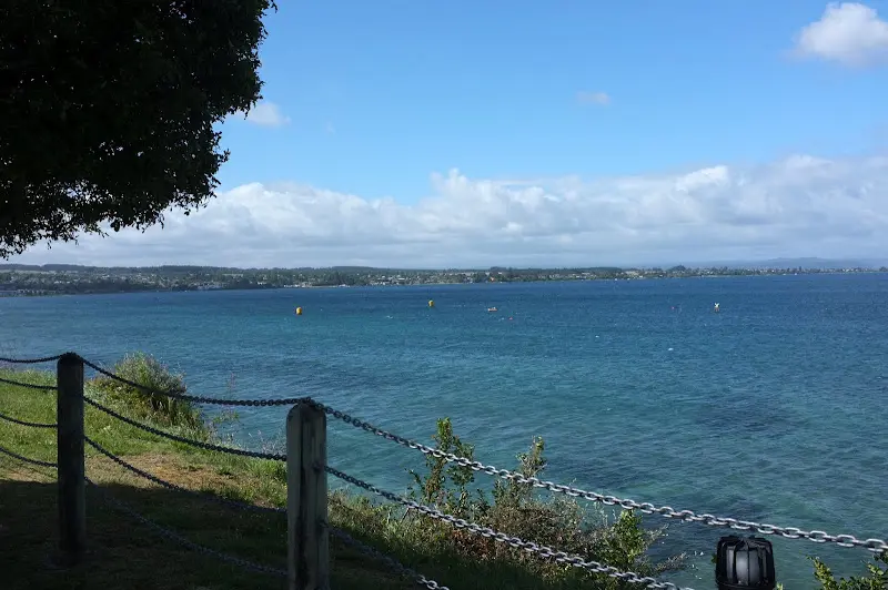
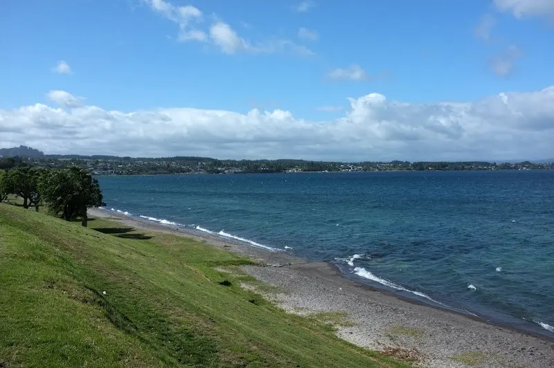
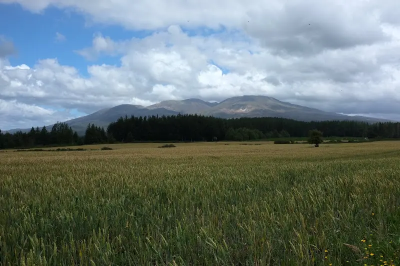
Before I then, fortified, cycled along the lakeshore via Turangi into Tongariro National Park