Iceland by Bike 2013 - Part 1
Deutsch | English
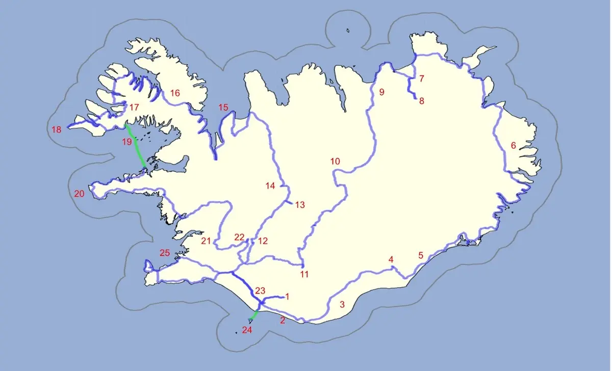
1 Þórsmörk hiking area 2 Between Skógafoss and Vik 3 Mýrdalssandur and other sandur plains 4 Skaftafell and Svartifoss 5 Jökulsárlón 6 The East Fjords and the northeast of Iceland 7 Asbyrgi and 8 Dettifoss 9 Husavik | 10 Highland track Sprengisandur 11 Landmannalaugar 12 Gullfoss 13 Kerlingarfjöll 14 Hveravellir 15 Vatnsnes peninsula 16 The Westfjords 17 Dynjandi waterfall | 18 Látrabjarg 19 Flatey 20 Snæfellsnes 21 Þingvellir 22 Geysir 23 Seljalandsfoss 24 Vestmannaeyjar 25 Reykjavík |
1 Þórsmörk hiking area
It will still take a while until we are in Þórsmörk, as the heading promises. A direct flight from Munich brought me and my bicycle to Keflavík in mid-July, Iceland’s international airport (about 50 km southwest of the capital Reykjavík).
I wanted to get going, and the weather did not invite me to linger at first either, so I cycled past the Blue Lagoon to Grindavík. Grindavík is one of the most important fishing towns in Iceland; among other things herring, capelin, wolffish and cod are caught and processed there, although the processing methods have changed: until the 19th century the fish was dried, then it was put in salt and nowadays it is frozen. A museum gives information on fishing and processing methods.
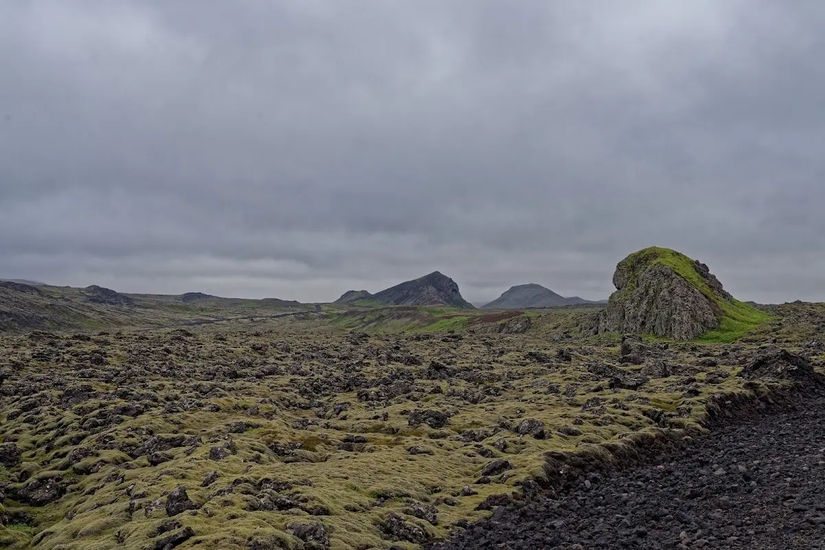
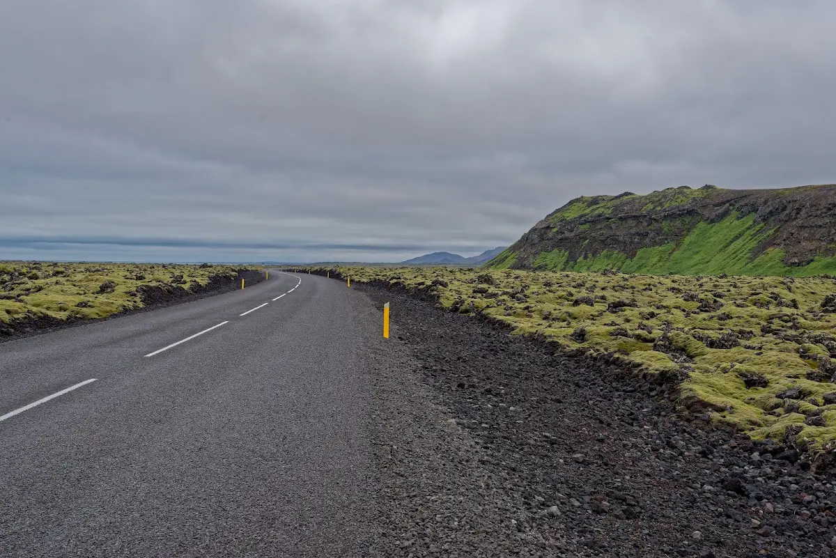
Through various lava fields the road led along the coast to Þorlákshöfn and finally took me a little inland to Selfoss, where cycle tourists can stock up well; further east it gets rather sparse in that respect. As a flying pharmacy I had imported various plasters to Iceland for the emergency care of a Munich cyclist friend who had scalded the back of his foot with pasta water in Iceland, and we had arranged to meet there around noon.
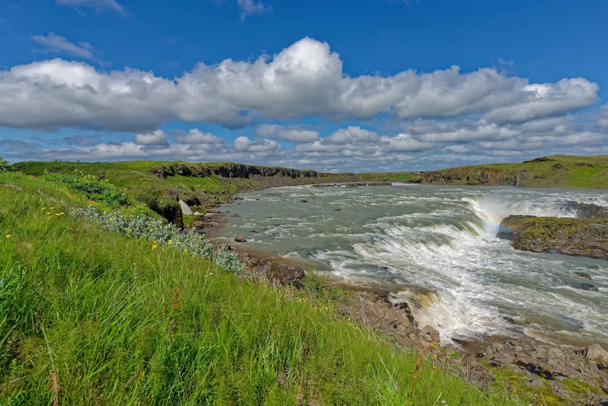
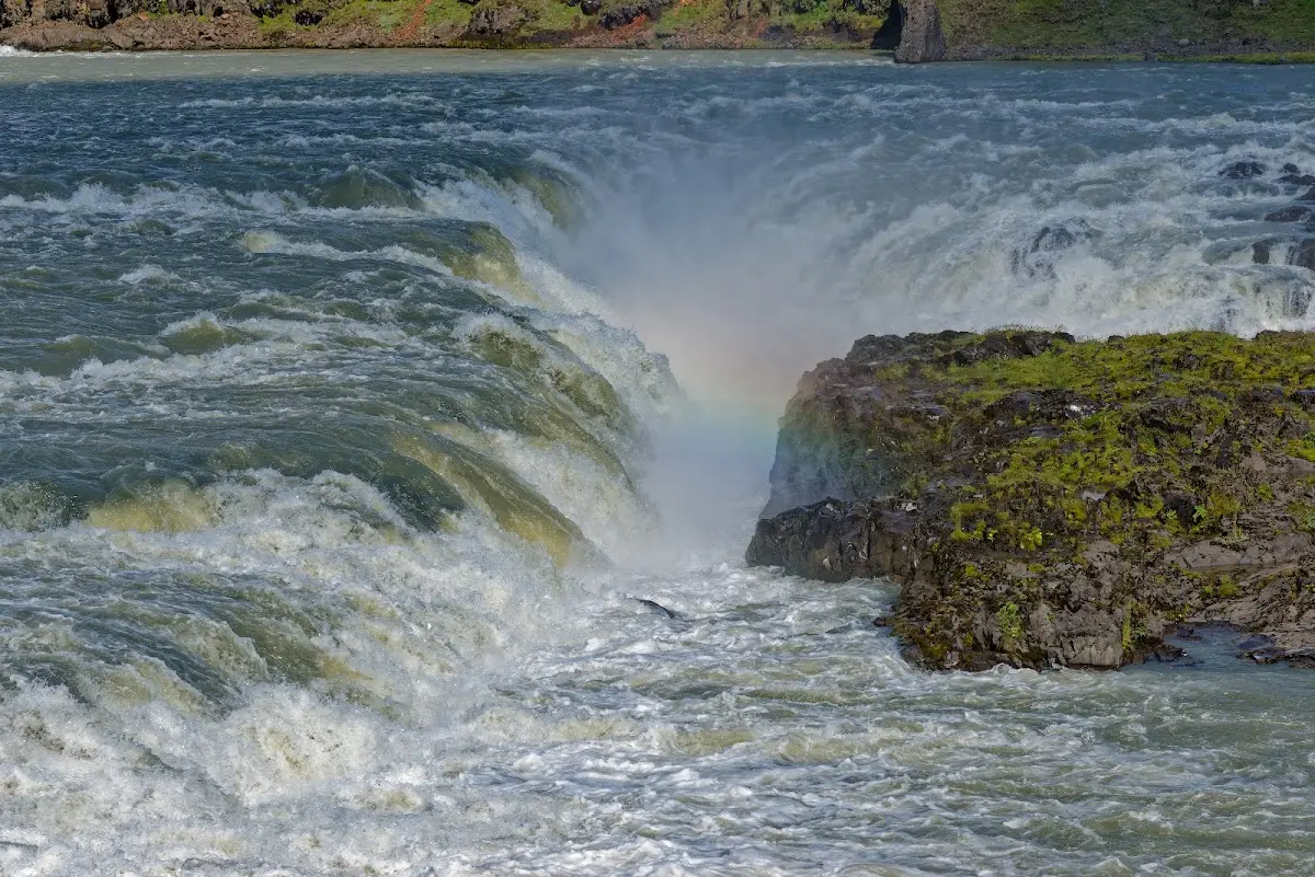
Leaving Selfoss to the east, now on the famous Hringvegur (Ring Road), also called Þjóðvegur (national road), I passed the Urriðafoss, the waterfall with the most water in Iceland. The river Þjórsá brings in about 360 m³/s from the highlands.
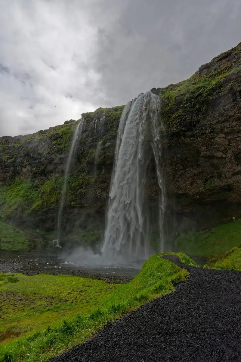
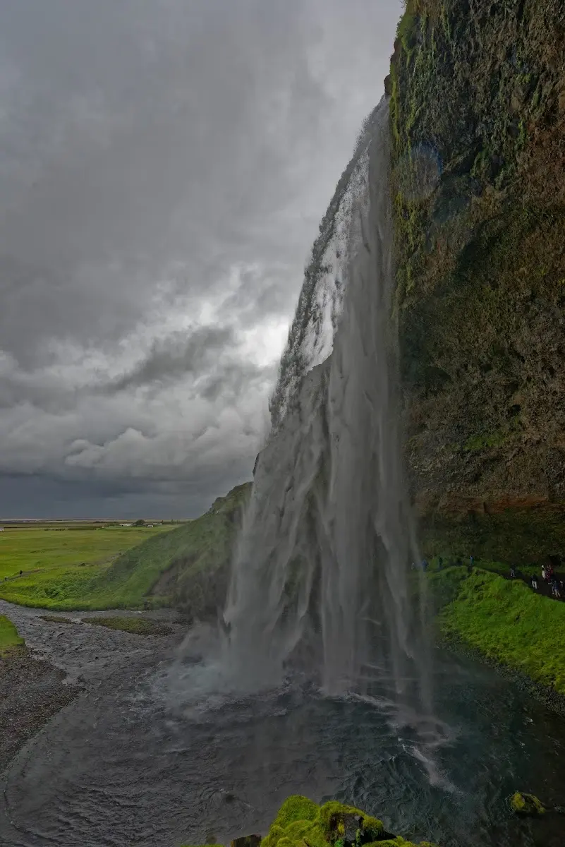
The sunshine, which had shown itself in the afternoon, was over for the time being, and the Seljalandsfoss showed its gloomy side. Even so, many tourists were visiting, and you can walk along a path behind the waterfall (where, depending on the wind direction and strength, you get properly wet). At the end of the trip I will be able to show pictures of this waterfall again in sunshine...
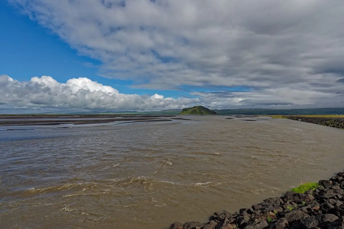
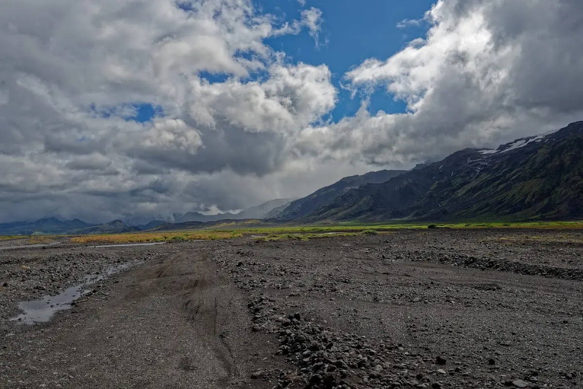
In the weeks before my trip, that is at the beginning of July, it had rained a lot in Iceland. This was probably also noticeable on the way to Þórsmörk: the fords were well filled with water.
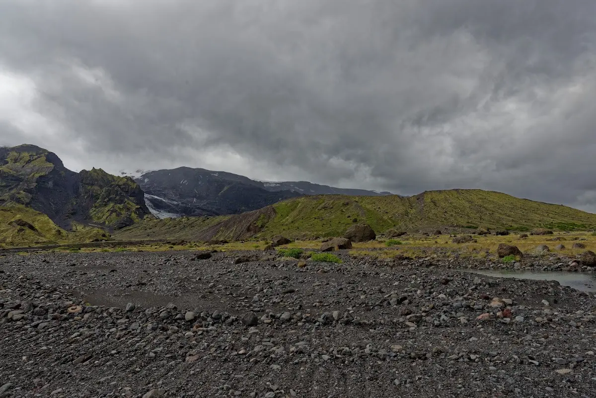
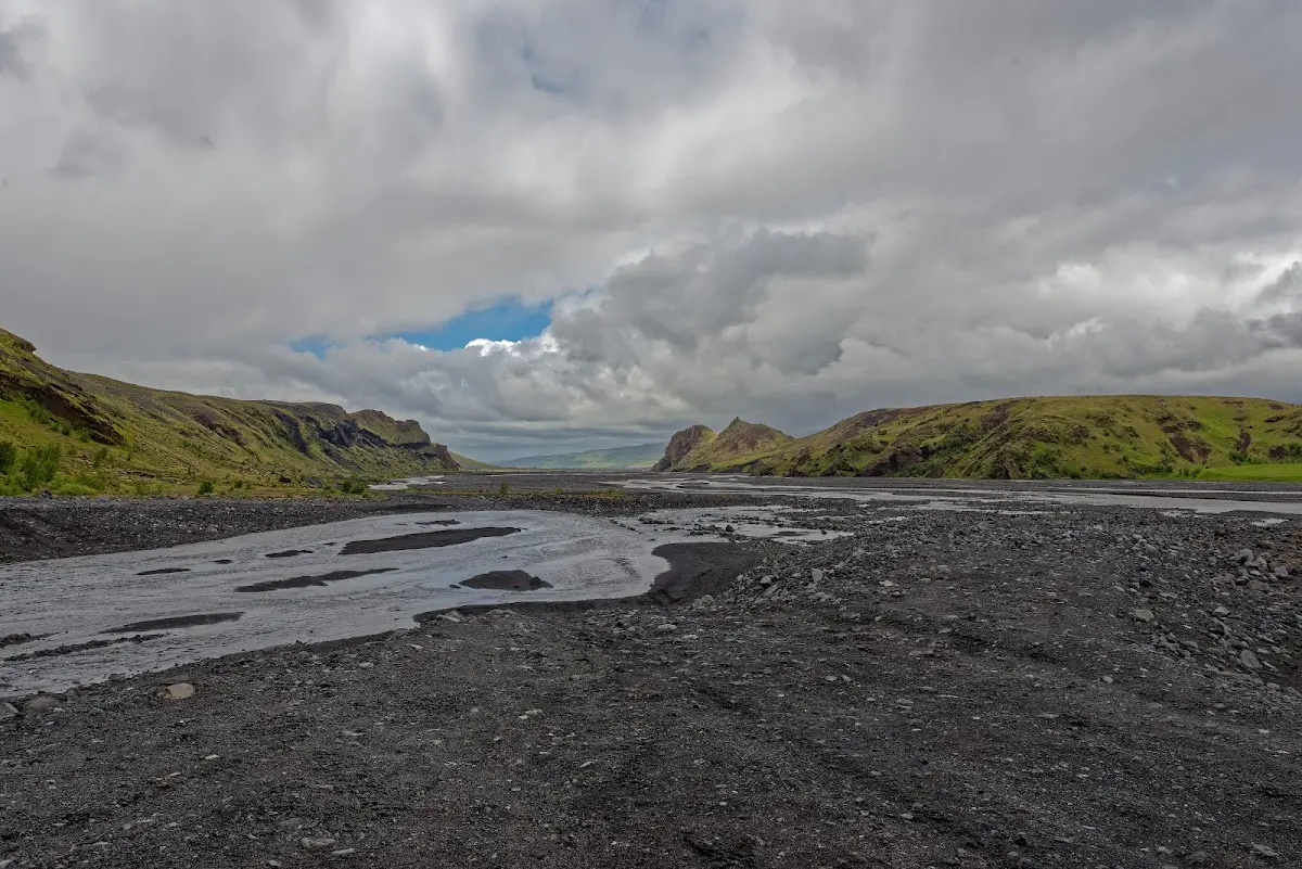
At the Seljalandsfoss a highland track branches off the Ring Road to Þórsmörk. For bikes the track is a dead end, so you have to ride the roughly 40 km back again.
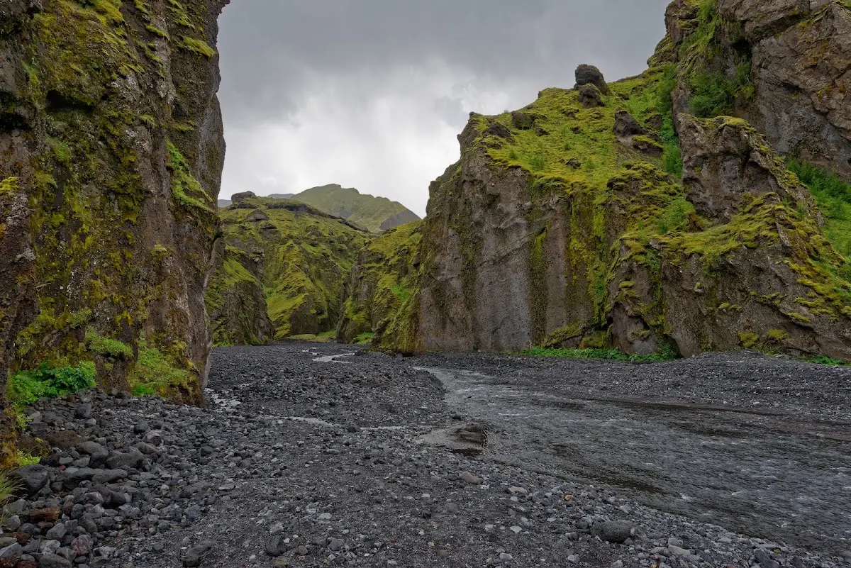
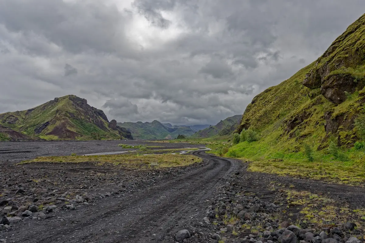
Þórsmörk lies between the rivers Krossá, Þröngá and Markarfljót.
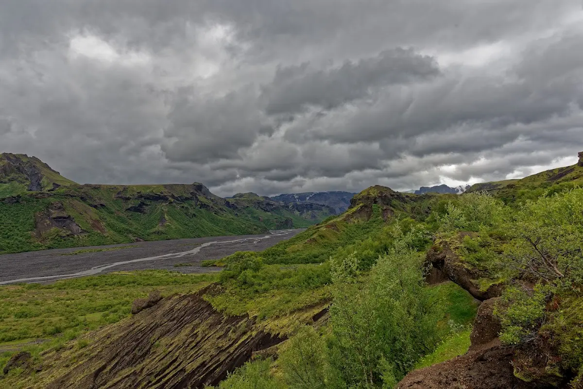
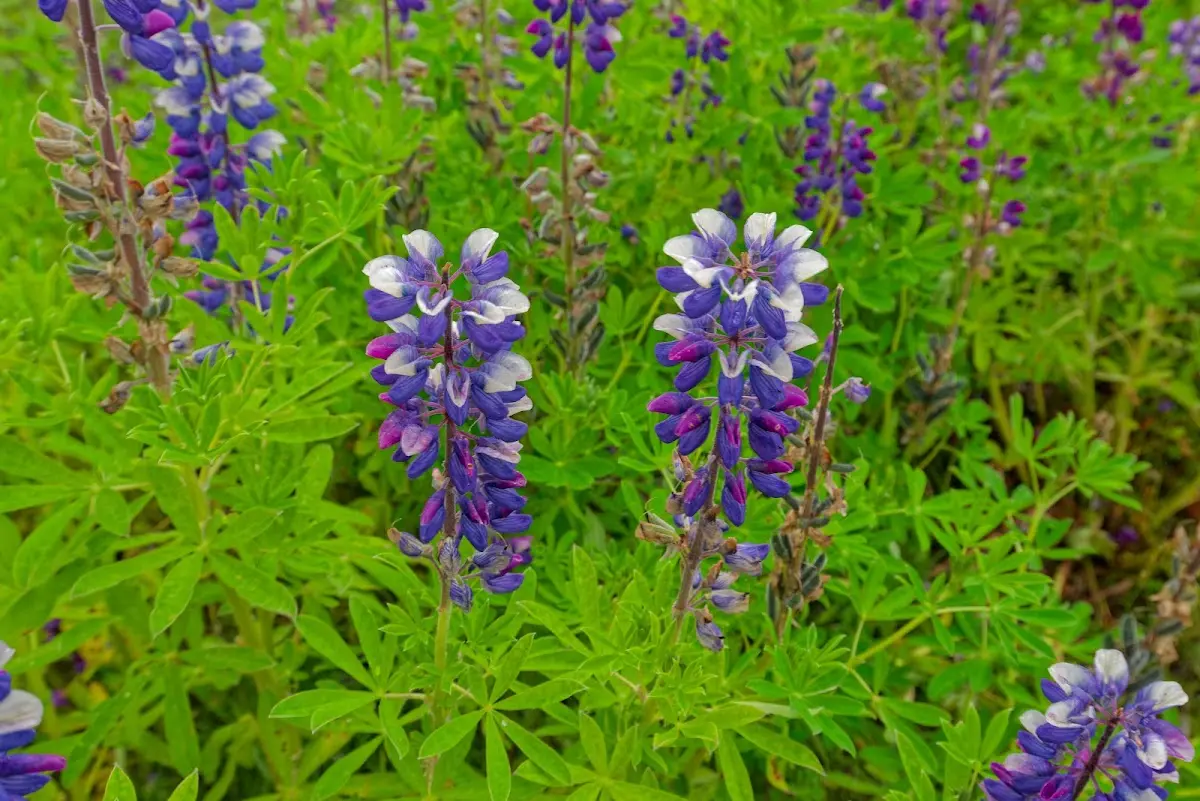
A popular trekking route, the Laugavegur (Icelandic for “the hot springs road”), leads from Skógar on the south coast via Þórsmörk to Landmannalaugar.
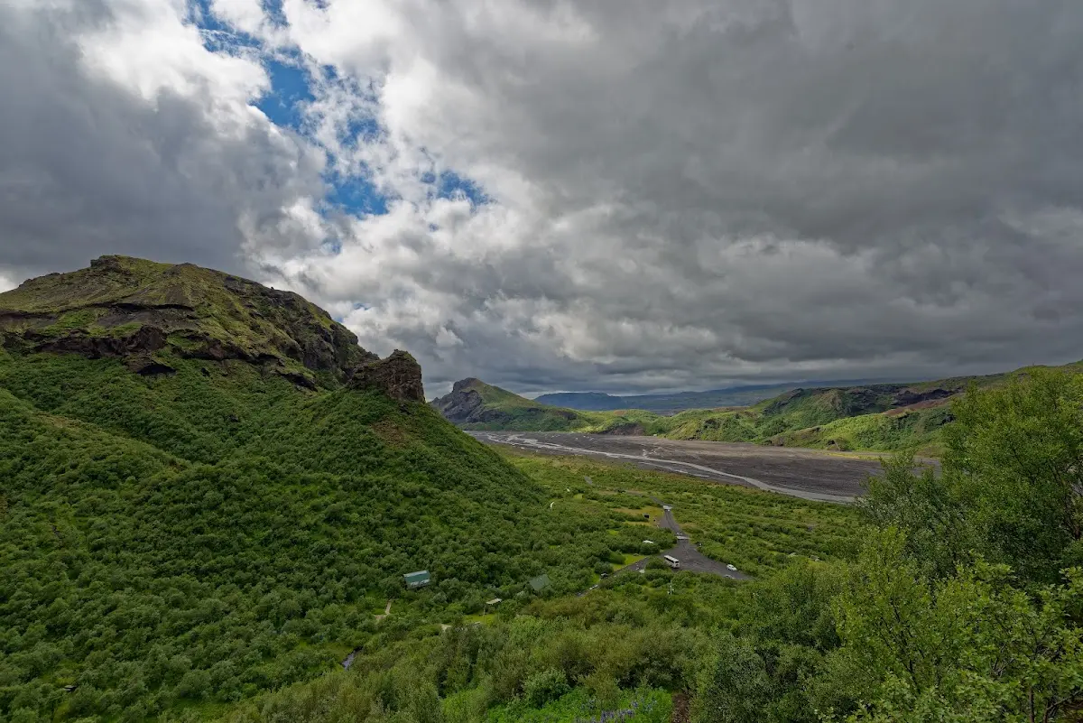
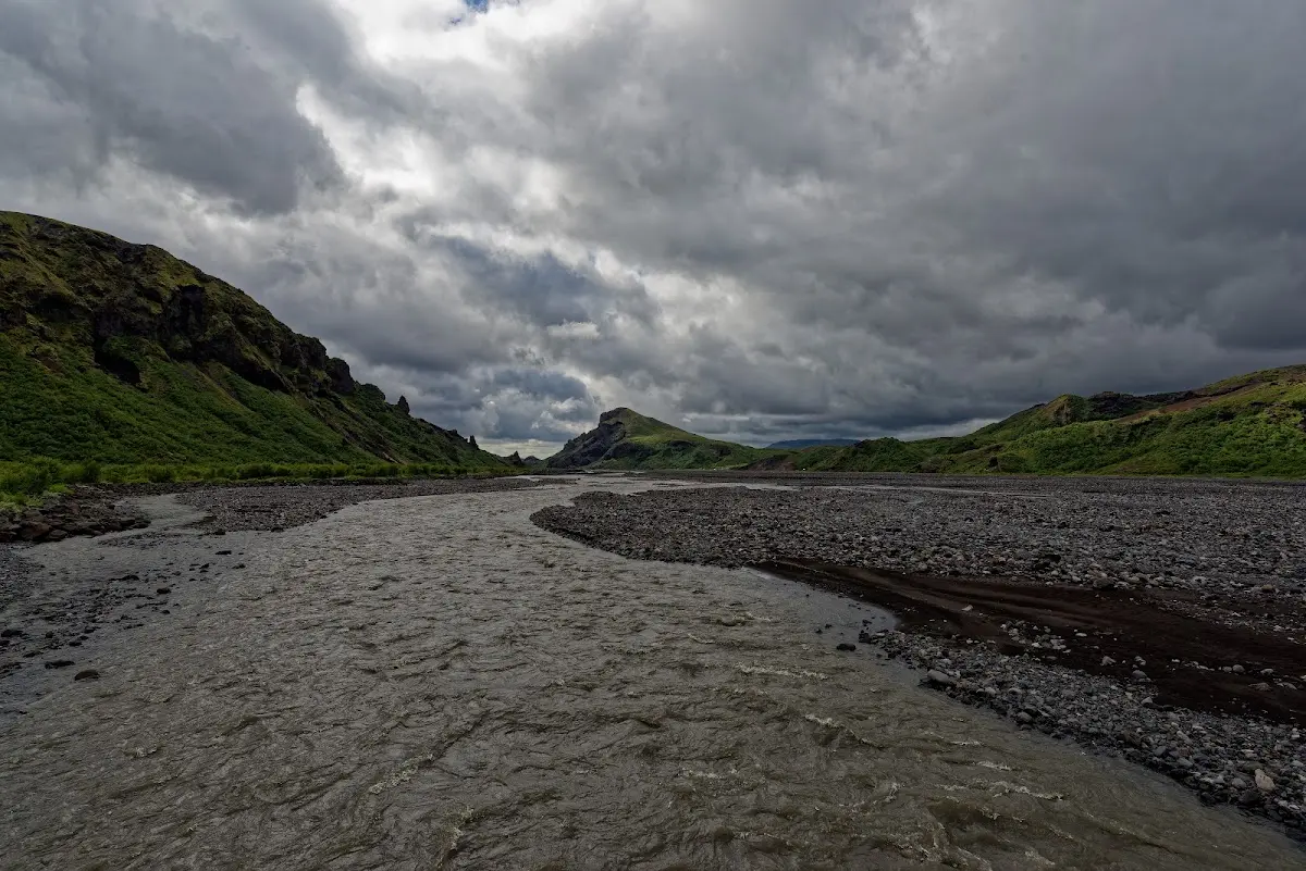
In the afternoon and the following morning I made short hikes into the surrounding mountains. The limited visibility and later also the rain soon drove me back to the Ring Road.
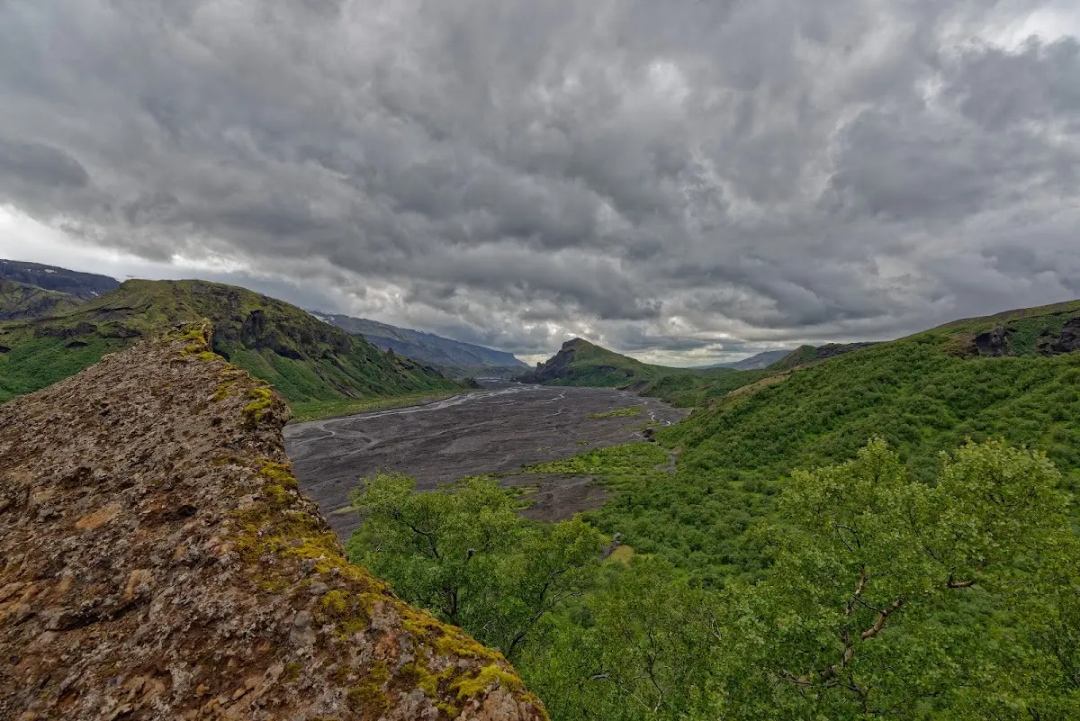
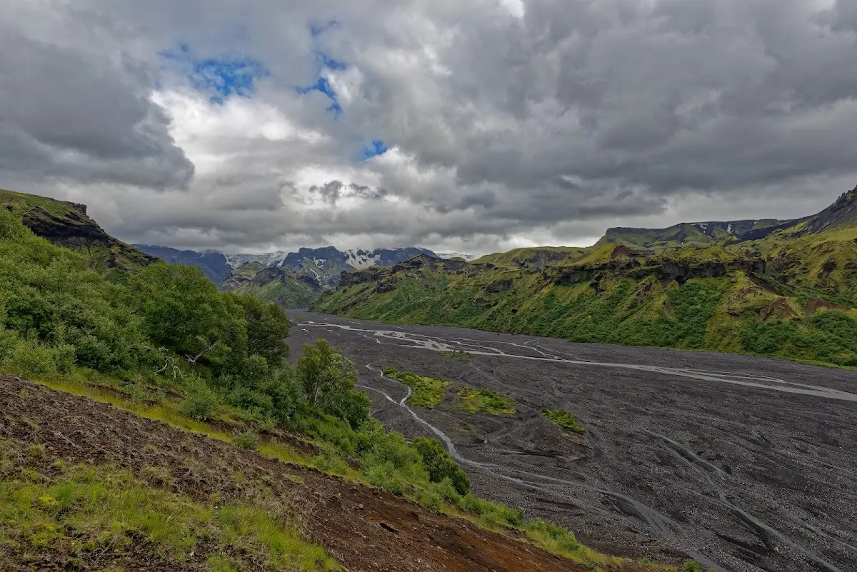
The bad weather, the bumpy track (on which the screws of my luggage rack worked loose from the shaking) and the deep fords mentioned above instilled in me a certain respect for the highland tracks of Iceland right at the start of the trip.
2 Between Skógafoss and Vik
Completely soaked I arrived in Skógar around noon; a warm soup and a dry room were more attractive than the Skógafoss lying on the doorstep (you have probably noticed already: foss means waterfall) and the open-air museum Byggðasafnið að Skógum. In nice weather there are certainly some photogenic subjects here.
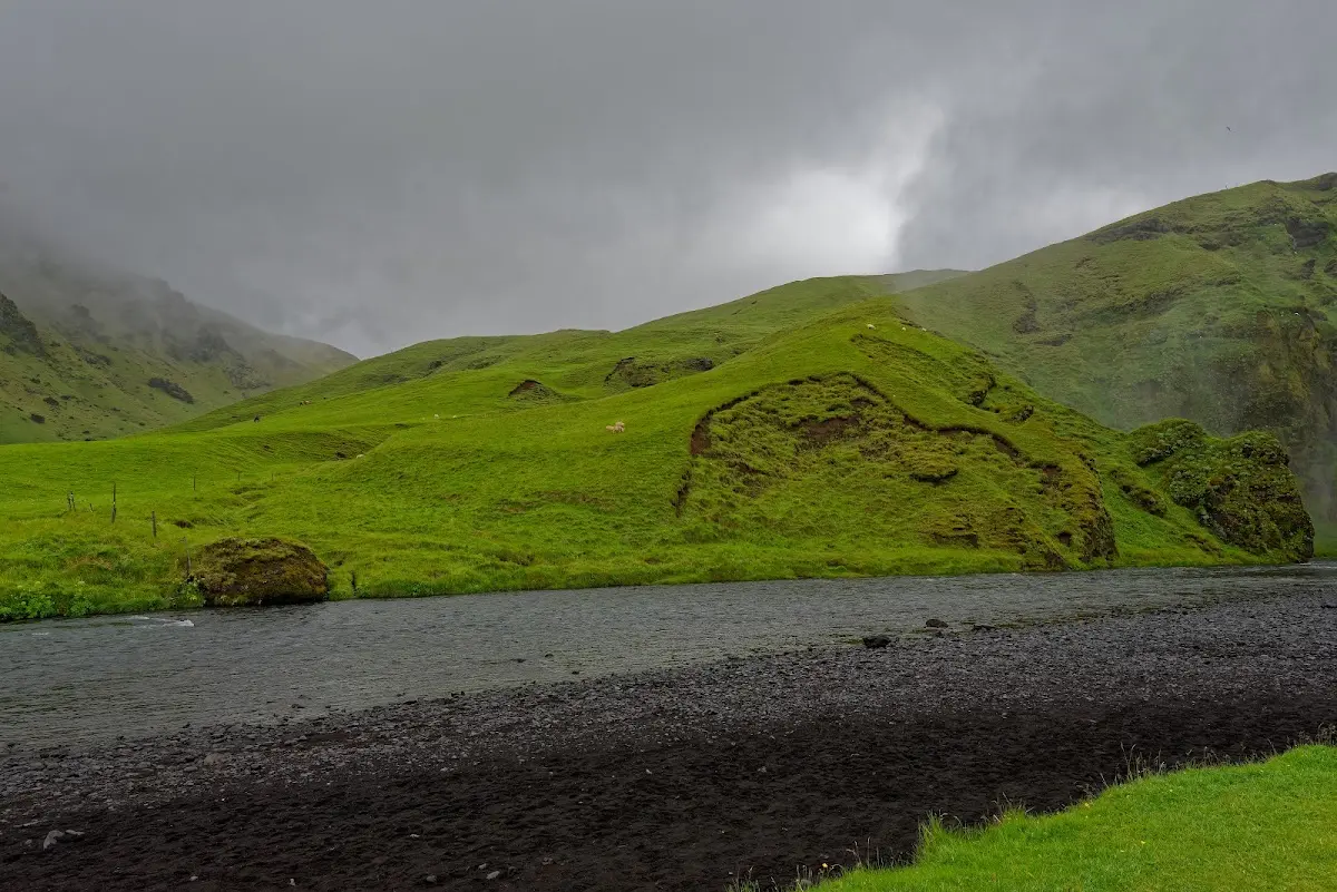
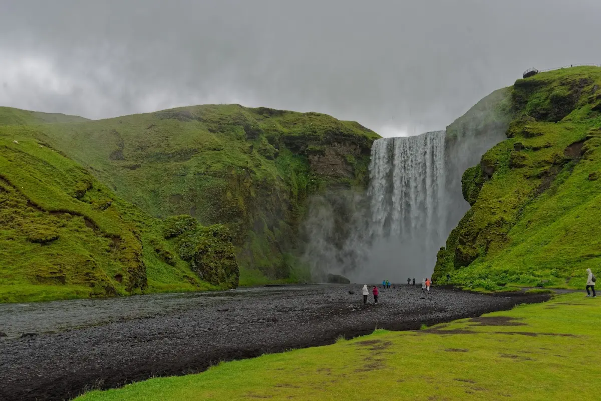
In Vik, the southernmost settlement in Iceland, I was on the campsite and could warm up a bit in the well-attended big communal kitchen. Vik also has a nice swimming pool with an outdoor 40-degree heitur pottur, also called hot pot, a really hot pot, which I visited in the evening with 2 French women and a Belgian woman from the campsite. These hot pots are exceedingly pleasant when it rains in the evening, the outside thermometer shows 7 degrees, there are drifts of fog and a light drizzle, and after a longer stay the whole body is so full of warmth that it lasted for a dinner in a T-shirt and there was still a reserve left until I was in the warm sleeping bag.
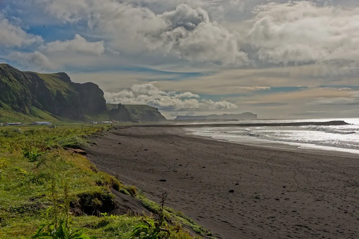
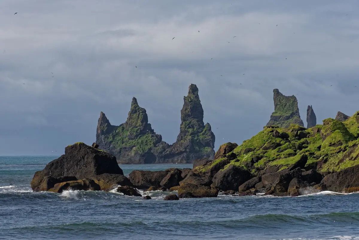
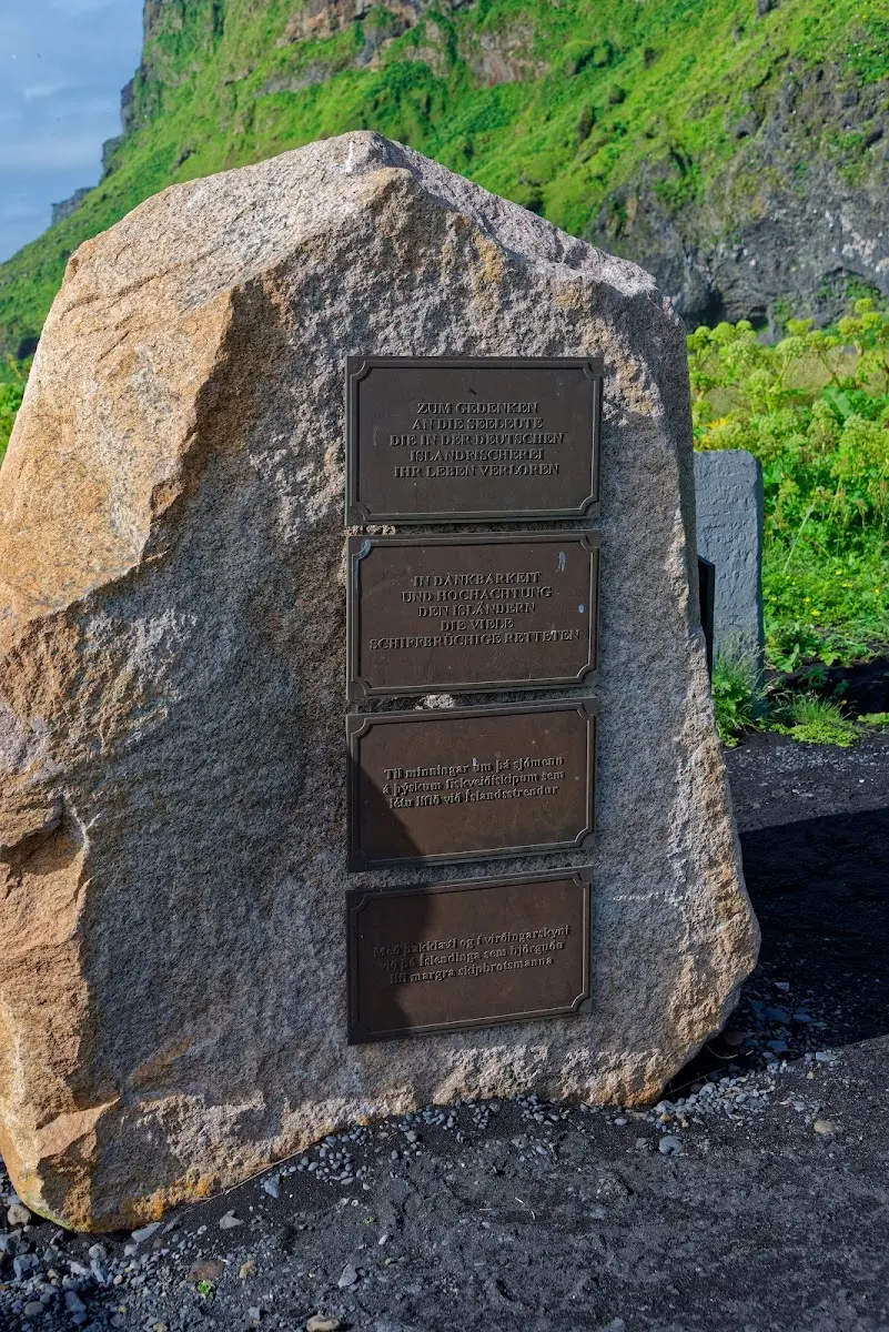
Vik has a very beautiful black lava beach, and the rock needles Reynisdrangar, Skessudrangur, Landdrangur and Langsamur off the coast are petrified trolls who wanted to bring a ship ashore. A memorial stone commemorates German deep-sea fishermen and Icelandic helpers who lost their lives off Iceland.
3 Mýrdalssandur and other sandur plains
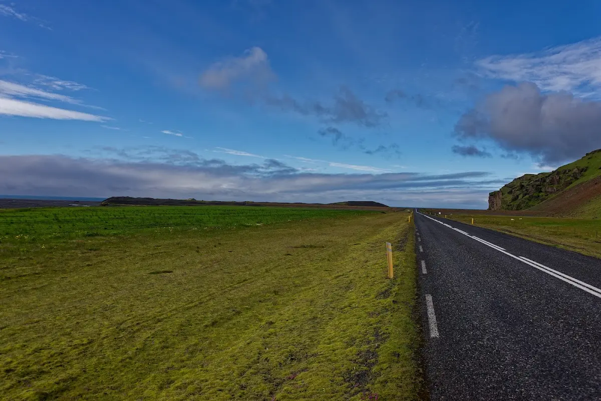
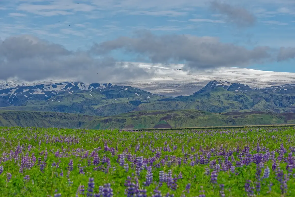
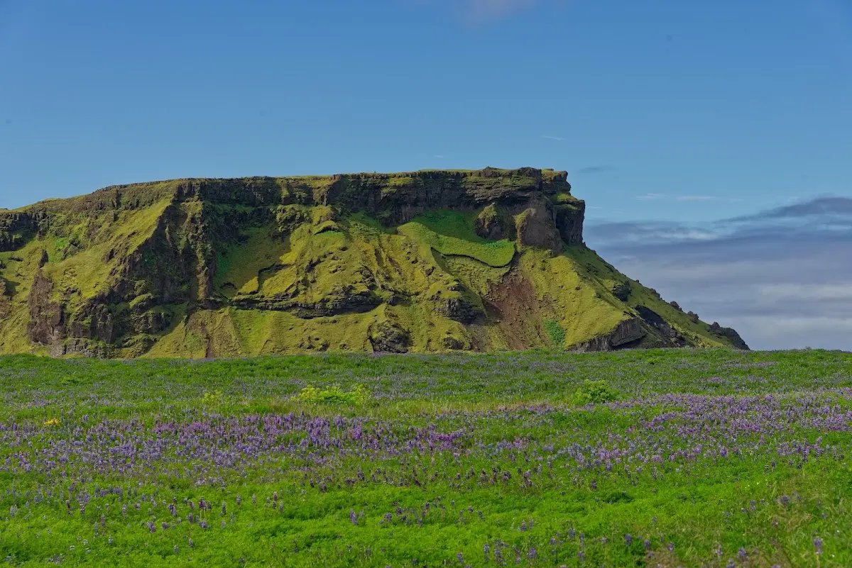
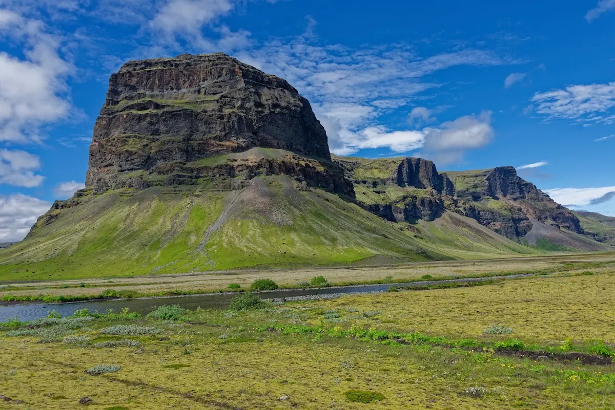
Continuing east on the Ring Road you ride through the sandur plain Mýrdalssandur, which was formed by the numerous glacial outburst floods of the Mýrdalsjökull (jökull, as you will have guessed, is Icelandic for glacier) and
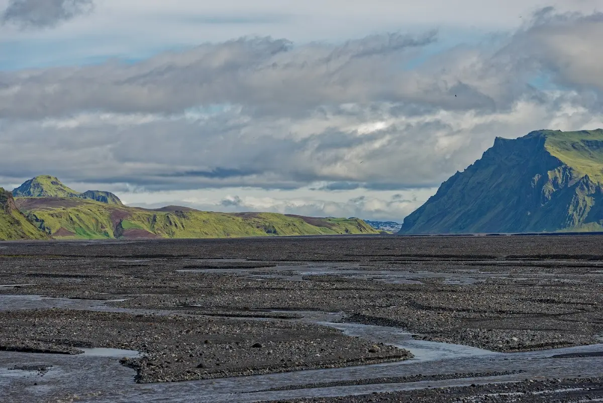
rides through huge fields of Alaskan lupins. Until 1550 there was a convent in Kirkjubæjarklaustur; the waterfall Systrafoss is named after the sisters of that time. I admittedly treated myself to only one Icelandic speciality there: pylsa með öllu, a sausage mostly from the sausage factory Sláturfélag Suðurland that also contains lamb and is eaten as a hot dog with onions and sauce.
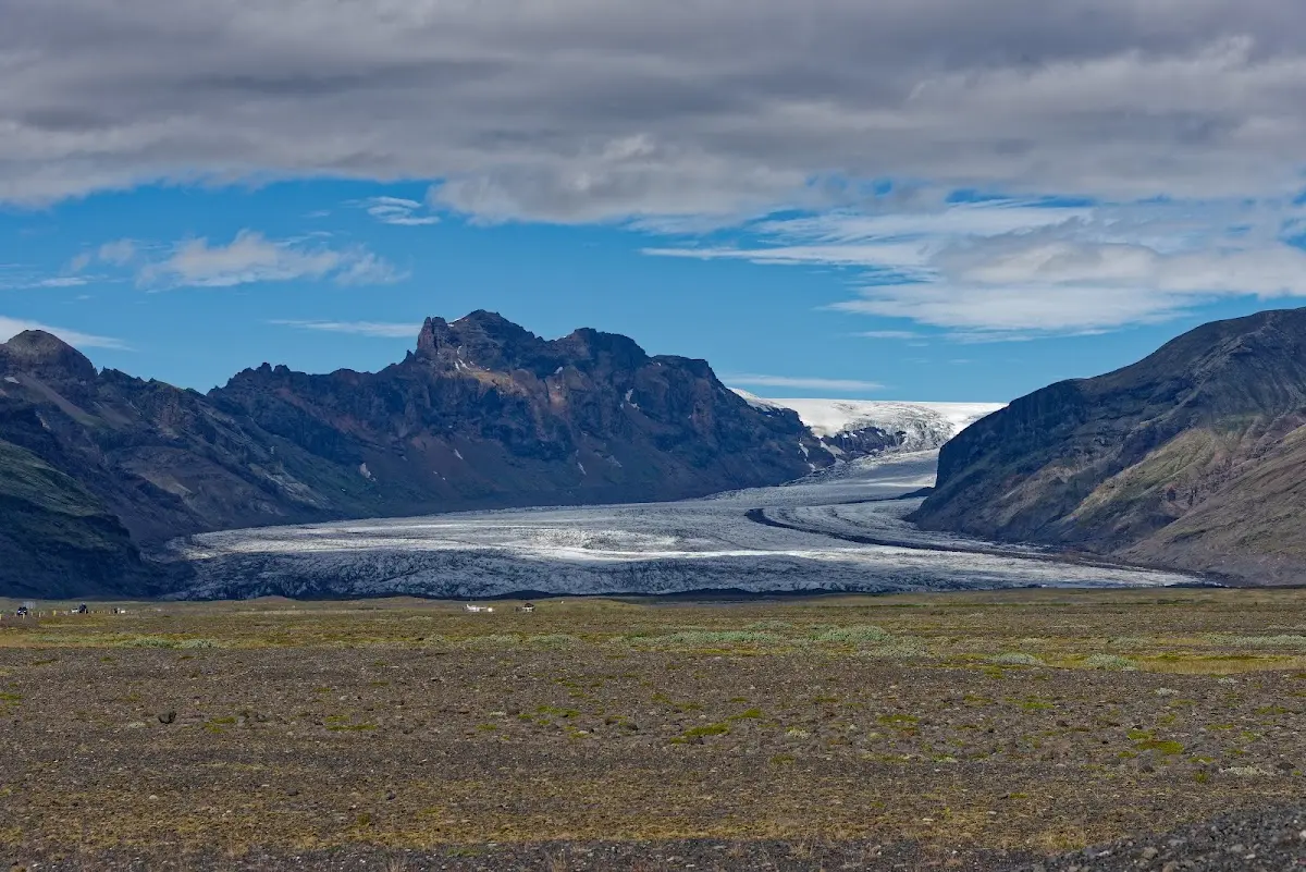
4 Skaftafell and Svartifoss
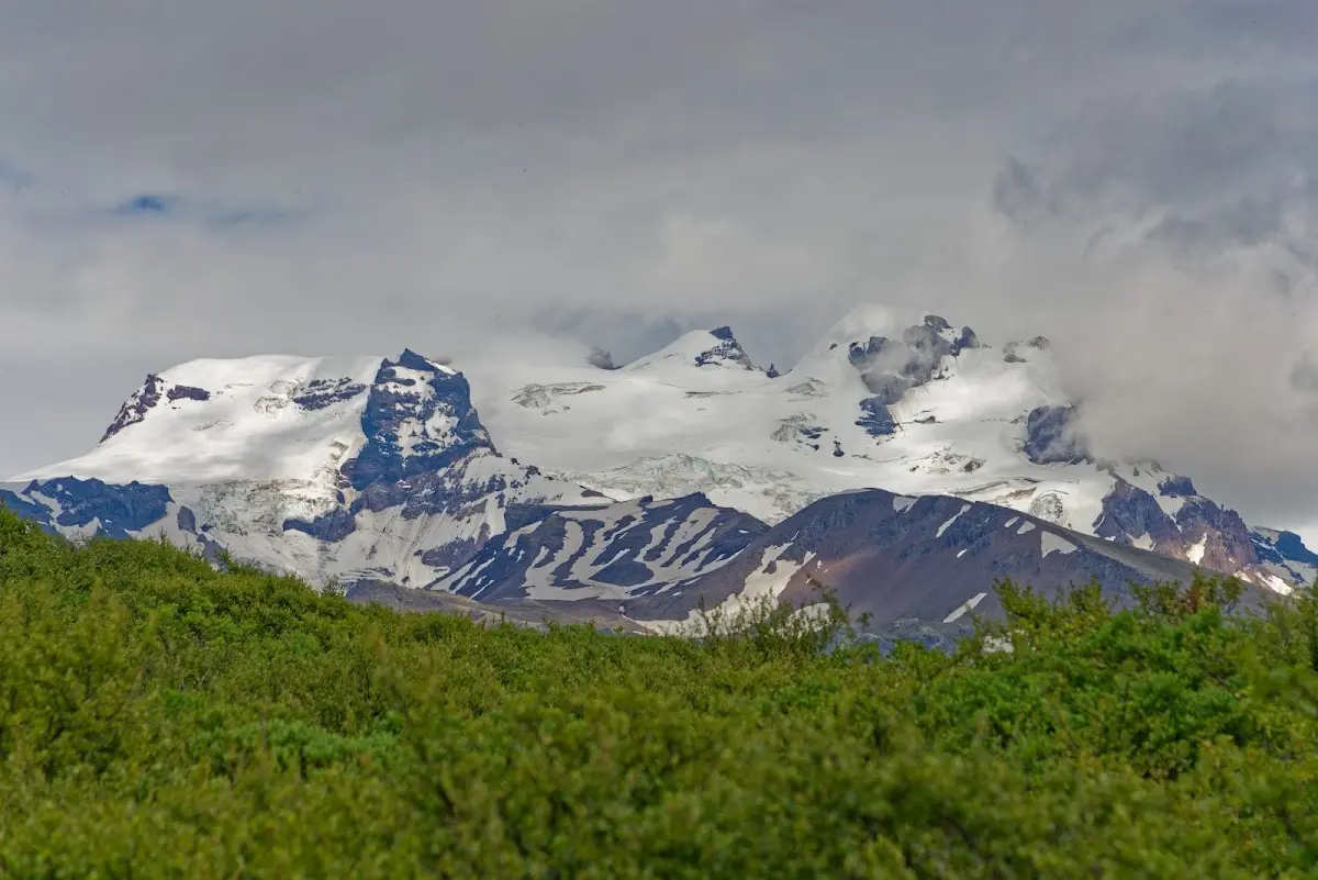
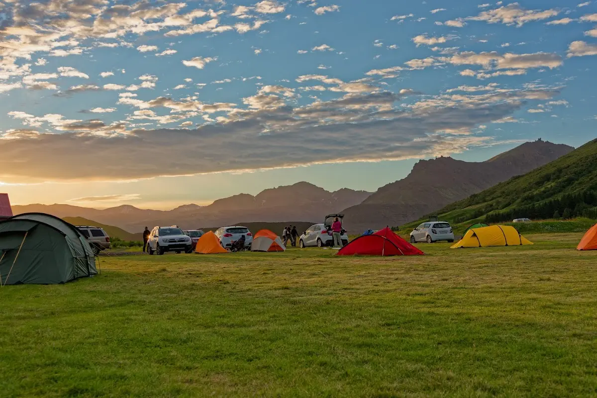
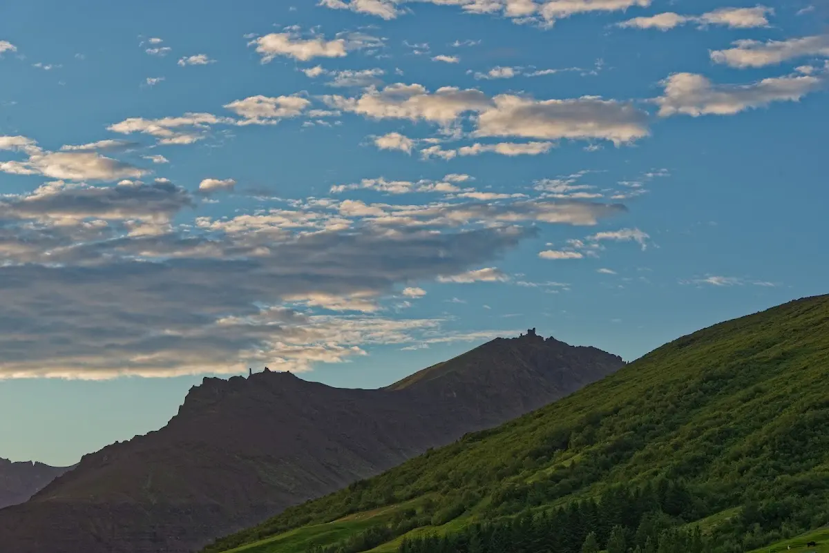
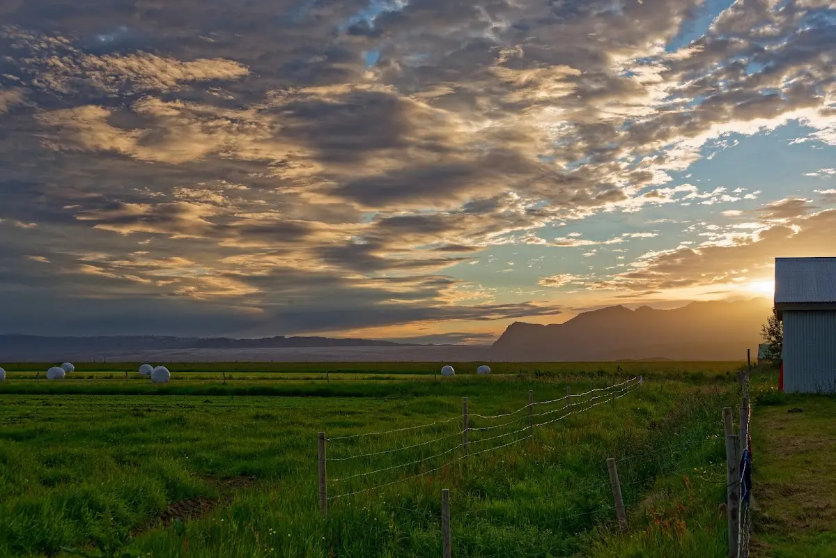
Fortified by this sausage I hiked in Skaftafell National Park to the waterfall Svartifoss, which flows down in front of black basalt columns. The countless tourists there in the afternoon made my stay rather short and I looked for a campsite a few kilometres south of the national park centre.
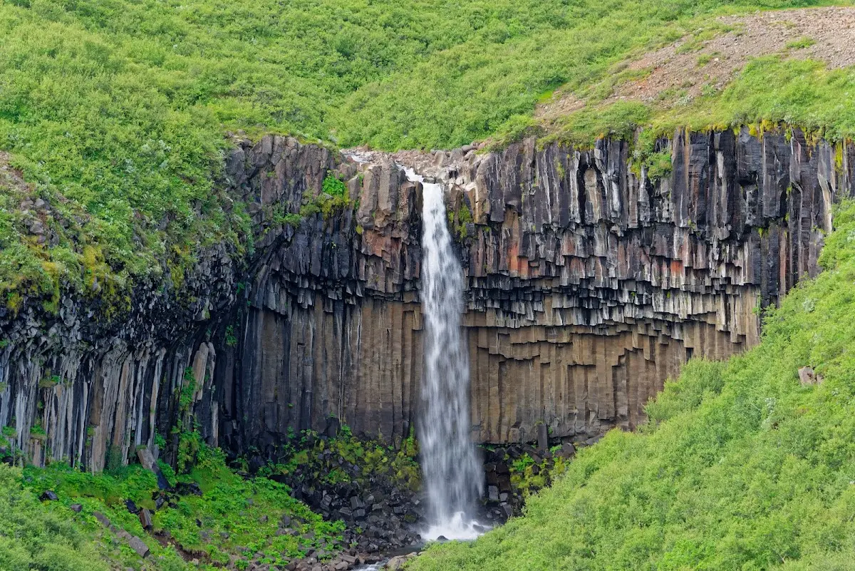
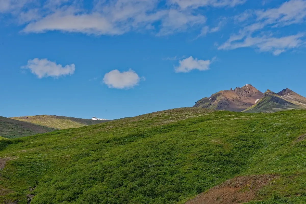
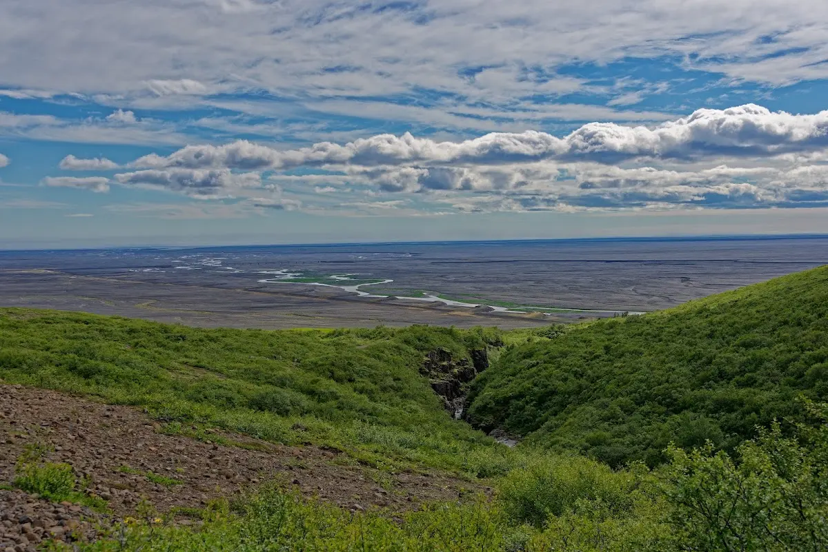
5 Jökulsárlón
Unfortunately the sunshine was over again for the time being. The glacial river lagoon Jökulsárlón, on which icebergs of various colours up to 15 m high drift from the glacier tongue of the Breiðamerkurjökull, is one of several glacial lakes in this area. A short river connects the lake with the sea and flushes the icebergs out of the lake into the sea. Some icebergs do not go on a big journey at all but stay on the beach, lying in the black basalt sand.
The Jökulsárlón is a popular filming location for cinema productions; among others it was the setting in the films James Bond - Die Another Day, James Bond 007 - A View to a Kill, Tomb Raider, Beowulf & Grendel and Batman Begins.
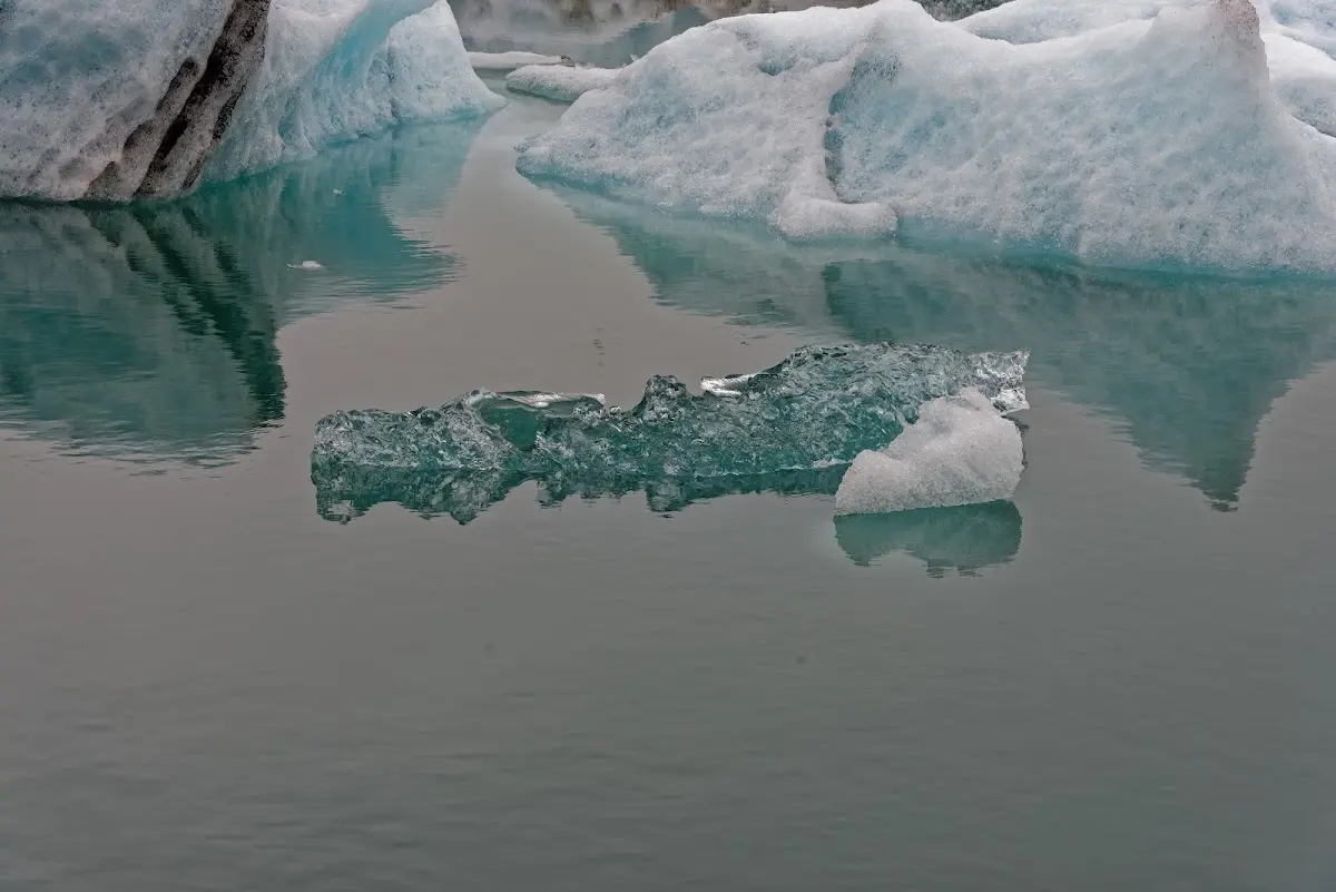
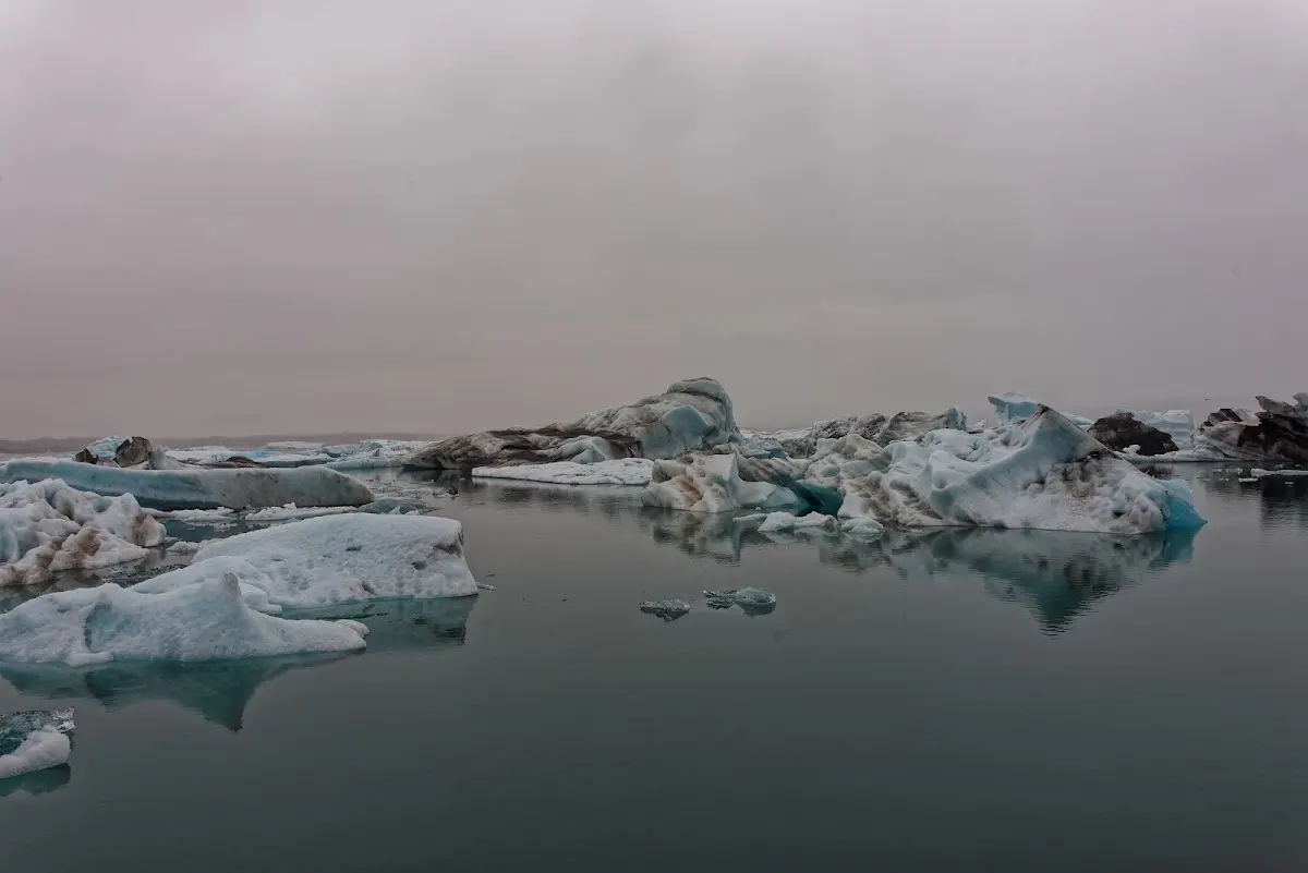
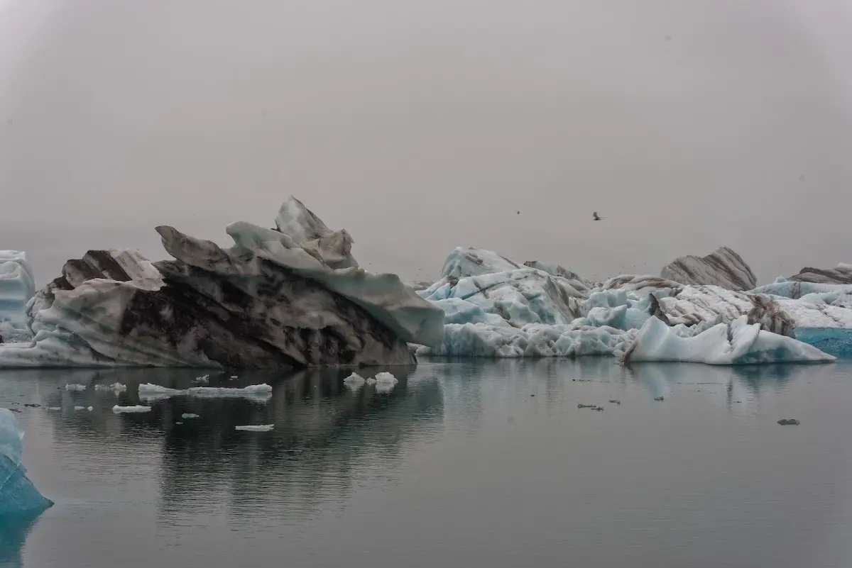
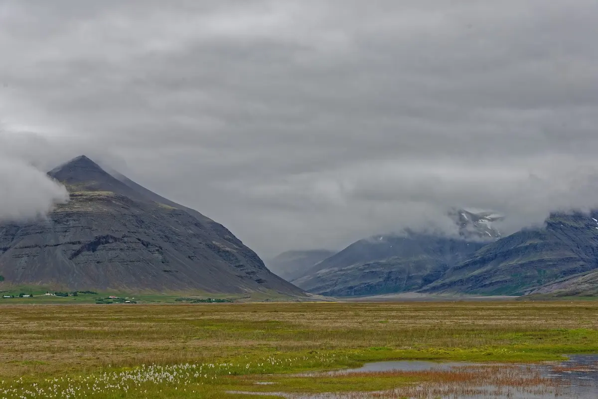
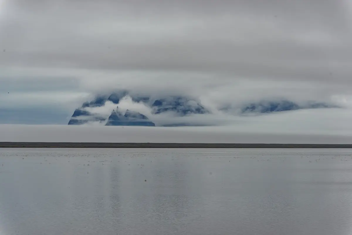
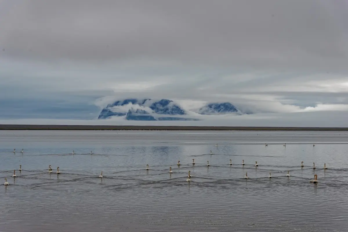
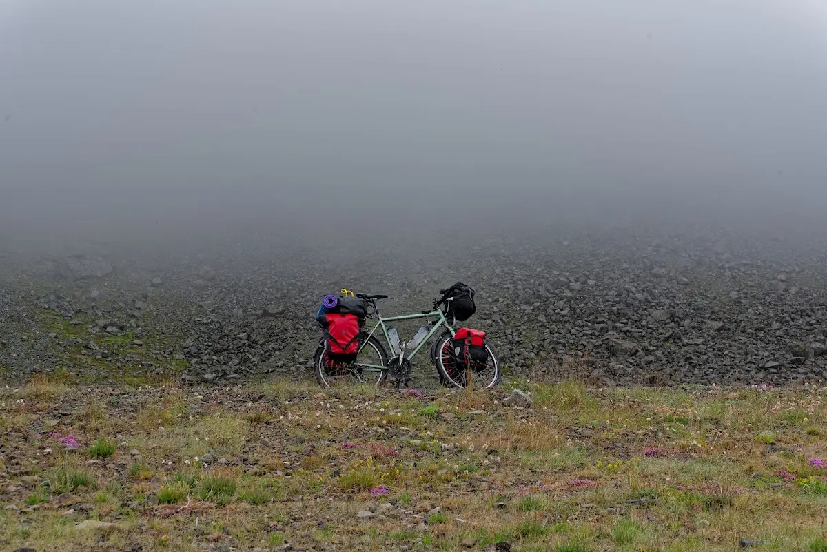
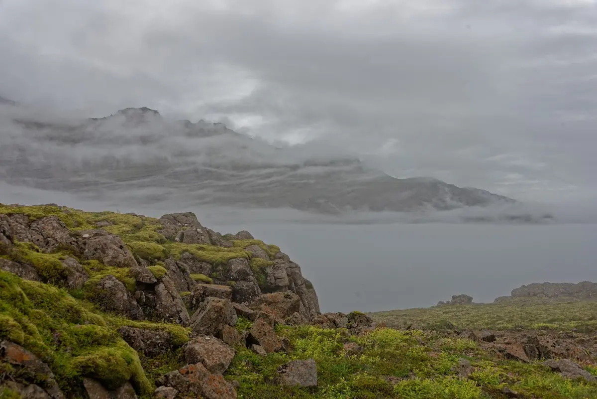
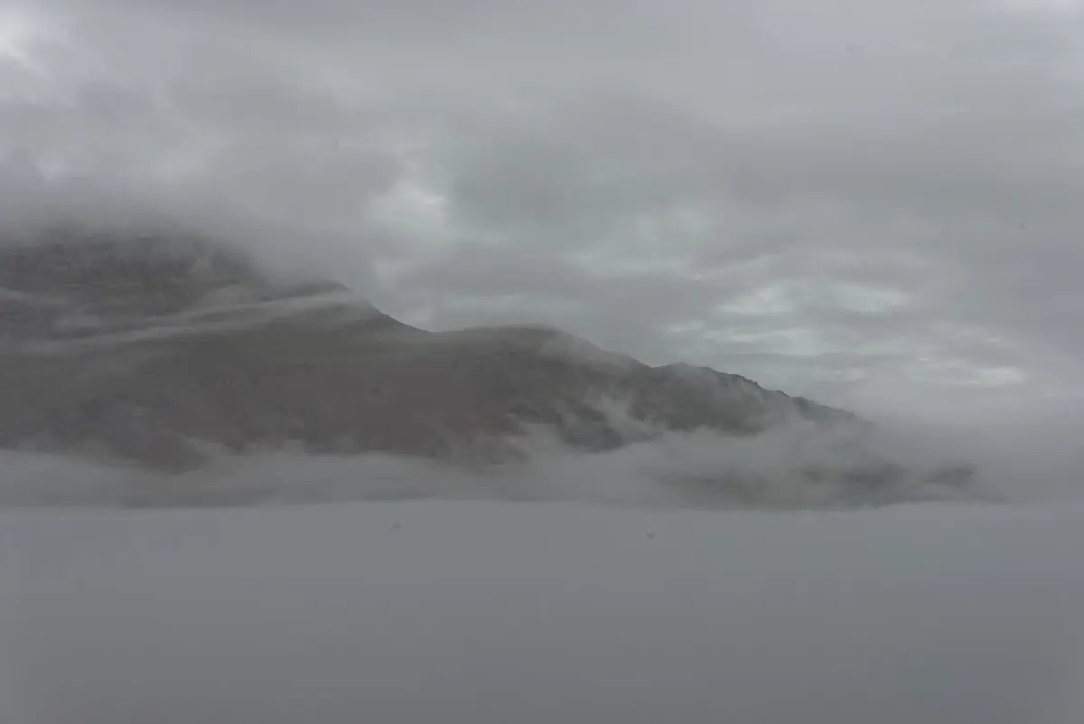
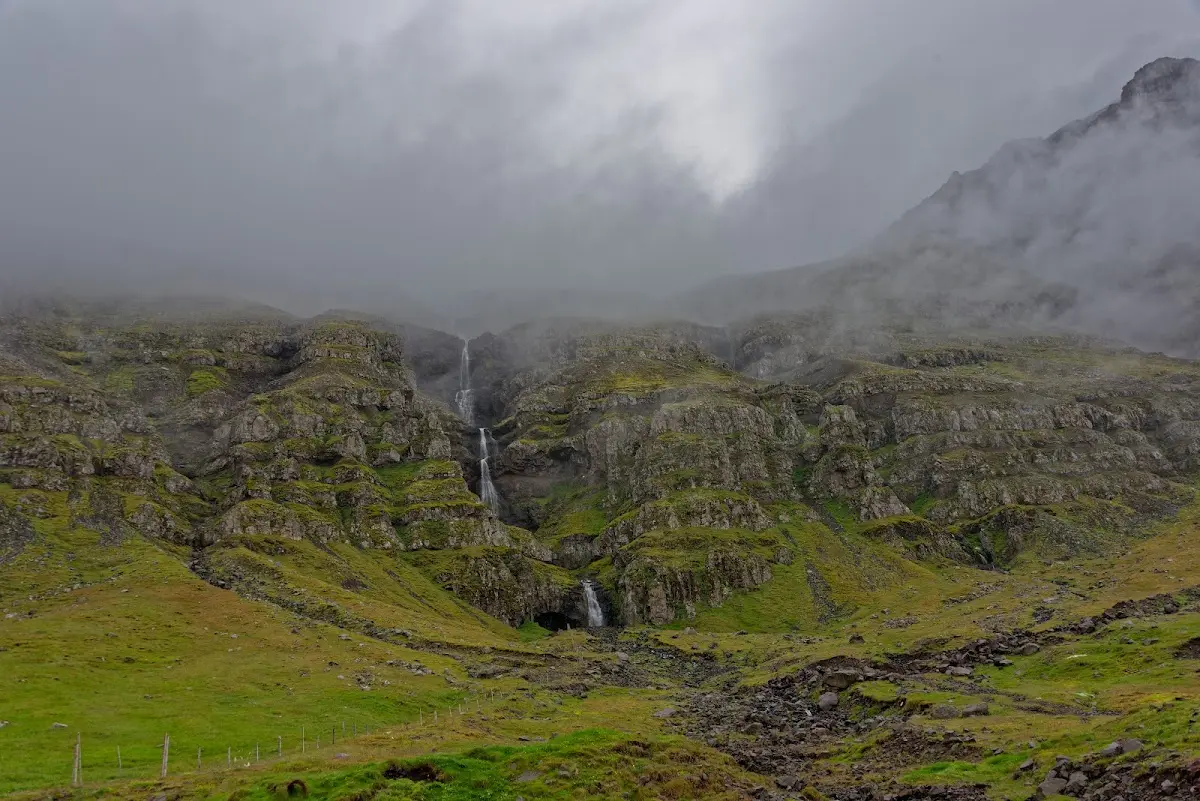
In the evening I stayed overnight in Höfn and visited the swimming pool there again (gradually it dawned on me that this was going to be less a cycling trip than a pool holiday). It was open until 9 pm and, to my delight, also had several water slides. As you can see in the following pictures, the next day along the coast to Djúpivogur and Breiðdalsvík (vík = bay, so bay of the broad valley) I had plenty of fog, so that in one picture the contrast, in another the colour ran out.
6 The East Fjords and the northeast of Iceland
In Breiðdalsvík there is a free campsite behind a small hotel (and a swimming pool). I met an American there who wanted to explore Europe by bike for a year and who had apparently so far earned his money in Colorado by converting the ground floor of his house, bought on credit, into a greenhouse for certain plants of the order Rosales, more precisely the family Cannabaceae, and apparently ran a flourishing business with it (and repaid the loan). On 6 November 2012 Colorado Amendment 64 made prices fall sharply and he decided to try his luck as a cycle tourist.
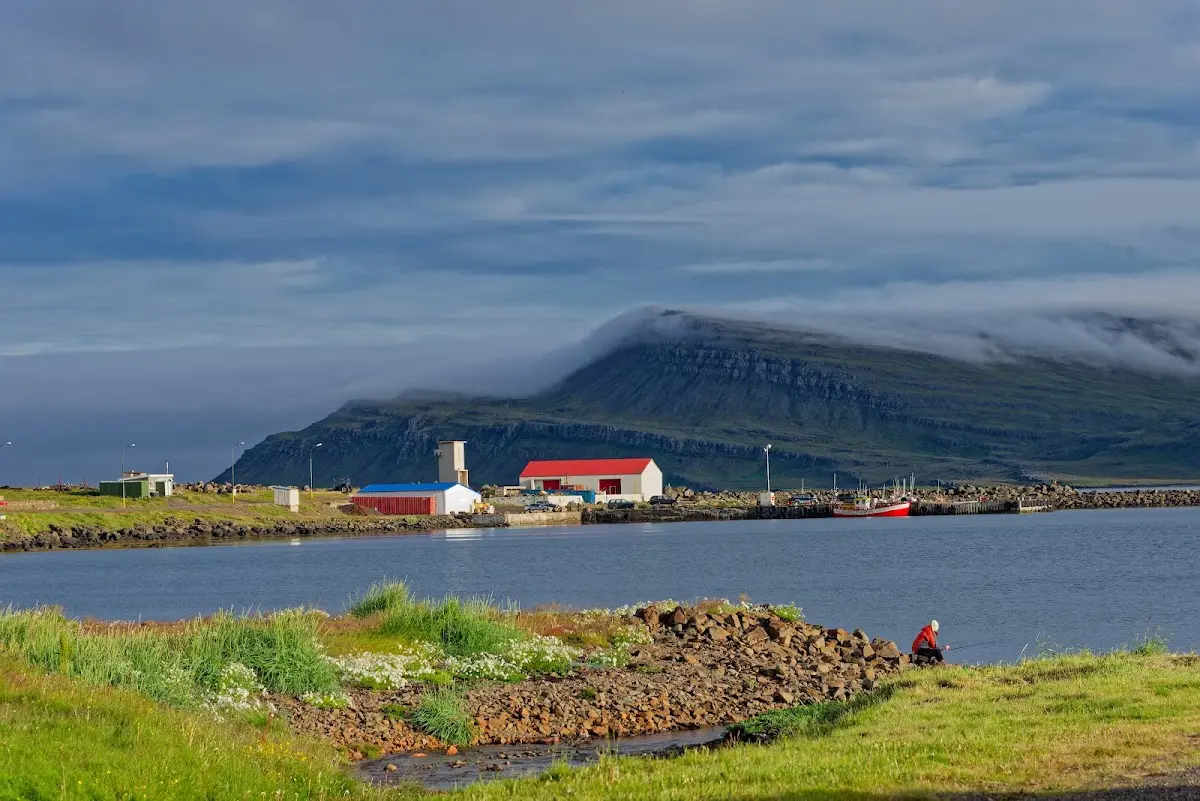
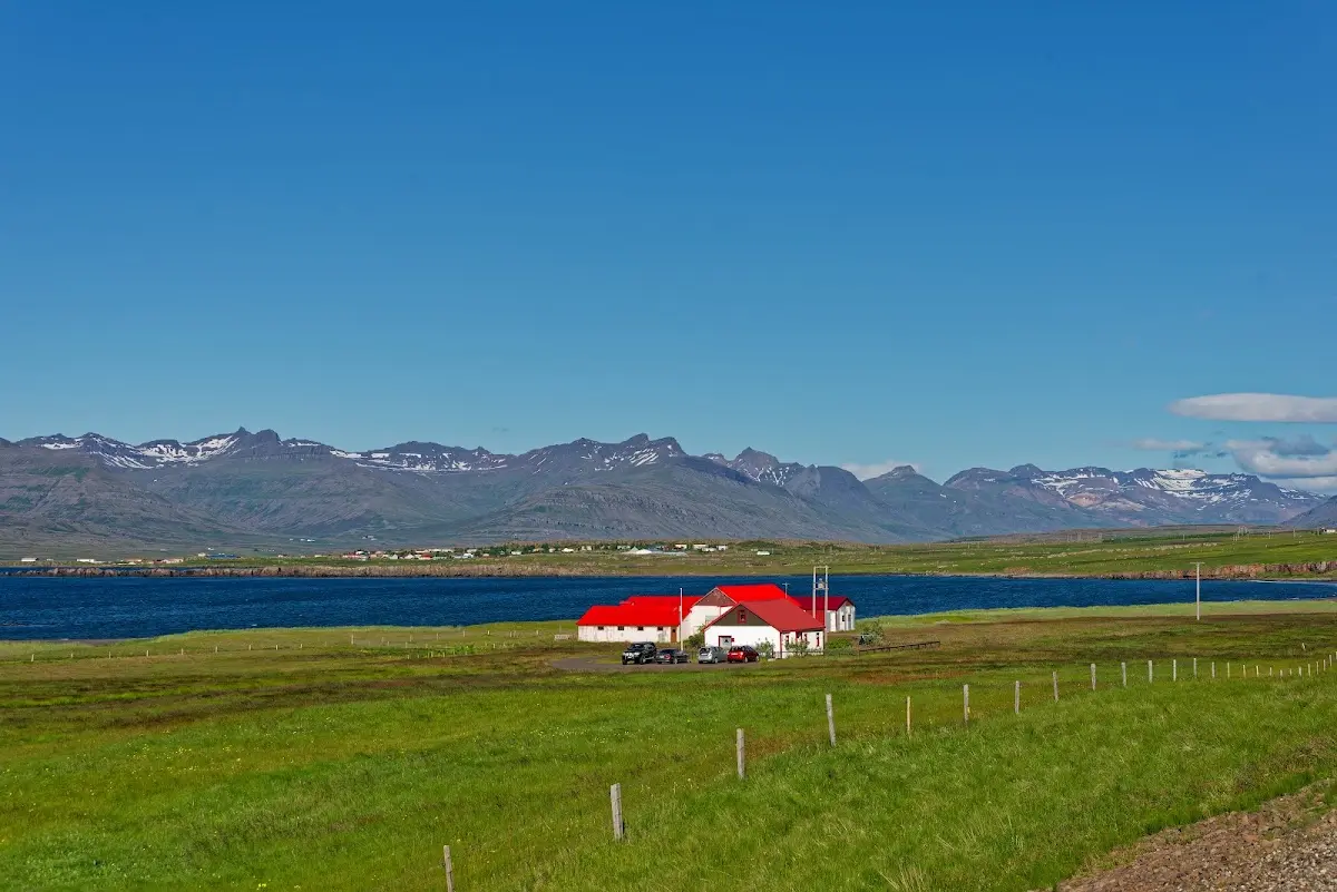
The weather cleared up a little for the next morning and I cycled on to Stöðvarfjörður, Fáskrúðsfjörður and Reyðarfjörður; you have probably guessed it: fjörður translates as fjord.
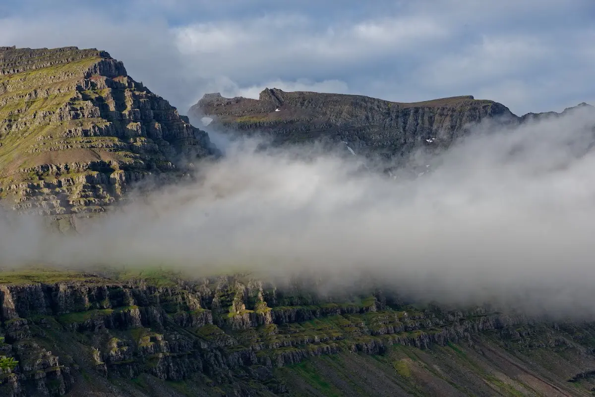
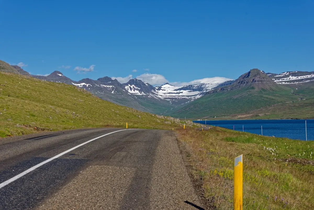
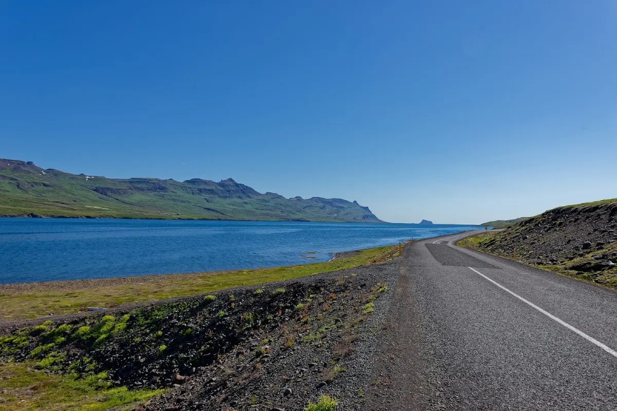
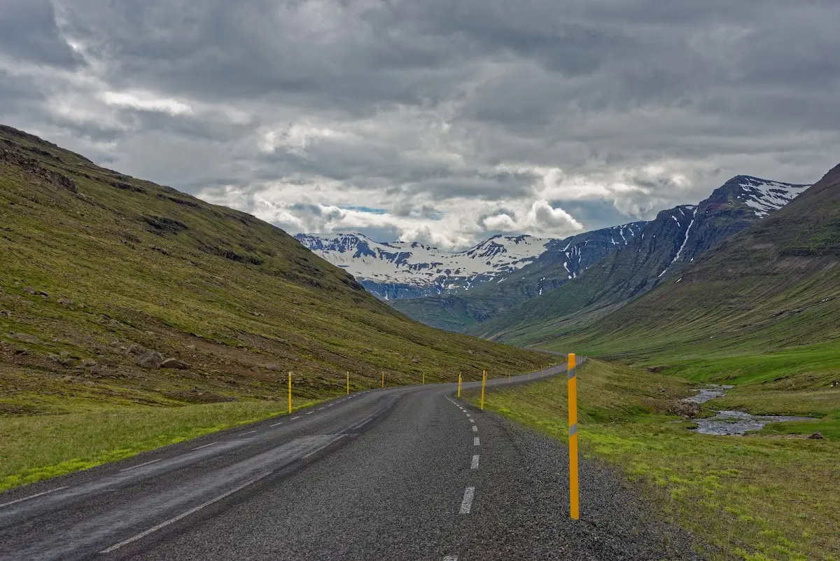
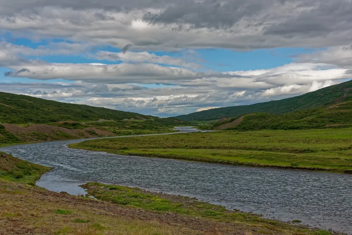
On the way north it goes somewhat uphill, the summit is reached at 350 m, and Egilsstaðir was the first bigger town in days on my way (of which I did not take any noteworthy pictures). Here I had originally planned to go into the highlands, but the weather outlook for the next days was rather doubtful, and so I decided to stay on paved roads and visit the northeast of Iceland. From the Ring Road I turned onto the 917
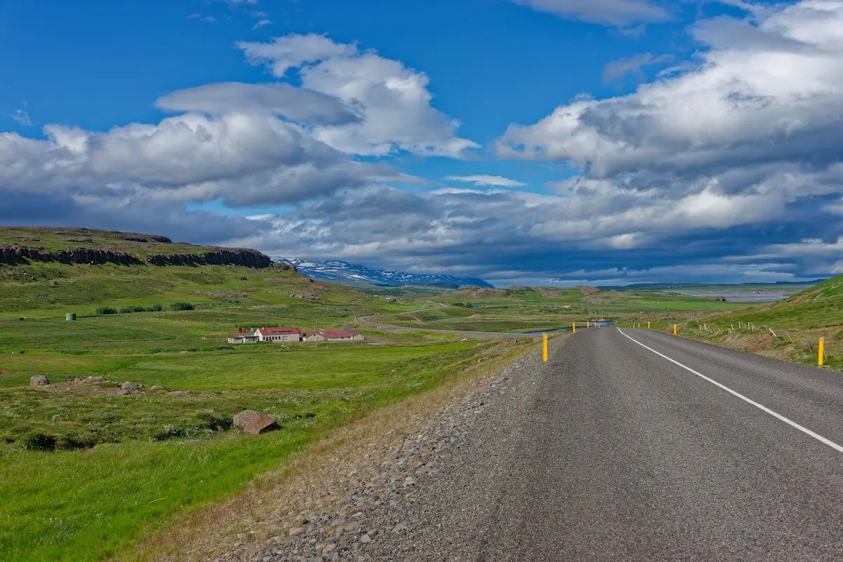
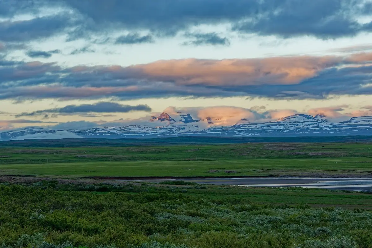
and rode over the Hellisheiði, a 730 m high pass, to Vopnafjörður.
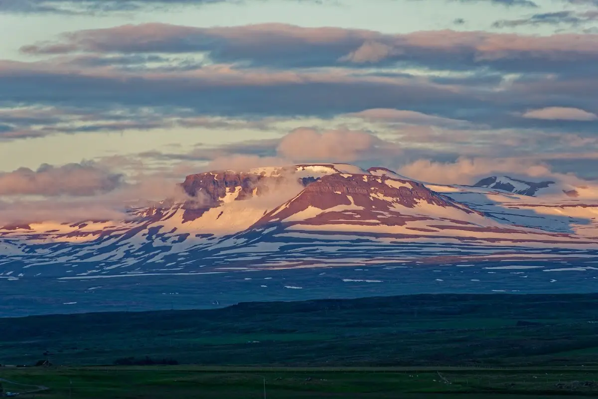
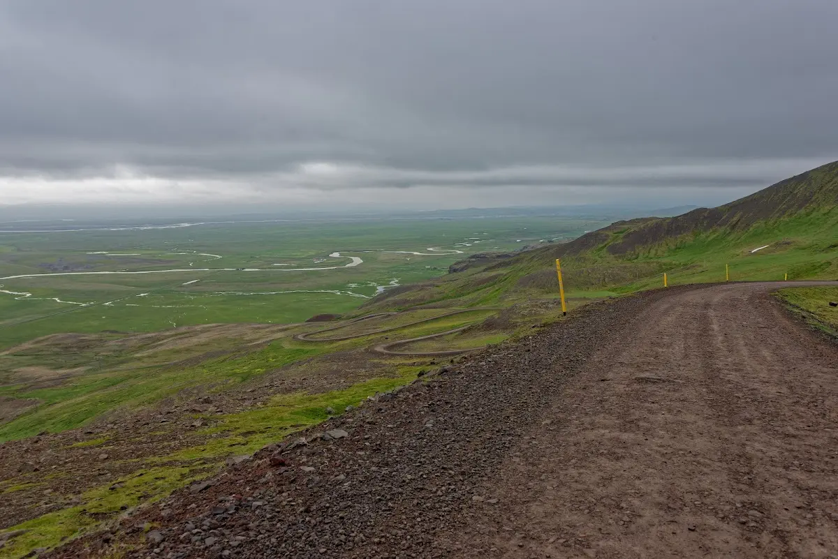
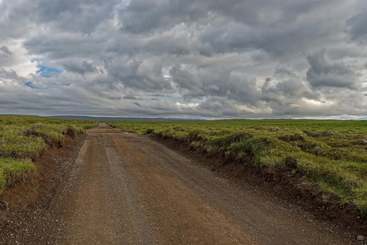
As you may be able to see in the pictures, the long-distance view was not always outstanding, and it also gets a bit fresh there.
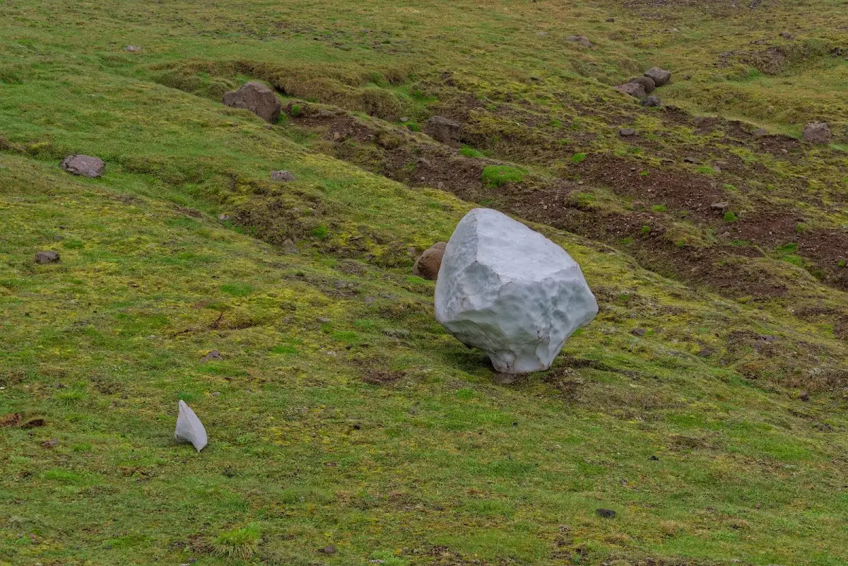
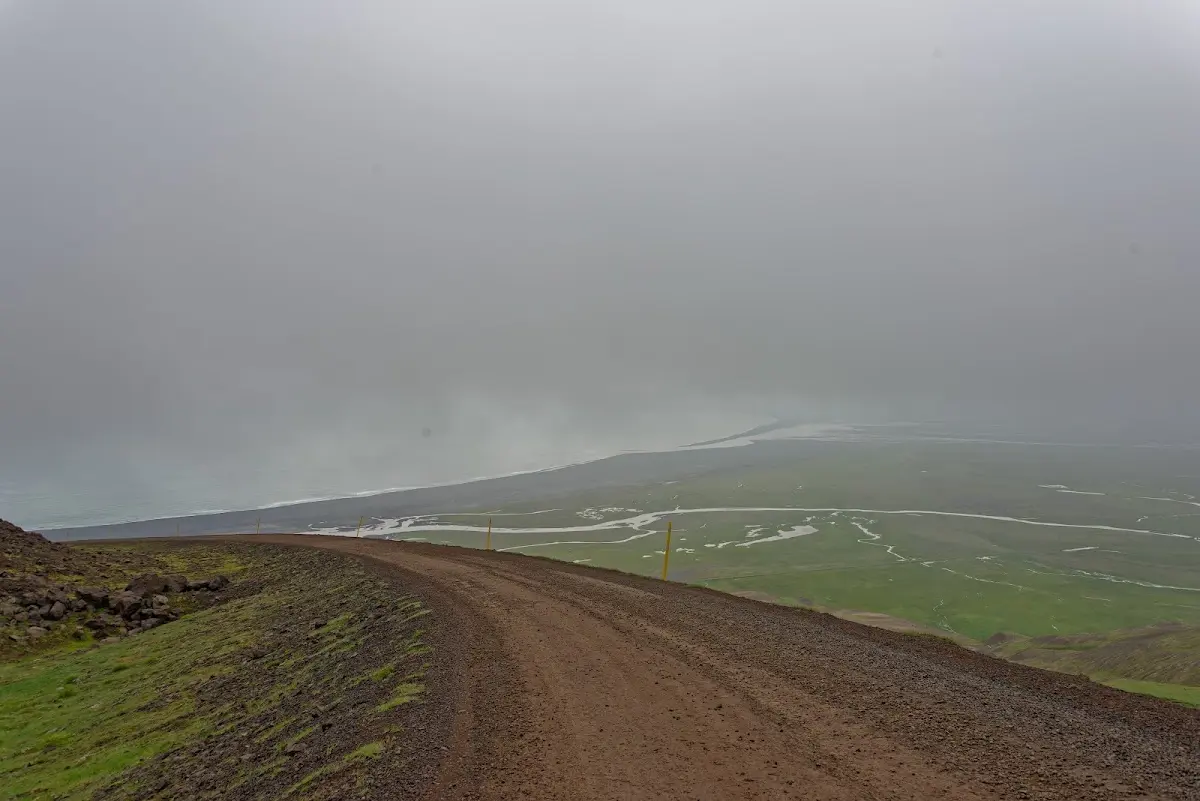
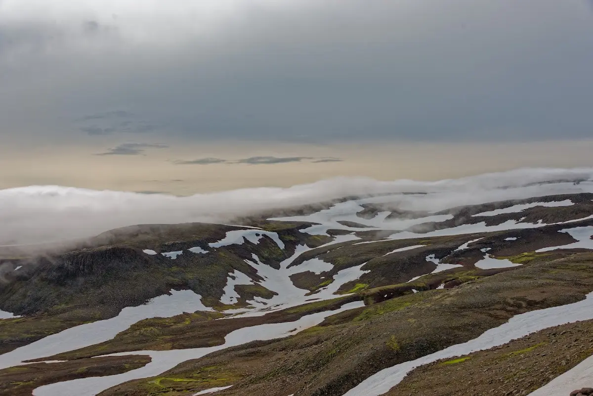
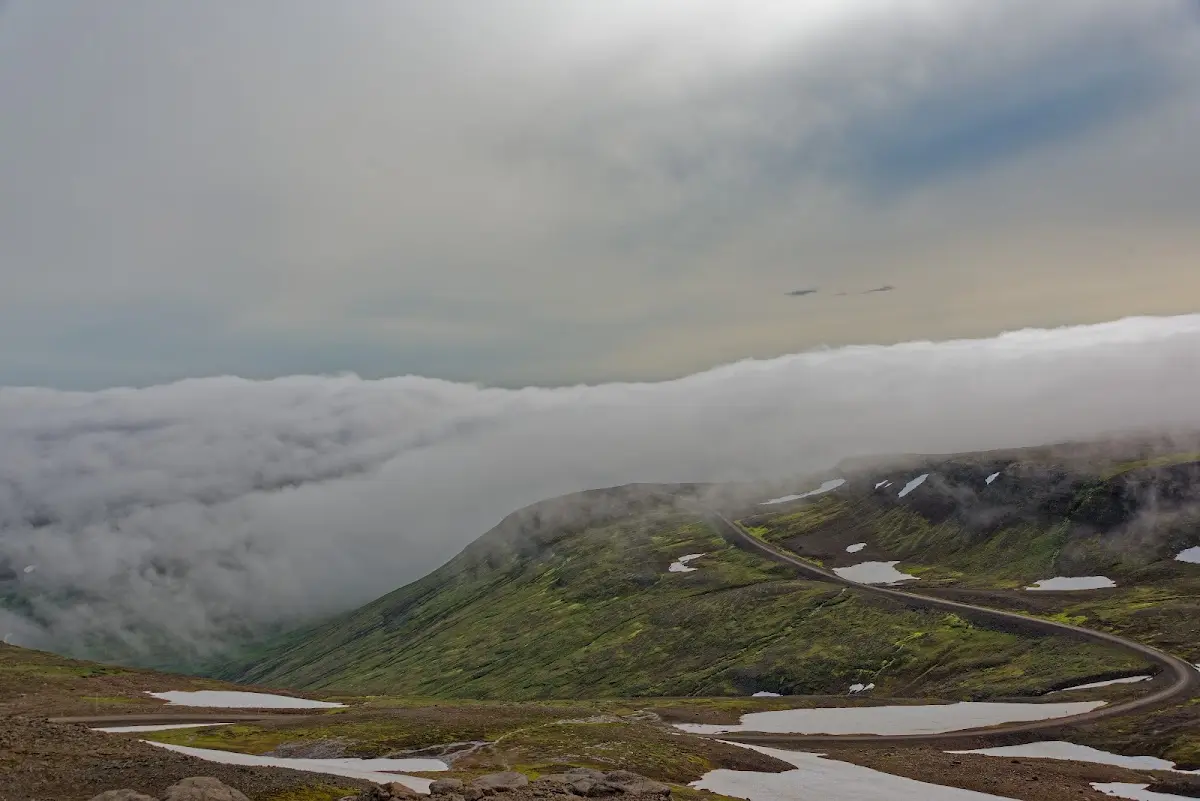
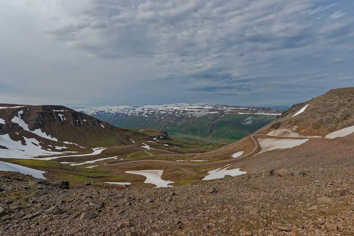
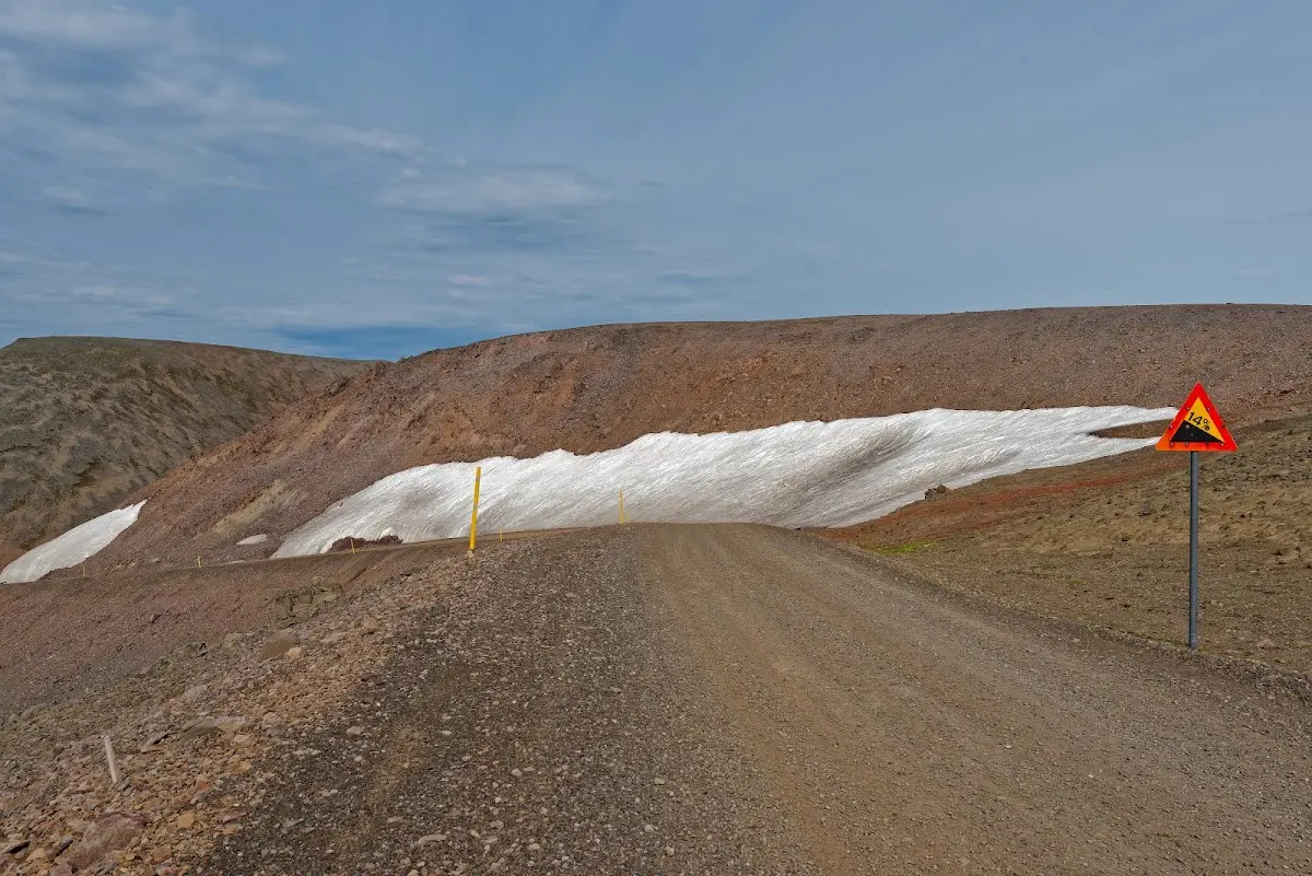
The roads were mostly unpaved in the northeast, and as the weather was wet and cold most of the time I took only a few pictures on my way to Þórshöfn (swimming pool). The small campsite there was well filled with motorised tourists, above all motorcyclists, who had just arrived with the ferry Norröna in Seyðisfjörður (from Denmark via the Faroe Islands to Iceland).
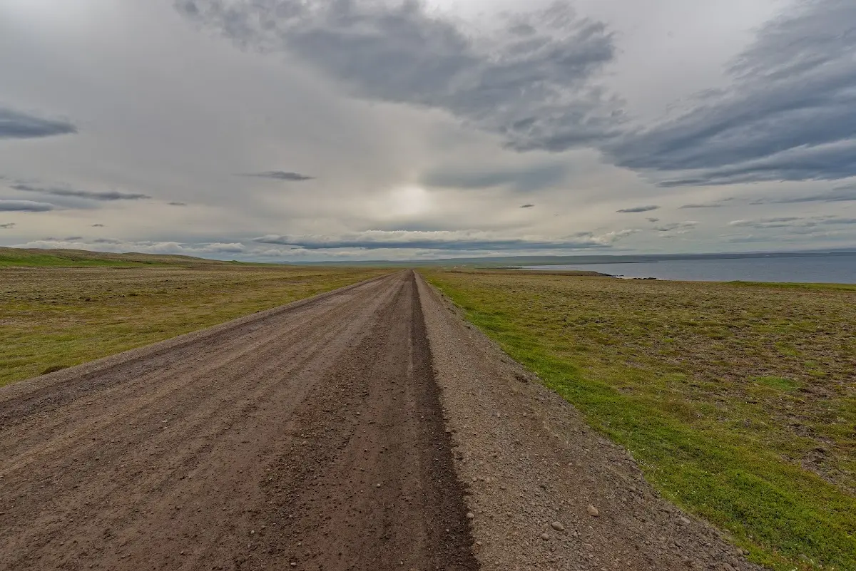
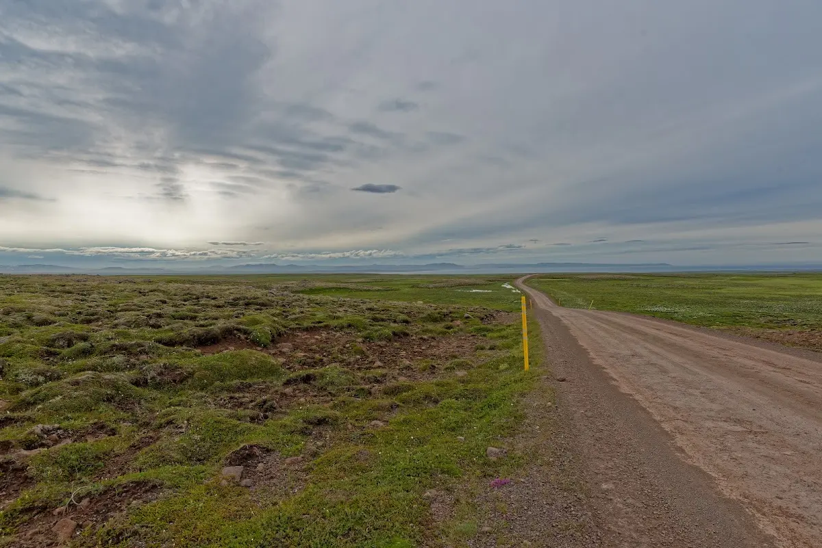
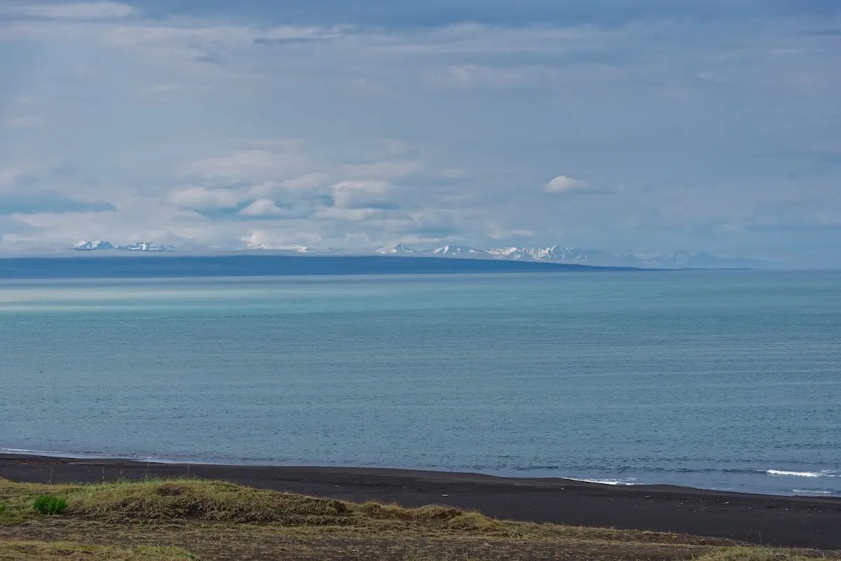
The coming morning was also dull and I set off via Kópasker to Ásbyrgi and the Dettifoss.
7 Ásbyrgi and 8 Dettifoss
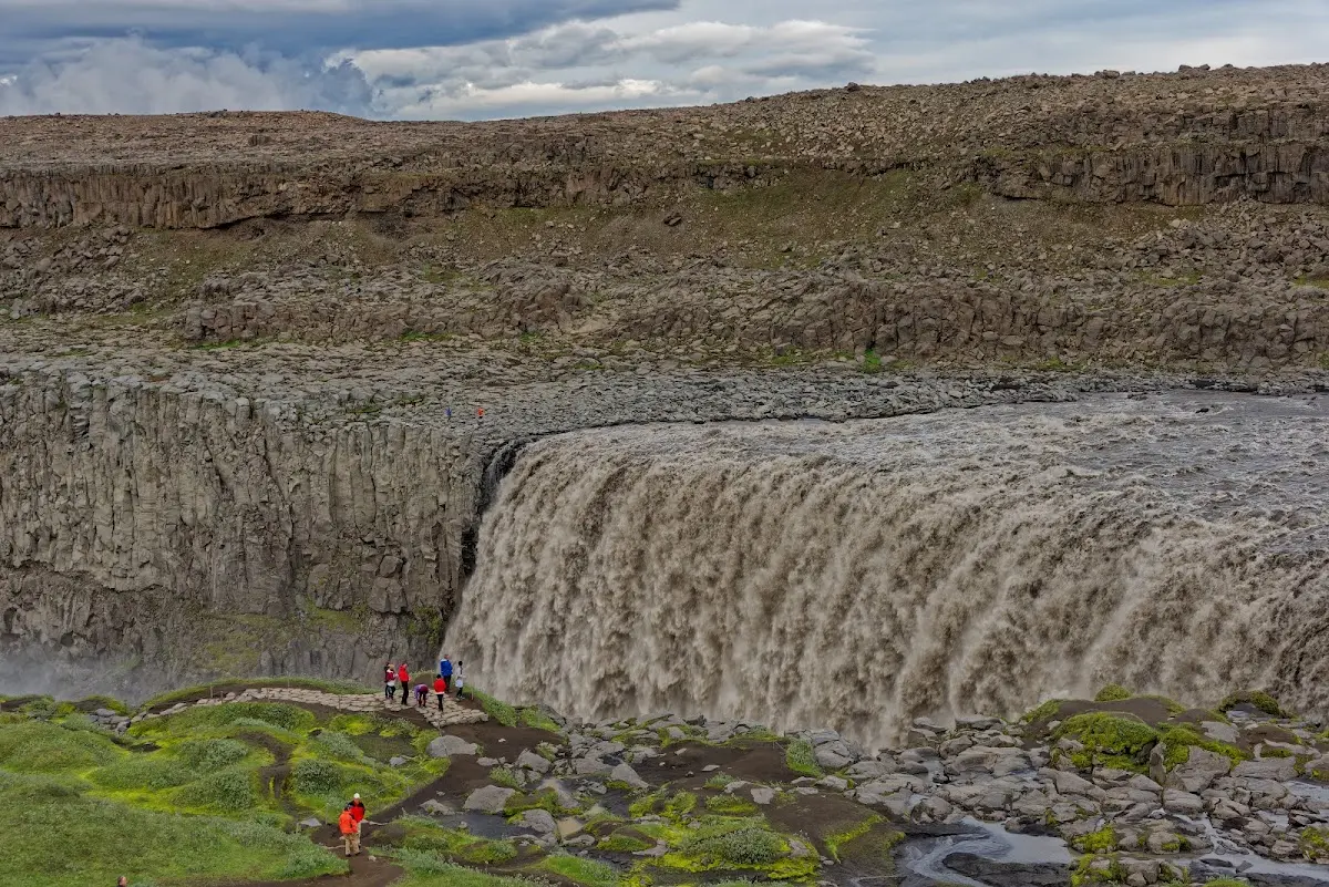
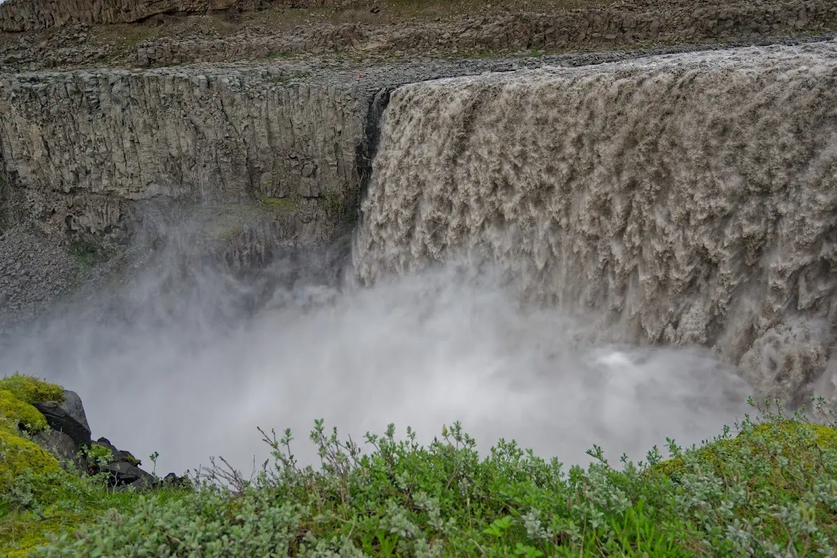
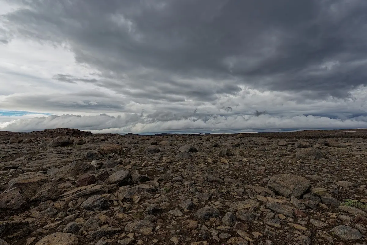
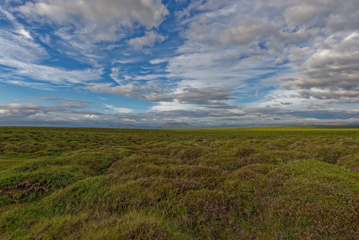
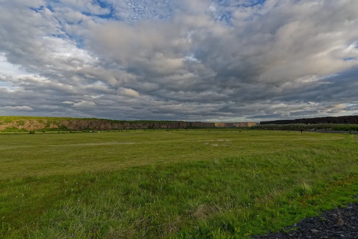
They say Odin’s eight-legged horse Sleipnir left its hoof print here, and that this is how the horseshoe-shaped valley came into being. I stayed on the campsite there and in the evening made a bike excursion to the Dettifoss in Jökulsárgljúfur National Park.
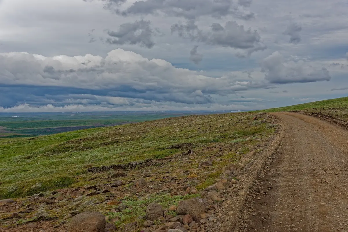
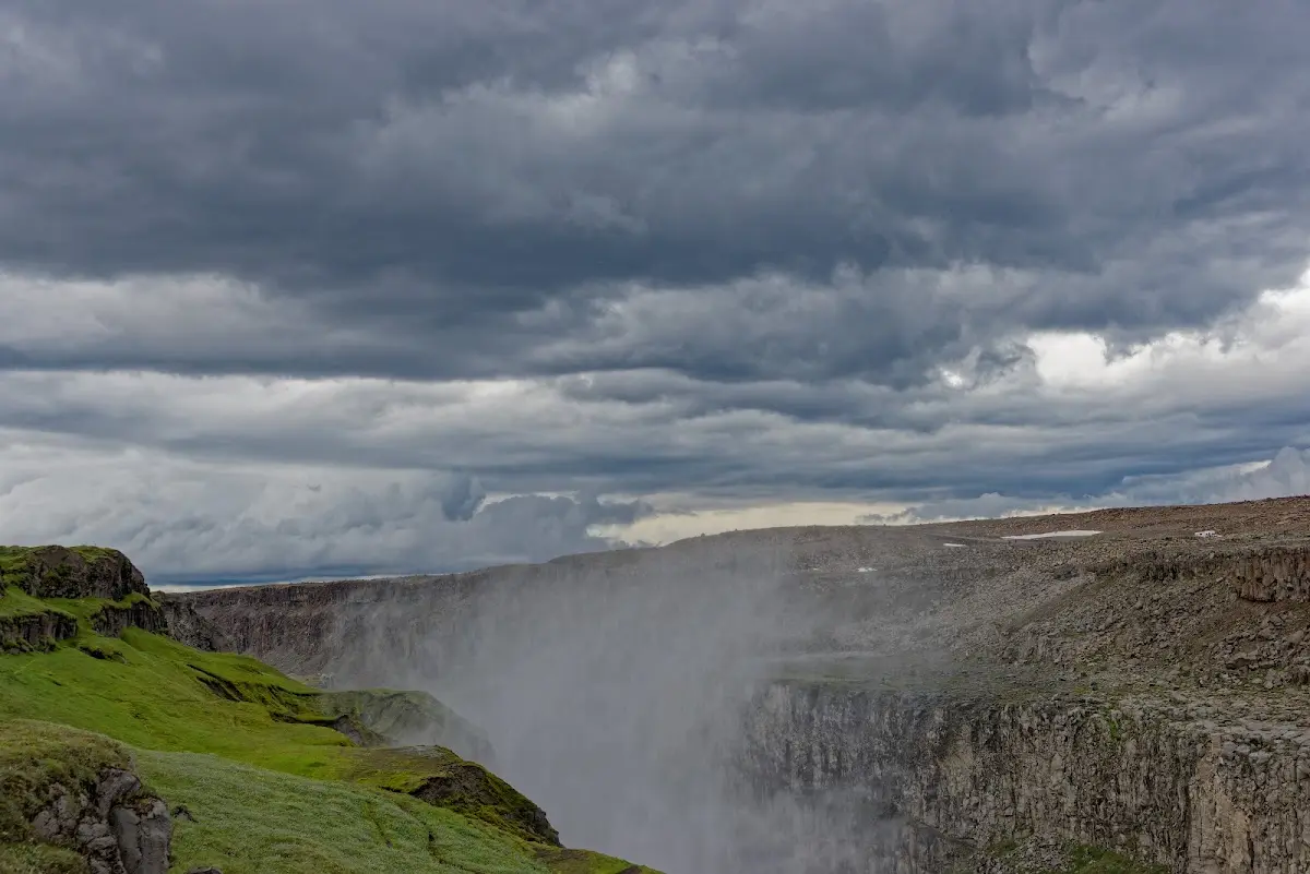
9 Húsavik
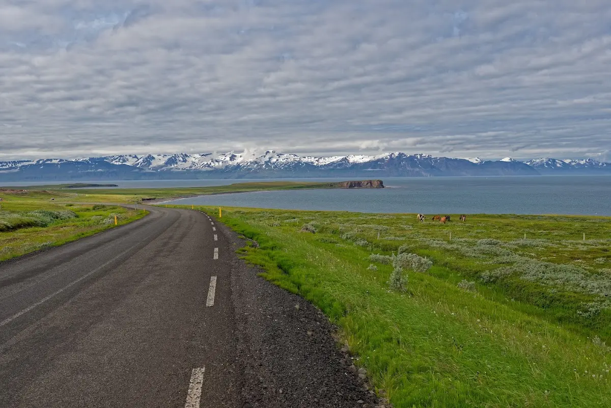
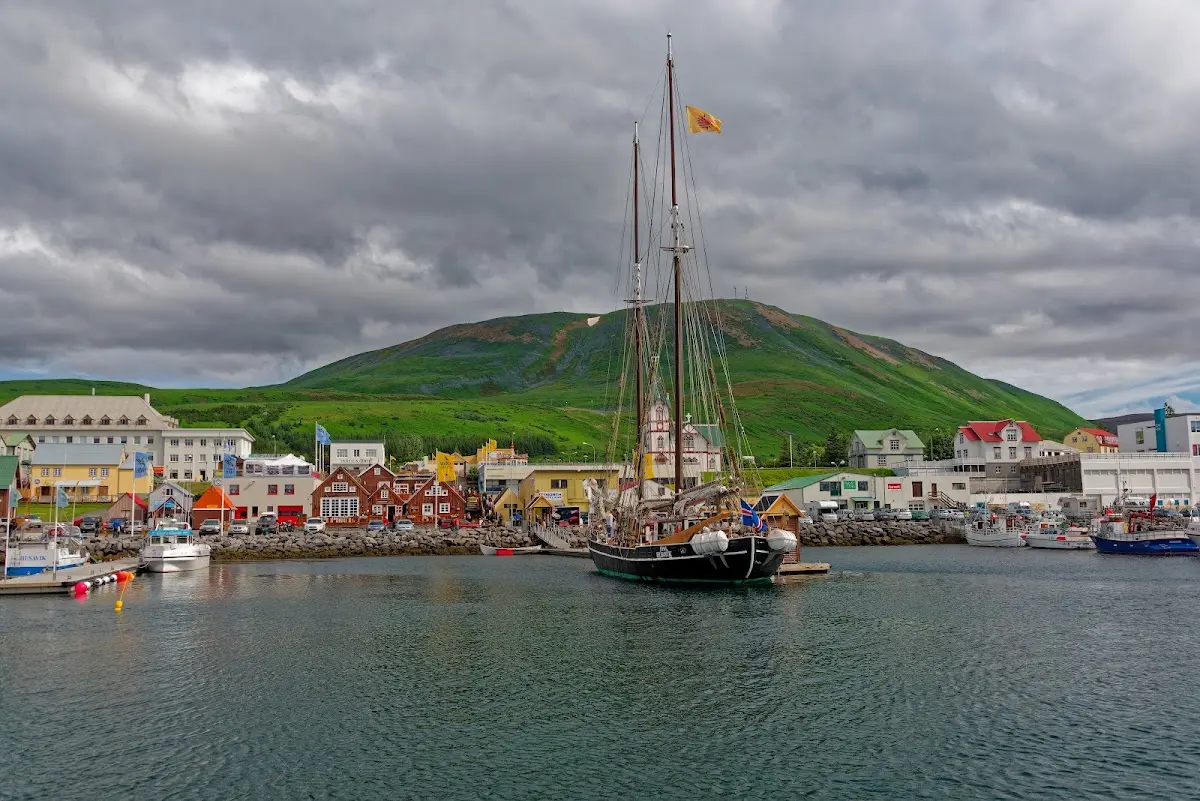
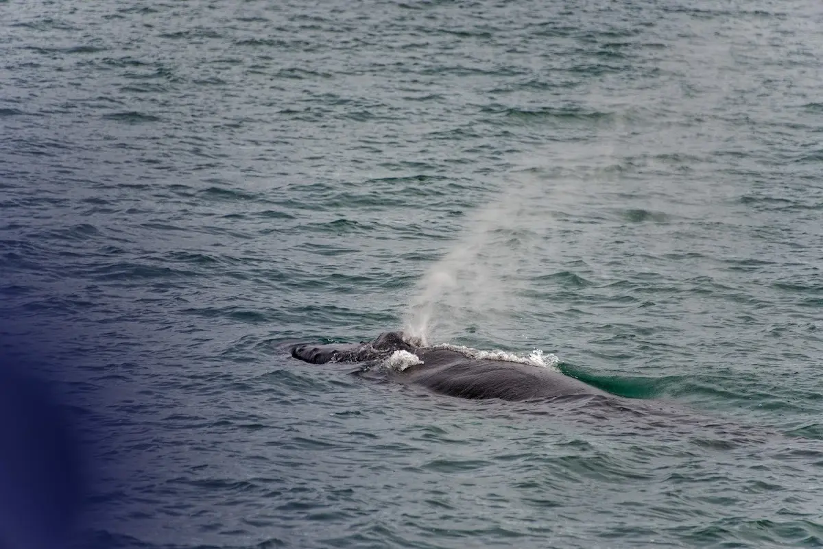
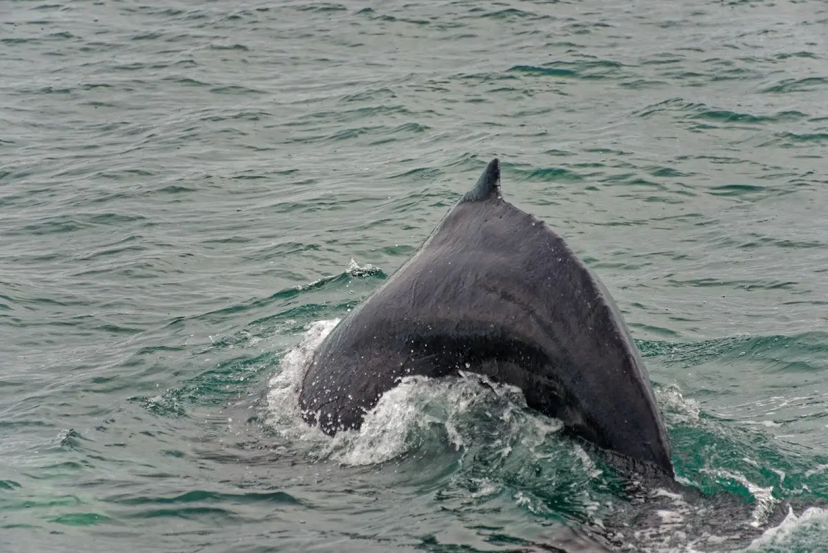
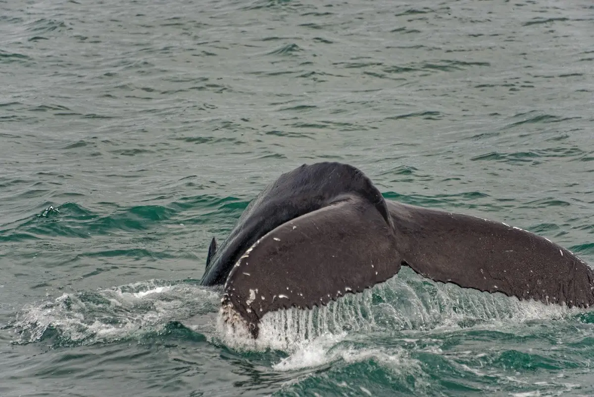
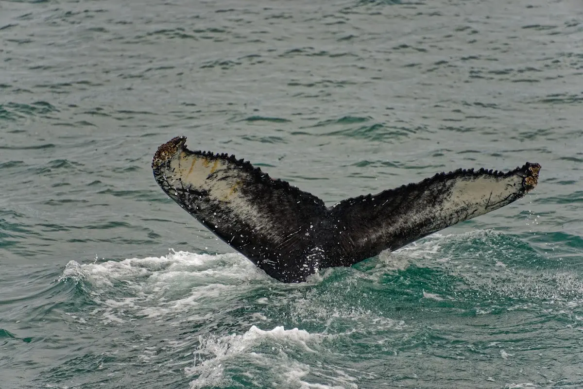
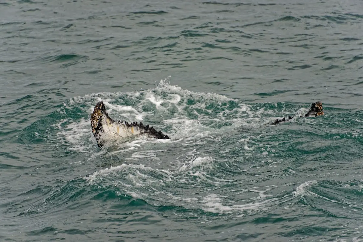
The Swedish Viking Garðar Svavarson wintered in Húsavik in 875 and was probably in Iceland earlier than Ingólfur Arnarson. He named the island after himself, Garðarsholmur, but apparently could not establish that historically. In Húsavik (in German “Häuserbucht”, house bay) you can go out into the Skjálfandi bay on small ships and watch whales there.
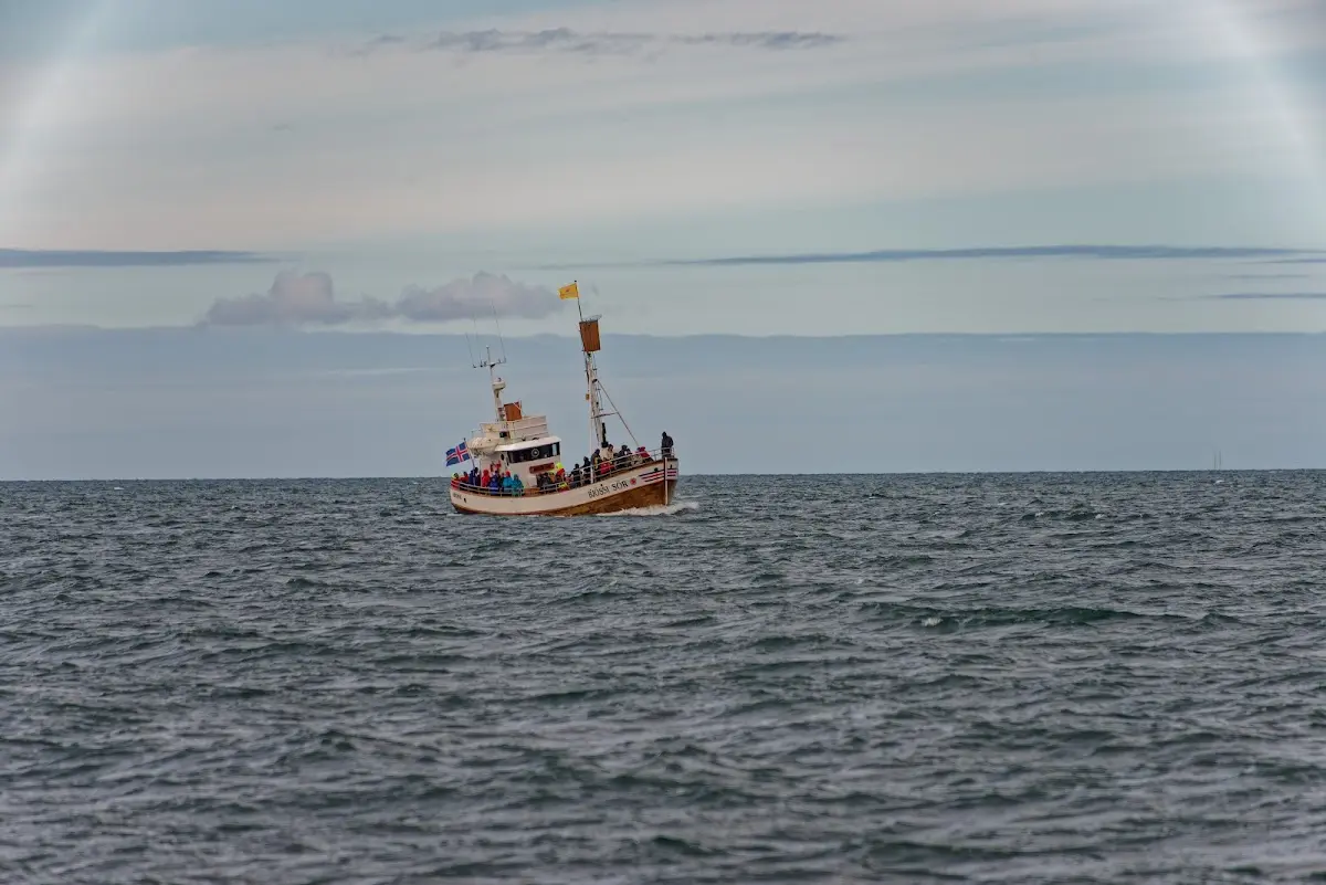
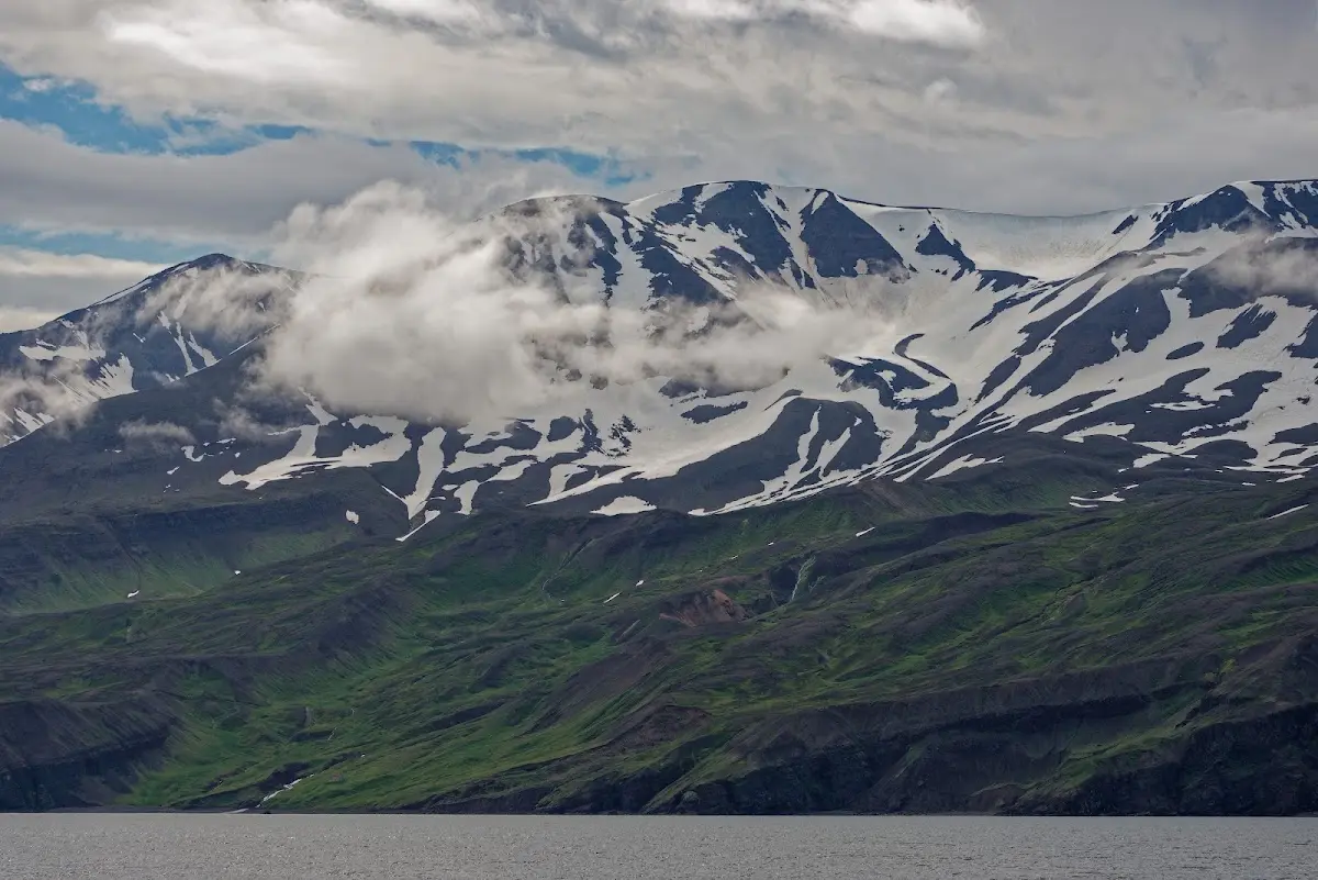
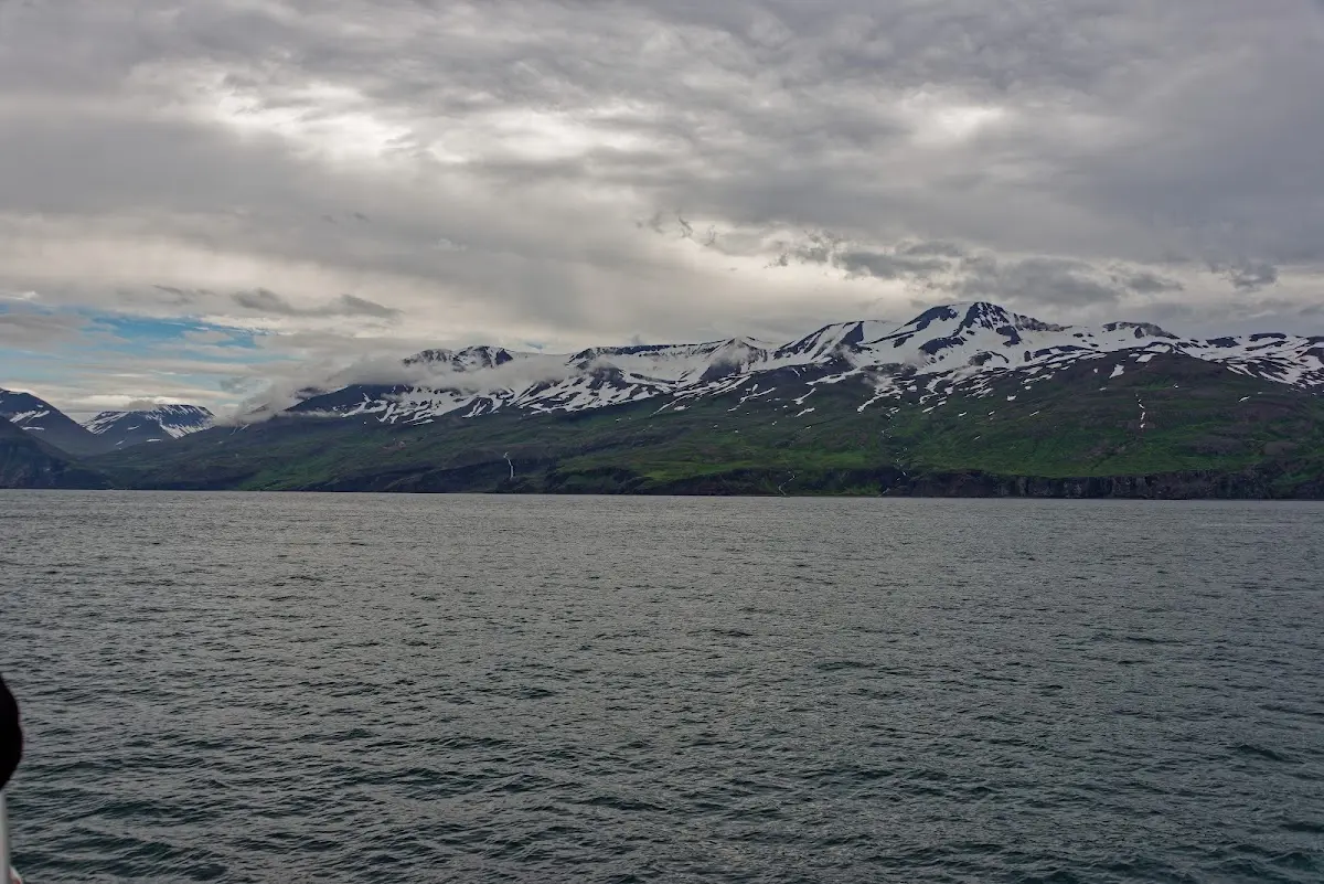
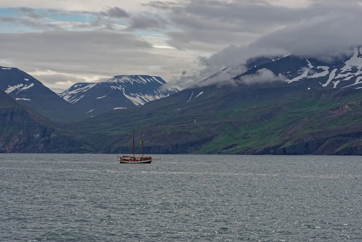
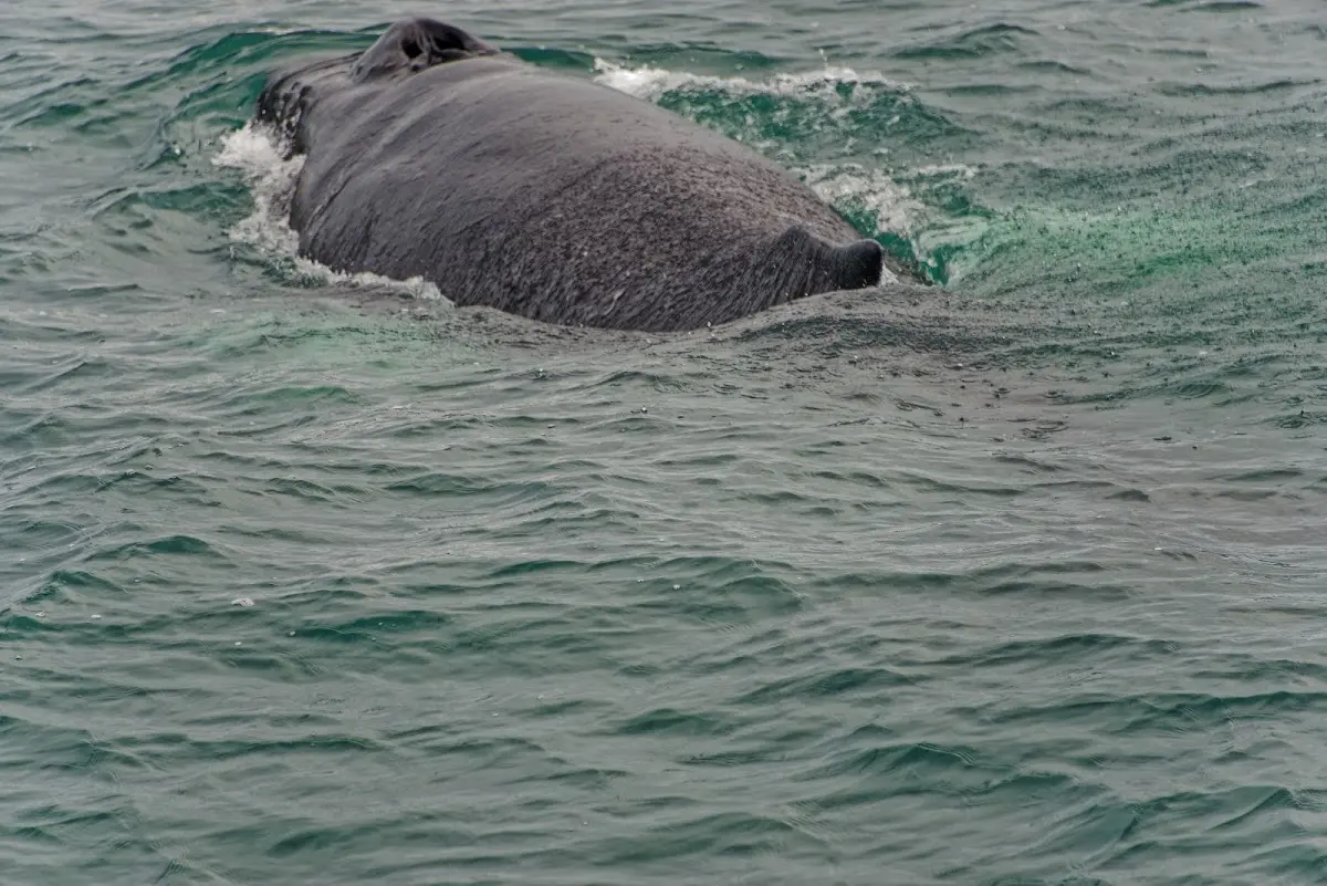
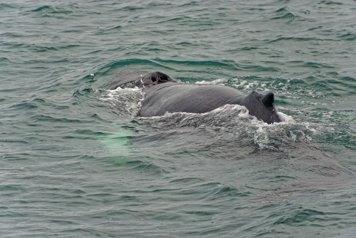
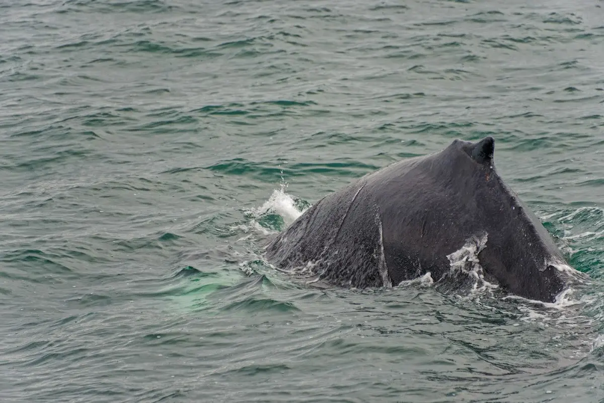
I saw five humpback whales in total on the roughly 3-hour trip. Here, representative of many similar pictures I took, a “dive” is documented. By the way, individual whales can be told apart by the pattern on the underside of their tail fin.
That was the first part of the report. Now on to the highland track Sprengisandur in part 2...