Iceland by Bike 2013 - Part 2
Deutsch | English
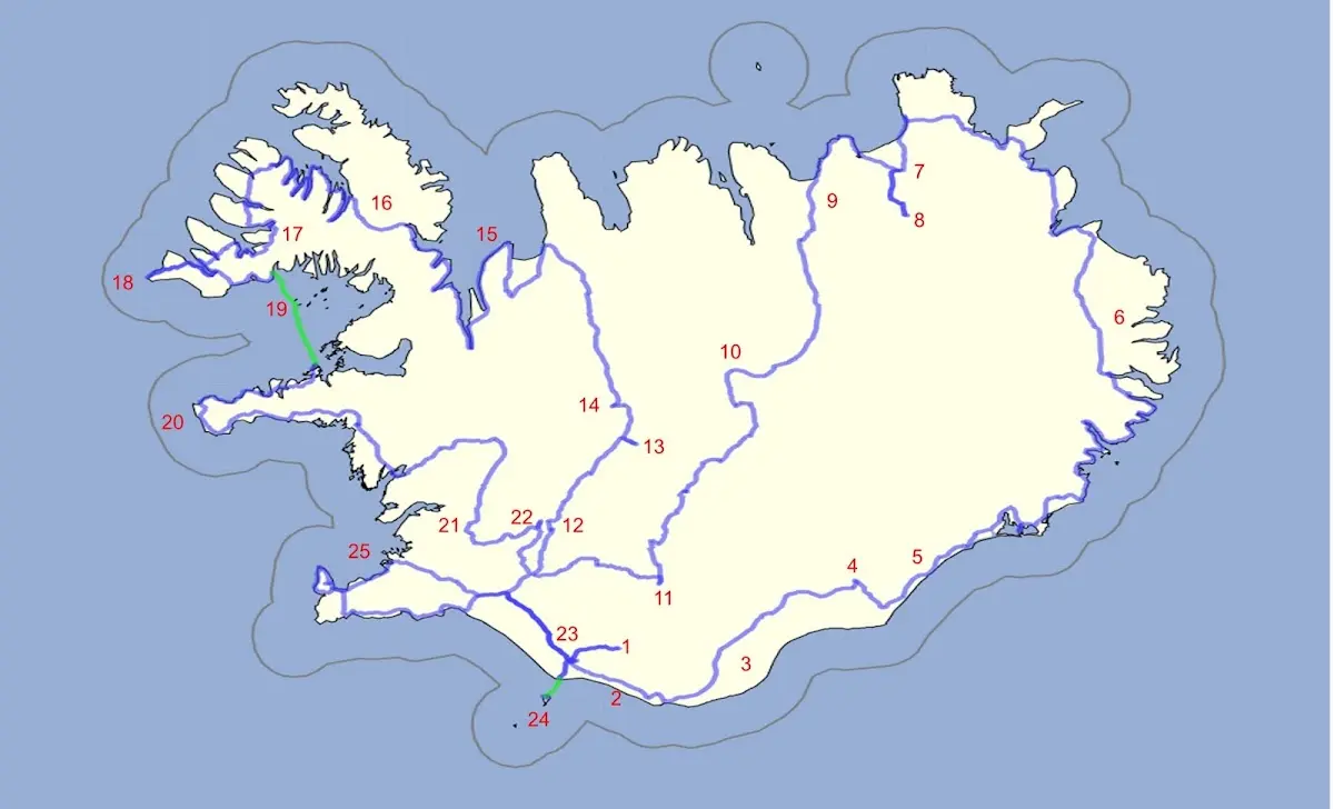
1 Þórsmörk hiking area 2 Between Skógafoss and Vik 3 Mýrdalssandur and other sandur plains 4 Skaftafell and Svartifoss 5 Jökulsárlón 6 The East Fjords and the northeast of Iceland 7 Asbyrgi and 8 Dettifoss 9 Husavik | 10 Highland track Sprengisandur 11 Landmannalaugar 12 Gullfoss 13 Kerlingarfjöll 14 Hveravellir 15 Vatnsnes peninsula 16 The Westfjords 17 Dynjandi waterfall | 18 Látrabjarg 19 Flatey 20 Snæfellsnes 21 Þingvellir 22 Geysir 23 Seljalandsfoss 24 Vestmannaeyjar 25 Reykjavík |
10 Highland track Sprengisandur
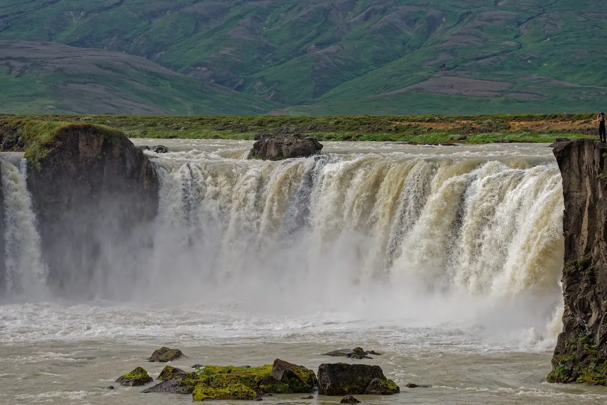
After the Althing at Þingvellir had decided around the year 1000 to introduce Christianity as the state religion, a certain Þorgeir threw the last pagan idols into the waterfall that was henceforth called Goðafoss (= waterfall of the gods).
The Goðafoss is one of the better-known sights of Iceland and during the day there are many tourists.
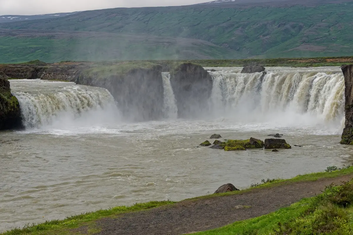
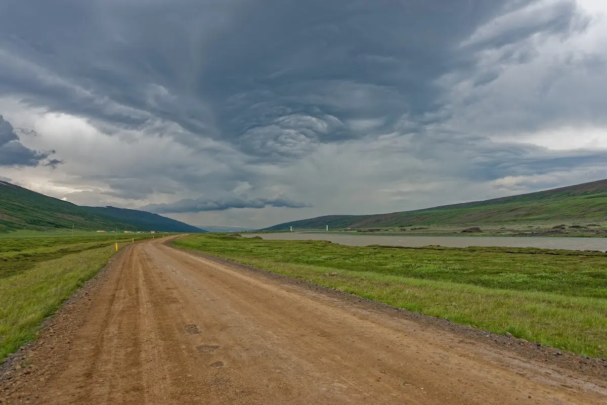
The highland track Sprengisandur, in Icelandic Sprengisandsleið, officially begins here, that is about 45 km further south near the farm Mýri in the valley Bárðardalur.
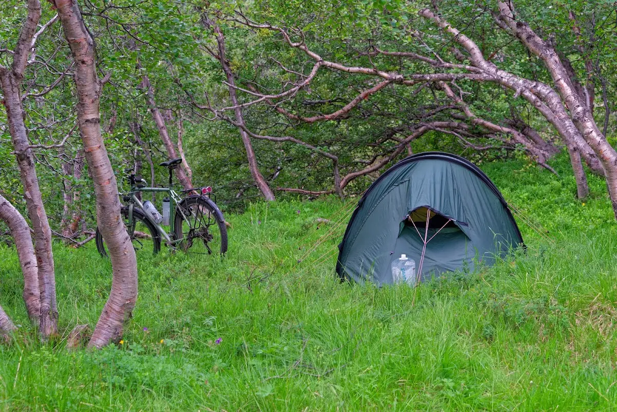
In a small birch grove with many streams you can pitch your tent; I wanted to write undisturbed, but it was not quite like that: non-biting midges were very numerous that evening, so that I quickly retreated into the tent and cooked my meal in the inner tent. These creatures are very insistent and try to crawl into every body opening.
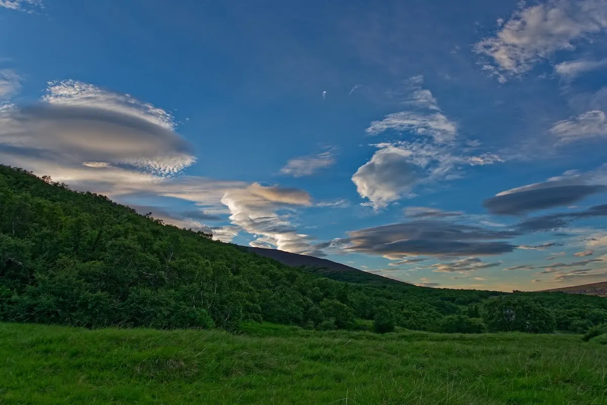
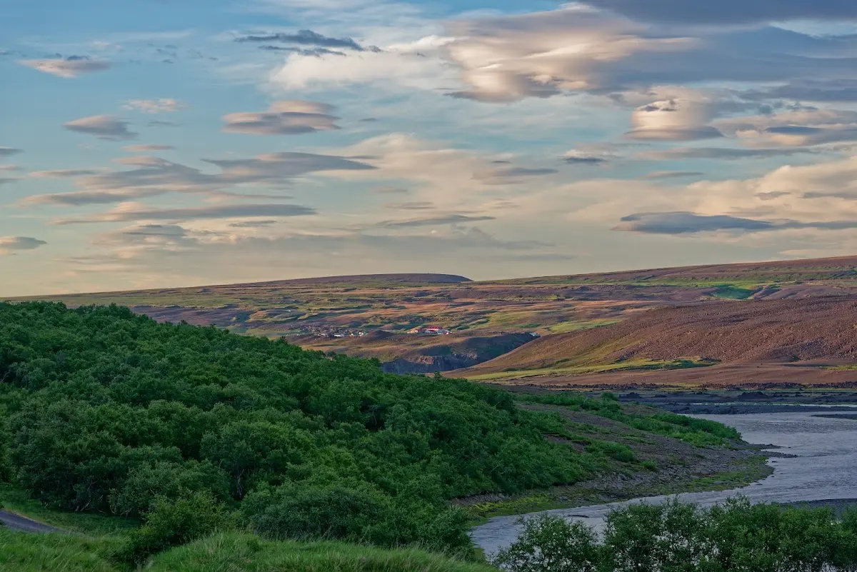
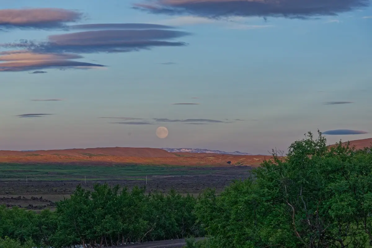
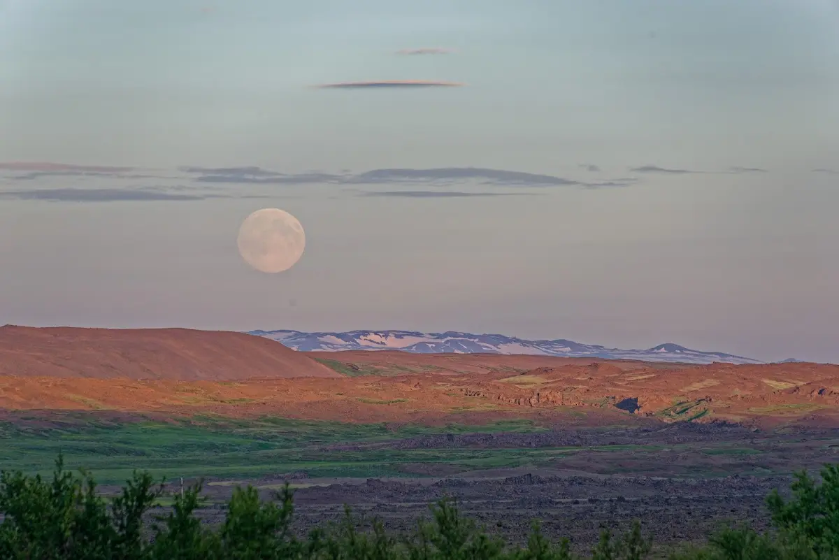
The next morning the actual highland track began, road designation F26, near the waterfall Aldeyjarfoss.
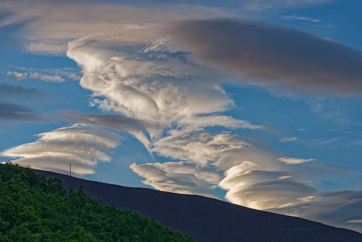
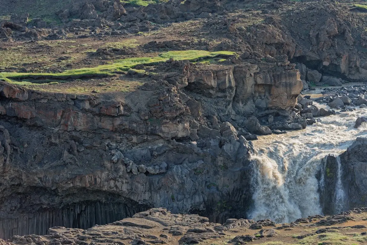
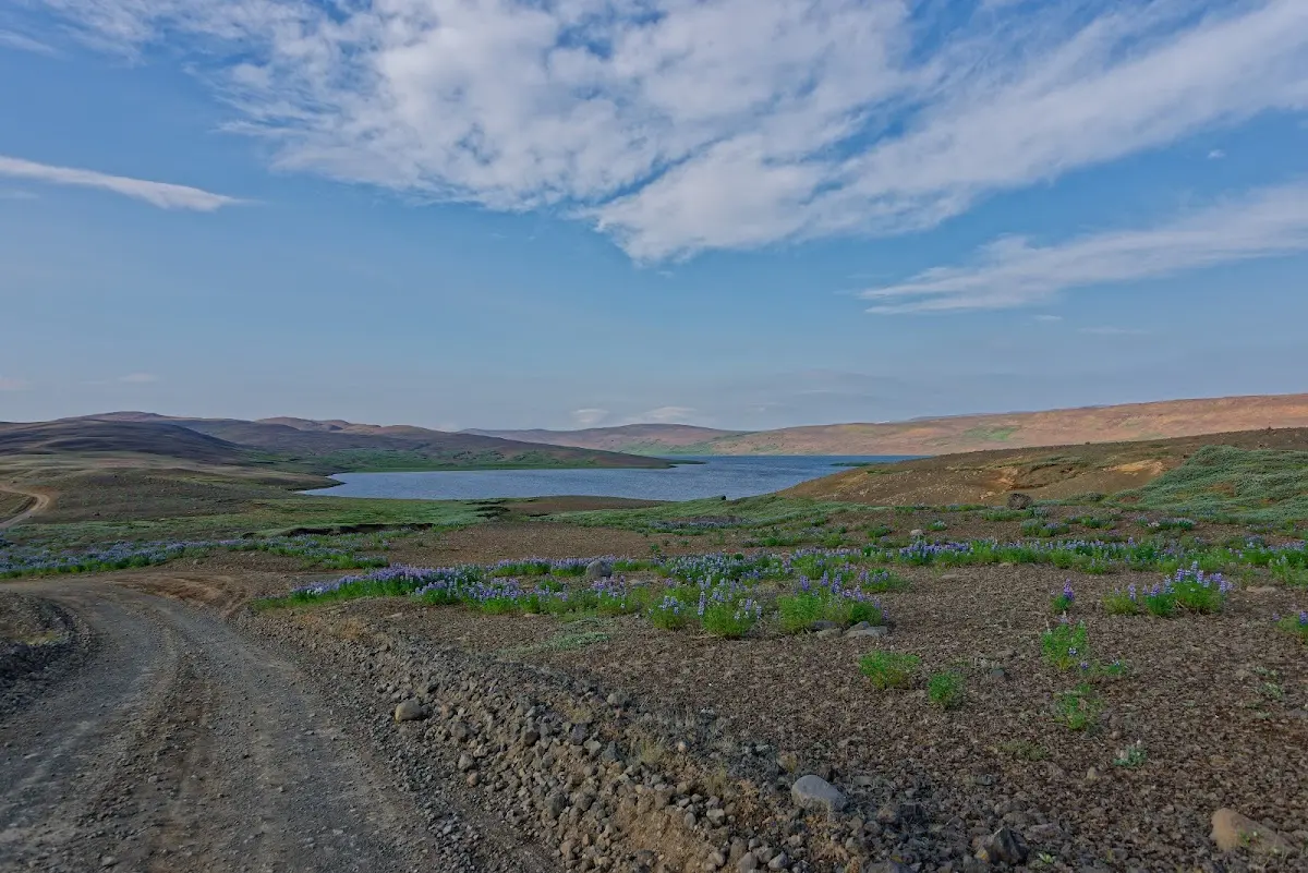
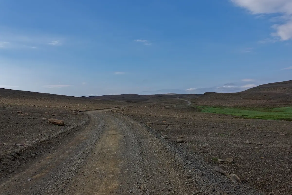
Since I just mentioned the Althing at Þingvellir above: in earlier times people rode over the Sprengisandur from the East Fjords to the Althing, which took place every year in July. The bishop of Skálholt also used this route when he went on visitations to the northeastern provinces. In the 17th century the Sprengisandur was no longer travelled and was only rediscovered at the end of the 18th century. Not only trolls and evil spirits were to be found here in earlier times; the highlands were also a refuge for outlaws. A famous Icelandic folk song, “Á Sprengisandi”, mentions this (link to YouTube or lyrics). Einar Brynjólfsson was one of the pathfinders in the 18th century and on this expedition tracked down the best-known pair of outlaws in Iceland, Halla and Fjalla-Eyvindur, in the highlands in 1772.
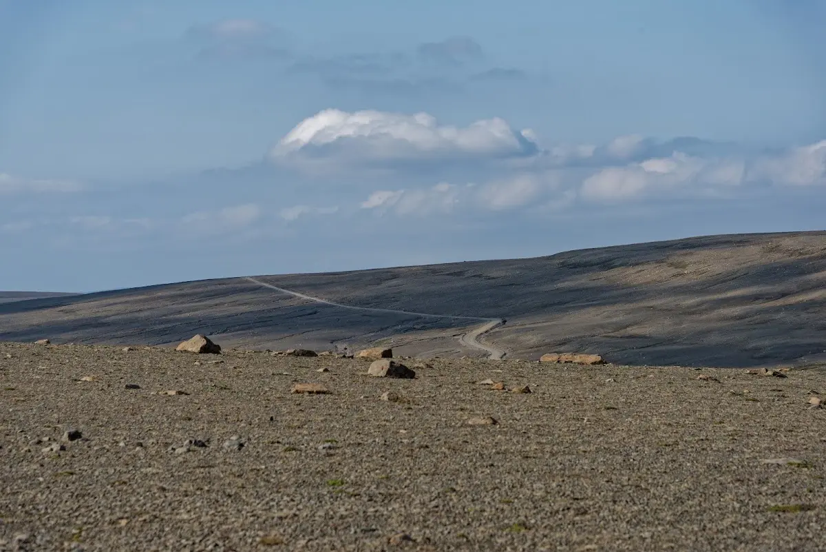
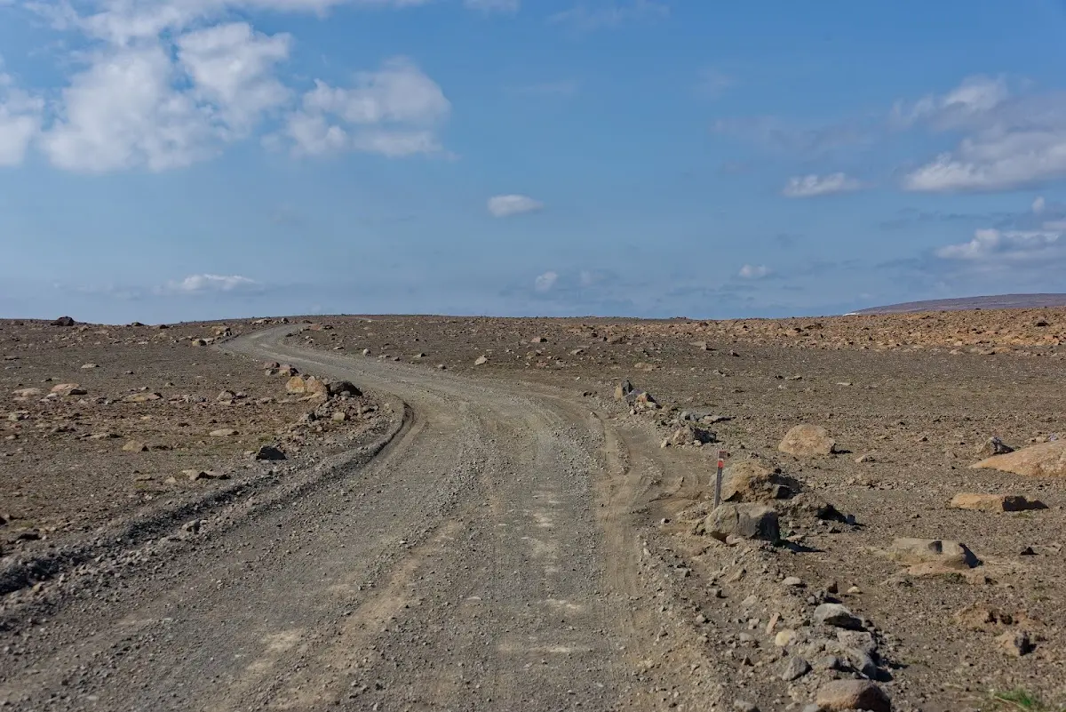
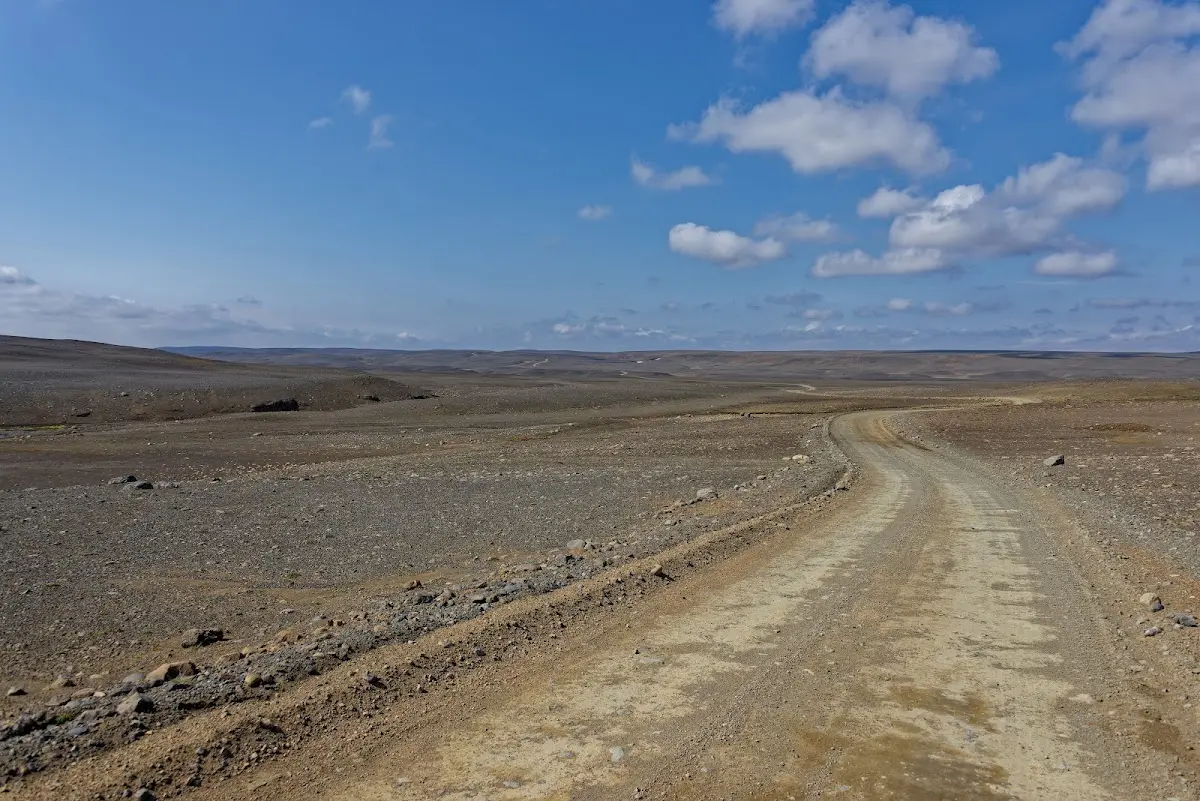
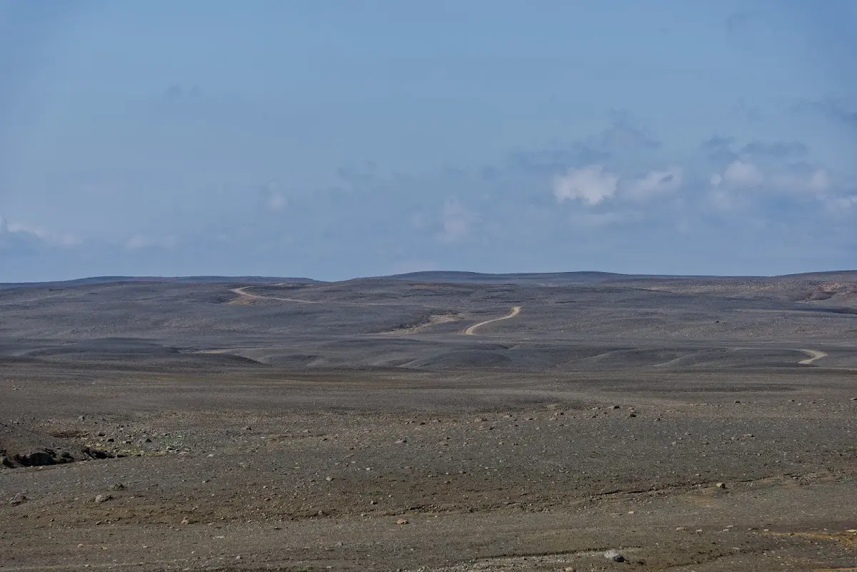
Because of the weather changes and the dryness the Sprengisandsleið has always been feared, and the name comes from the fact that horses were supposed to “sprengen” (gallop) over it as fast as possible so that they got through the dangerous stretch quickly. In this tradition I also rode the track relatively fast :) By the way, the first car drove over the track in 1933; a boat carried it across the Tungnaá.
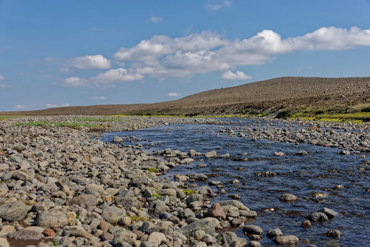
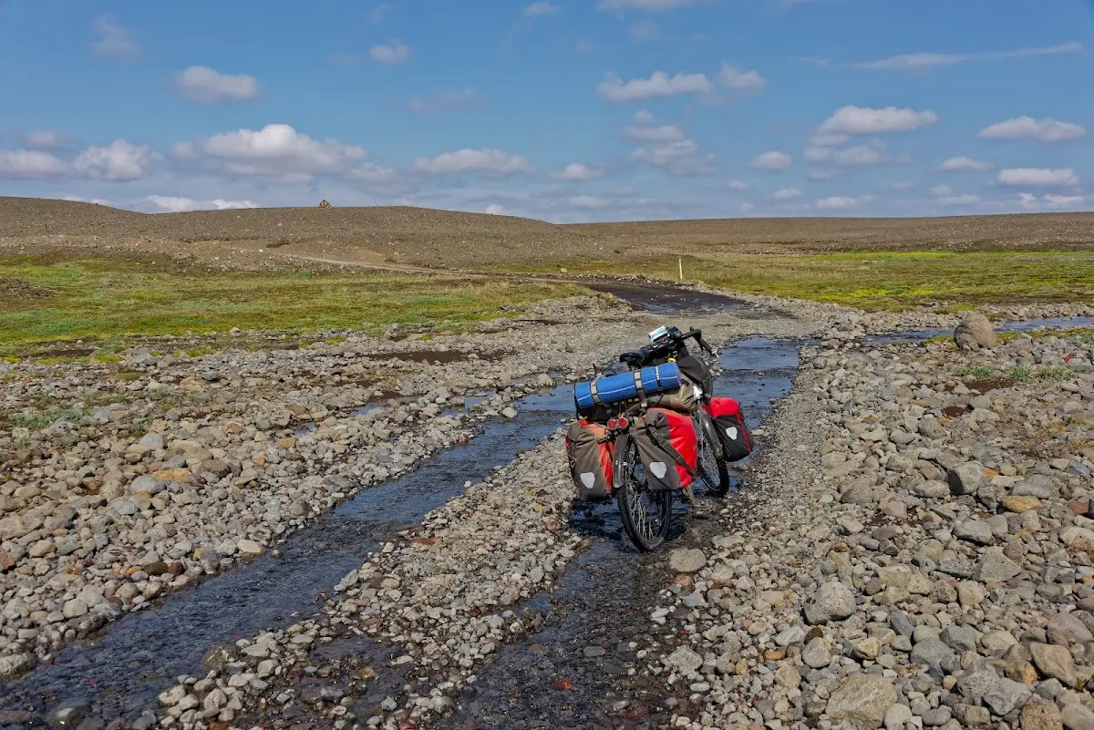
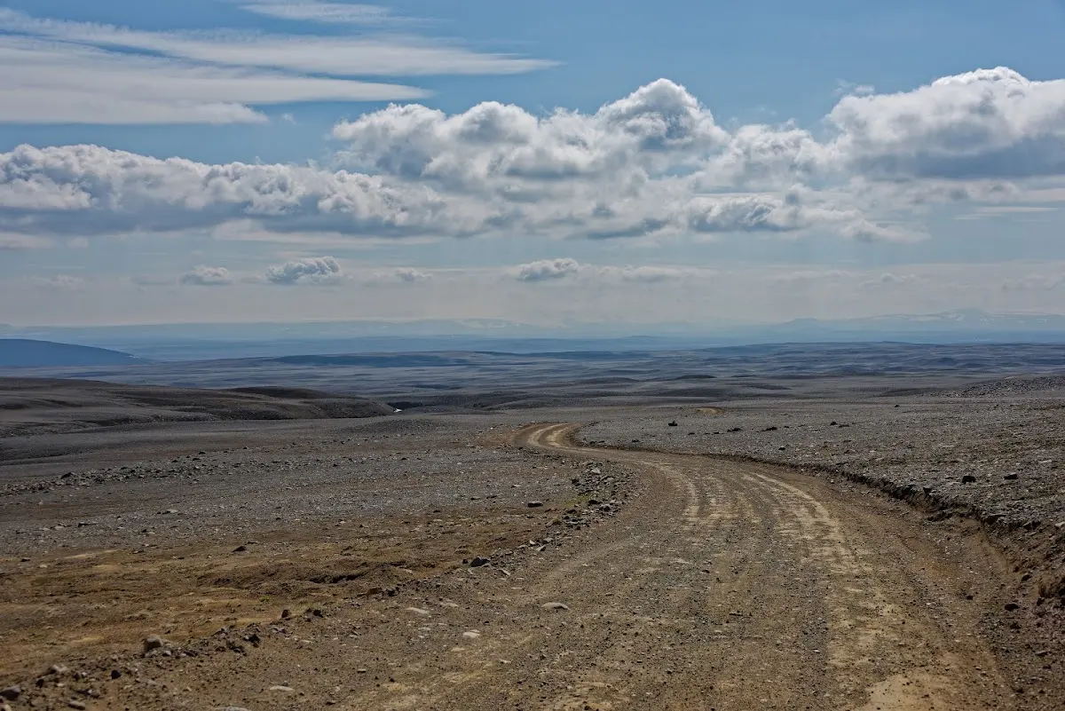
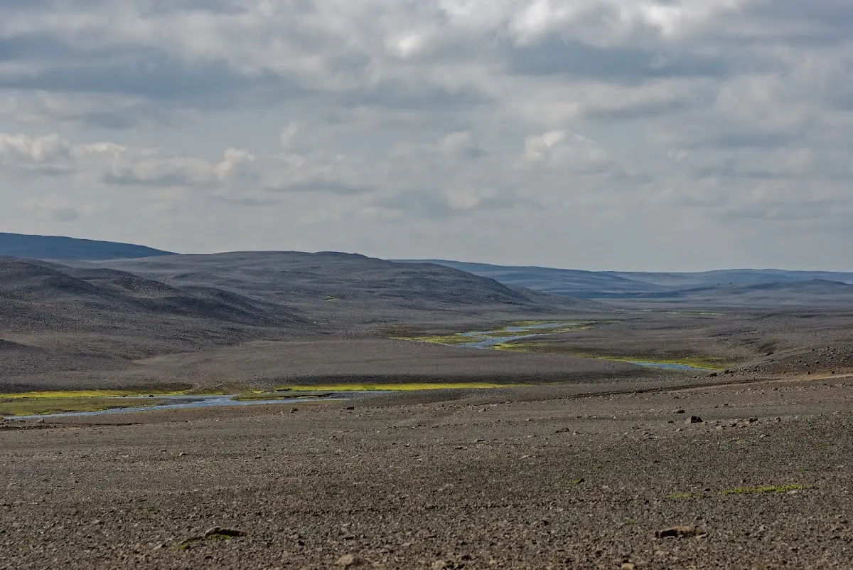
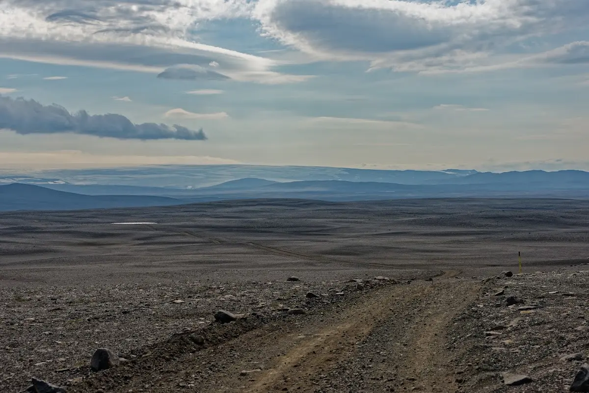
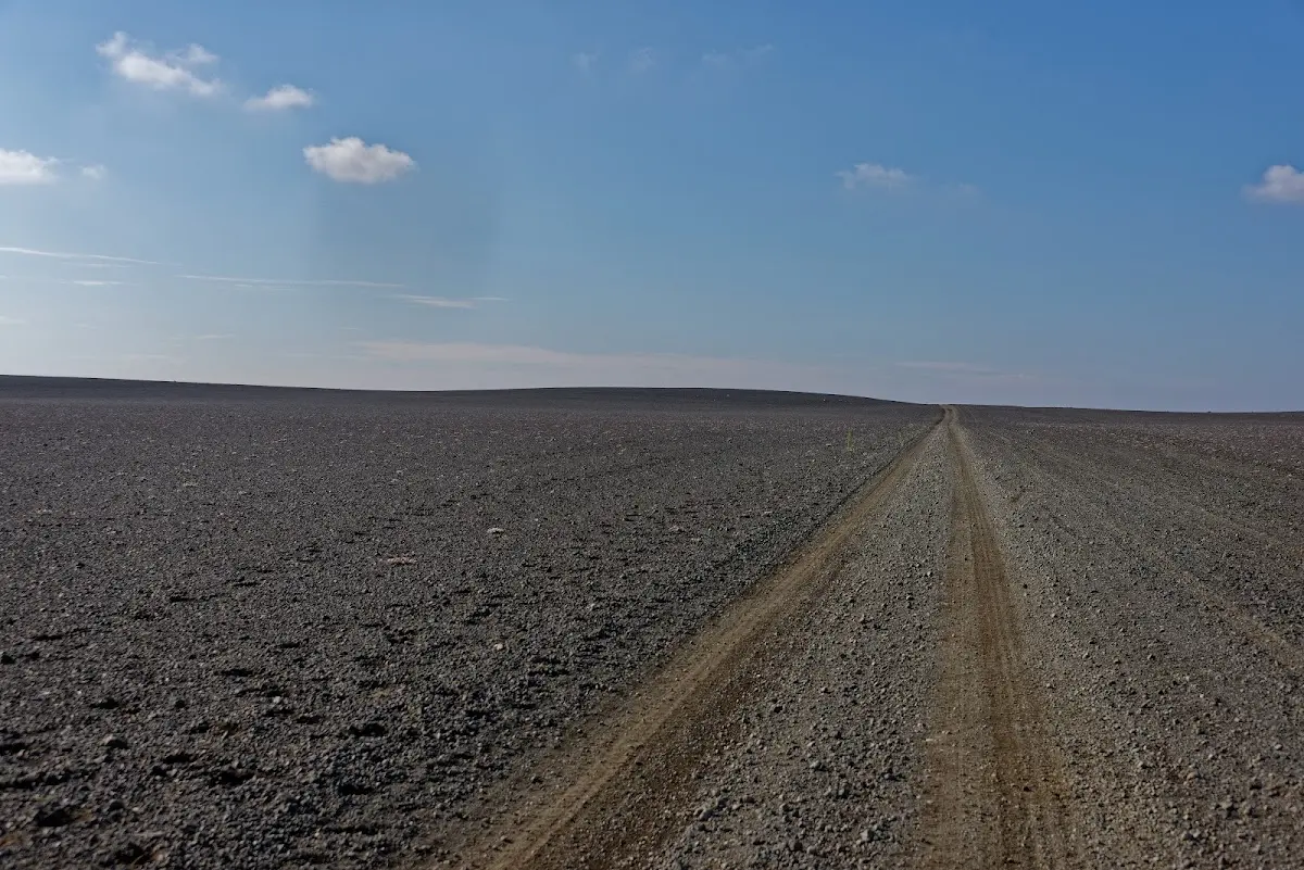
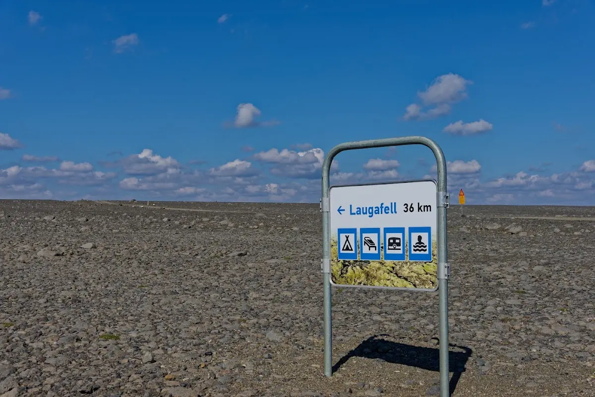
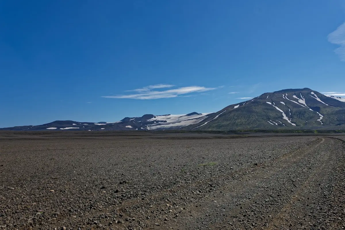
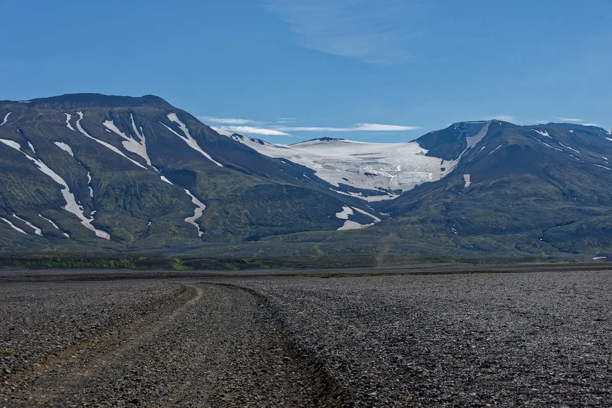
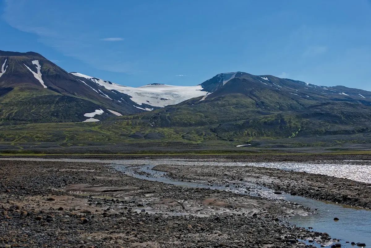
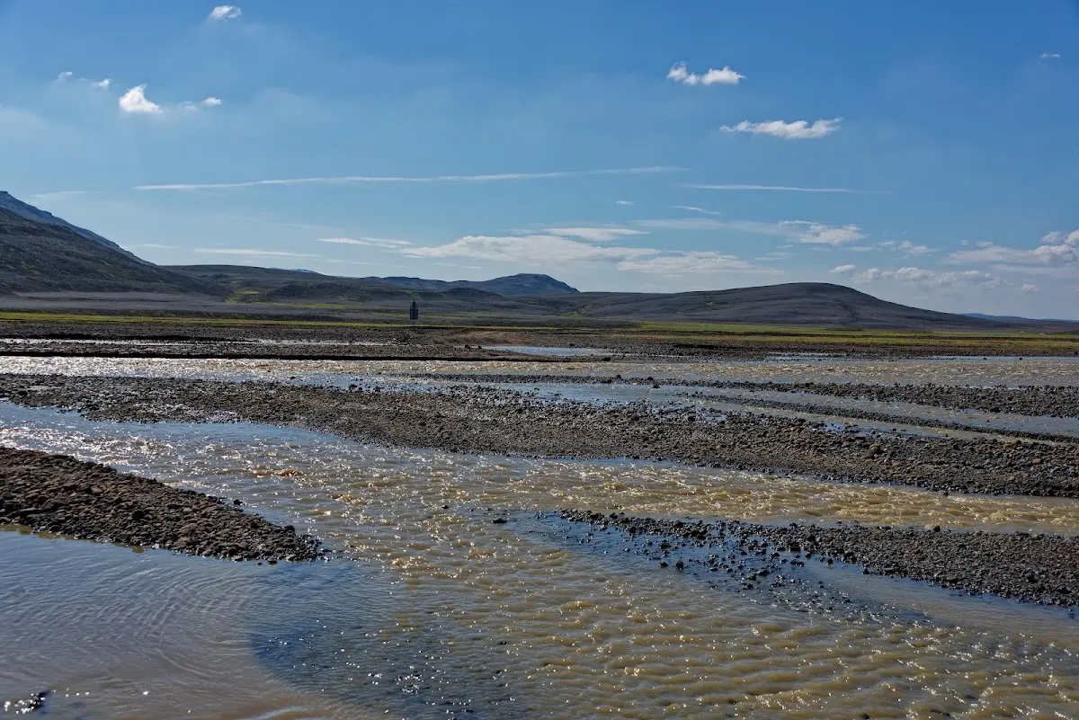
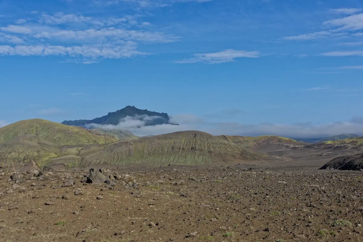
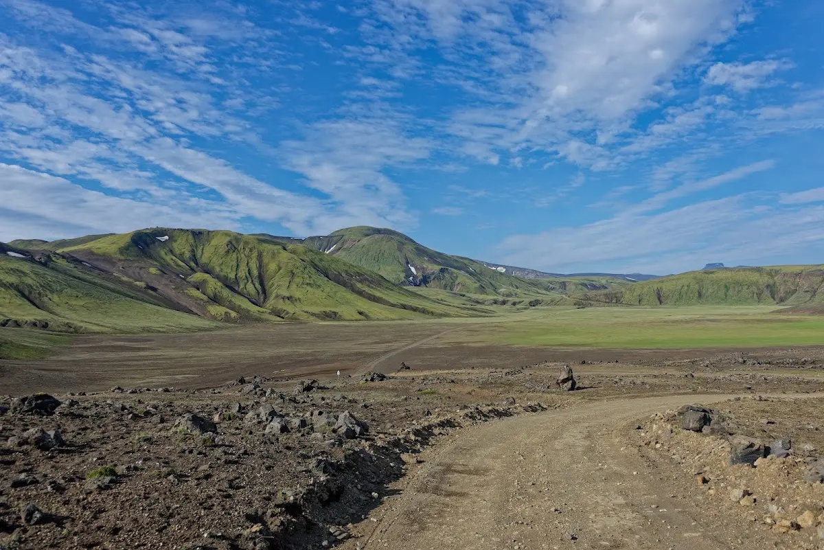
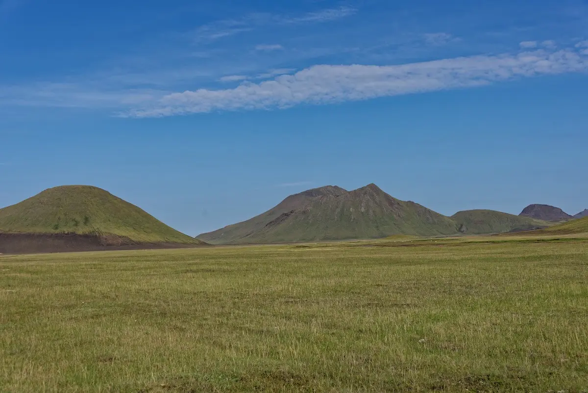
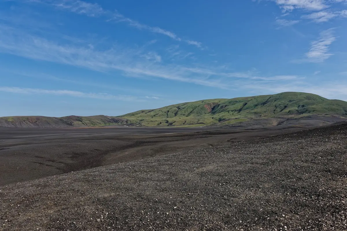
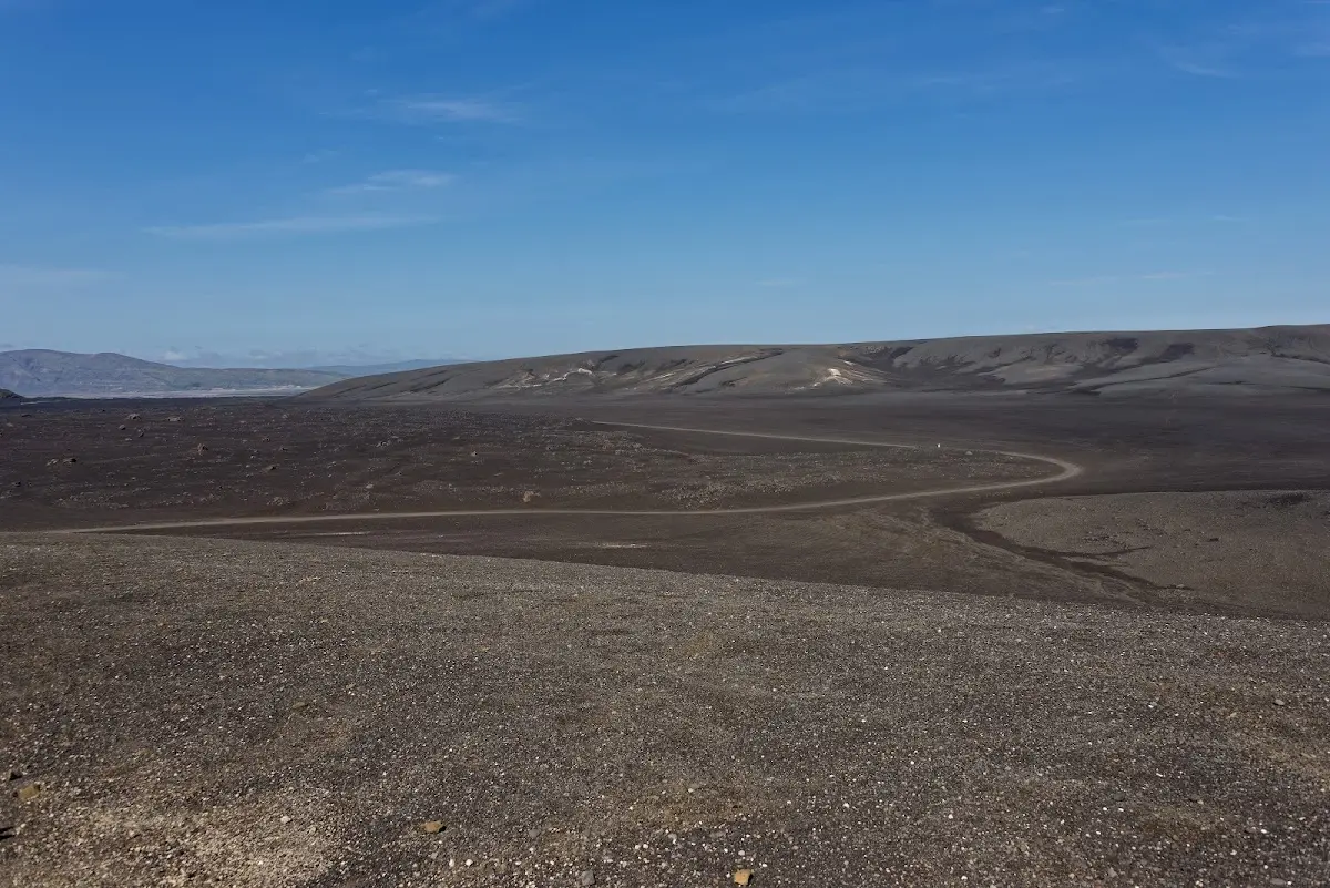
Around the rivers there are small green patches; otherwise the gravel plains are almost endless and the number of lively colours is greatly limited. From the actual Sprengisandur route another track branches off to Laugafell,
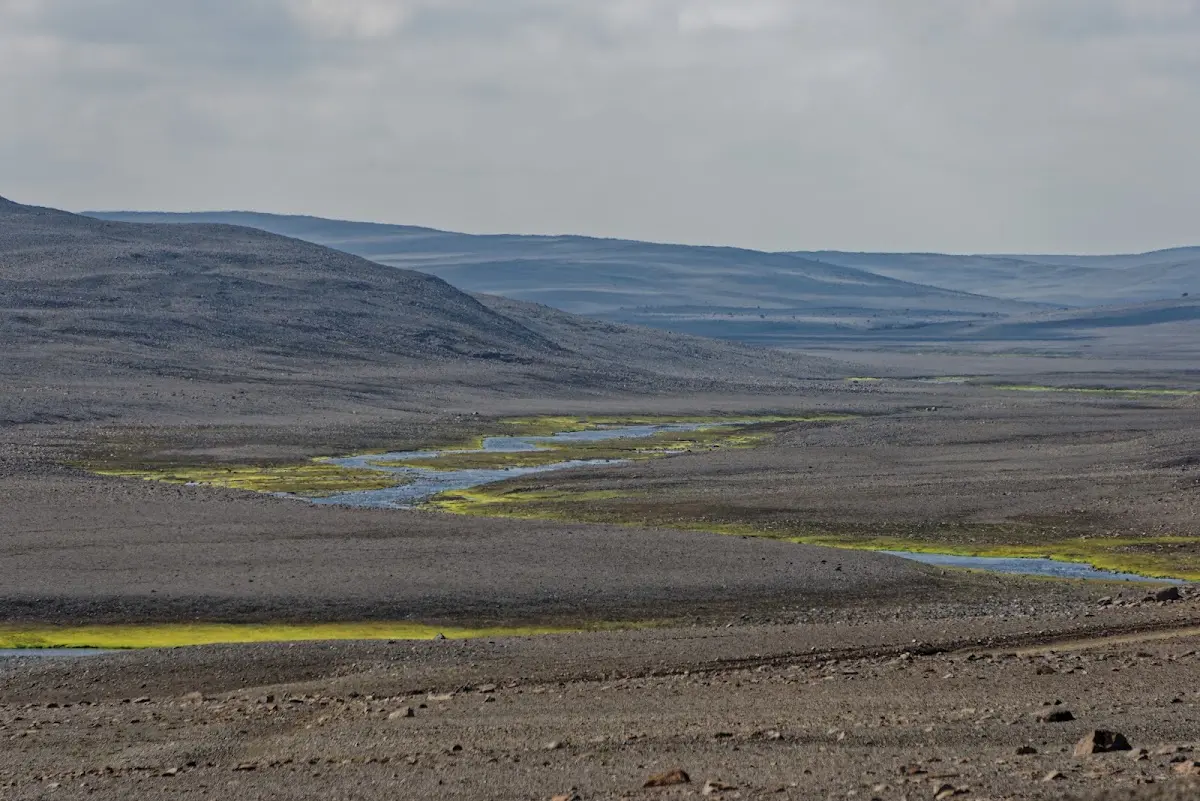
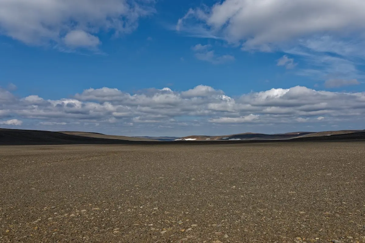
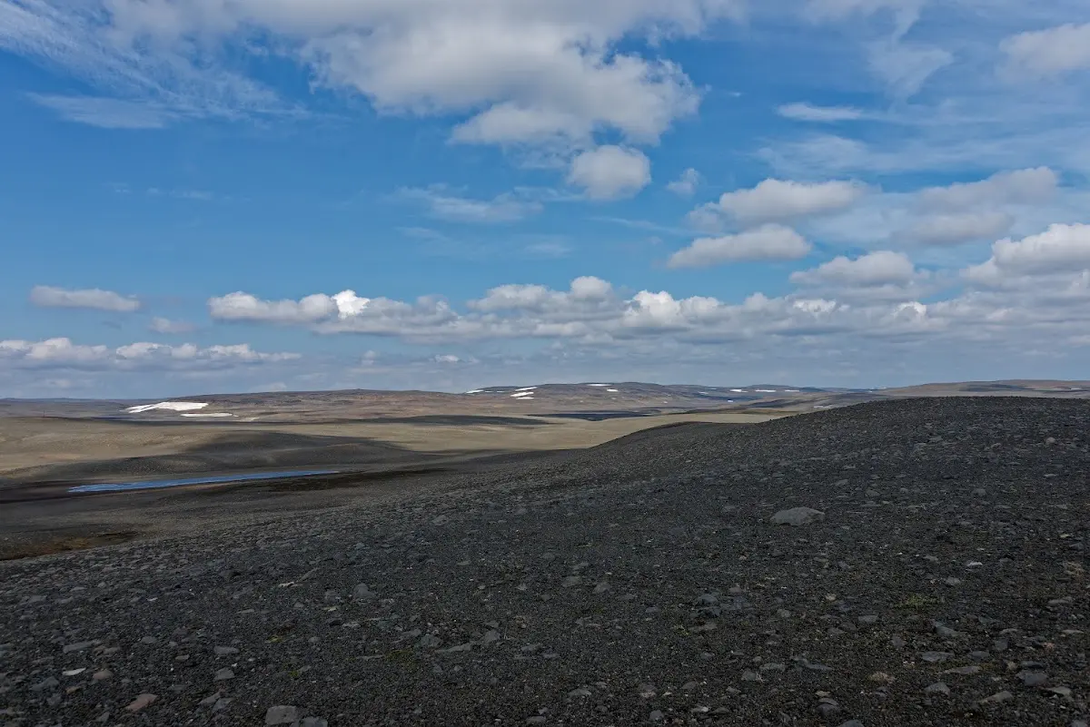
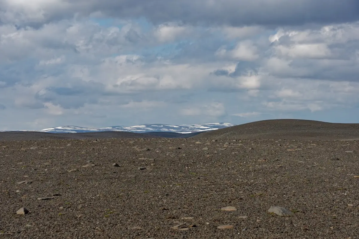
which I reached after many hours of riding. The Icelandic Alpine Club Ferðafélag runs a hut there. Very pleasant for me and other women hikers there that evening: the natural hot pot, as you can see in the pictures below.
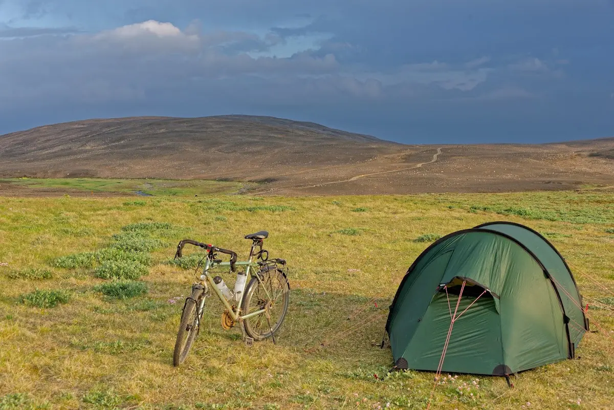
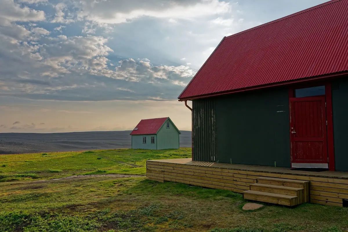
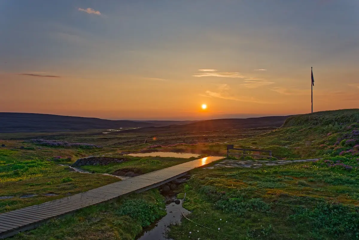
The next morning I went back on another track, over a few fords, to the main route F26, which I reached after about 36 km.
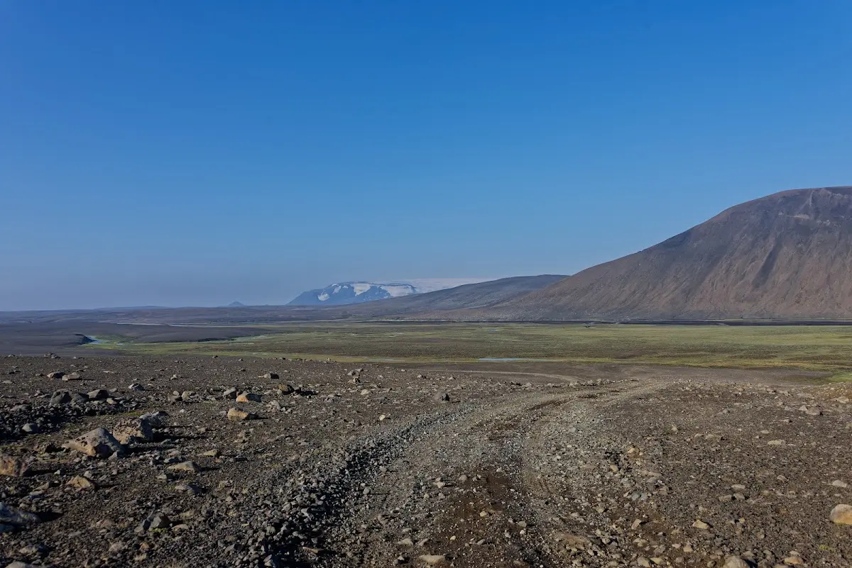
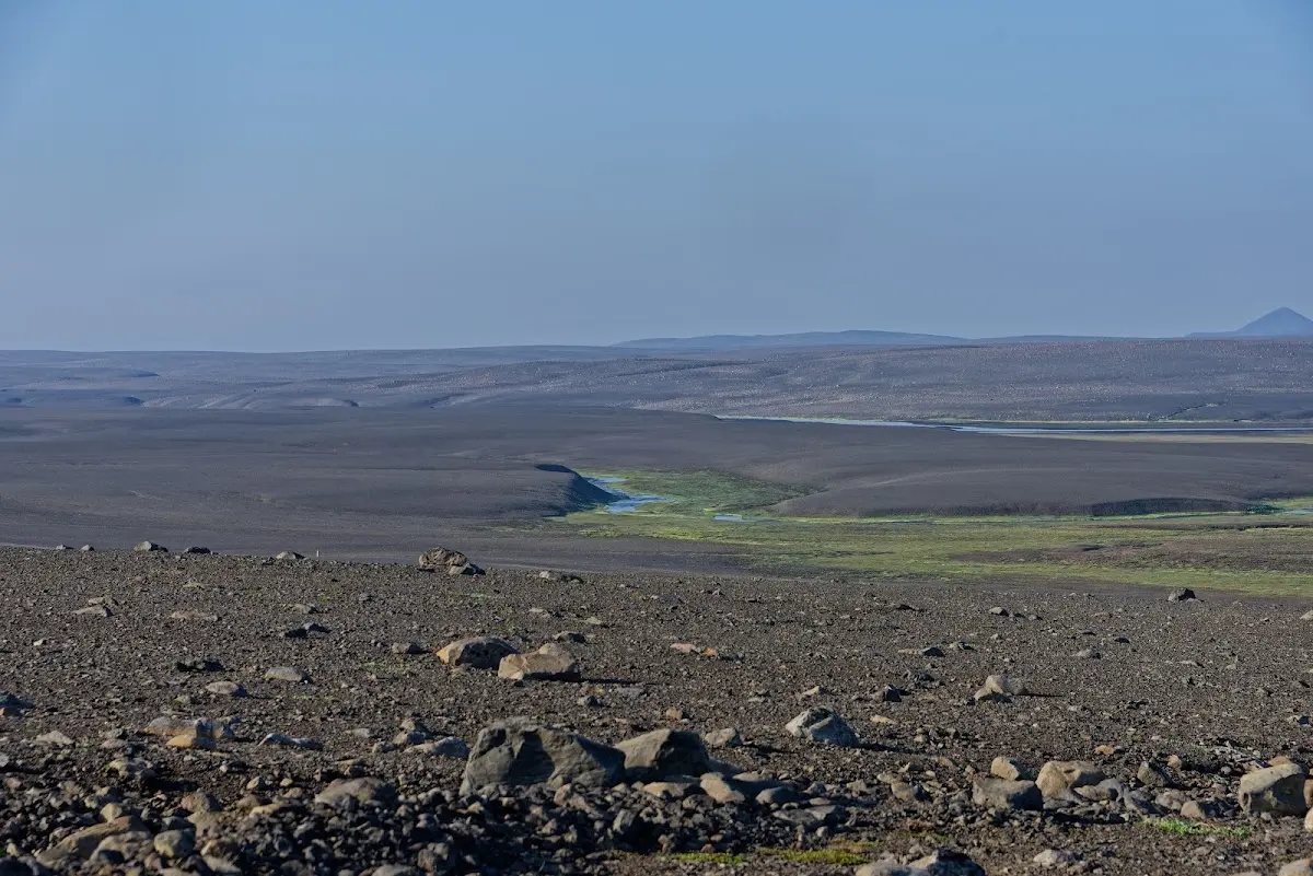
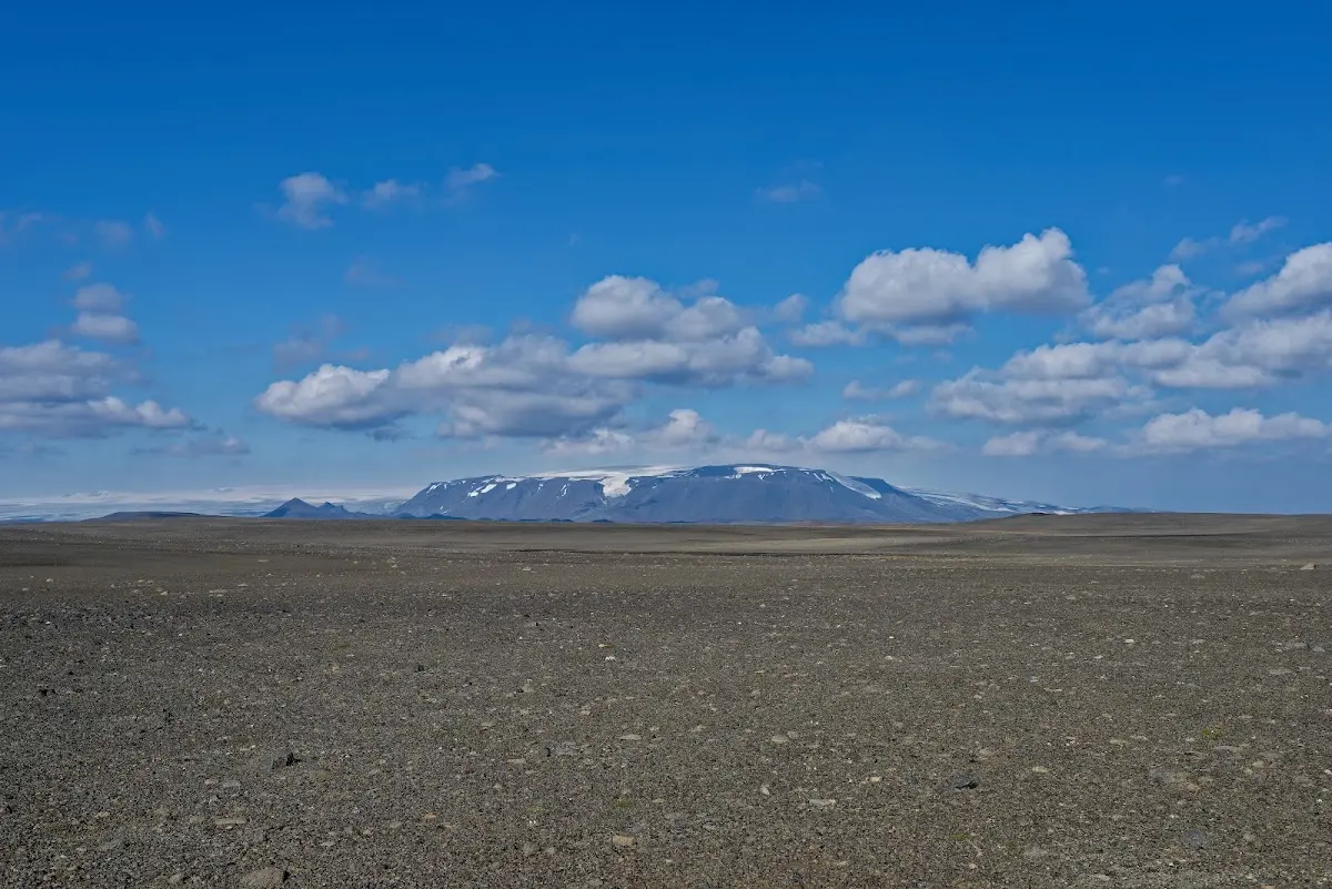
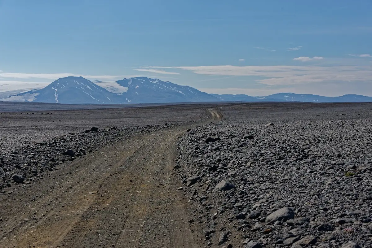
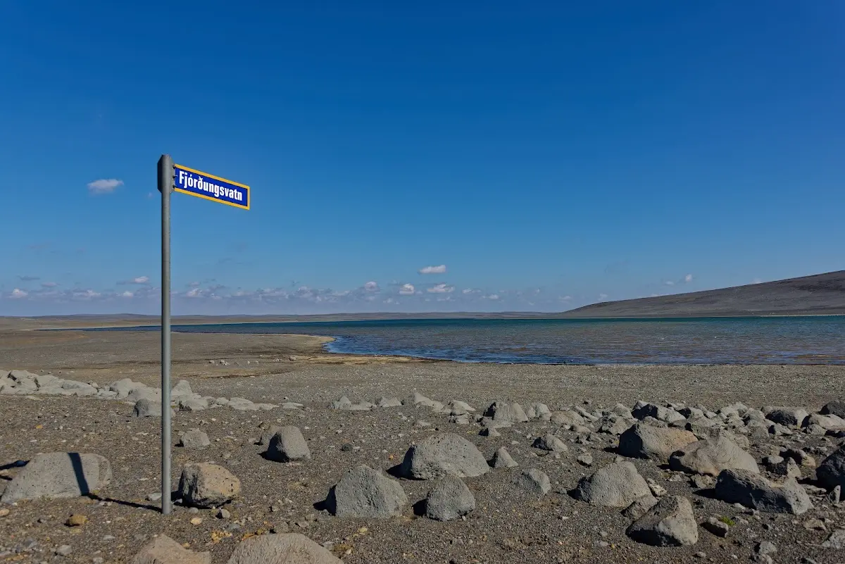
A lot of cyclists’ tall tales are spread about fording in the highlands. I have different approaches depending on the depth of the ford.
As long as the water only comes up to my chin I use a technique I picked up on my extensive travels, for example in Tanzania: I lift my loaded bicycle up and simply balance it on my head by the bottom bracket.
As a second option for deep rivers, or just for fun, I fastened waterproof and airtight empty dry bags to the sides and underneath my panniers so that my bike becomes buoyant. To make headway in the sometimes strong current I developed a special impeller that I can drive via pedals and chain and engage in place of the cassette (and with it the rear wheel); water sucked in is accelerated in the pipe system of my bike and shot out at the back through steerable nozzles. This turns my bike into a kind of jet ski and I can race upstream over rapids. That was helpful at Nýidalur when a jeep got stuck in the water a little above the ford. I was just sitting over a noodle soup when the hut warden set off in his four-wheel-drive car, but he could not reach the stranded jeep, so that I first brought women and children to safety in a dramatic action by water on my bicycle jet ski.
The third method is based on the further development of the Siemens air hook into a kind of crane device. For this I also had suitable rigging with me, a sling with a capacity of up to one tonne. With a radio remote control, the batteries of which I could charge via my hub dynamo (as well as the batteries of my camera, GPS, phone etc.), I could control the whole thing and thus crane my bike from one bank to the other, sometimes riding along on the load myself, against all safety regulations...
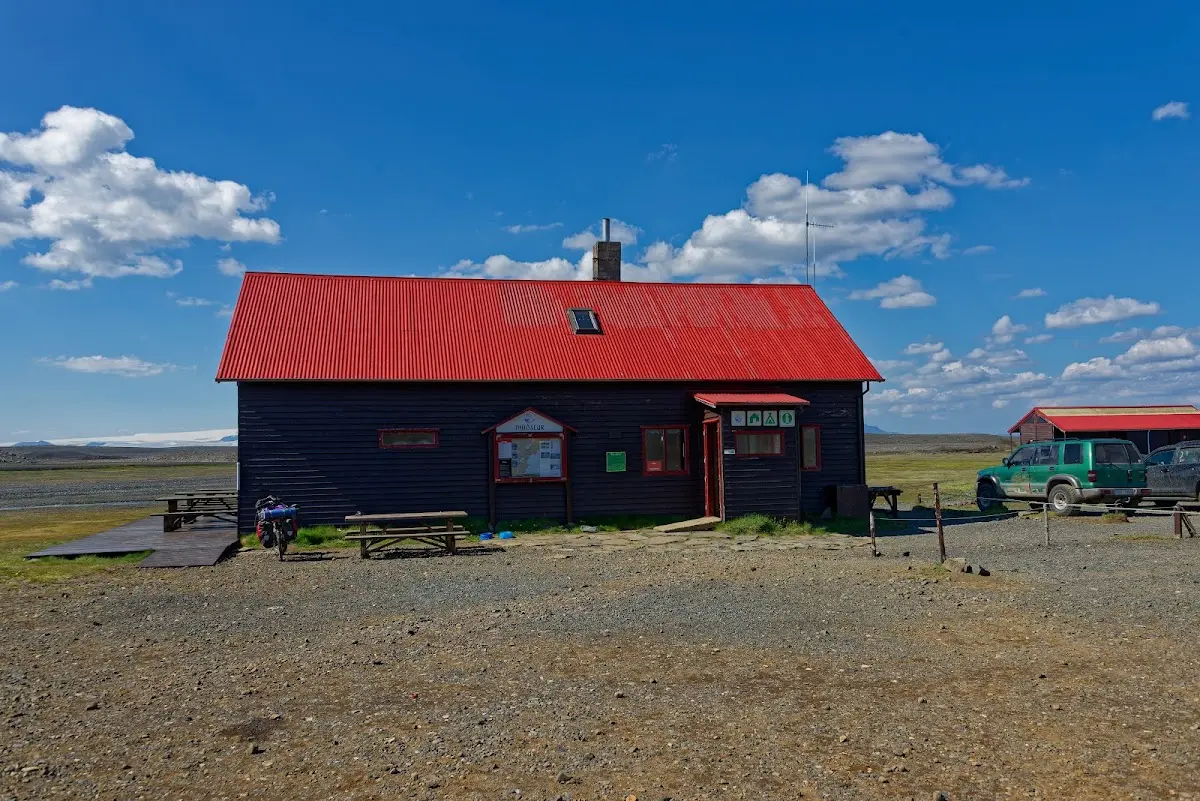
Above you can see the Ferðafélag hut Nýidalur; there I spooned a noodle soup, and the story with the stuck jeep did in essence happen there, too. The hut warden, by the way, was a cyclist himself and told me about his participation in the Styrkeprøven in Norway. My speedometer has a temperature display, and there on the table near the wind-sheltered hut wall it showed a temperature of 50 degrees, which is rather rare in Iceland.
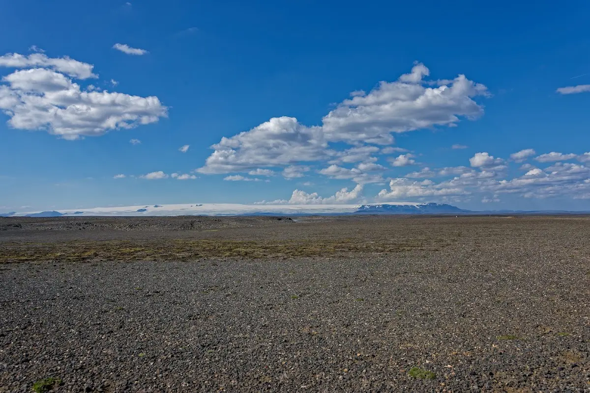
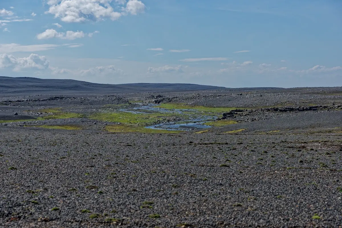
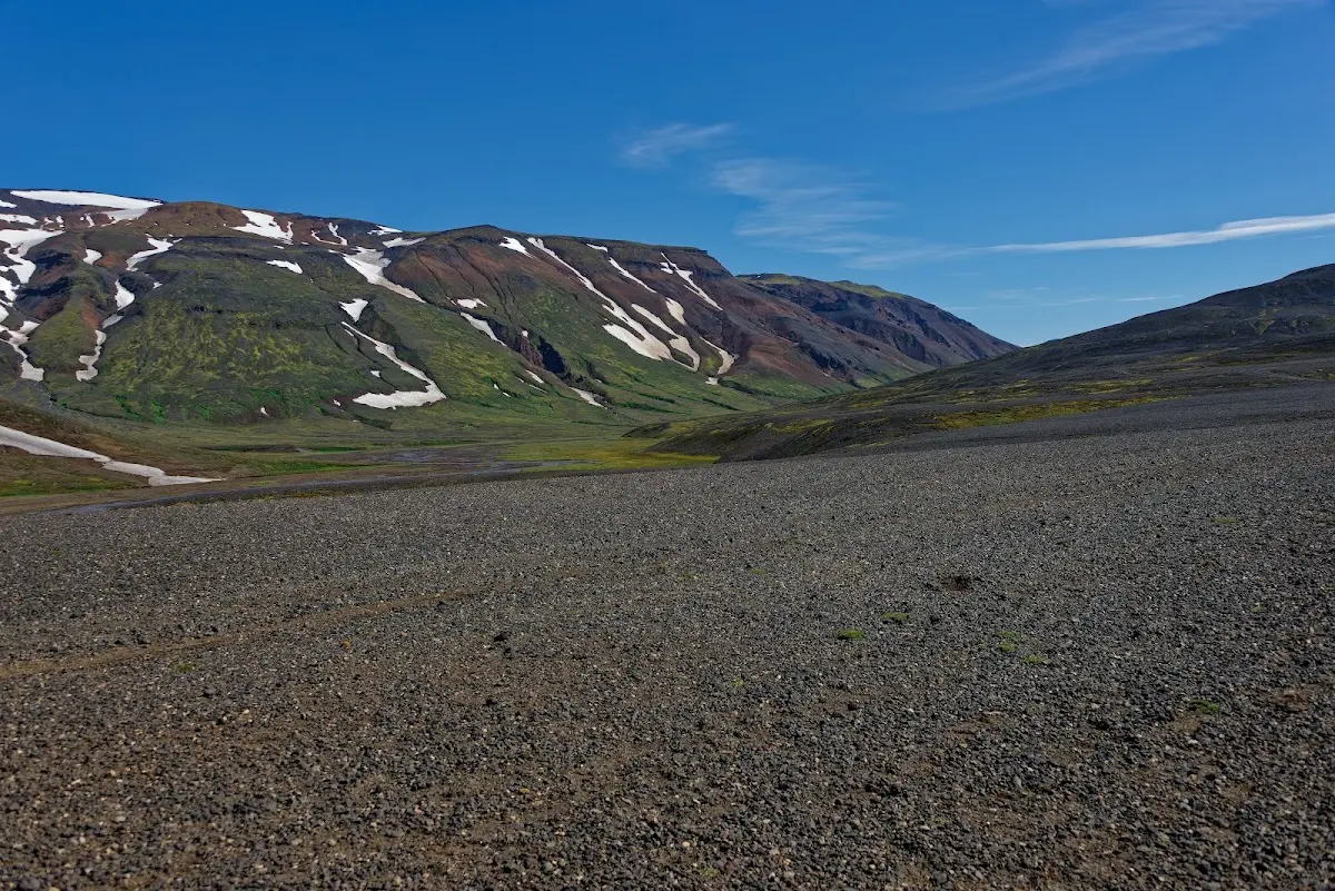
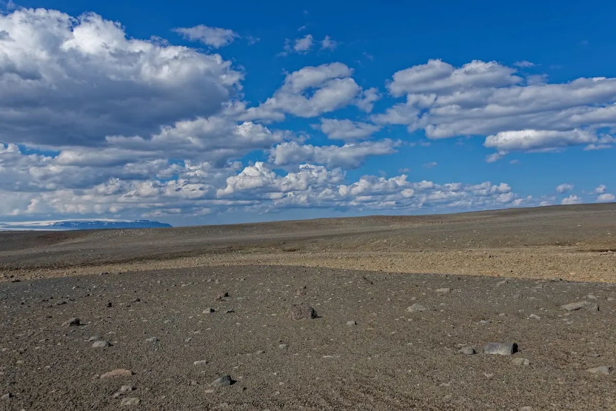
From Nýidalur the track got rather worse, and in the evening after 110 km the legs were not the primary problem but attention, so a matter of the head, as you have to be careful all day because of sand, potholes, washboard, stones etc.
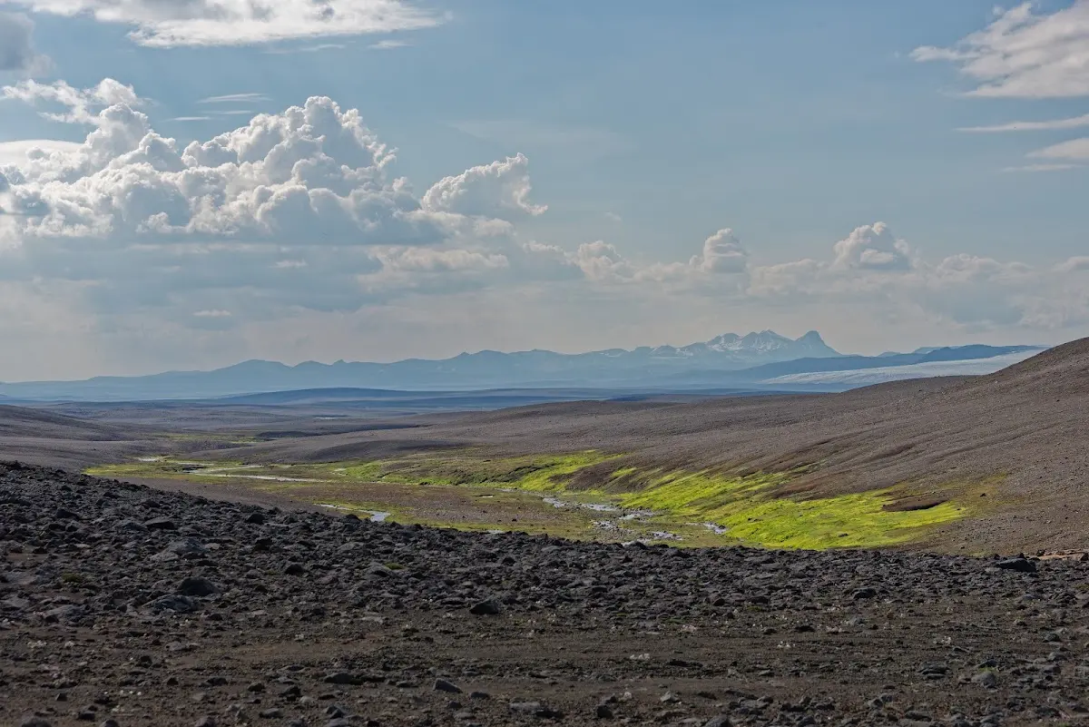
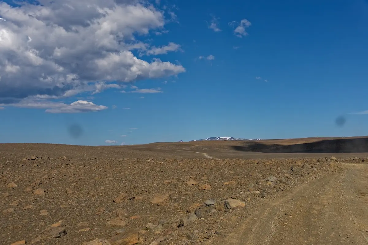
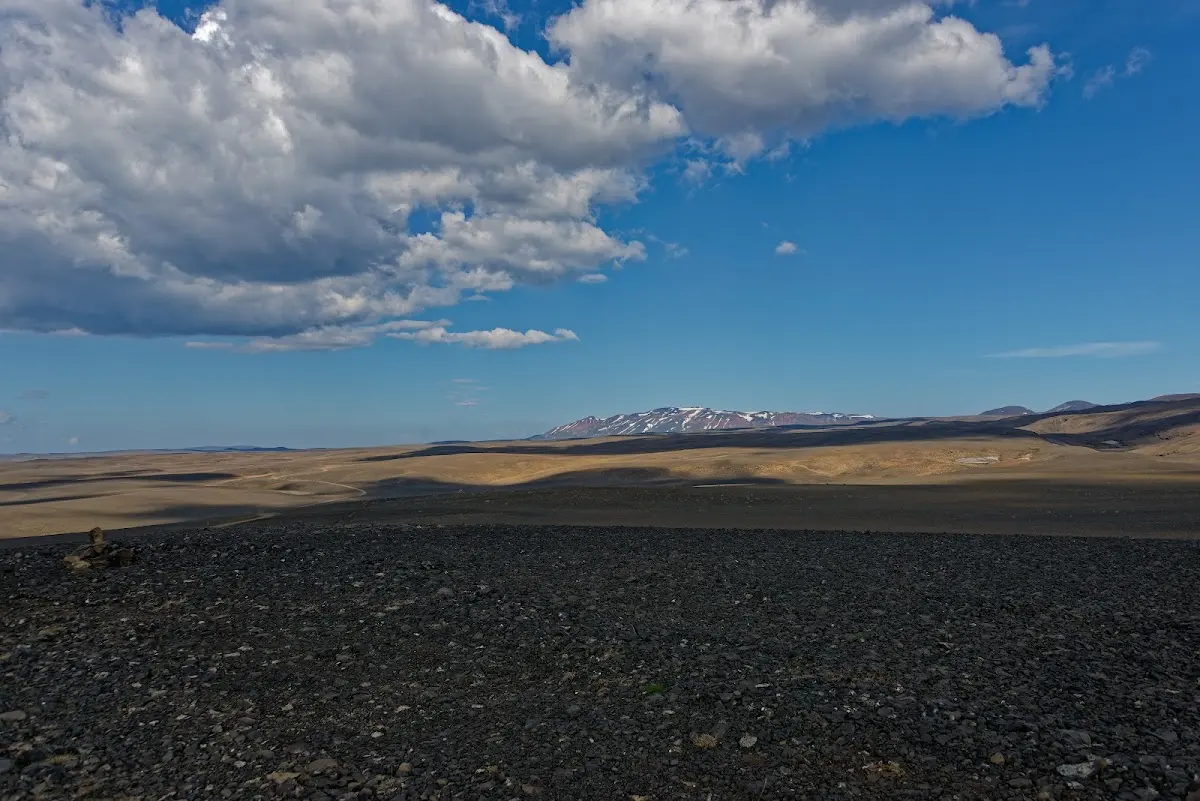
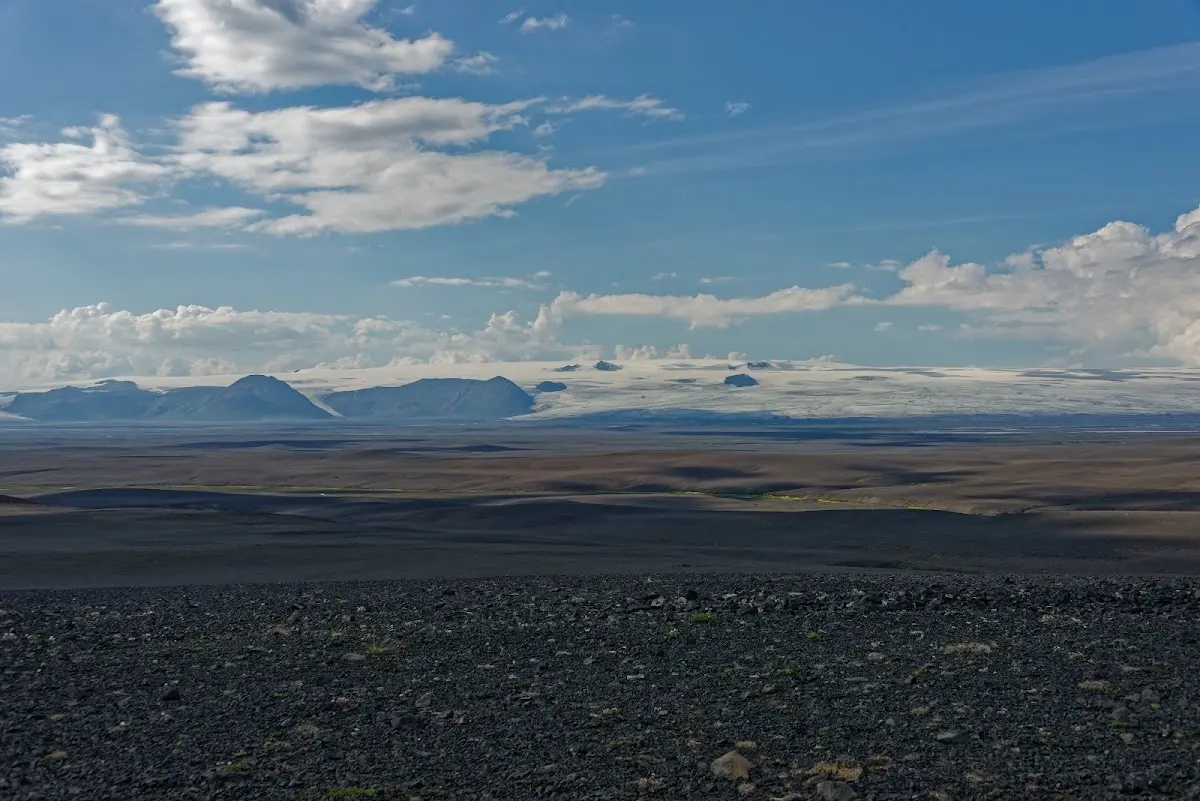
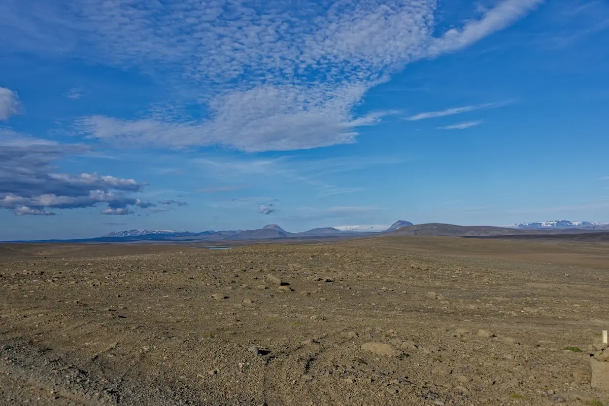
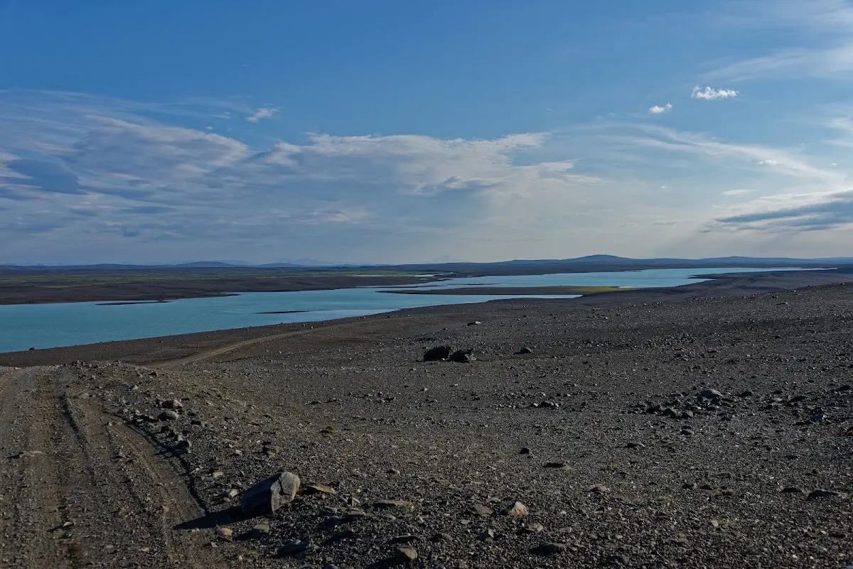
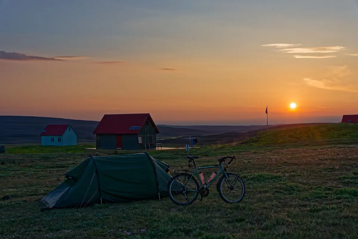
I pitched my tent near the hut Versalir, which unfortunately is no longer staffed and apparently completely abandoned.
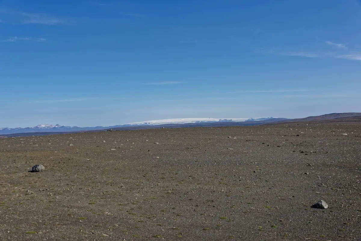
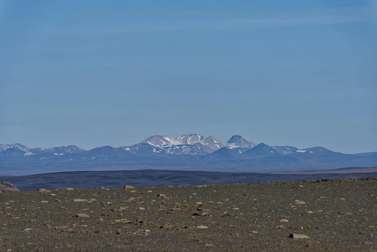
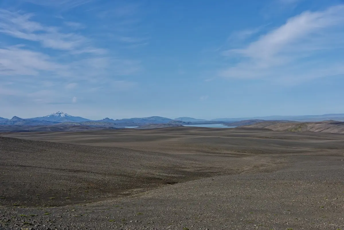
From Versalir it was still about 40 km the next morning to the turn-off to
11 Landmannalaugar
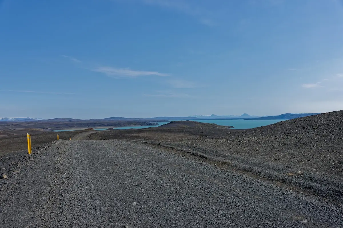
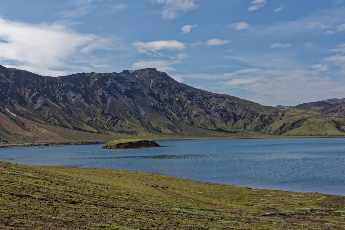
Coming from the north the rest of the track was at times downright unpleasant: the fine lava sand brakes enormously, and after a riding error I sometimes had to get off and “push out” for many metres with some effort until I had firmer ground under my tyres again.
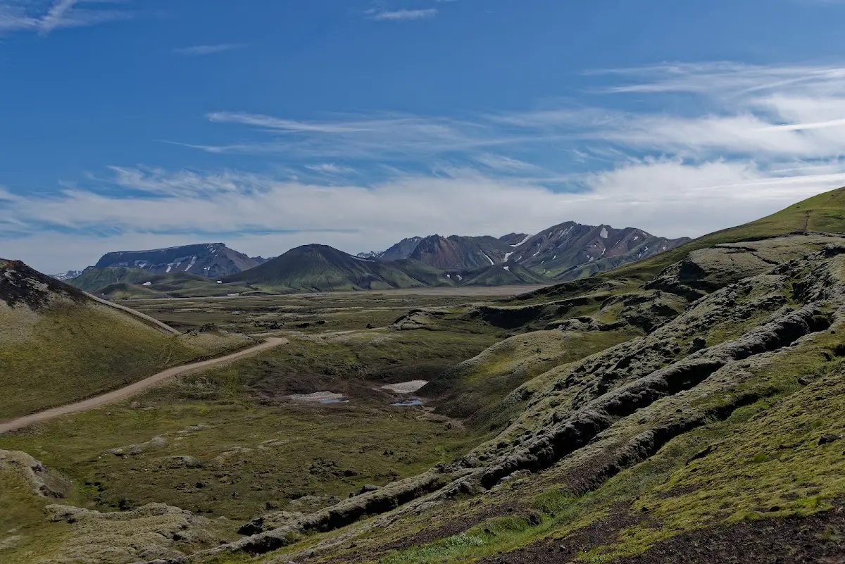
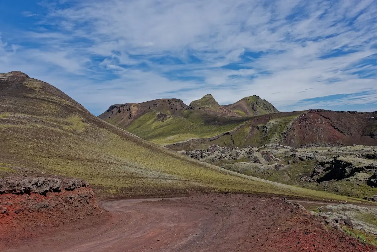
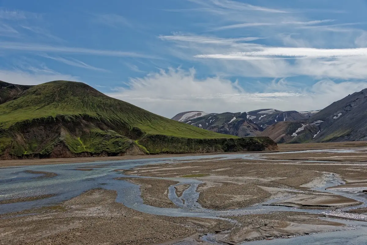
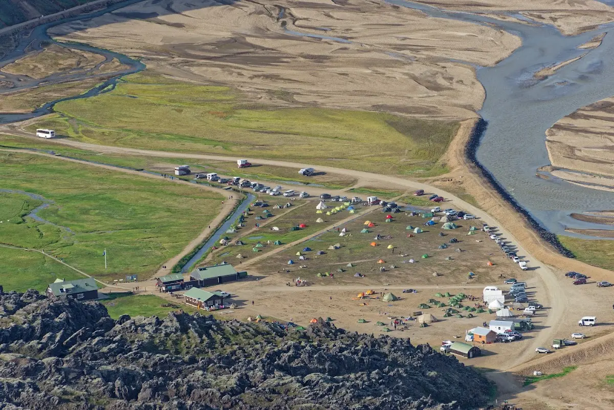
The campsite in Landmannalaugar was well visited, and many day tourists brought in by bus came on top of that.
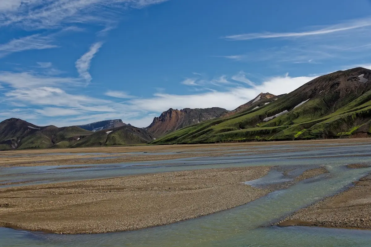
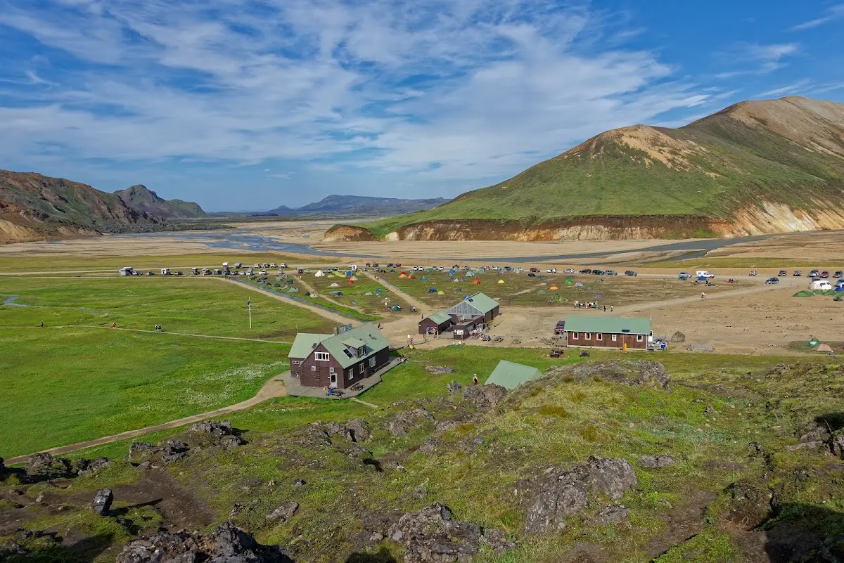
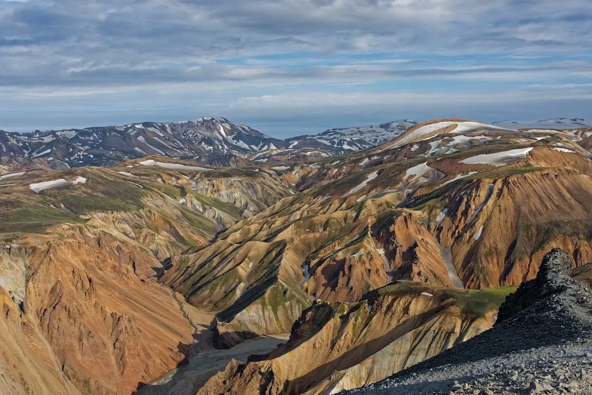
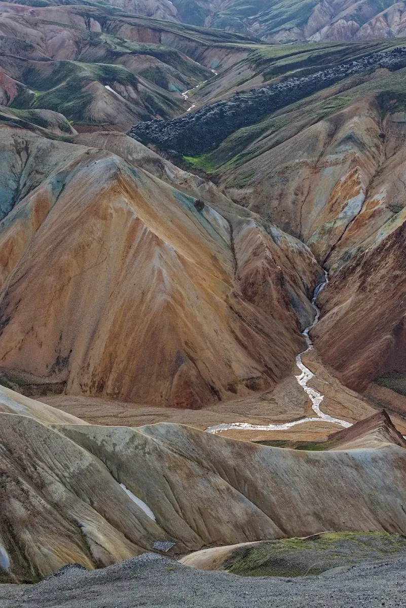
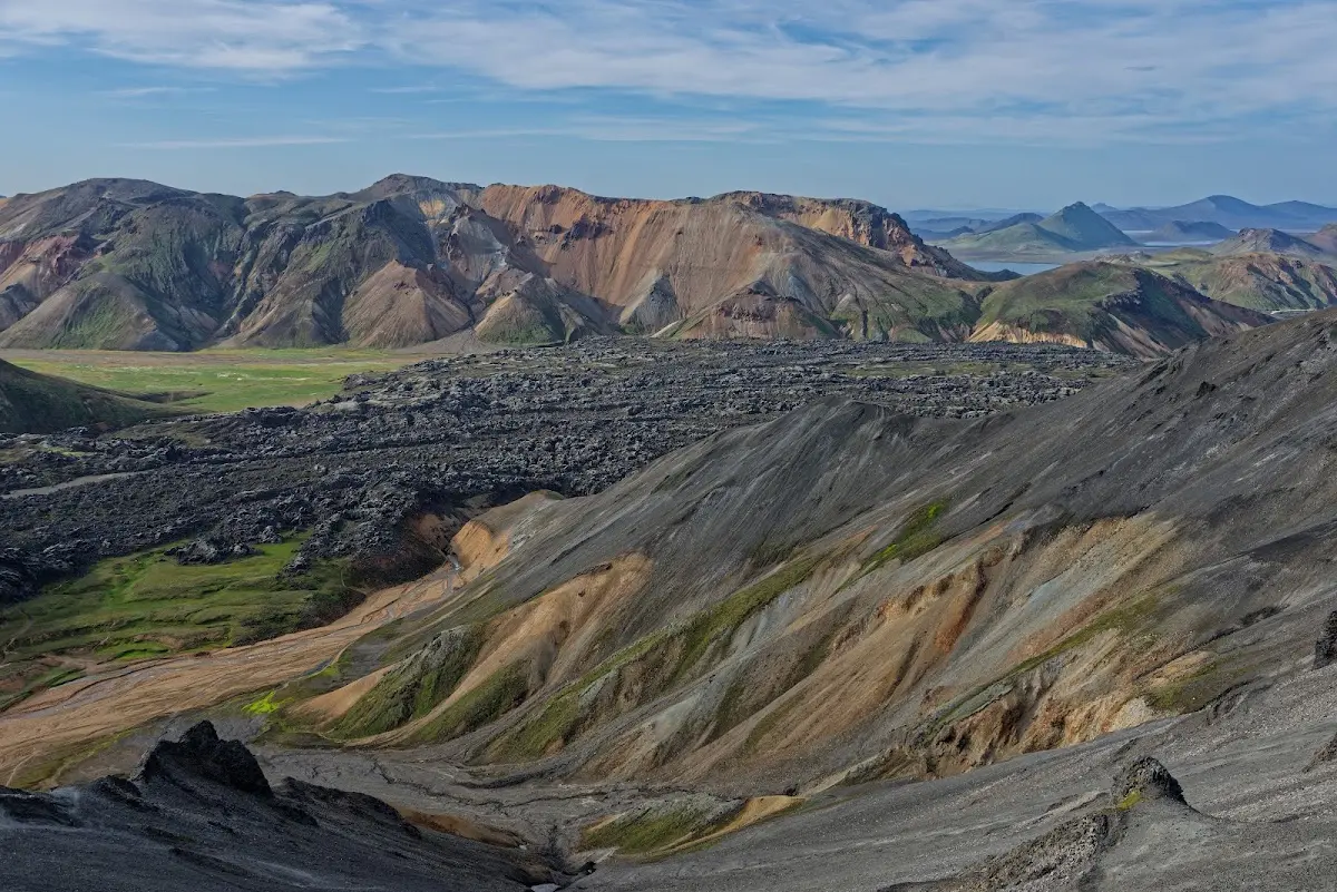
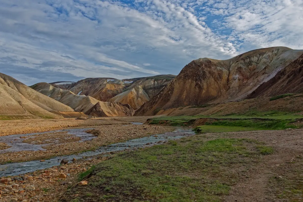
But it is also one of the most beautiful places in Iceland with many unusual colours; the nearby volcano Bláhnjúkur, which I climbed in the evening, consists of grey-blue pitchstone. The volcano Brennisteinsalda has reddish-brown slopes of rhyolite and quartz trachyte. In between you can see grey, bluish and white shades where there were sulphur and lime precipitations in places. Snow, green moss and the black glistening obsidian lava field Laugahraun are further touches of colour that I try to reproduce in the following pictures.
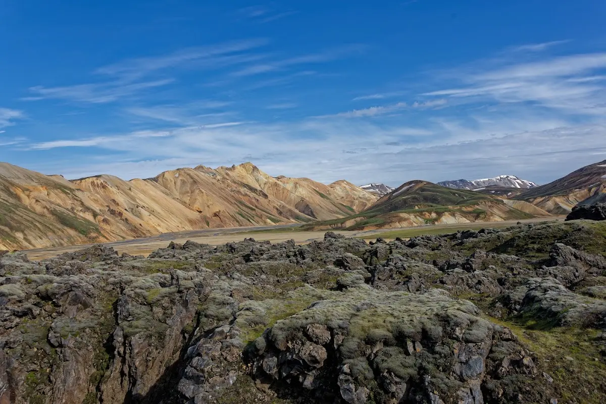
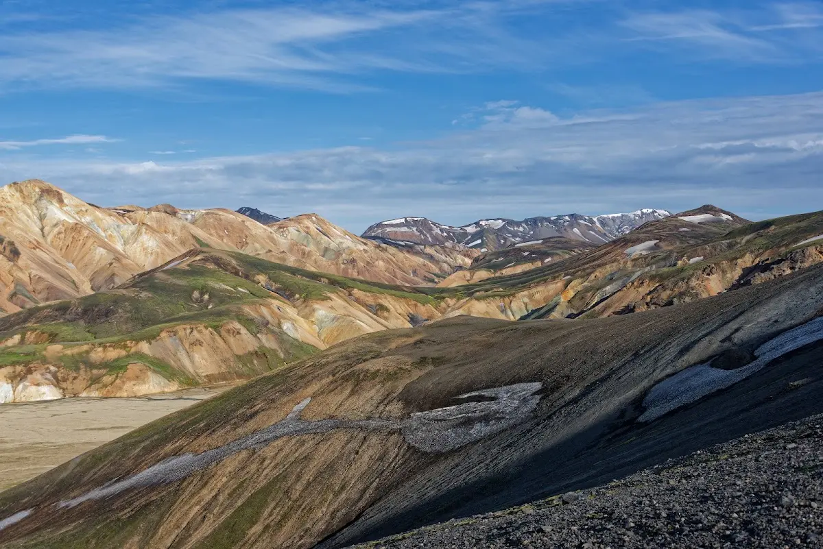
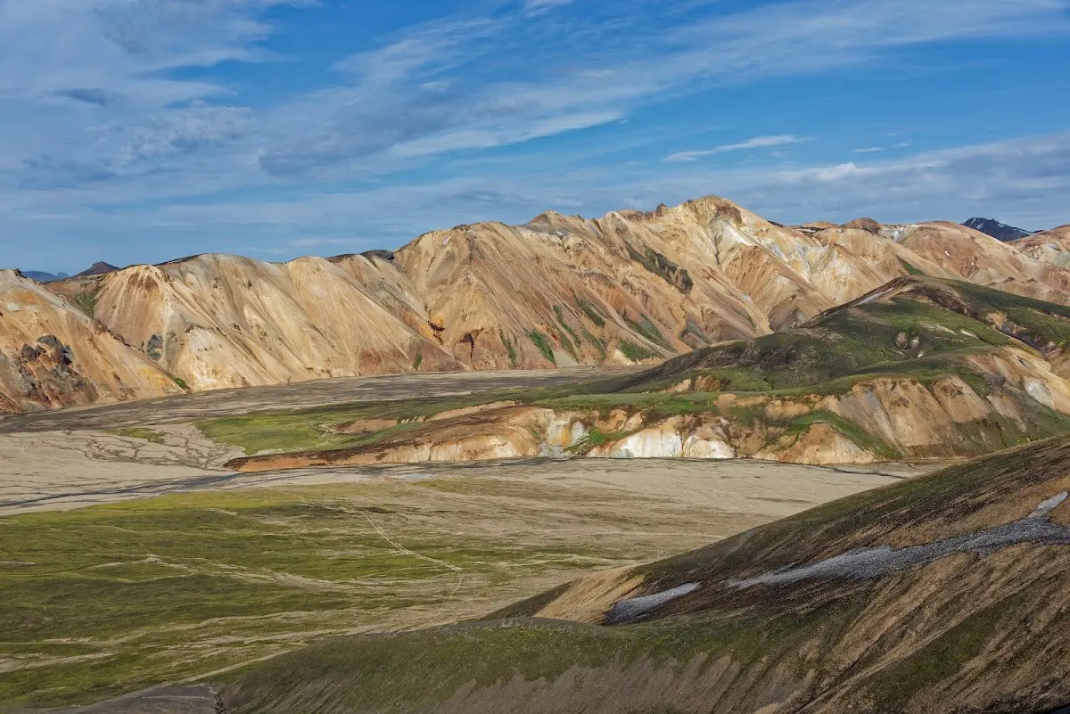
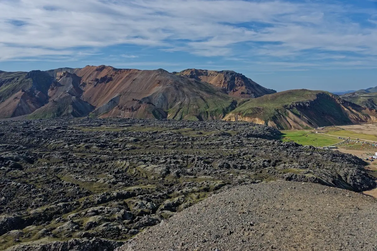
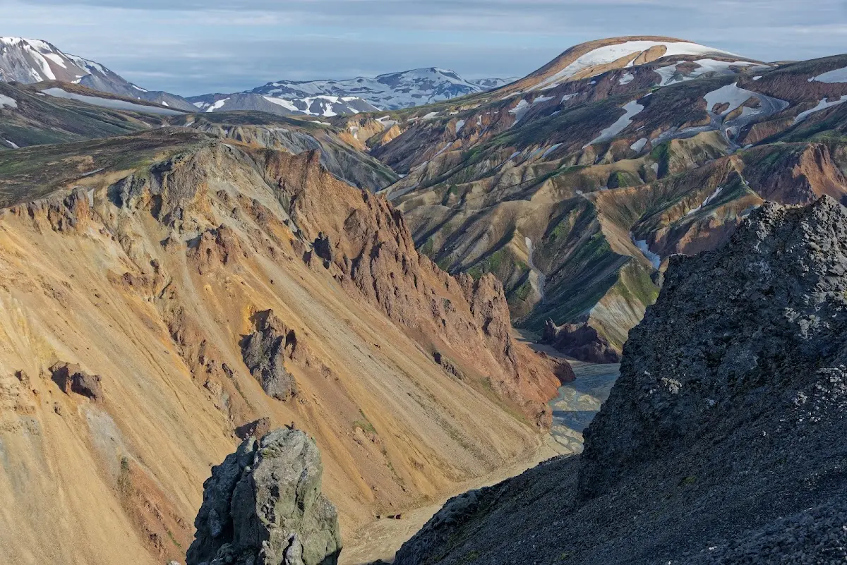
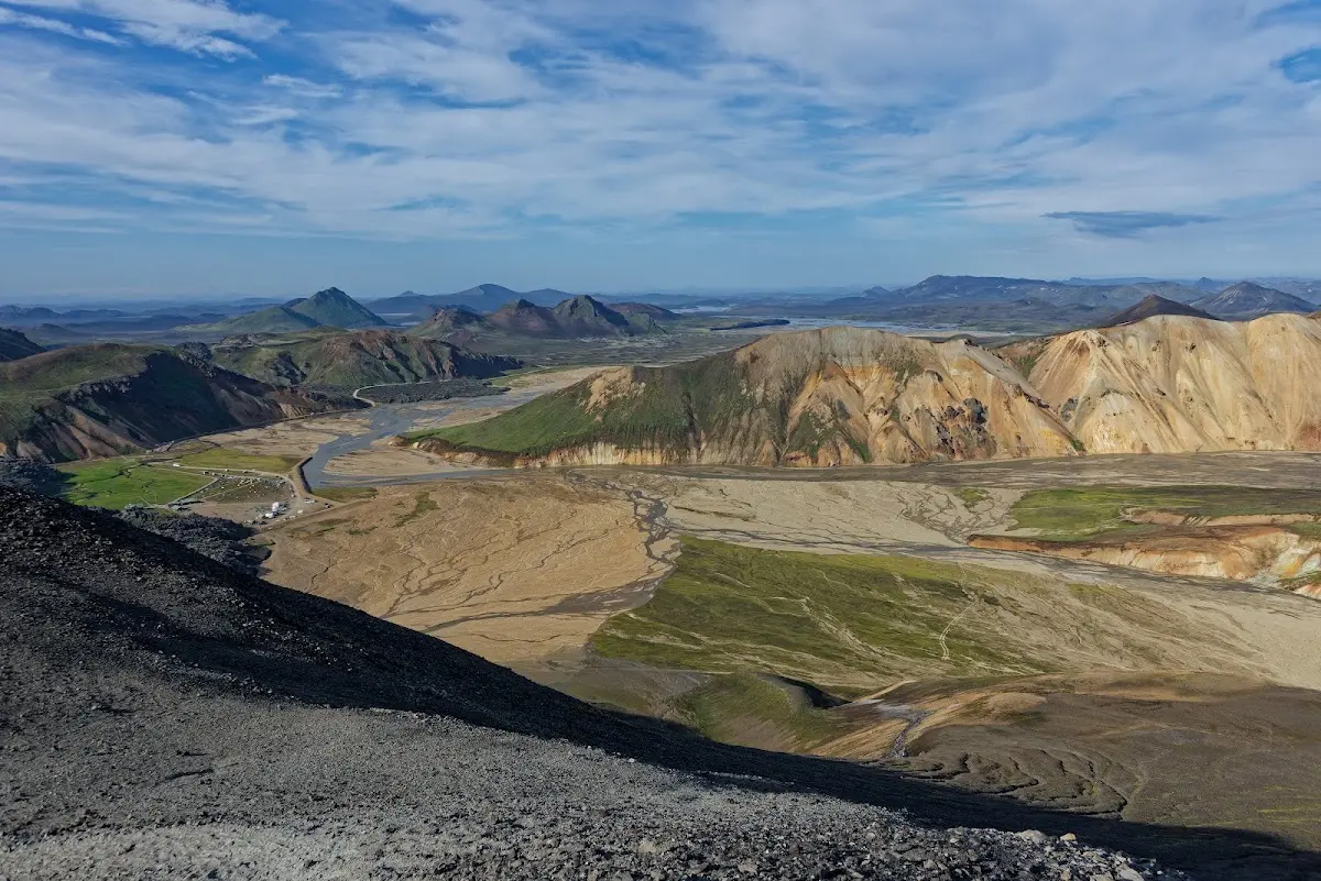
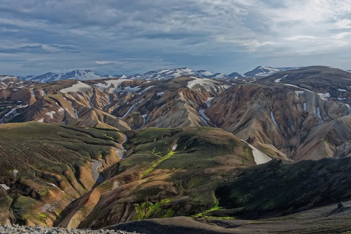
The picture below shows the campsite as seen from Bláhnjúkur, with the solidified lava field pushing in from the left.
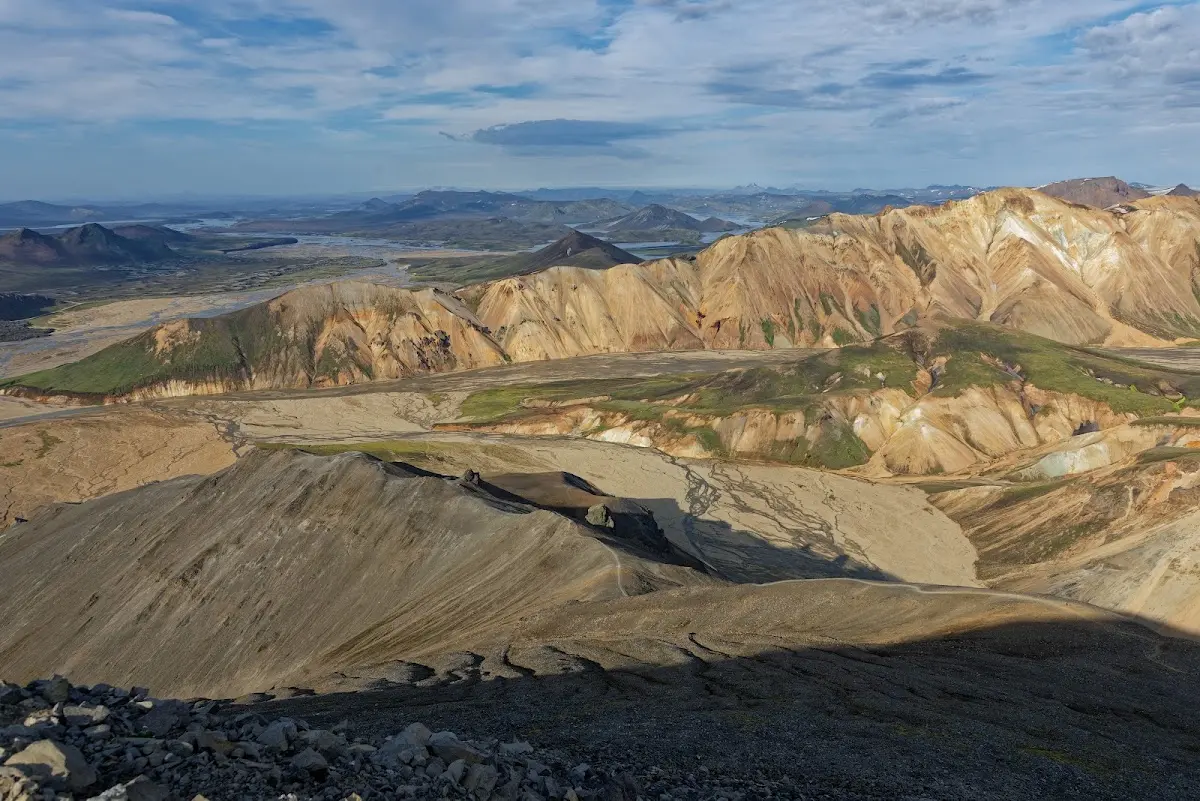
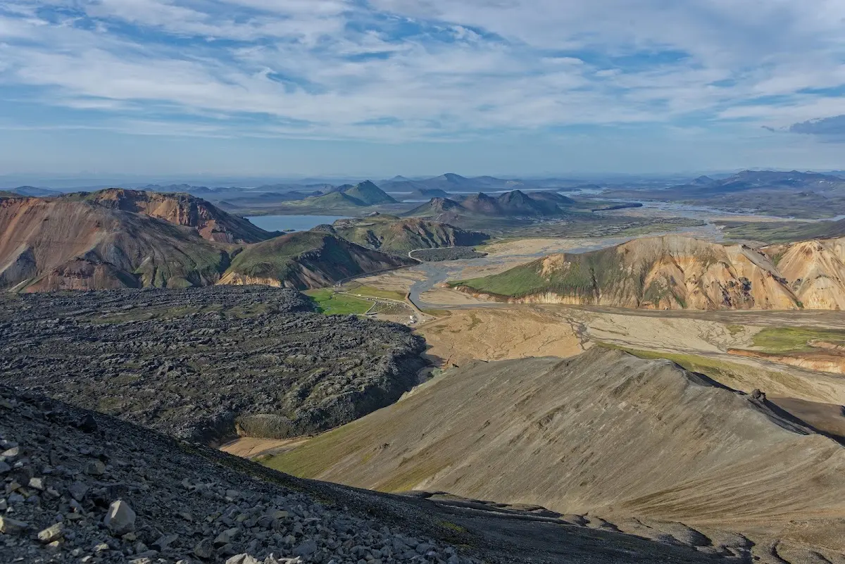
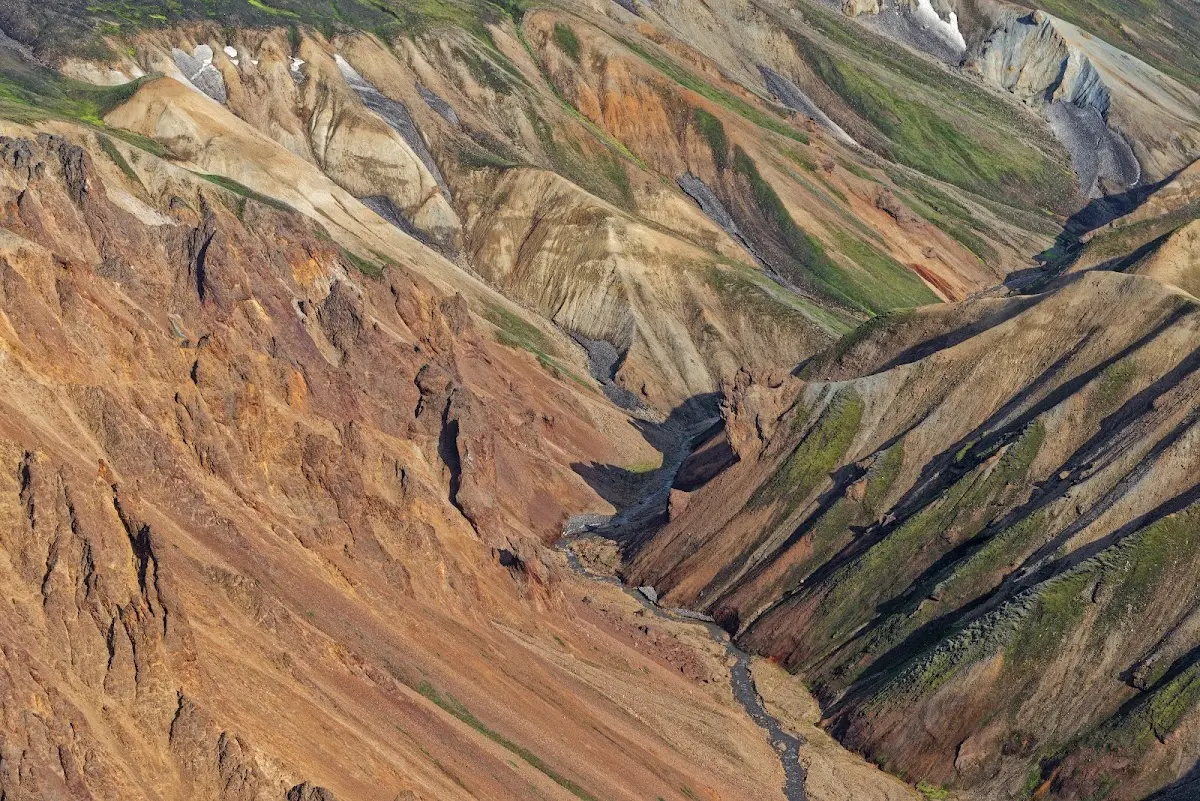
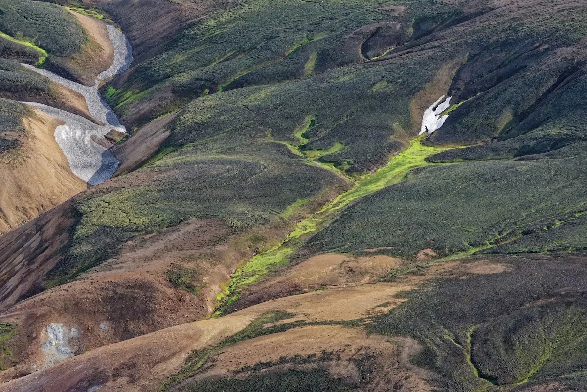
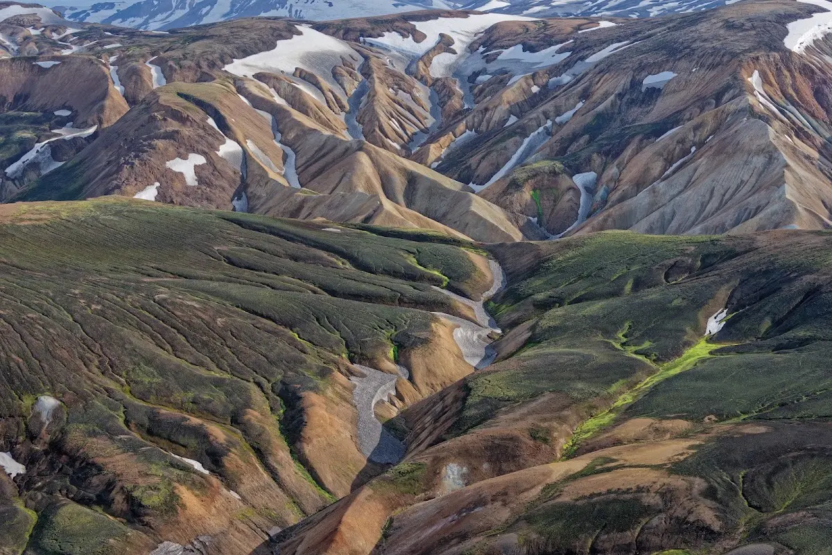
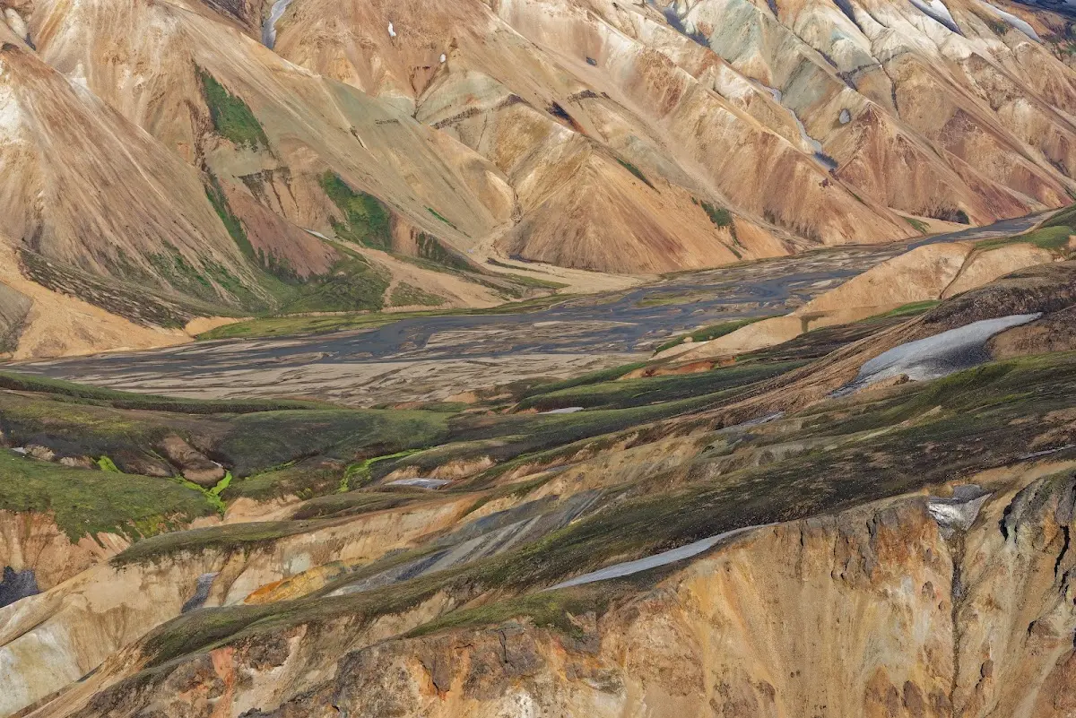
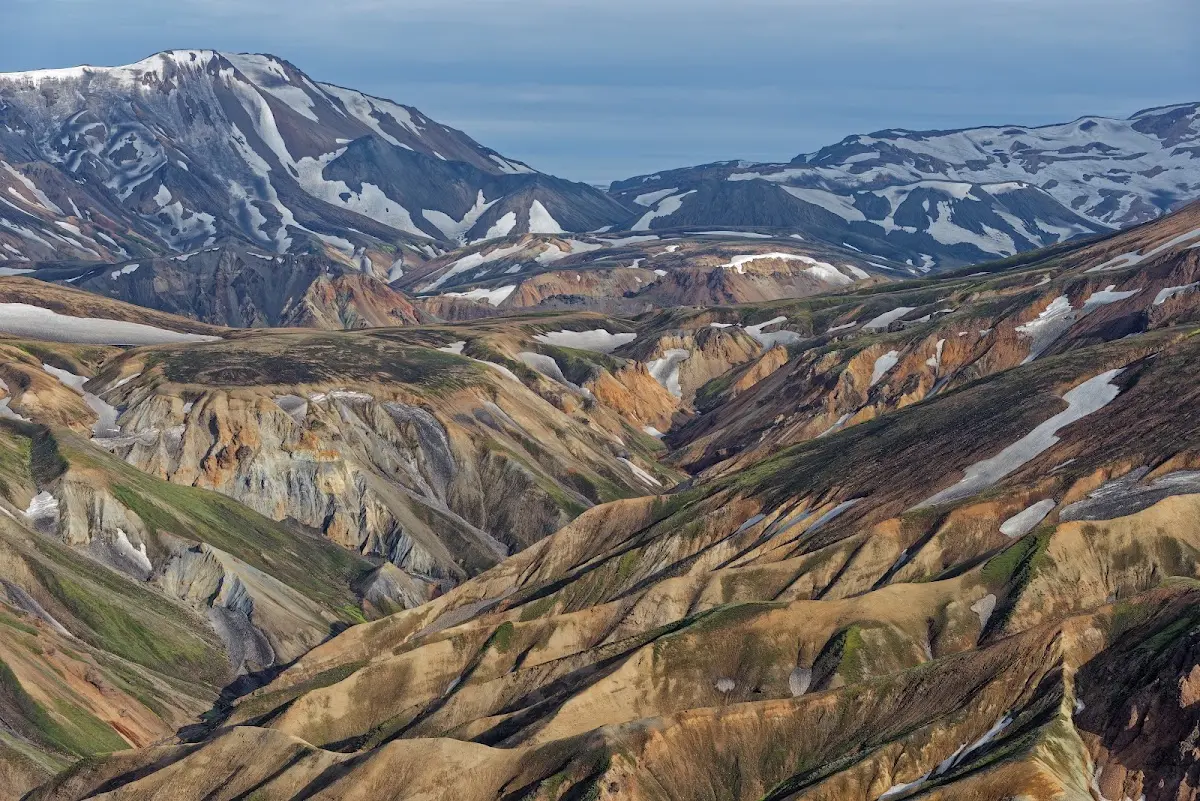
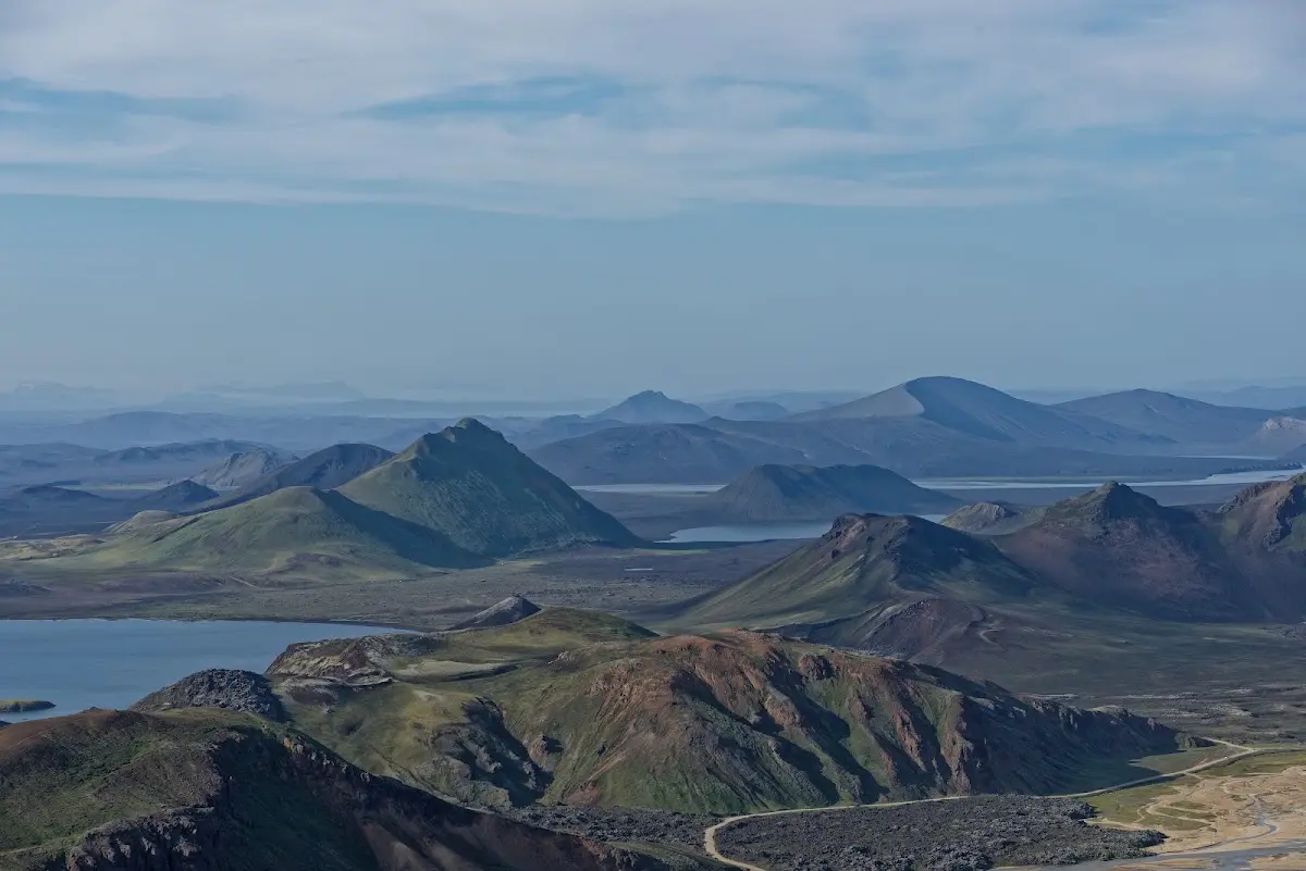
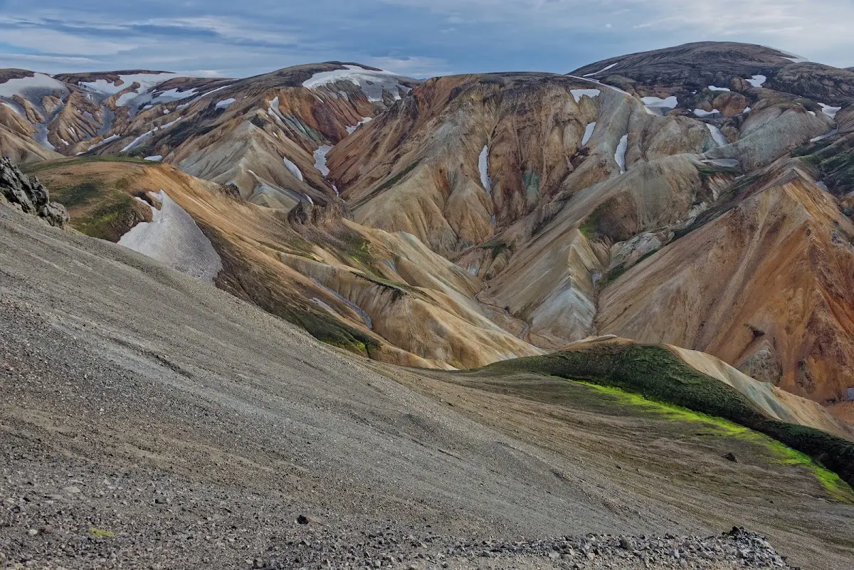
I then descended from Bláhnjúkur on a different route, came down again “behind” the lava field, and then went back to the starting point partly through the lava field and partly along a river that rushed towards the campsite between Bláhnjúkur and the lava field. A very refreshing and recommendable short hike. As it was already a bit later (the sun practically does not set in Iceland at this time of year) there were hardly any people out.
In the evening then a bath in the hot river, also an experience.
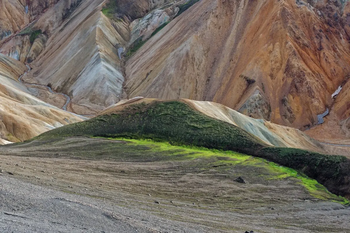
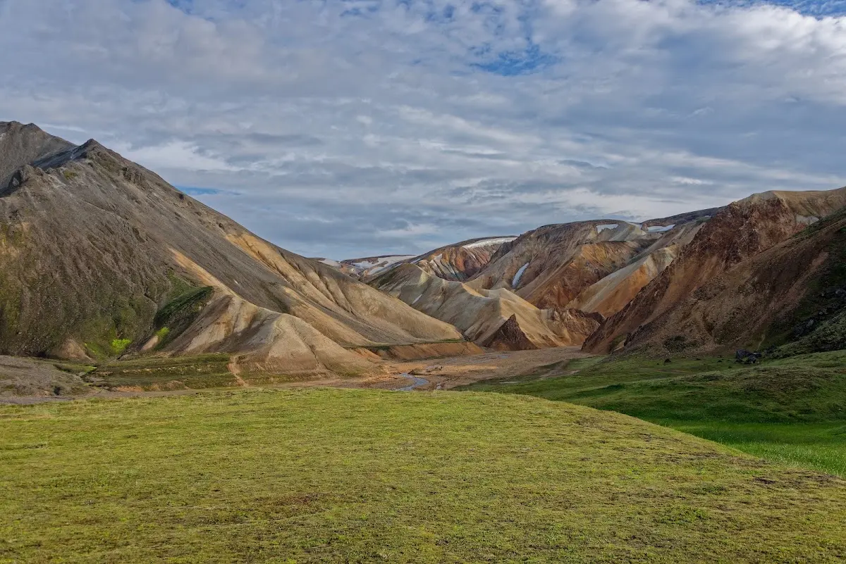
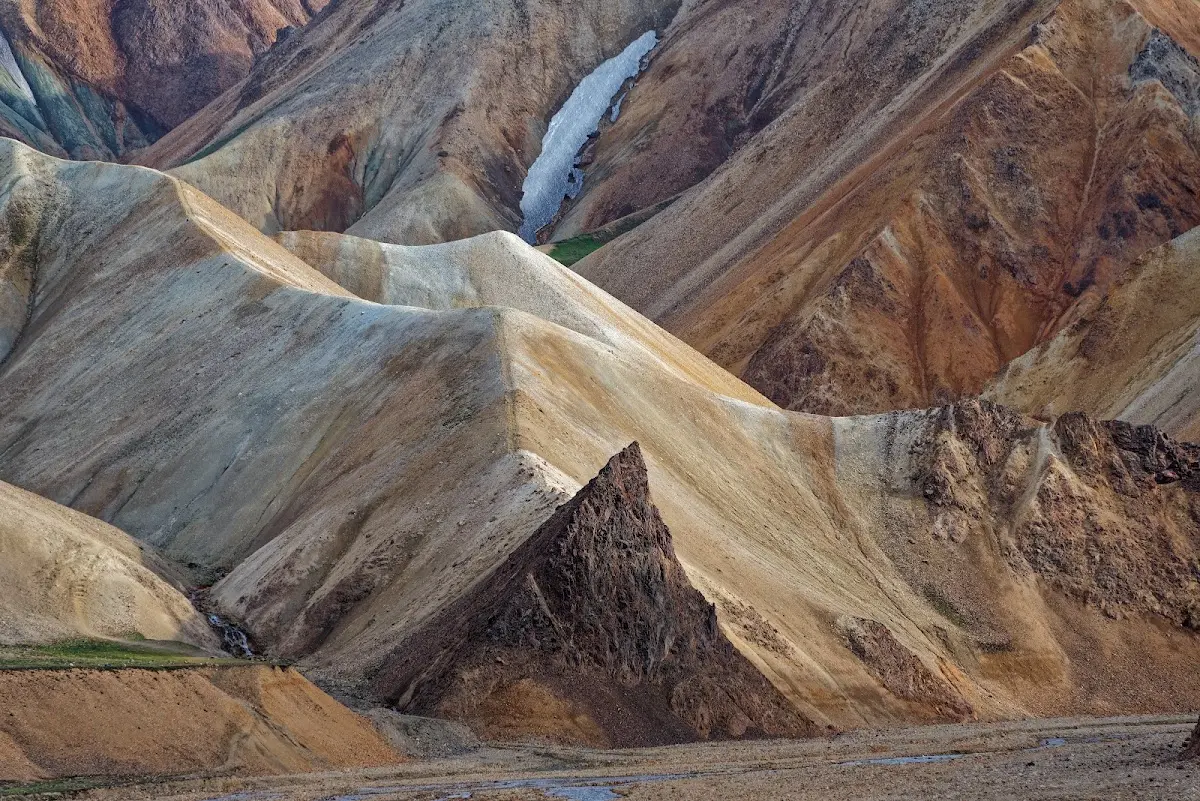
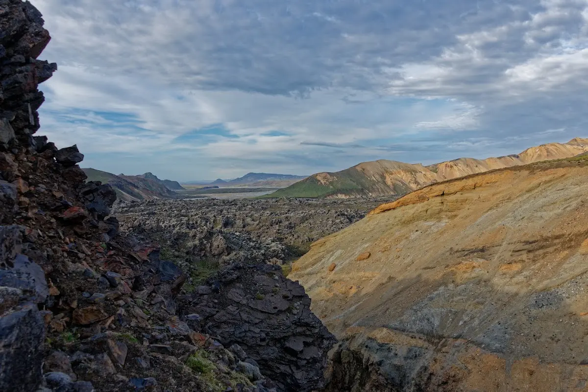
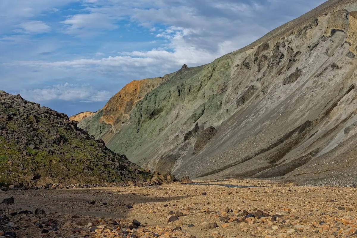
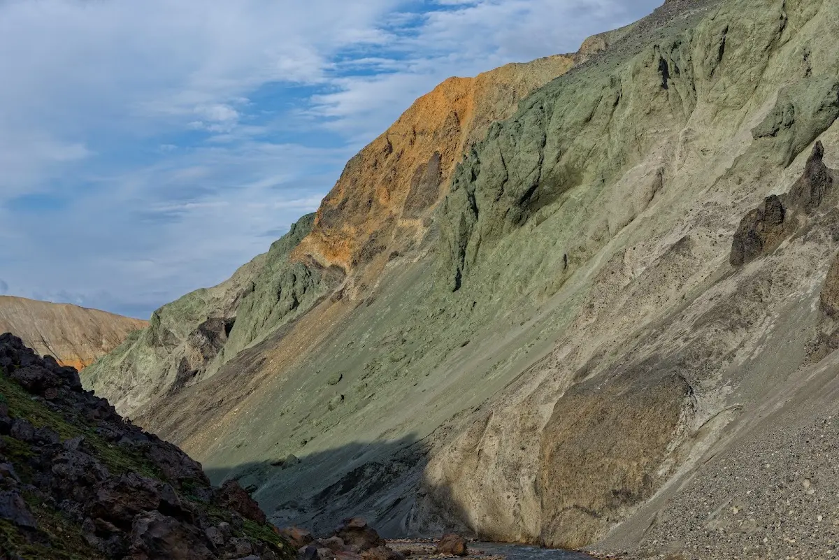
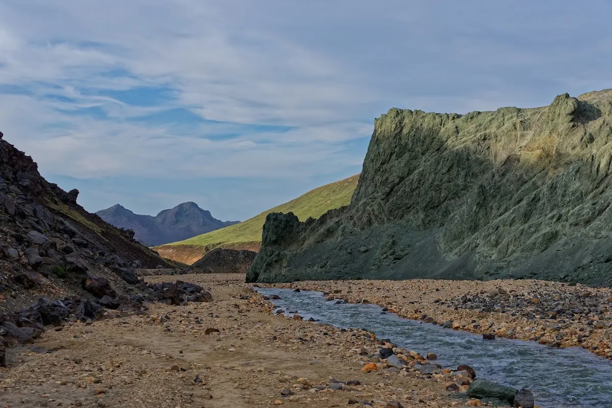
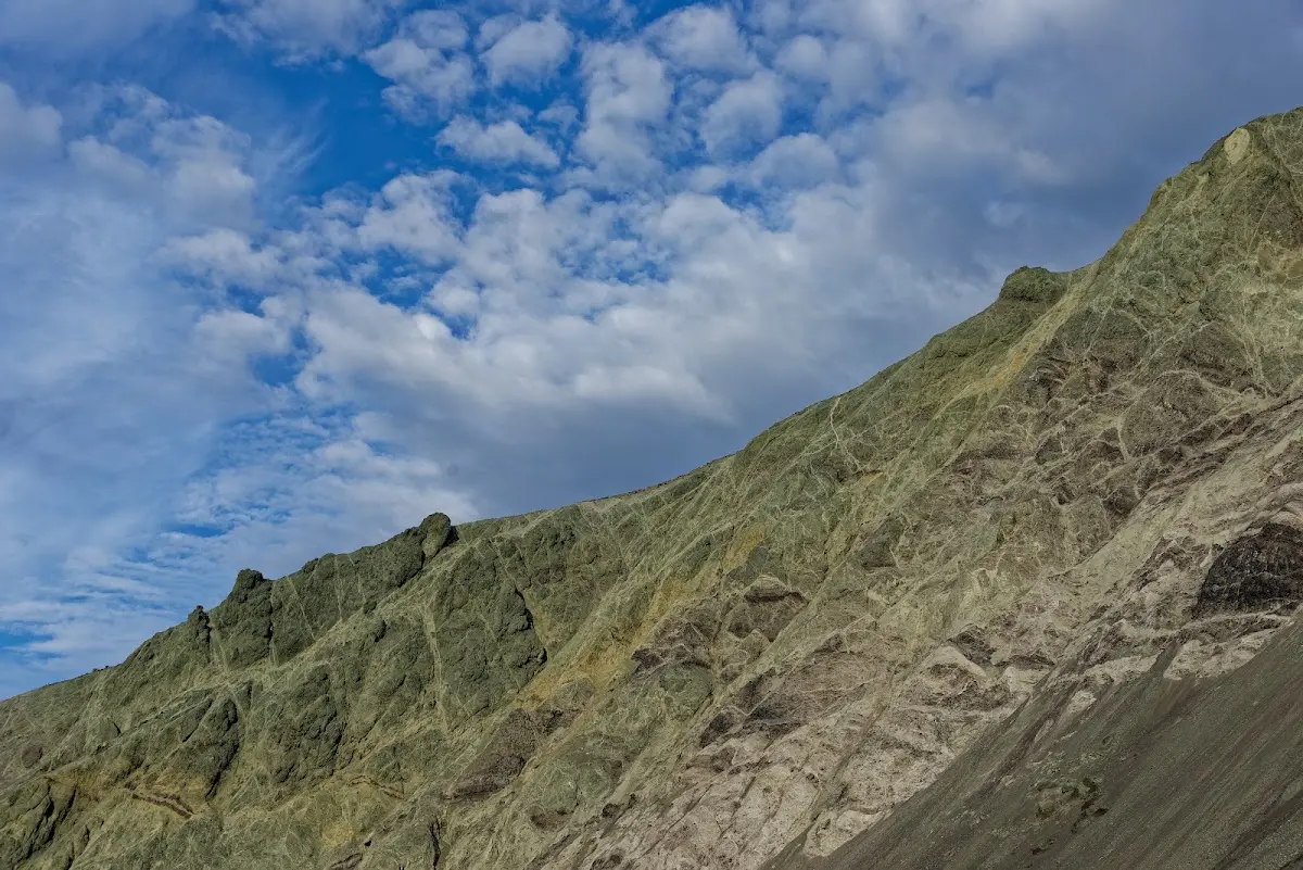
The next morning also the best weather, and I left the highlands to the west on a very beautiful track and stayed overnight in Flúðir, where I stocked up on fresh food.
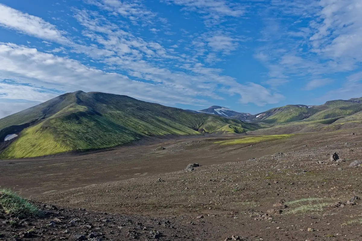
Those were my impressions of the highland track Sprengisandur and my excursion to Landmannalaugar. So I am back in “civilisation” for an evening before, in part 3 of the trip report, I visit the very photogenic Gullfoss and return to the north of Iceland on the highland track Kjalvegur...