Iceland by Bike 2013 - Part 3
Deutsch | English
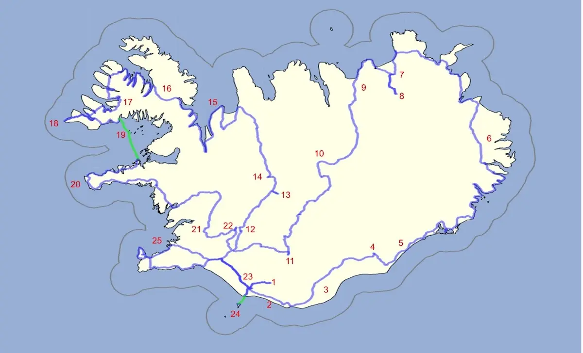
1 Þórsmörk hiking area 2 Between Skógafoss and Vik 3 Mýrdalssandur and other sandur plains 4 Skaftafell and Svartifoss 5 Jökulsárlón 6 The East Fjords and the northeast of Iceland 7 Asbyrgi and 8 Dettifoss 9 Husavik | 10 Highland track Sprengisandur 11 Landmannalaugar 12 Gullfoss 13 Kerlingarfjöll 14 Hveravellir 15 Vatnsnes peninsula 16 The Westfjords 17 Dynjandi waterfall | 18 Látrabjarg 19 Flatey 20 Snæfellsnes 21 Þingvellir 22 Geysir 23 Seljalandsfoss 24 Vestmannaeyjar 25 Reykjavík |
12 Gullfoss
The Sprengisandur track lay just behind me, but the weather was so good that it urged me on, and so I left Flúðir shortly after 6, the morning fog soon lifted
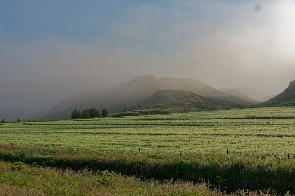
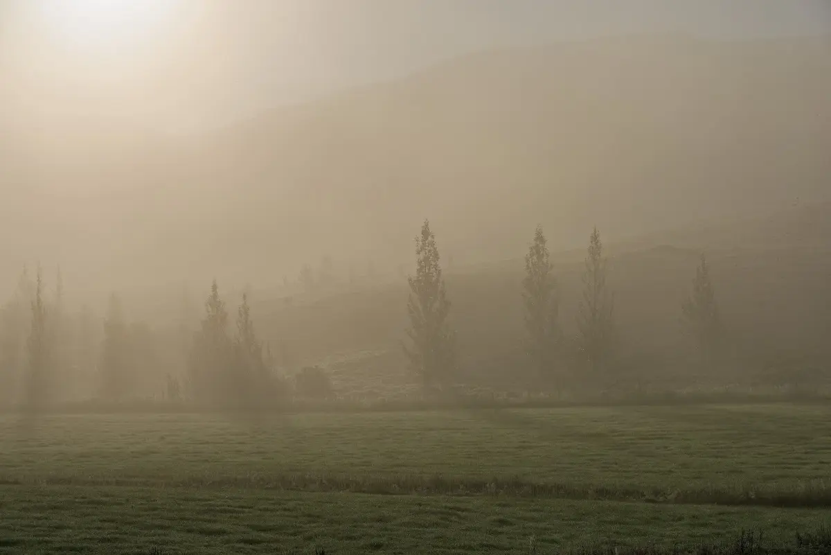
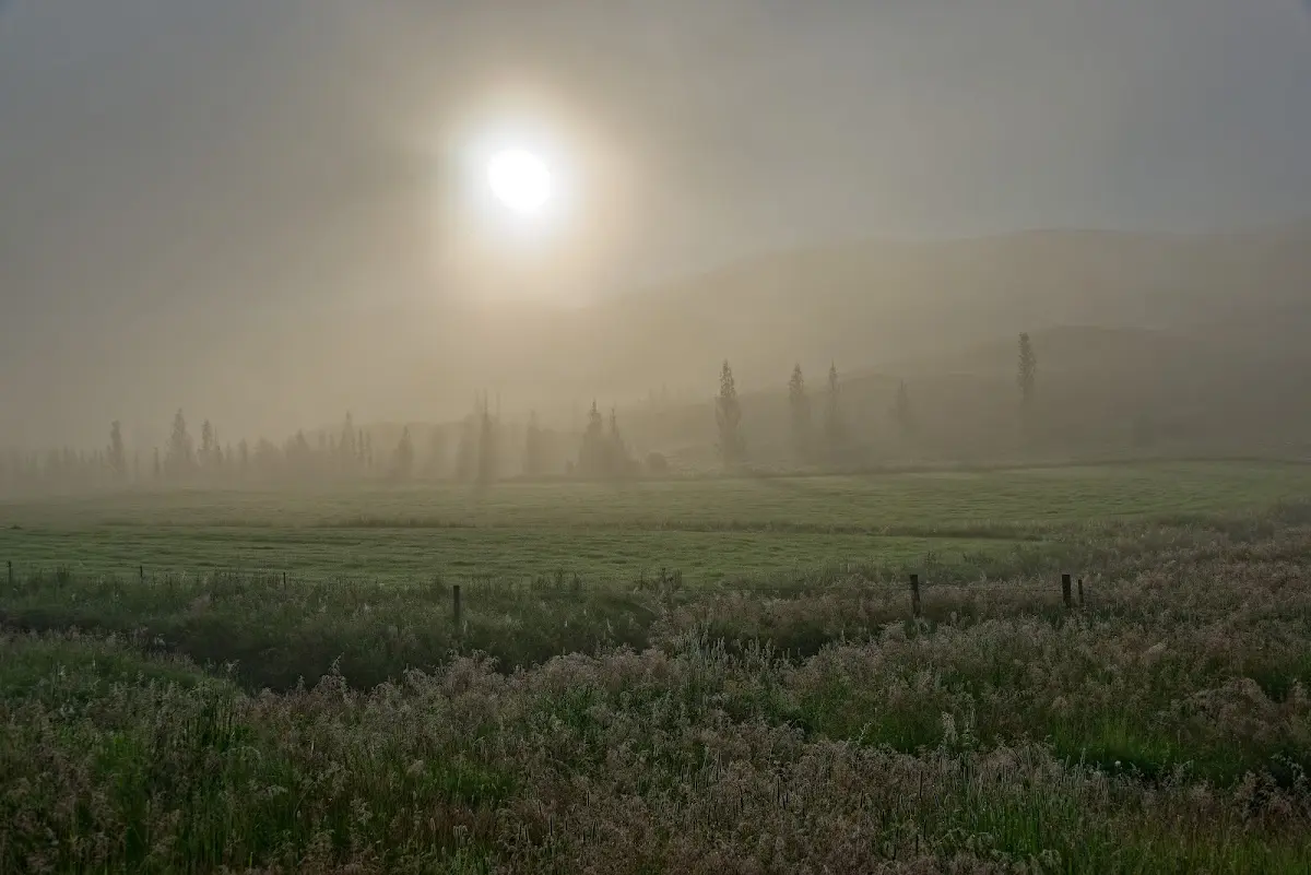
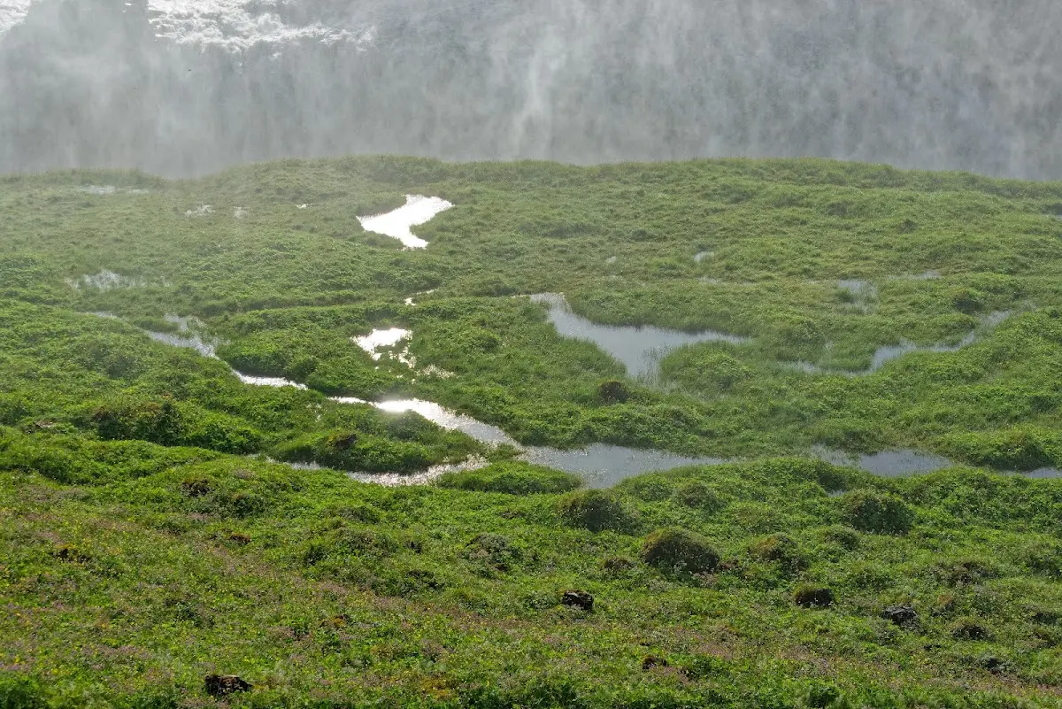
and the waterfall Gullfoss presented itself at its best, with the morning sun still low. Together with Þingvellir and the neighbouring geysers it is part of the so-called “Gullni hringurinn”, the “Golden Circle”, one of the main tourist attractions of Iceland, which can all be ticked off from Reykjavík by bus within one day. Fortunately no buses had arrived yet so early in the morning.
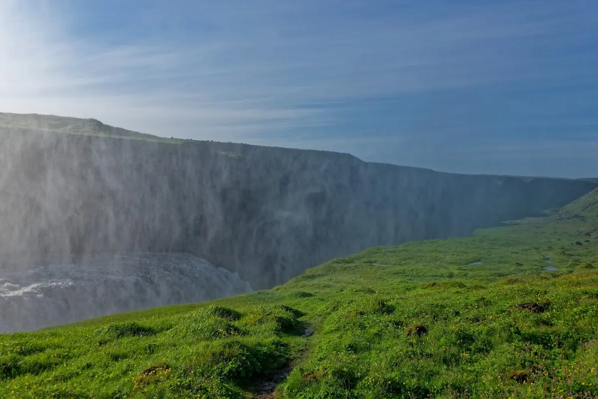
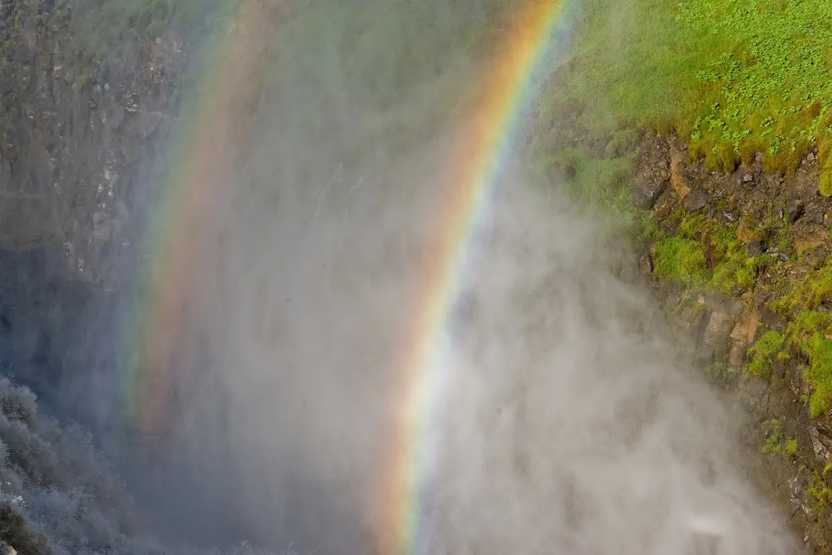
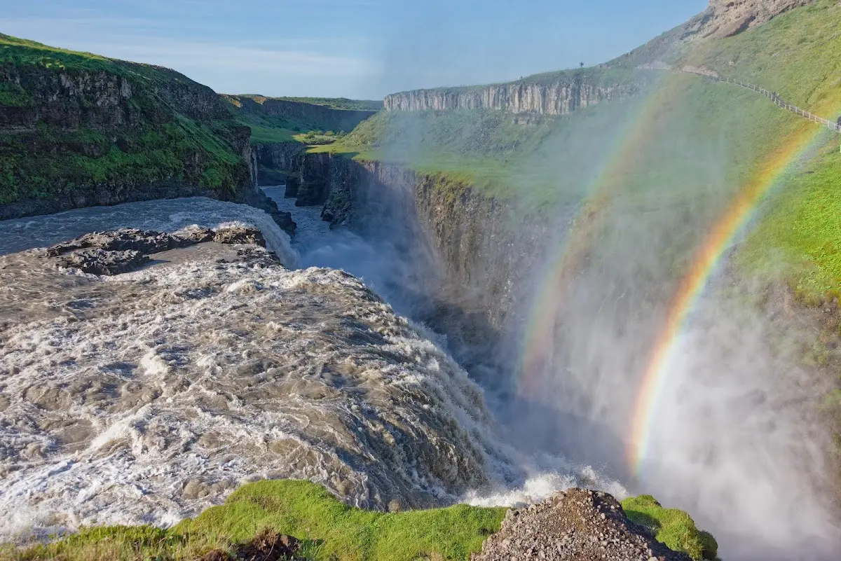
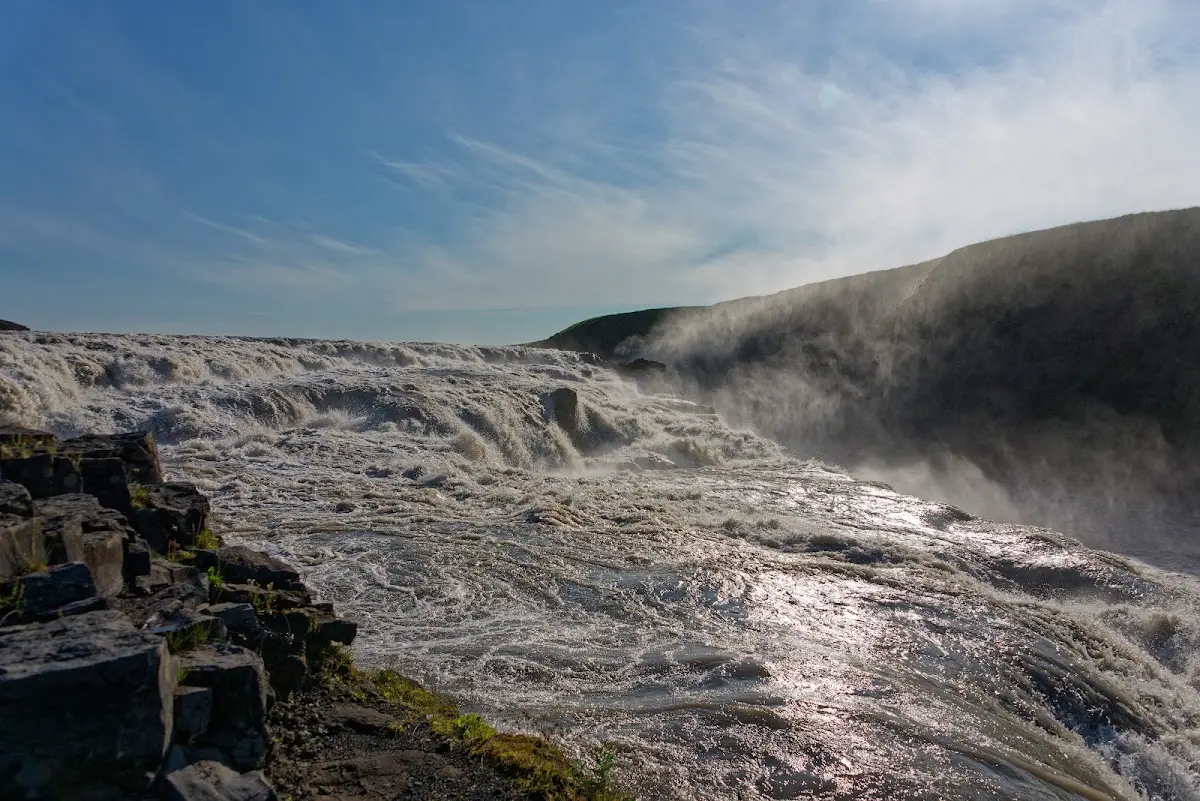
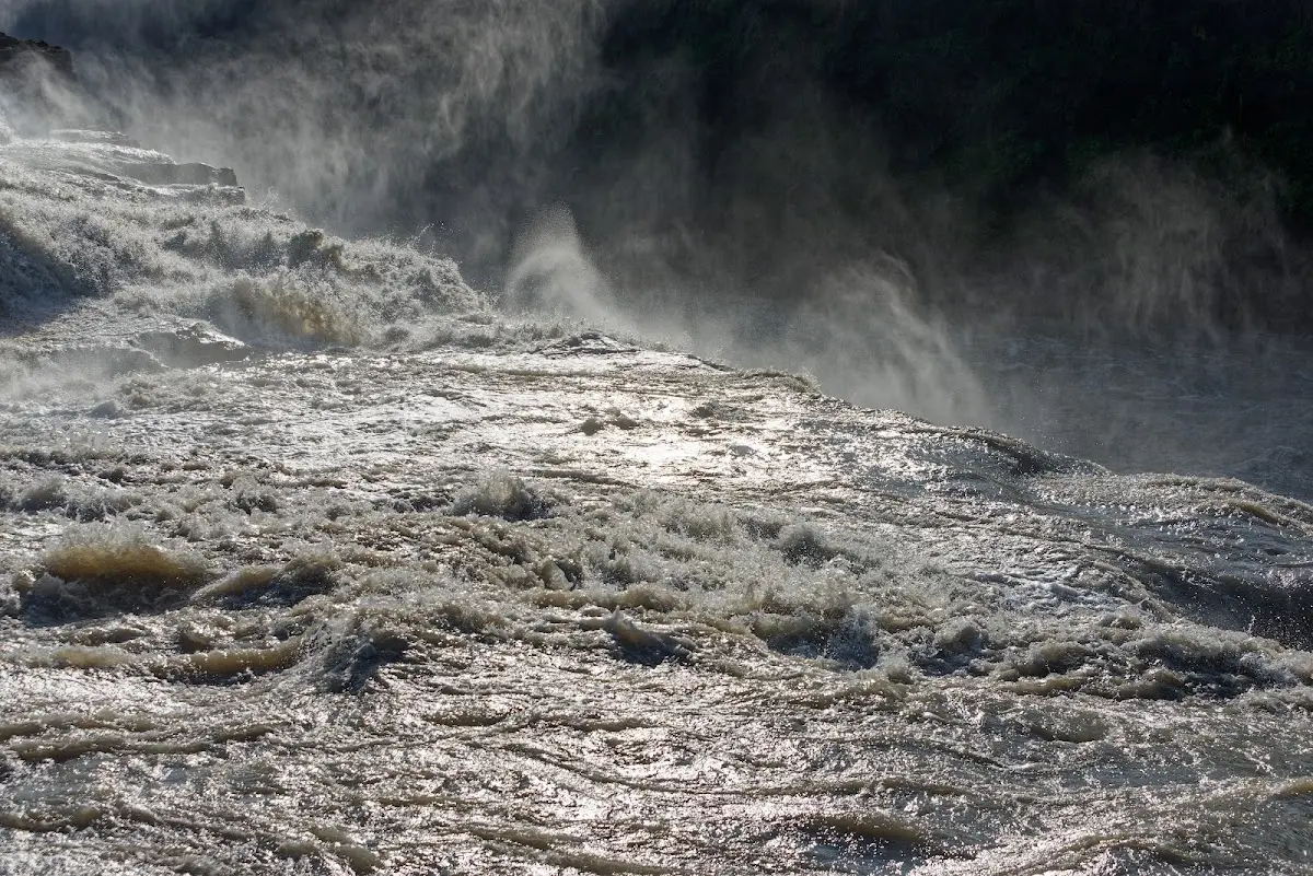
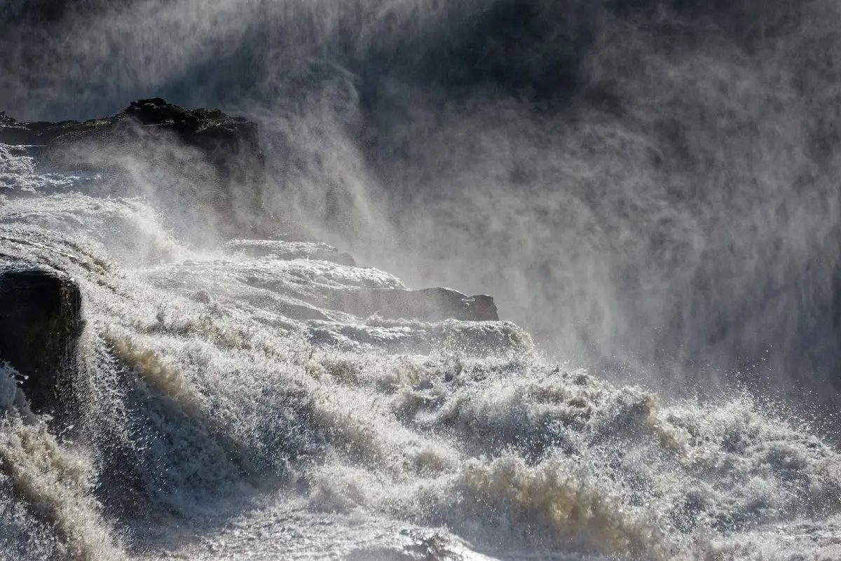
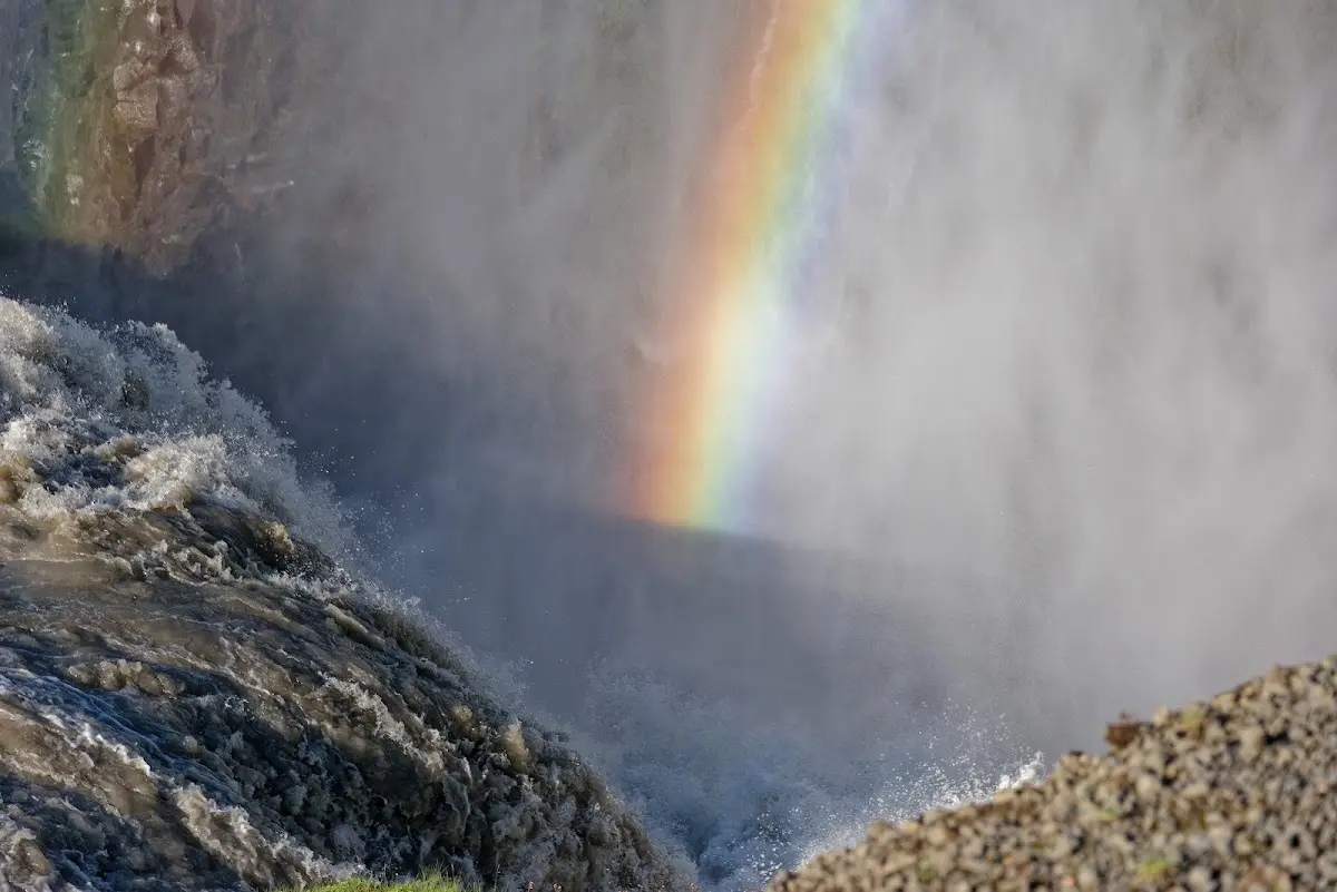
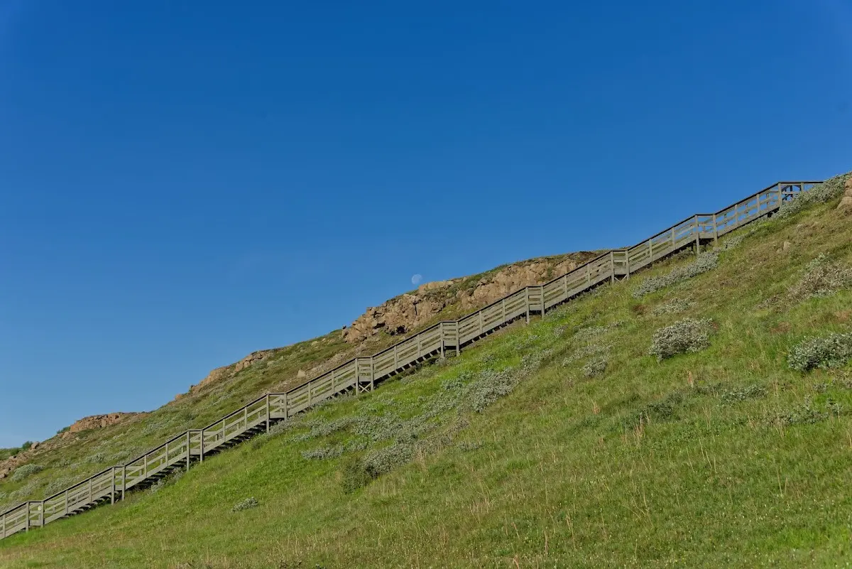
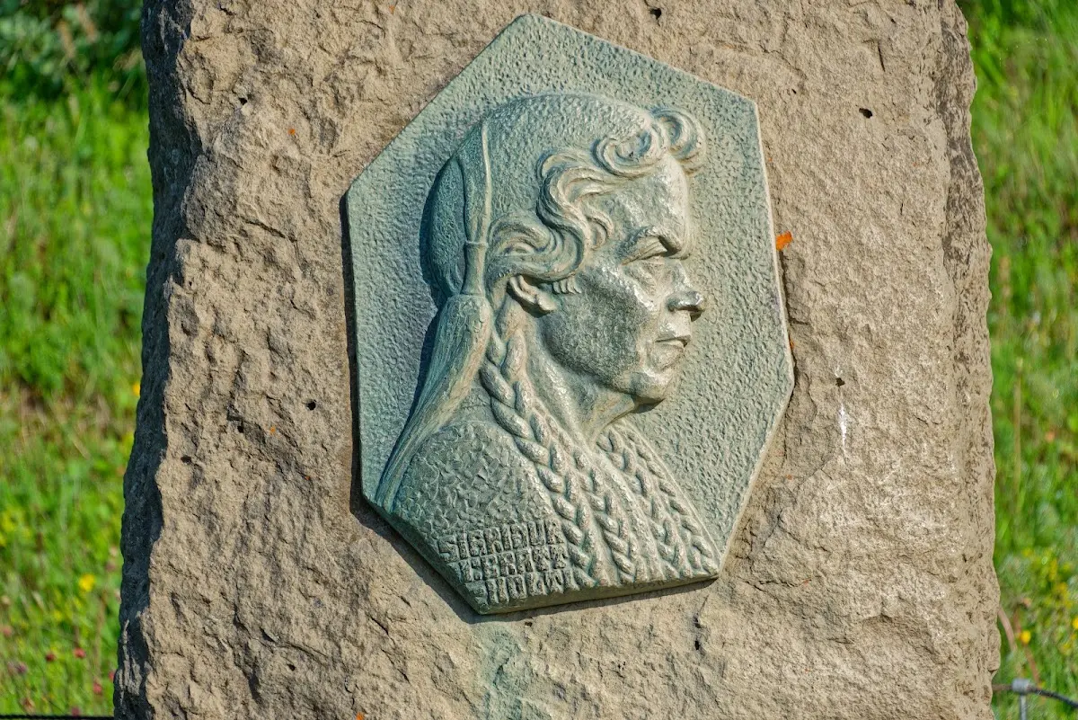
The plaque commemorates Sigríður Tómasdóttir, who (together with the lawyer and later President of Iceland Sveinn Björnsson) campaigned so that around 1920 an English investor did not build a dam and power station there, but the waterfall became Icelandic state property. Since 1979 Gullfoss has been under nature protection.
13 Kerlingarfjöll
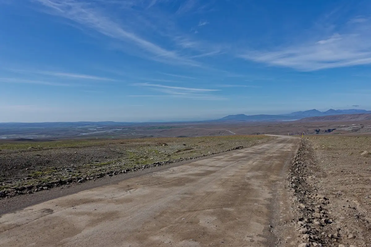
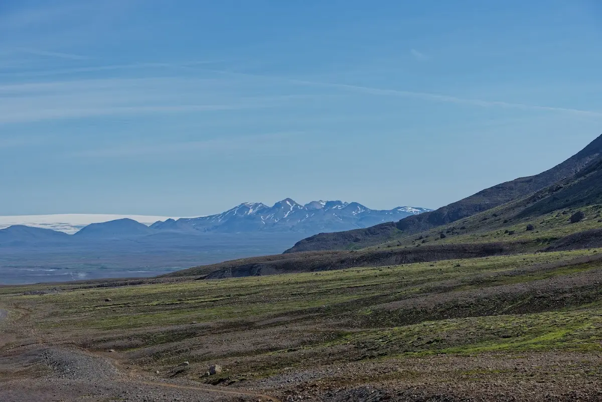
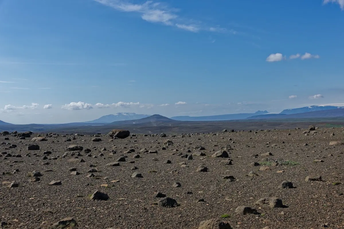
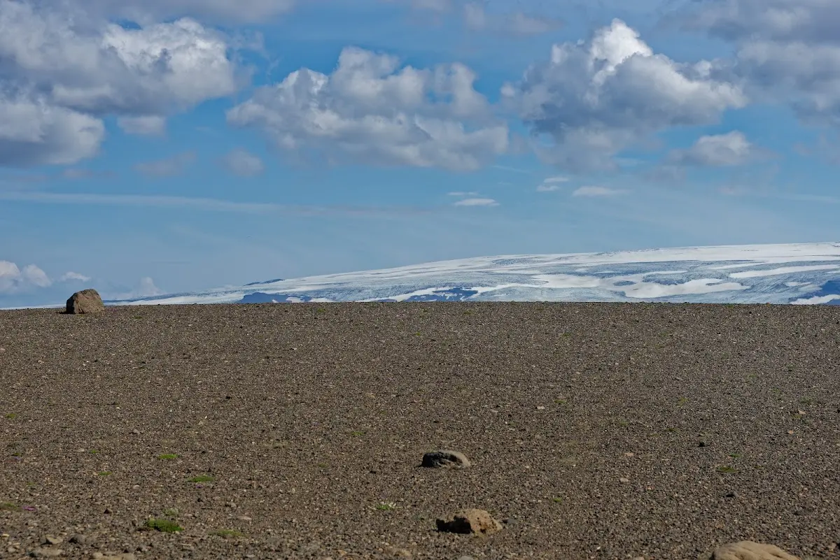
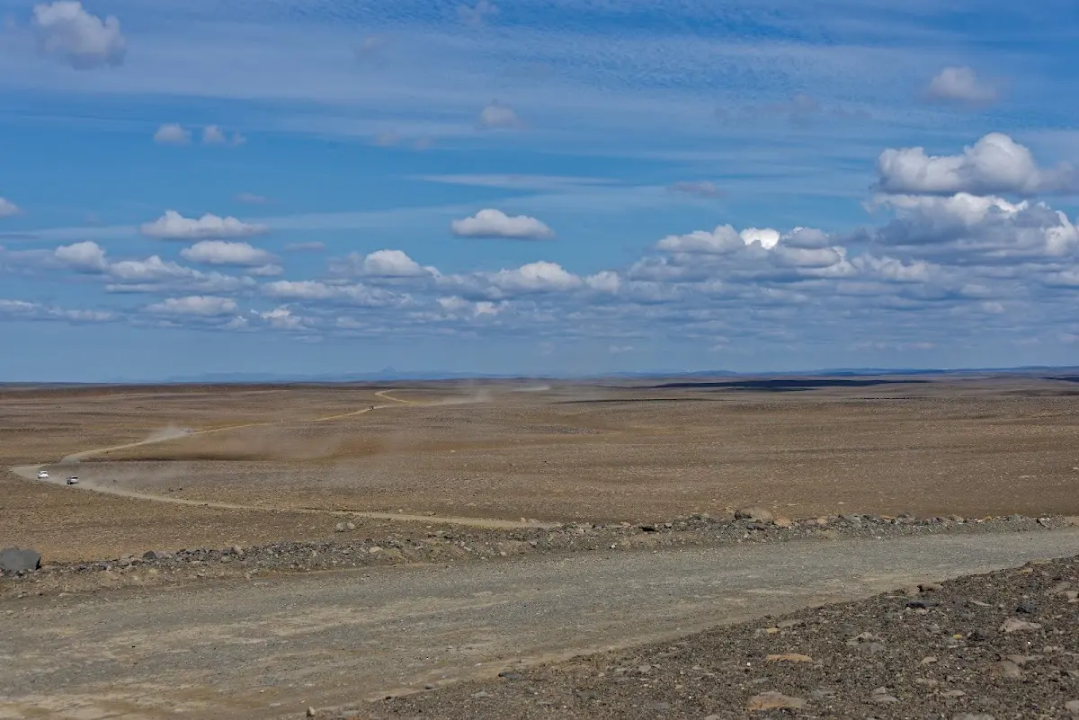
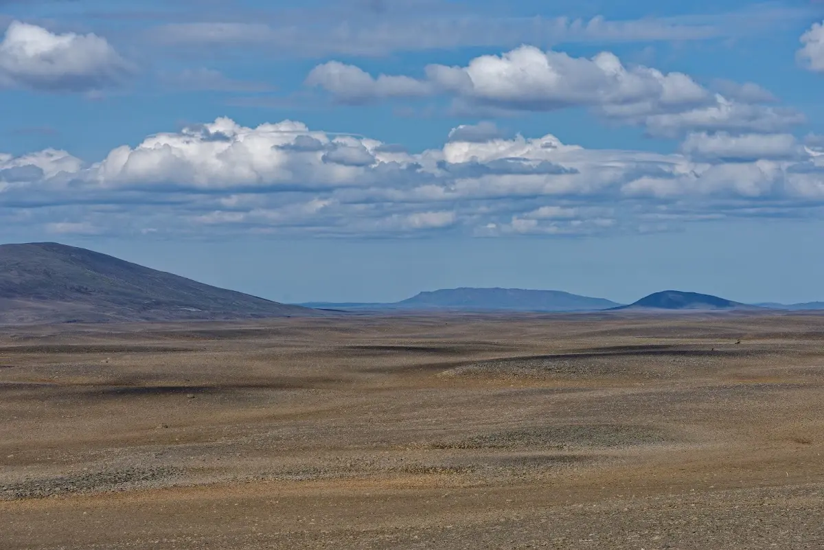
The following pictures are not yet Kerlingarfjöll, but show the highland track Kjölur, also called Kjalvegur, which begins just behind the waterfall Gullfoss and took me north between the glaciers Langjökull and Hofsjökull.
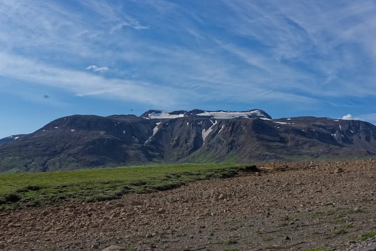
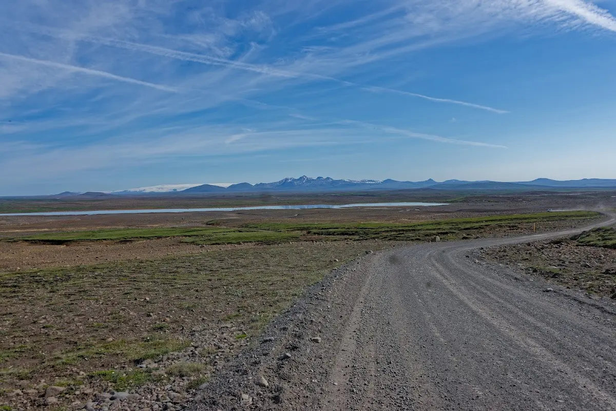
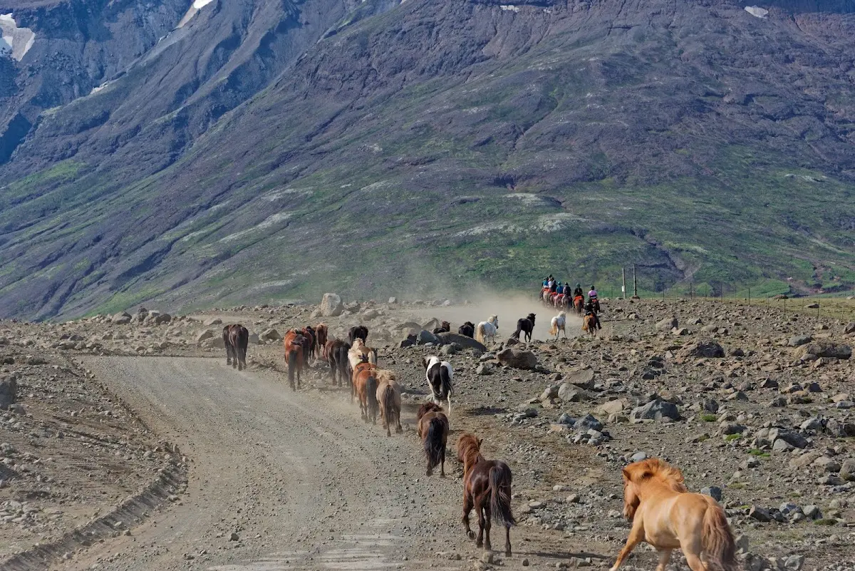
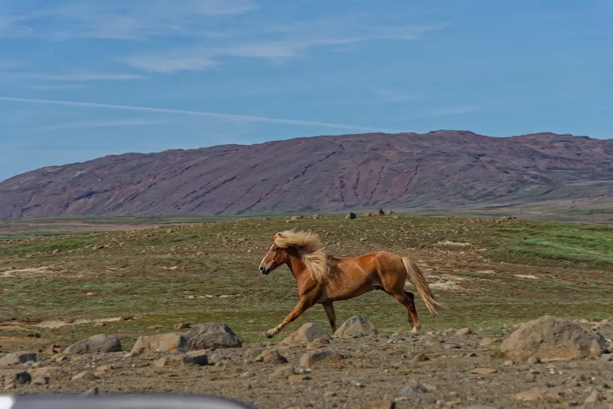
The area is also popular with friends of horse riding; as is well known, the famous Icelandic ponies have, besides walk, trot and canter, the additional gaits tölt and pace, and the tölt in particular is especially pleasant for the rider (free of jolts!), as it is a running gait without a suspension phase (unlike trot and canter). In the pictures I show a few ponies who are into it with varying enthusiasm...
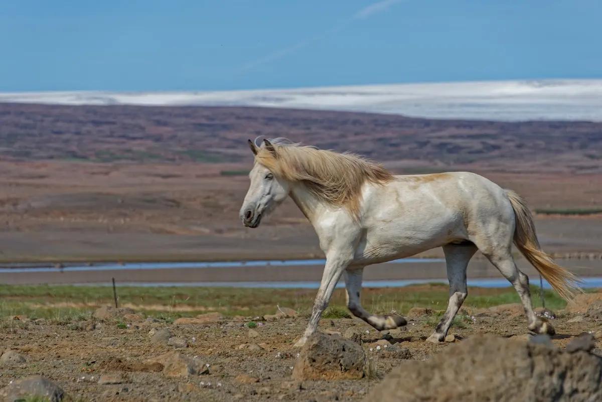
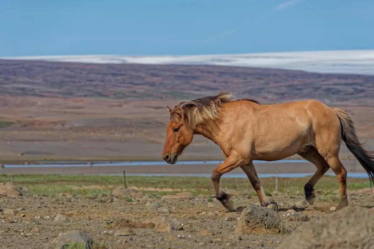
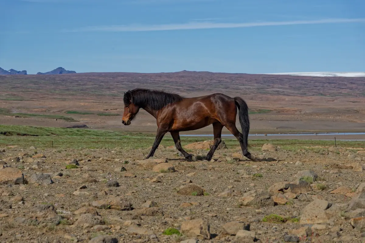
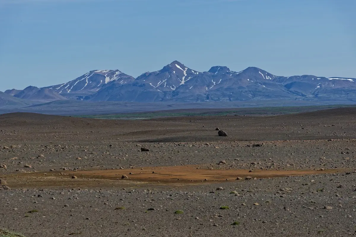
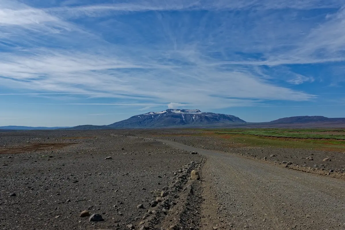
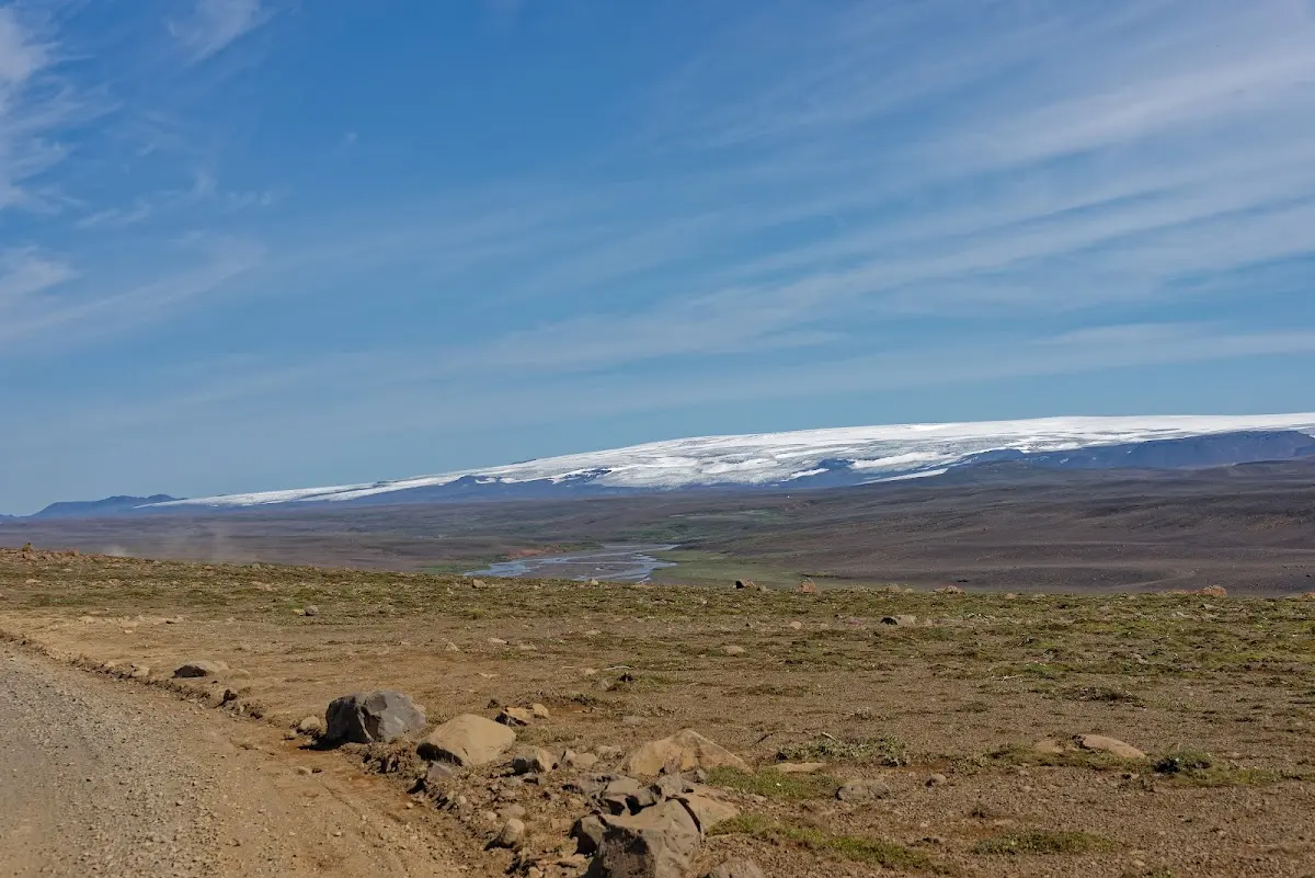
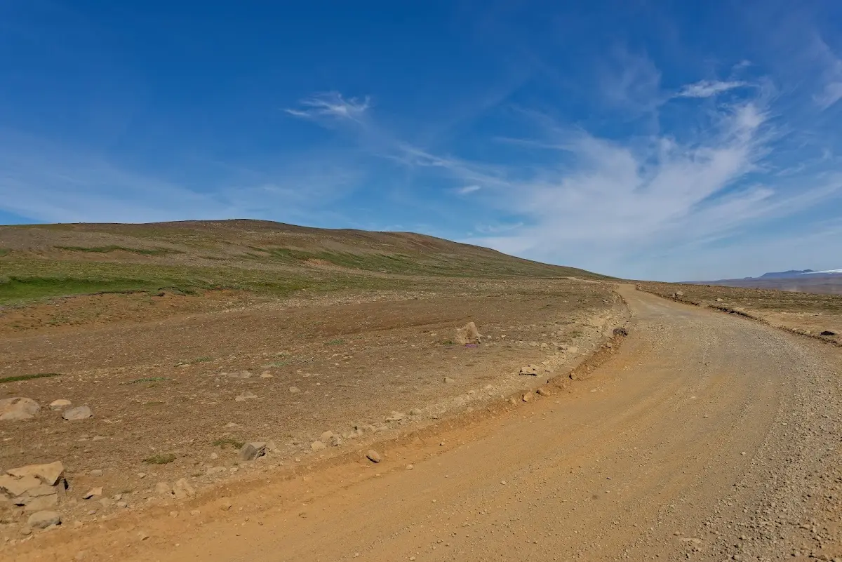
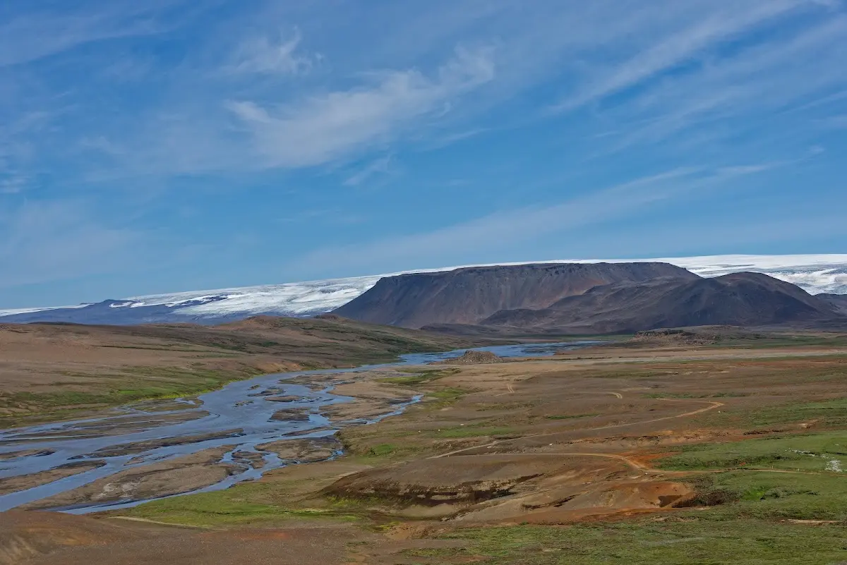
At some point the fork in the road to Kerlingarfjöll appeared, a volcanic mountain range a few kilometres east of the Kjölur track.
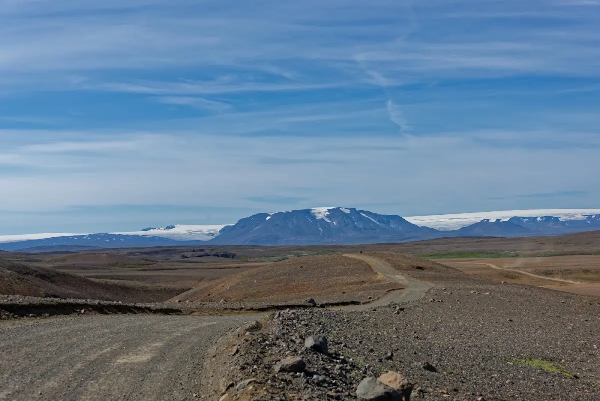
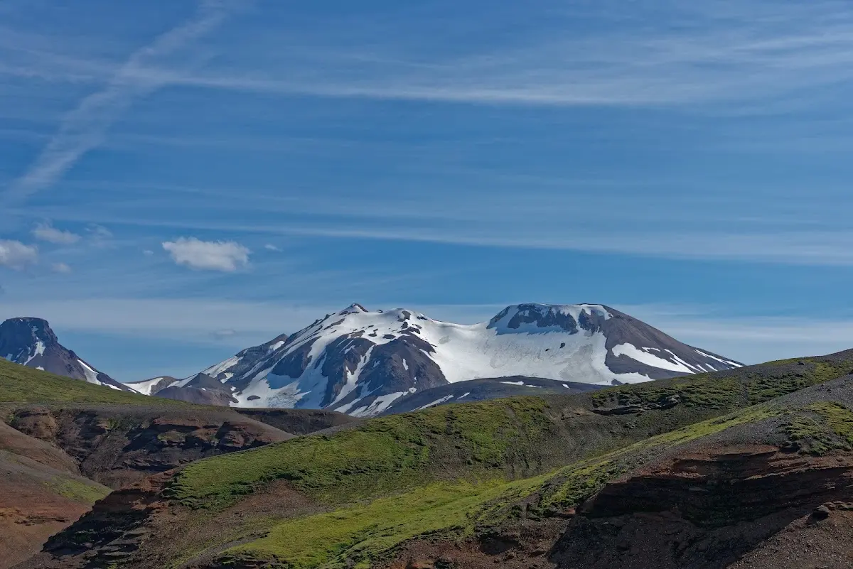
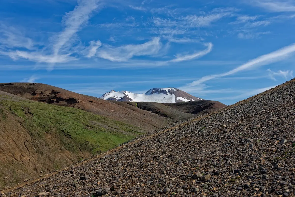
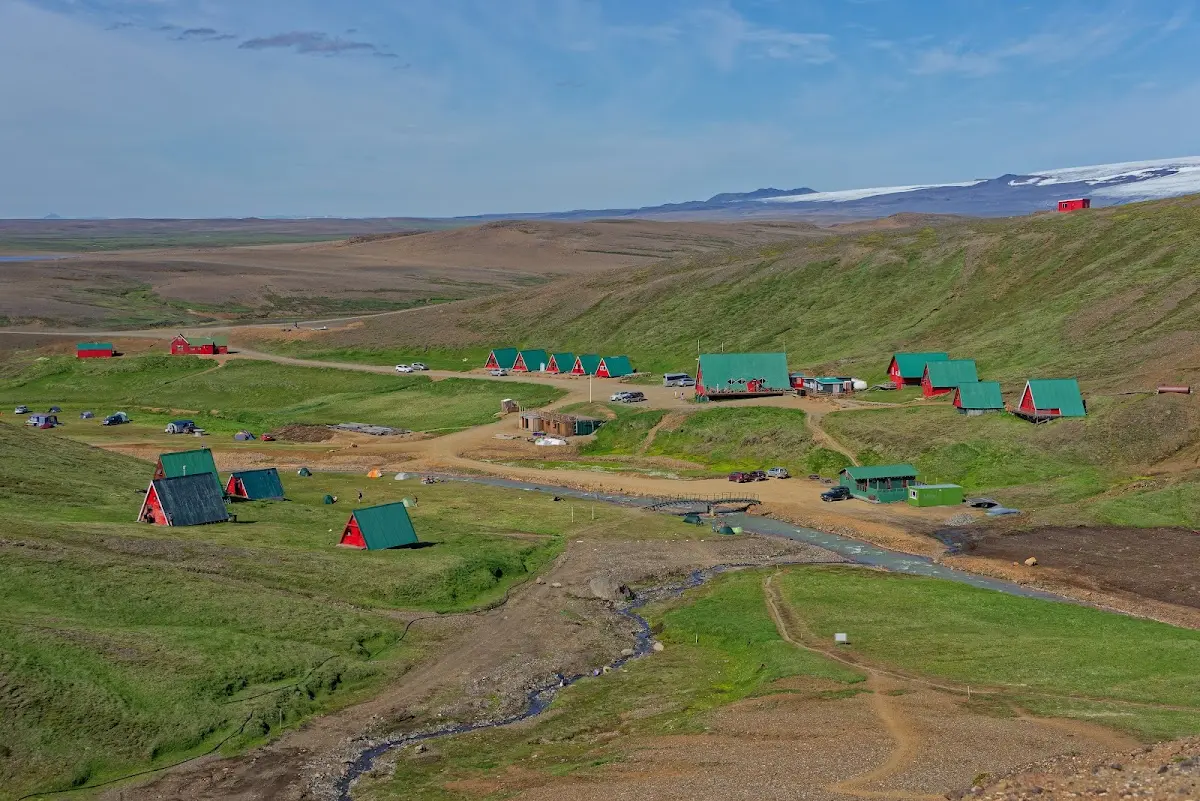
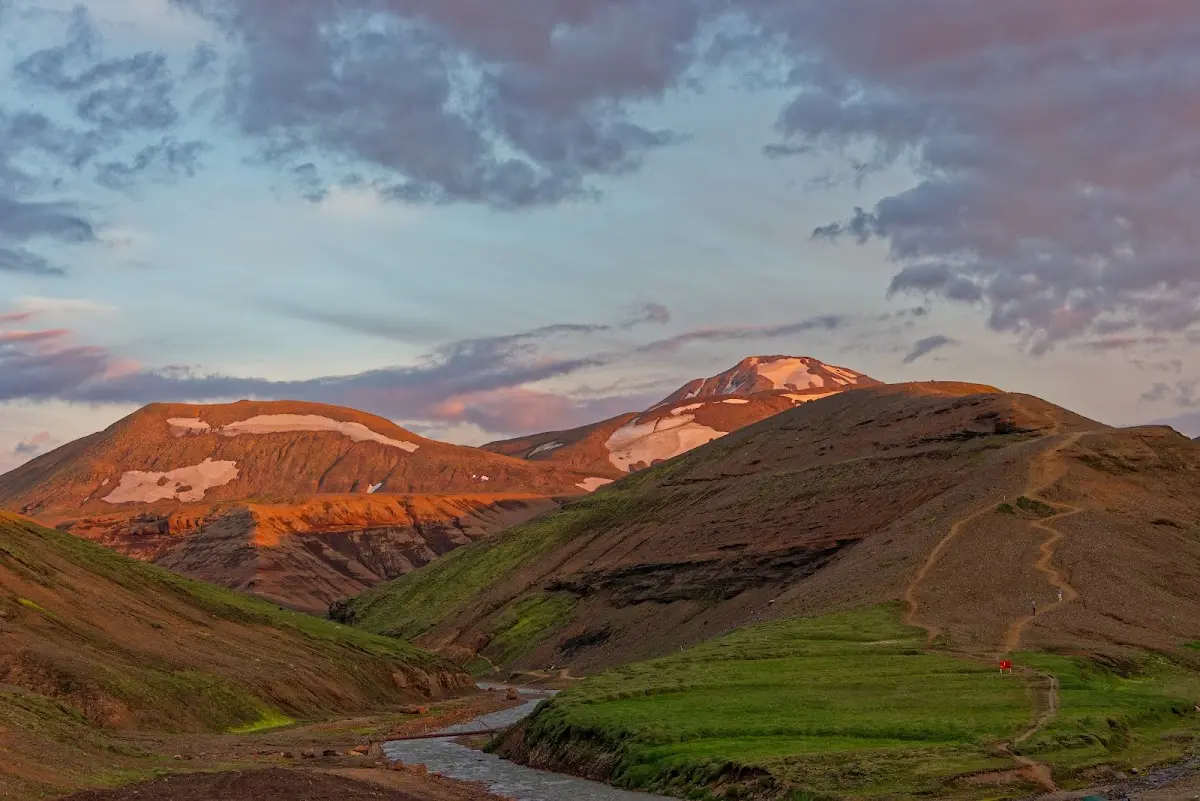
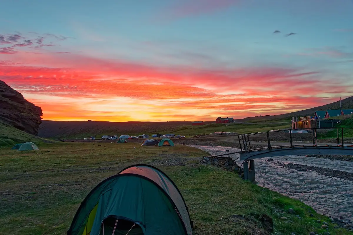
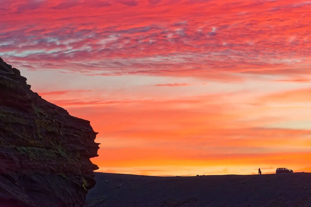
I pitched my tent and put on my hiking boots to visit the high-temperature area further up in the mountains. Numerous hot springs, mud pots, fumaroles and steaming streams were waiting for me. In Kerlingarfjöll layers of basalt cover the table volcanoes of rhyolite rock. The play of colours is fascinating and in good weather I would urgently recommend longer, more extensive hikes there. Worth seeing.
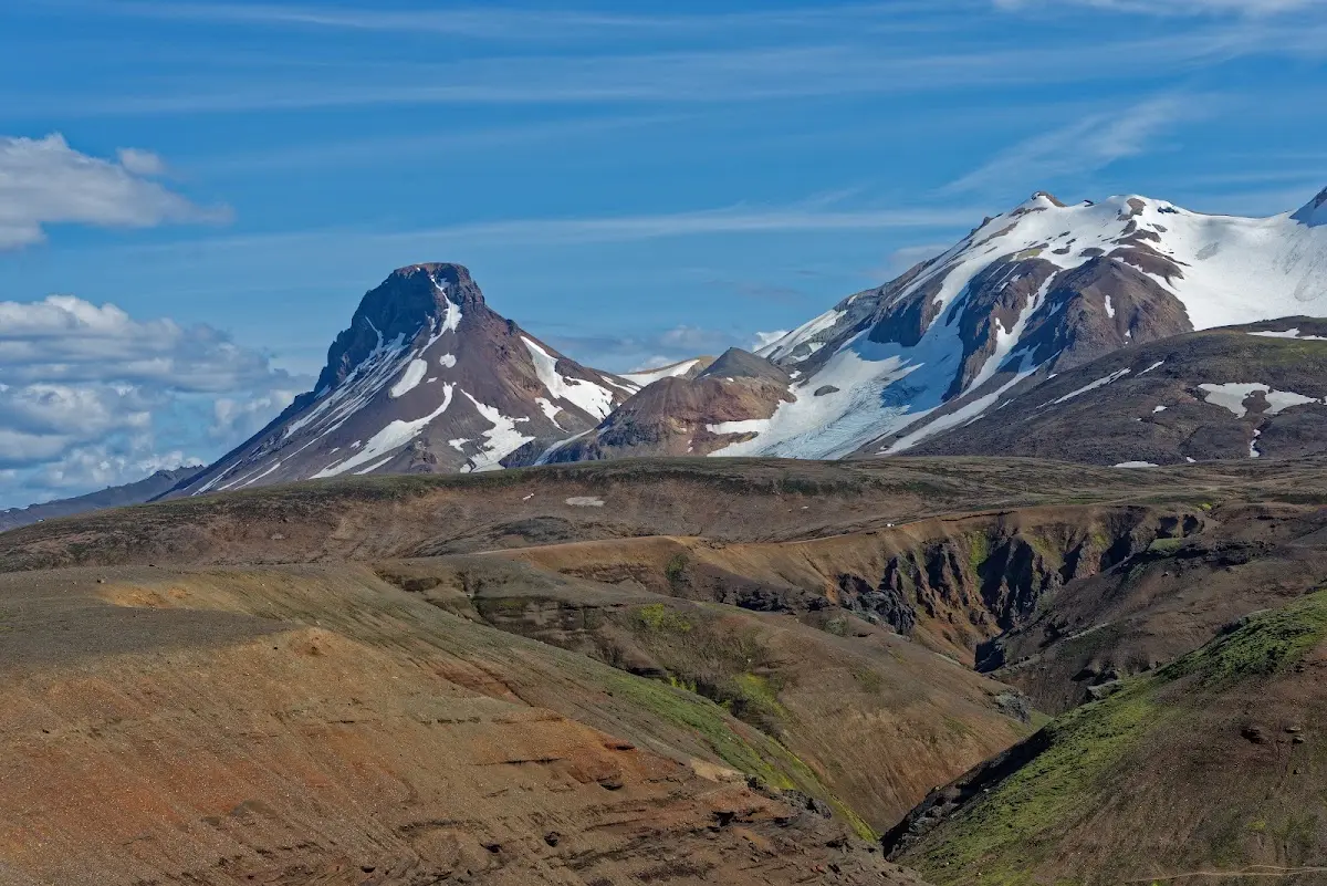
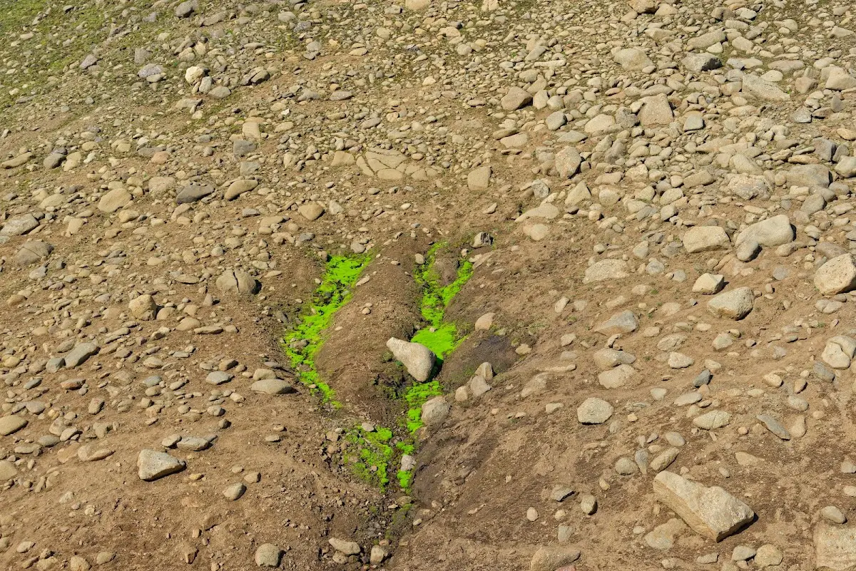
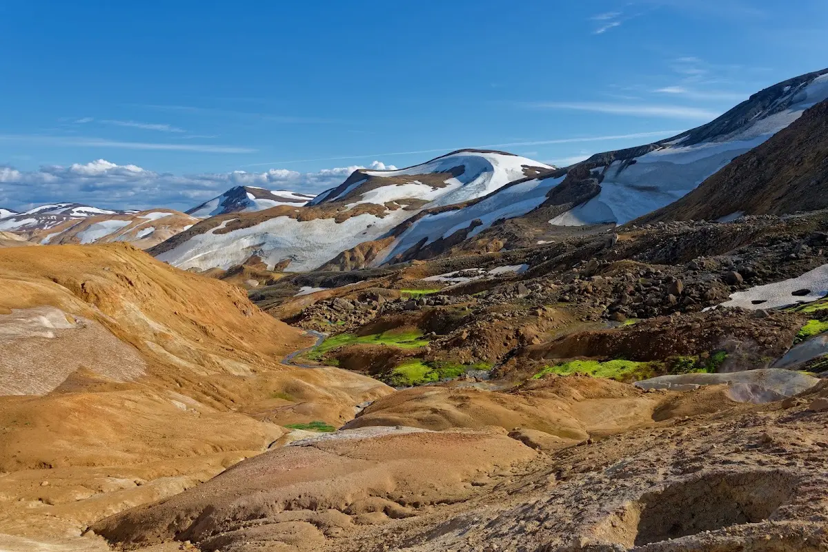
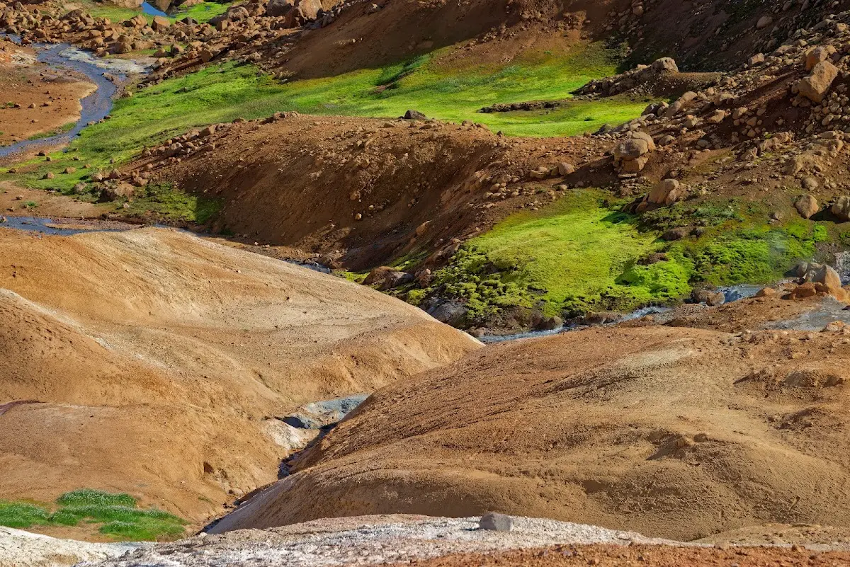
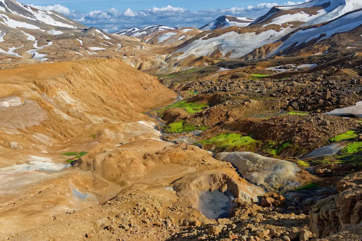
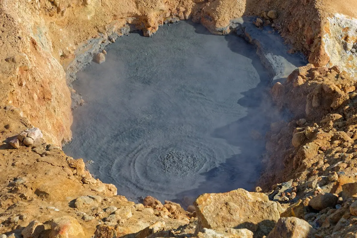
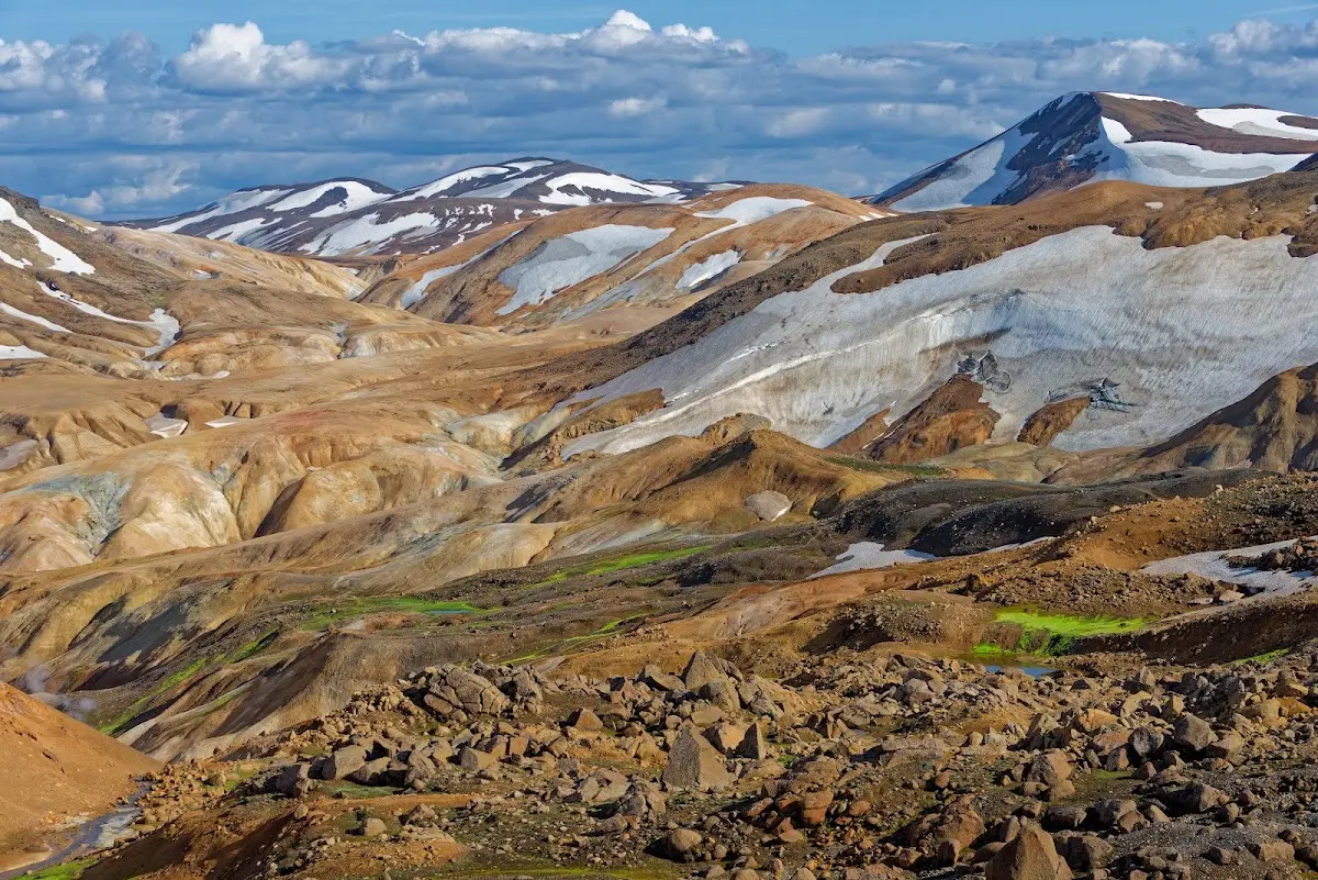
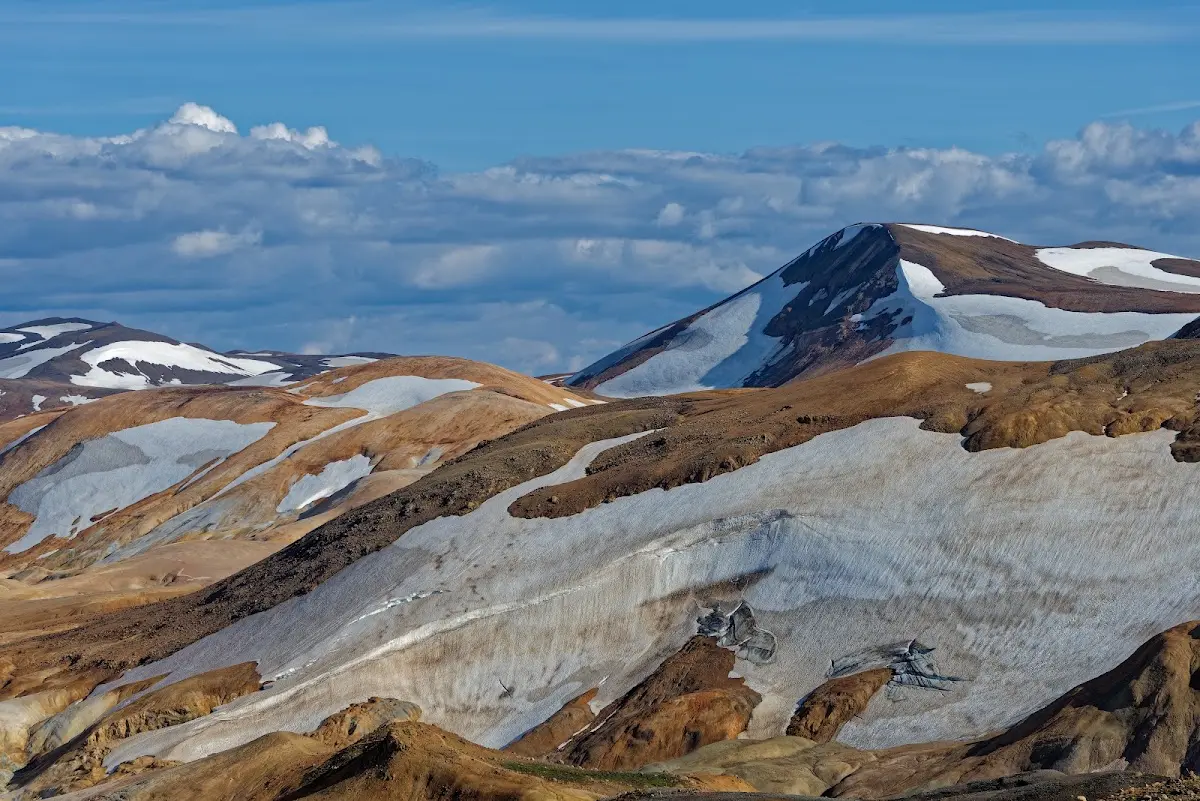
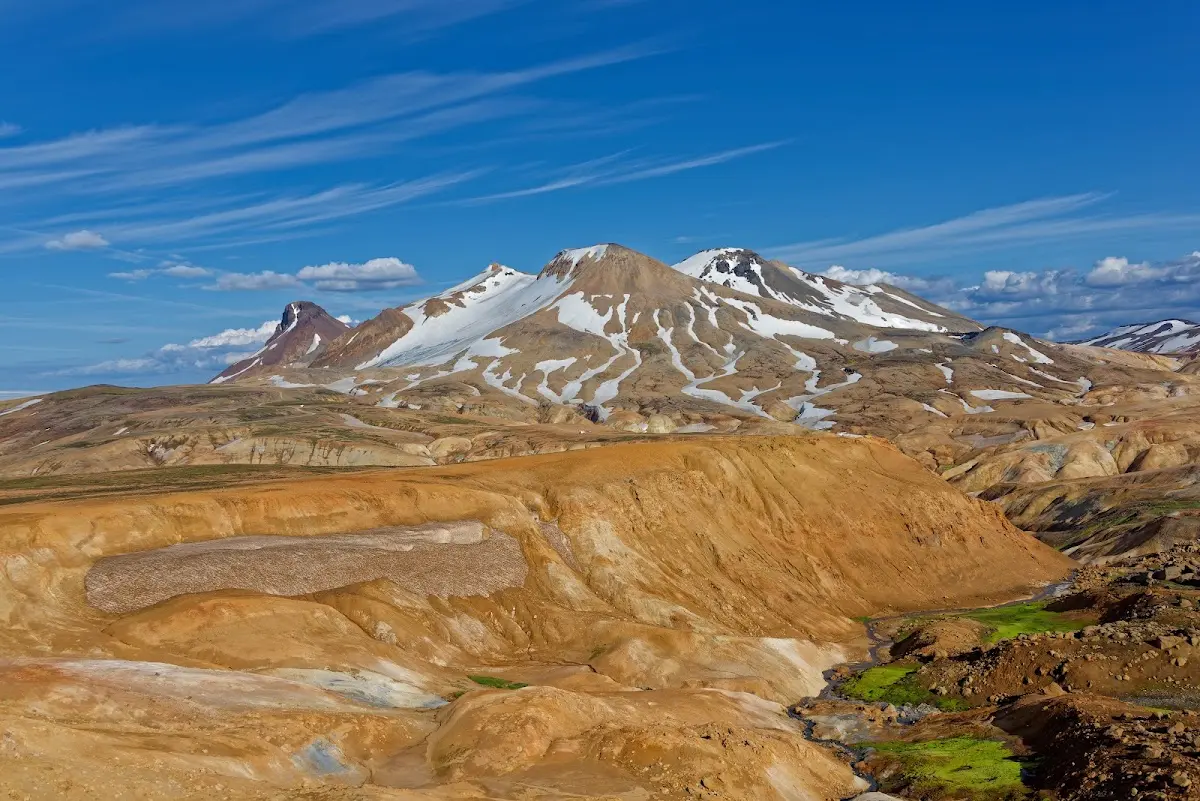
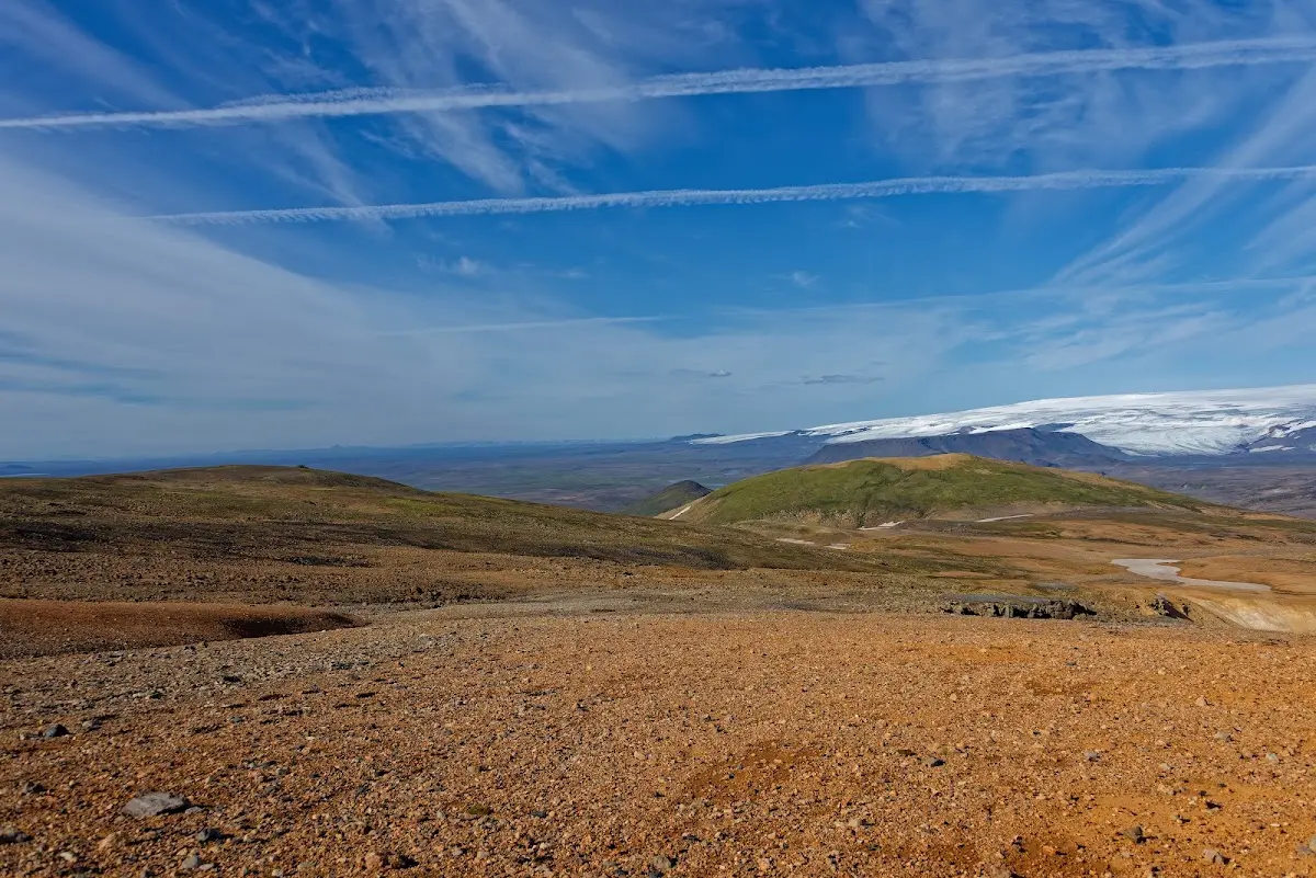
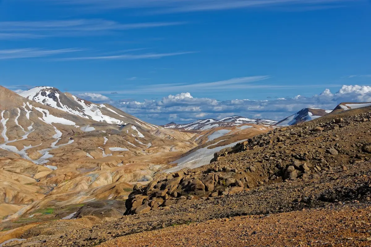
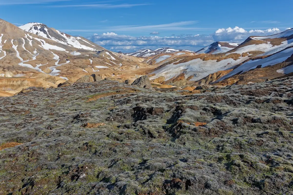
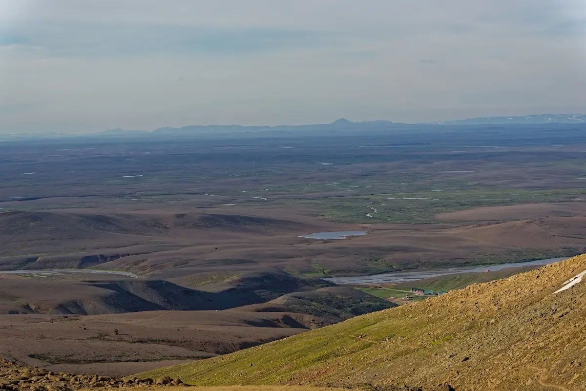
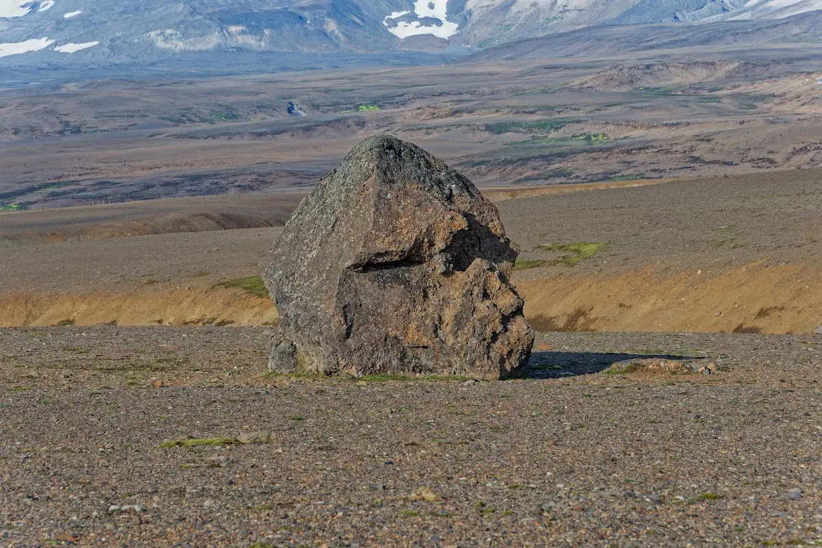
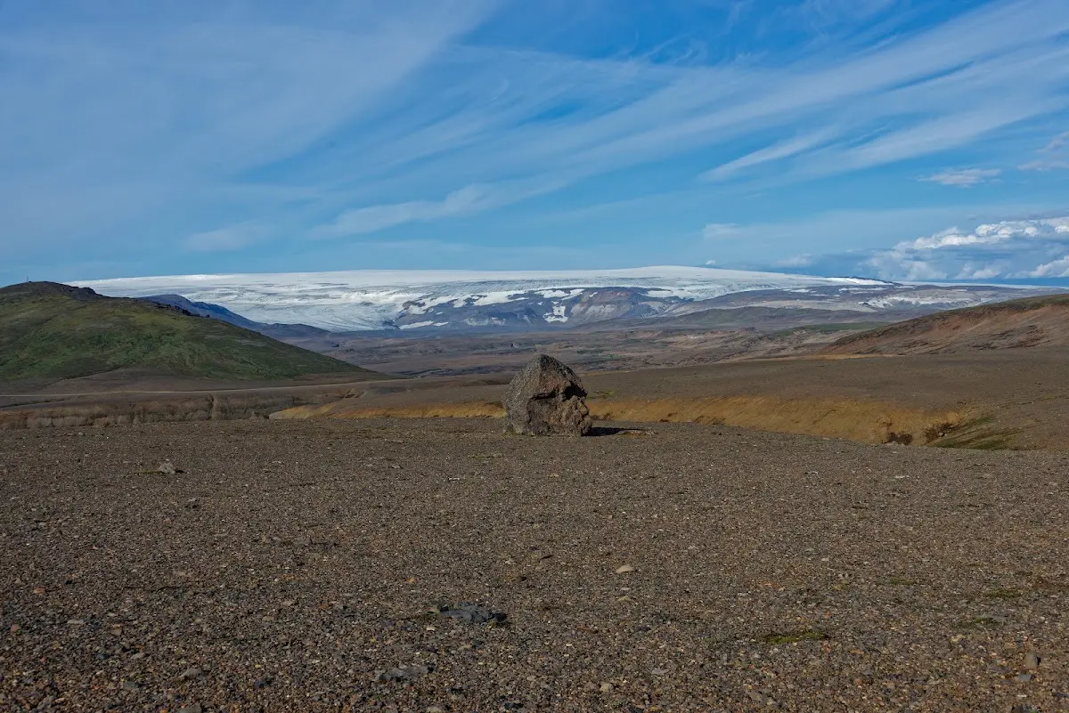
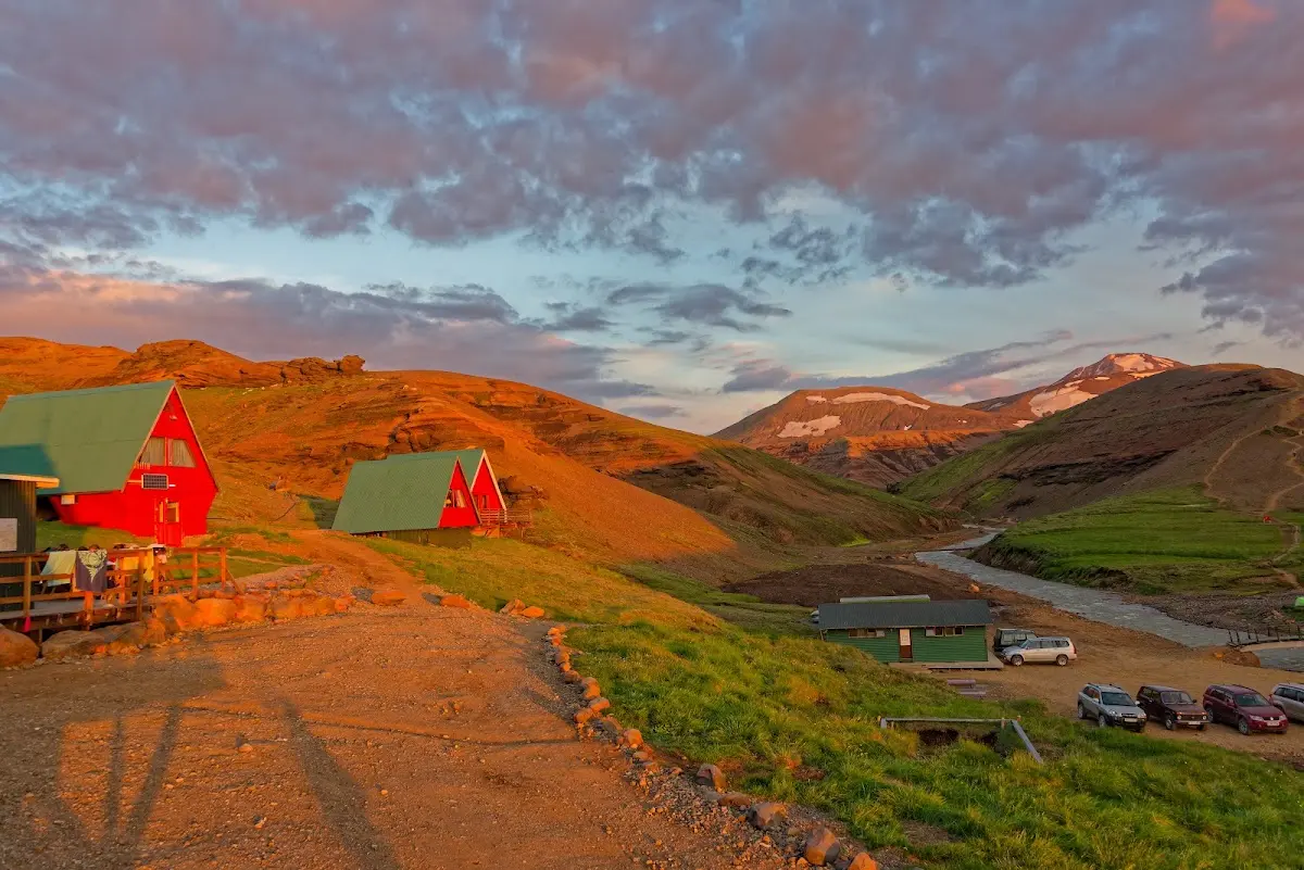
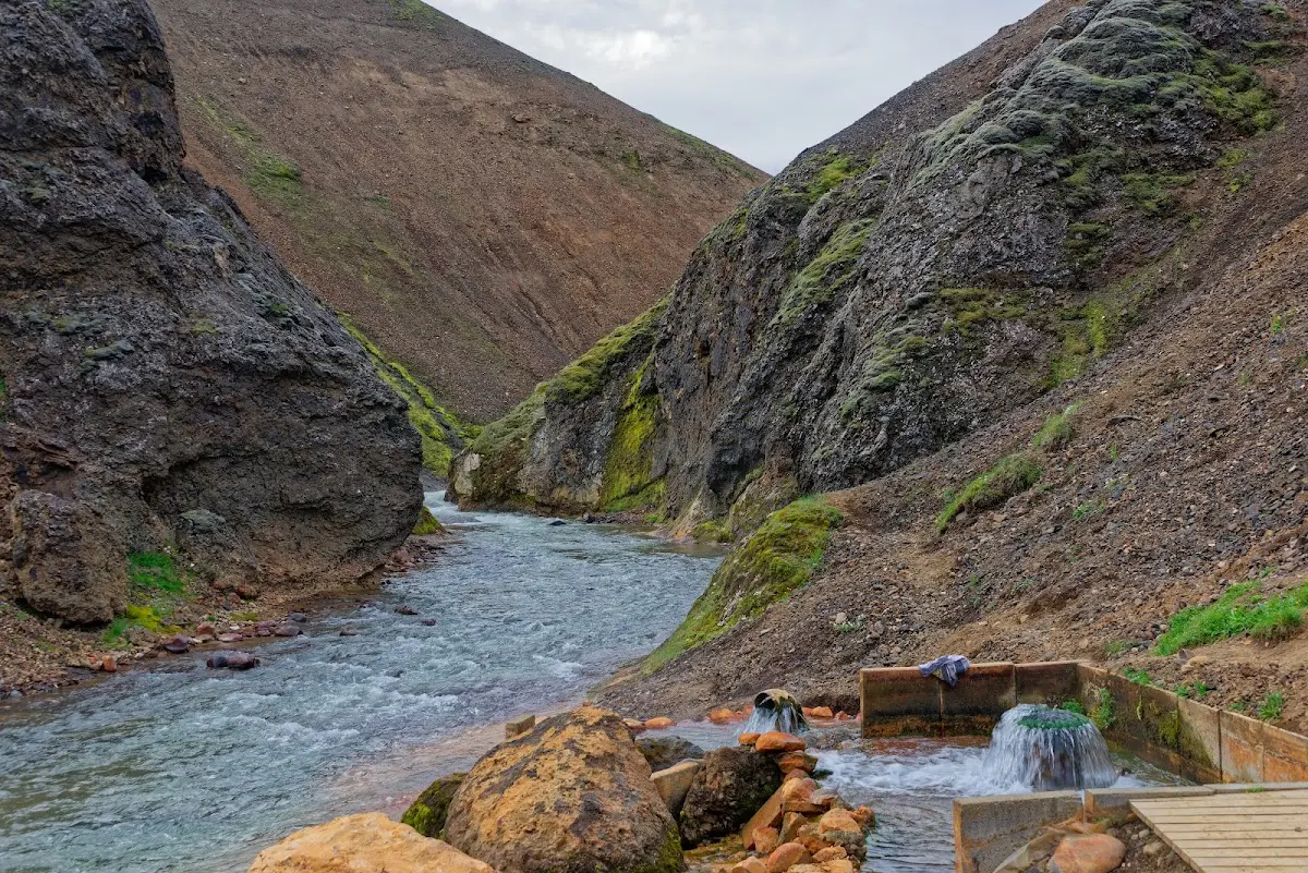
In Kerlingarfjöll I met a few cyclists whom I would see again now and then in the next days. The next morning I made another hike and later bathed in the hot pot about 30 minutes upstream.
14 Hveravellir
To the geothermal area Hveravellir it was only a stone’s throw, but the track was quite bumpy and in places annoyingly hard to ride. At the junction of Kerlingarfjöll with the Kjölur track stood a VW bus with the licence plate MB, as in Miesbach (the day before I had already chatted with a woman with a Rosenheim plate), who were just considering whether they should drive to Kerlingarfjöll. I stopped, we talked, and in the flow of the conversation about Iceland, experiences and sights, a banana and chocolate wandered into my stomach without interrupting the flow of talk much, and a few minutes later a rental car stopped and two people from Rosenheim identified themselves, a southeast-Upper-Bavarian summit meeting in the Icelandic highlands...
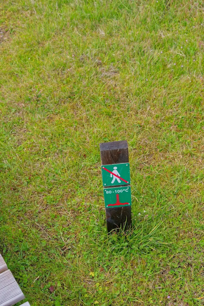
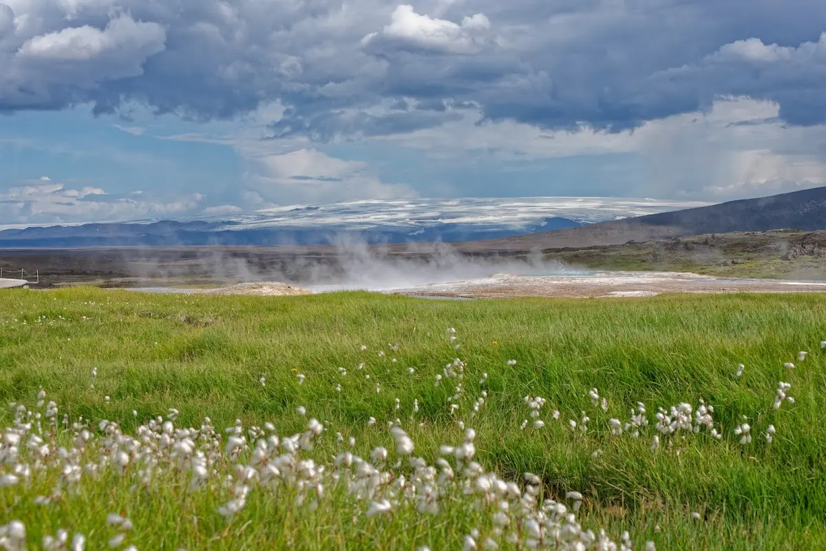
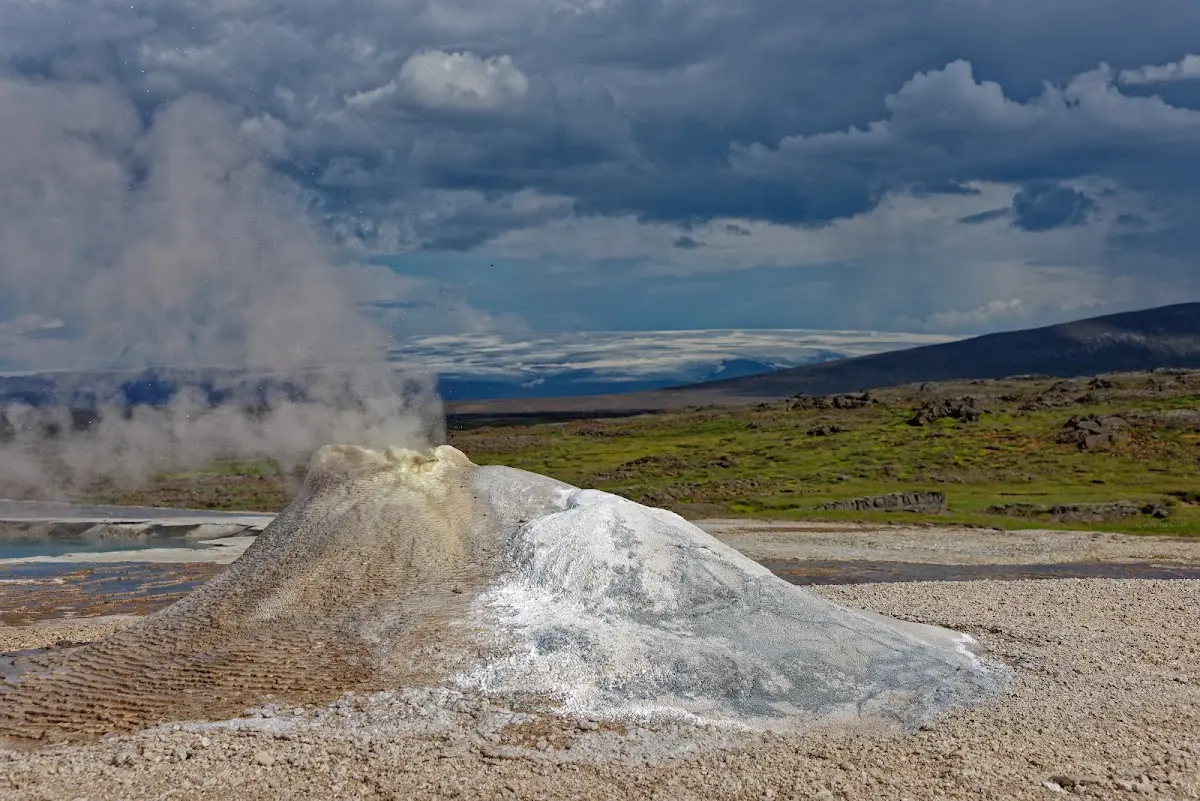
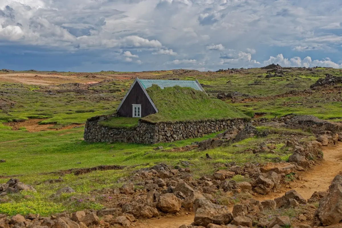
So now the high-temperature area Hveravellir with hot water springs, the Bláhver (the “blue springs”) surrounded by sinter terraces, fumaroles and the hissing solfatara Öskurhöll (roughly “Roaring Hill”). The Icelandic Alpine Club Ferðafélag has a hut there where you can also camp. The outlawed thief Fjalla-Eyvindur (I already mentioned these rogues who sought refuge in the highlands at the Sprengisandur) lived in a cave-like hut there in the 18th century.
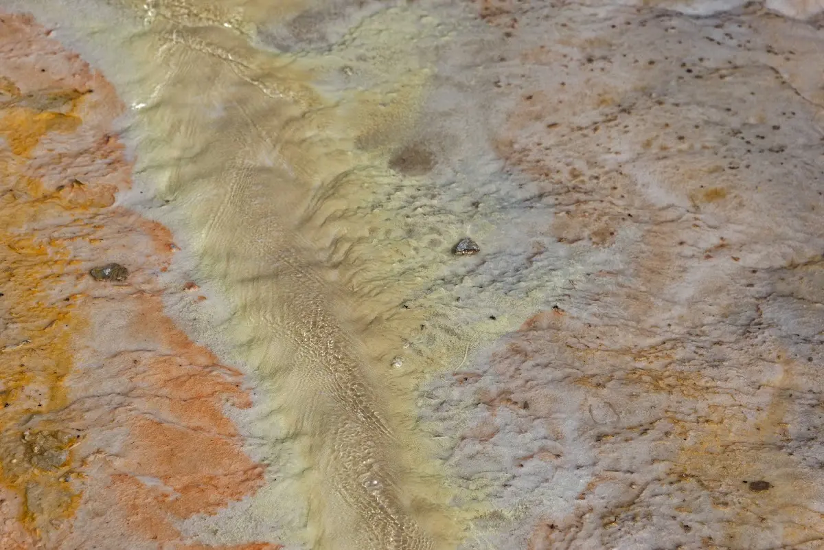
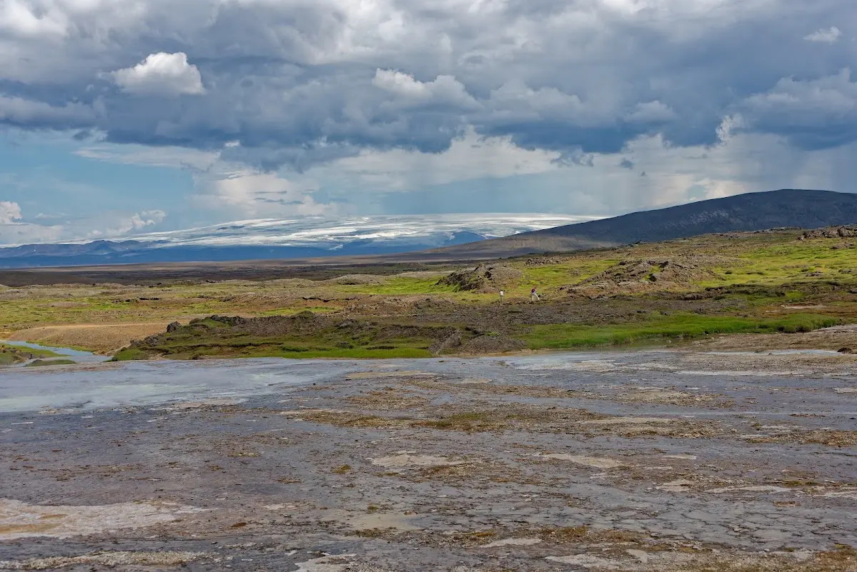
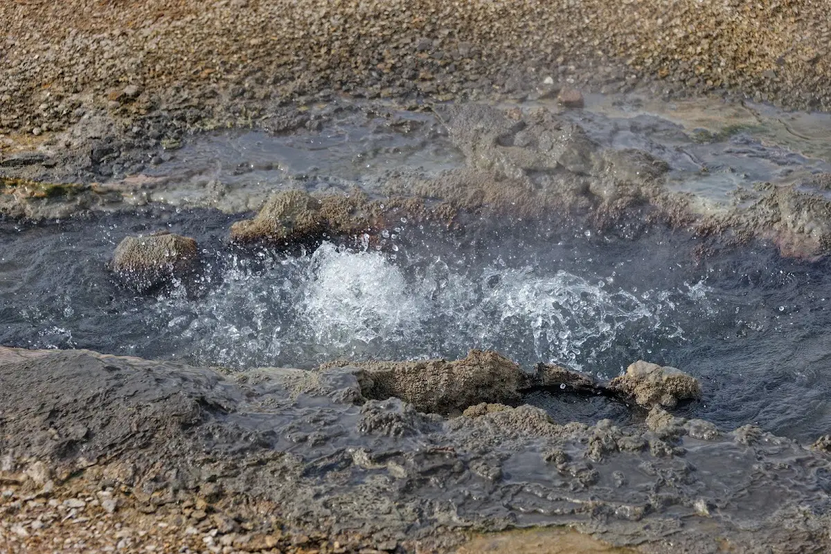
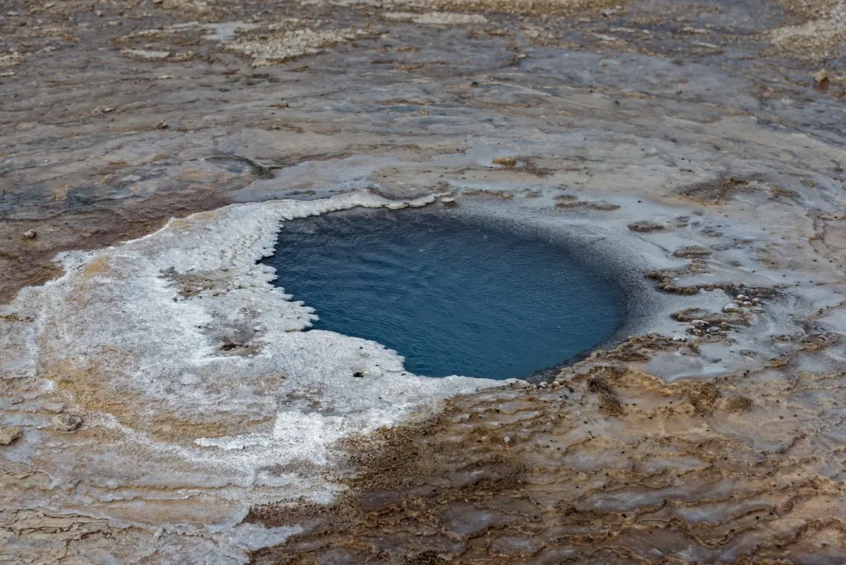
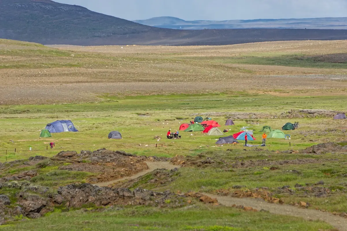
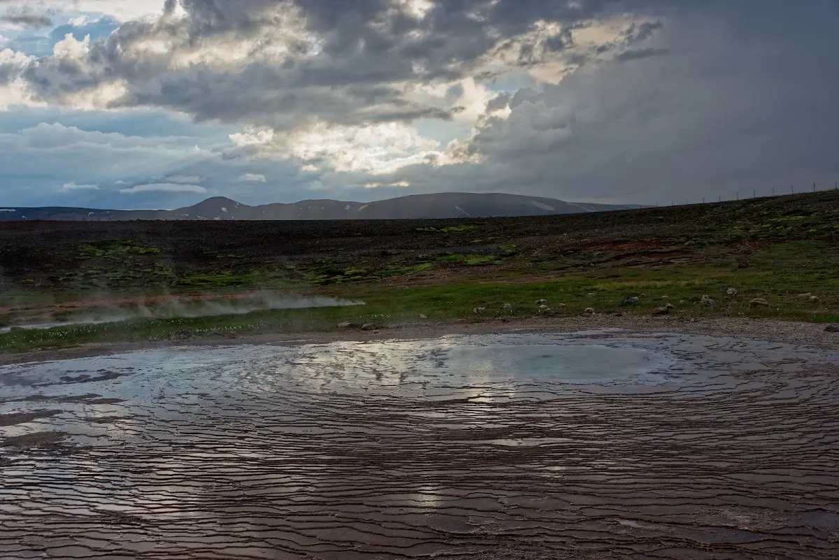
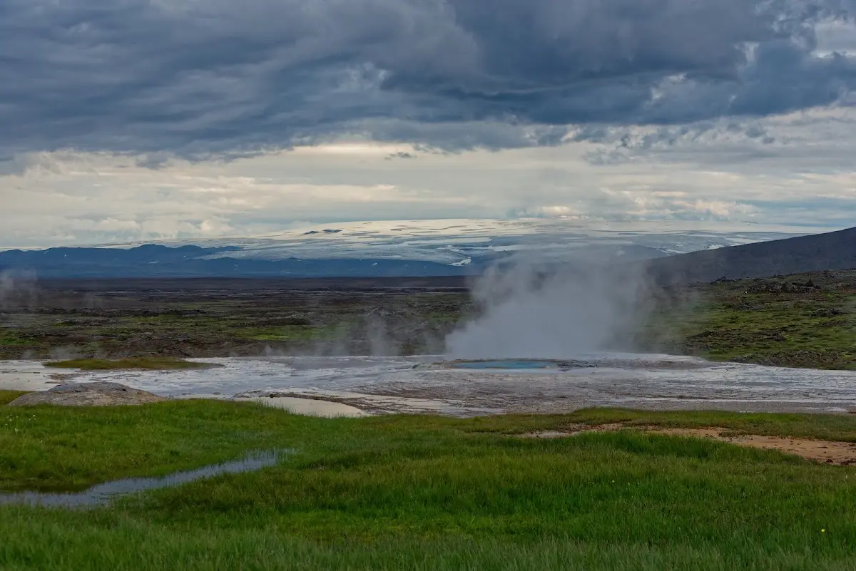
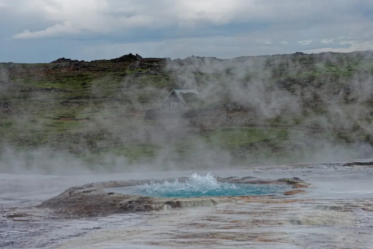
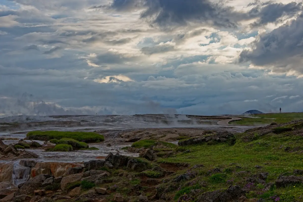
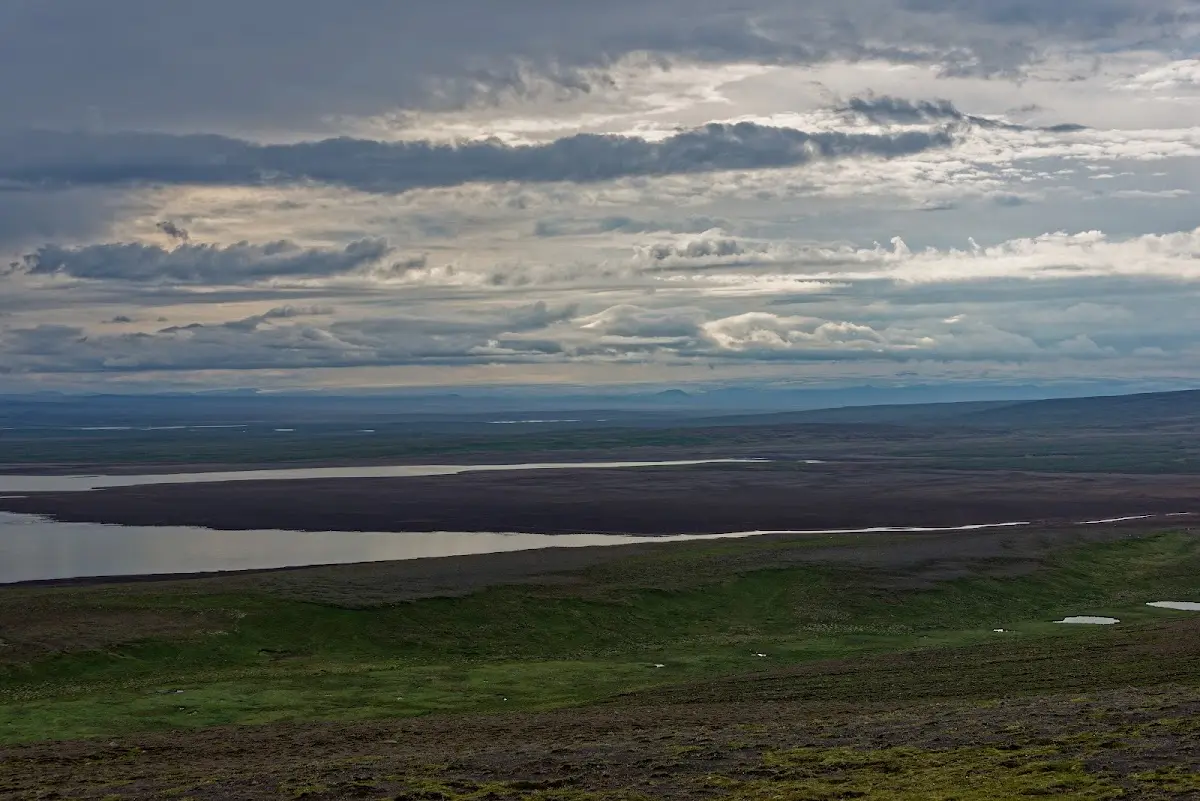
It was a restful afternoon and evening with nice conversations at and in the tent and in the rather neat hot pot within walking distance. Later the weather got worse and it rained for the first time in days. The next morning and the whole day were also rainy and cool, but I have the feeling that the stretch north of Hveravellir is not as interesting as the southern part of the Kjölur track, even in nice weather.
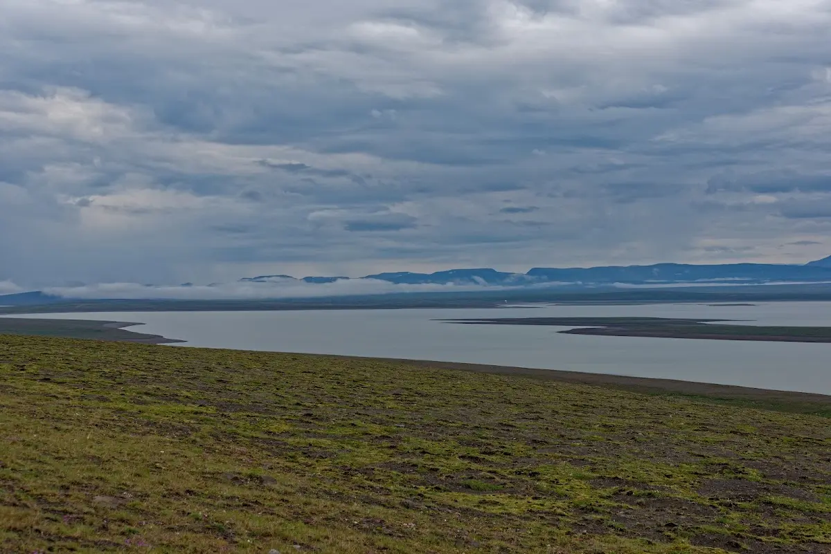
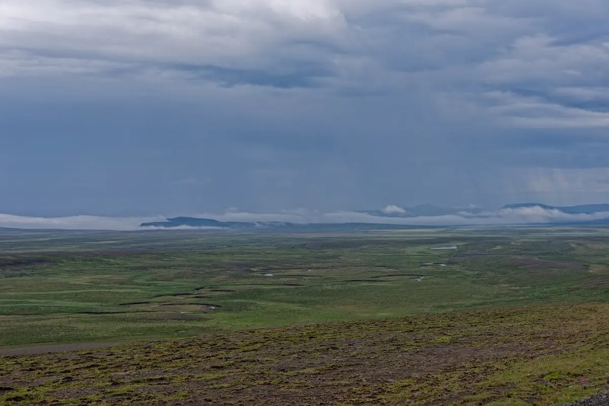
Next it goes on to Blönduós, back to the north coast of Iceland, and in the next and fourth part I describe my detour to the Vatnsnes peninsula and explore the Westfjords...