Iceland by Bike 2013 - Part 4
Deutsch | English
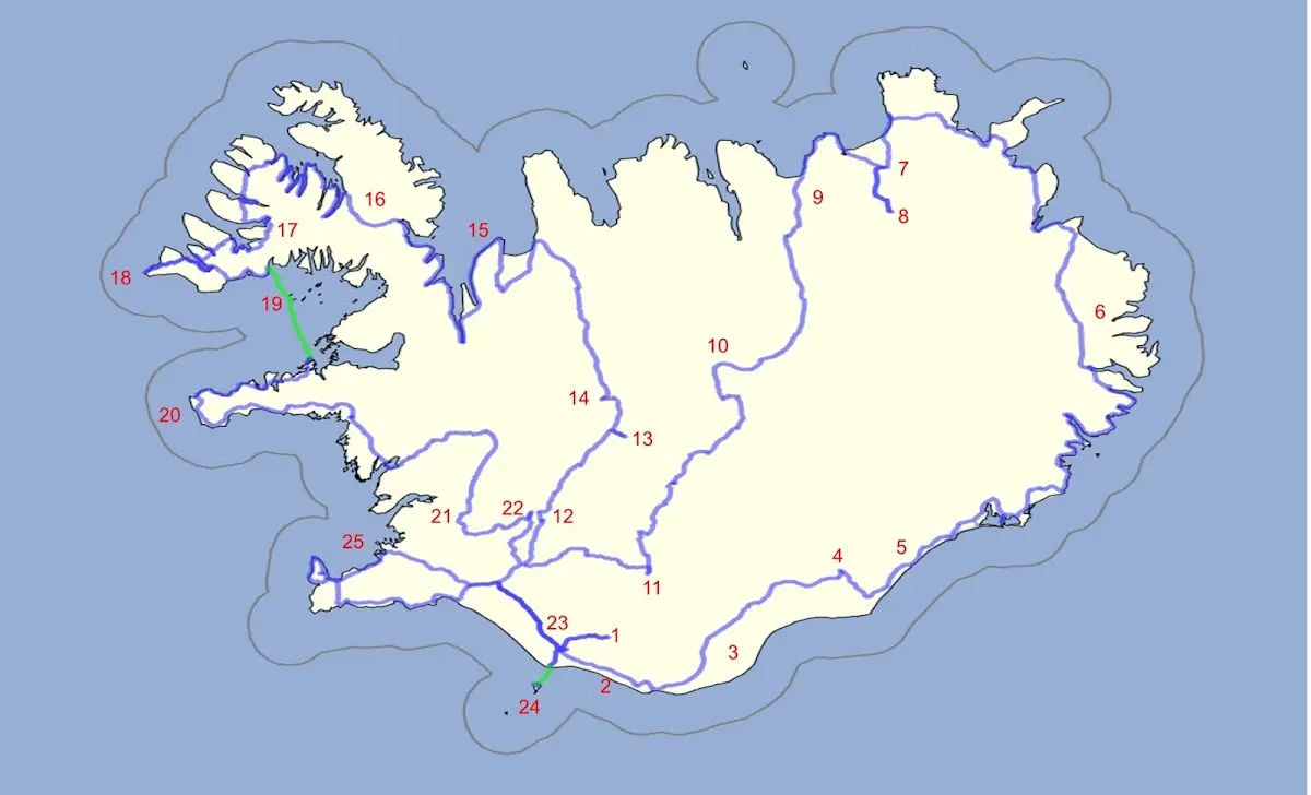
1 Þórsmörk hiking area 2 Between Skógafoss and Vik 3 Mýrdalssandur and other sandur plains 4 Skaftafell and Svartifoss 5 Jökulsárlón 6 The East Fjords and the northeast of Iceland 7 Asbyrgi and 8 Dettifoss 9 Husavik | 10 Highland track Sprengisandur 11 Landmannalaugar 12 Gullfoss 13 Kerlingarfjöll 14 Hveravellir 15 Vatnsnes peninsula 16 The Westfjords 17 Dynjandi waterfall | 18 Látrabjarg 19 Flatey 20 Snæfellsnes 21 Þingvellir 22 Geysir 23 Seljalandsfoss 24 Vestmannaeyjar 25 Reykjavík |
15 Vatnsnes peninsula
Towards the north the highlands rinsed me out with rain, and after a few kilometres on the Ring Road I reached the little town of Blönduós. In the evening I measured myself against a French woman I had met in Kerlingarfjöll in a slide race on the two water slides in the local swimming pool.
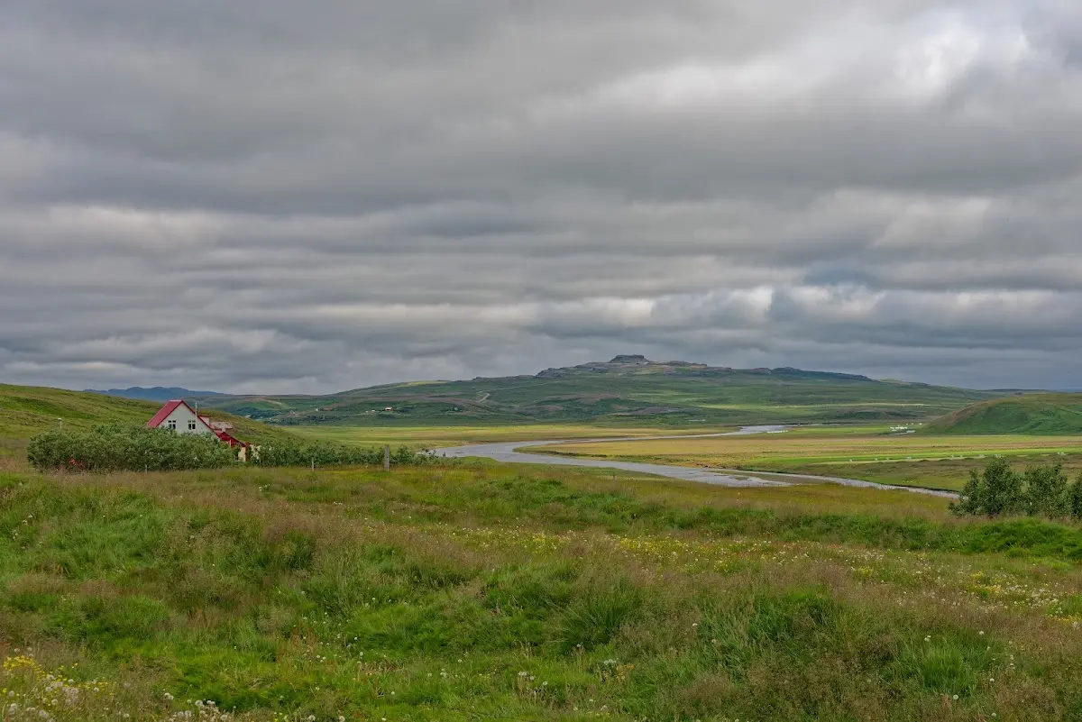
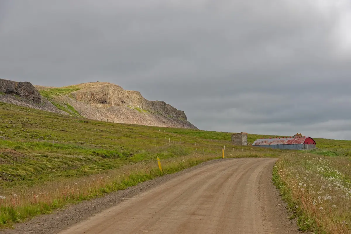
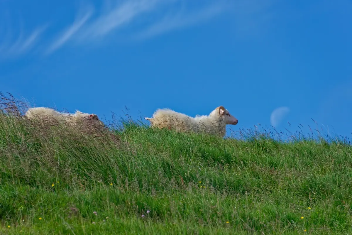
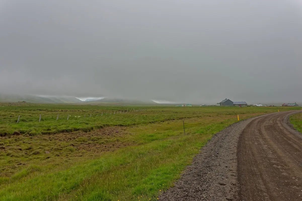
The next morning I rode around the Vatnsnes peninsula; the road is mostly unpaved but easy to ride.
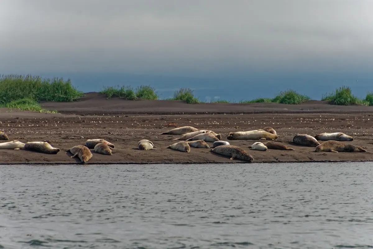
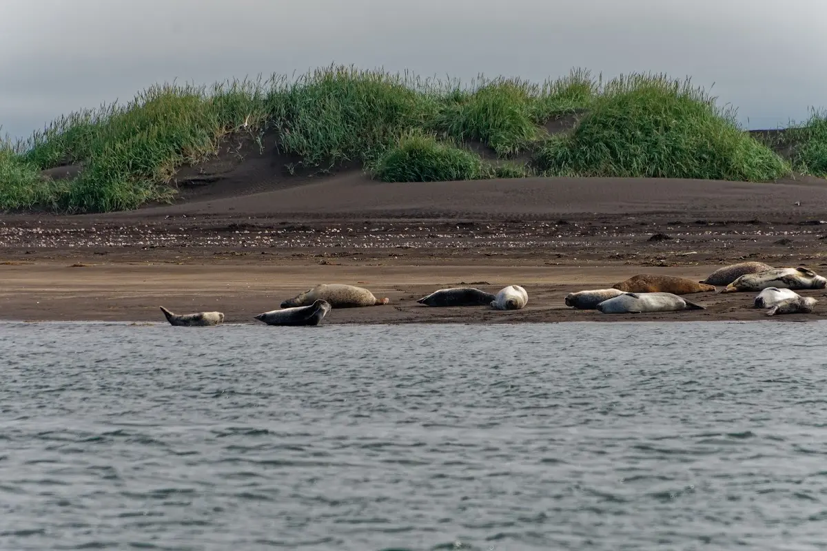
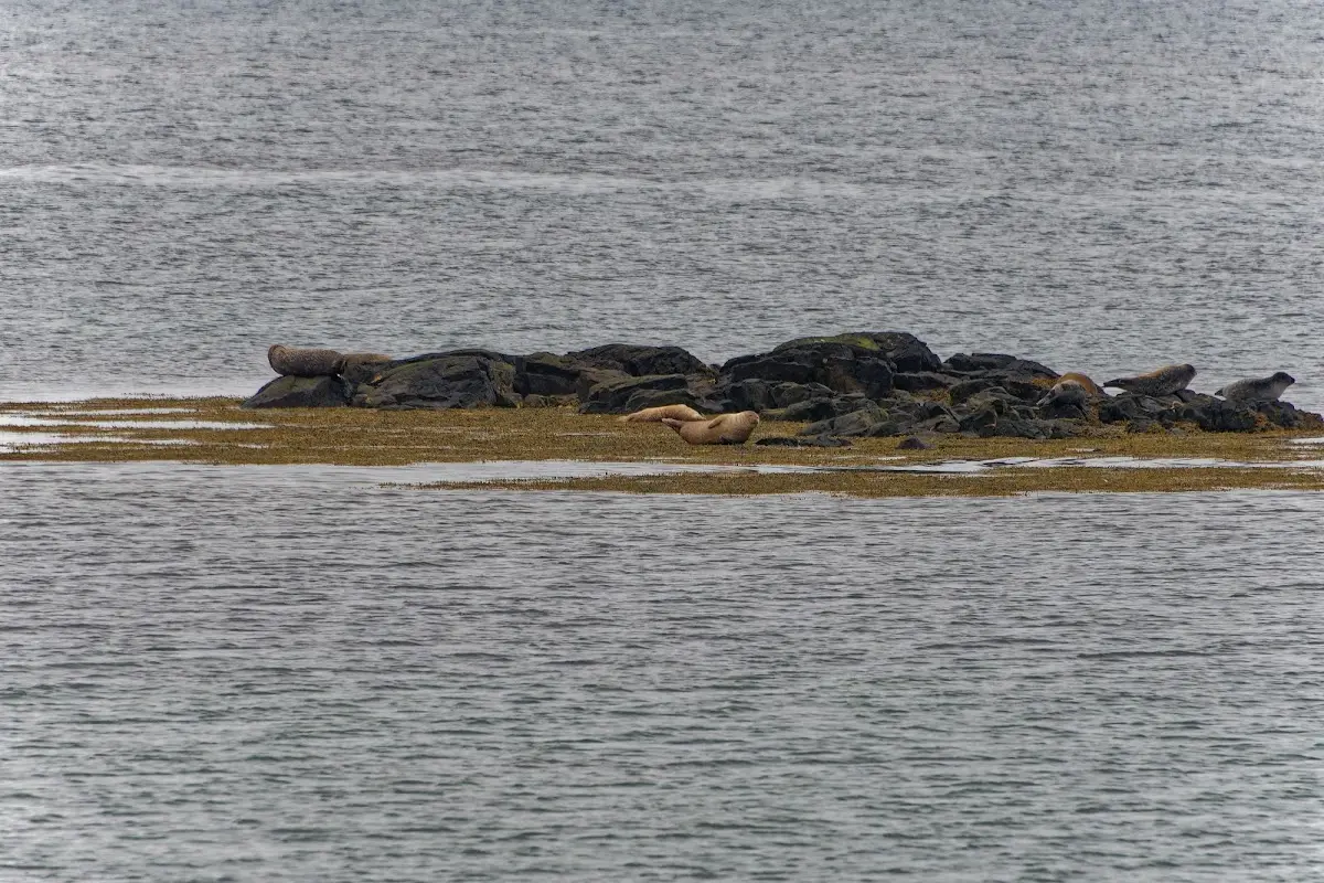
In a few seal colonies both the ringed seal and the common seal live there. All the seals were just lazing about and showed no interest in doing tricks.
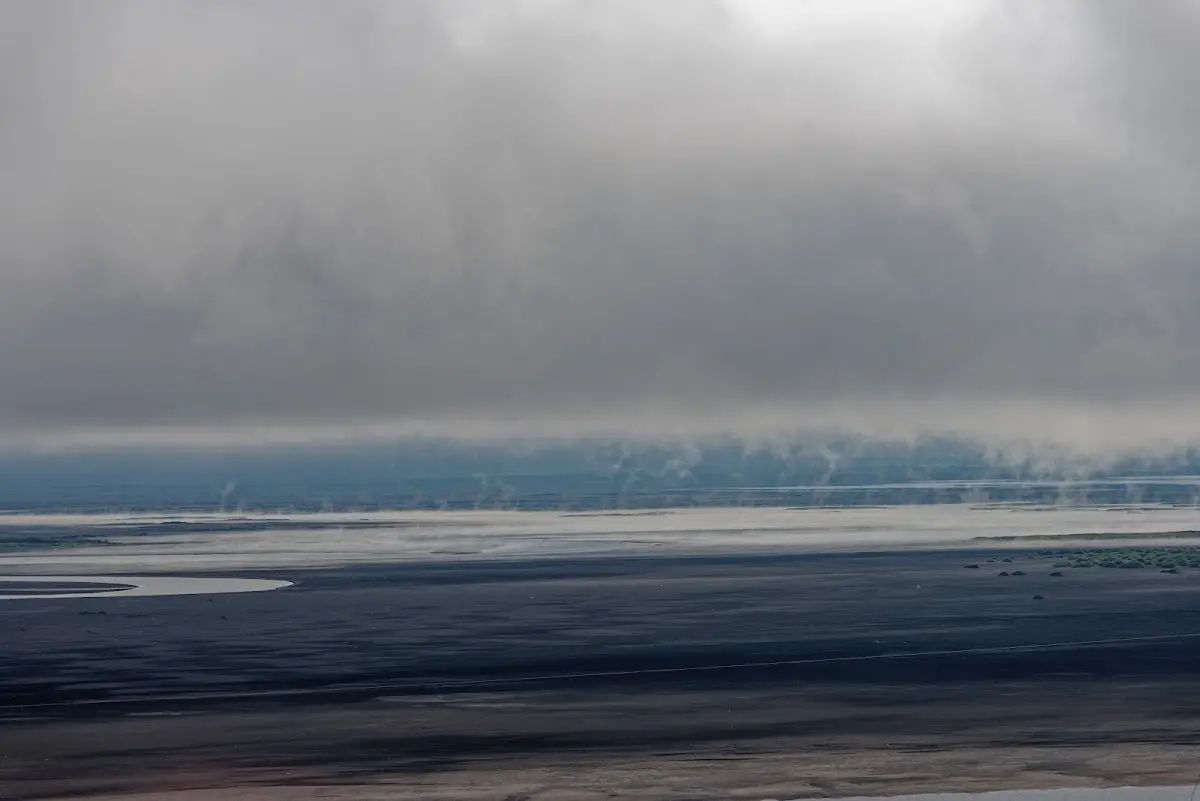
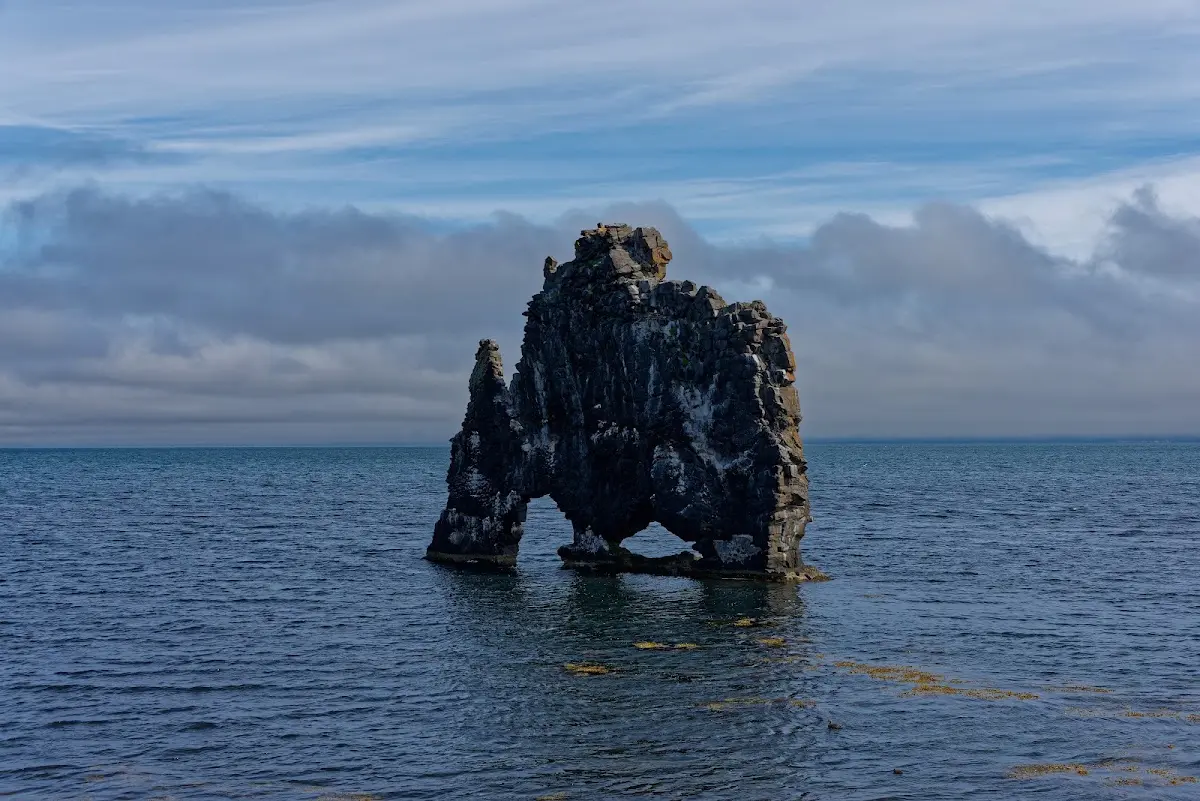
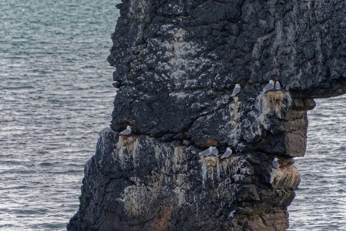
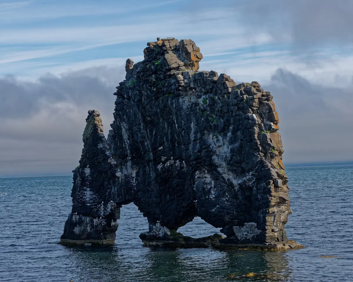
Kittiwakes and fulmars nest on the rock Hvítserkur; according to an Icelandic legend it is a petrified troll who apparently wanted to cause trouble with the nearby monastery of Þingeyrar and was caught out by the sun.
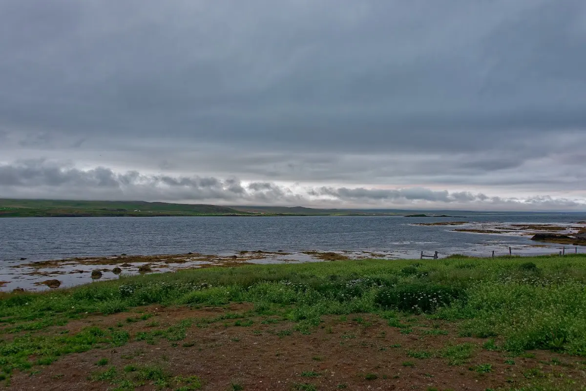
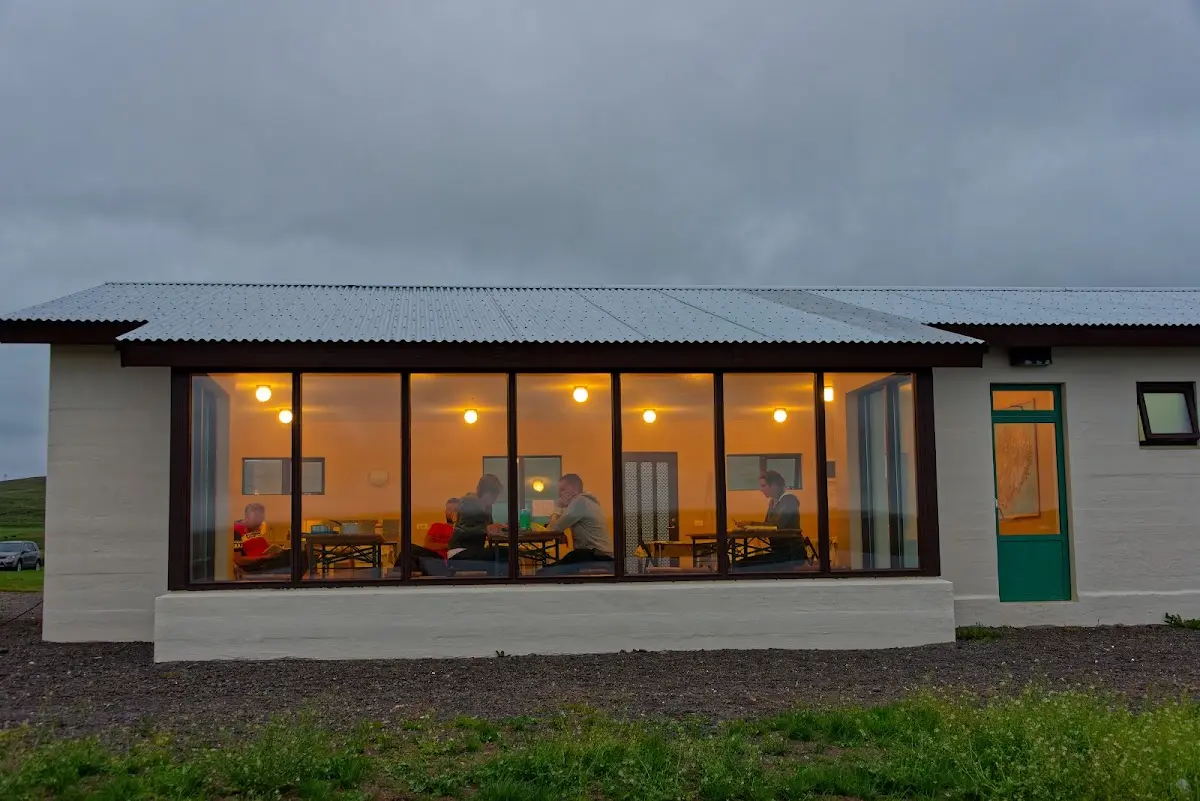
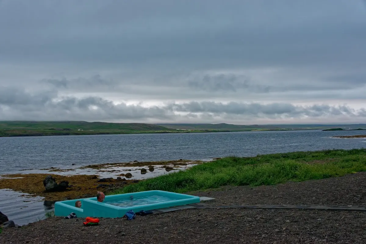
In the evening I stayed at a campsite on the Hrútafjörður with a nice communal kitchen overlooking the fjord, and spent a good 3 hours chatting with 2 cycle tourists from England (father and son) in the nearby hot pot. On no holiday before have I spent so much time in bigger bathtubs...
16 The Westfjords
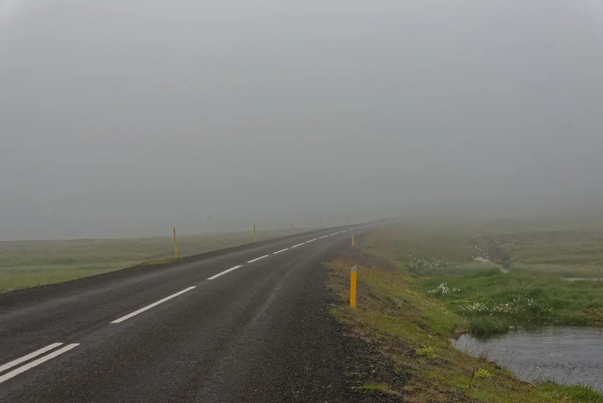
On their way to Reykjavík (south) the two Englishmen probably had more luck with the wind than I did on my way north into the Westfjords to Hólmavík. A stiff north wind slowed me to 13-15 km/h while, in low to medium gears, I put in an effort that would have been enough for just under 30 km/h with only the airstream...
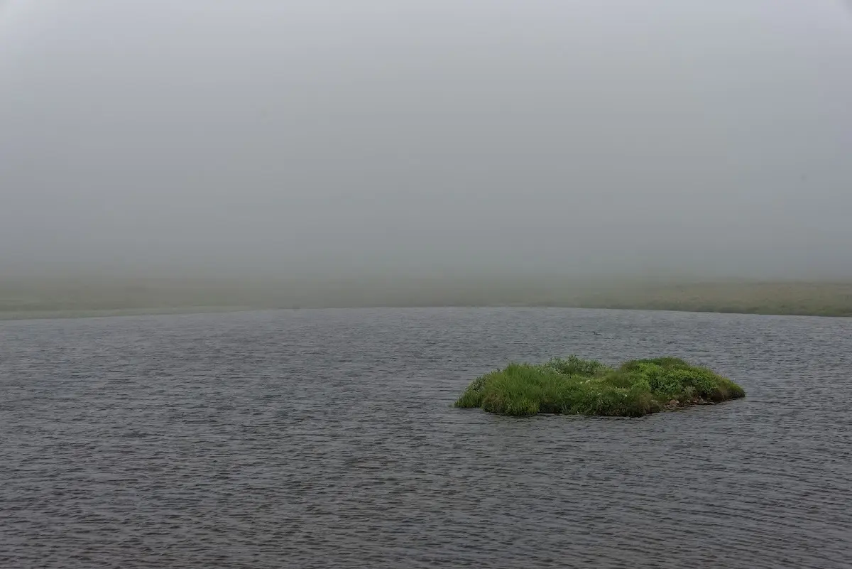
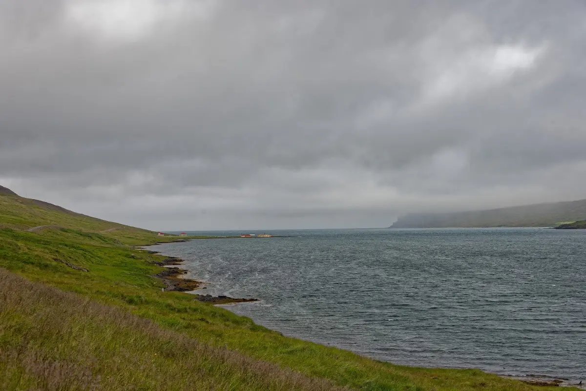
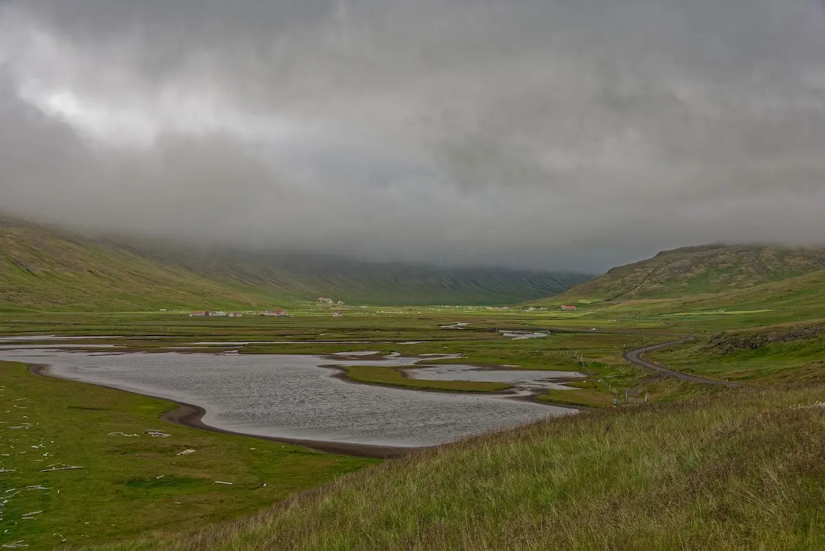
Hólmavík is home to the Museum of Icelandic Sorcery & Witchcraft, and after a good 100 km of fighting the wind, rather bewitched, I was put up by a campsite with a swimming pool and a supermarket less than 100 m away. Very practical.
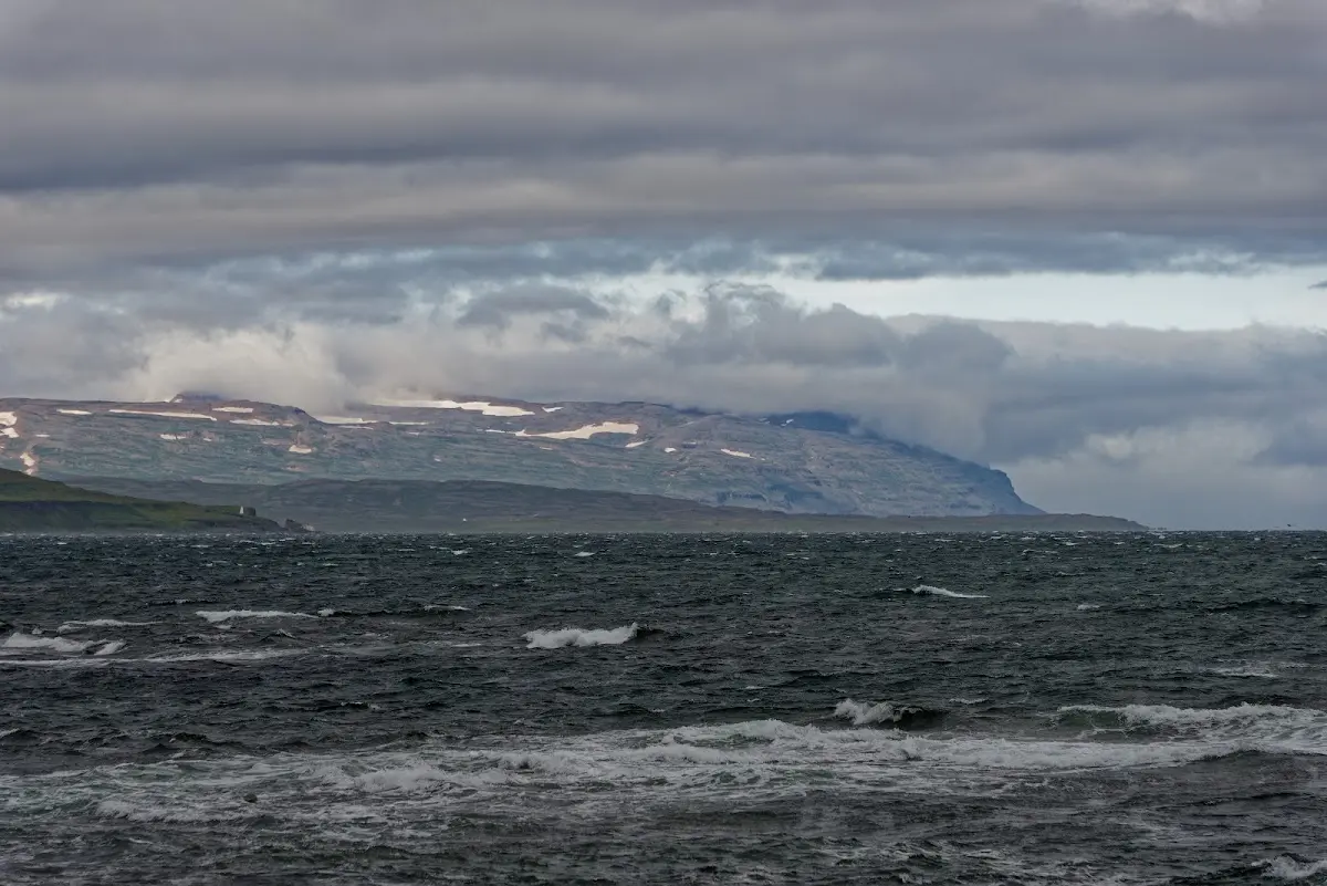
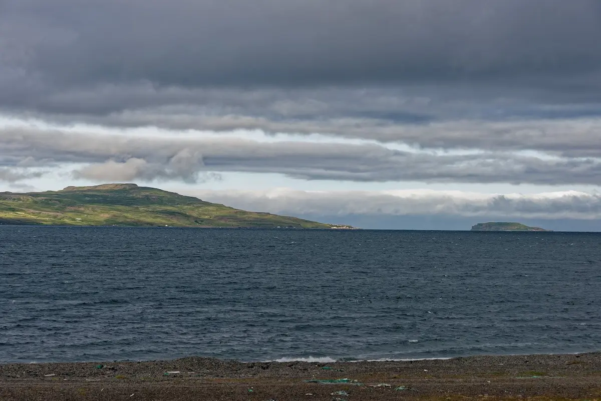
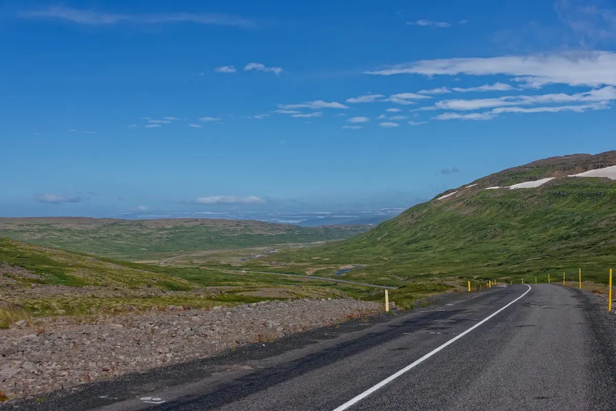
For the plateau Steingrímsfjarðarheiði (440 m) the Icelandic road information system showed a temperature of 3 degrees the next morning, and on top of that came an exceedingly fresh wind. Despite warm clothing and of course gloves: rarely have I frozen so much, and how glad I was to be back at sea level.
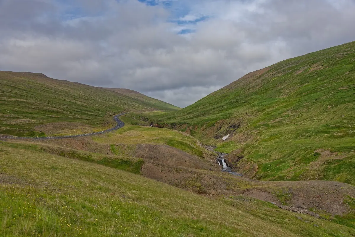
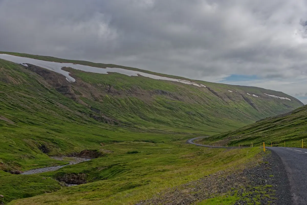
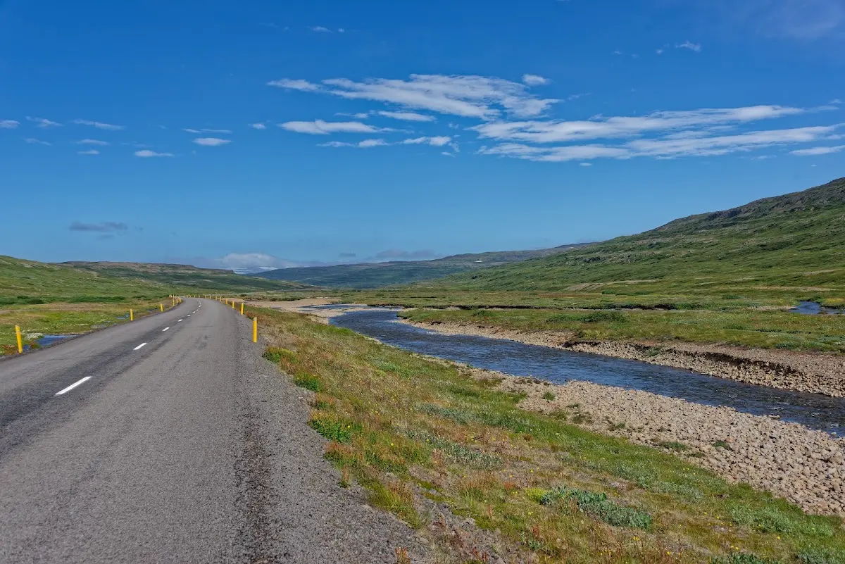
Now began the fjord landscape of the northern Westfjords; I had reached the Ísafjarðardjúp. Road 61 from Borðeyri via Hólmavík to Ísafjörður, which mostly winds around the fjords (and does not cut across passes in the hinterland), is also called the Djúpvegur.
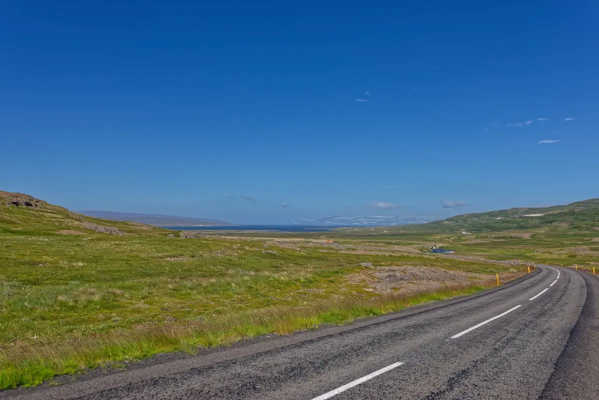
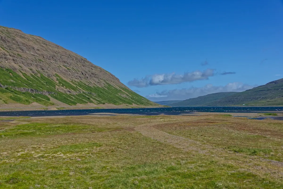
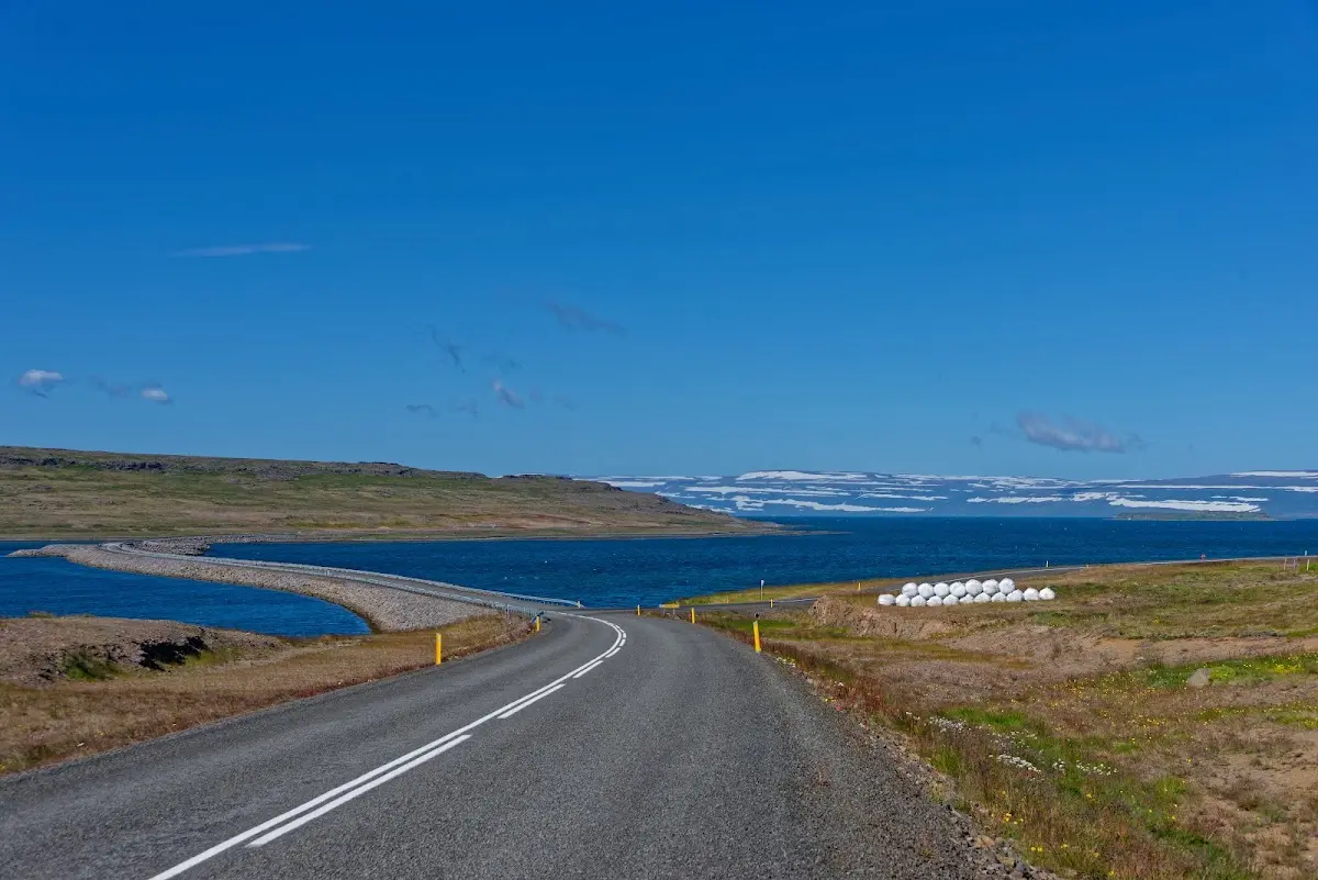
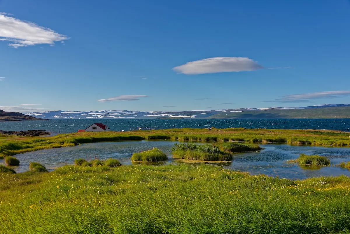
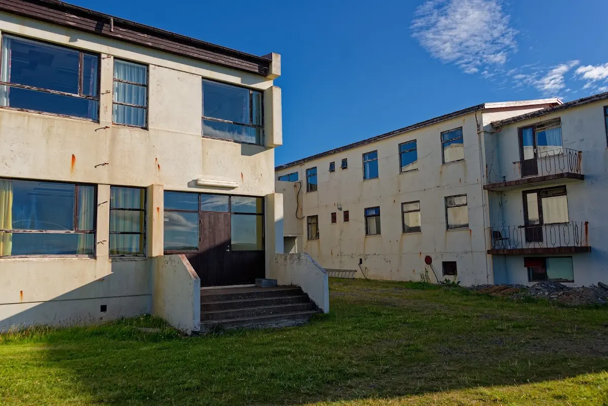
In Reykjanes, right on the shore of the Ísafjarðardjúp, I stayed the night on the campsite belonging to a hotel. The hotel was apparently opened in an old school and looks rather run-down from the outside; the interior was clearly better.
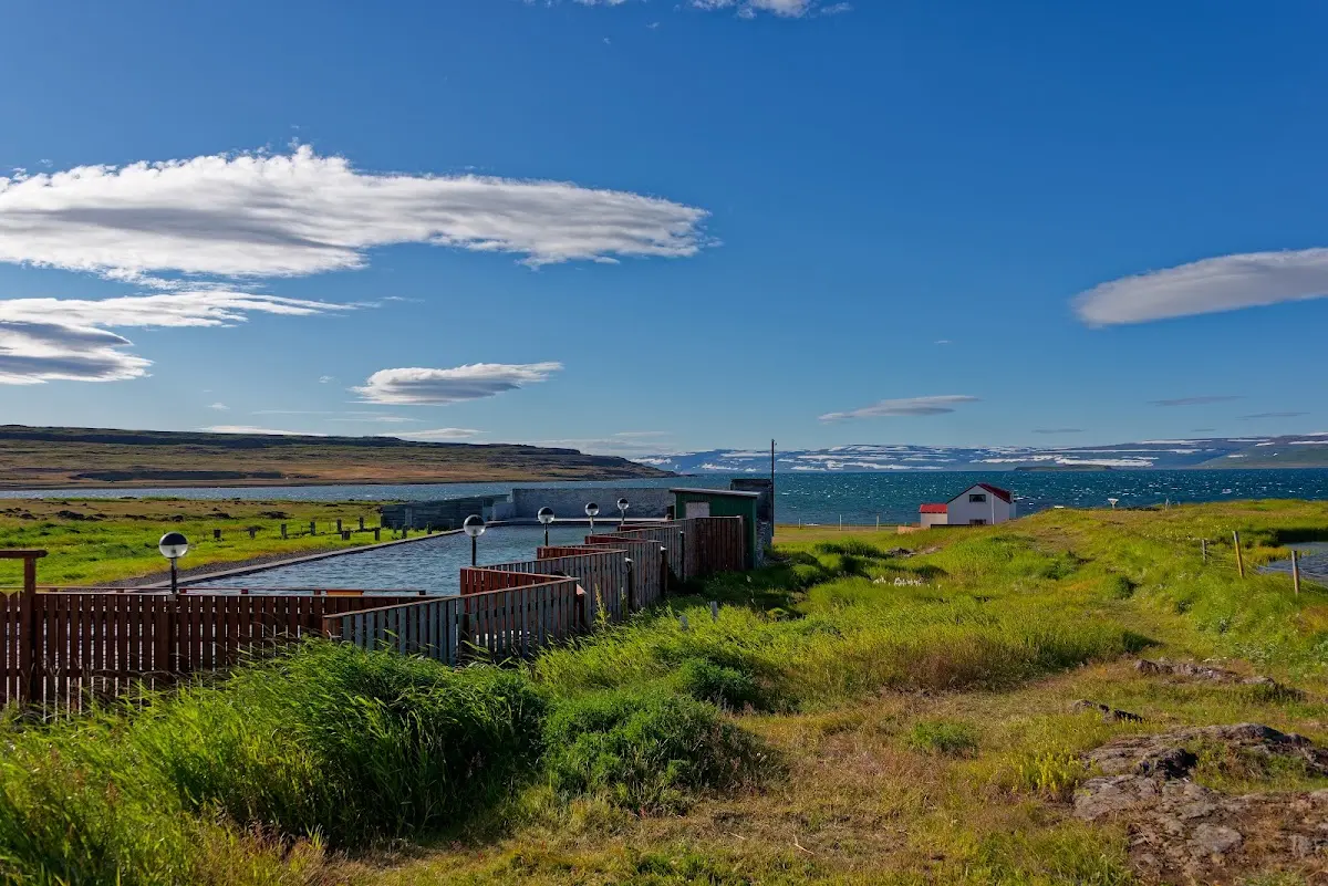
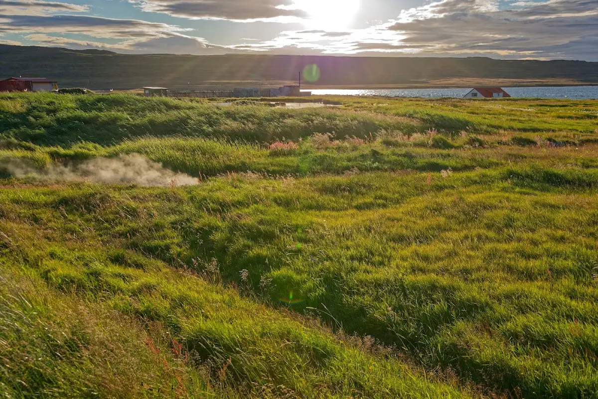
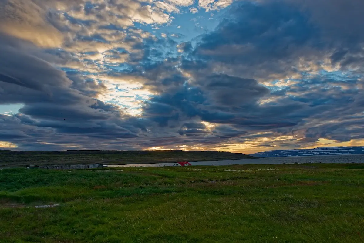
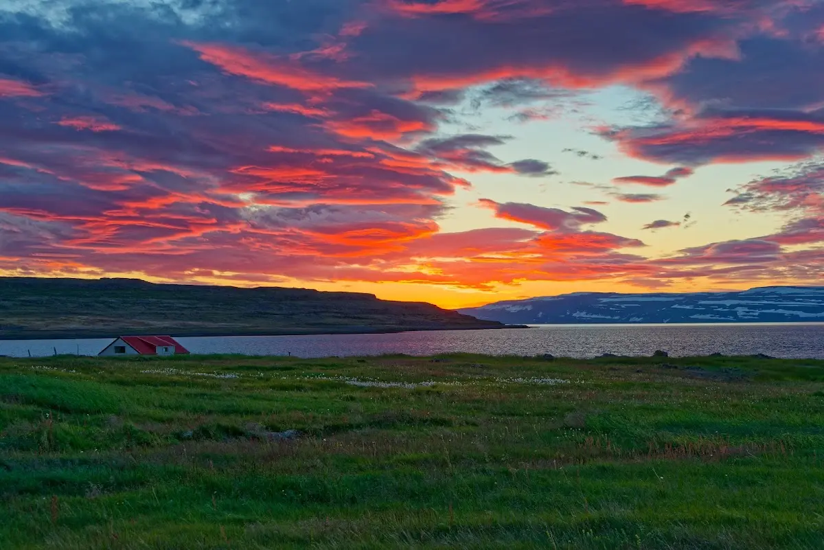
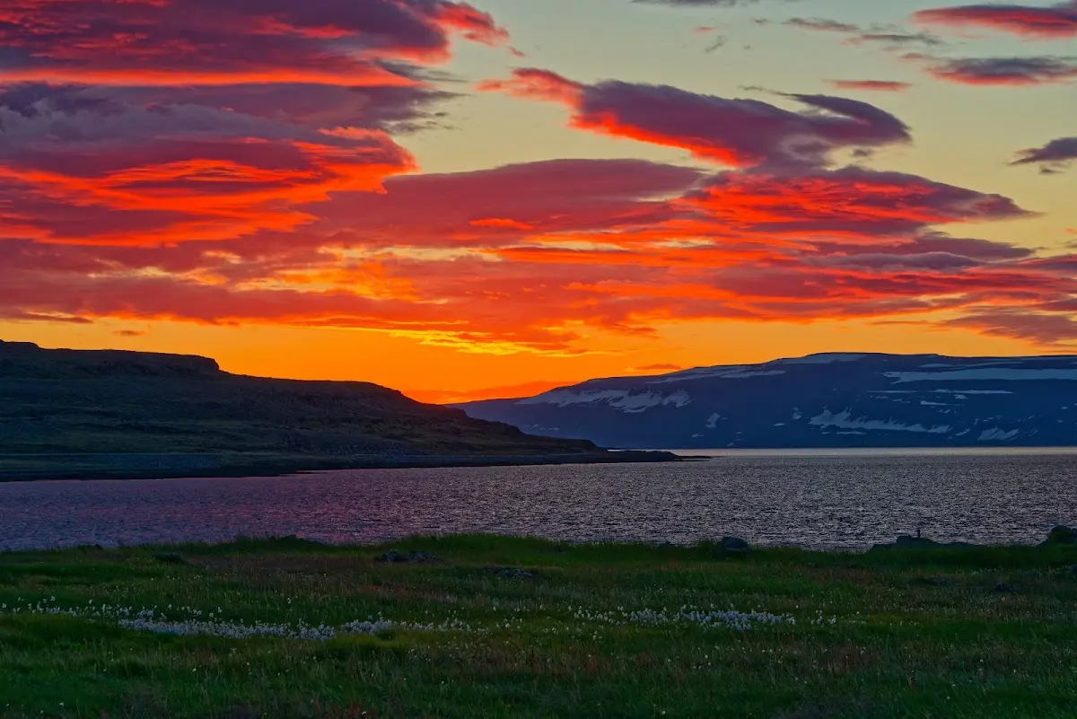
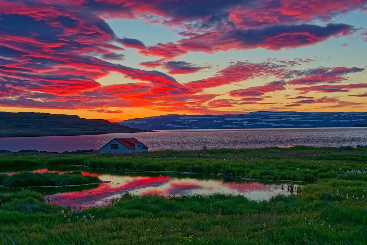
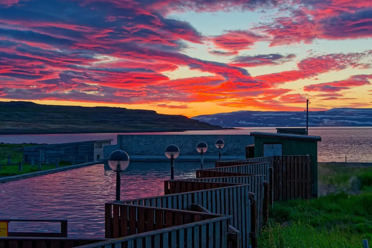
The complex also included a 50 x 12 m hot pot heated by a nearby geothermal area.
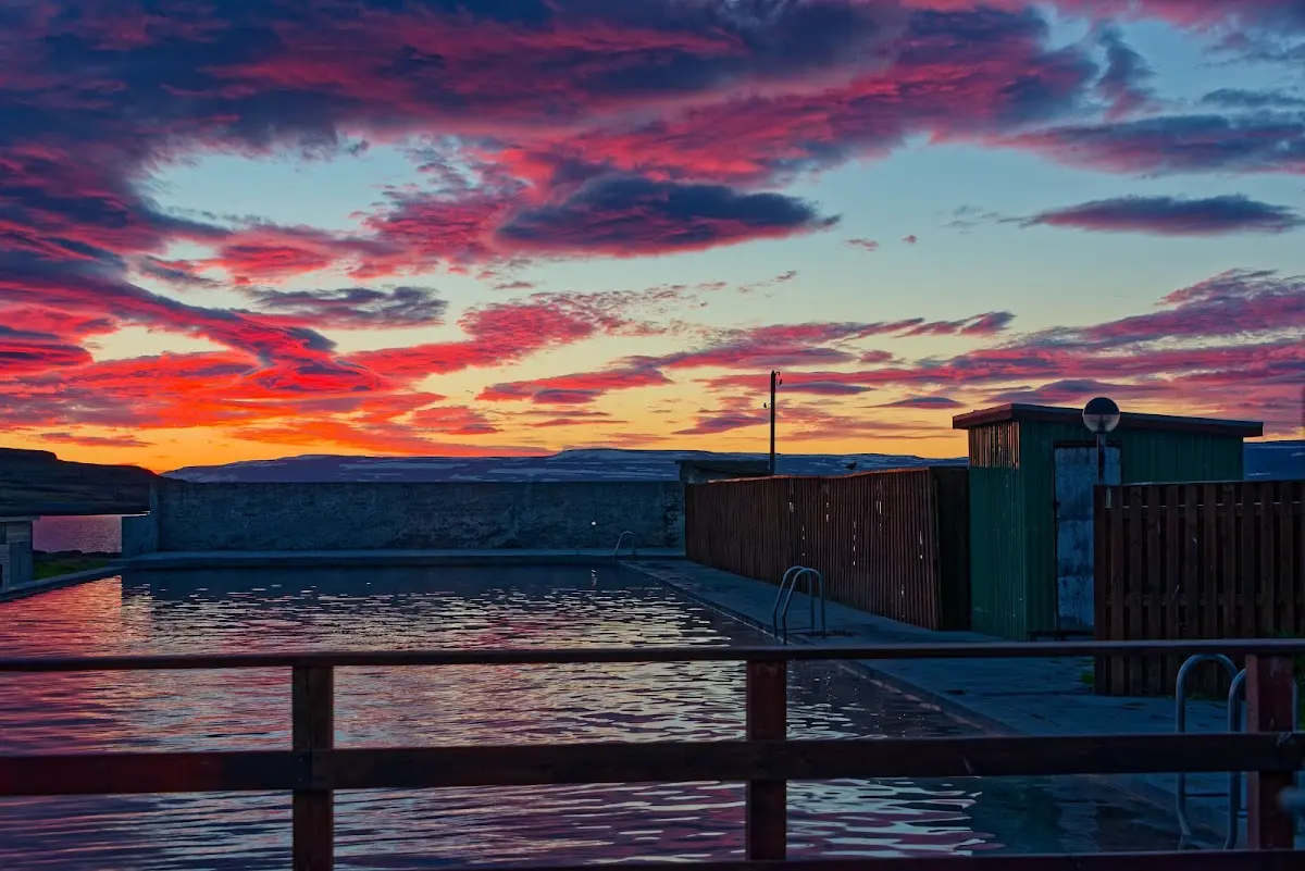
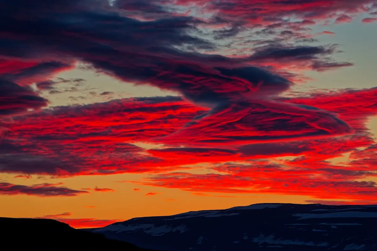
The next day was a stroke of luck weather-wise: sunshine and practically no wind, I wound my way out and in, always along the sea, to Ísafjörður.
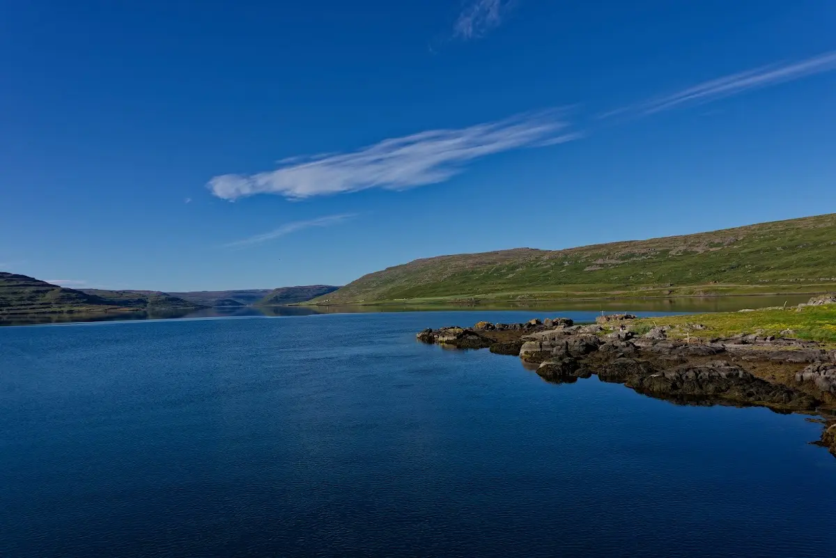
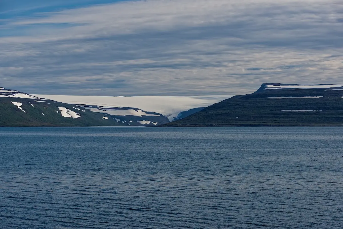
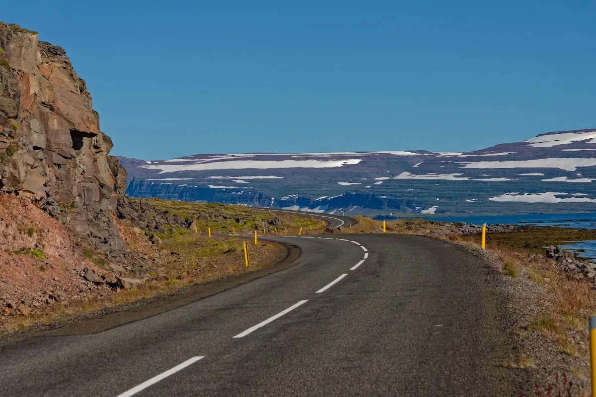
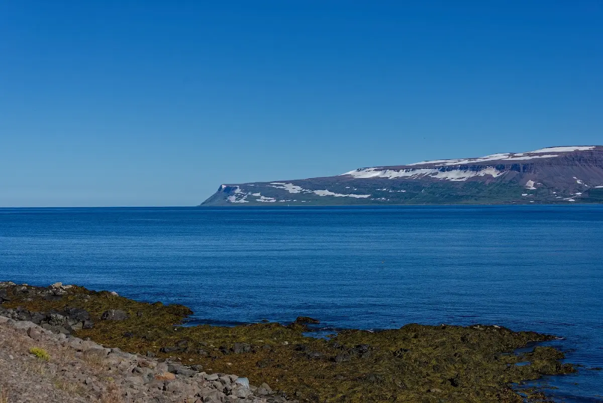
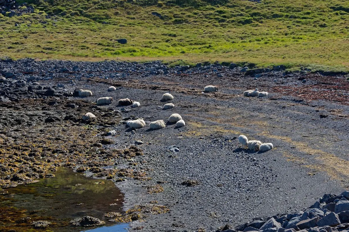
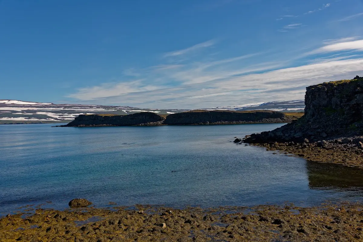
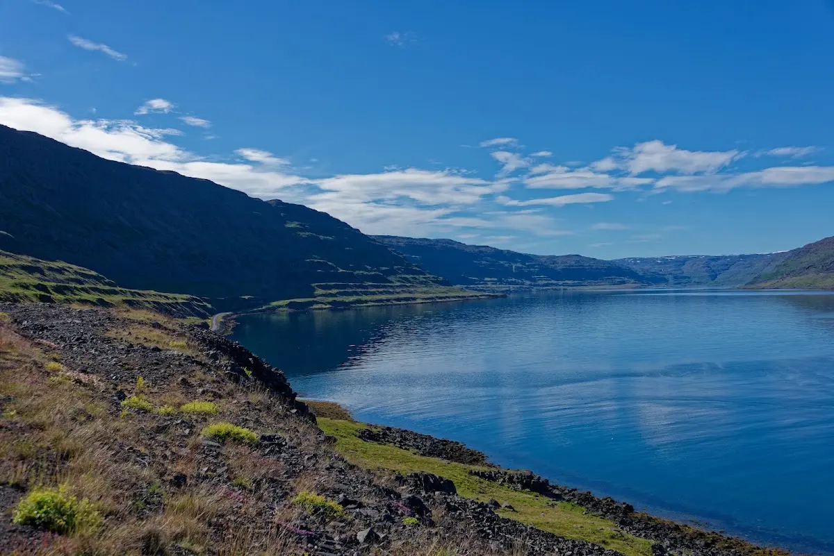
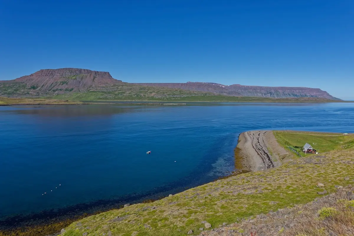
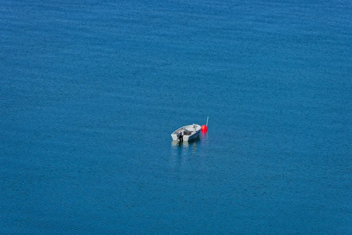
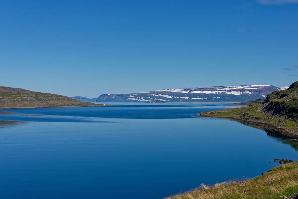
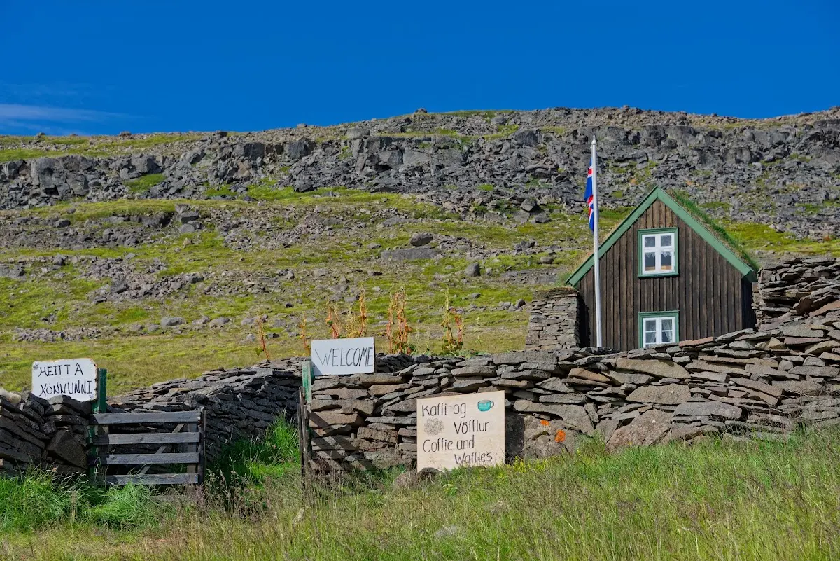
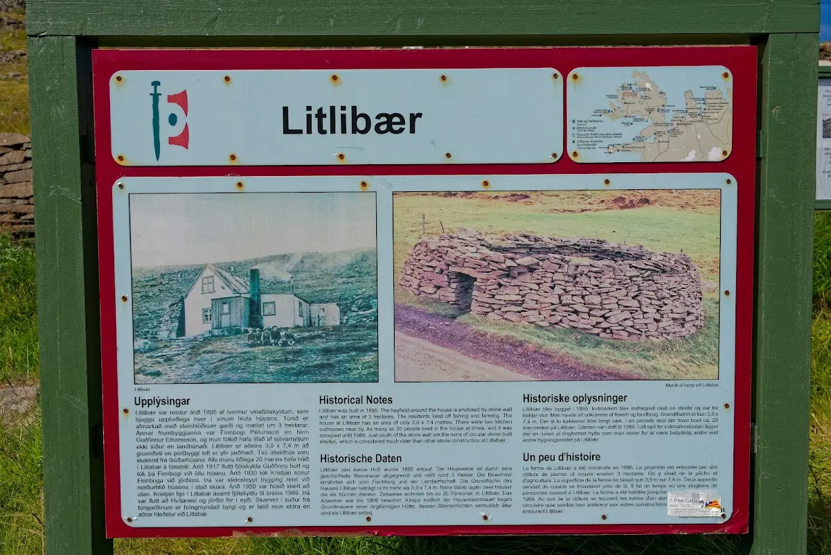
On the way I passed one or two houses that offered coffee and cake. That is how I got a nice breakfast in the morning. Otherwise in Iceland an opportunity often only arose at midday.
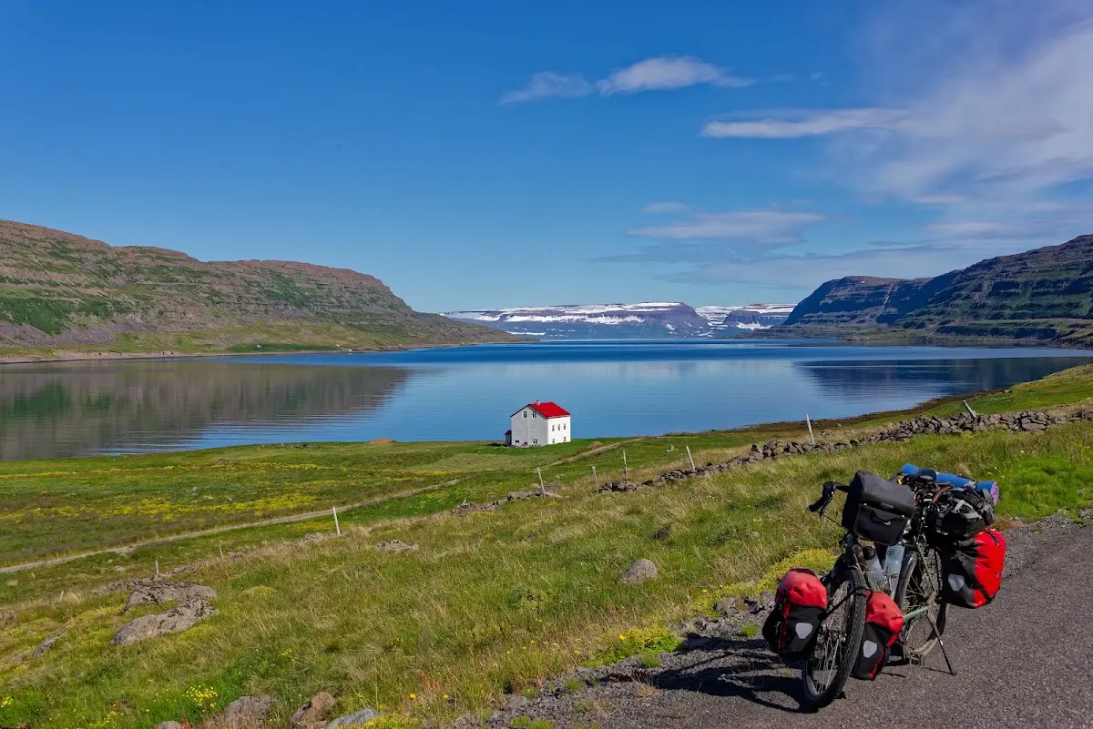
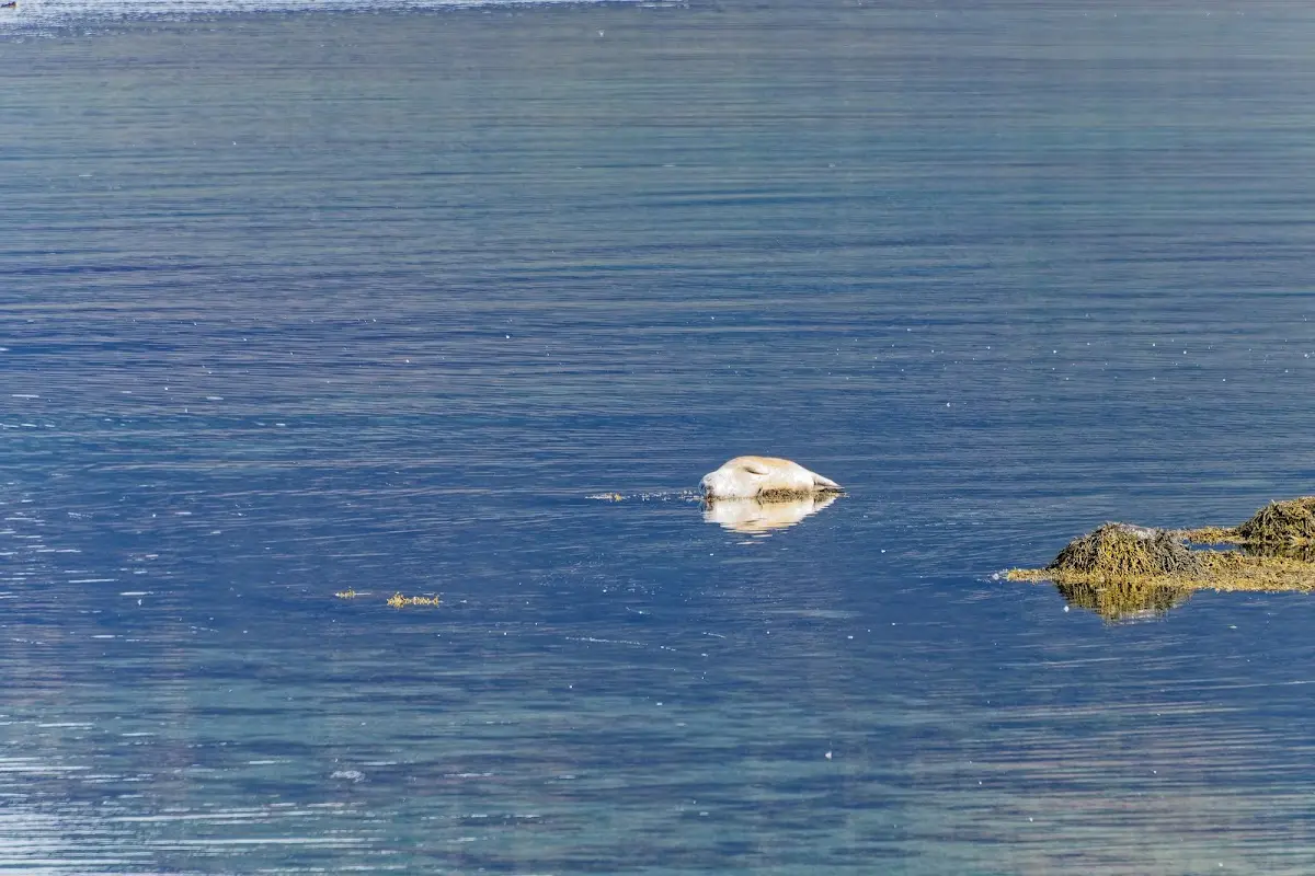
A few seals were also lounging in the sea.
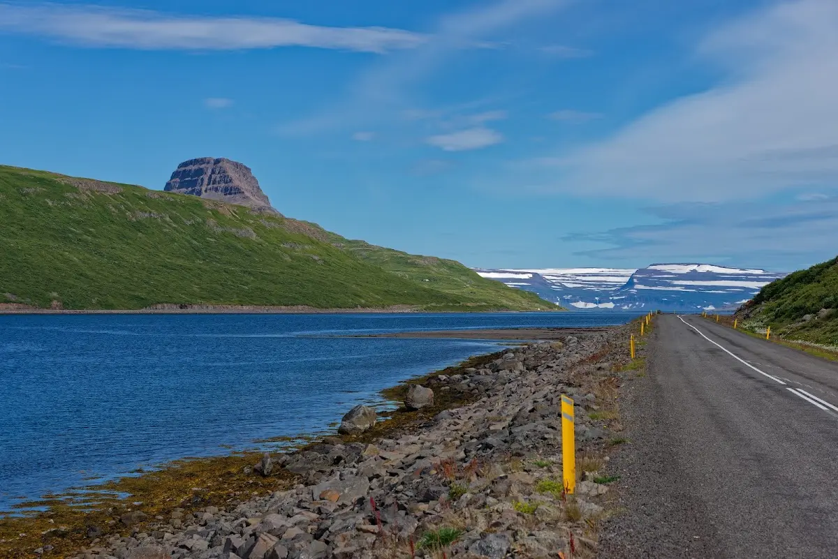
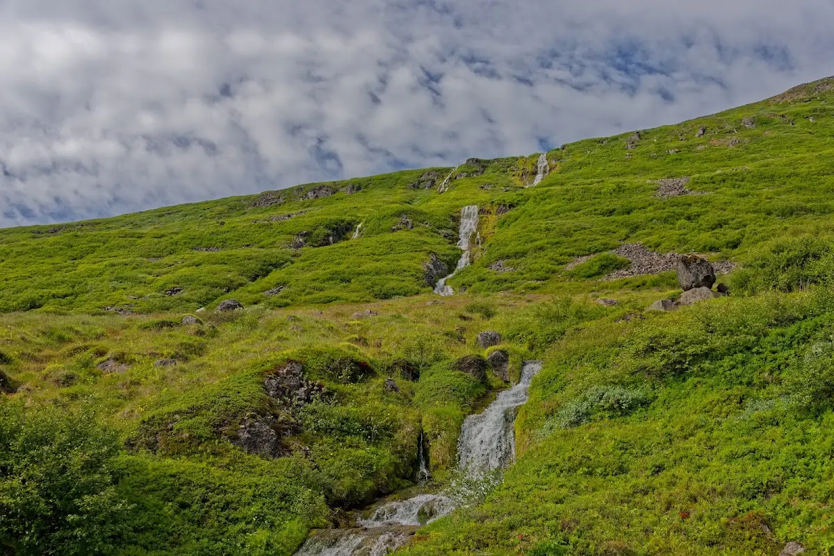
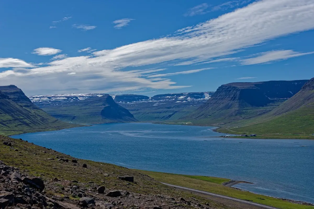
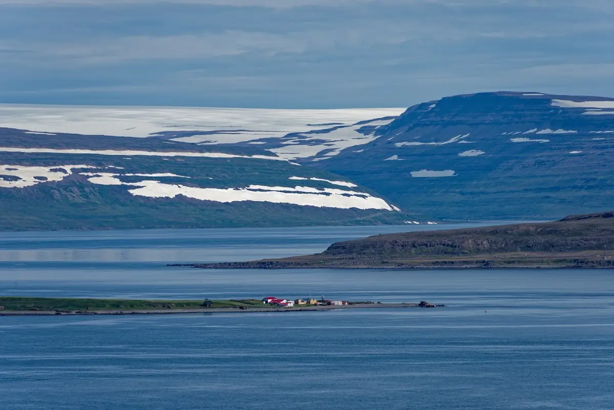
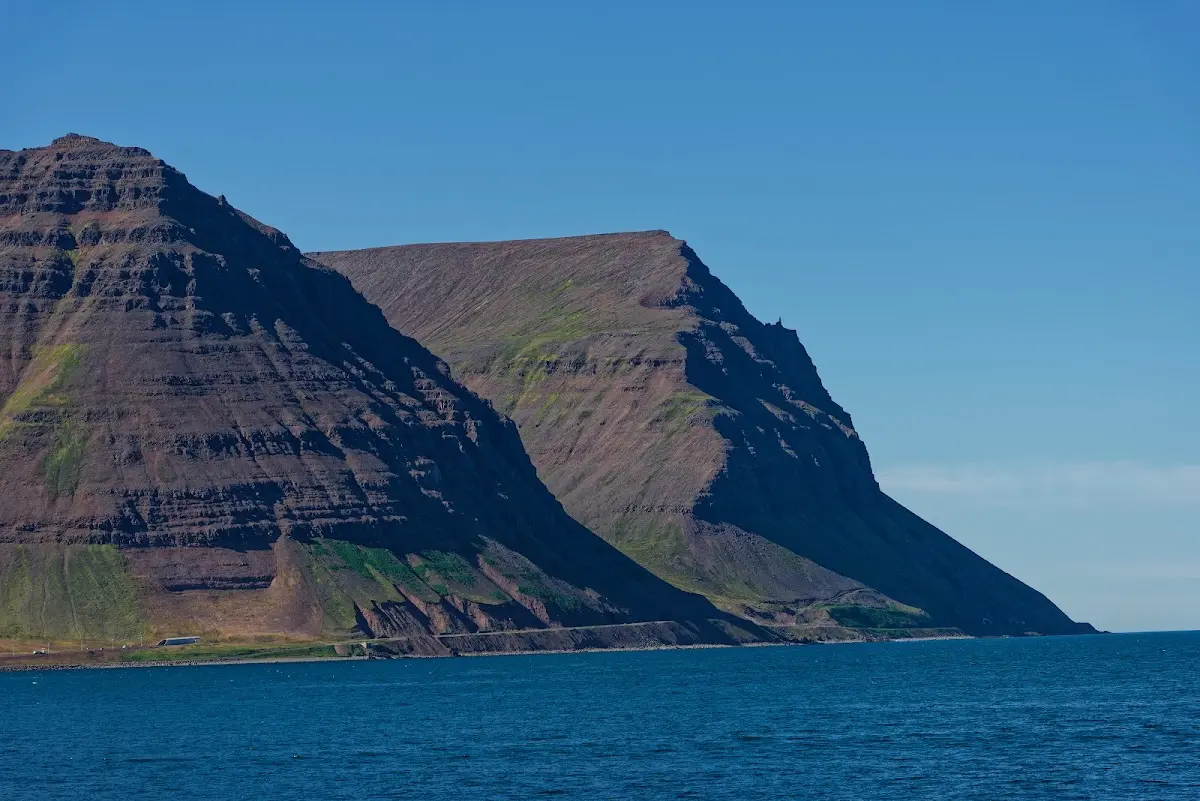
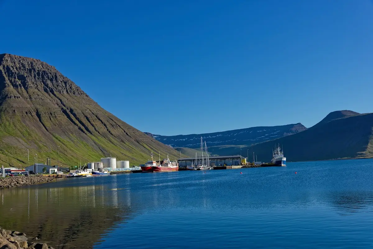
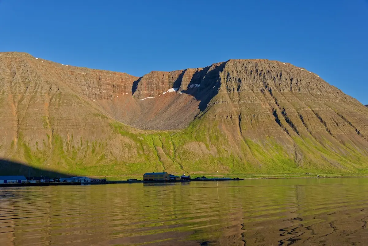
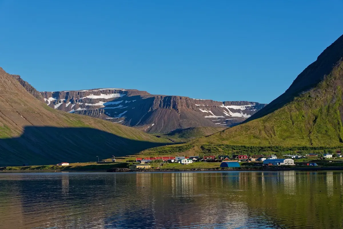
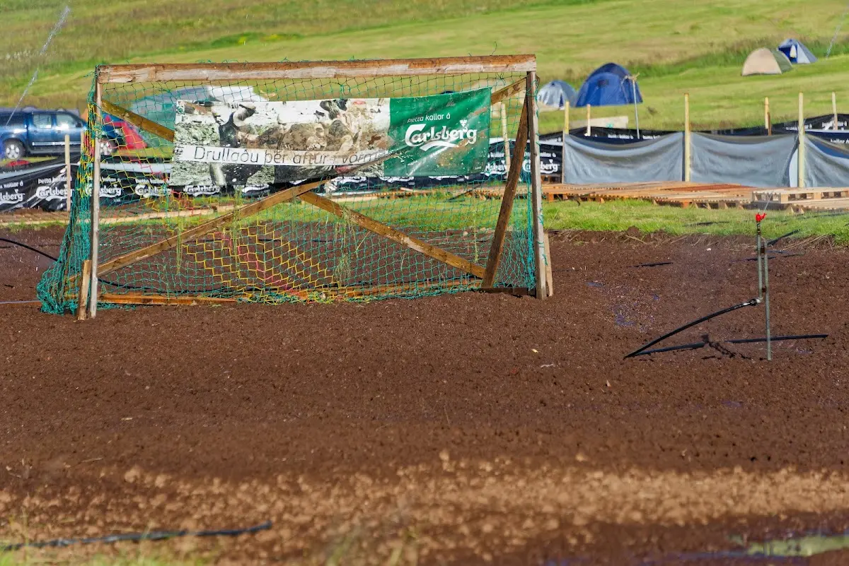
The town of Ísafjörður lies on the Skutulsfjörður between Eyrarfjall (731 m) and Kirkjubólsfjall (832 m), and I happened to be there at the time of the European Swamp Soccer Championships, venue: “my” campsite. A short search on YouTube turned up, among others, this video so you can get an impression.
From Ísafjörður there is also a boat connection to the Hornstrandir peninsula, where it gets really lonely in places, and that might be an exciting project on foot some day...
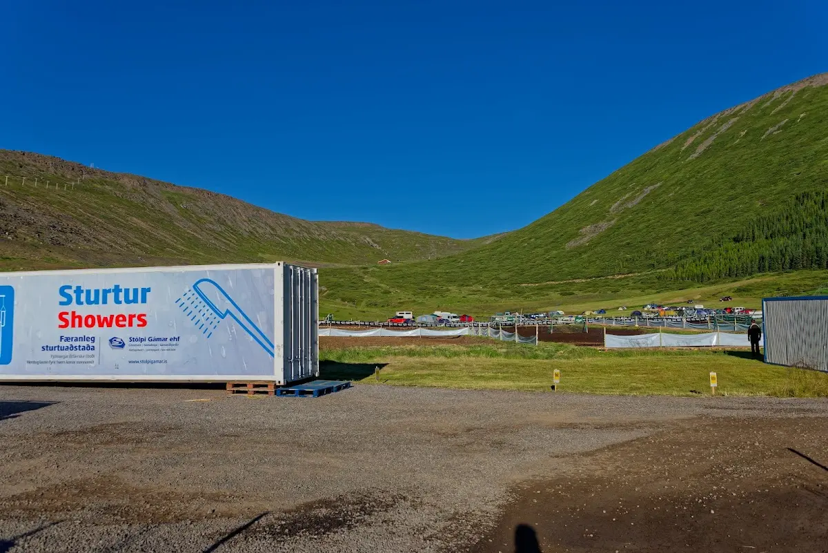
From now on it went south, and as I rode my bike towards the 9 km long tunnel Vestfjarðagöng, which connects Ísafjörður with Flateyri, I saw a small road turning off to the left, the old road over the Breiðadalsheiði. First impression: good, paved, obsolete only since 1996, why not...
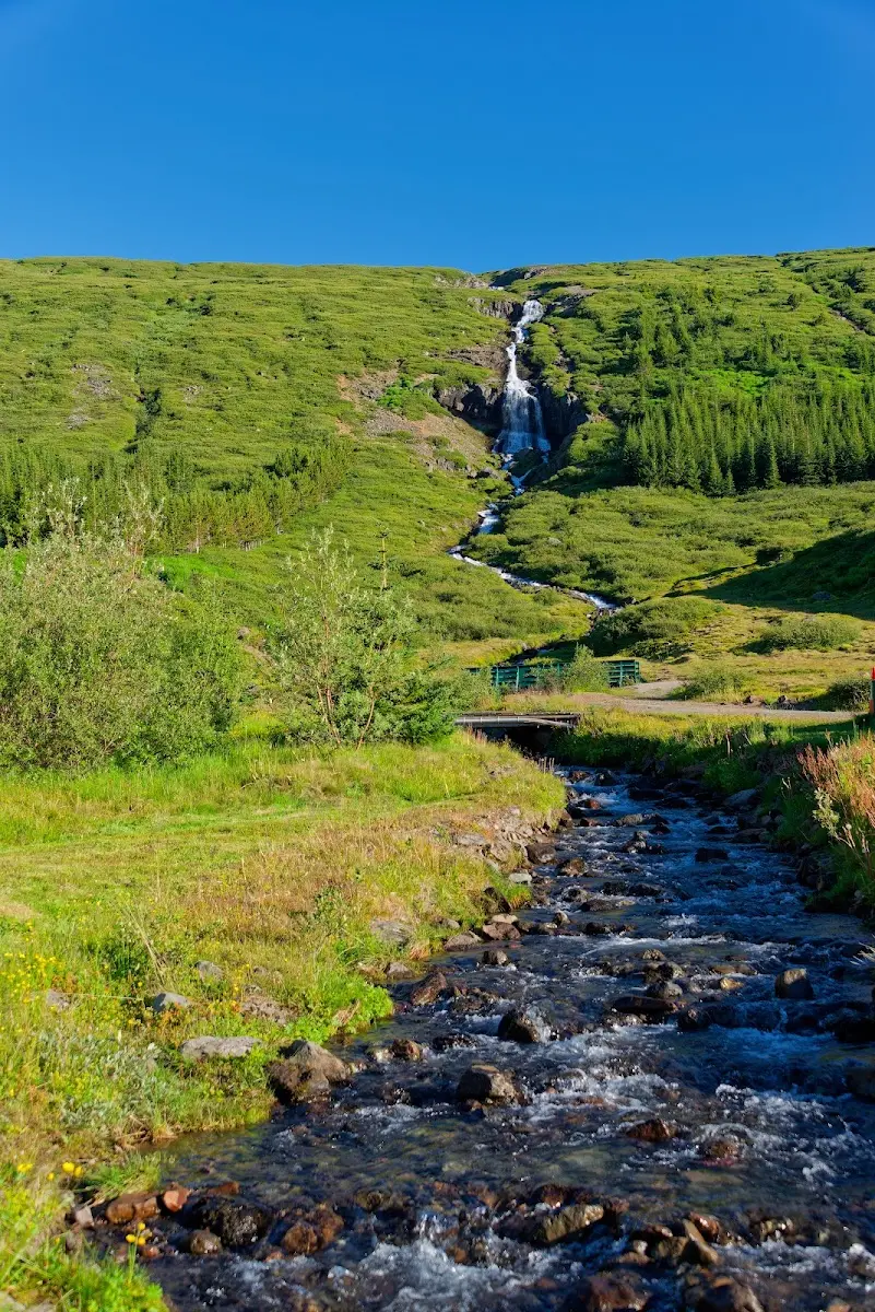
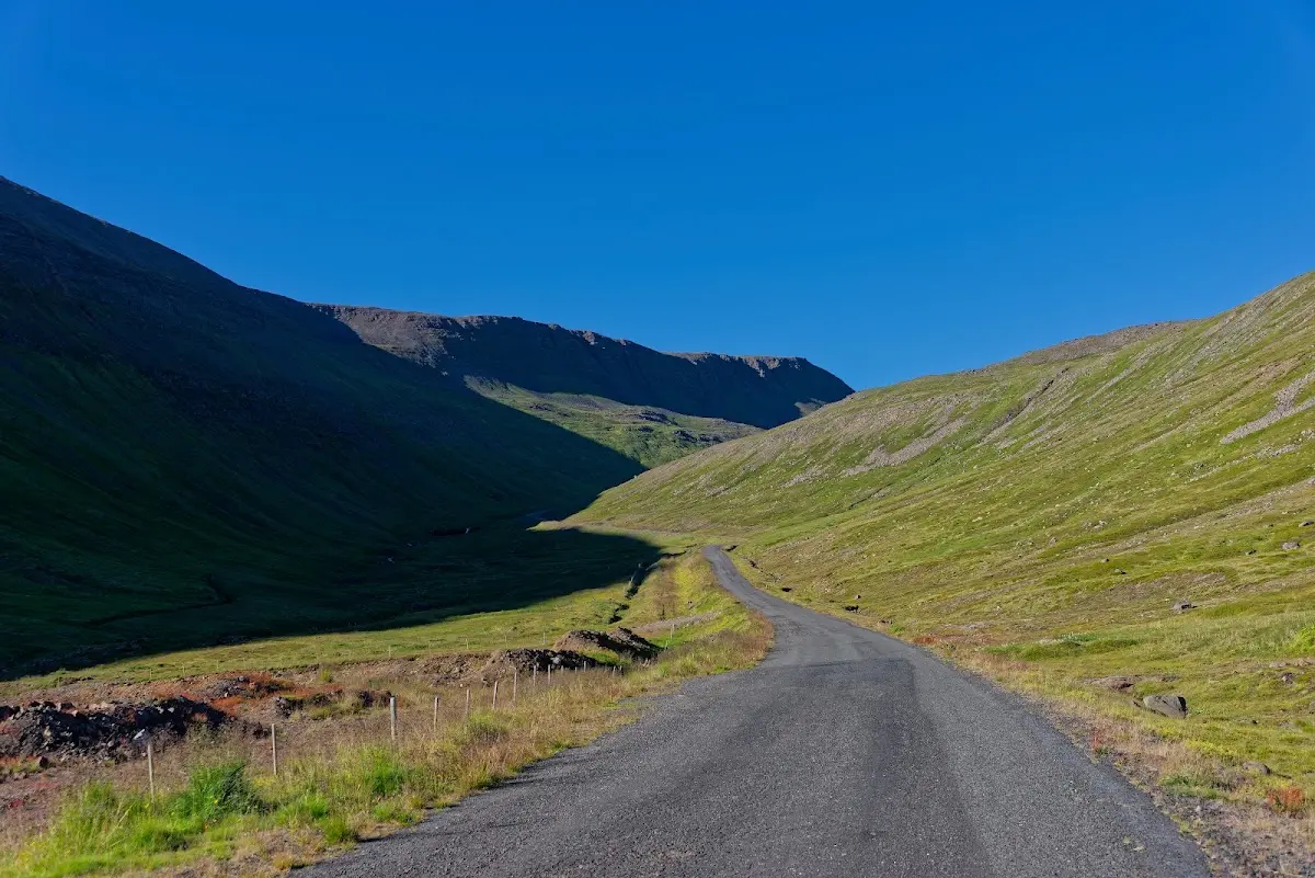
The asphalt ended quite soon and the road became increasingly bumpy and steep;
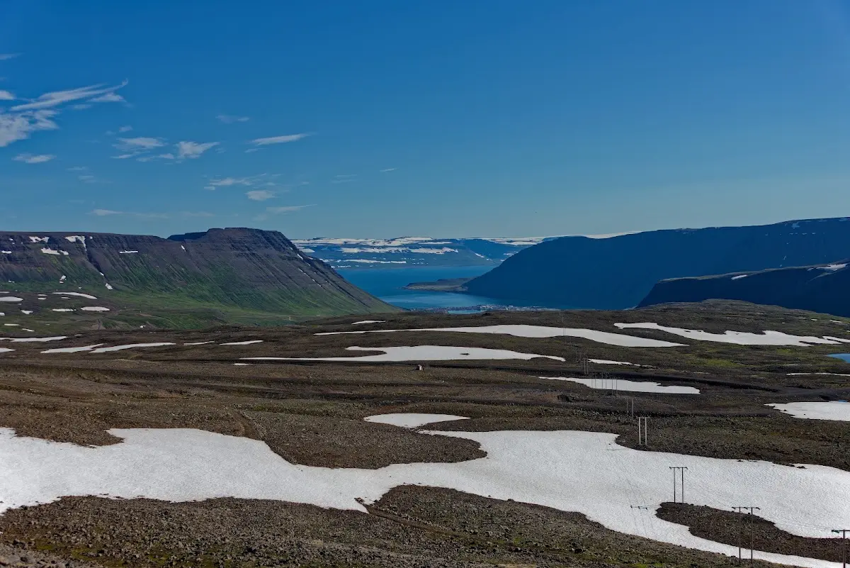
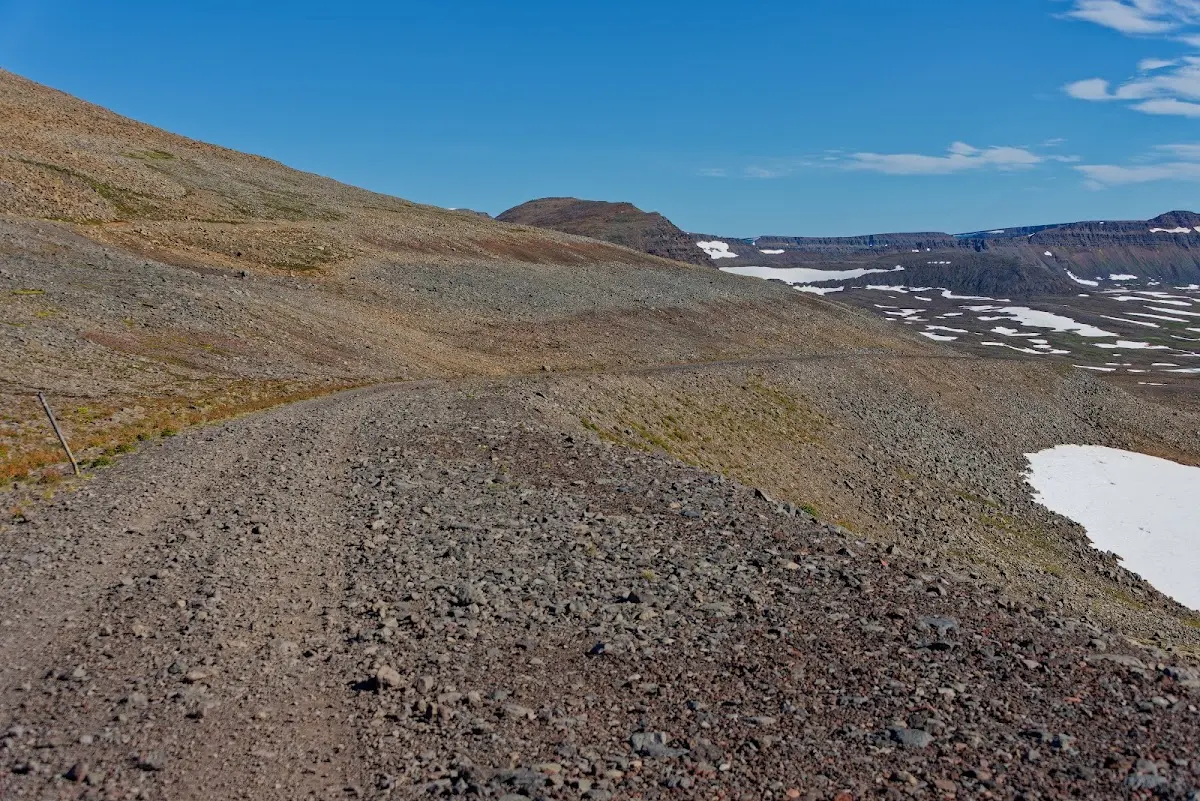
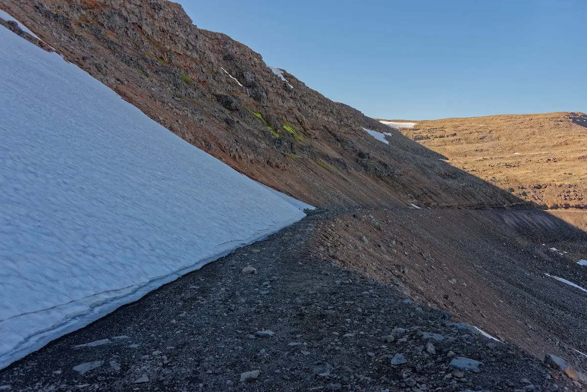
as soon as I had passed the summit a snowfield narrowed the road considerably and a massive rockfall made it necessary to carry the bike in parts.
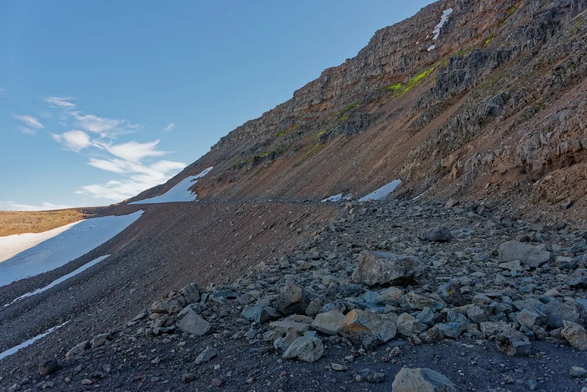
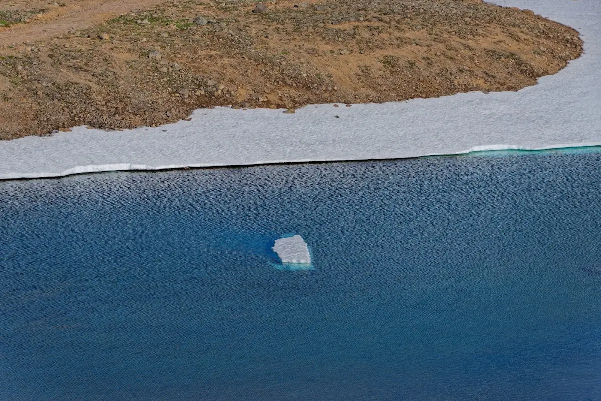
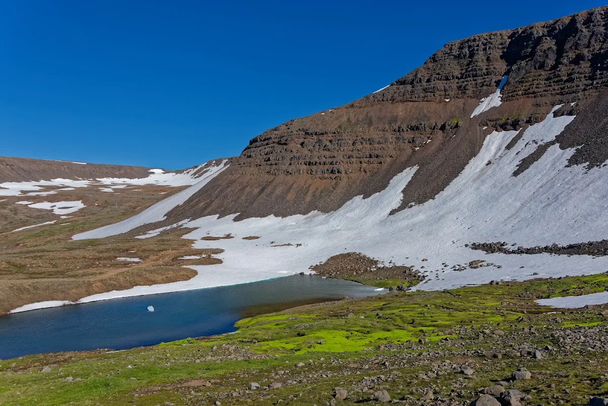
At least the view was good, as hoped, but I would not recommend this route without reservations.
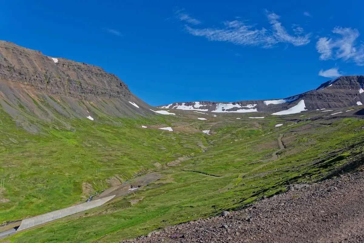
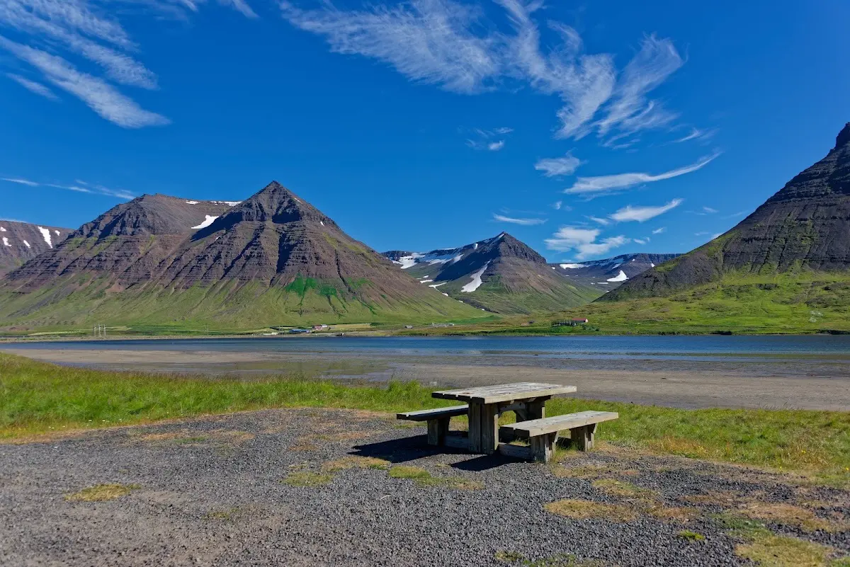
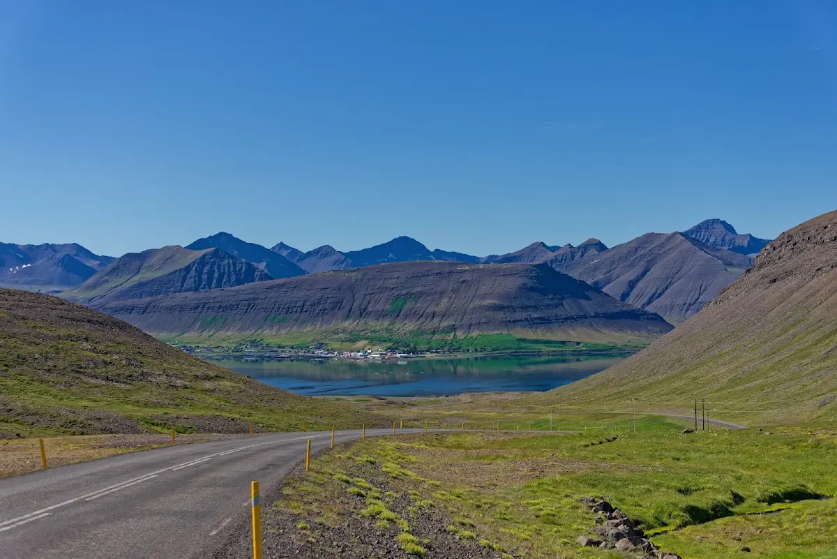
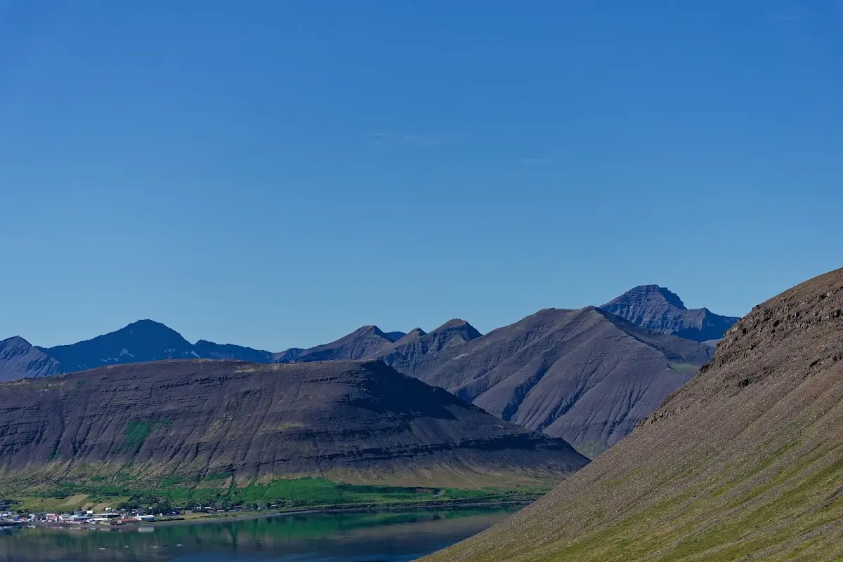
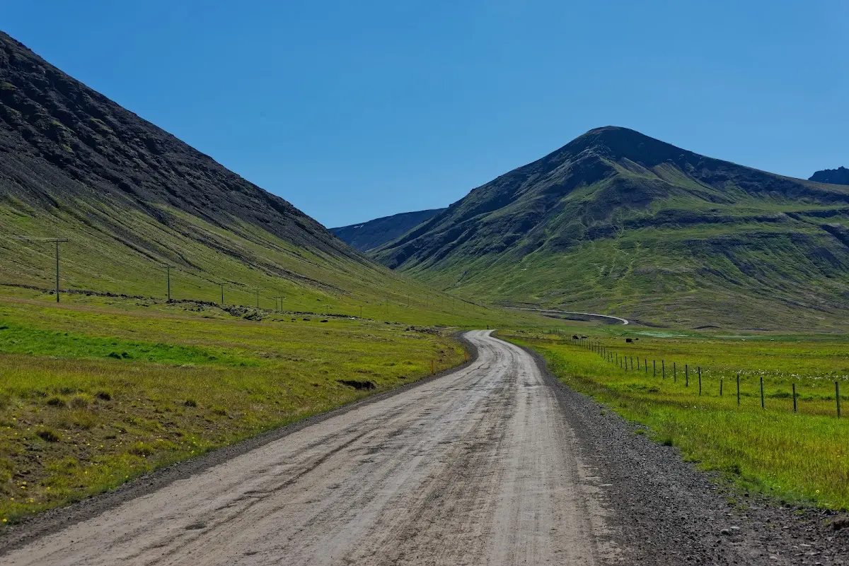
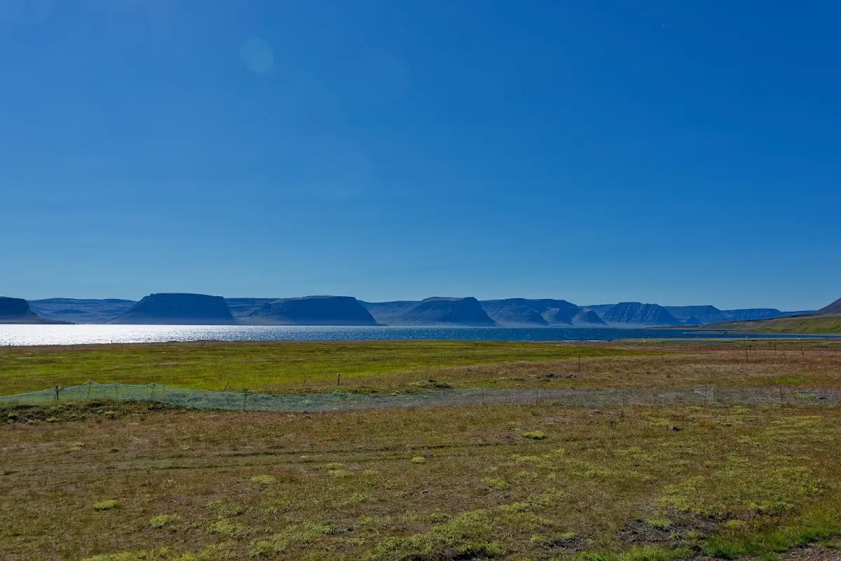
The day stayed sunny and more passes were waiting for me today: over the Gemlufallsheiði I first rode to Þingeyri on the Dýrafjörður and on over the Hrafnseyrarheiði into the Eagle Fjord, Arnarfjörður, whose north shore is lined with glacier-shaped mountains of gabbro and rhyolite. The road here in the Westfjords is only partly paved, but clearly better to ride than highland tracks, no comparison.
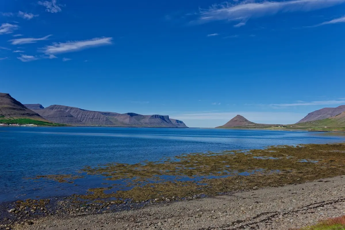
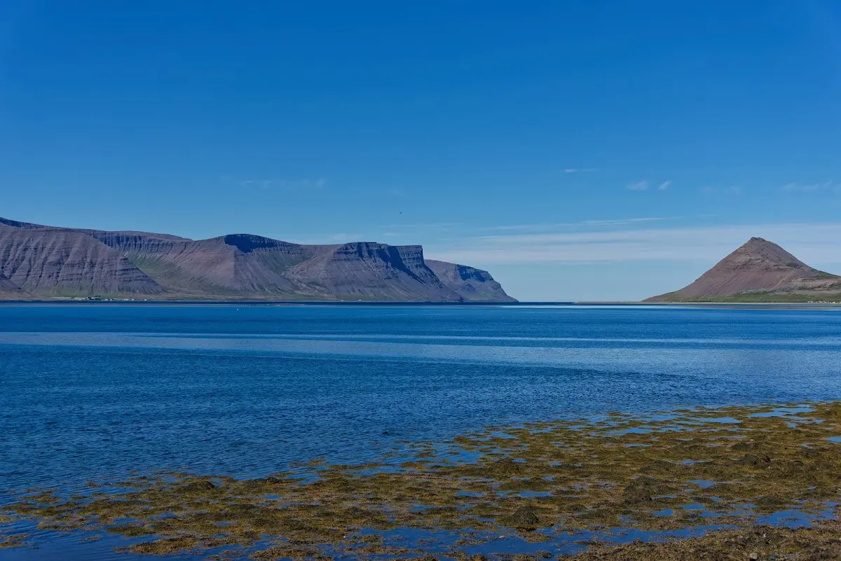
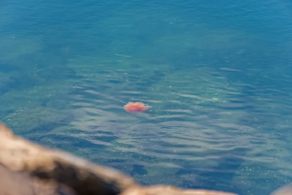
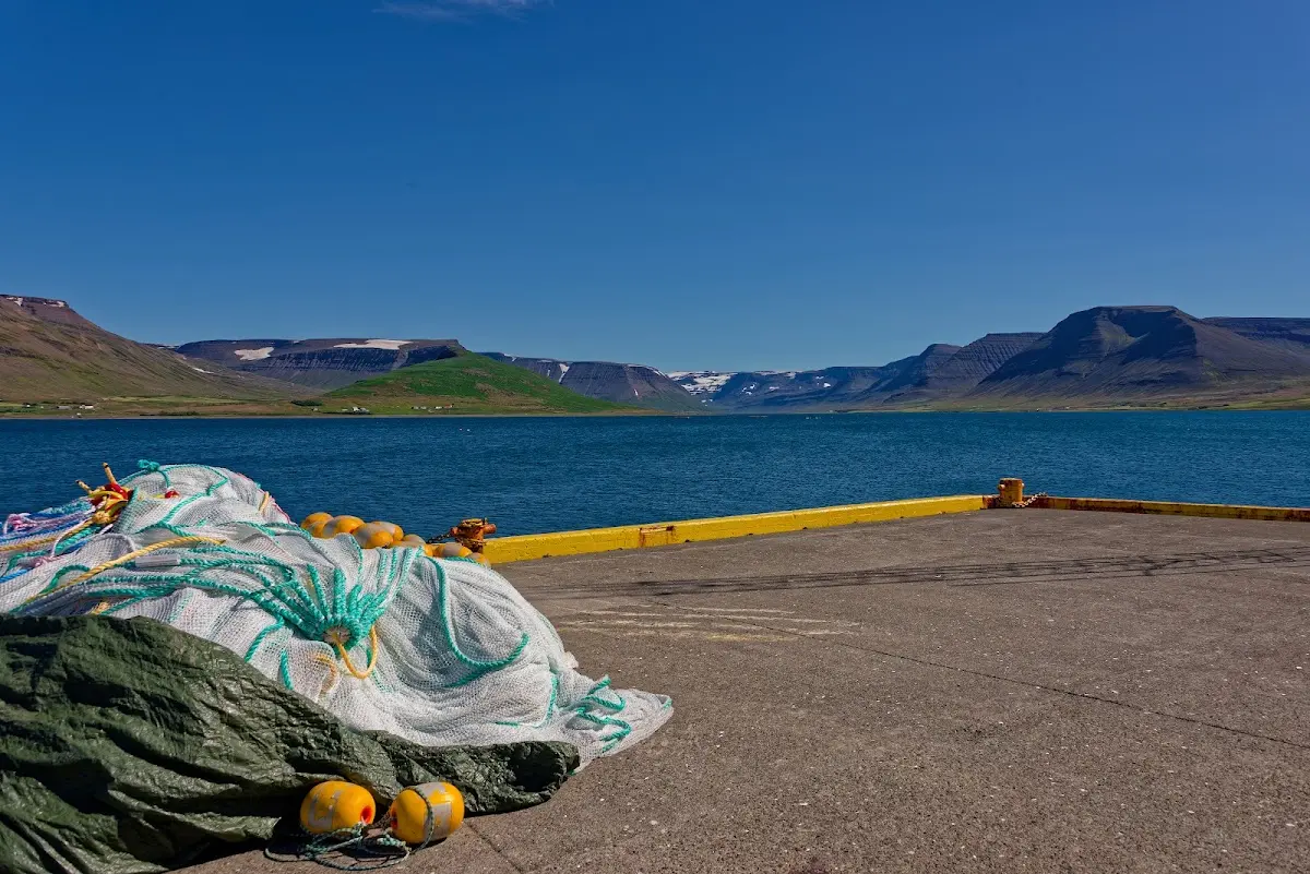
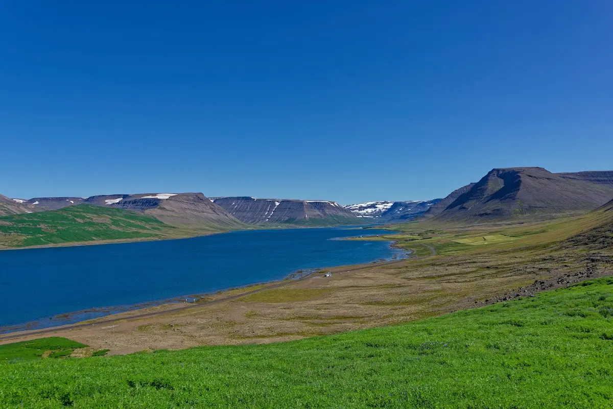
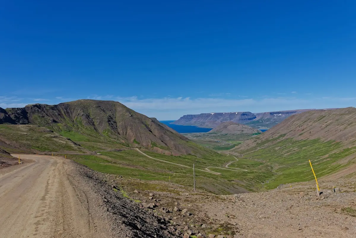
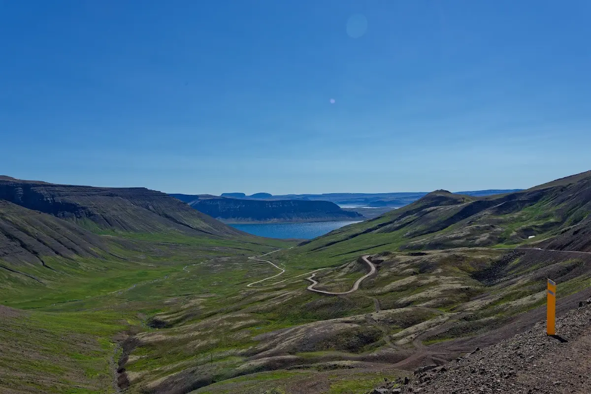
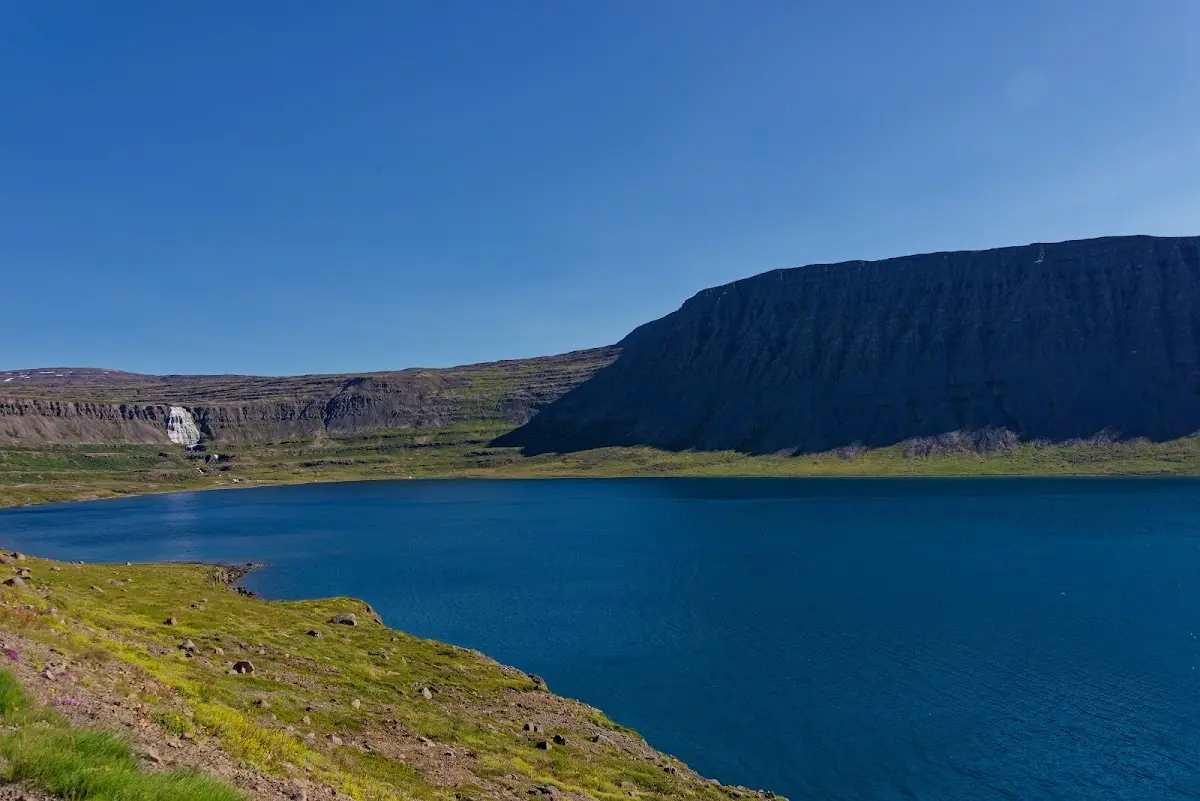
Quite early in the day I reached the Dynjandi waterfall, already visible in the background in the picture at the bottom right.
17 Dynjandi waterfall
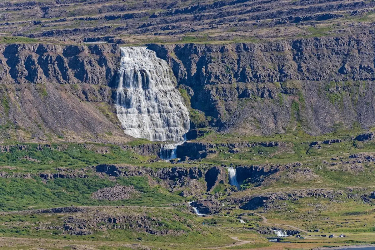
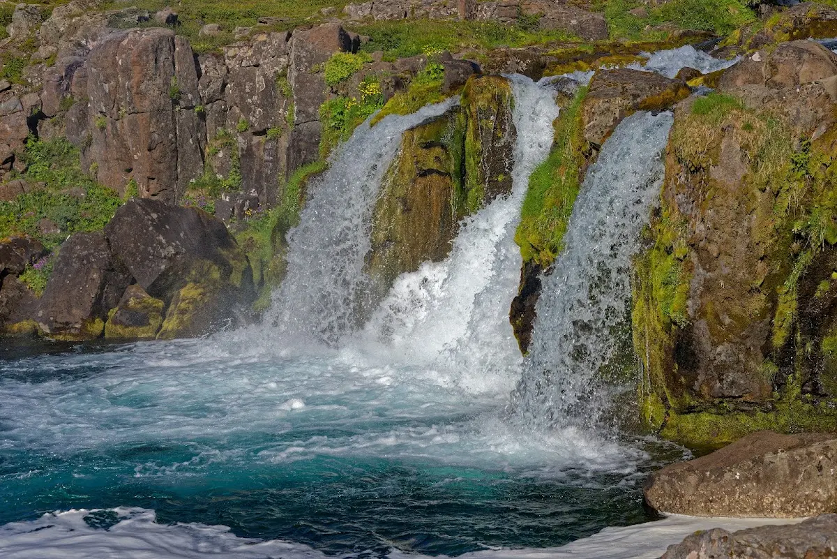
“Dynjandi” means roughly “the thundering, raging one”, and consists of several waterfalls one after another; after the big Fjallfoss follow Hundafoss, Göngufoss, Háifoss, Úðafoss and Bæjarfoss.
I used the nice weather to take a closer look at my bike; the many kilometres in the highlands had worn the brake pads down quite a bit. New brake pads, a bit of oil on the chain, checking the screws on the luggage racks and plucking a bit at the spokes of the wheels. I had no problems with the bike on the whole trip: no broken spoke, no puncture, nothing.
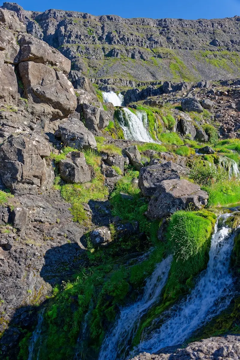
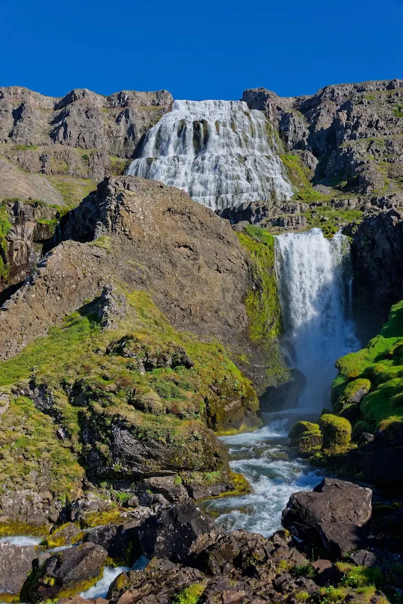
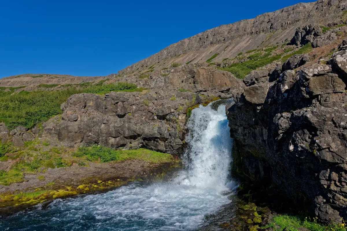
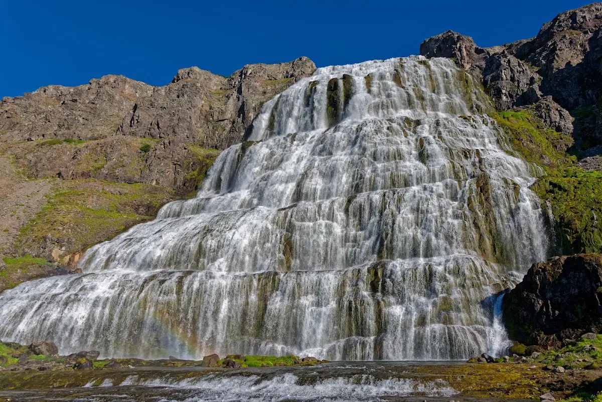
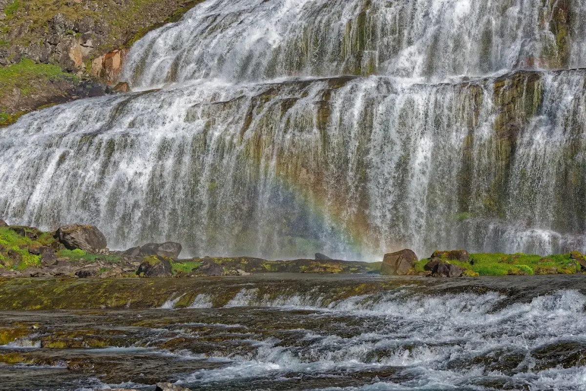
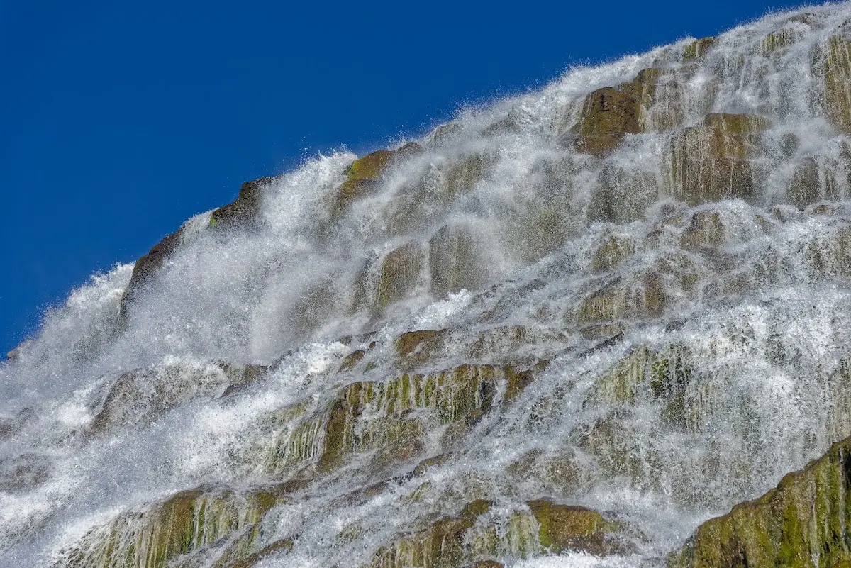
Late in the evening I visited the Dynjandi again and took some pictures with a long exposure time; at that time of day I no longer needed a grey filter for it.
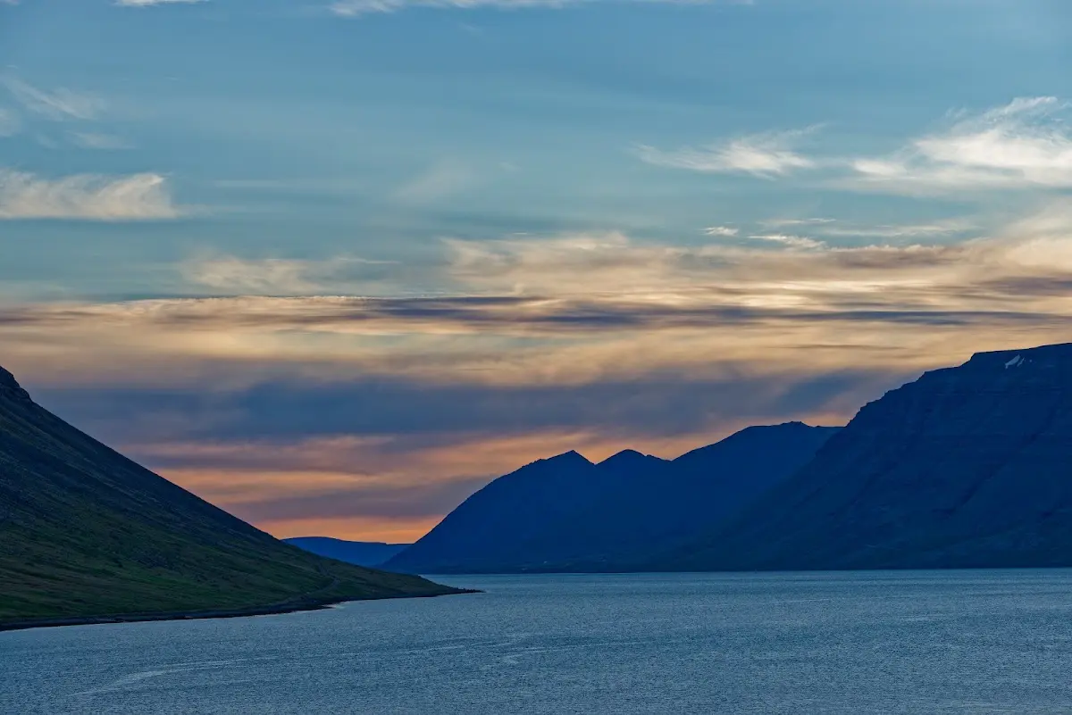
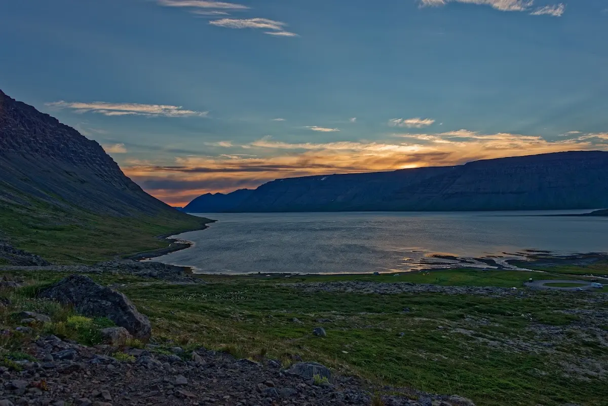
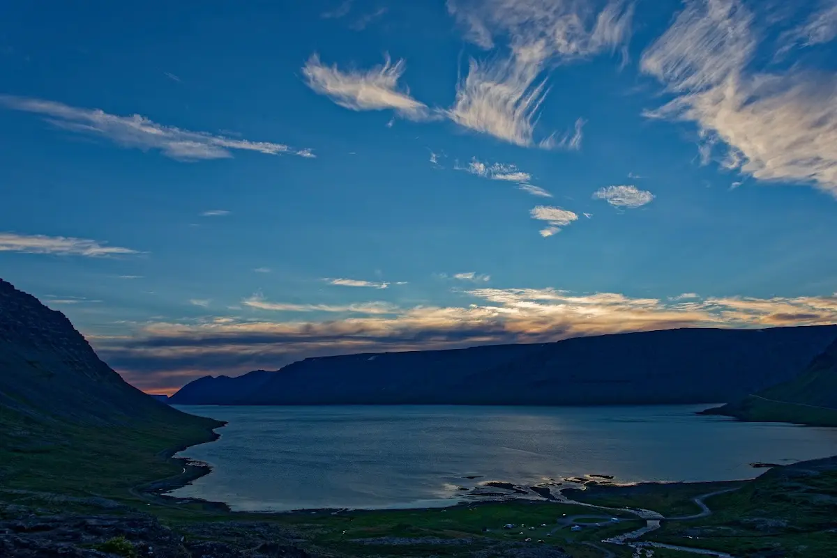
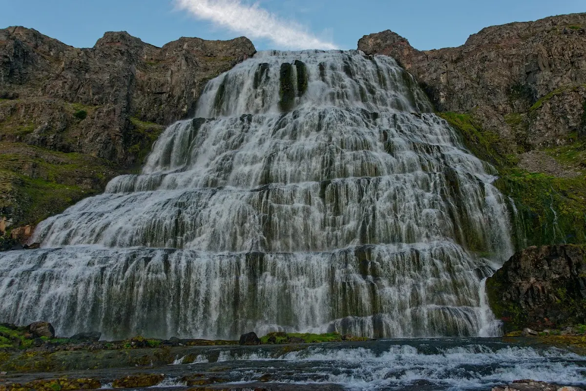
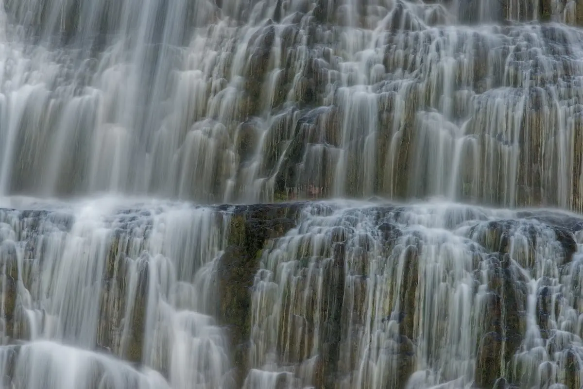
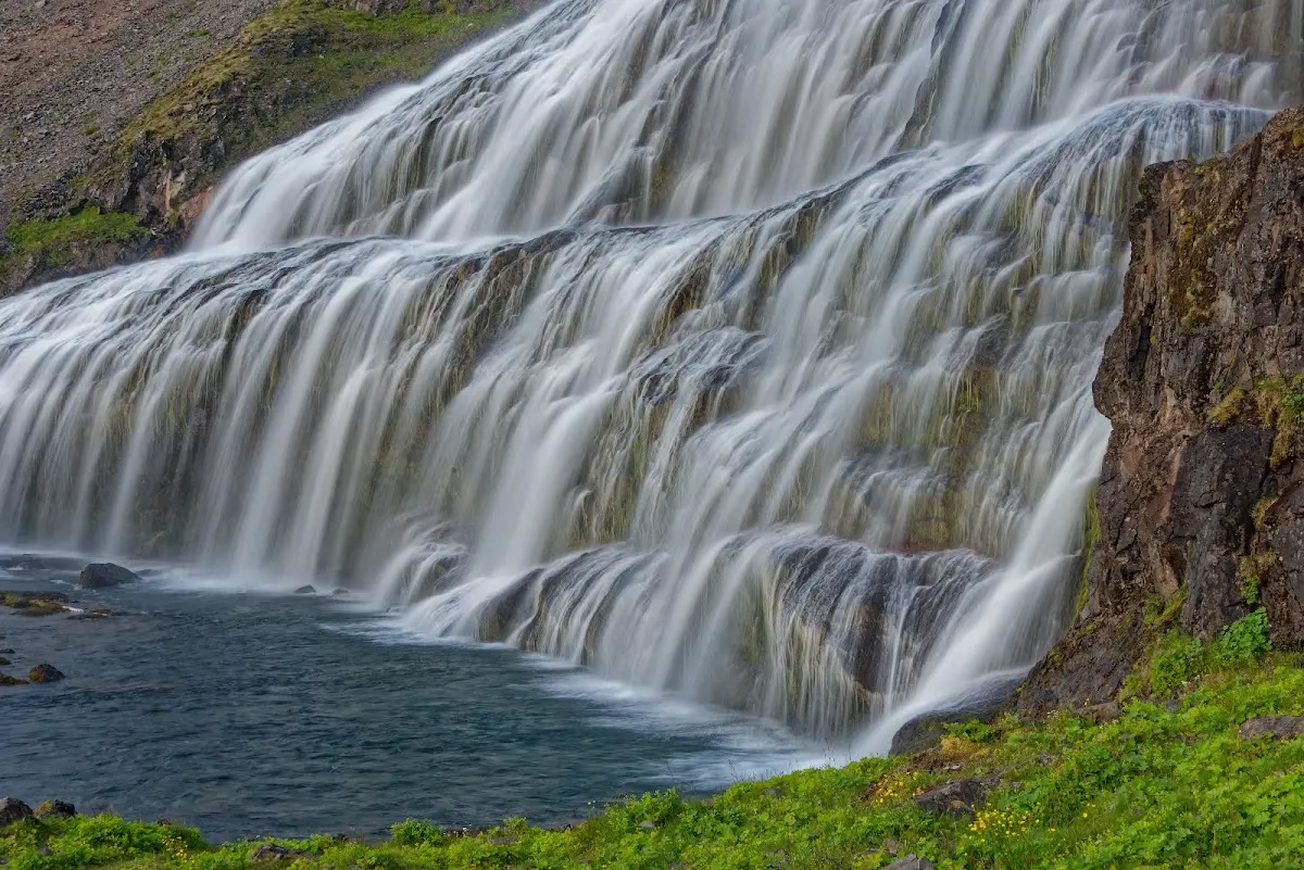
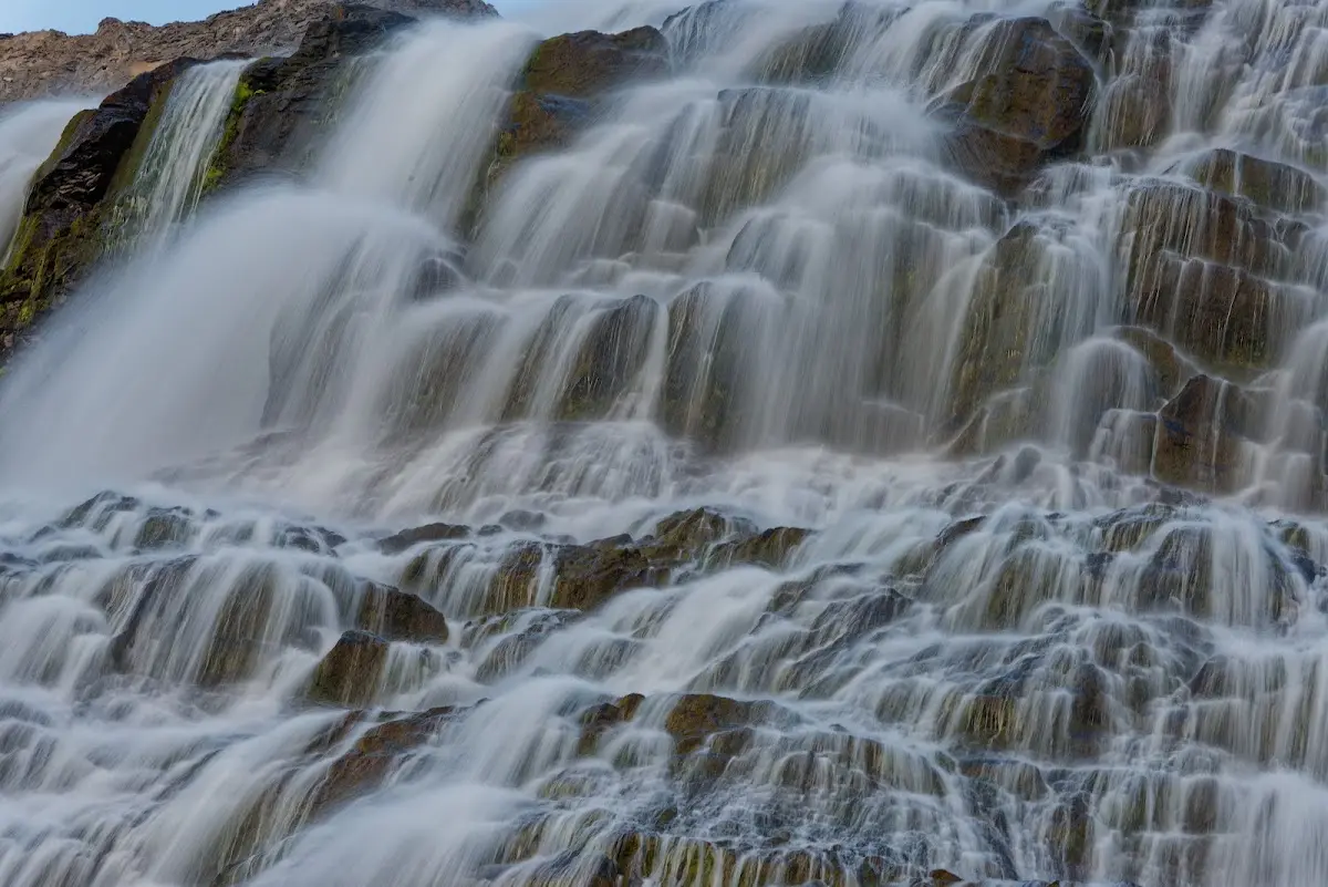
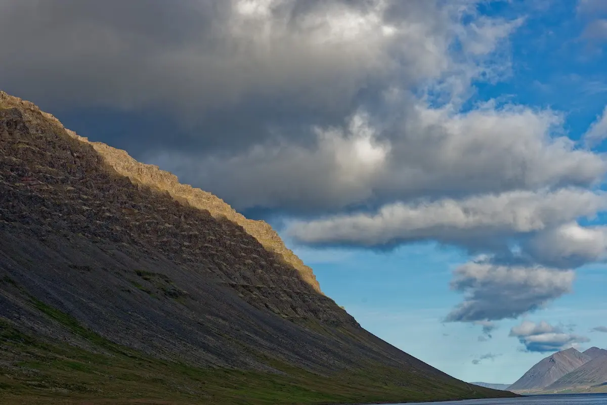
Under impressive cloud formations I rode the next morning to the summit Helluskarð and then on to Bíldudalur. All these days were quite relaxed, and at midday I found a café now and then and sat in the sun for an hour.
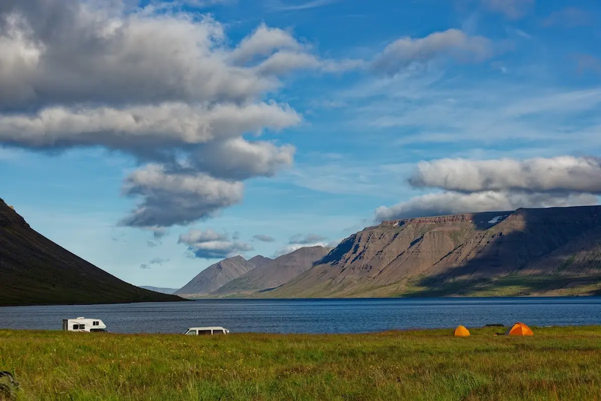
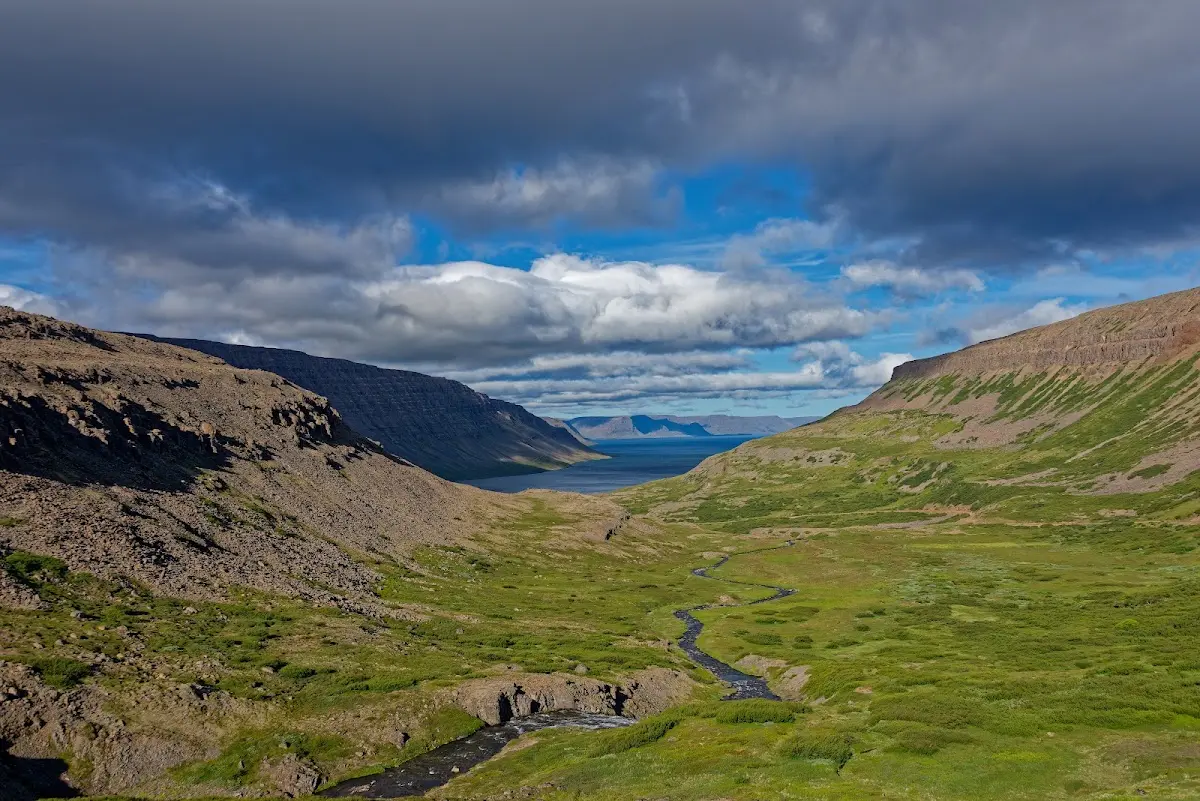
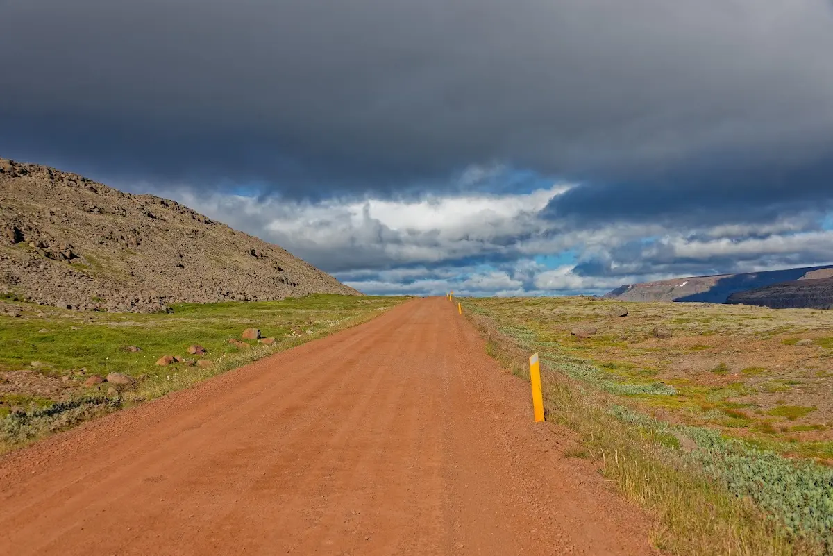
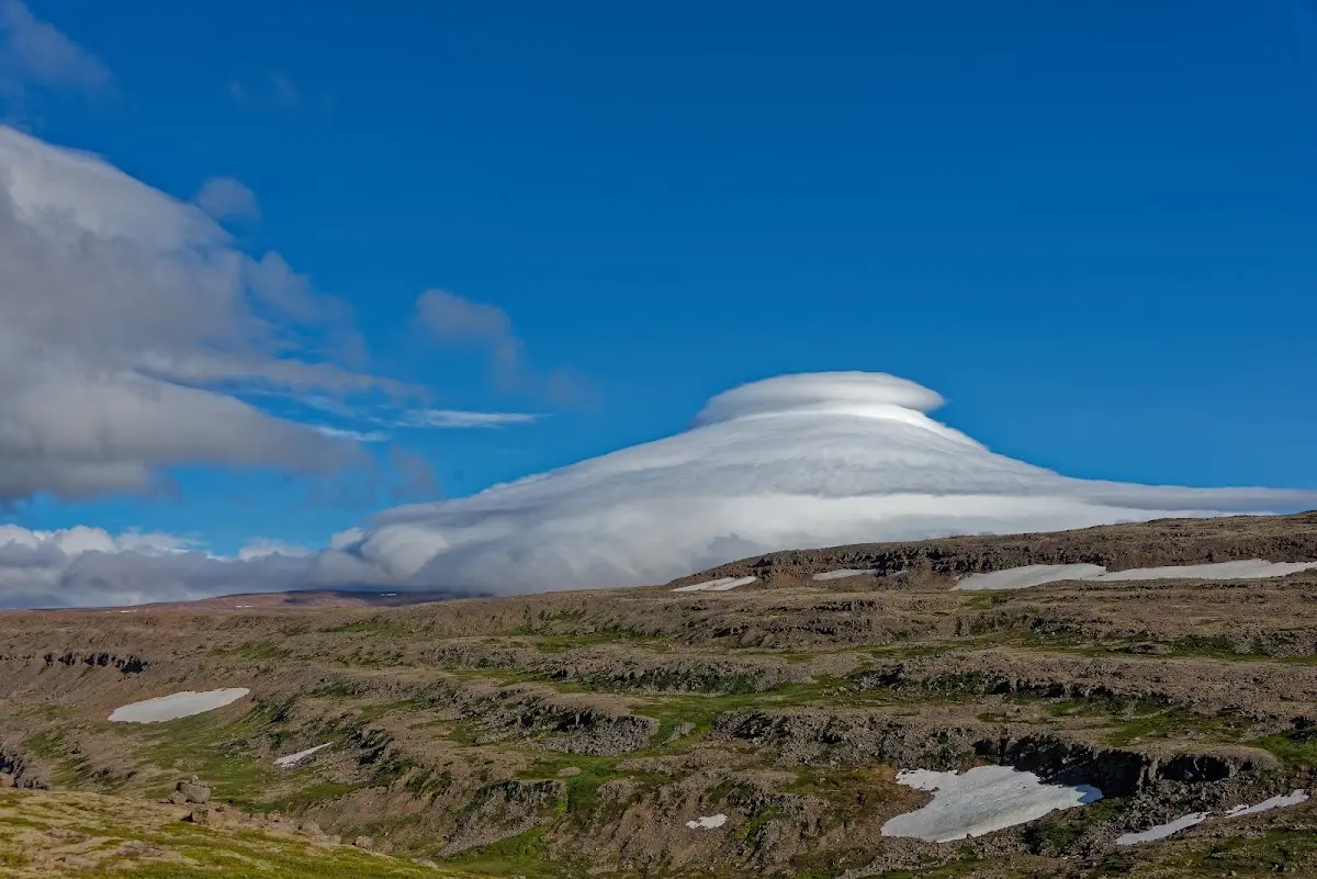
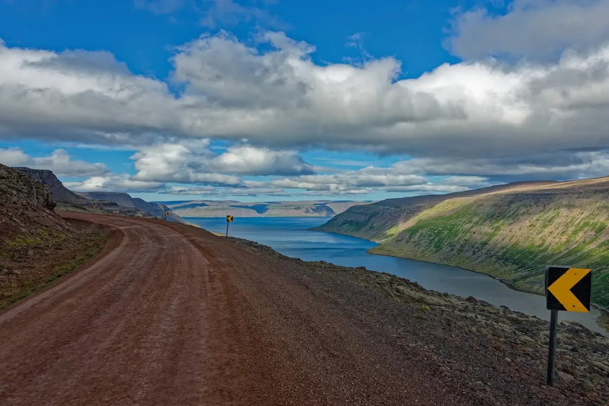
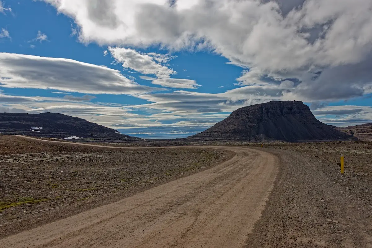
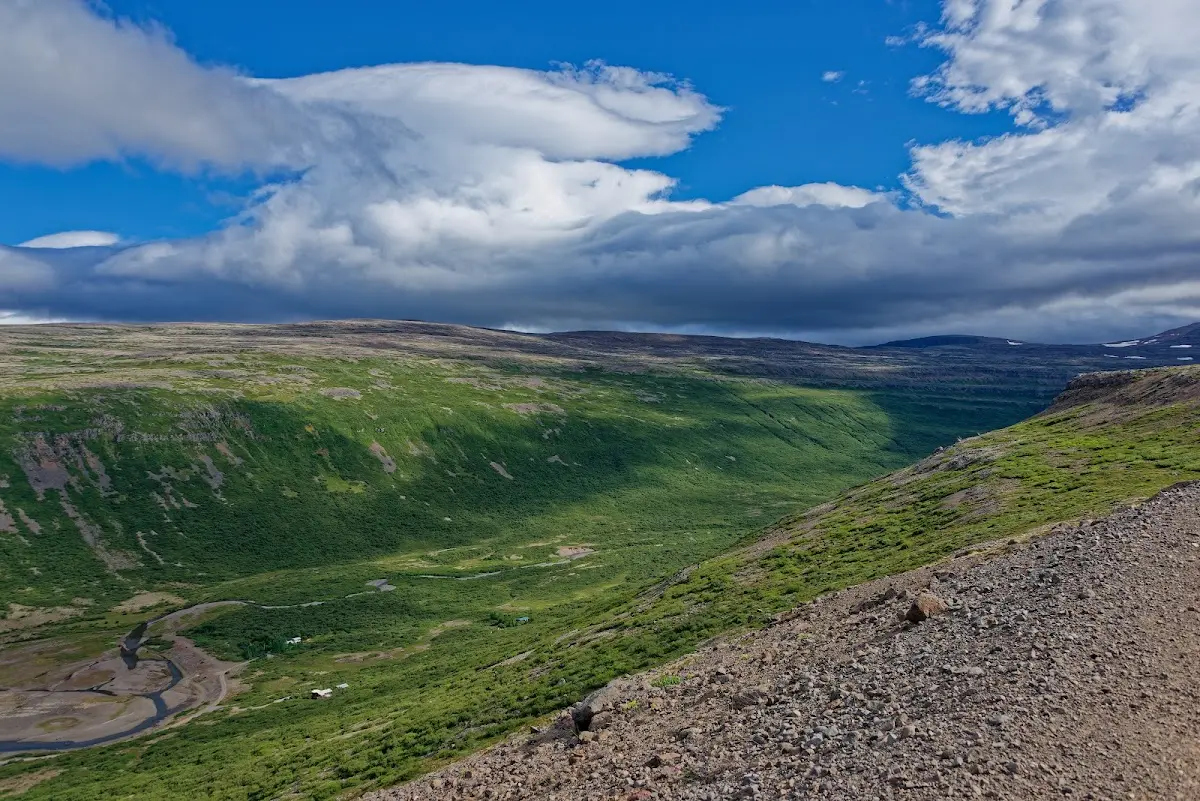
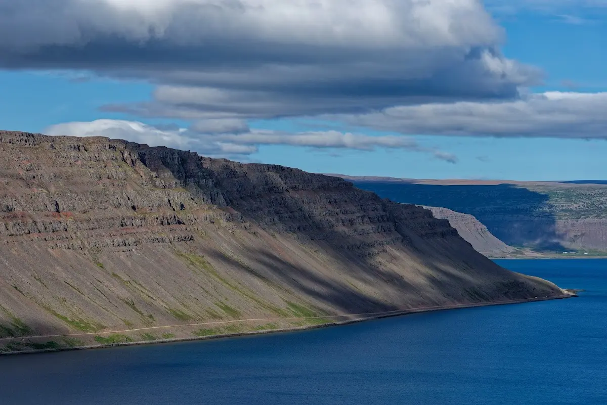
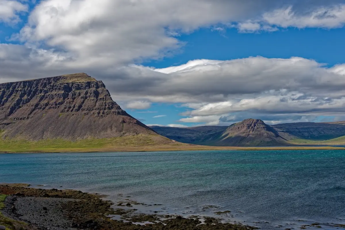
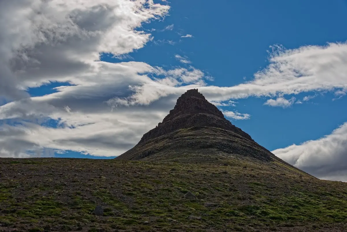
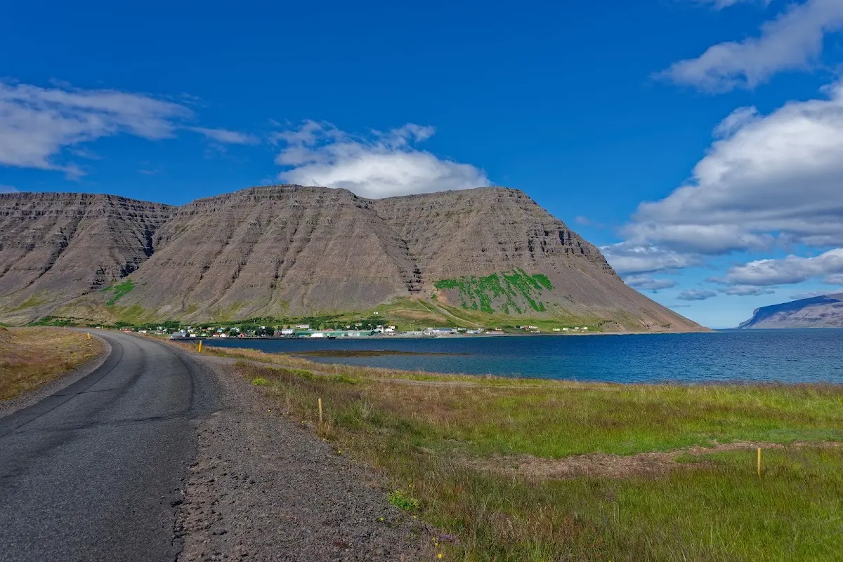
In the Arnarfjörður near Bíldudalur I spotted the sea monsters fjörulalli, hafmaður, skeljaskrímsli and faxaskrímsli, which you can also look at in a museum there...
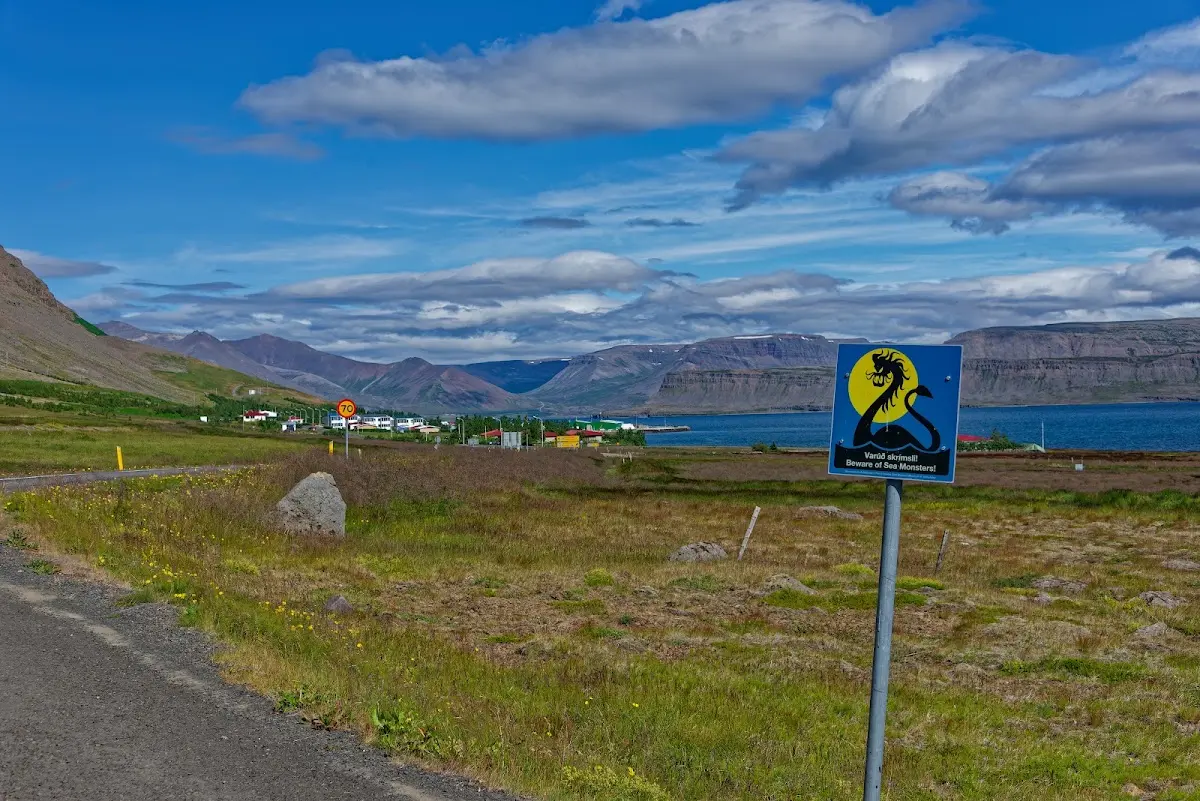
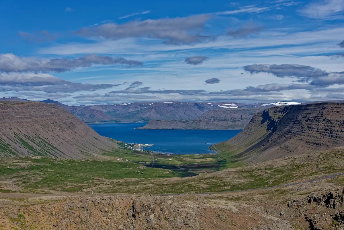
Another pass took me to Tálknafjörður; on the recommendation of a cyclist from the Allgäu in Bíldudalur I stayed there on the campsite right next to the swimming pool.
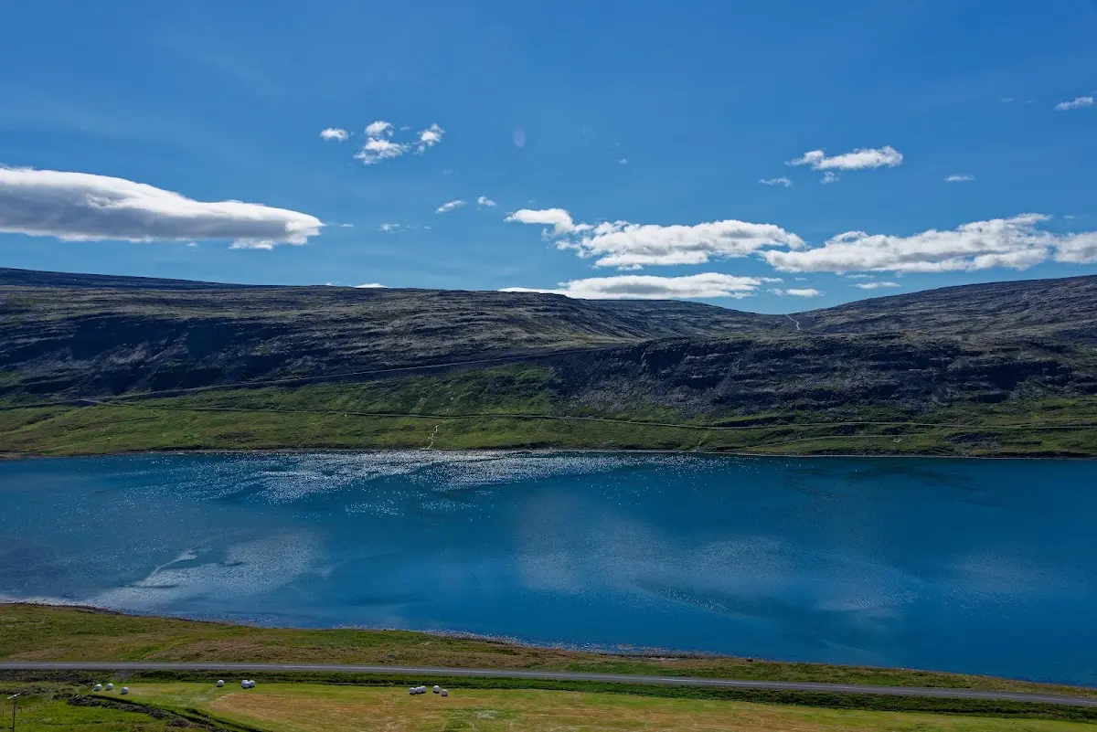
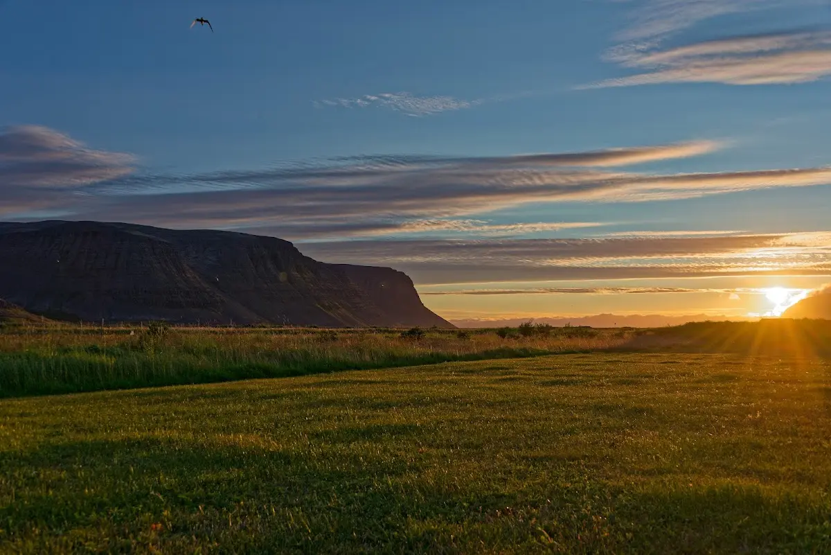
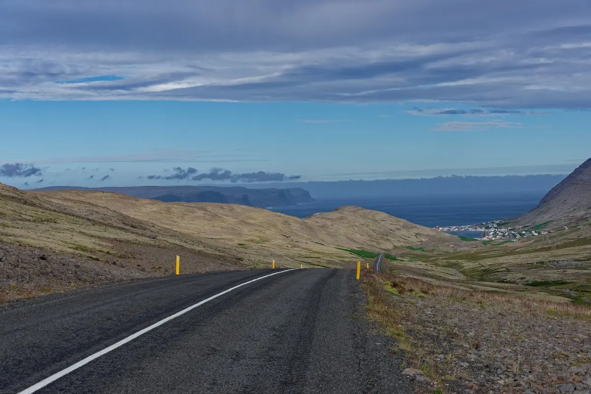
Between Tálknafjörður and Patreksfjörður I had to cross a small ridge before cycling out, in a fresh wind, to Látrabjarg and the cape Bjargtangar, the westernmost point of Iceland (and Europe). That is a dead end, you have to come back...
18 Látrabjarg
The road to Cape Bjargtangar is unpaved and has some potholes. First I looked at the ship built in 1912 that lies on the shore near Patreksfjörður; it seems to be the oldest steel ship built in Iceland.
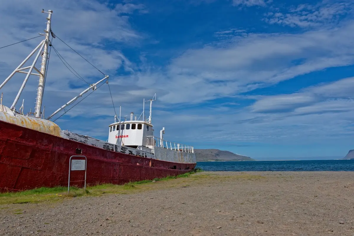
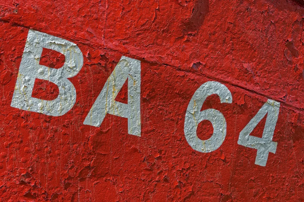
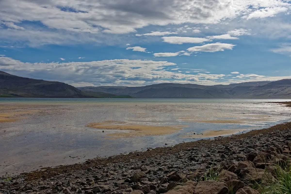
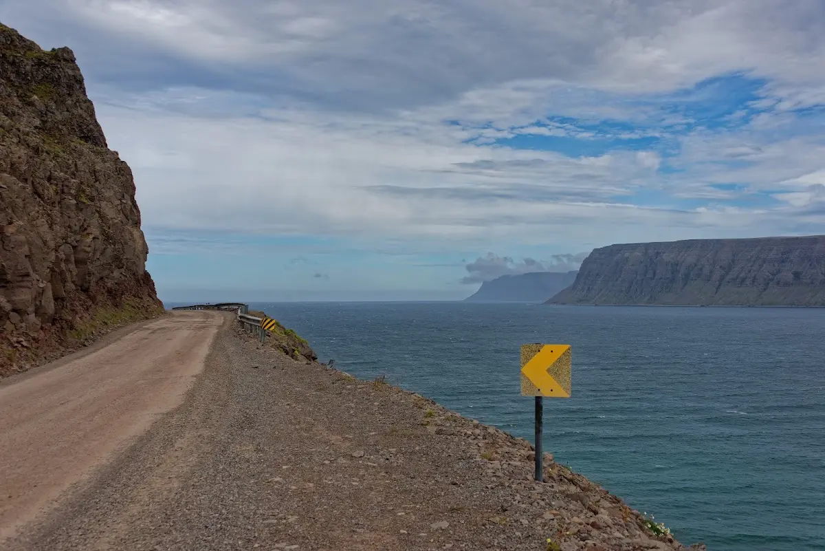
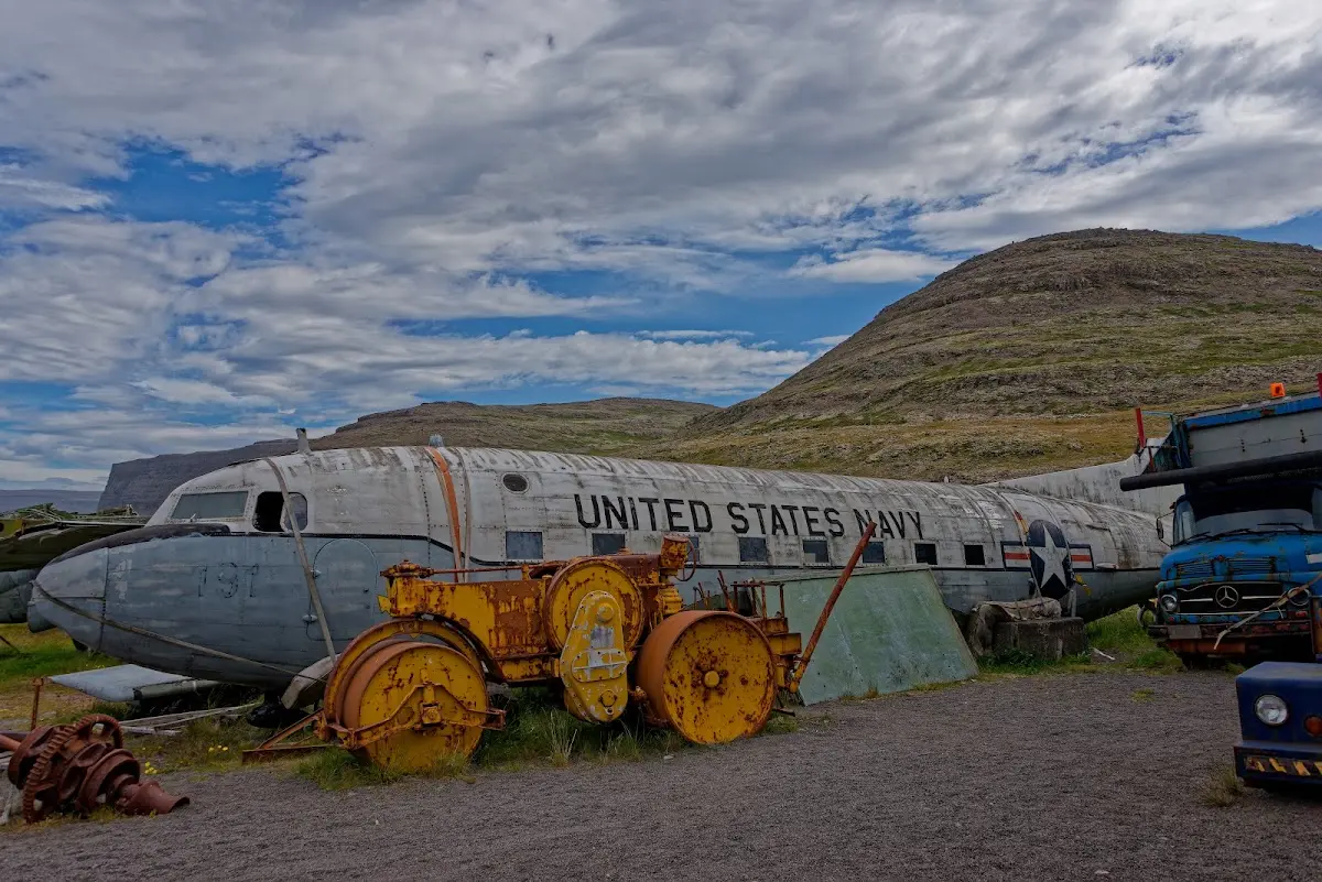
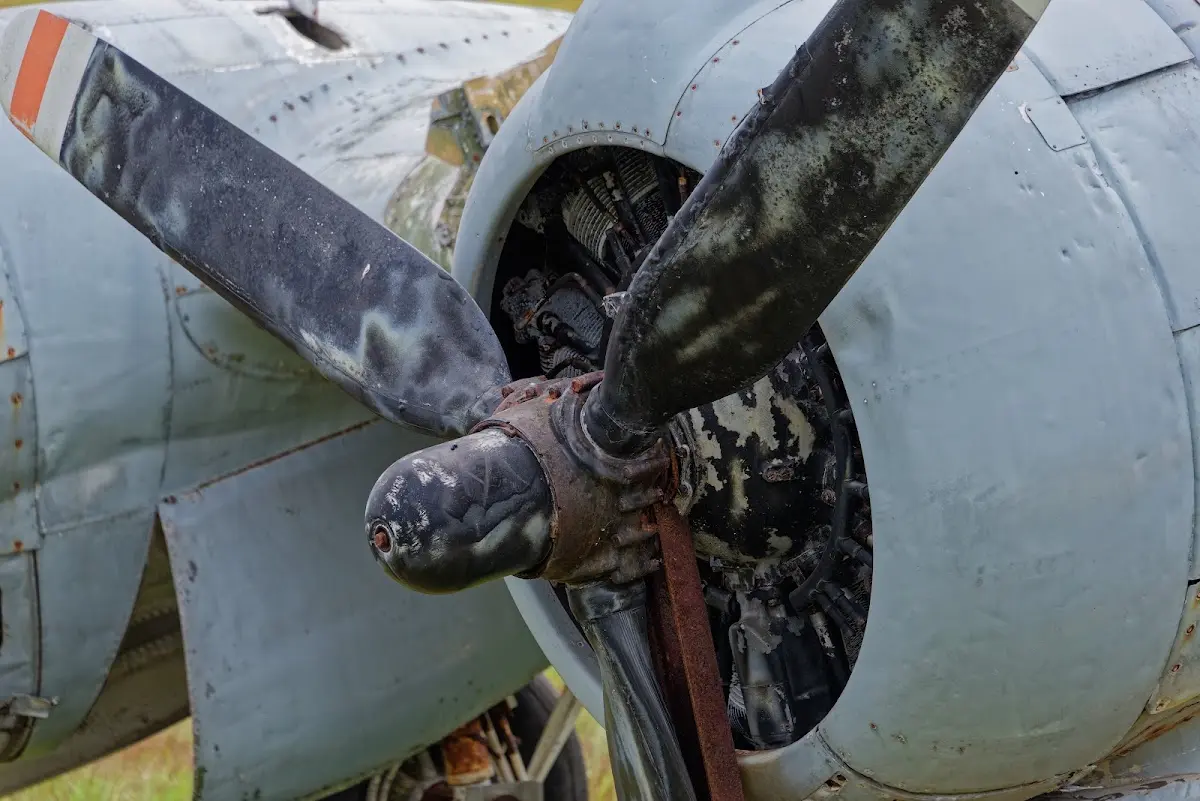
On to the museum Hnjótur, where Egill Olafsson has documented two shipwrecks (1947 and 48) on the cliffs of Látrabjarg and collected some exhibits on the beginnings of aviation in Iceland.
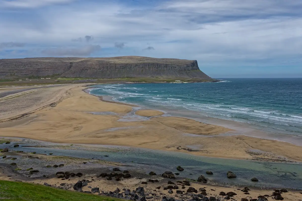
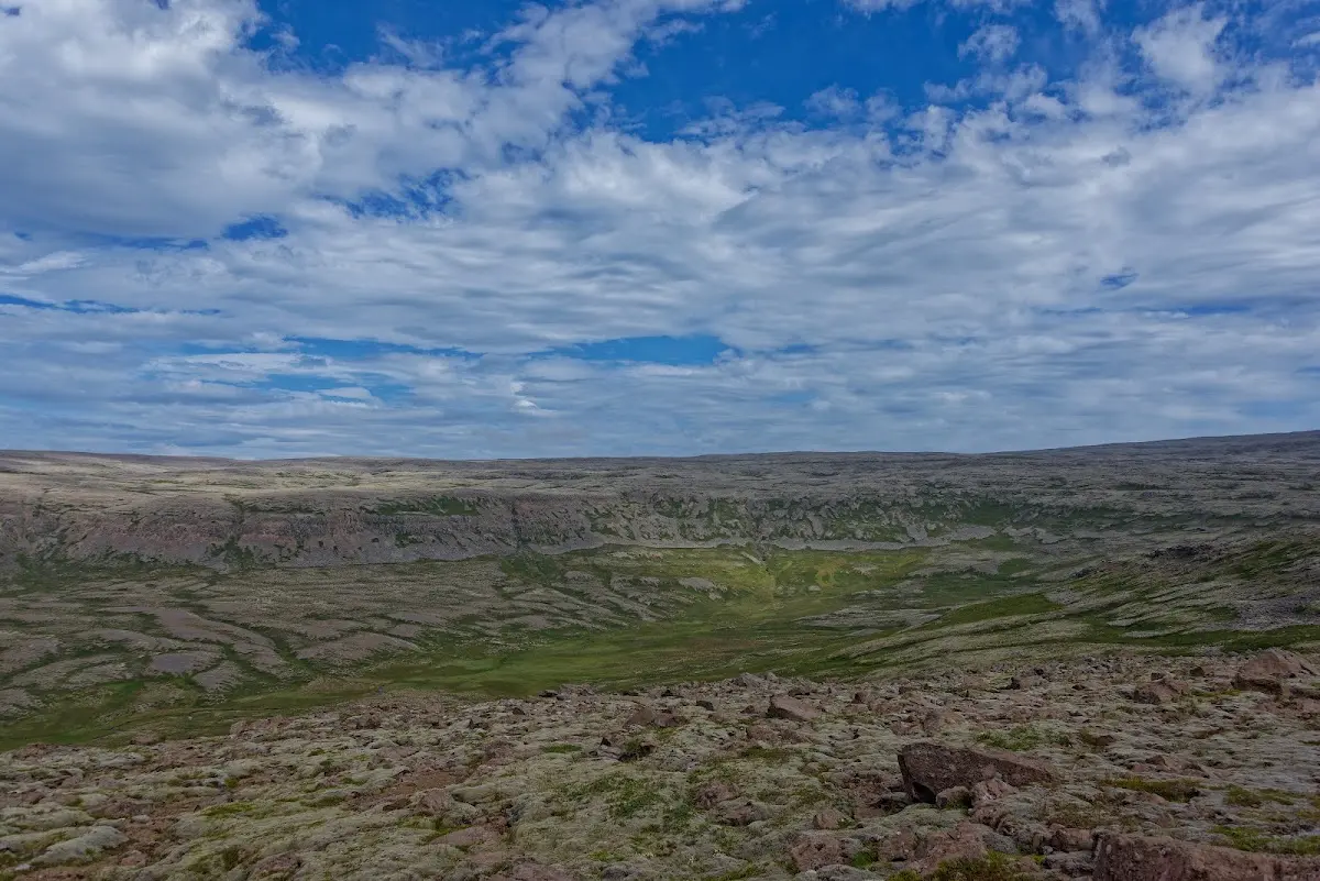
Millions of seabirds live in the cliffs, up to 450 m high, above all puffins, guillemots and razorbills.
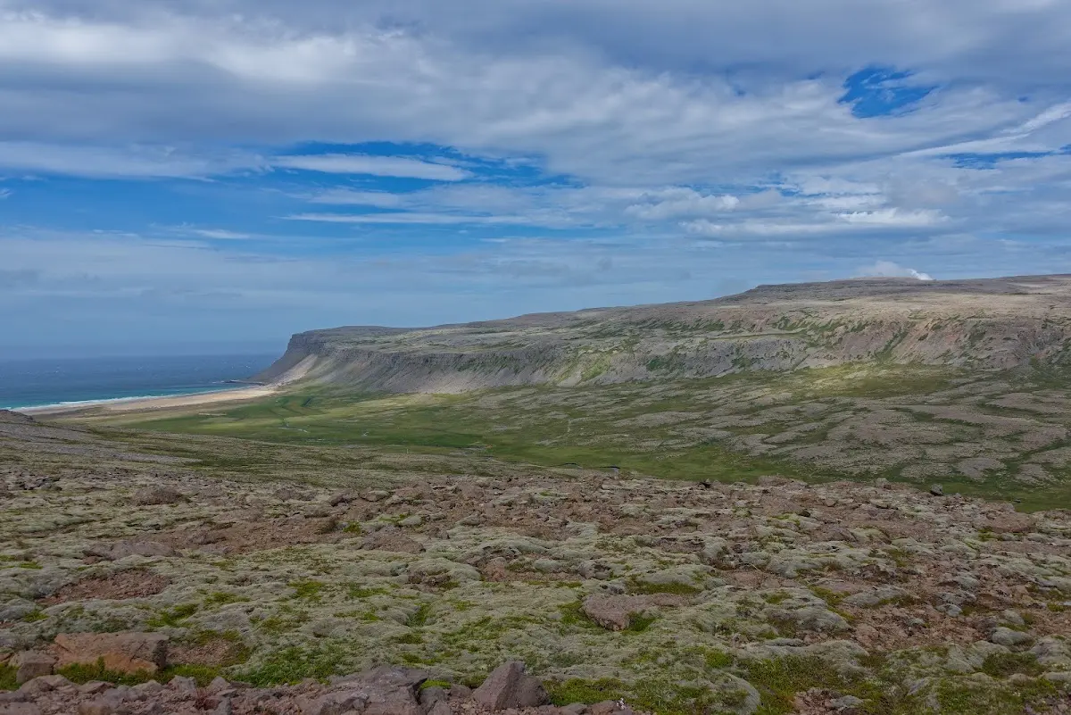
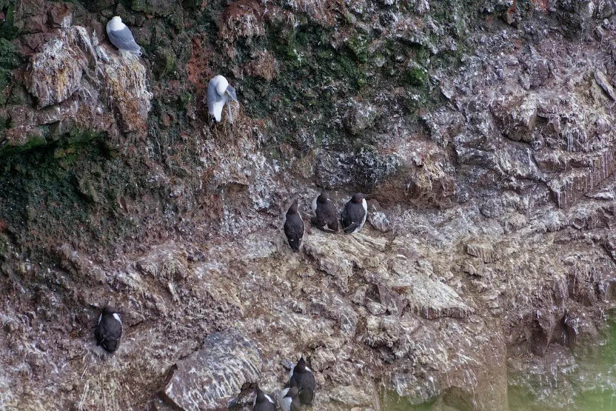
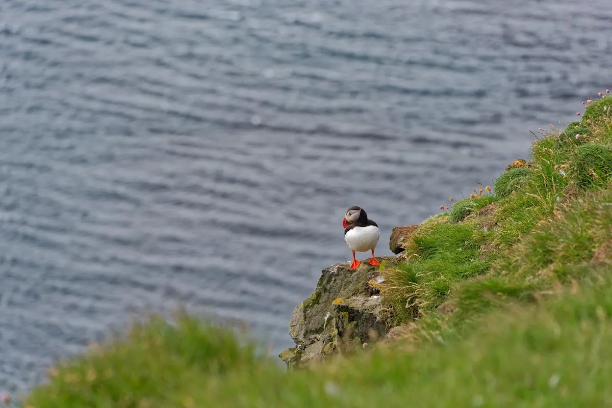
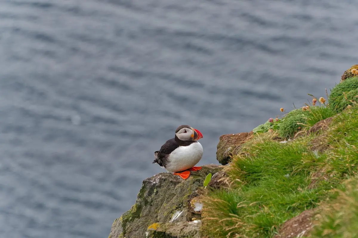
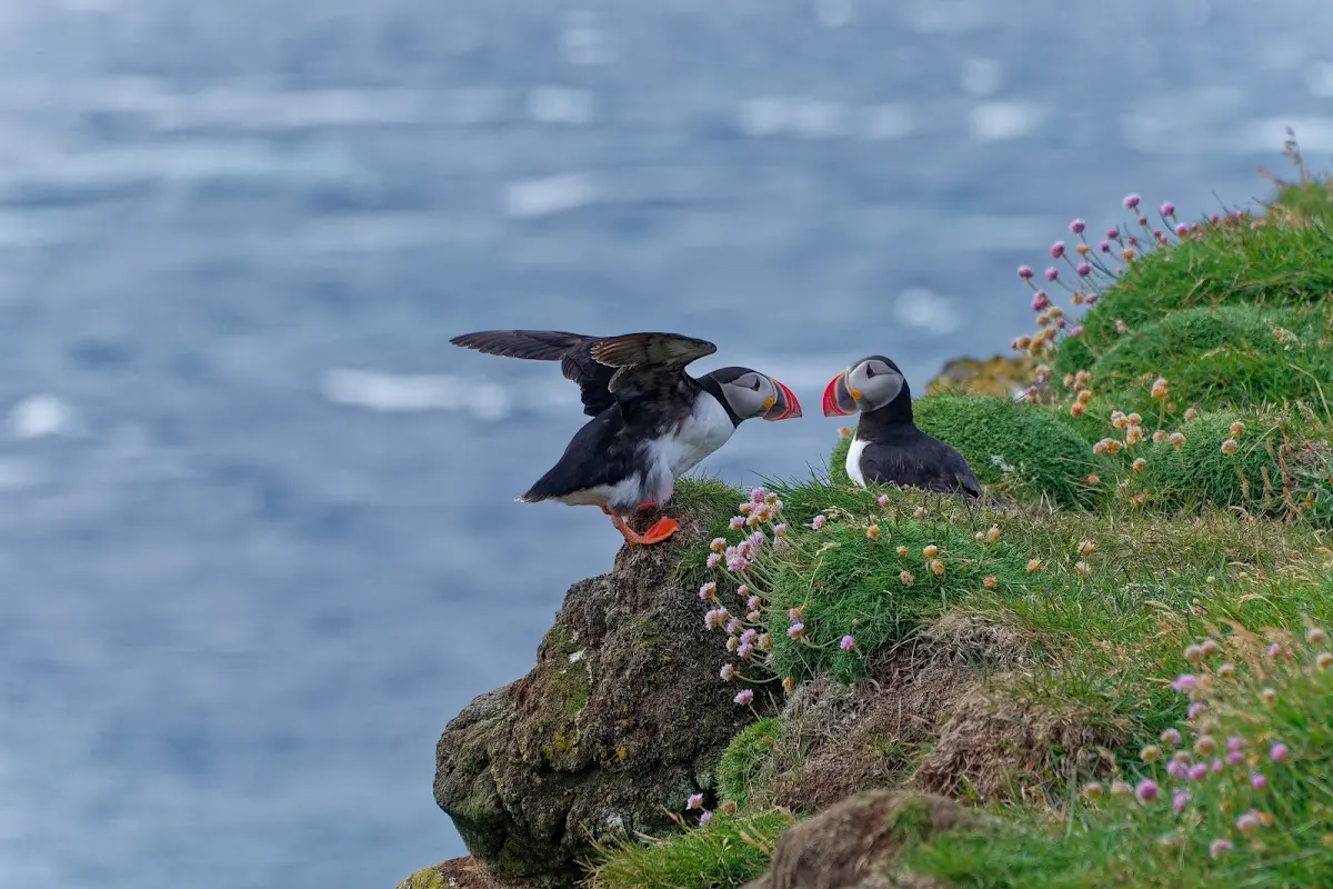
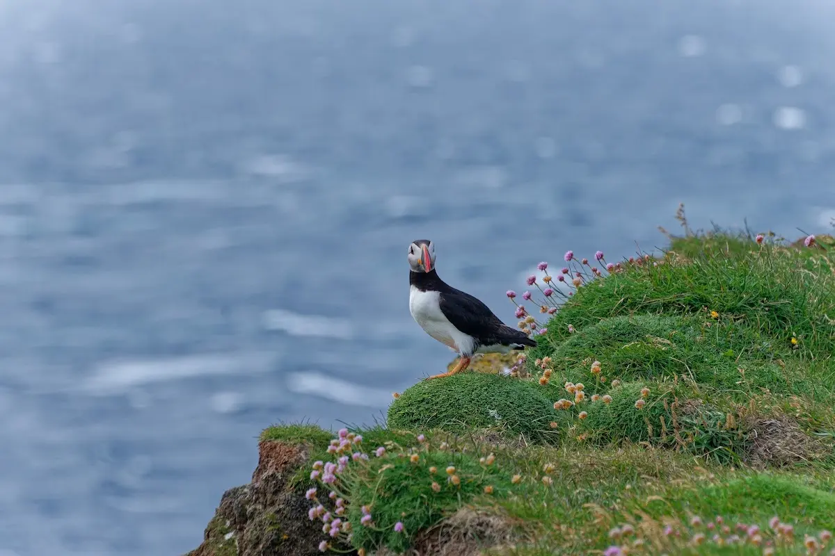
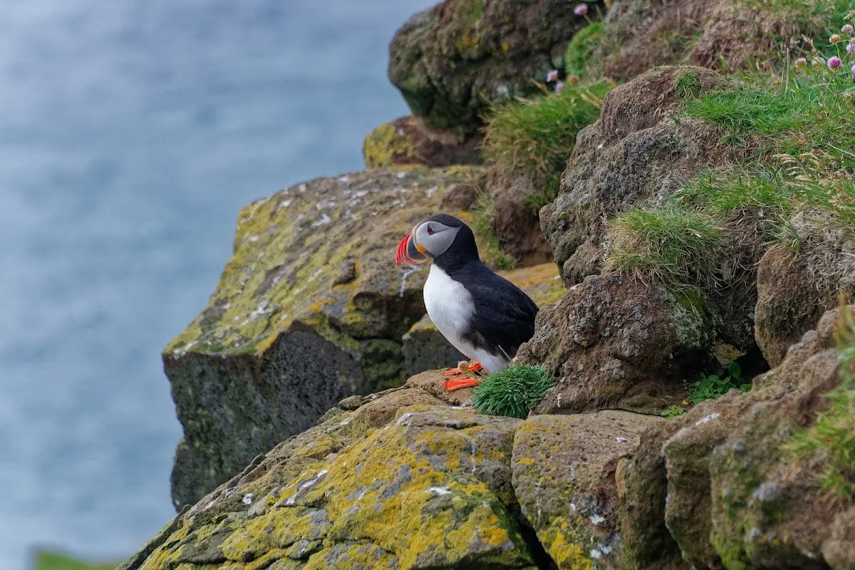
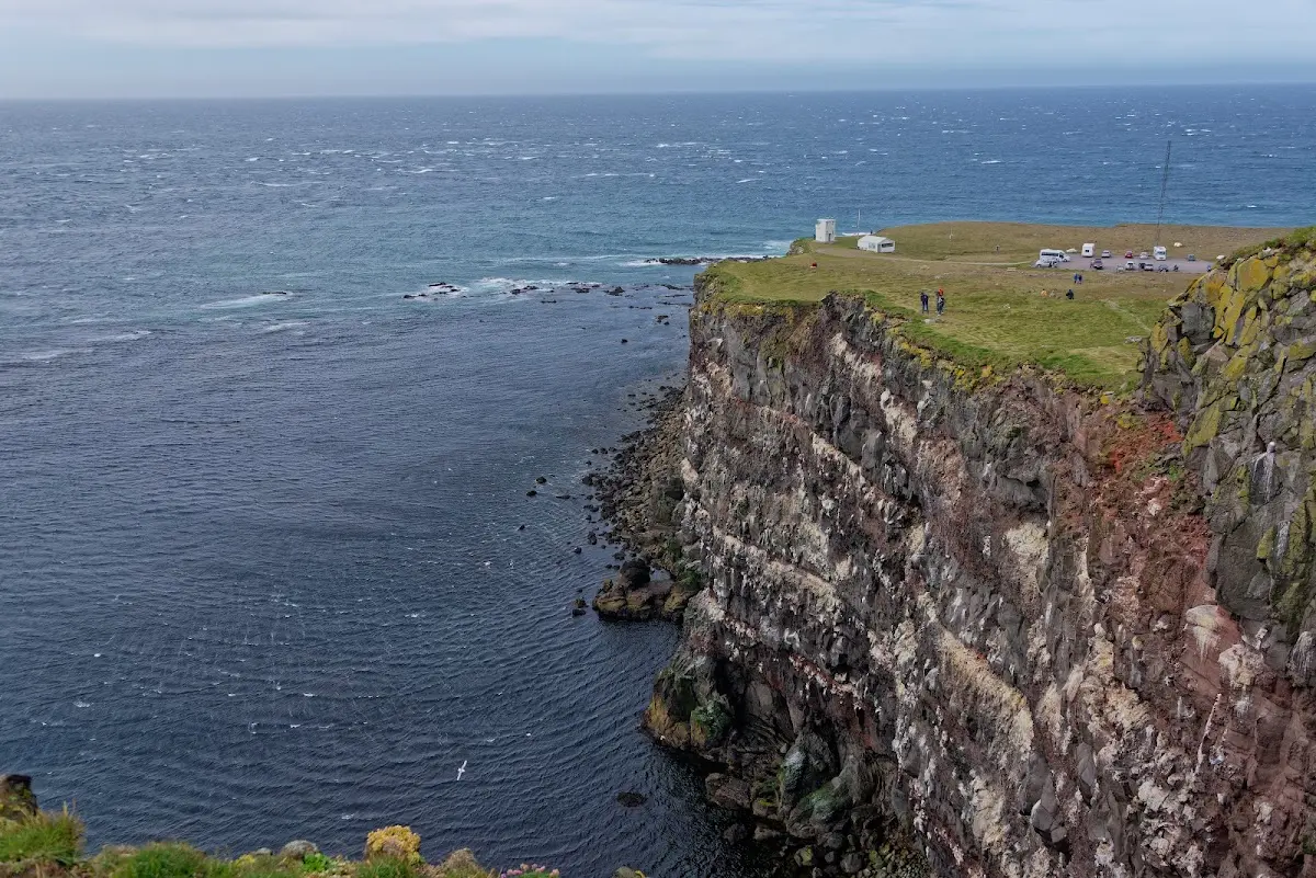
I had first planned to pitch my tent out there, but the sometimes extremely strong wind motivated me to cycle back to a campsite in Breiðavík.
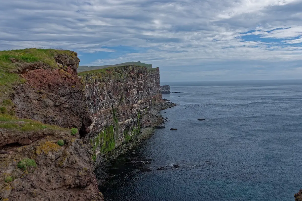
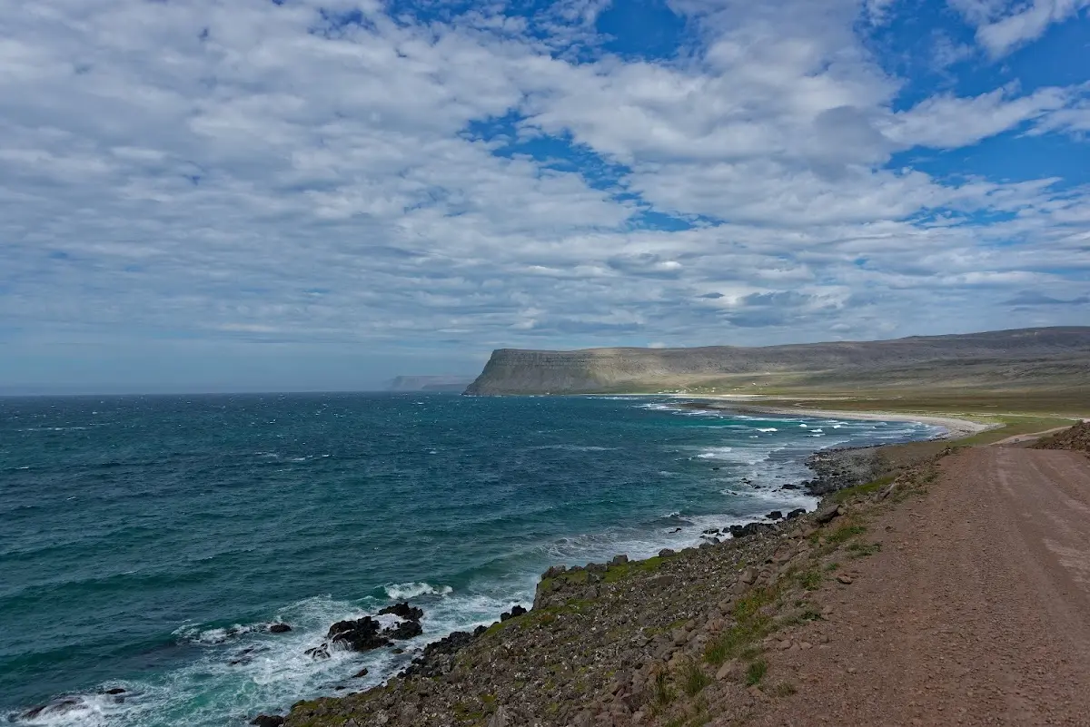
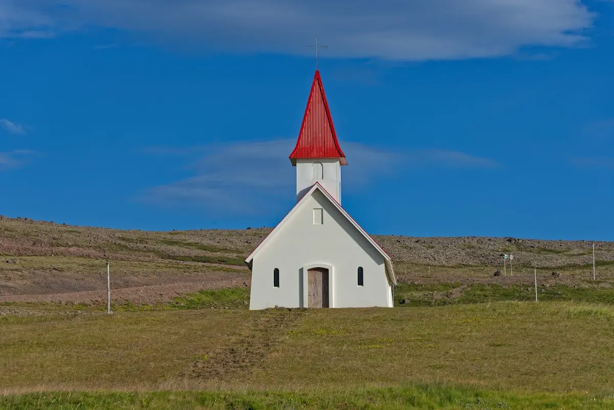
In some of the pictures here you can, I think, almost see the wind...
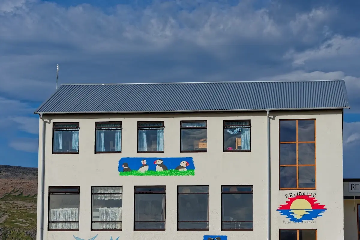
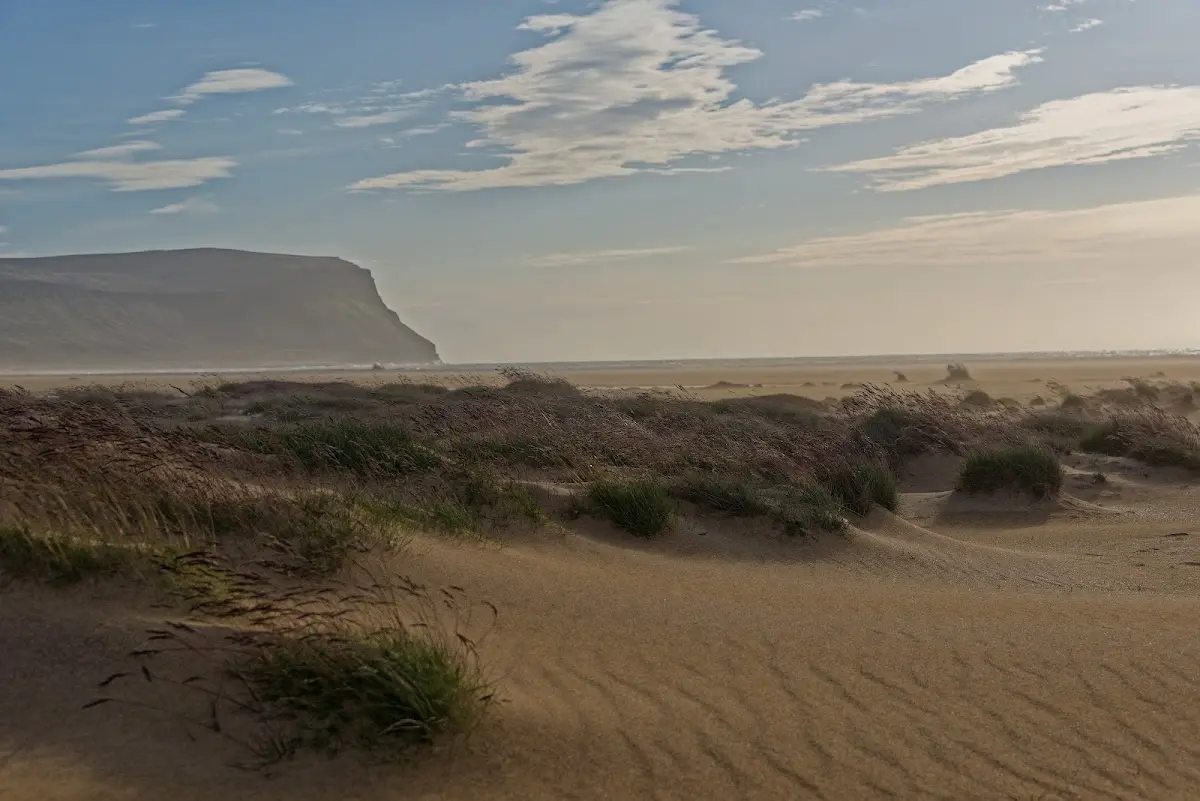
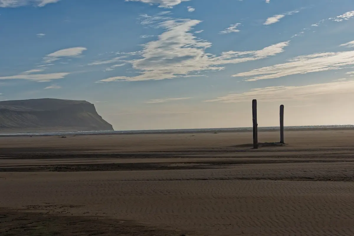
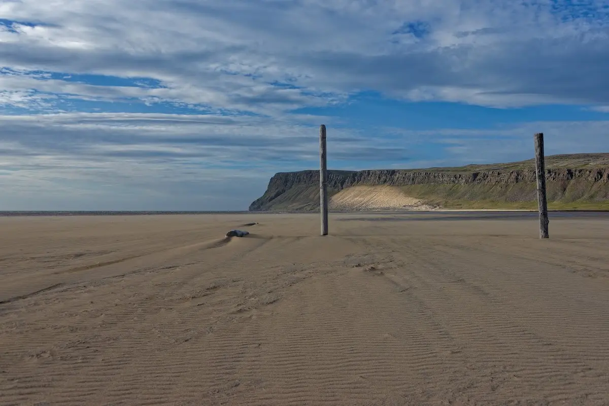
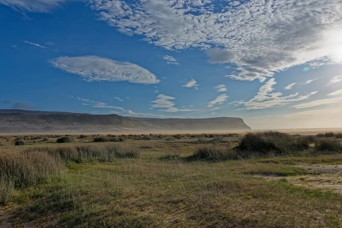
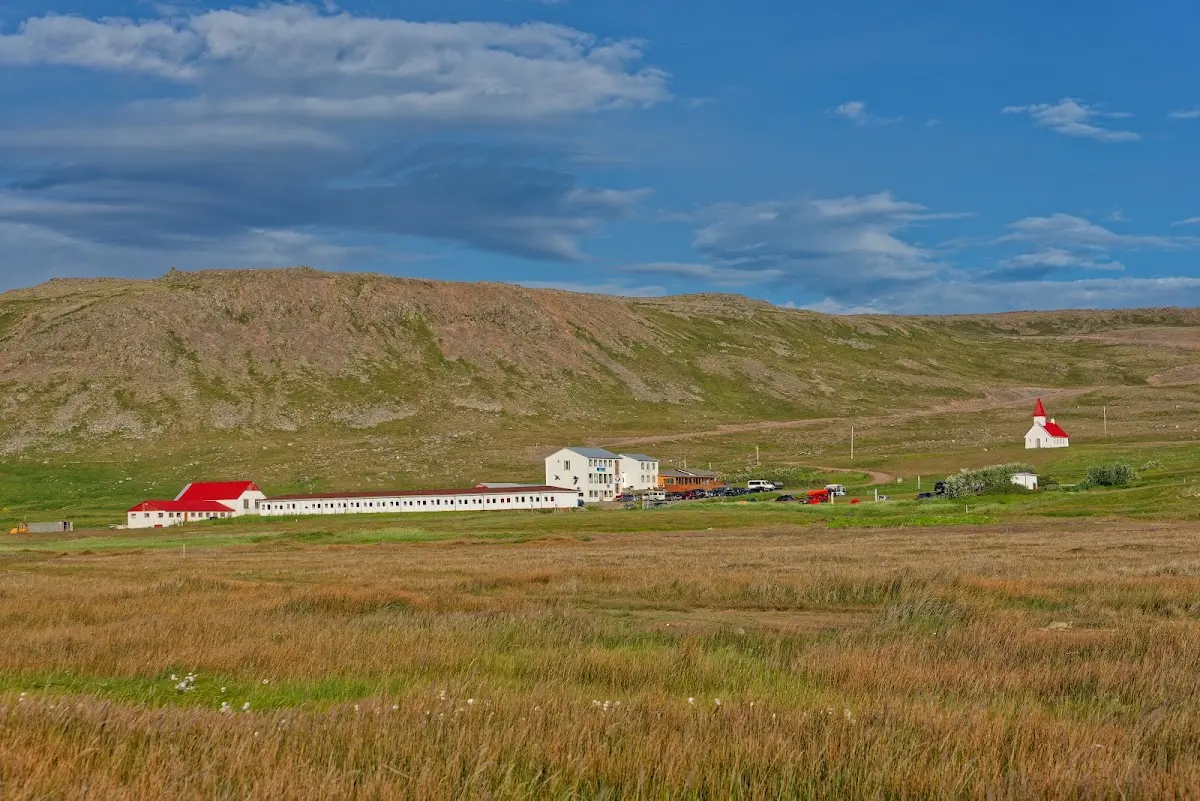
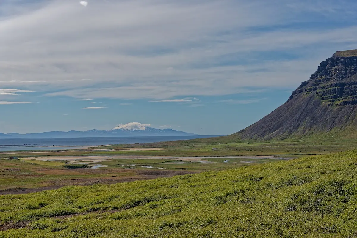
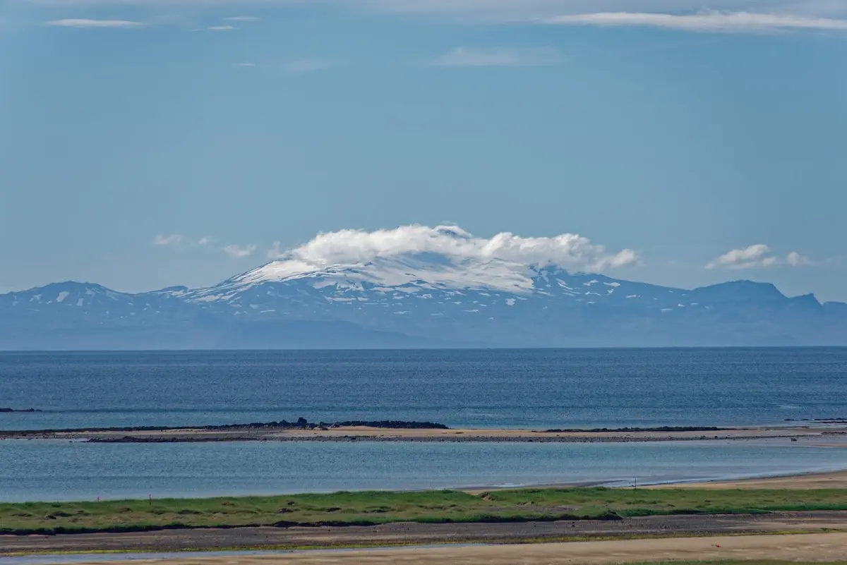
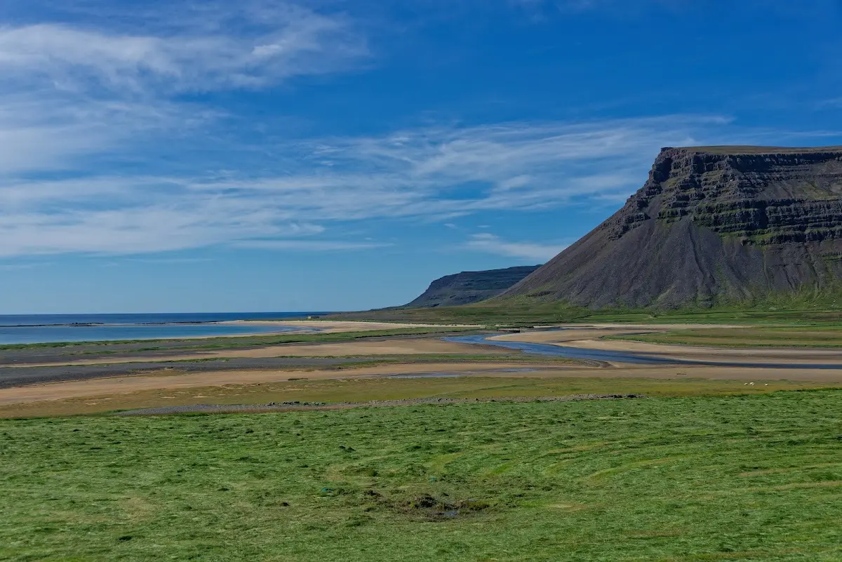
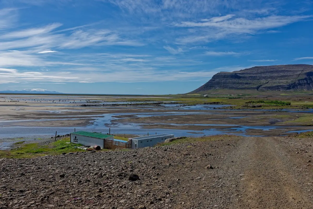
From Breiðavík it went back to the Barðastrandarvegur and over Kleifaheiði to the south coast of the Westfjords. There I also saw my (next-but-one) destination: the volcano Snæfellsjökull at the western end of the Snæfellsnes peninsula. But first I cycled to the swimming pool in Bjarkarholt and on to the ferry port at Brjánslækur.
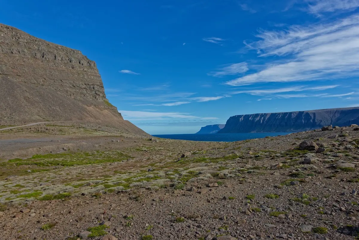
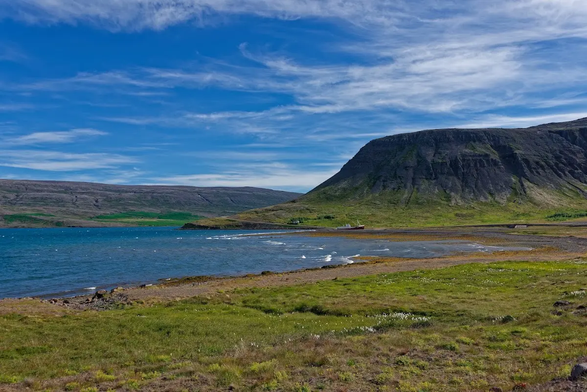
It continues in the next part with the ferry Baldur from Brjánslækur to the island of Flatey. I stay overnight there and take the ferry the next morning to Stykkishólmur on the Snæfellsnes peninsula.