Iceland by Bike 2013 - Summary and Overview
Deutsch | English
To begin with, a few brief key facts on the history of Iceland: the settlement of Iceland - the so-called Landnám - began at the end of the 9th century; historically Ingólfur Arnarson is noted in particular, who was followed shortly after by about 400 chieftain families from Norway, who divided the island among themselves. Soon they had the idea of meeting every year to handle legislation and jurisdiction centrally. This mixture of parliamentarism and oligarchy, the Althing, took place at Þingvellir (see also map/pictures point 21).
As dyed-in-the-wool Vikings the Icelanders did not only want to farm but also to go out to sea, and so Erik the Red sailed west with 800 people and founded two settlements on Greenland. Later, from there, Leif Eriksson (his son, as you can tell from the Icelandic naming rules) discovered the coast of North America further west and called it Vinland.
From the 13th century the mother country Norway increasingly tried to control the hitherto independent Iceland and forced a treaty that made this possible by means of a trade boycott. From the 15th century (1397 Kalmar Union) the Danes replaced the Norwegians as the determining factor in Iceland. Again and again there were catastrophes in Iceland: volcanic eruptions brought agriculture to a standstill and the plague cost 2/3 of the Icelanders their lives.
When in 1627 Algerian pirates plundered the Westman Islands (map/pictures point 24) and some coastal towns of Iceland and carried women and young people off into slavery, little was to be seen of the protecting power Denmark.
The political currents of Europe also reached Iceland at the beginning of the 19th century; the ideas of nationalism were imported into the homeland by Icelanders who studied abroad in Europe, and in 1840 the Althing (after it had been abolished, powerless, in 1800) was refounded in Reykjavík as an advisory assembly. The driving force in the struggle for an independent Iceland was Jón Sigurðsson.
In 1918 the Union Treaty with Denmark, fixed for 25 years, initiated Iceland’s independence from Denmark. After the referendum in 1944 the Republic of Iceland was proclaimed at the historic site of the Althing, in Þingvellir.
About 300,000 people live in Iceland today, 2/3 of them in the greater Reykjavík area, on about 100,000 km²; spread over the whole country that is about 3 people per km² (for comparison: the good 12,000,000 inhabitants of Bavaria live together on 70,000 km², which is about 175 people per km²).
In the first picture I show a few roads and landscapes that will keep turning up in the course of the report.
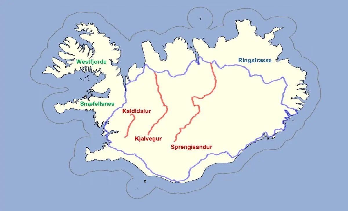
The so-called Ring Road, or “Route 1”, only completed in 1974, follows the coast of Iceland roughly (without serving the numerous peninsulas); it is 1336 km long and drawn in blue. Marked in red are three of the so-called highland tracks (Icelandic: Landsvegir) that I rode on my tour: these are unpaved gravel tracks, partly without bridges over the numerous rivers, so that you have to ford them.
In green letters the area of the Westfjords in the northwest of Iceland and the Snæfellsnes peninsula are marked.
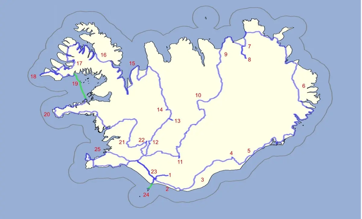
On the second map you can see my route by bike in blue, and I have marked various sights or milestones with numbers, by which I want to structure the report that follows later.
1 Þórsmörk hiking area 2 Between Skógafoss and Vik 3 Mýrdalssandur and other sandur plains 4 Skaftafell and Svartifoss 5 Jökulsárlón 6 The East Fjords and the northeast of Iceland 7 Asbyrgi and 8 Dettifoss 9 Husavik | 10 Highland track Sprengisandur 11 Landmannalaugar 12 Gullfoss 13 Kerlingarfjöll 14 Hveravellir 15 Vatnsnes peninsula 16 The Westfjords 17 Dynjandi waterfall | 18 Látrabjarg 19 Flatey 20 Snæfellsnes 21 Þingvellir 22 Geysir 23 Seljalandsfoss 24 Vestmannaeyjar 25 Reykjavík |
If you want to look at a more detailed map:
The journey begins in mid-July in Keflavík, Iceland’s international airport, in the southwest of the island, and leads along the south coast into the hiking area around (1) Þórsmörk
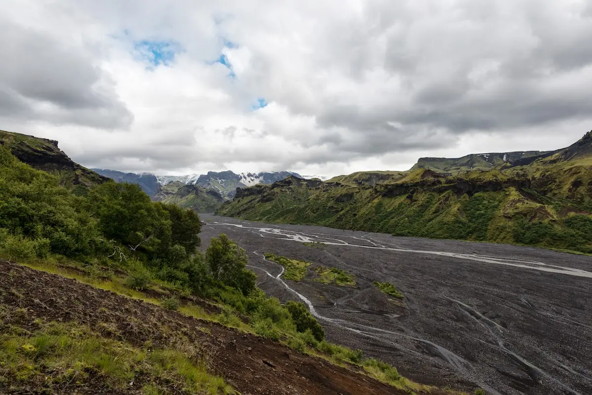
and on, in mediocre weather, past the famous waterfall (2) Skógafoss to Vik, the southernmost settlement in Iceland
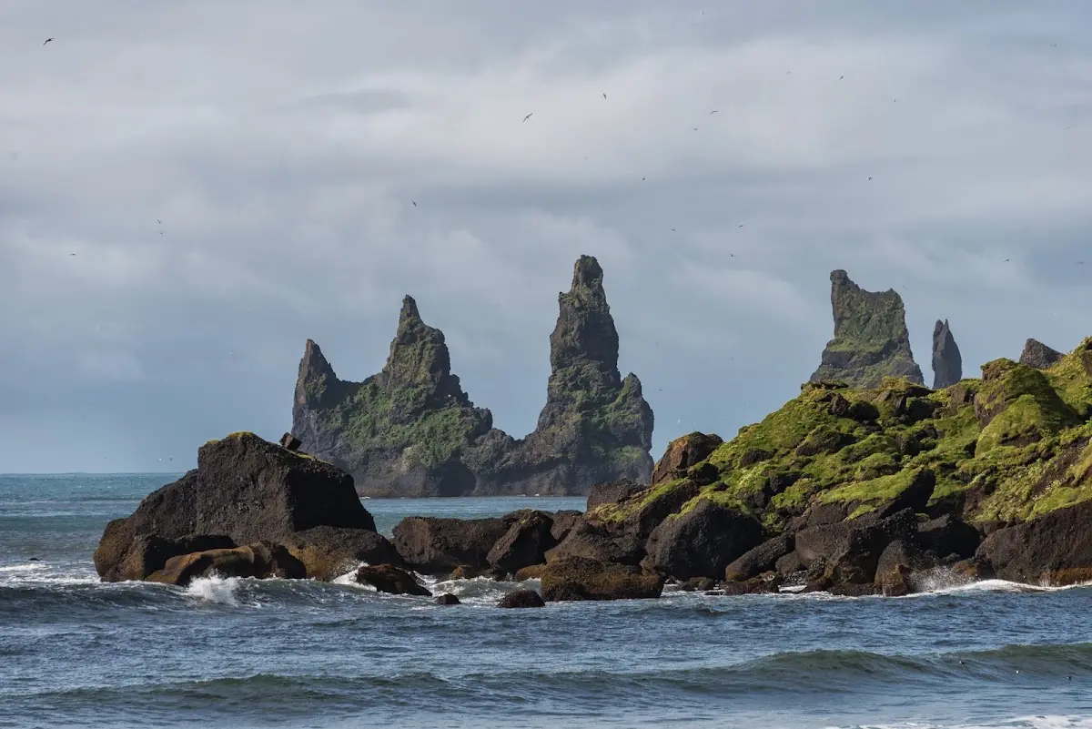
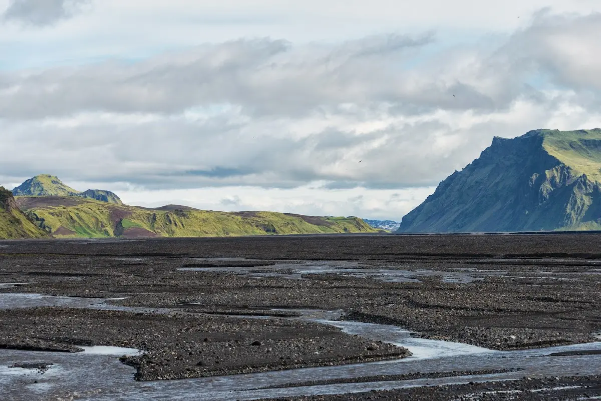
and through (3) Mýrdalssandur and other sandur plains to the glacier area
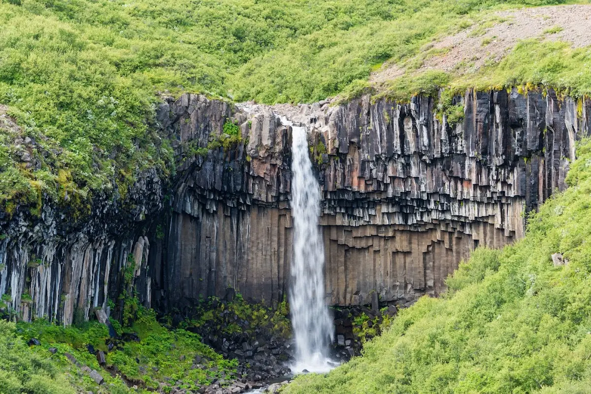
(4) Skaftafell and the waterfall Svartifoss.
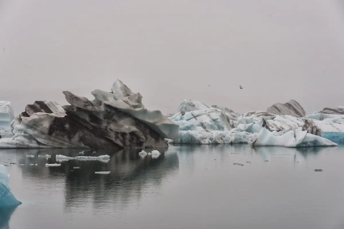
At (5) Jökulsárlón icebergs calve and float out to sea
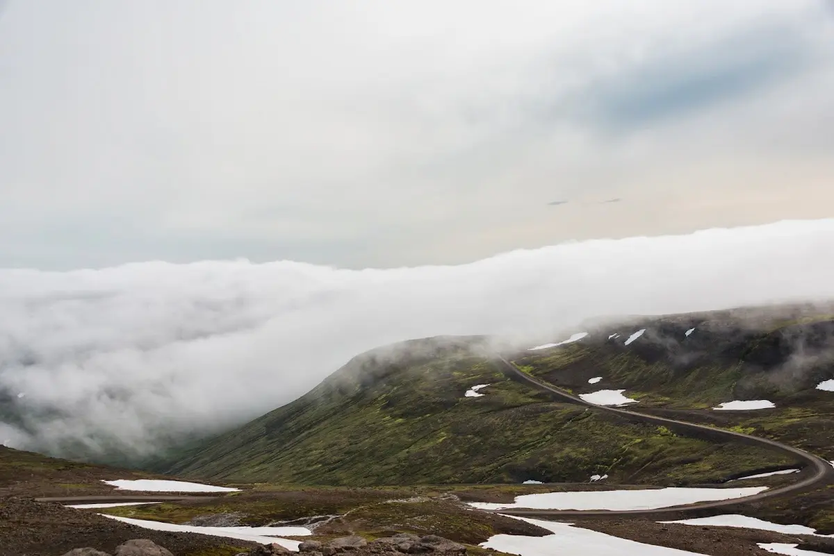
In the (6) East Fjords it gets increasingly lonely, for example over the Hellisheiði pass on the way north
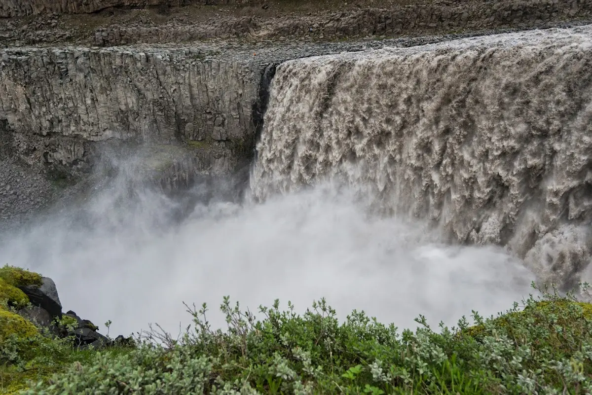
The horseshoe-shaped valley (7) Asbyrgi is said to come from Odin’s eight-legged horse Sleipnir, and the most powerful waterfall in Europe, (8) Dettifoss, I only knew as “Ditti-foss”, as my colleague Florian K. told me, who about 30 years ago renounced his Ditti, that is, his dummy (pacifier), for ever there, probably at his dad’s gentle urging...
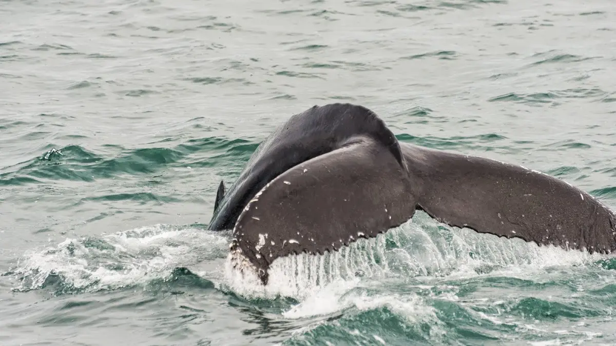
In the area of (9) Husavik the old Swede Garðar Svavarson landed in the 9th century and perhaps already met the numerous humpback whales that you can watch there in the bay.
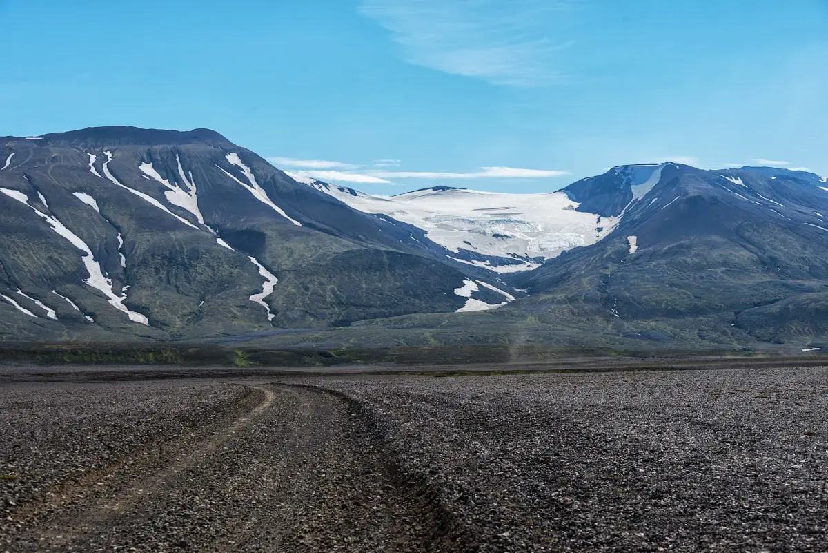
I was very lucky with the weather on the highland track (10) Sprengisandur
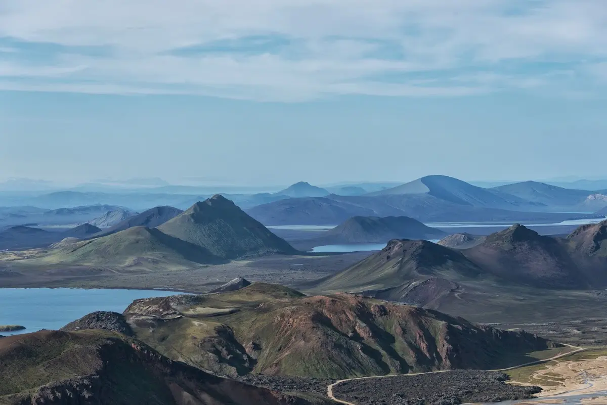
and in the very popular hiking area (11) Landmannalaugar.
Perhaps the most famous waterfall of Iceland, (12) Gullfoss, presented itself to me early in the morning in the best weather, largely without other tourists, before I took the second big highland track, the Kjölur,
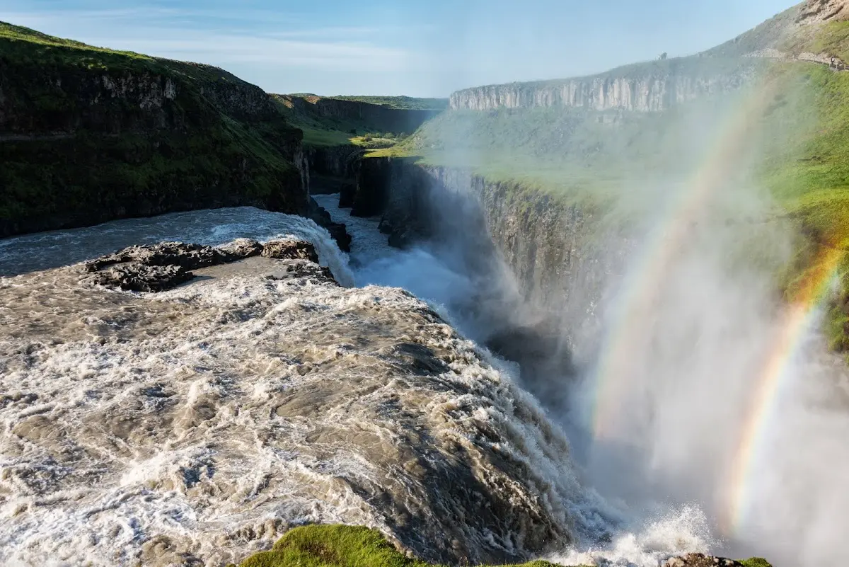
and stopped at (13) Kerlingarfjöll to look at the mountain world on a few hikes.
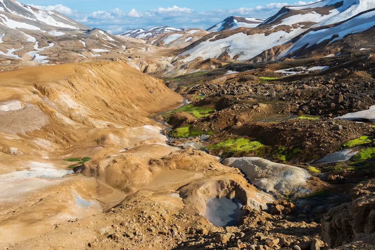
In the geothermal area (14) Hveravellir there is, as in so many other places in Iceland, a hot pot, a bathing pool of about 40° fed with boiling hot water and a cold river.
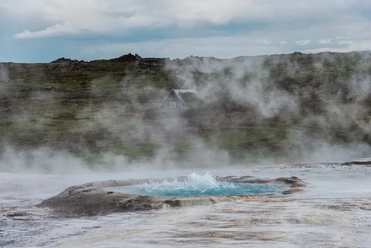
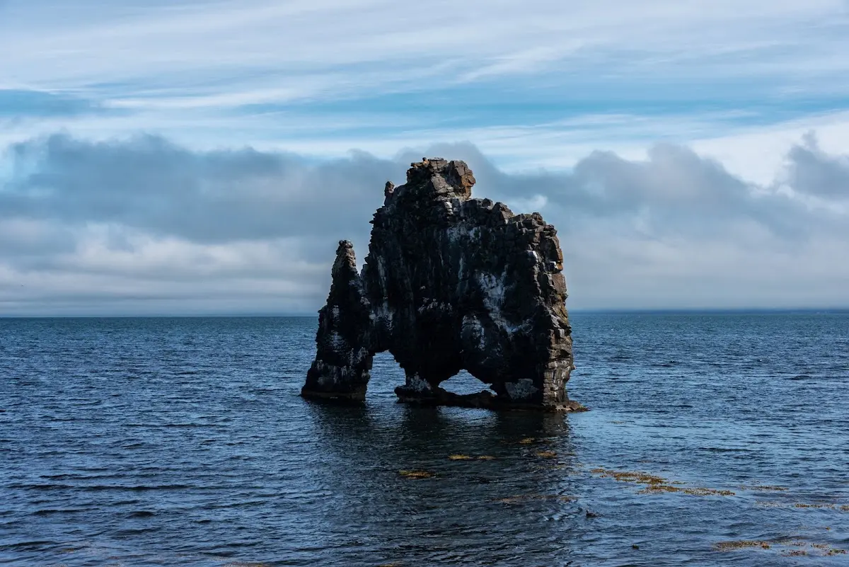
On the (15) Vatnsnes peninsula you can watch and photograph seals, for which, thanks to the sluggishness of seals, you do not need a particularly fast camera. You need to be even less quick for Hvítserkur, a troll turned to stone...
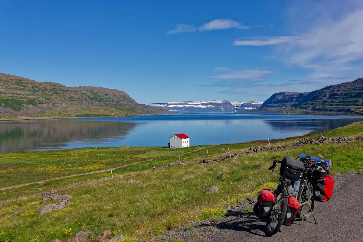
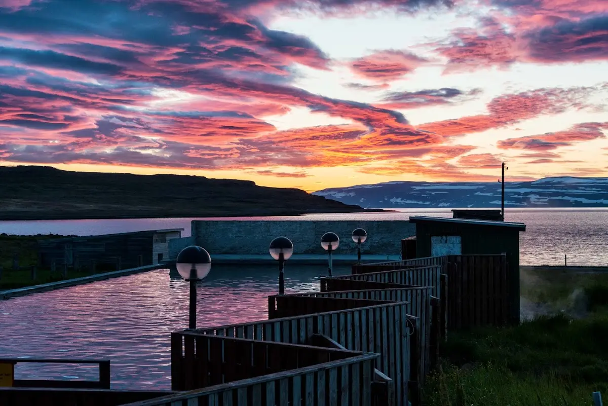
Another section of the trip were the (16) Westfjords of Iceland; what impressed me particularly in Reykjanes was a 50 m pool heated to 40° by geothermal energy..., and admittedly the sunset, or rather the brief dip of our inconspicuous main-sequence star of the Hertzsprung-Russell diagram into the Nordic sea, delivered a quite spectacular blaze of colour...
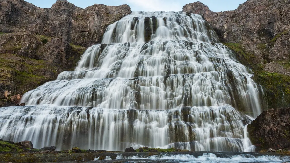
The (17) Dynjandi waterfall in the Westfjords is almost 60 m wide and plunges in several cascades a total of about 100 m.
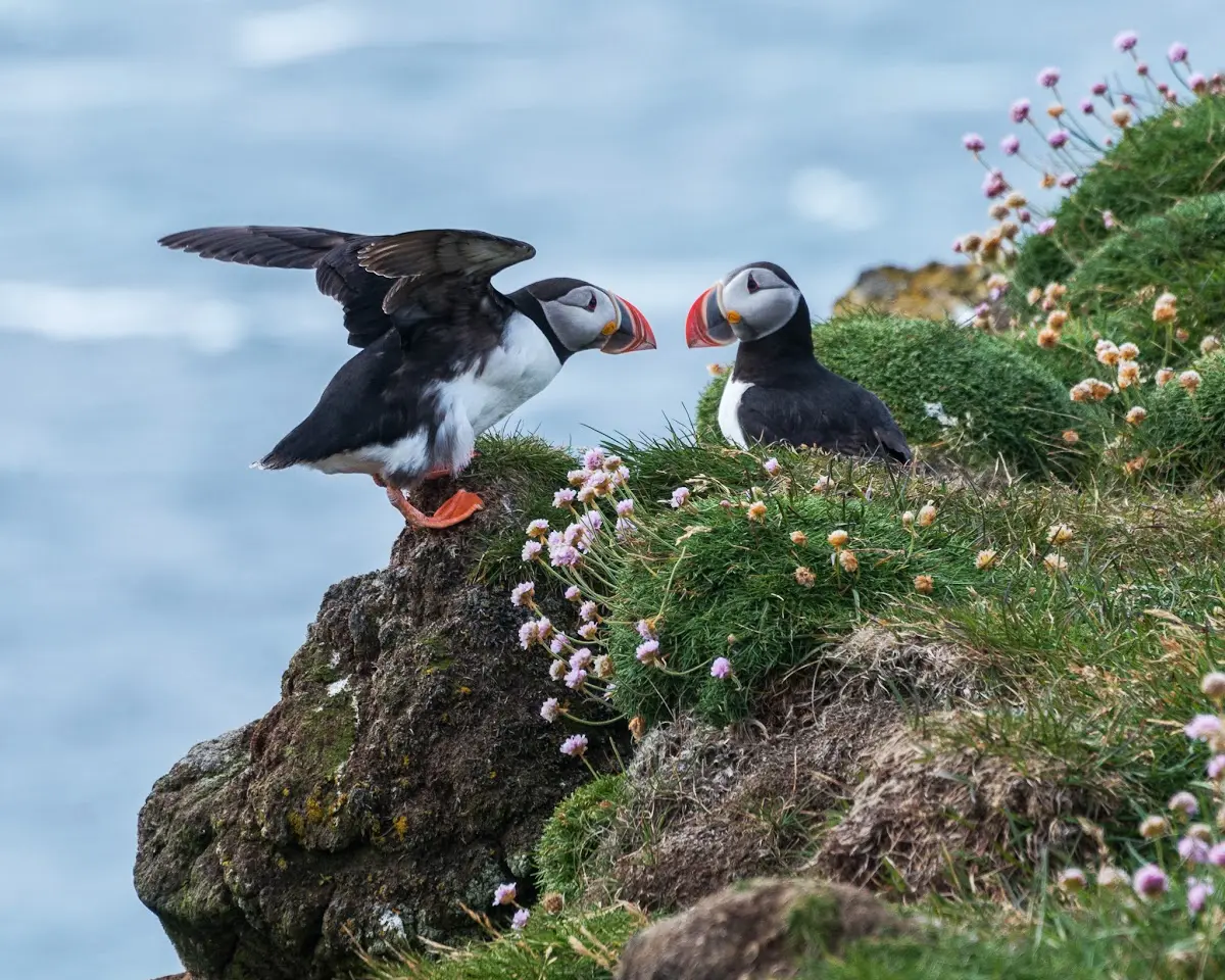
the bird cliff (18) Látrabjarg is the westernmost place in Iceland (and Europe) and home to many seabirds, above all puffins, guillemots and razorbills.
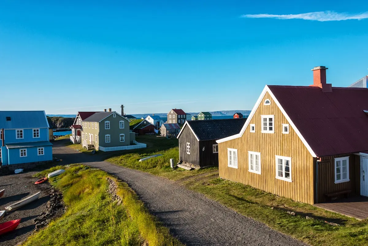
The island (19) Flatey in the fjord Breiðafjörður has been continuously inhabited since the Landnám; currently, to my knowledge, 10 permanent residents are registered there...
At the western end of the peninsula (20) Snæfellsnes rises the 1446 m high stratovolcano Snæfellsjökull, about which Jules Verne has a story to tell in his novel “Journey to the Centre of the Earth”
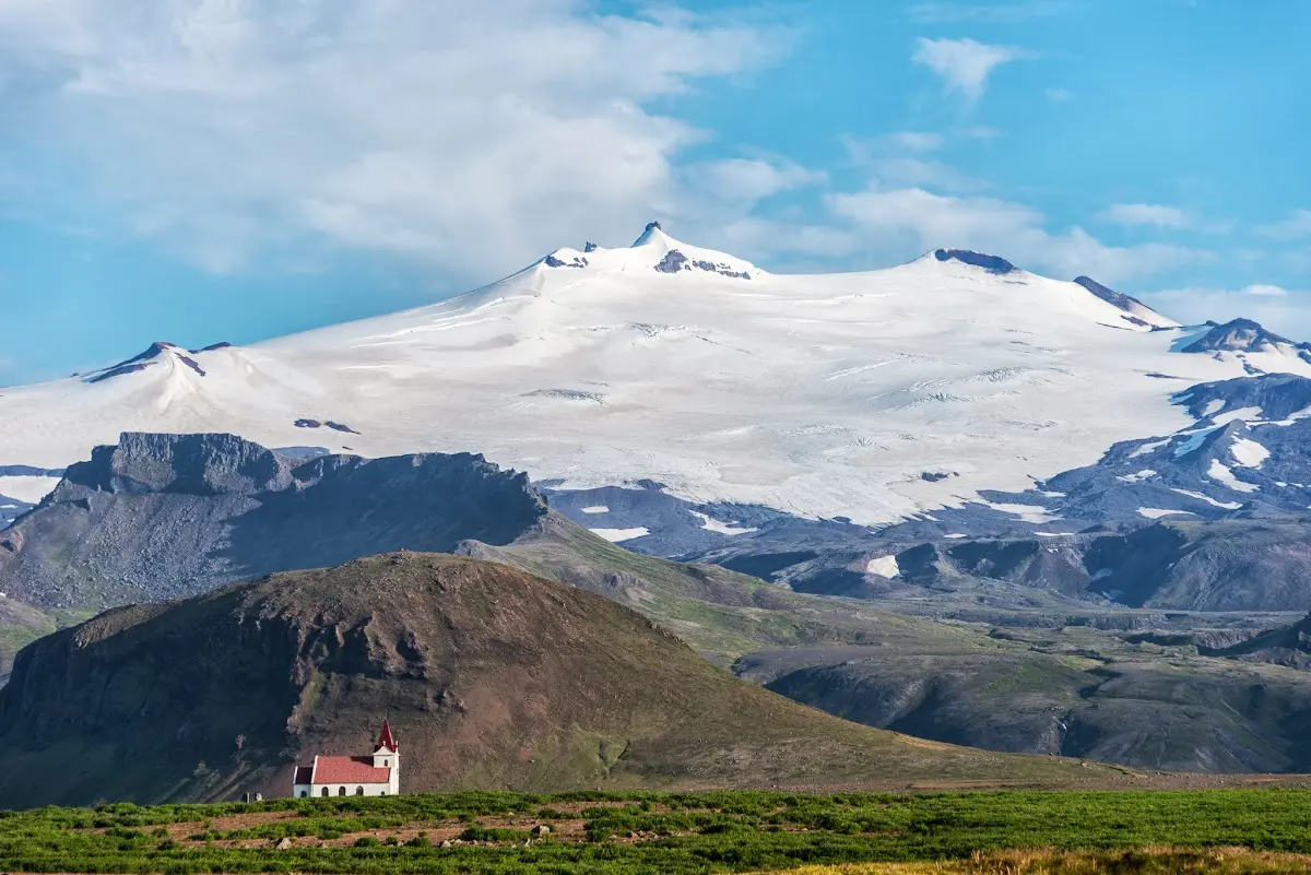
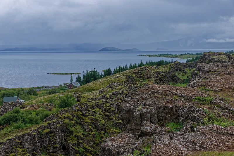
In (21) Þingvellir people met, as already mentioned above, once a year for a parliamentary assembly; from a geological point of view the place lies in the middle of a rift zone and is surrounded by four active volcanic systems.
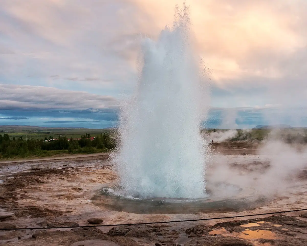
The (22) Geysir in the high-temperature area Haukadalur gave its name to hot water fountains worldwide; shown here is the neighbouring geyser Strokkur, which erupts every few minutes and whose water column reaches up to 35 m...
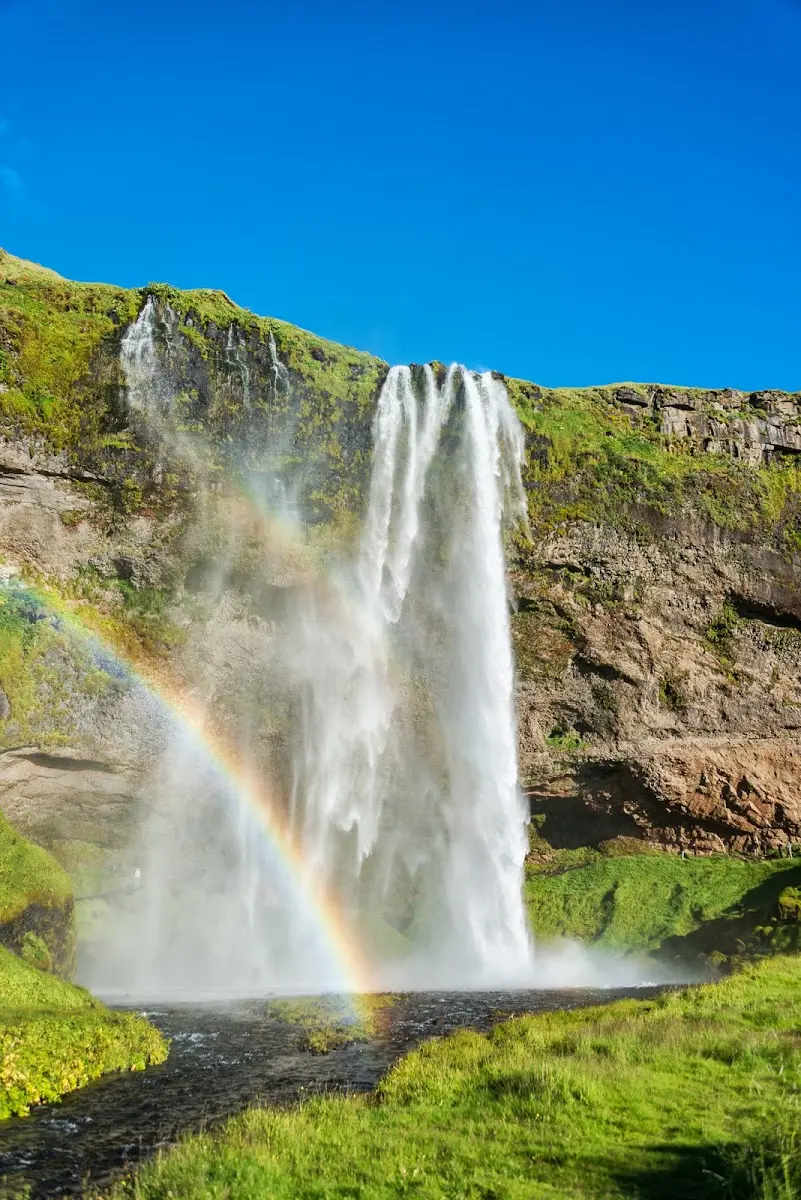
Near the quite worthwhile (23) Seljalandsfoss the harbour Landeyjahöfn was built; from there the crossing to the
(24) Vestmannaeyjar, the Westman Islands, takes about 30 minutes. The islands are of volcanic origin, about 70,000-100,000 years old, and last gained considerable new land 50 and 40 years ago.
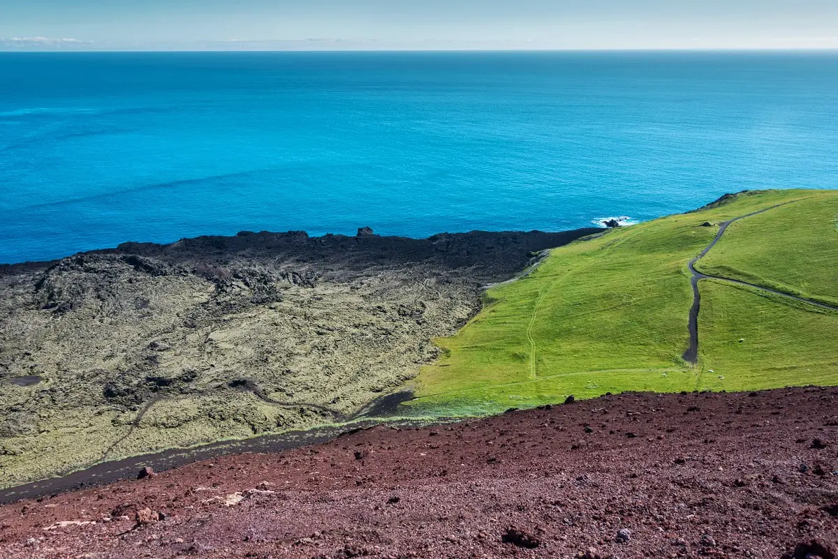
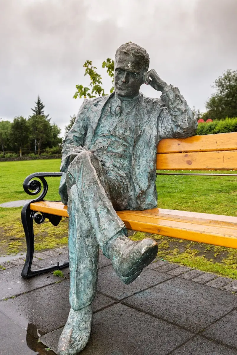
Finally I spent a few days in the capital (25) Reykjavík, visited museums and churches, thought about my past weeks in Iceland
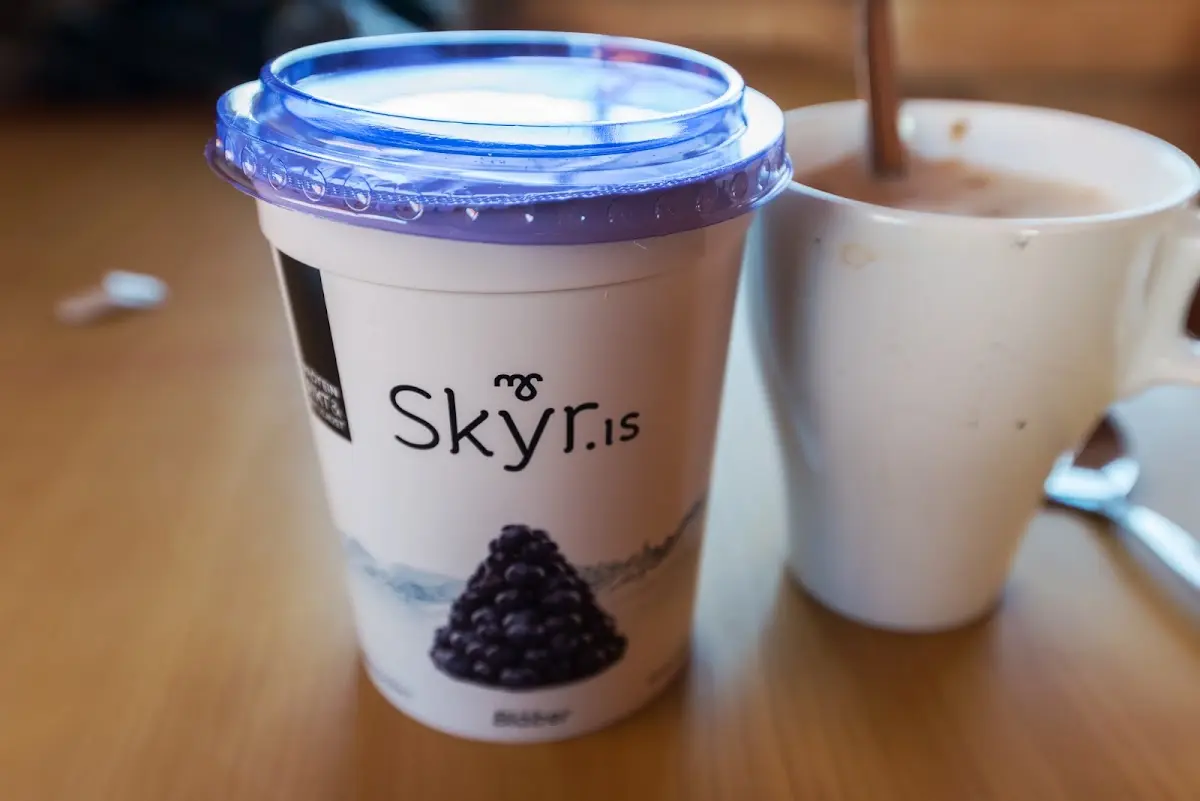
and ate skyr and drank coffee.
.
That was the quick run-through to introduce the individual stops of the trip briefly and give some orientation. If you feel like more pictures and a more detailed report, click through to the first part of the trip...