Iceland by Bike 2013 - Part 5
Deutsch | English
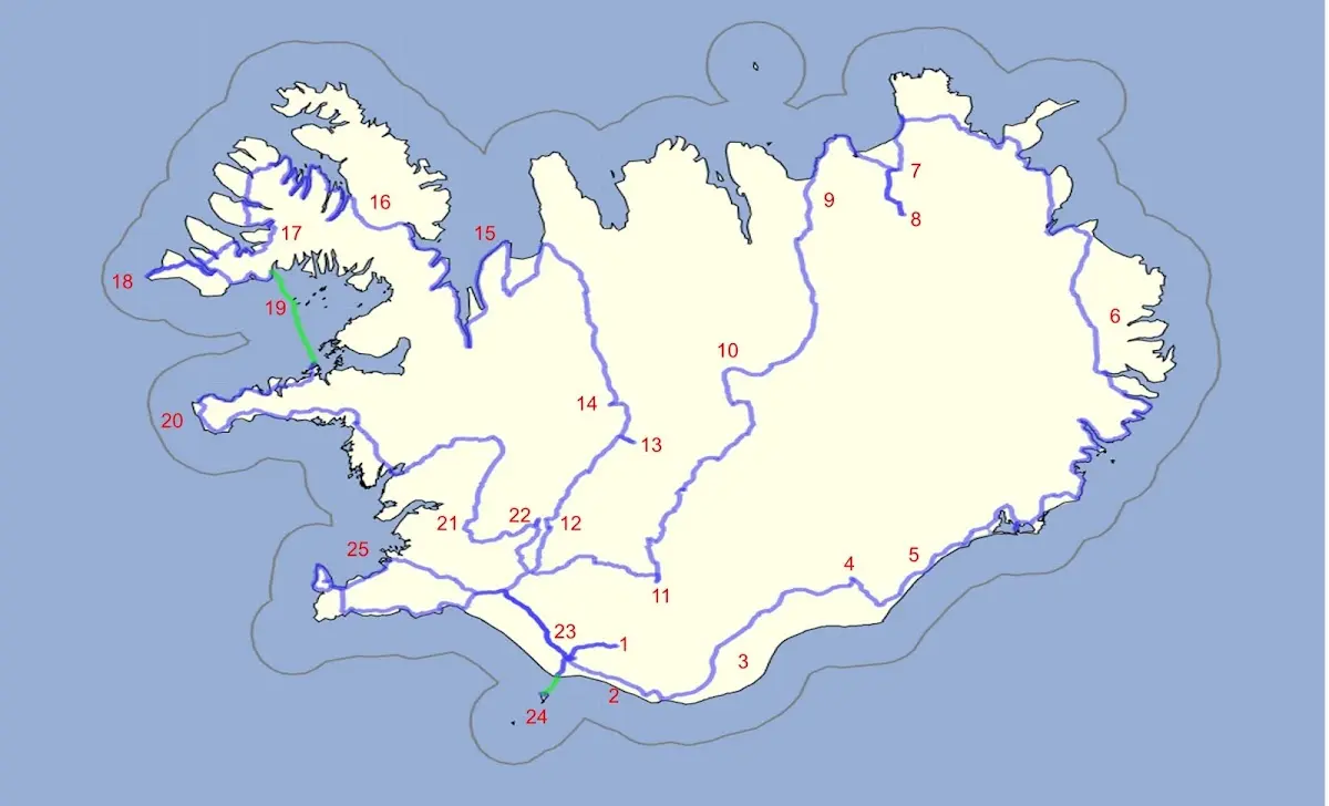
1 Þórsmörk hiking area 2 Between Skógafoss and Vik 3 Mýrdalssandur and other sandur plains 4 Skaftafell and Svartifoss 5 Jökulsárlón 6 The East Fjords and the northeast of Iceland 7 Asbyrgi and 8 Dettifoss 9 Husavik | 10 Highland track Sprengisandur 11 Landmannalaugar 12 Gullfoss 13 Kerlingarfjöll 14 Hveravellir 15 Vatnsnes peninsula 16 The Westfjords 17 Dynjandi waterfall | 18 Látrabjarg 19 Flatey 20 Snæfellsnes 21 Þingvellir 22 Geysir 23 Seljalandsfoss 24 Vestmannaeyjar 25 Reykjavík |
I now leave the Westfjords area and in the evening take the ferry Baldur from Brjánslækur to the island of Flatey.
19 Flatey
At the ferry port Brjánslækur I had a lot of time before departure and read the crime novel “Flateyjargáta”, “The Flatey Enigma”, by the Icelandic author Viktor Arnar Ingólfsson. Besides the crime story the book also refers to the book Flateyjarbók, the most extensive manuscript collection of early Icelandic times, which was not written in Flatey but was kept in Flatey for a while and got its name from that time. The Bishop of Skálholt, Brynjólfur Sveinsson, gave the Flateyjarbók to the Danish king in the 17th century, and it was only returned to Iceland in 1971.
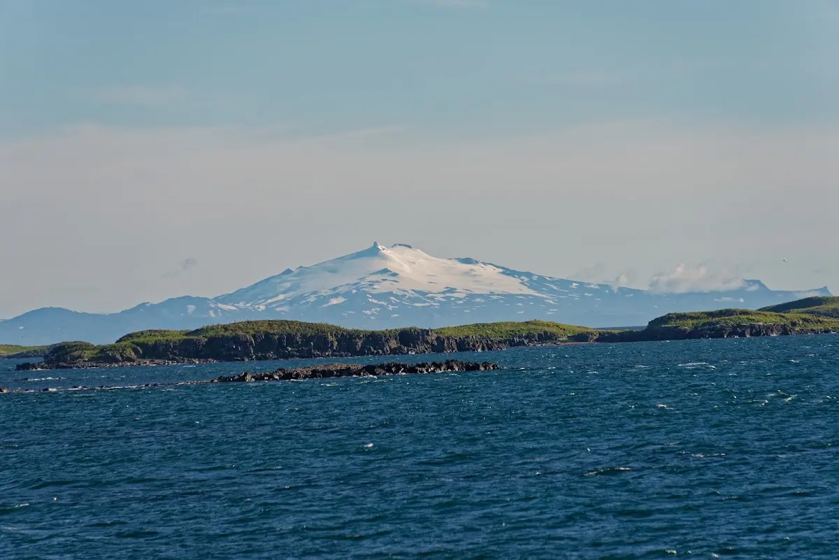
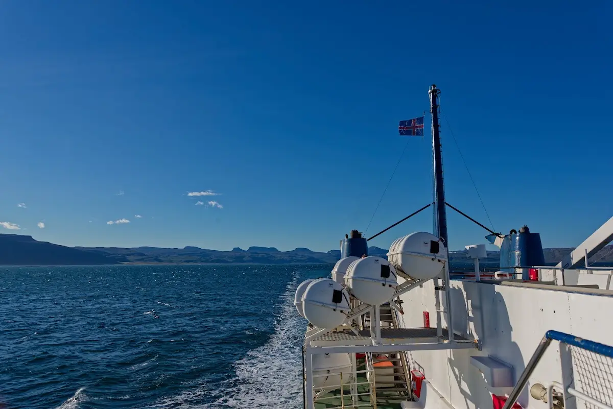
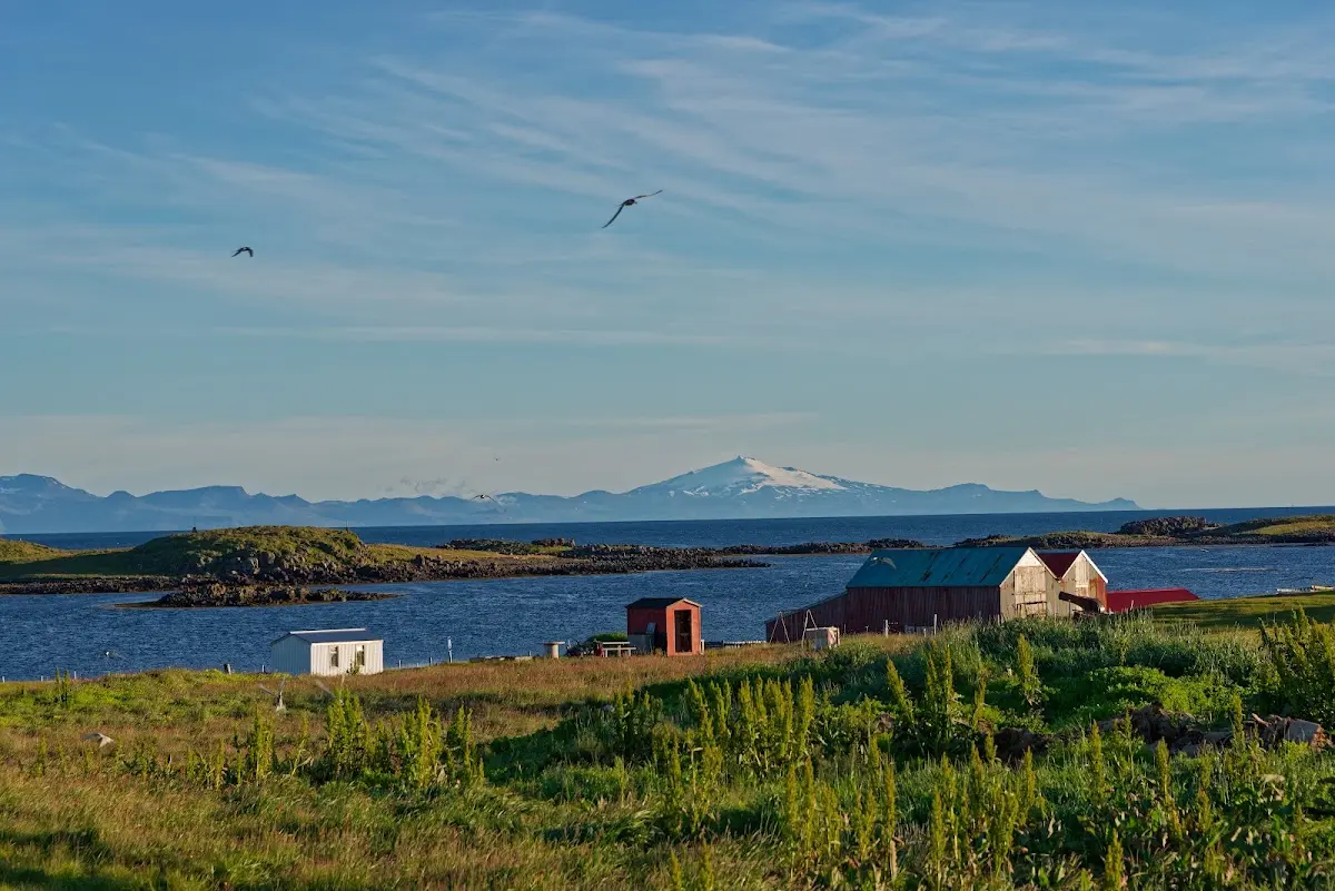
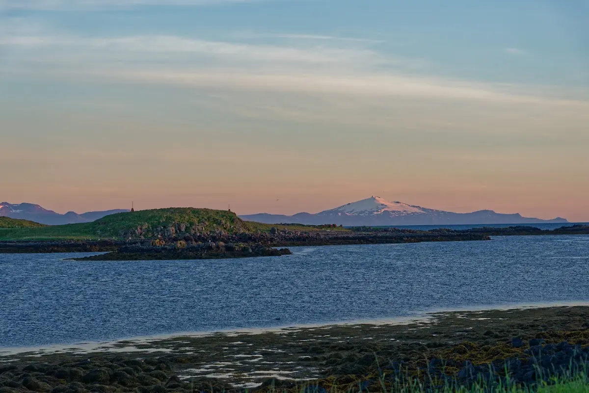
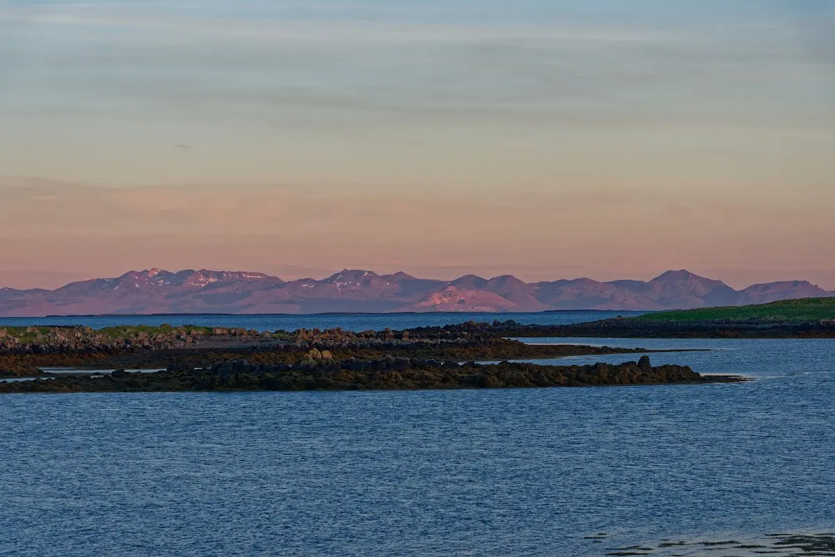
During the ferry crossing the weather was clear (and windy) and you could see the Snæfellsjökull in the distance.
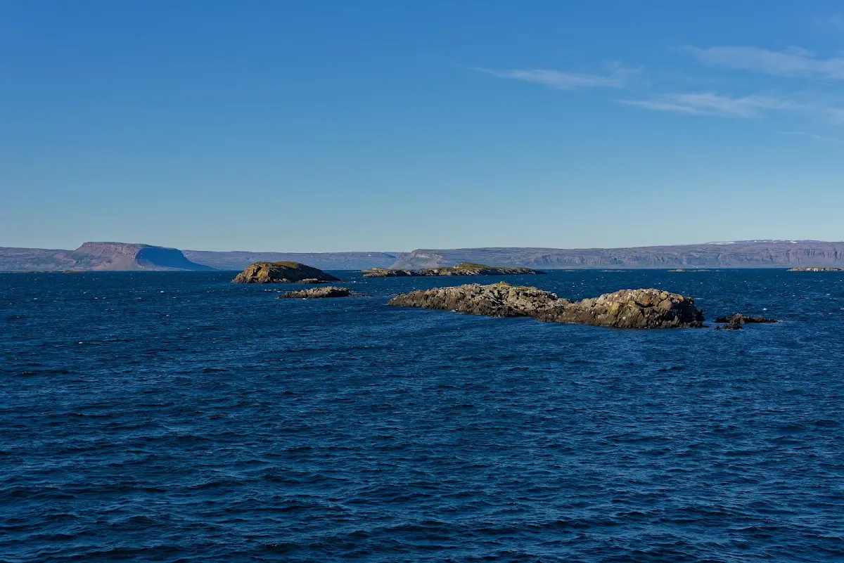
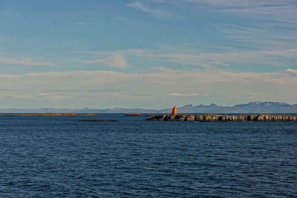
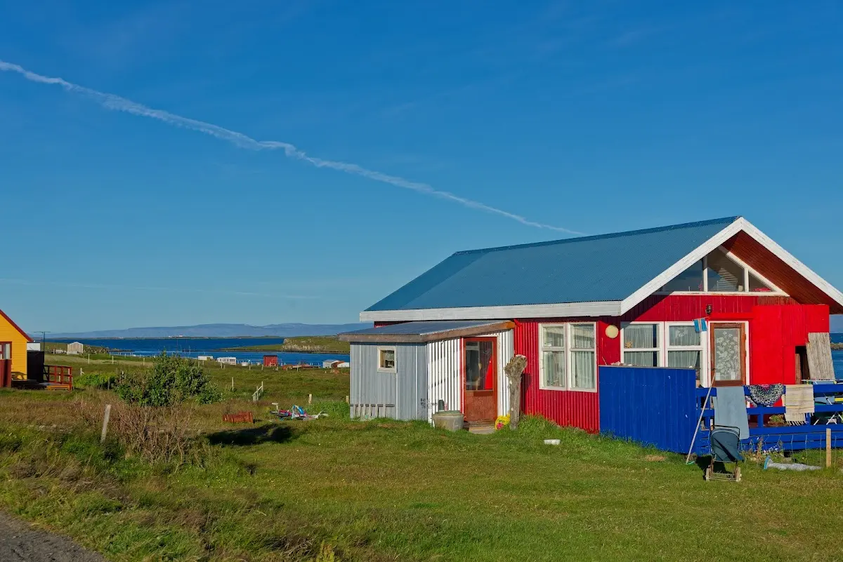
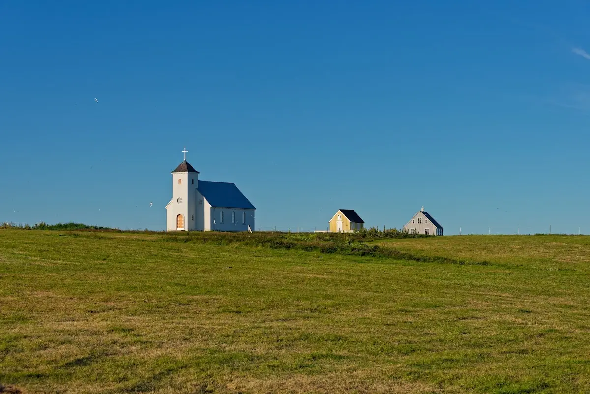
The evening and the next morning were very relaxed. On the island, 2 km long and at most 400 m wide, there are no cars. The island has been continuously inhabited since the Landnám, but today only 10 residents are registered in Flatey. The rest of the houses are apparently holiday homes lived in from time to time.
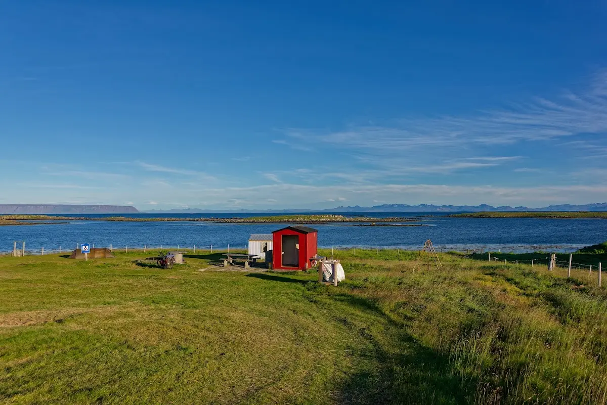
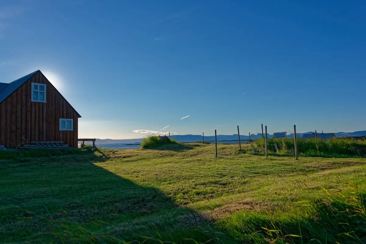
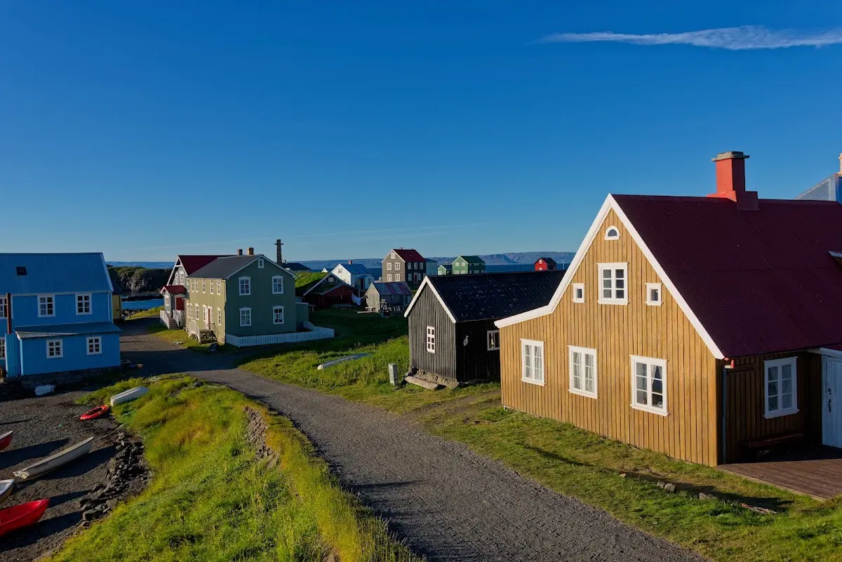
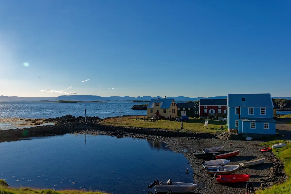
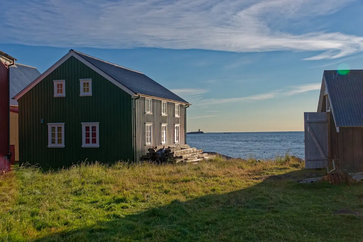
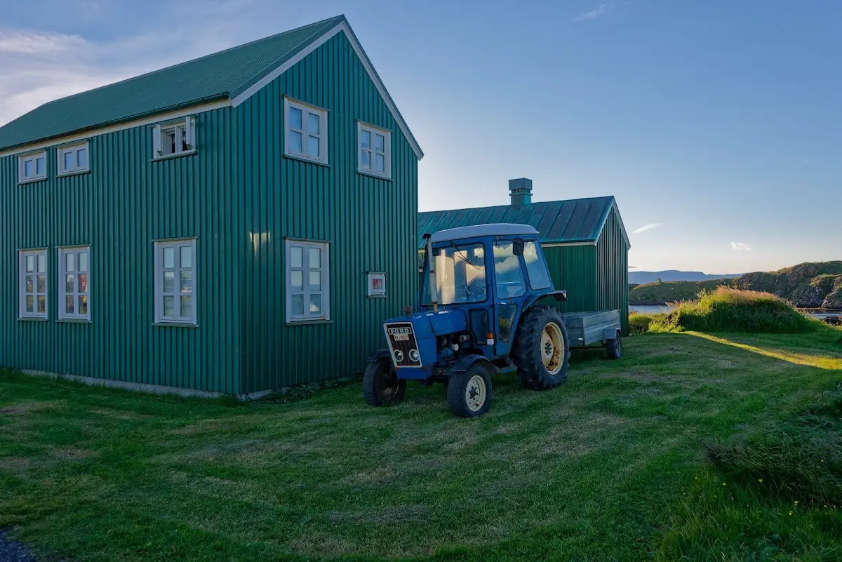
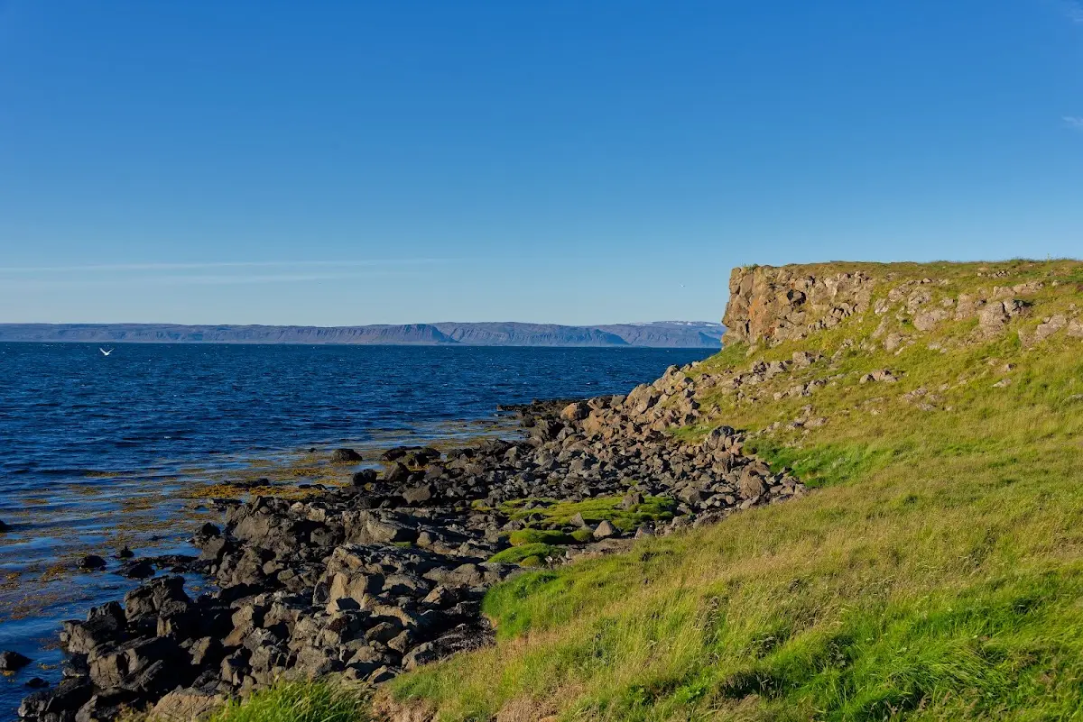
I did not lock my bike on the island at night :) , the ferry Baldur came by again at 10:30 in the morning...
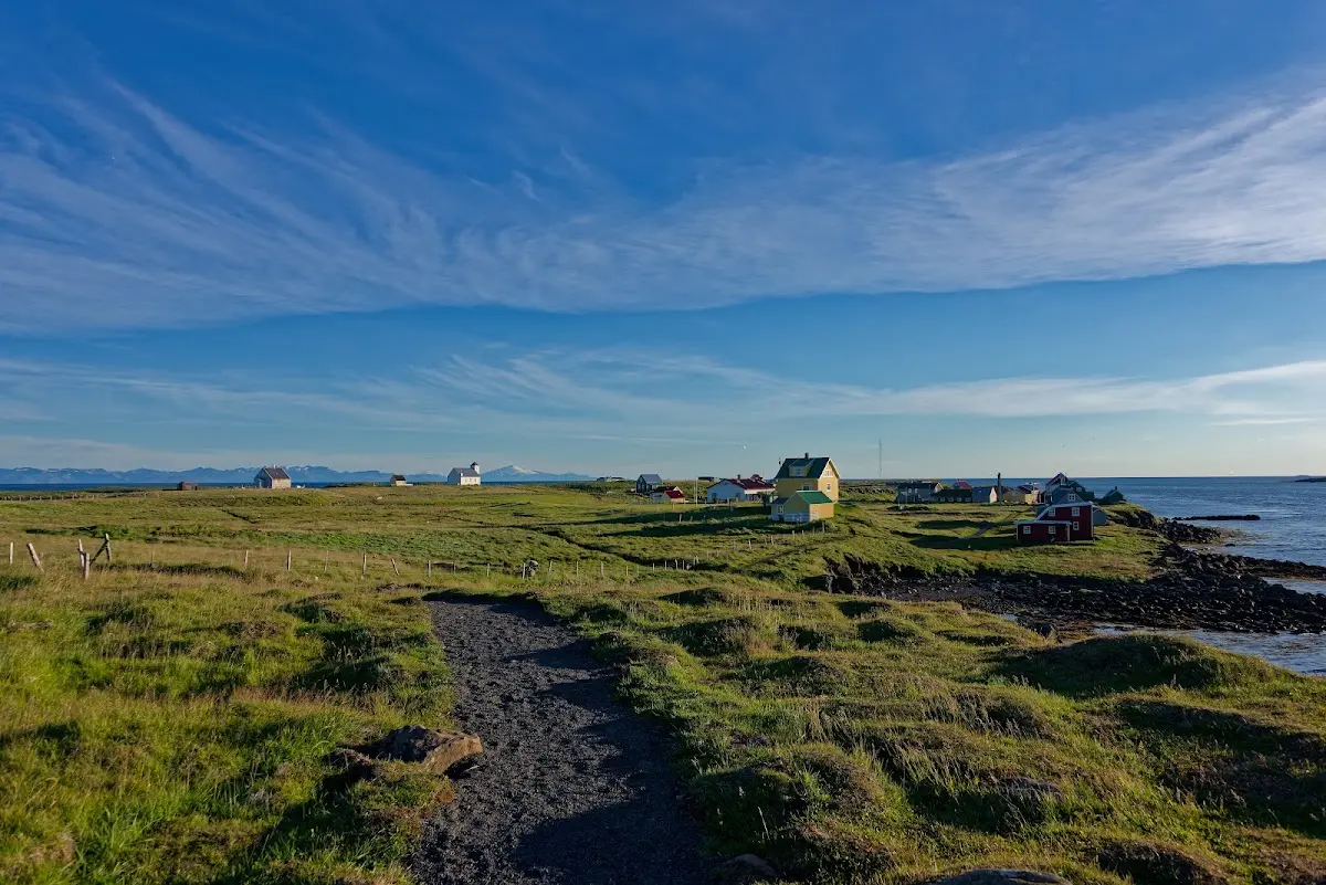
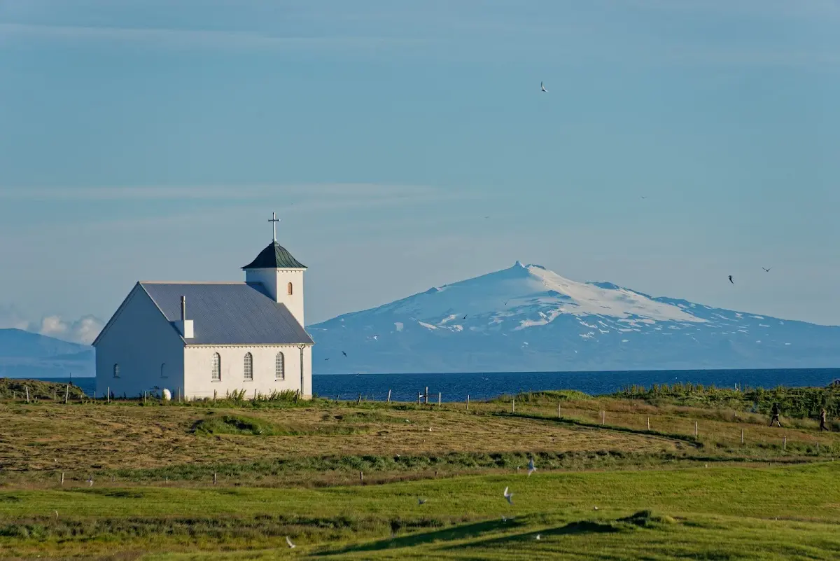
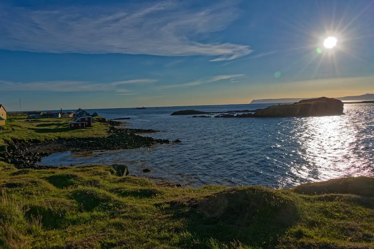
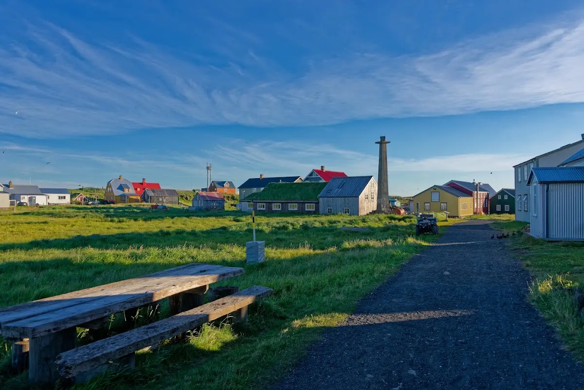
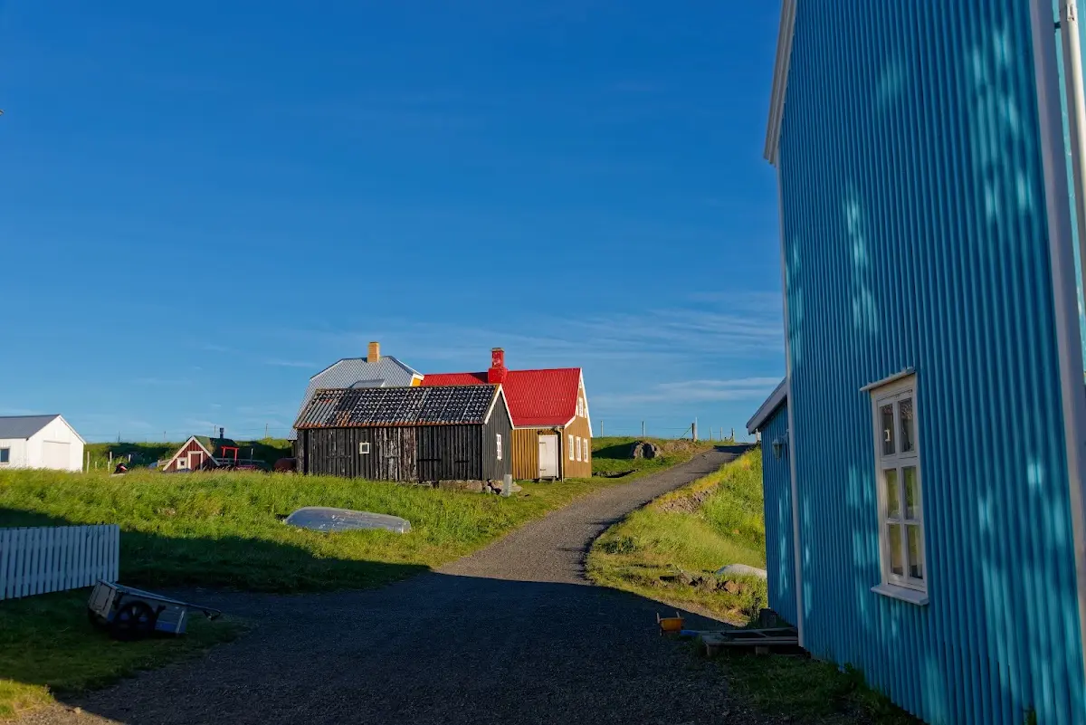
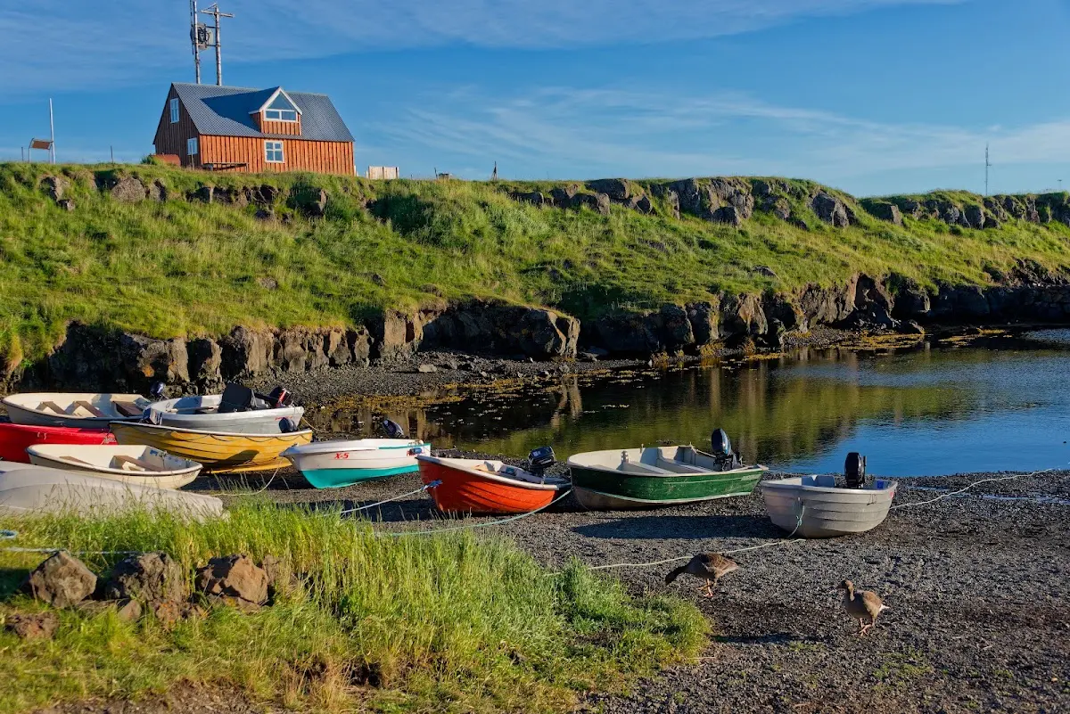
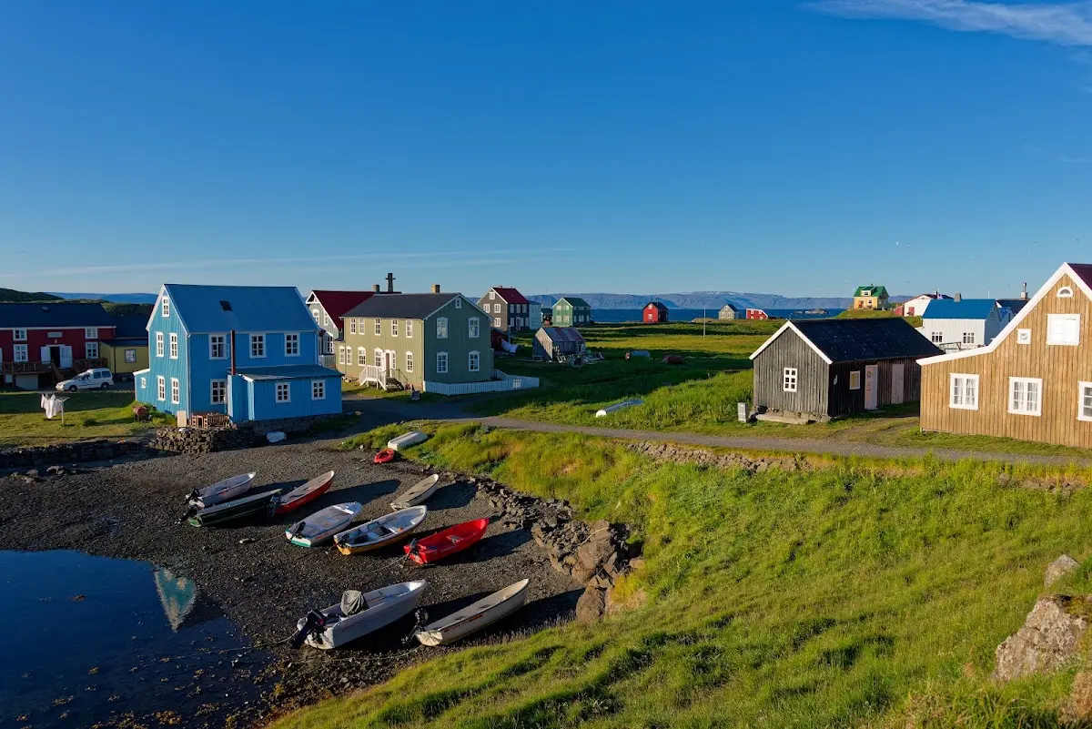
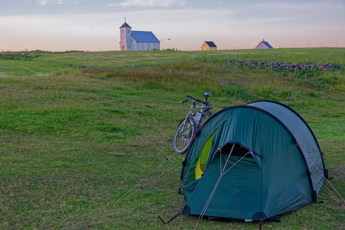
A recumbent cyclist from Germany was on the ferry, and we stayed overnight on the campsite in Flatey next to the tent of a photographer who has done some exciting book projects and is working on more right now, and who was travelling with his family. It made me very happy to chat the morning away over a Greek coffee and chocolate until the ferry arrived.
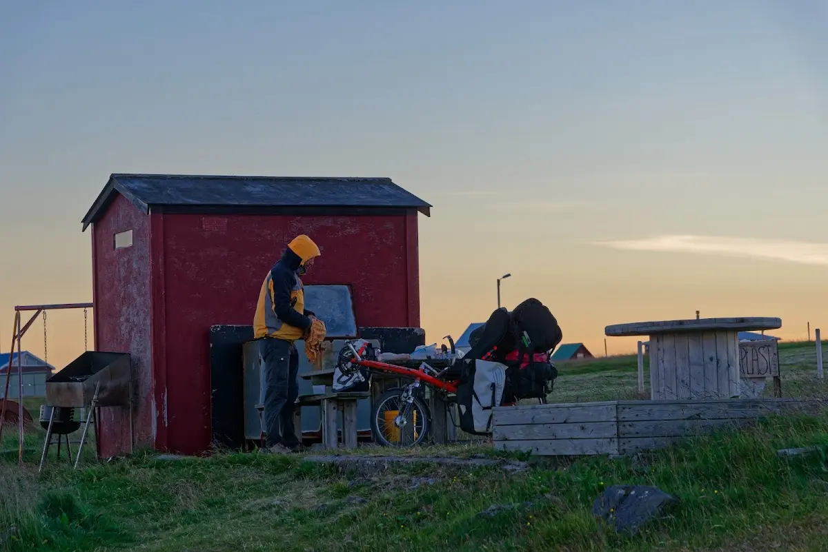
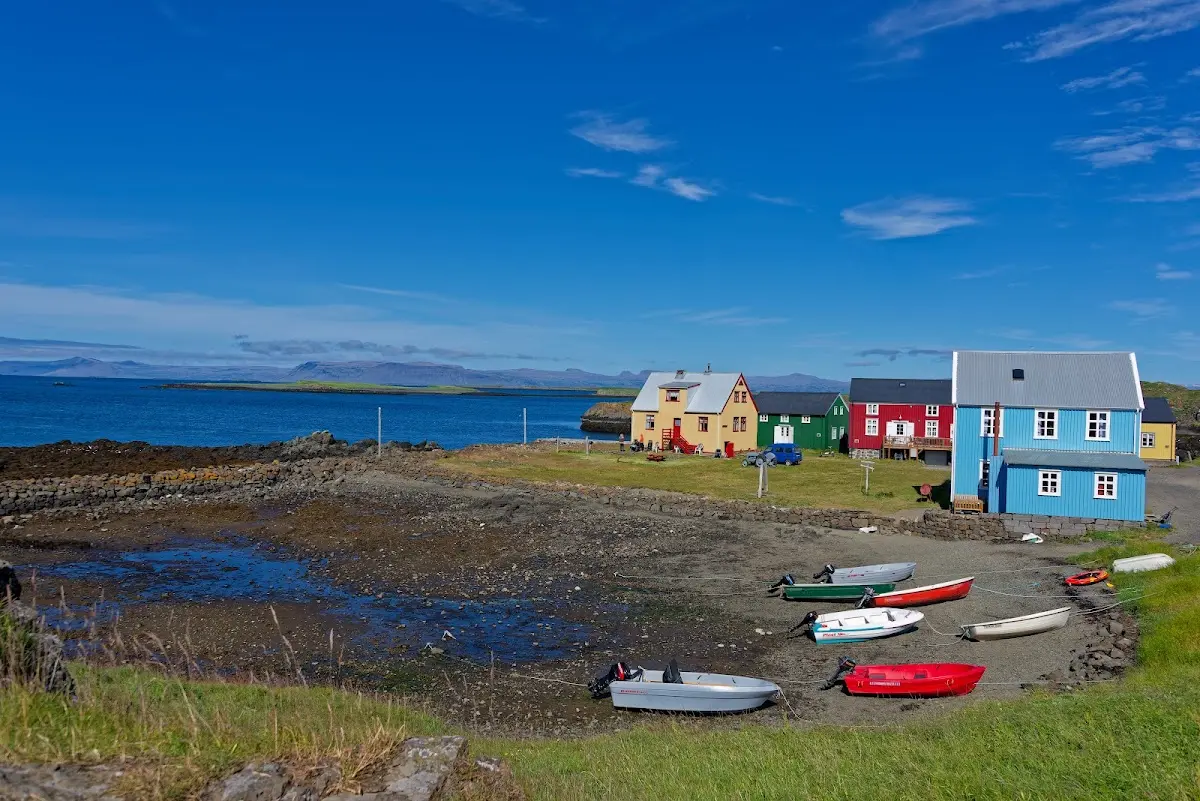
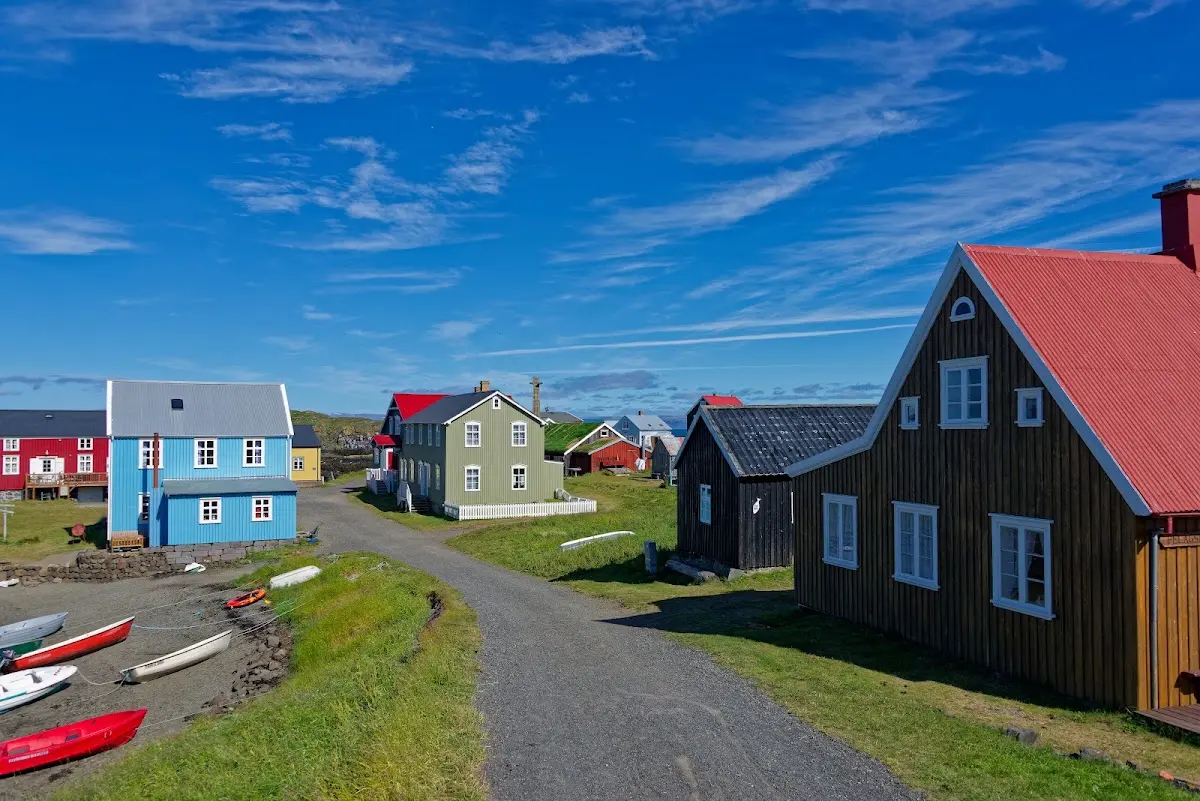
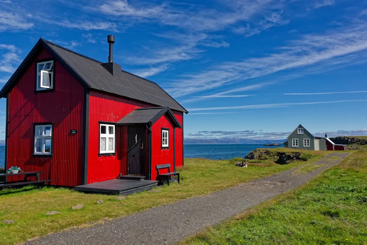
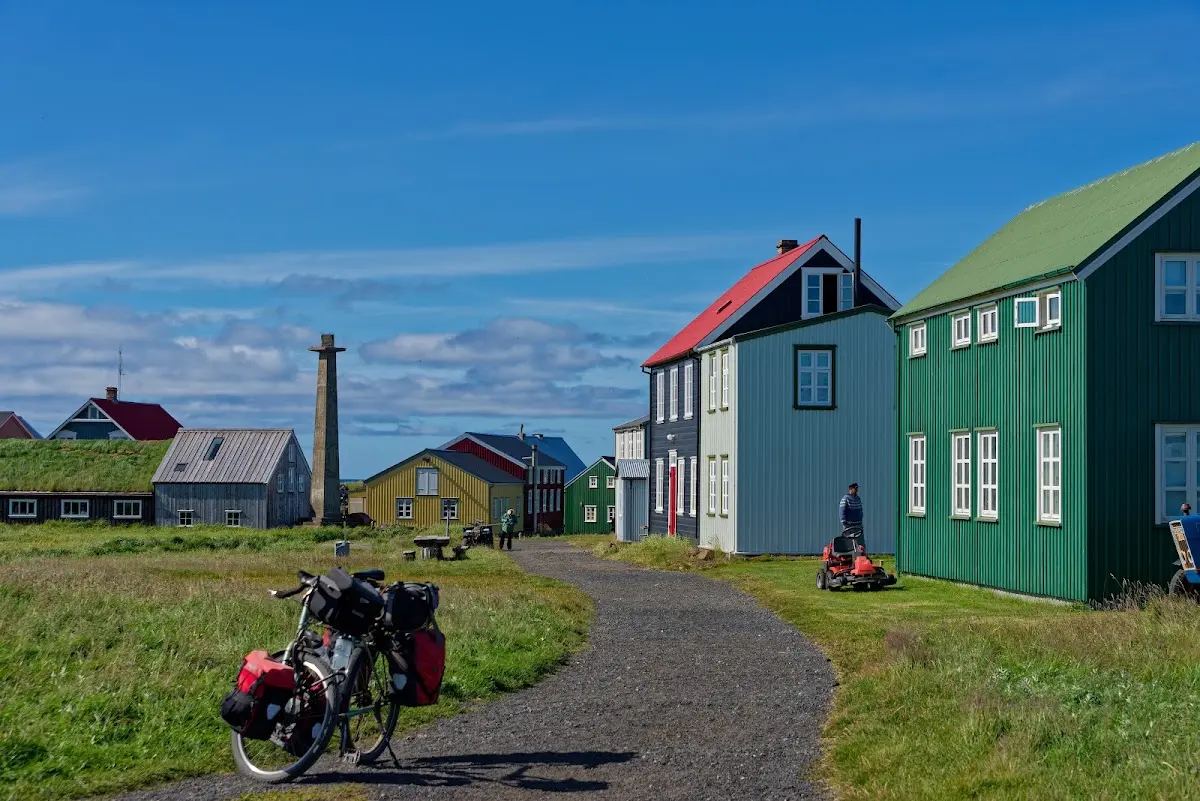
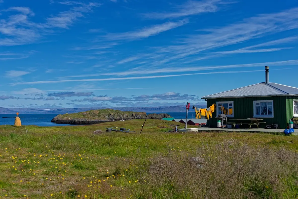
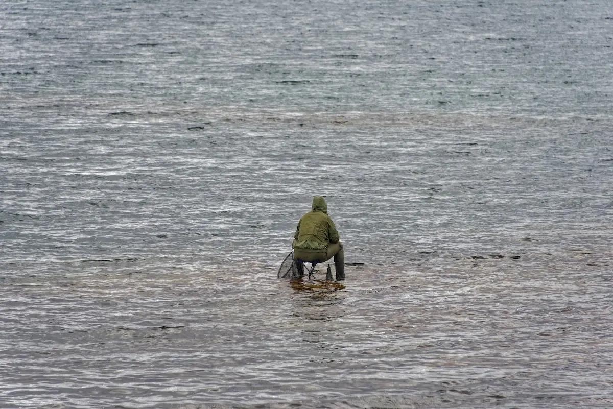
Fishing is of course an issue in Flatey, as almost everywhere in Iceland. Here the catch is being dried.
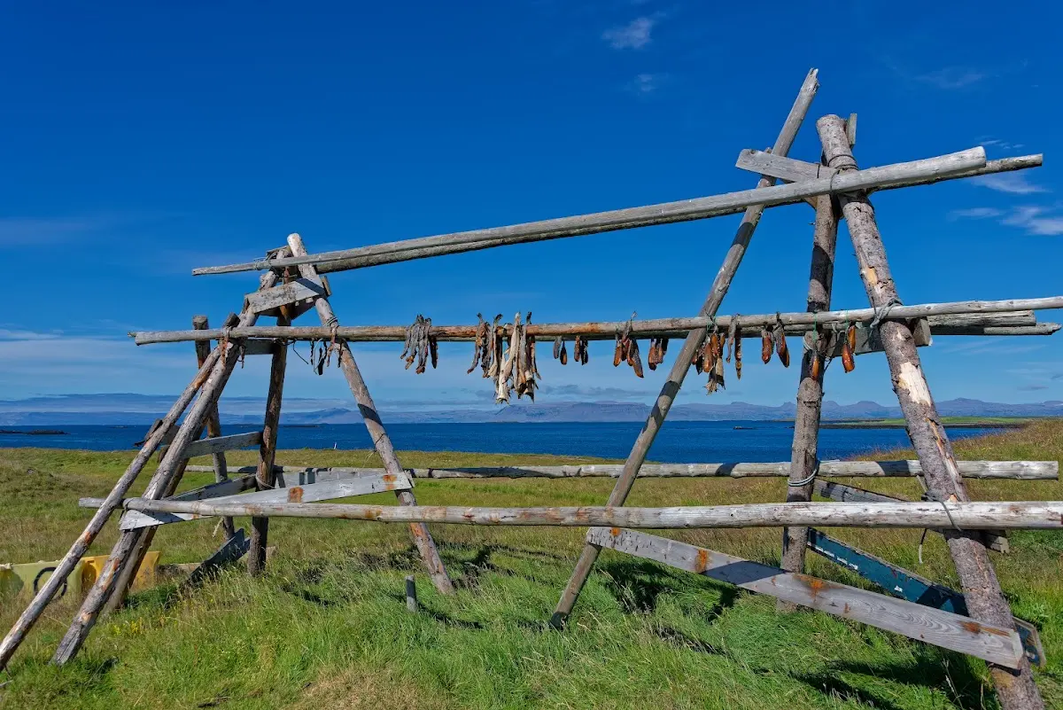
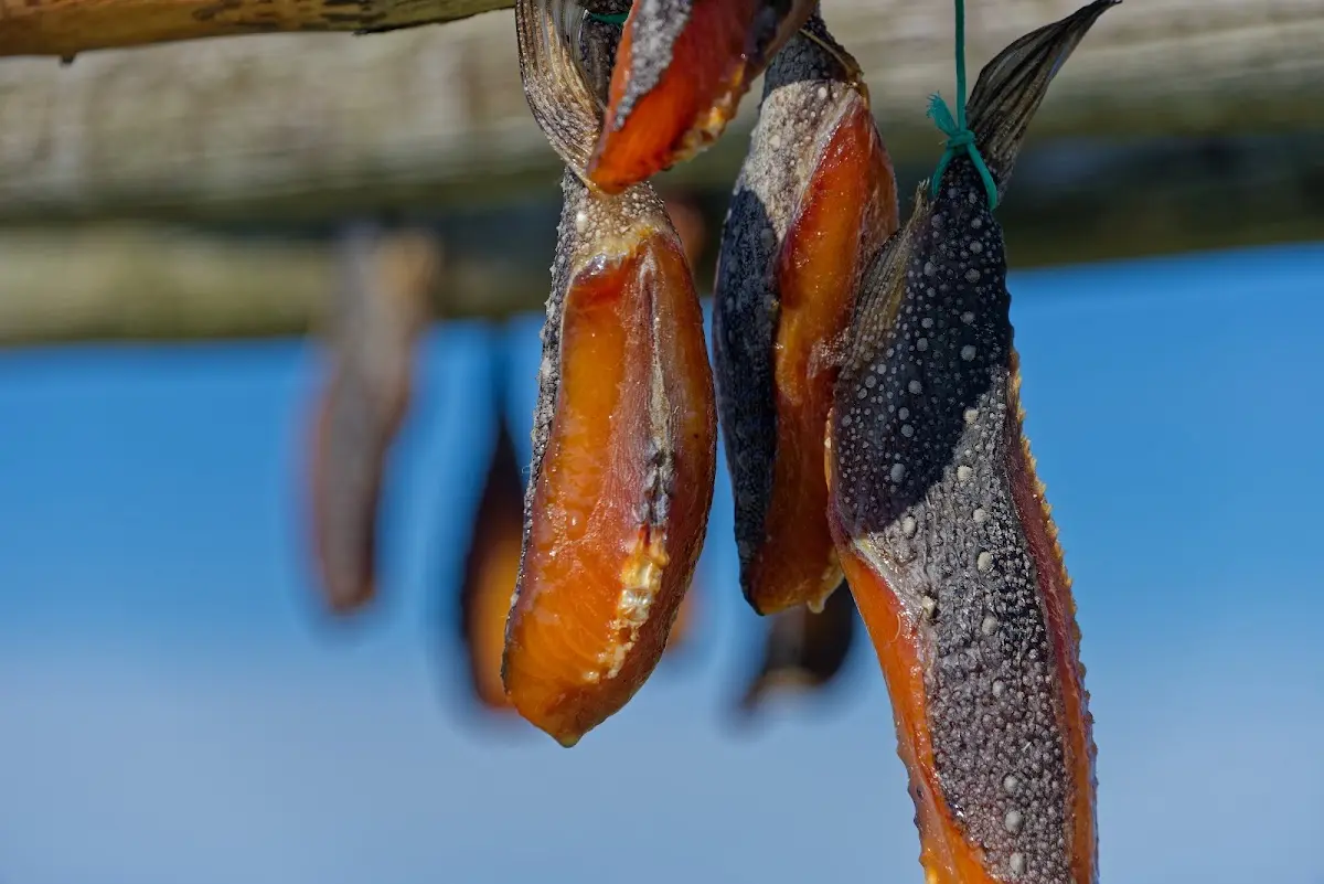
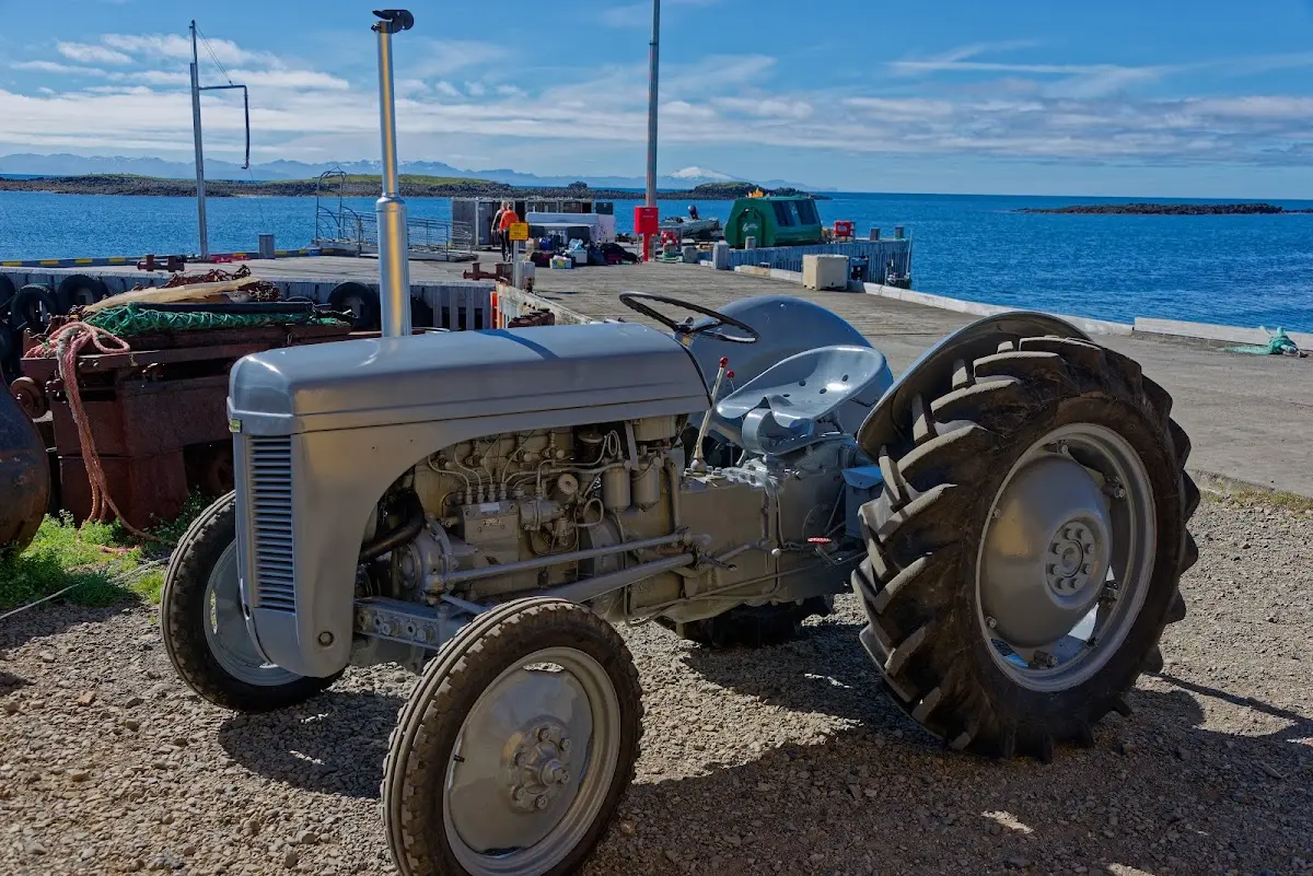
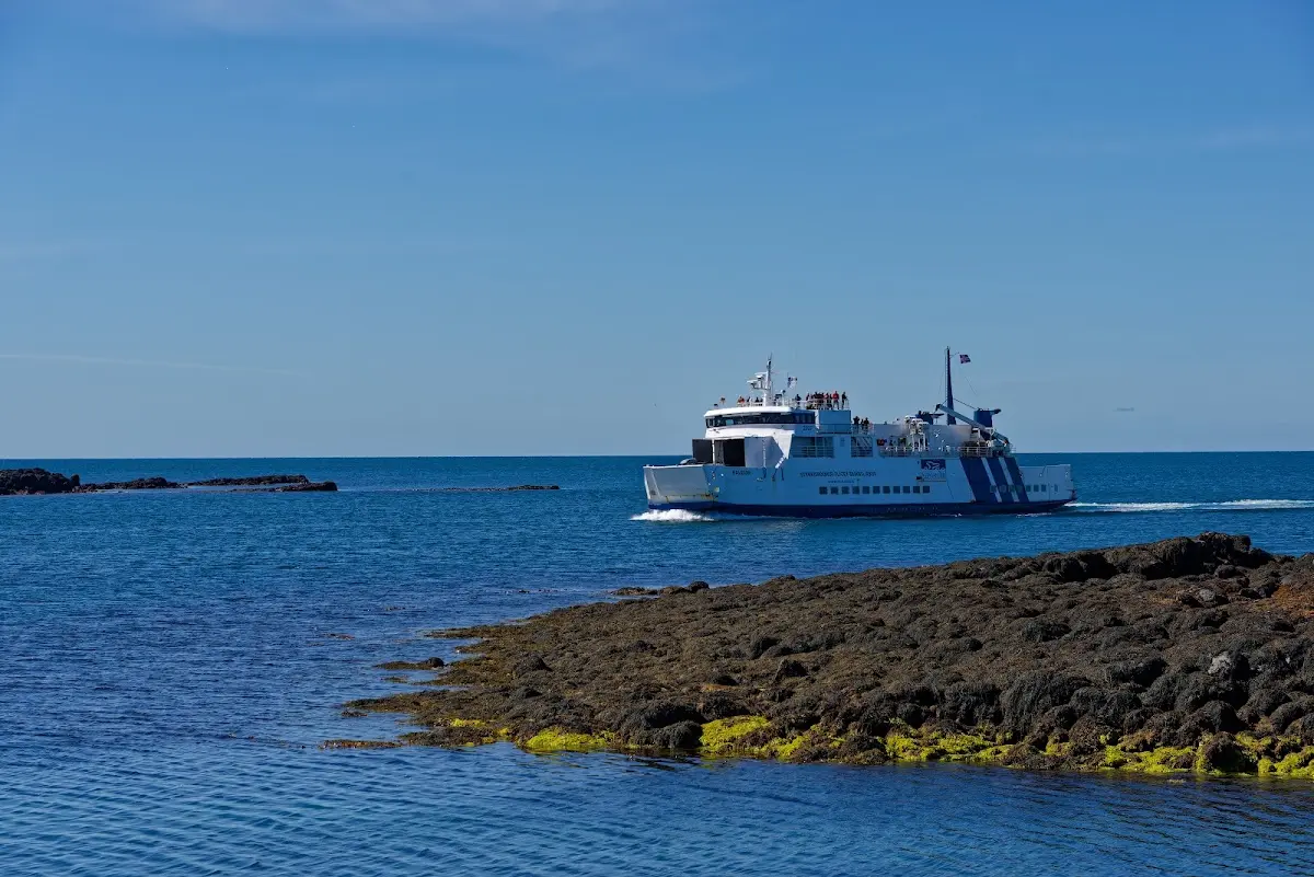
I had the impression that all the island’s residents gathered at the landing when the ferry docked at noon... and it brought me to Stykkishólmur in the north of the Snæfellsnes peninsula.
20 Snæfellsnes
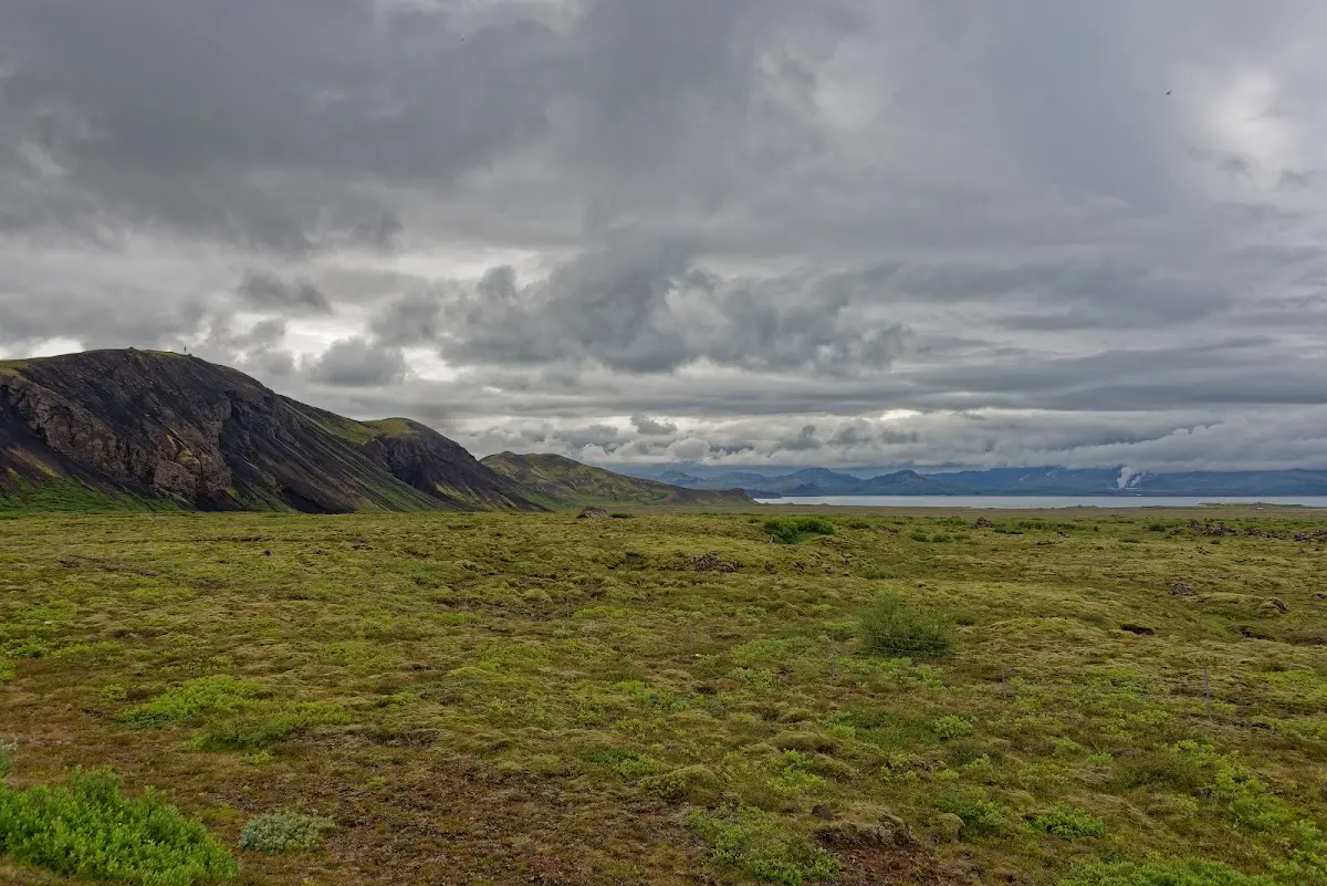
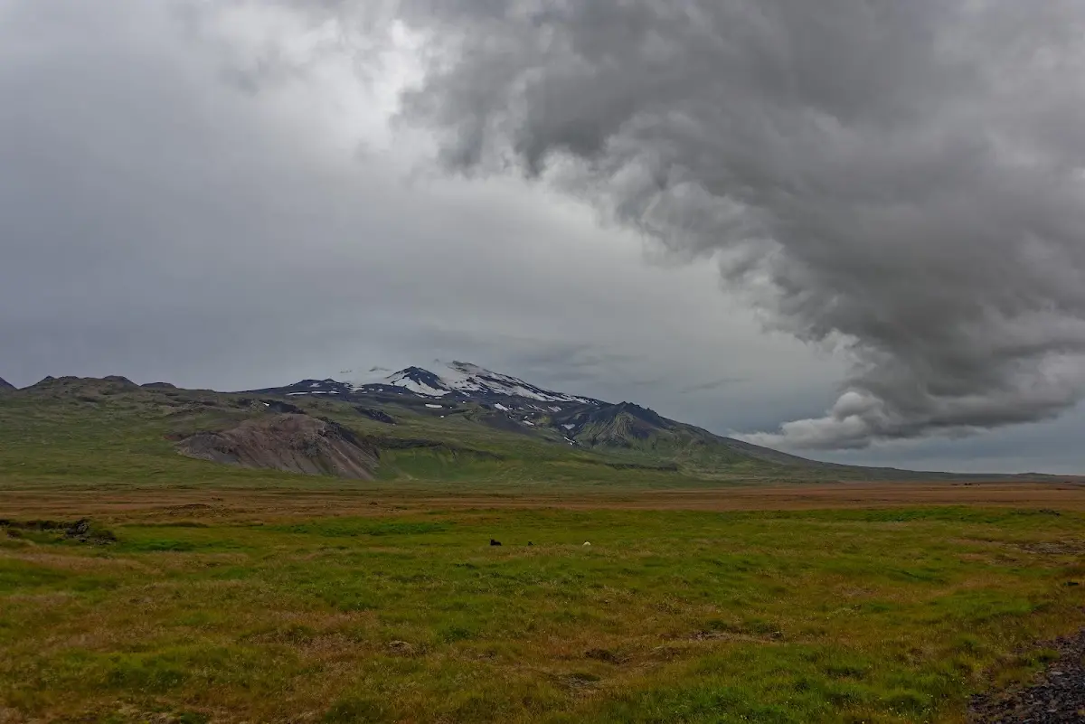
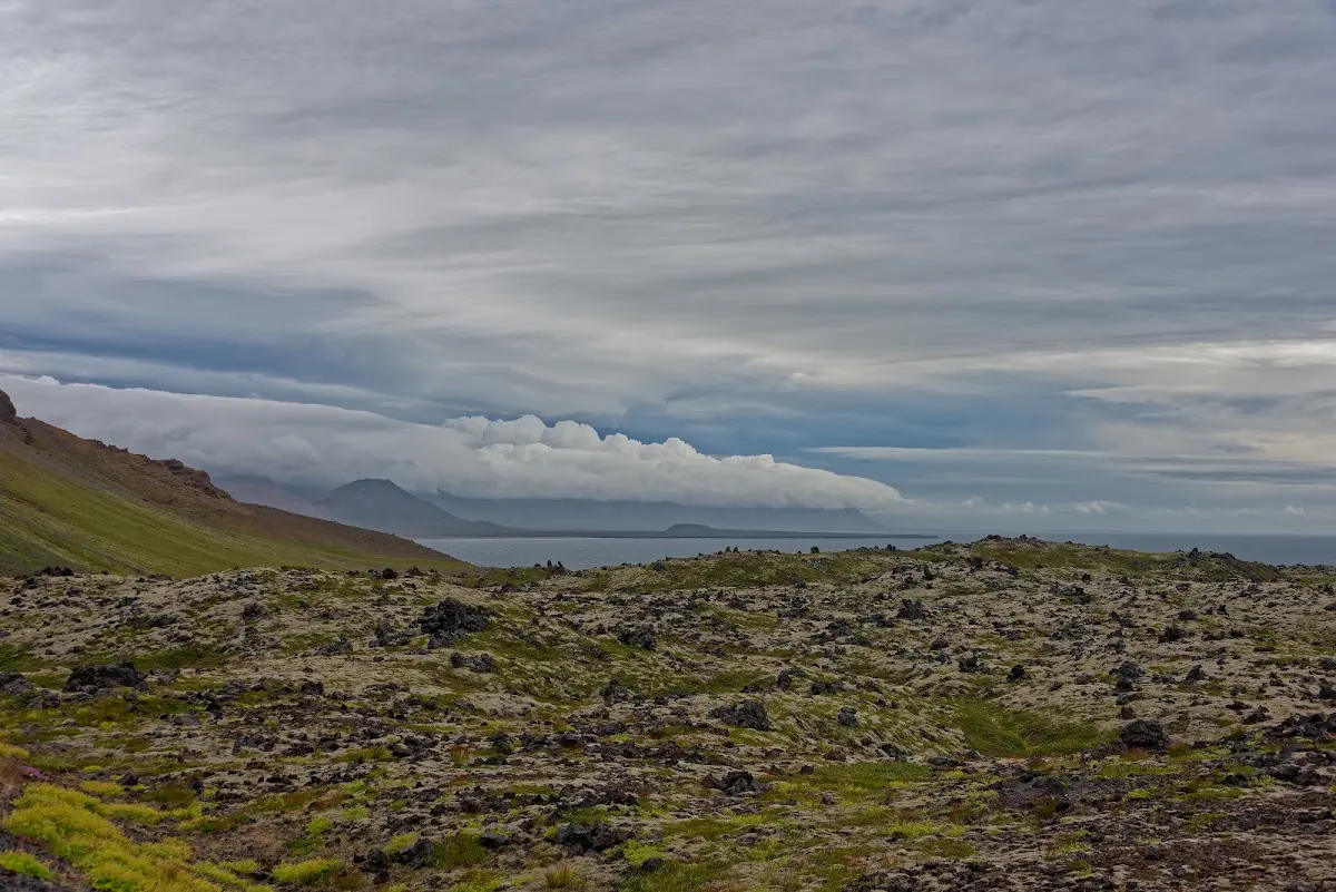
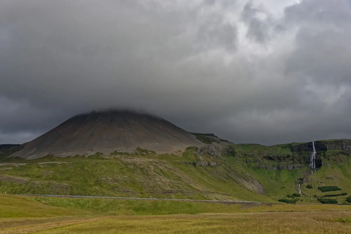
Snæfellsnes is also called Mini-Iceland, because all the charms of the big island are present in the smallest area. Lava fields...
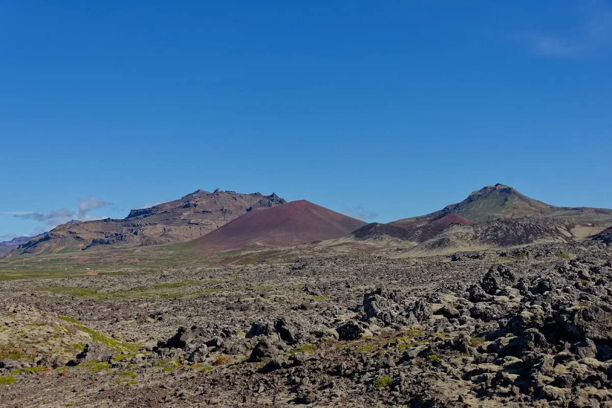
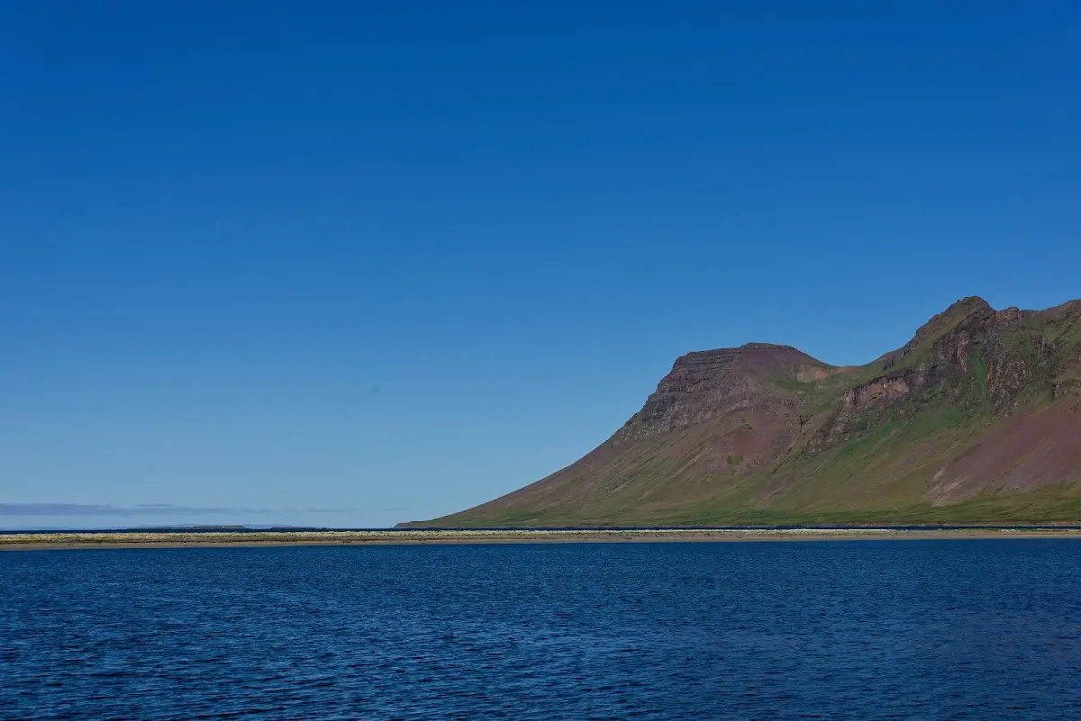
... fjords ...
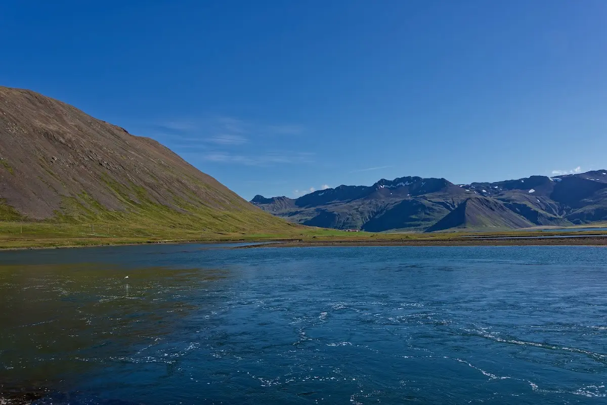
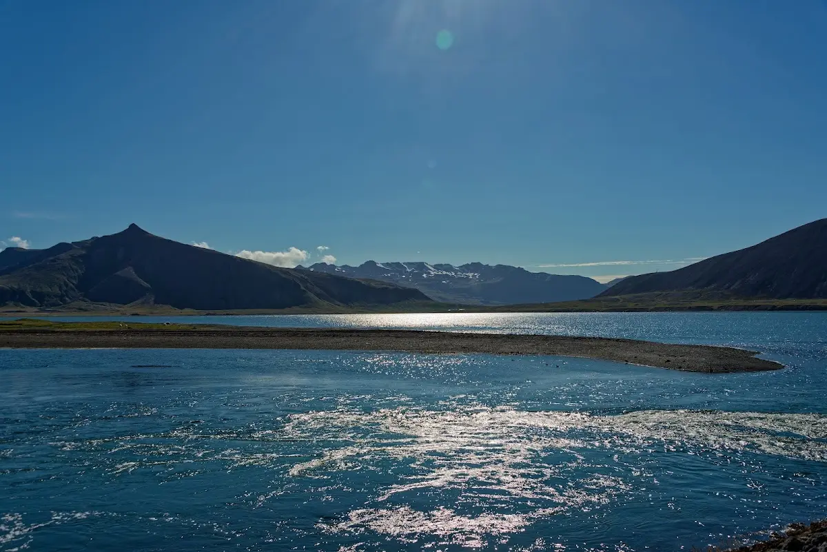
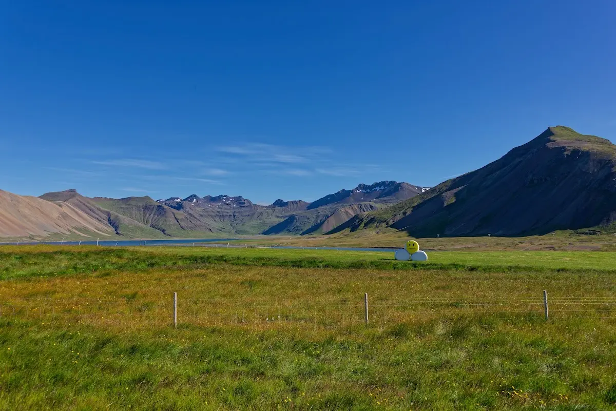
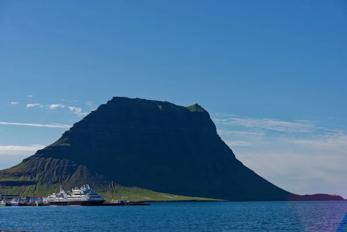
... smileys in the fields and glacier-shaped mountains like the Kirkjufell, which was ground smooth as a nunatak between ice-age glaciers.
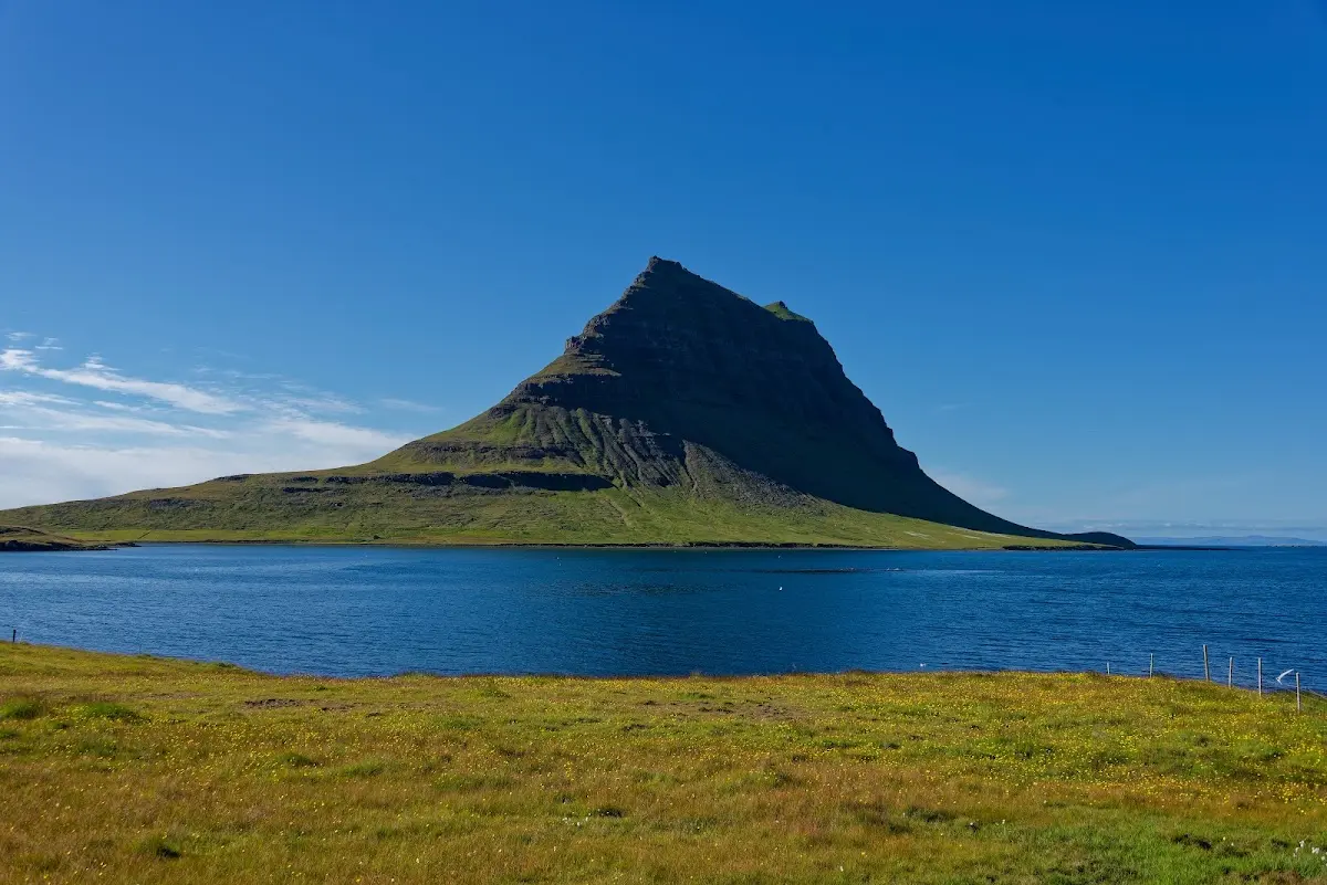
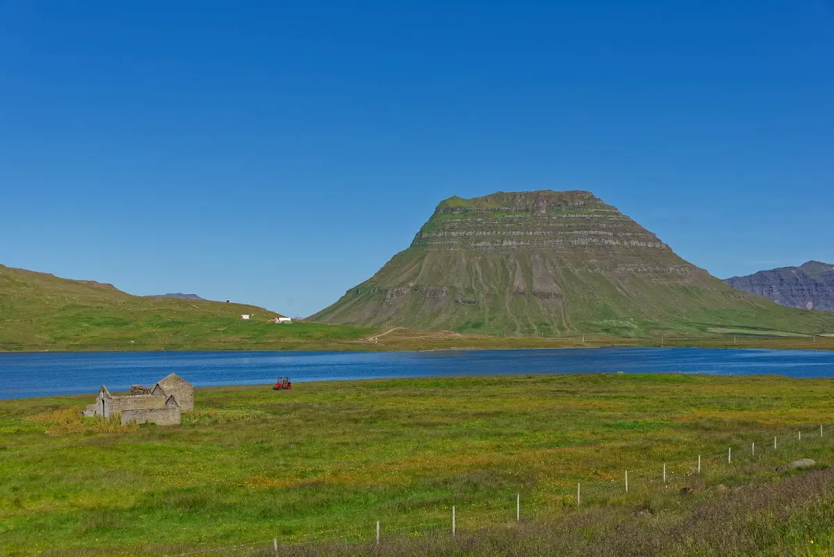
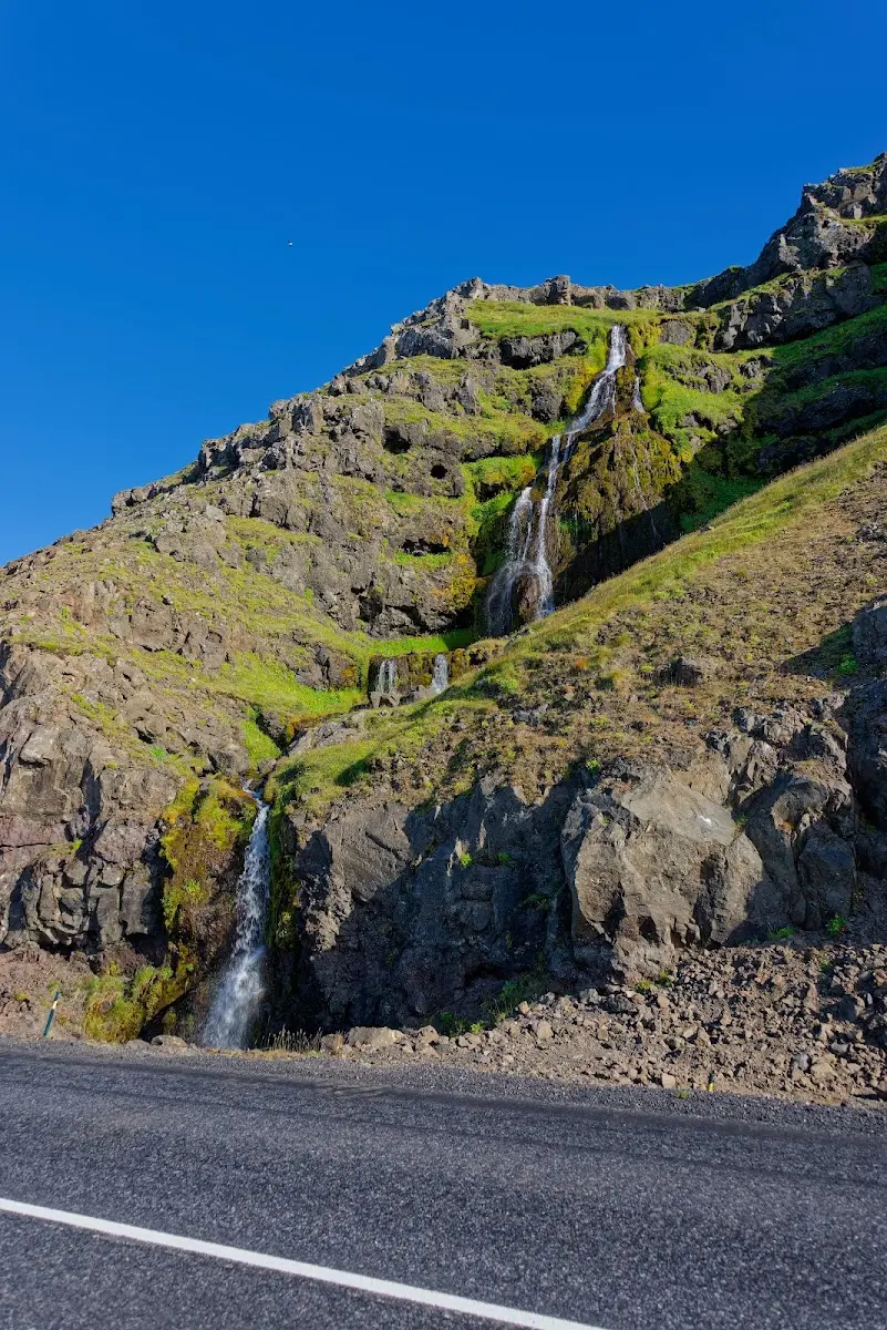
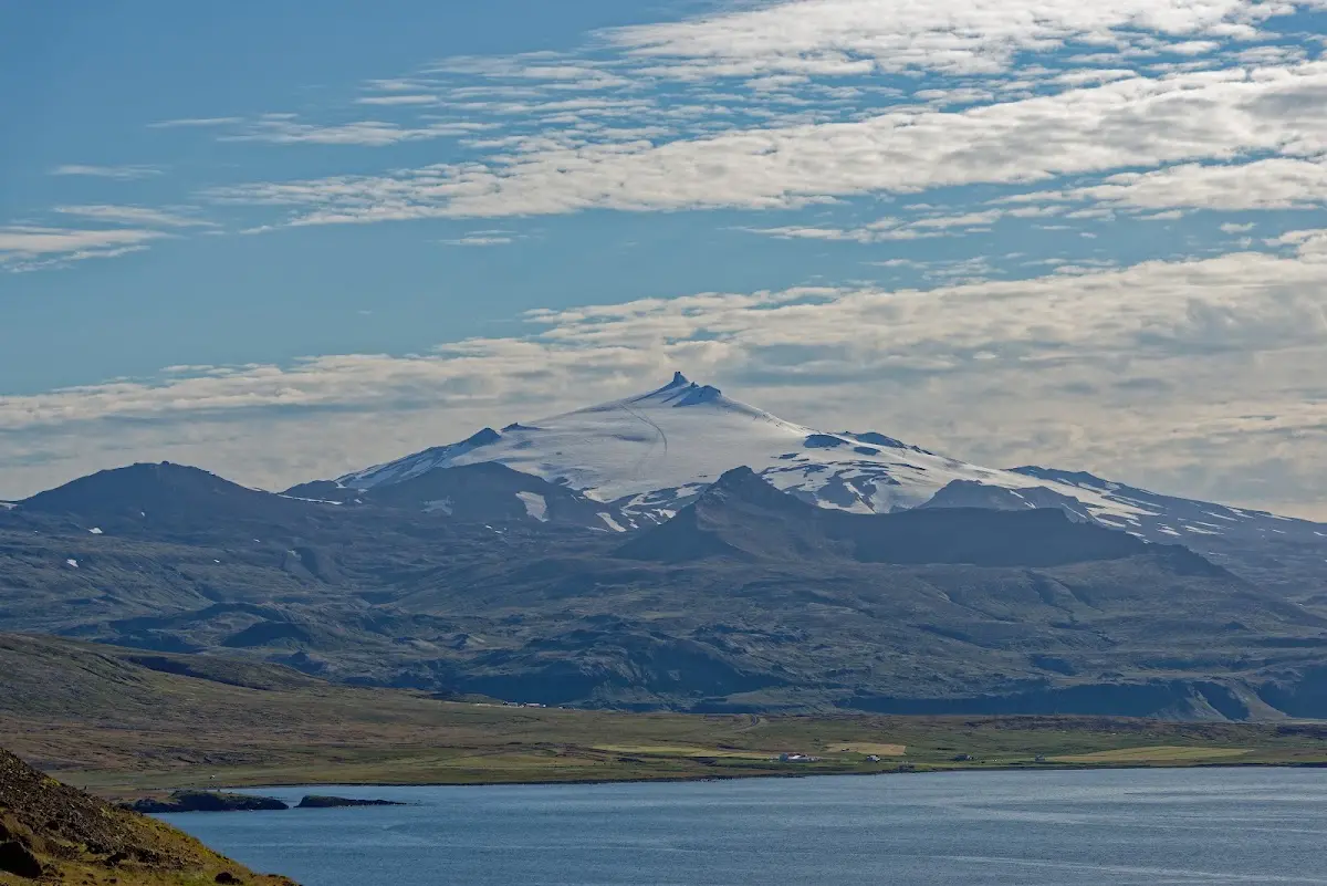
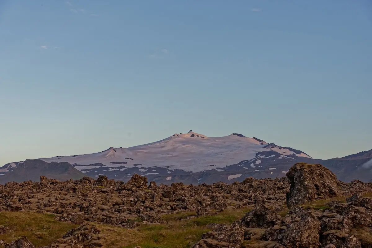
At the western end of the peninsula lies the Snæfellsjökull (“snow mountain glacier”), a 1446 m high stratovolcano and, according to Jules Verne, the entrance to the centre of the Earth...
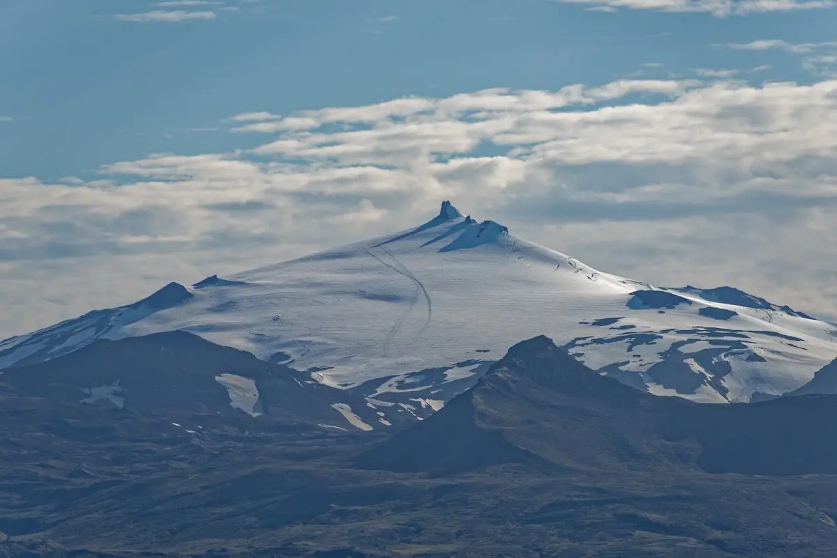
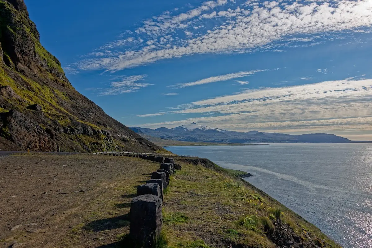
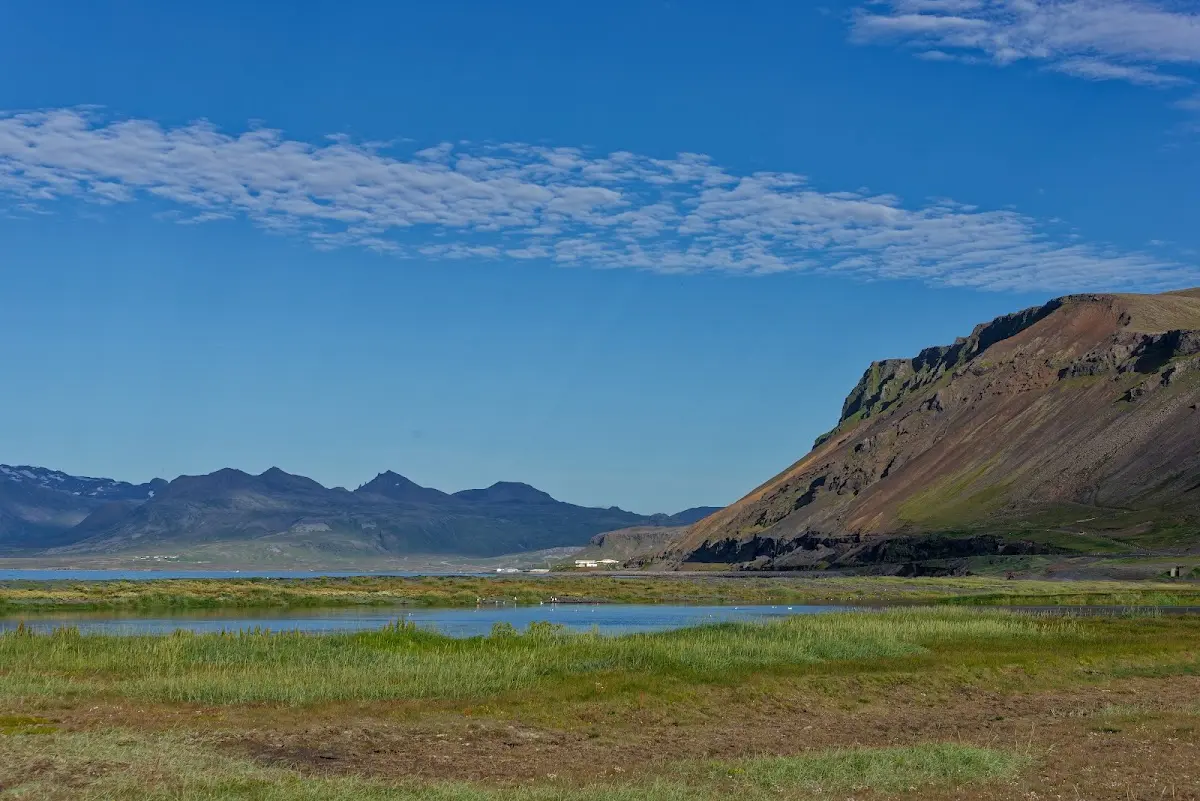
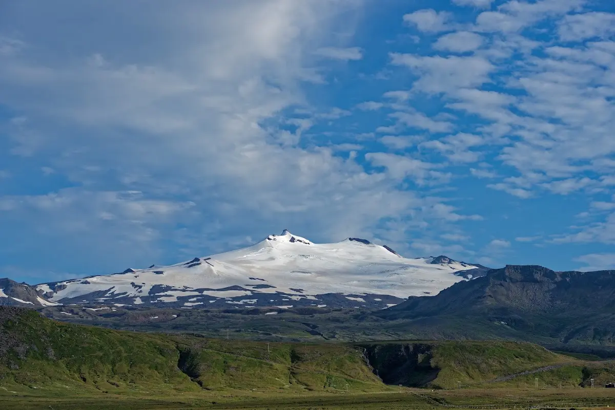
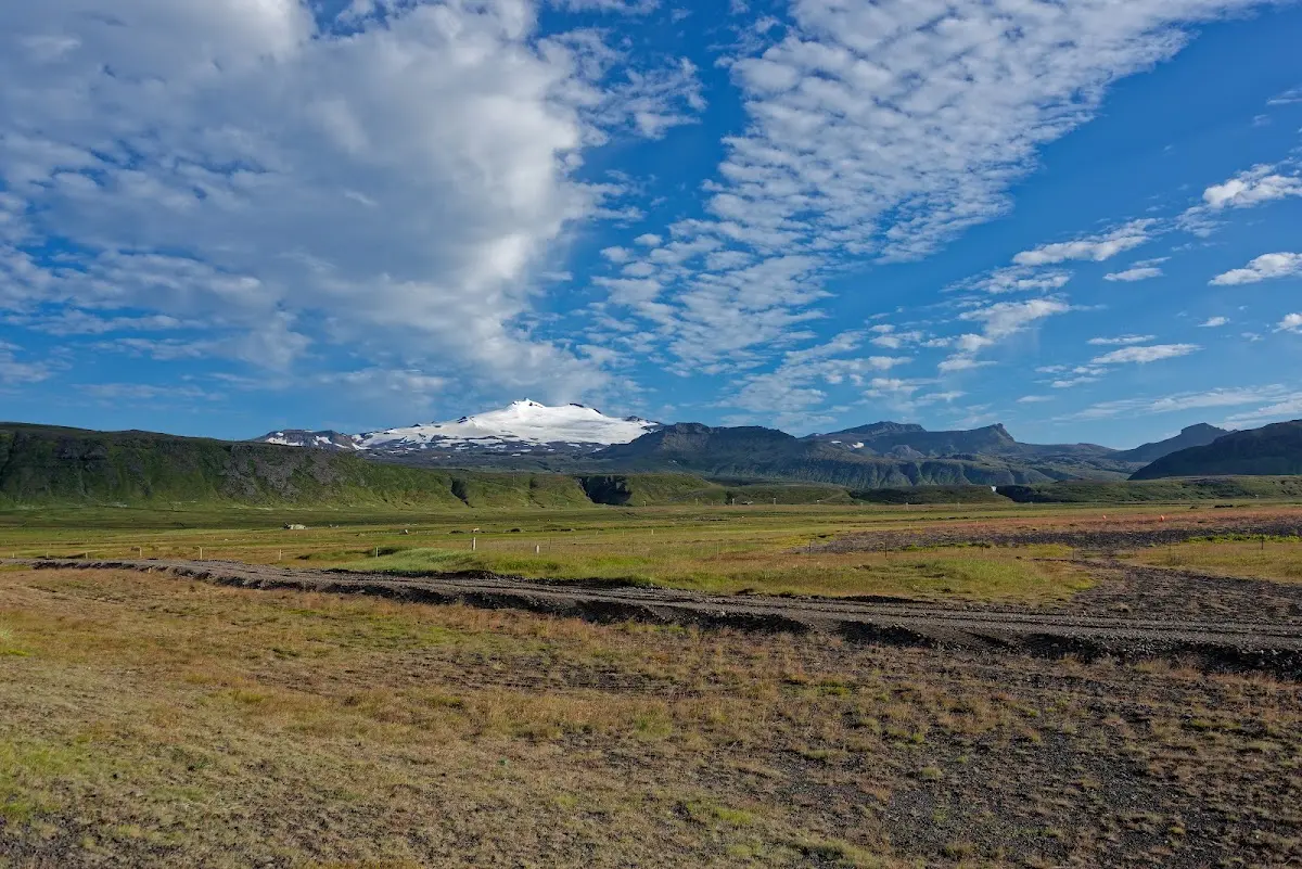
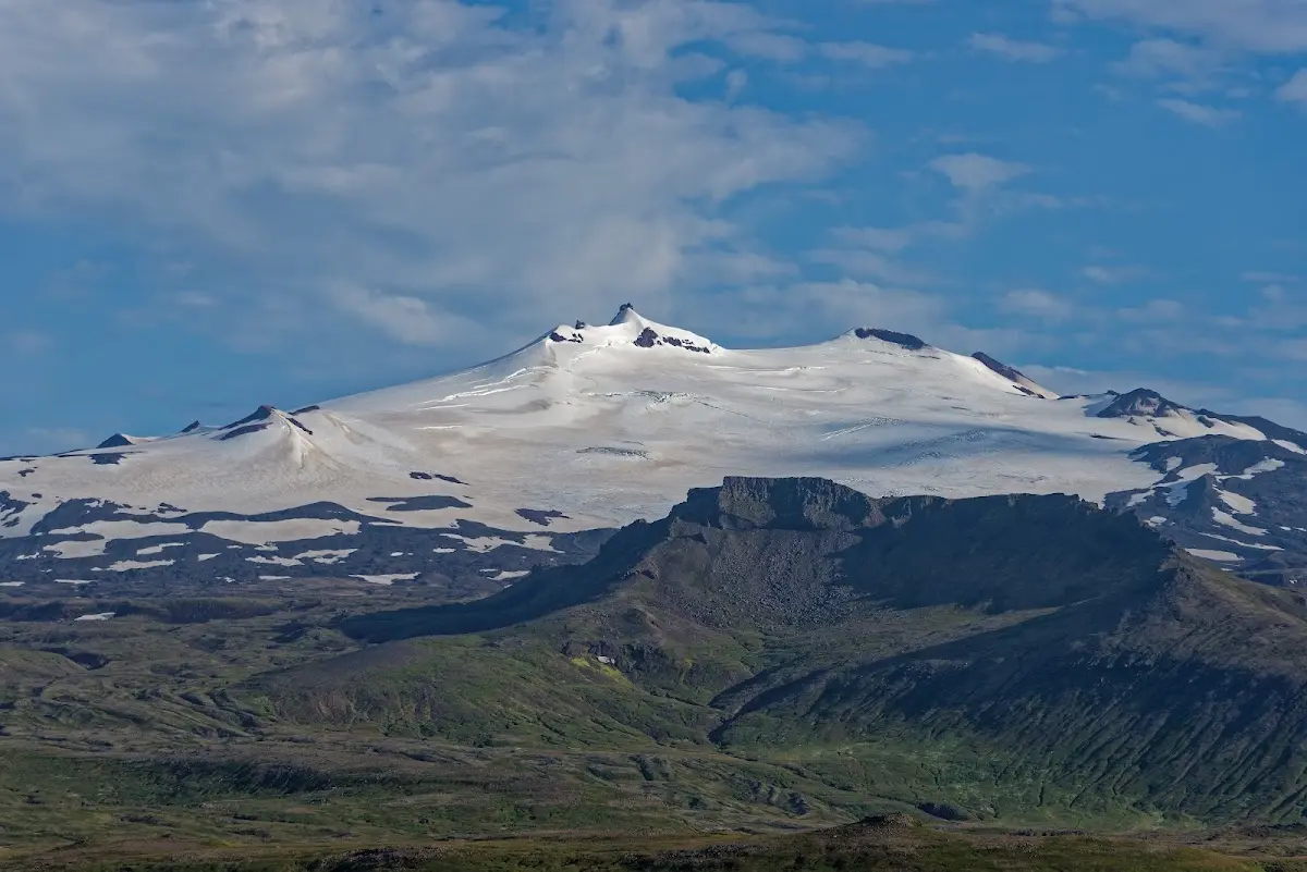
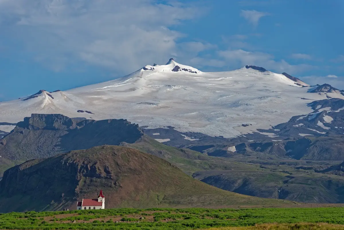
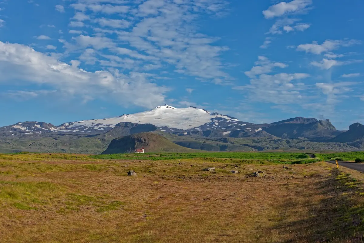
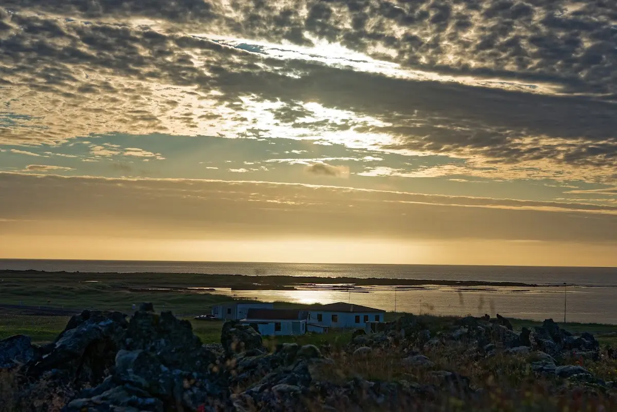
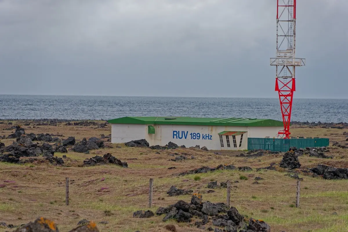
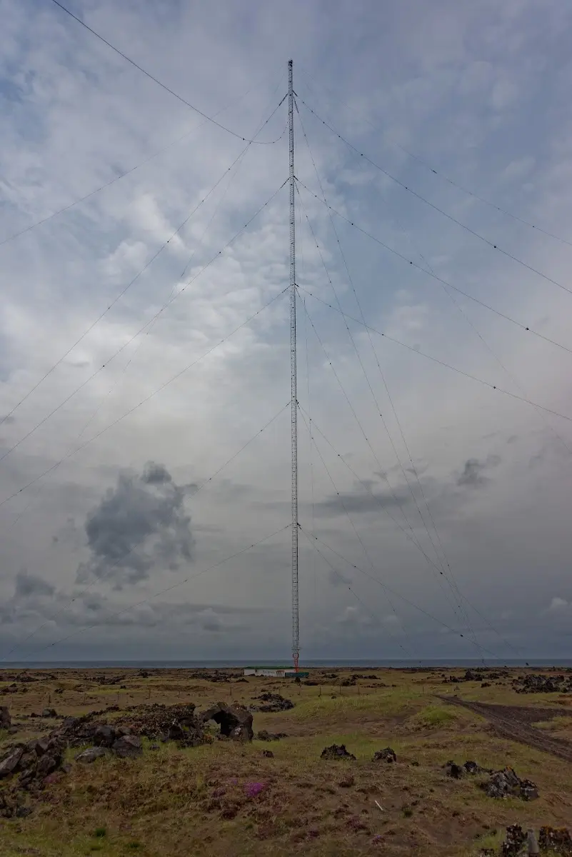
The 412 metre high transmitter mast Gufuskálar, built in 1959, is the tallest structure in Western Europe and served radio navigation for the US Army until the mid-1990s. Today an Icelandic radio programme is broadcast on long wave.
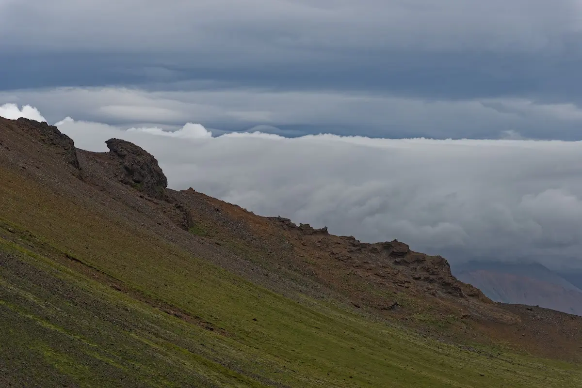
The weather clouded over and the wind got stronger. I rode around Snæfellsnes and made a hike near the village of Arnarstapi along the coast, where you can watch, among others, great black-backed gulls, kittiwakes, fulmars and Arctic terns.
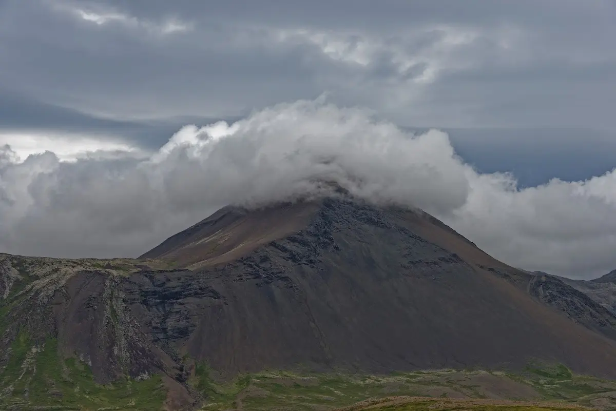
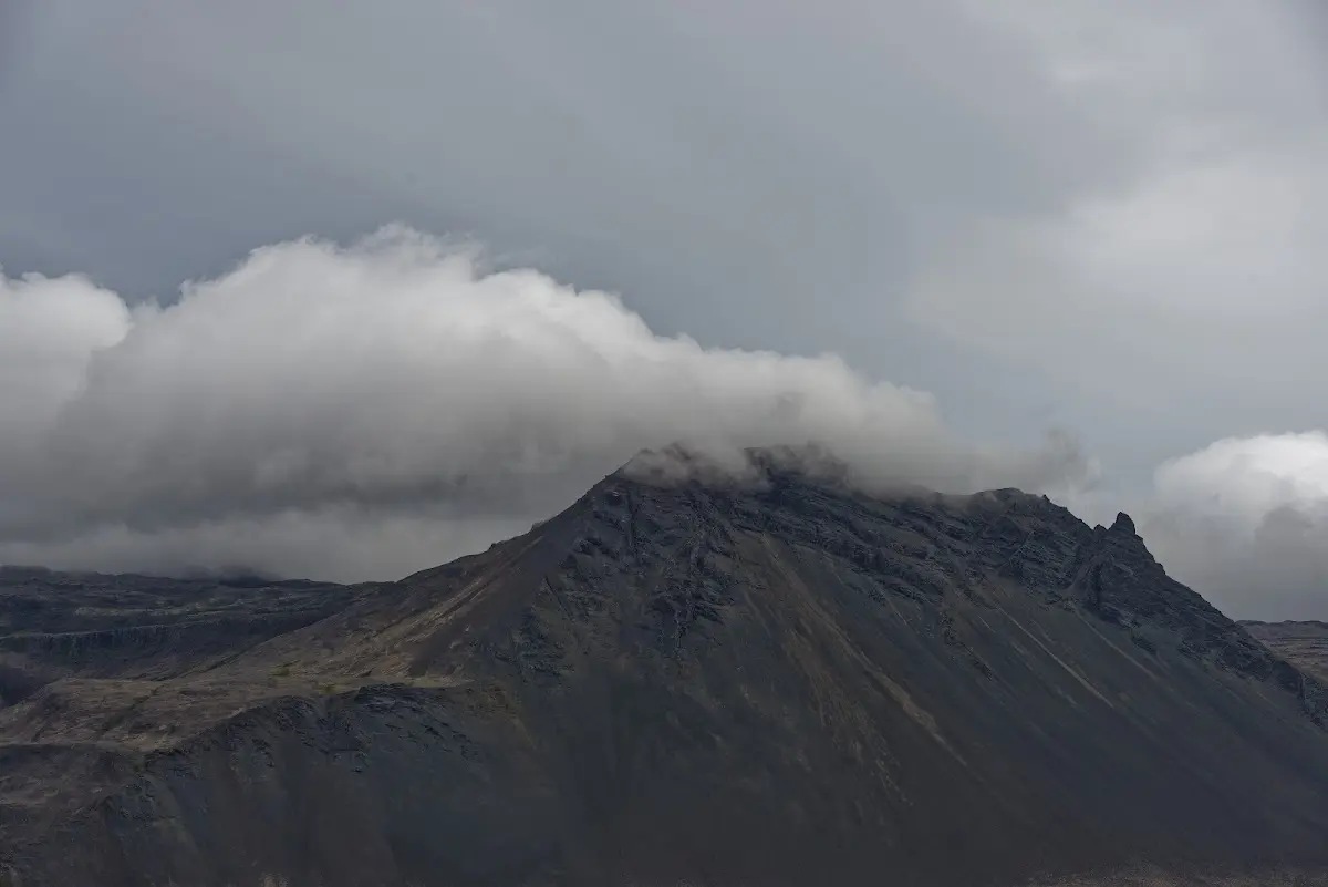
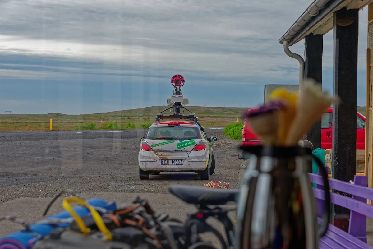
During a coffee break I then saw that Iceland is apparently being targeted by Google right now...
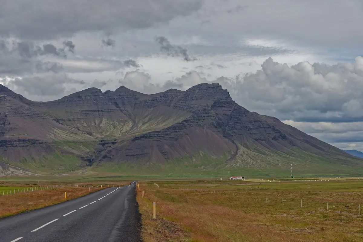
In the evening I visited, near the farm Snorrastaðir, the spatter cone Eldborg í Hnappadal. The crater, 50 m deep and about 200 m in diameter, lies in the lava field Eldborgarhraun and is very evenly shaped.
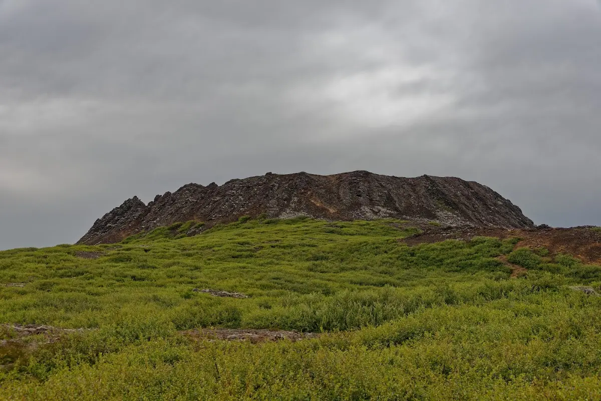
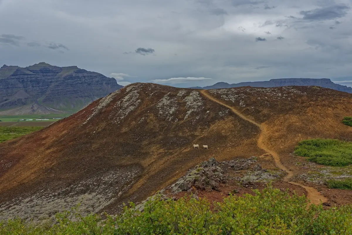
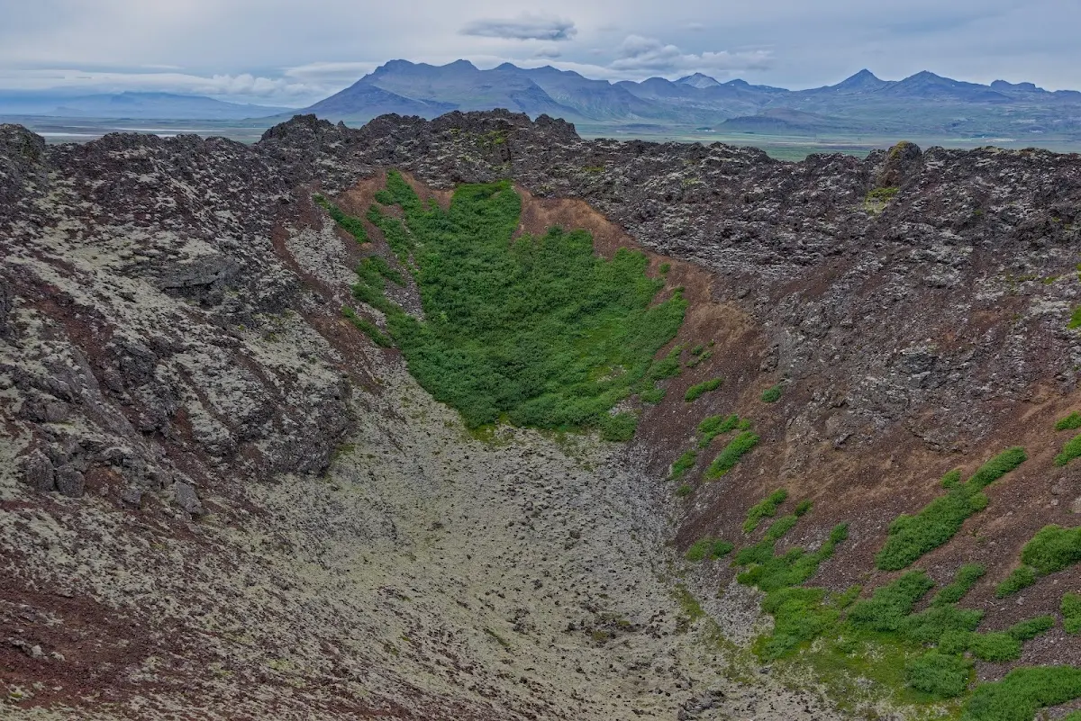
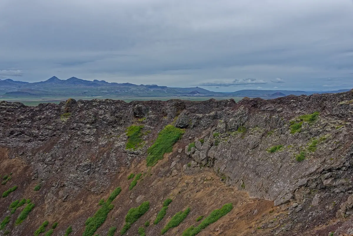
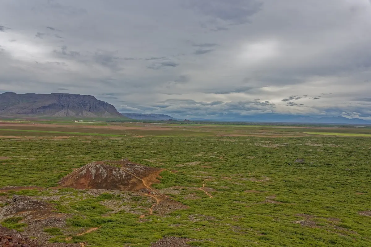
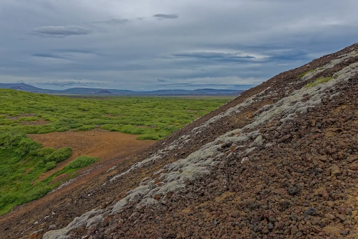
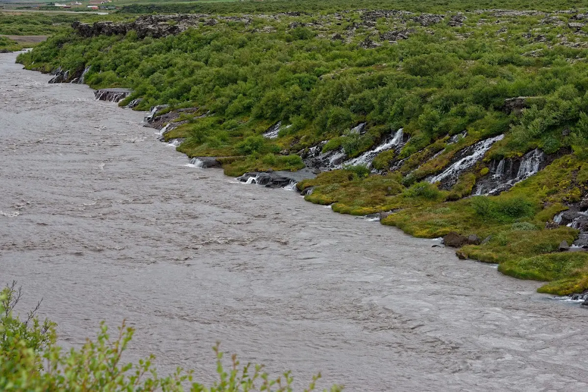
The next morning towards Borgarnes the (head)wind began. Unpredictable gusts from the side also made my way into the valley of the Hvítá difficult. Wet and cold weather all day. But I looked at the waterfalls Hraunfossar, which seem to spring directly out of the lava field.
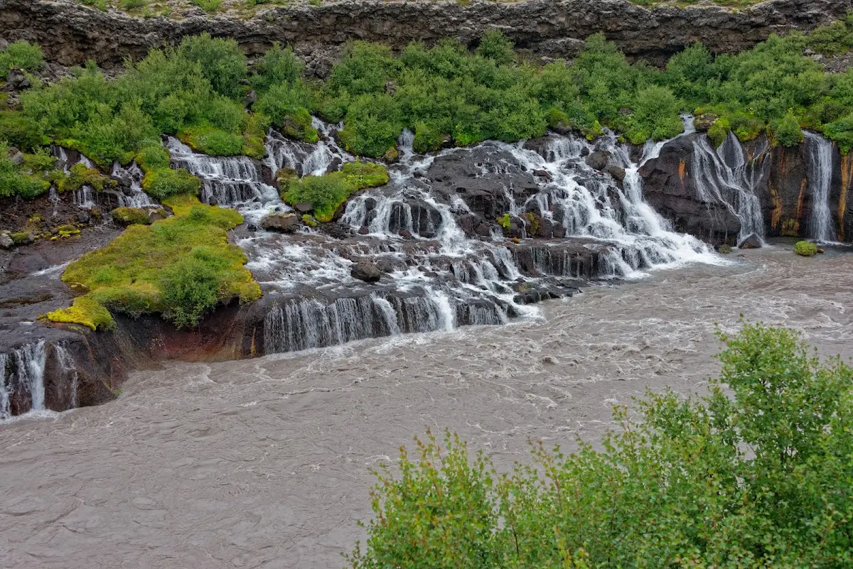
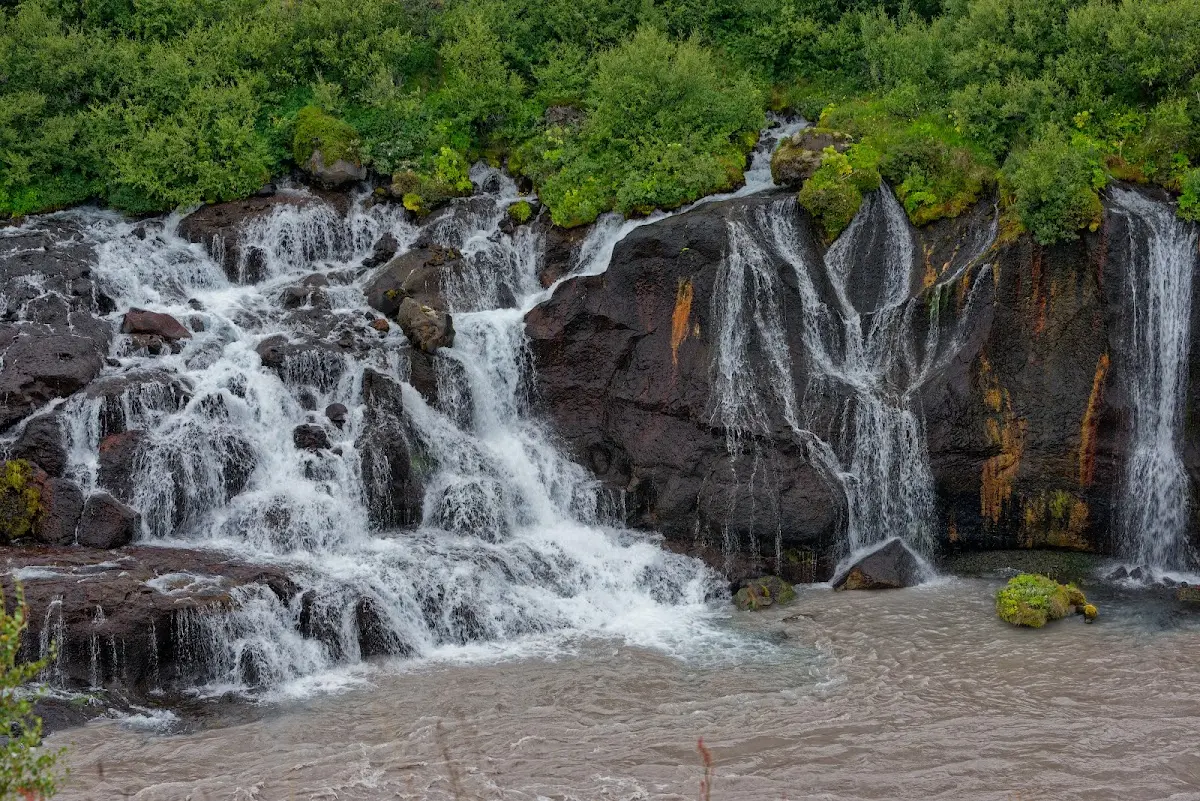
A campsite with a swimming pool in Húsafell, not far from the start of the highland track Kaldidalur, or Kaldadalsvegur, gave me shelter from the wind in a small wood for 2 nights. I met Danes and Dutch there who were already spending their 9th and 7th holiday in Iceland and were also waiting there for better weather.
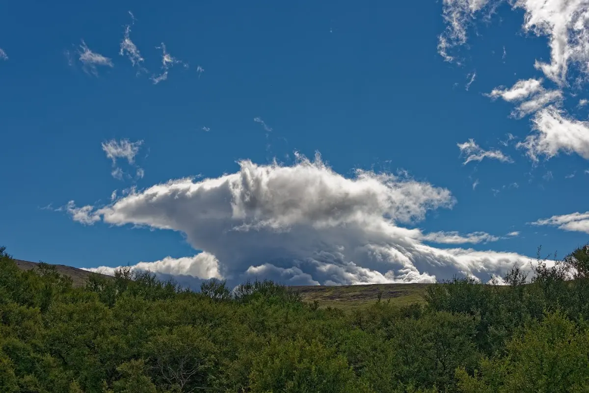
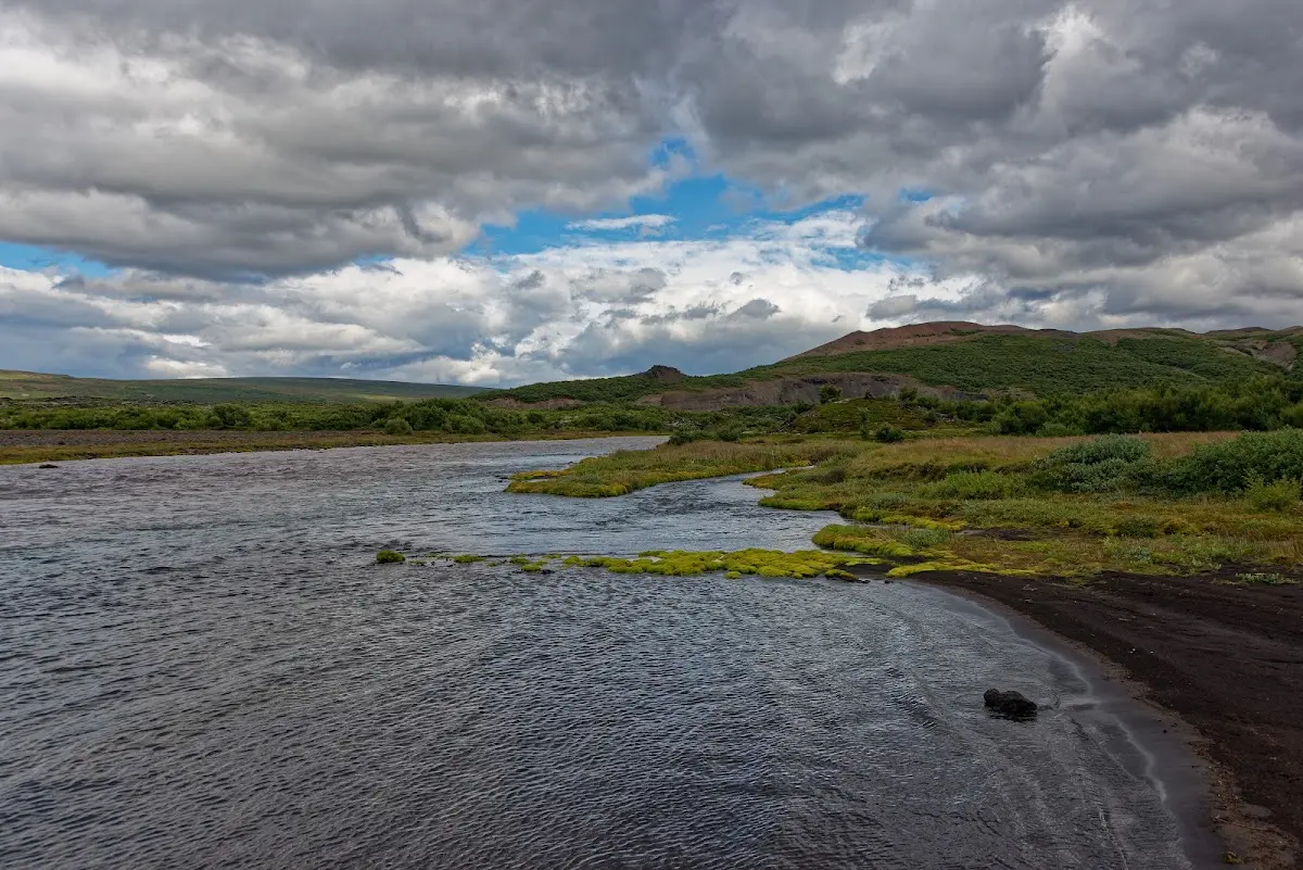
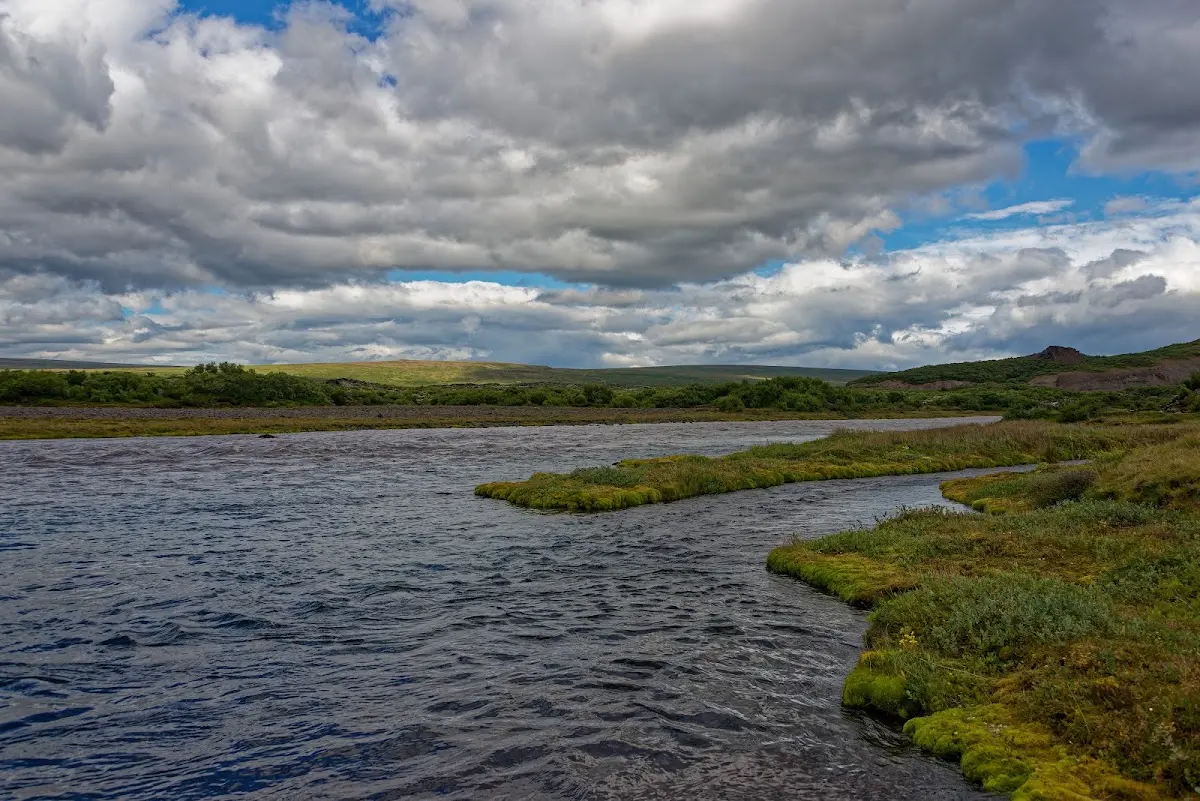
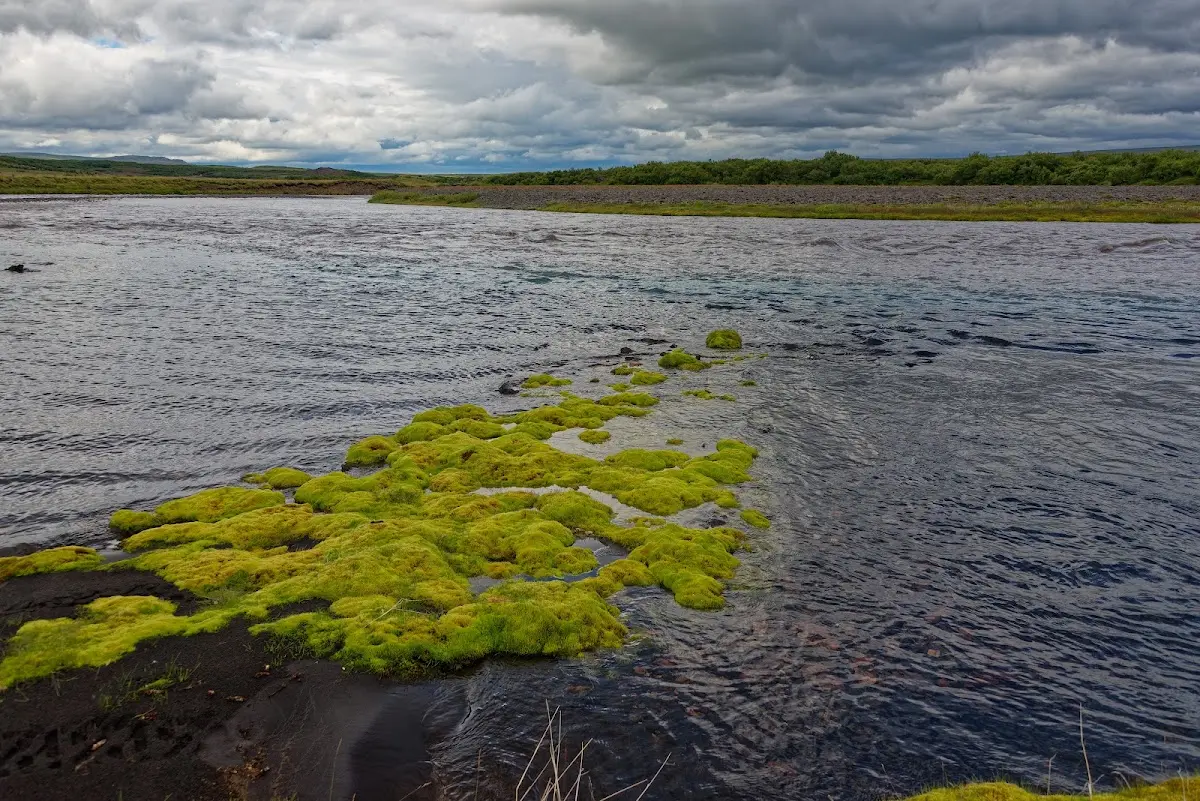
I spent a day reading in the tent and exploring the nearer surroundings on hikes until, the day after, in still not very convincing weather, I rode on.
21 Kaldidalur and Þingvellir
Between the volcano Ok and the glacier Þórisjökull runs the Kaldidalur, the “cold valley”, the shortest of the Icelandic highland tracks; speaking of height, the highest point is reached at 727 m.
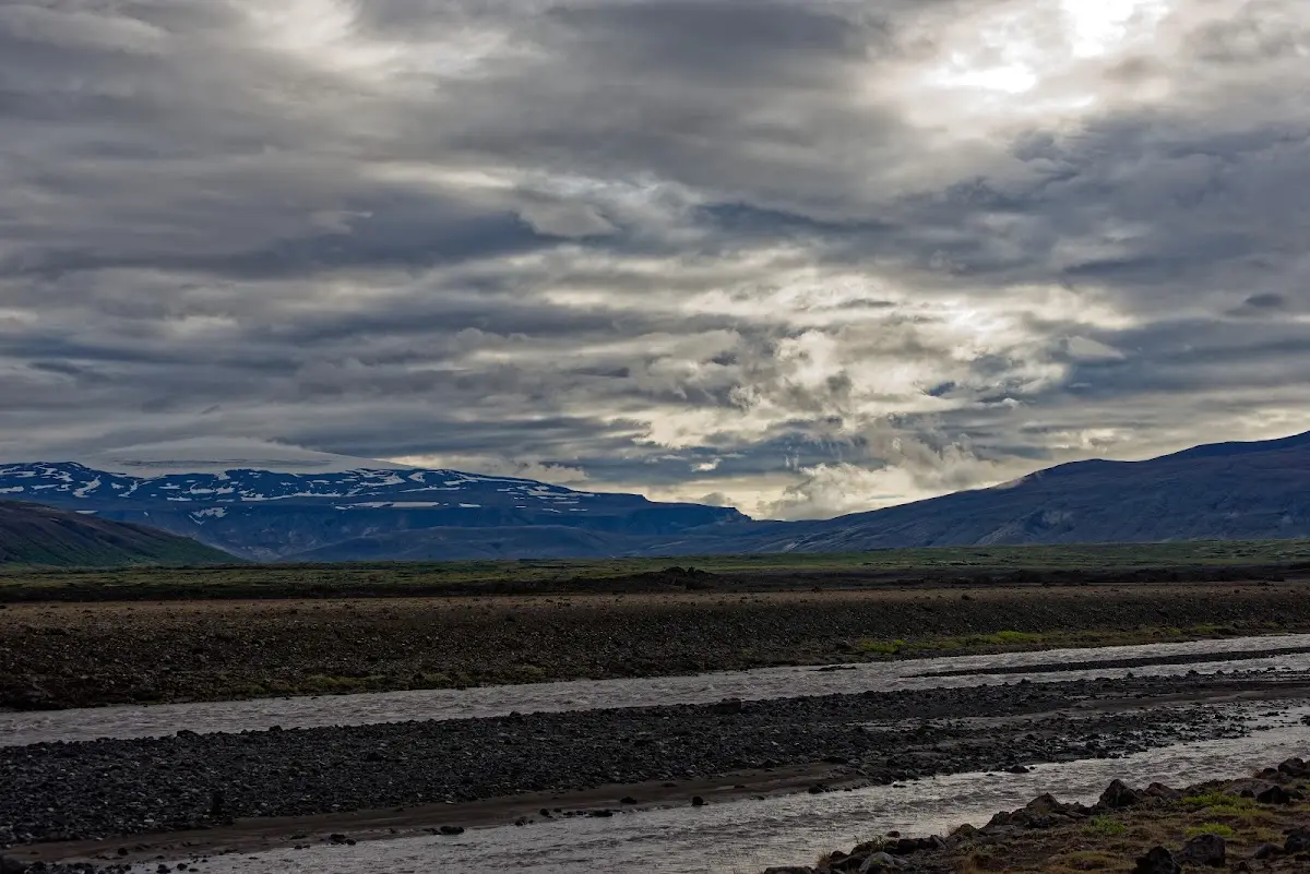
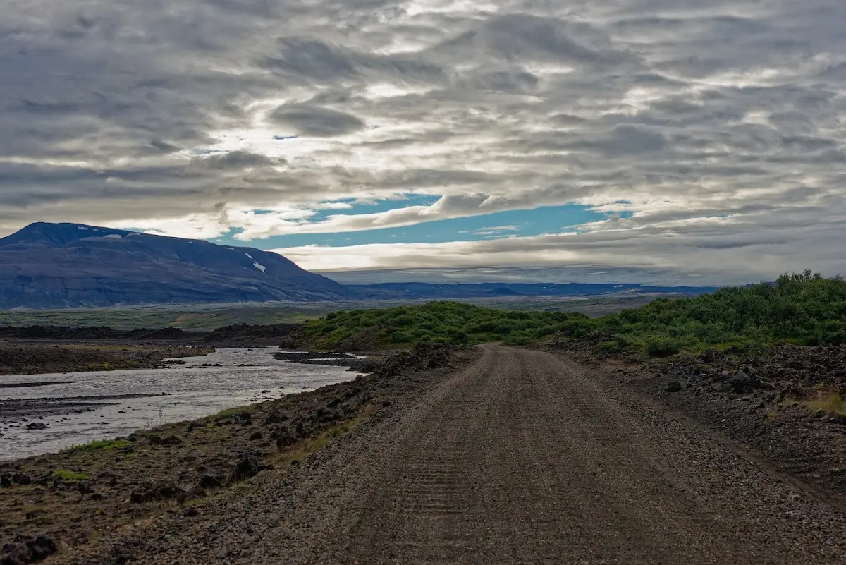
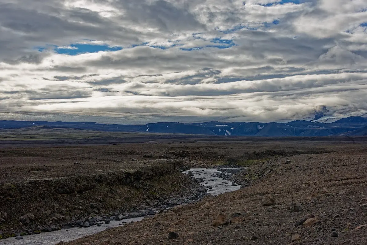
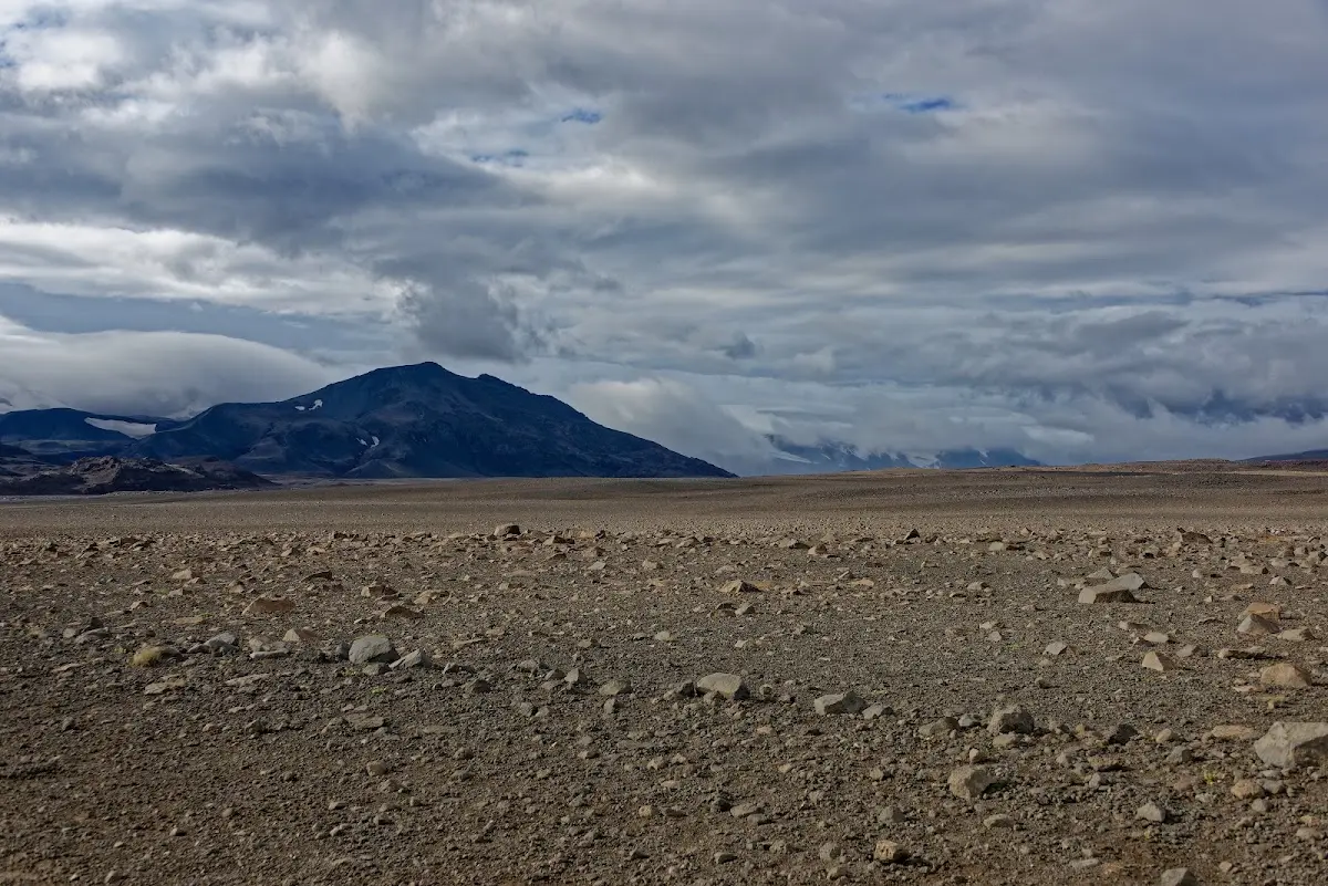
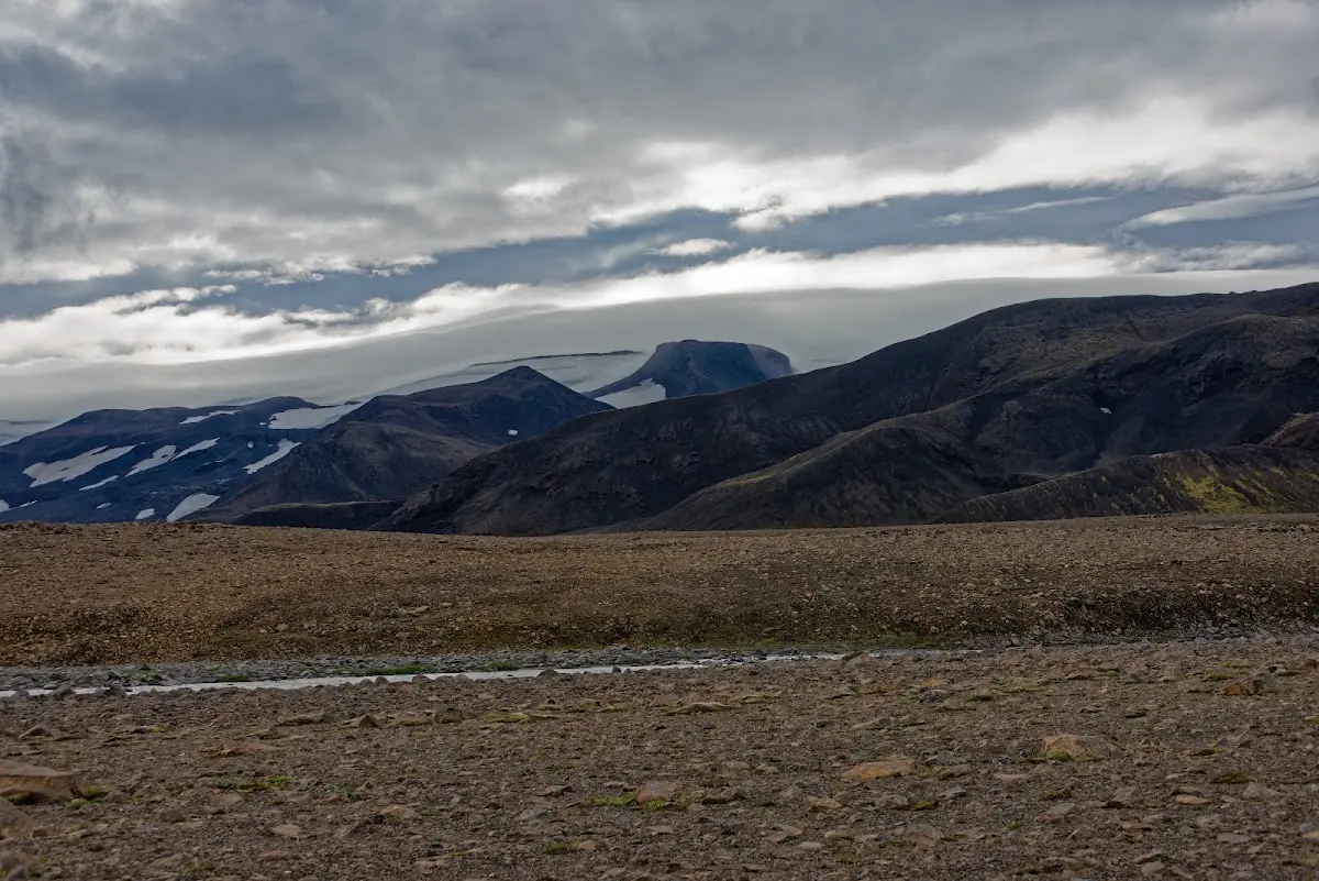
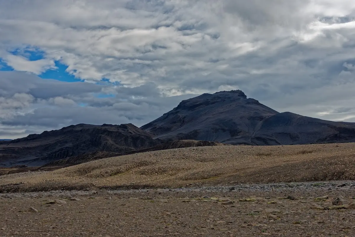
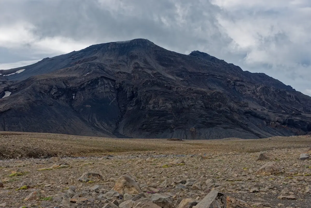
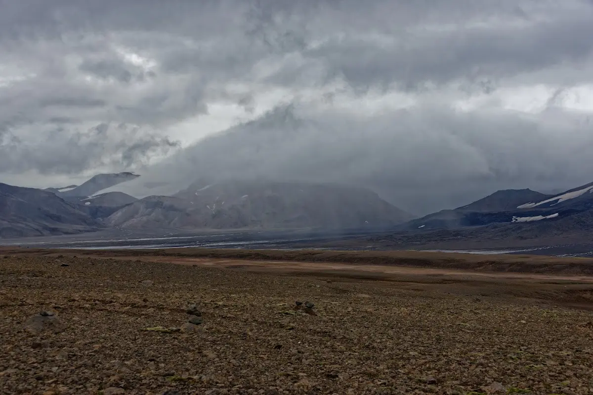
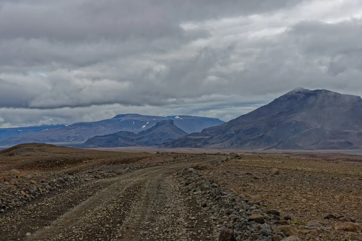
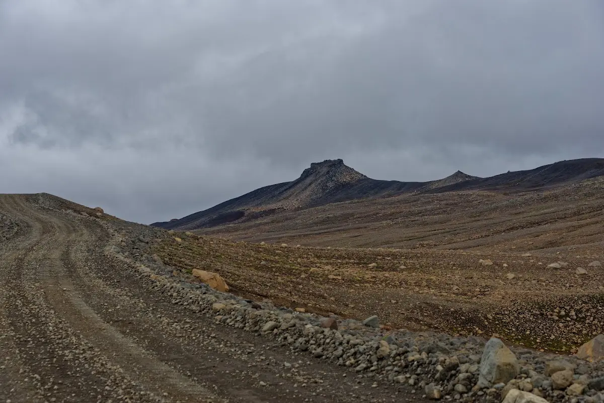
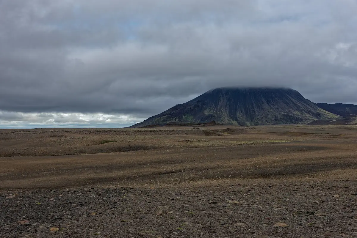
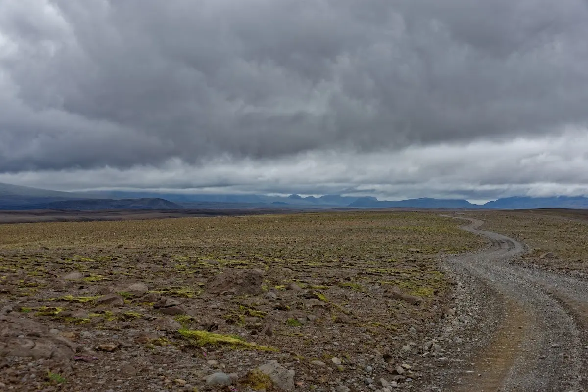
Over the route Uxahryggjavegur (I do enjoy writing these tongue-twisters here :) ) people used to ride to Þingvellir from north and west Iceland to the Althing.
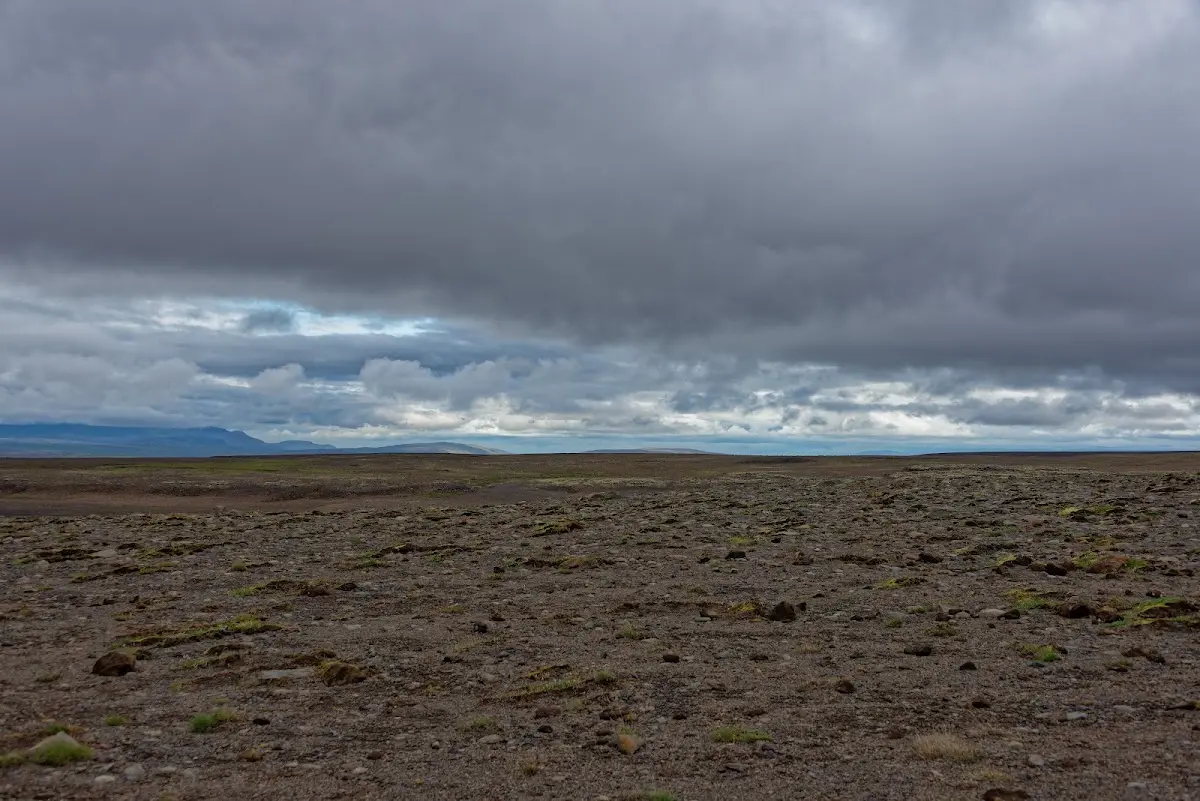
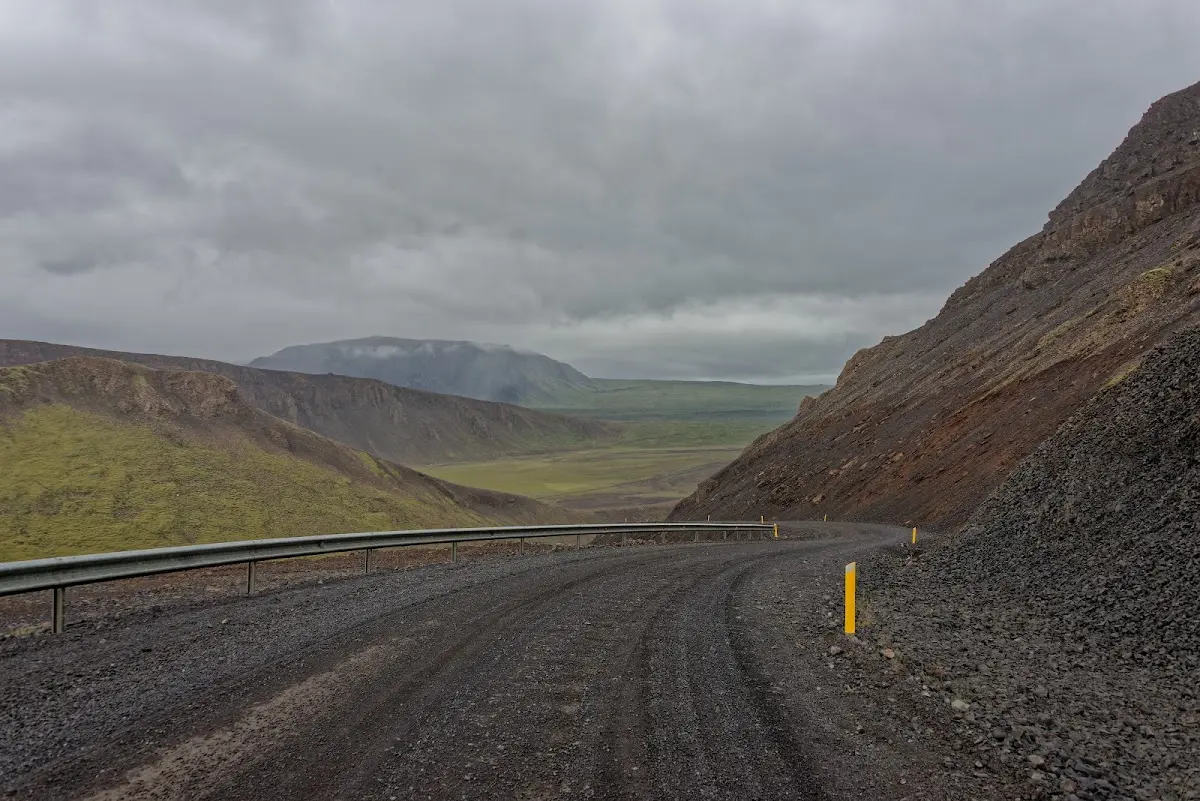
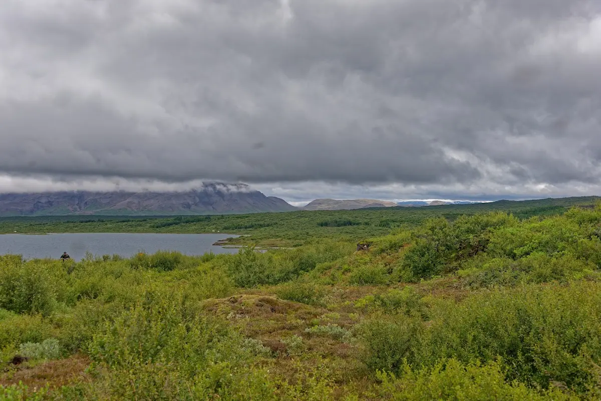
“Þing” means popular assembly, and “vellir” are fields. So the Norwegian Vikings who settled Iceland met for 2 weeks in June at a legislative assembly called the Alþing. Geologically it is comparatively interesting, lying in a rift zone and surrounded by four active volcanic systems.
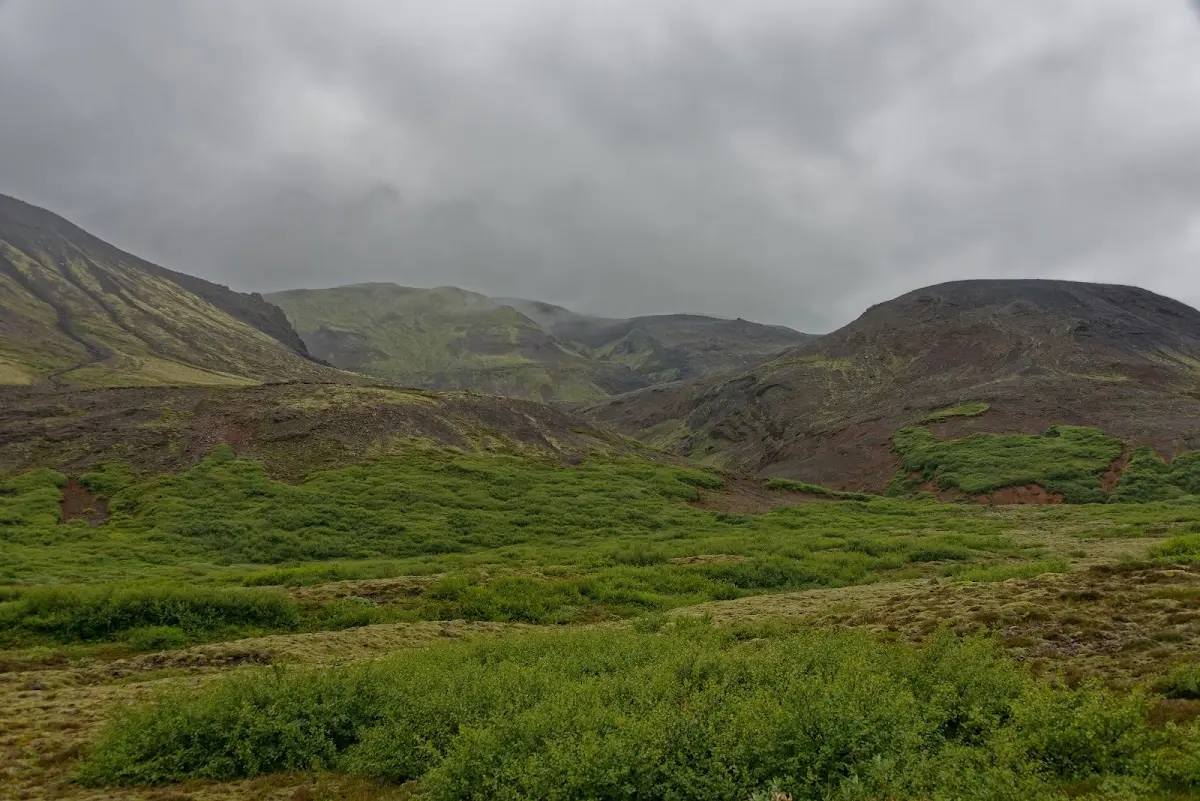
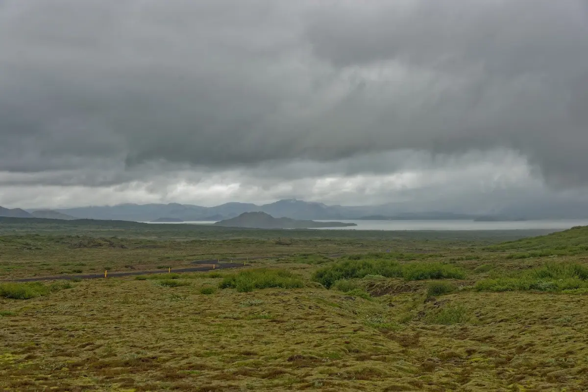
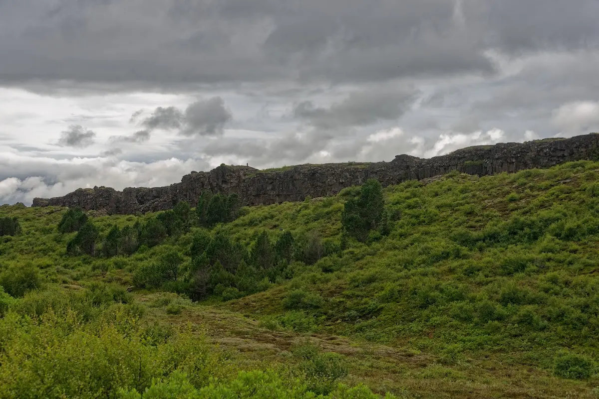
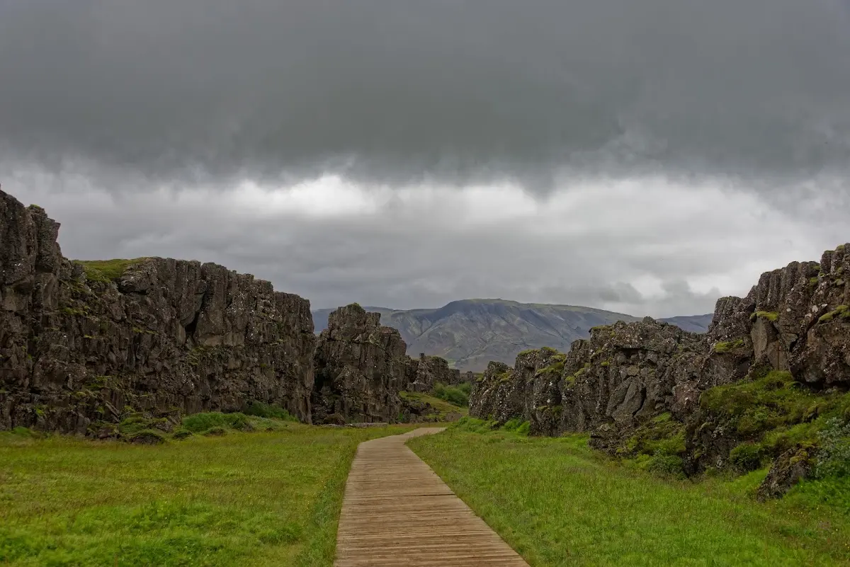
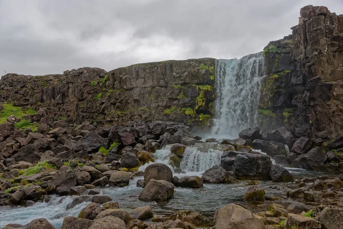
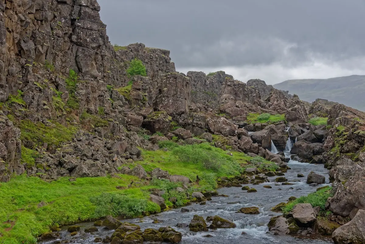
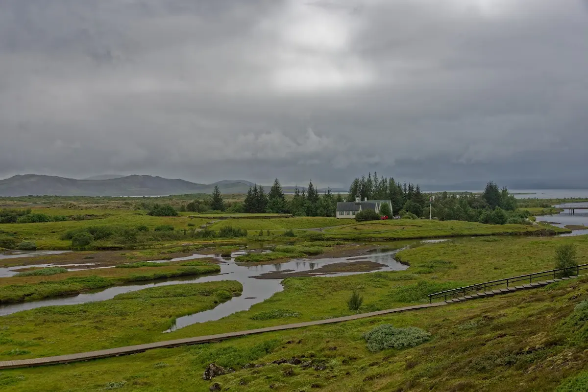
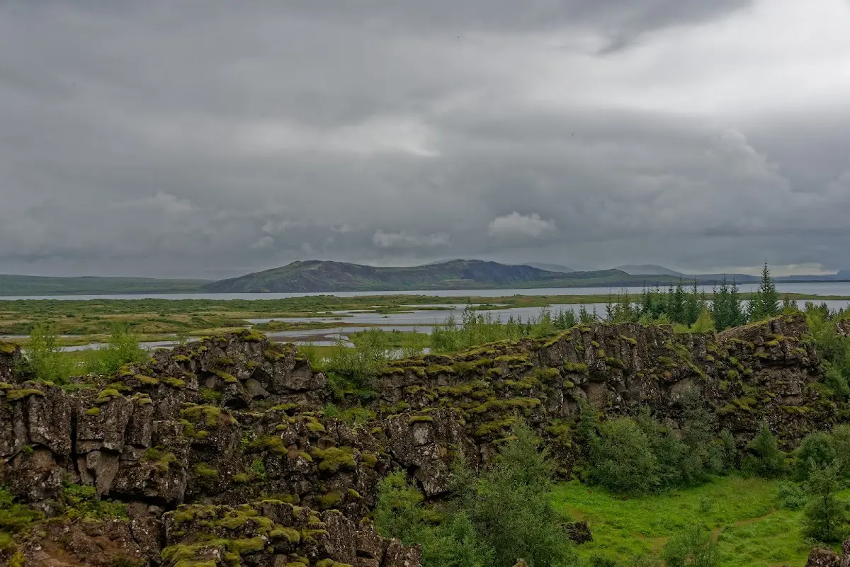
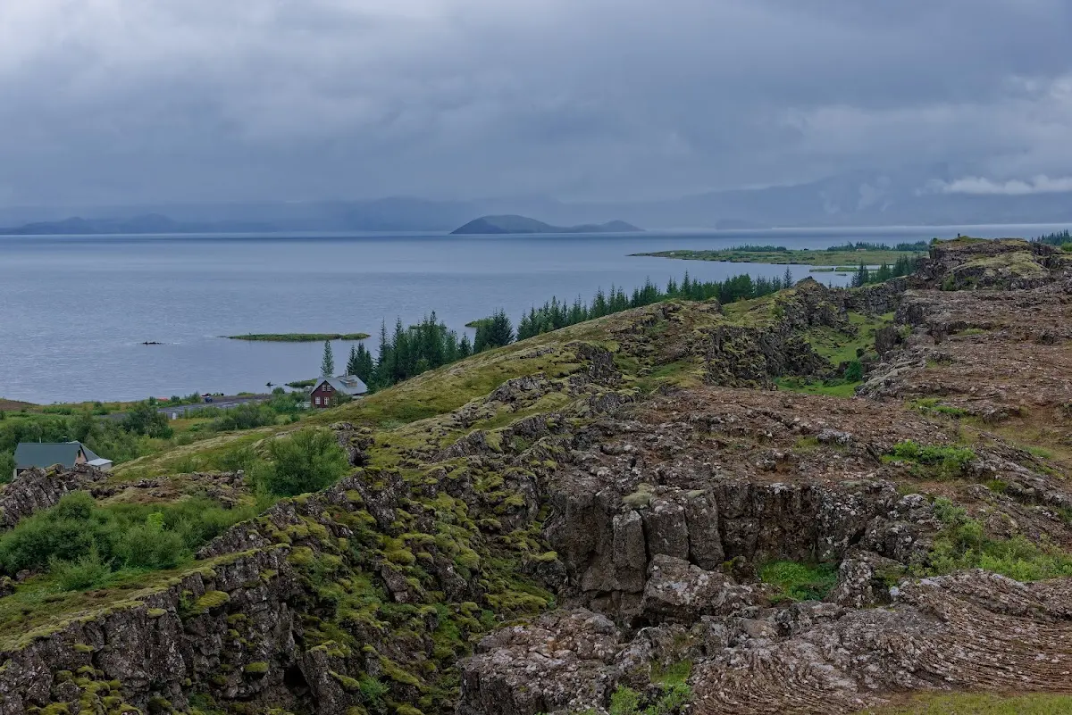
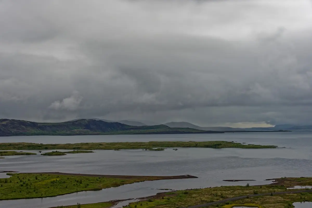
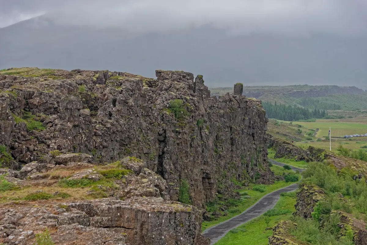
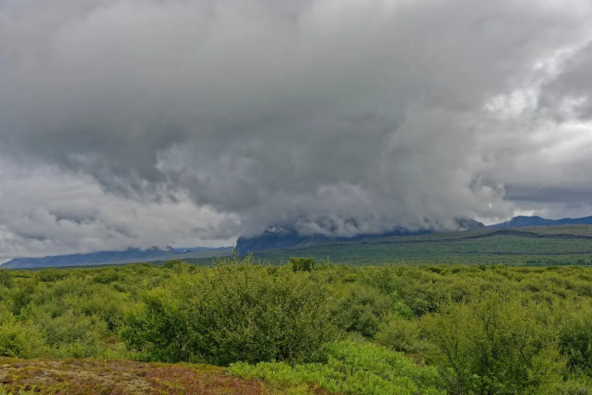
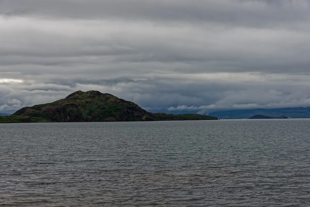
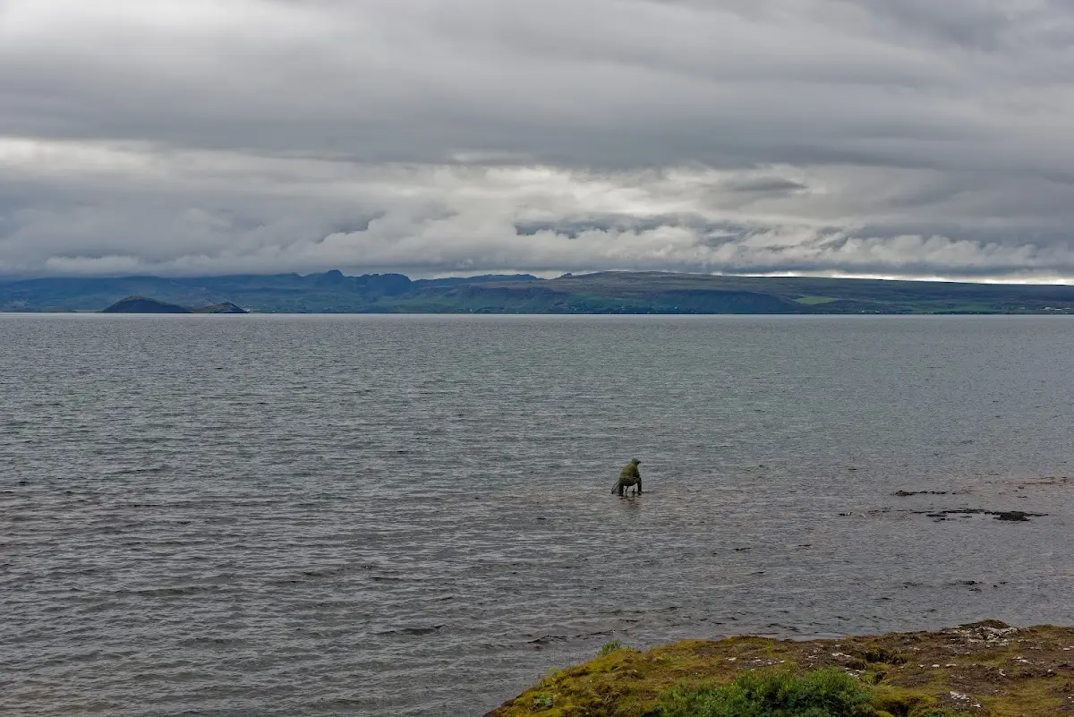
Weather-wise I was fishing in troubled waters, but that was to get better again: via the old spa town of Laugarvatn I rode on to the Stóri Geysir, the namesake of geysers worldwide, and on my journey around Iceland the circle closes in the next part: of the Seljalandsfoss I can show pictures in sunshine in the next part...