Biking and Hiking New Zealand - Super Mario and Rainbow Road
Into Greymouth, shopping in the new town centre — quite a few touring cyclists about these last few days, more than anywhere else on the trip so far.
On inland from there to Reefton, a good-sized ride for the day.
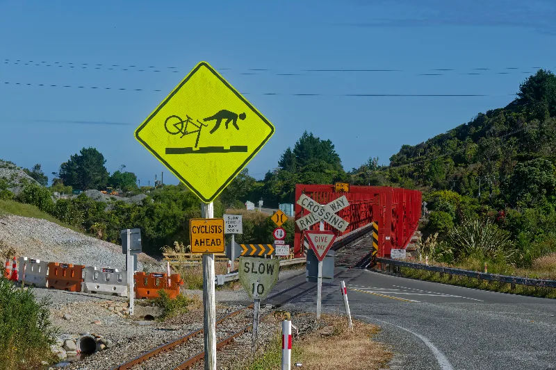
A cyclist warning sign at a rail crossing on the way out of Greymouth.
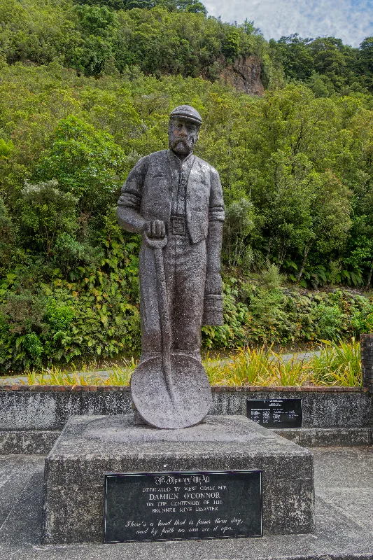
A miner's memorial statue near Brunner, dedicated by West Coast MP Damien O'Connor on the centenary of the Brunner Mine disaster.
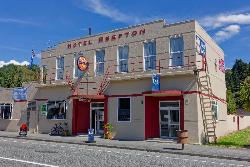
Hotel Reefton, on the town's main street.
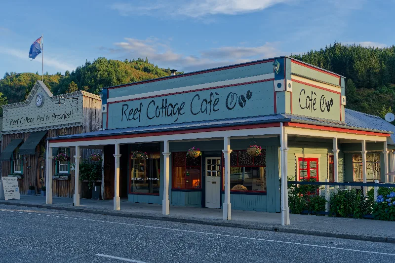
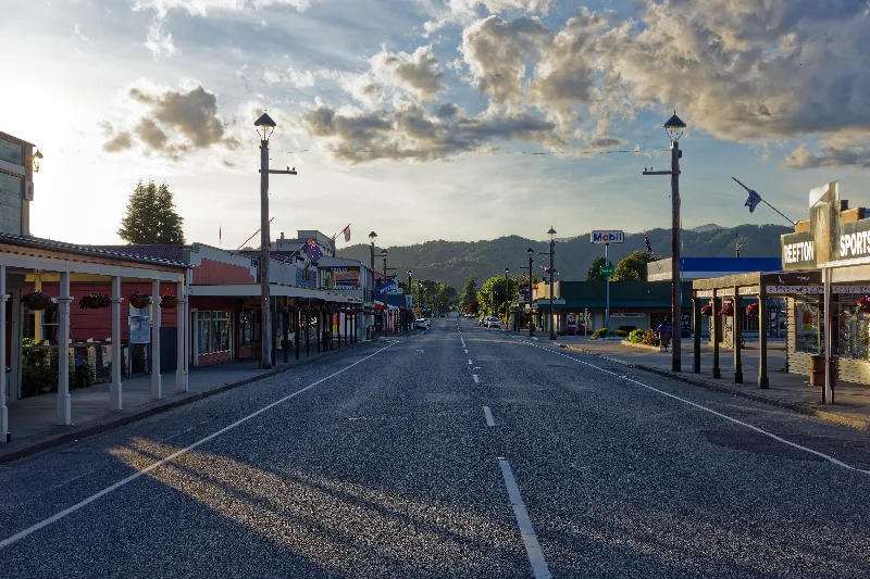
Reefton's main street in the evening light — the self-styled "City of Light," first in New Zealand with electric street lighting.
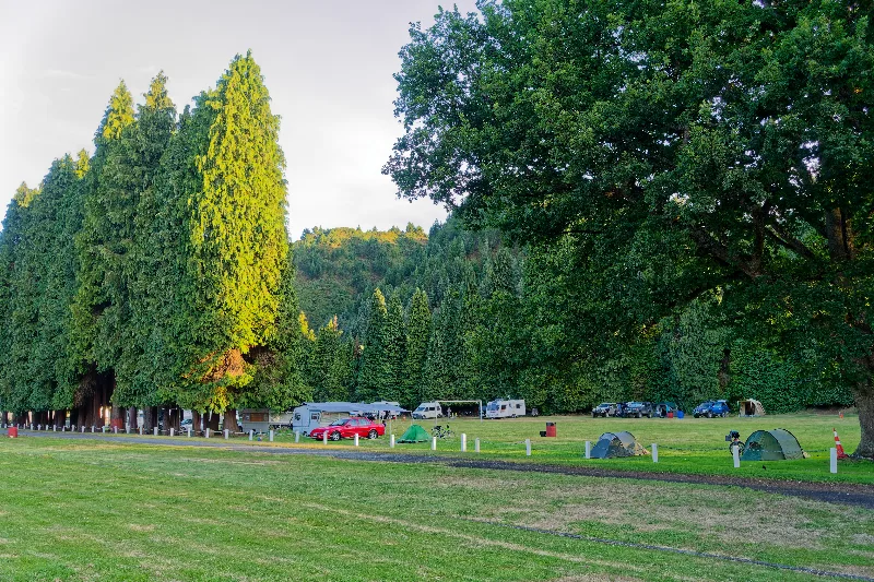
The Reefton campsite under tall trees, tents and campervans settling in for the night.
Reefton
Reefton grew up around the West Coast gold rush of the 1870s and takes its name from the quartz reefs mined in the surrounding hills. In 1888 it became the first town in New Zealand — and one of the first in the Southern Hemisphere — to have electric street lighting, powered by a local hydroelectric scheme, and it still trades on that history as the self-styled "City of Light."
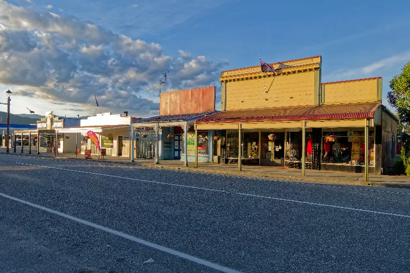
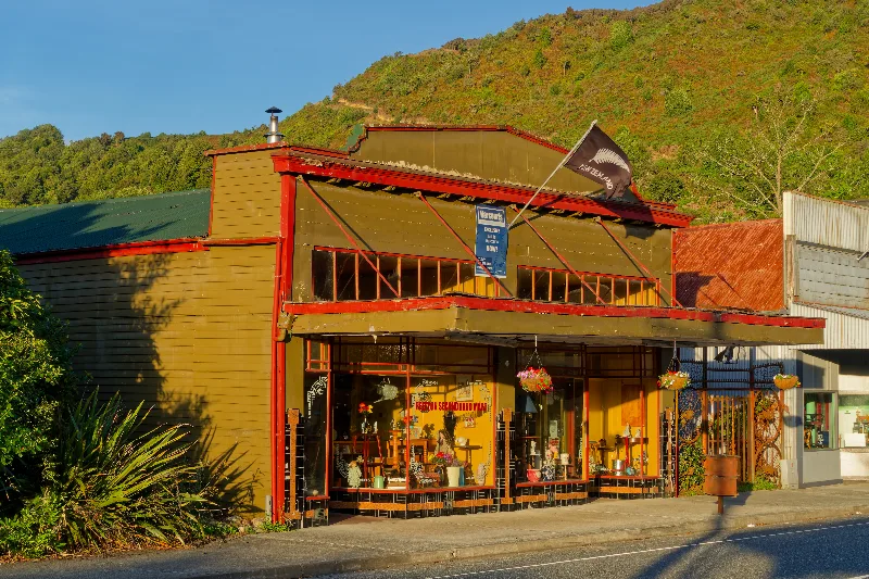
The gold and coal mining that built the town declined through the 20th century, and today Reefton's small, well-preserved main street of Victorian-era buildings gives it a distinctly time-capsule feel — one of the more atmospheric small towns on the West Coast, if a quiet one outside the tourist season.
Over Lewis Pass — less spectacular than its bigger sibling Arthur's Pass, though at least no mountain parrot tried to shred my tent this time. In Hanmer Springs by 15:30.
Left the Rainbow Road option open for tomorrow, and shopped for two to three days of supplies in case the weather holds. The fallback, if it doesn't, would have been a bus to Kaikoura — but $120 and a whole day for a three-hour whale-watching trip gave me pause, when there are seals nearby and some walking to be done instead. Into the hot pools from 16:45: packed, $22, about two hours in was enough — not worth a full day here.
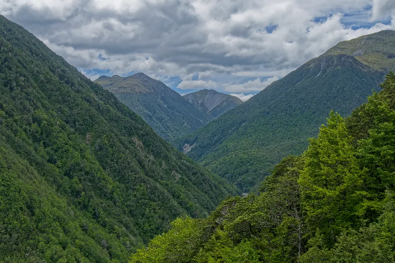
Forested valley on Lewis Pass — quieter and less dramatic than Arthur's Pass further south.
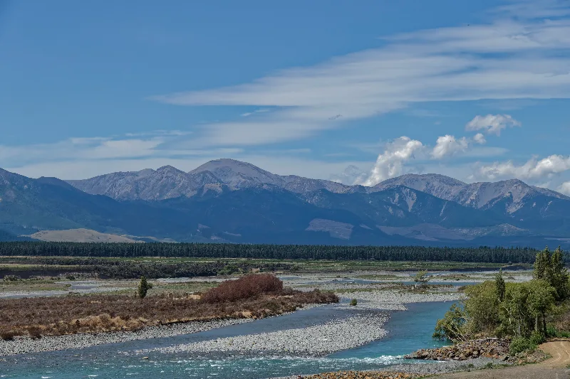
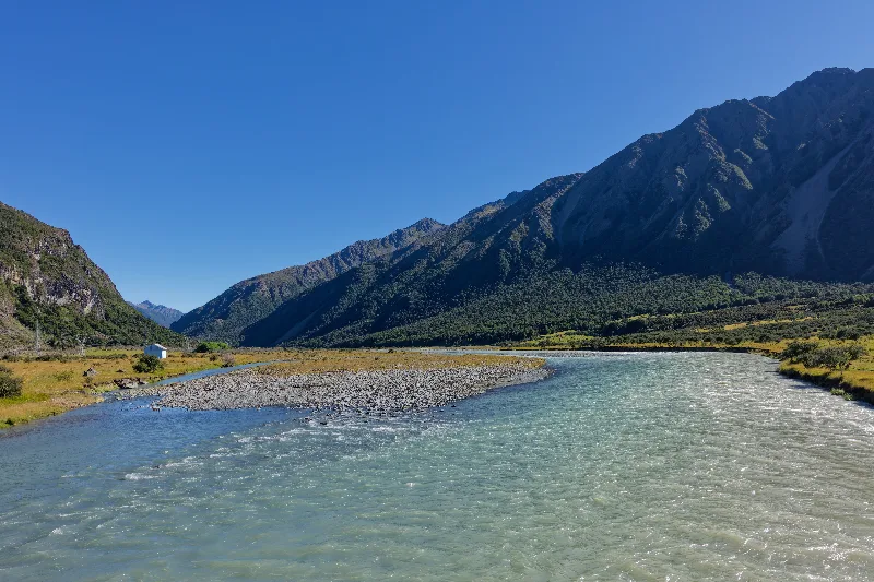
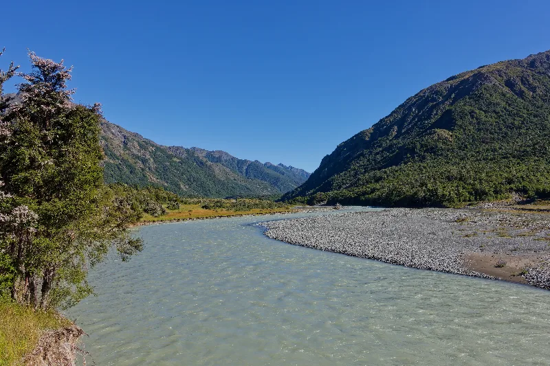
A braided river below the mountains, nearing Hanmer Springs.
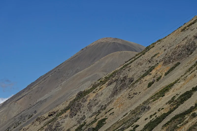
Rainbow Road and Island Saddle
Rainbow Road is a 120-km unsealed route linking Hanmer Springs to St Arnaud and the Wairau Valley, most of it a private toll road through high country between the Amuri and Nelson Lakes districts. It climbs to Island Saddle at around 1,350 m, often cited as the highest road pass in New Zealand — though "road" here means a rough 4WD track, not a highway, with numerous unbridged river fords along its length that can turn dangerous or impassable after rain.
Access at the northern end is through Rainbow Homestead, a working high-country station that also operates the tollgate — a couple of dollars for a bicycle, considerably more for a vehicle. The road is popular with 4WD tourers and mountain bikers in good weather, but the same fords that make it an adventure catch out underprepared drivers most years, usually in rental cars without four-wheel drive.
A rainbow over Hanmer Springs in the morning — as good a sign as any to take Rainbow Road. The weather had other ideas: heavy rain and a fierce headwind, washboard gravel climbing most of the way, worst in the first few kilometres out of Hanmer Springs and again on the final approach to the saddle. No more than 10–13 km/h into the wind for long stretches.
Passed a few 4WDs turning back, unable to get their vehicles across some of the fords after the rain. Stopped for the night just past Island Saddle at Island Gully Hut — four bunks, and enough kindling to get a fire going and dry out. Still had a backcountry hut pass left over from the Gillespie Circuit, where I'd ended up in the tent anyway to get away from the snoring. Alone here by 15:30. Tea on.
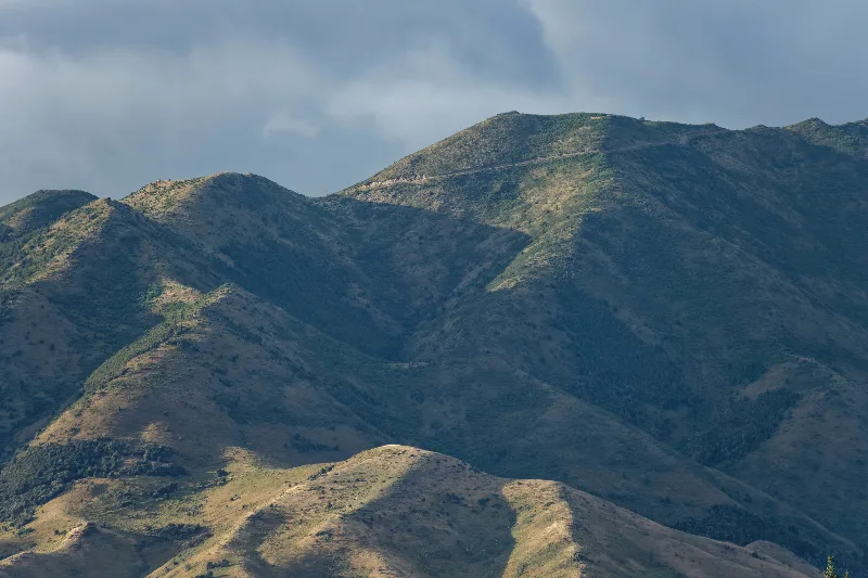
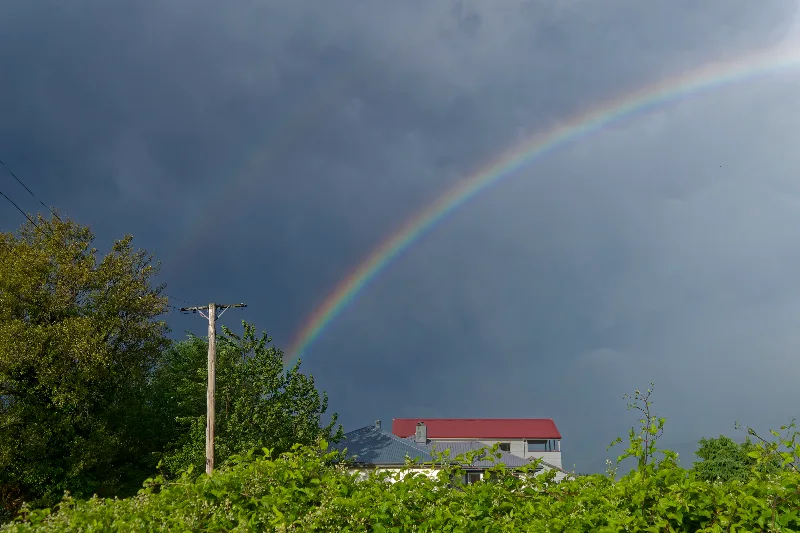
The rainbow over Hanmer Springs that pointed the way to Rainbow Road.
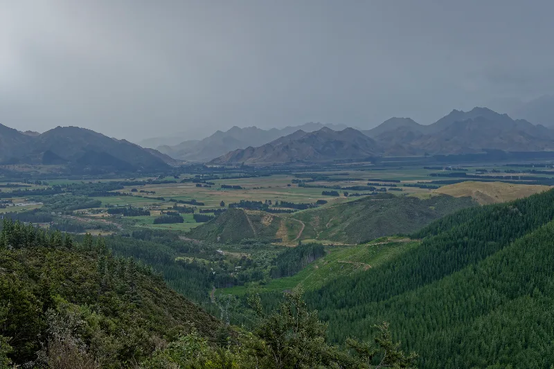
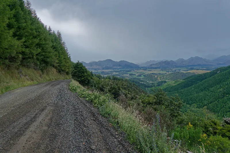
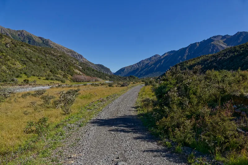
Rainbow Road's gravel surface climbing above the Hanmer Basin.
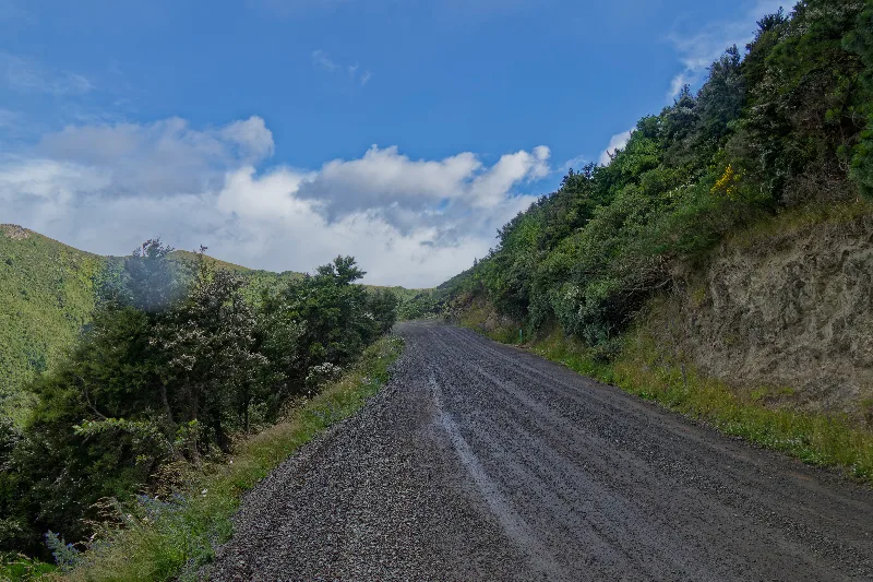
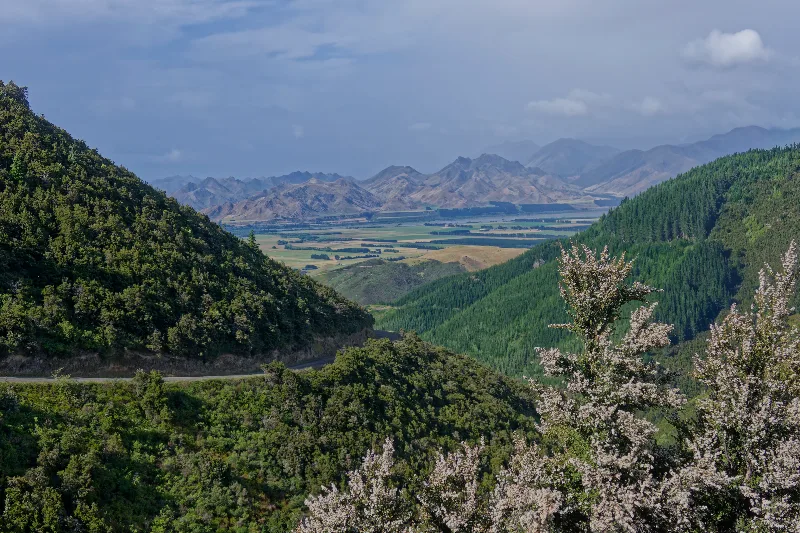
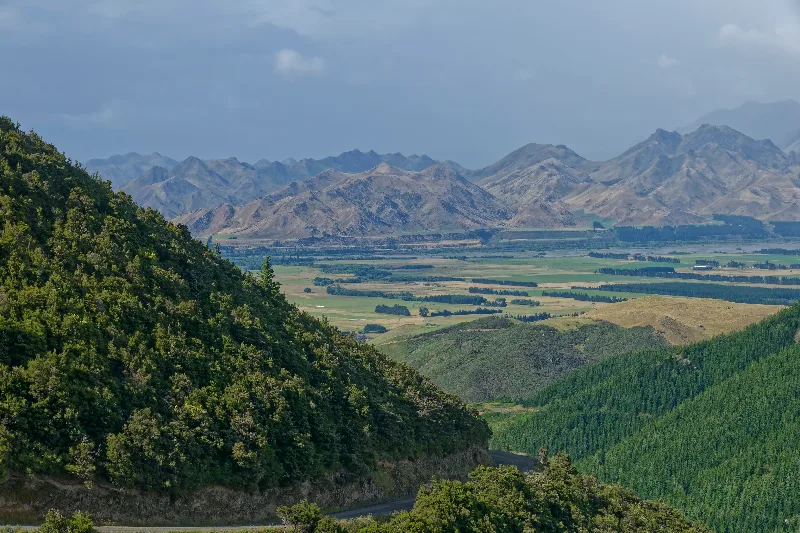
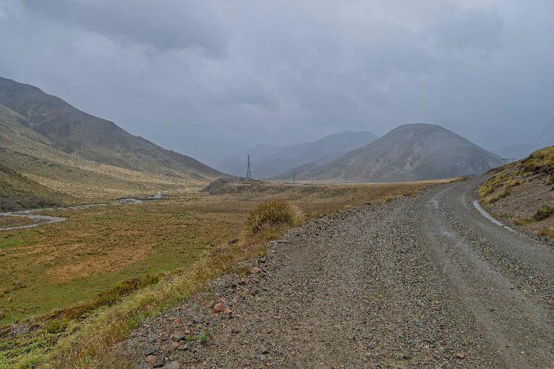
Washboard gravel higher up the road, weather closing in.
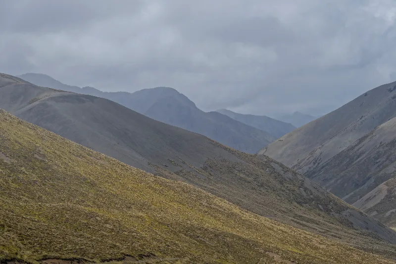
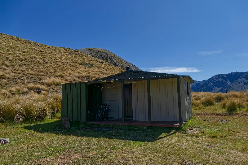
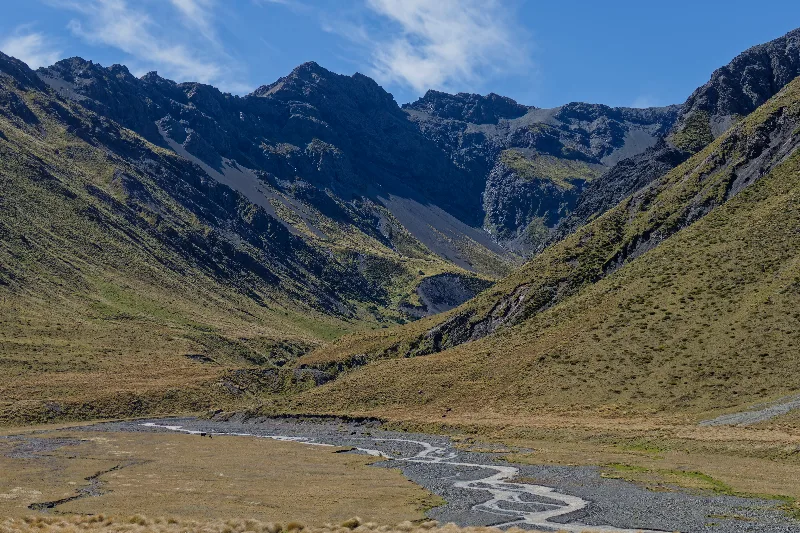
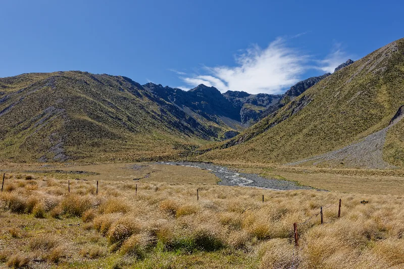
The alpine valley near Island Gully Hut, the weather clearing by evening.
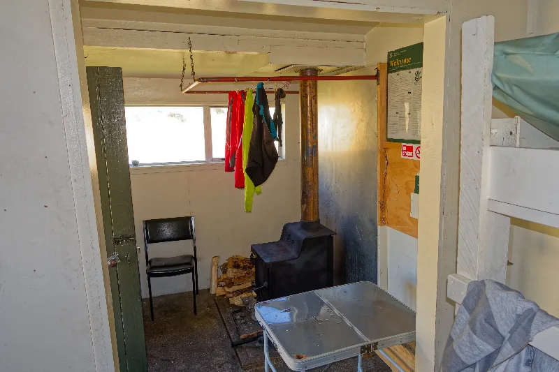
Inside Island Gully Hut — the wood stove doing its job, wet gear drying above it.
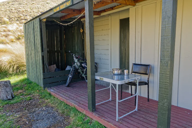
The hut's small porch, bike parked and dinner on the table.
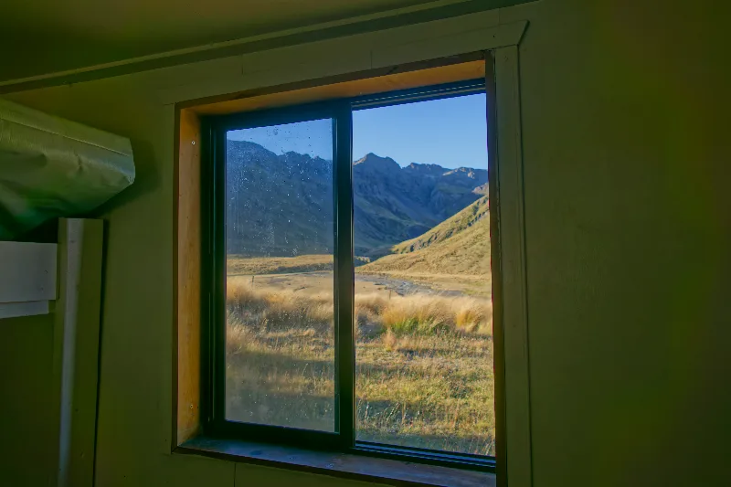
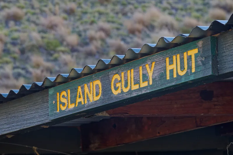
Island Gully Hut's sign, just past the saddle.
Four more people had turned up at the hut the evening before for tea and cake — an old New Zealander travelling with three women, sporting a beard some 50 cm long and no shoes. Leftover homemade muffins made for a good breakfast too.
Tailwind from Island Saddle this morning, but the stream by the hut was still running high — forded it about ten times over the day, some crossings deep and fast. A few other cyclists had gotten stuck there the day before.
Reached Rainbow Homestead by mid-morning, where two tourists in a rental car with no four-wheel drive had gotten properly stuck in one of the fords — deep water, big rocks, no phone signal, and a choice between 17 km back to the homestead or 70 km on to Hanmer Springs. Passed the word to the farmer at Rainbow Homestead, who said he'd sort it out.
Tailwind again down into the Wairau Valley, 40 km/h at times, then 20 km of headwind before the campsite. Grilled lamb that evening, and a bus booked for Kaikoura tomorrow — weather and the whales permitting.
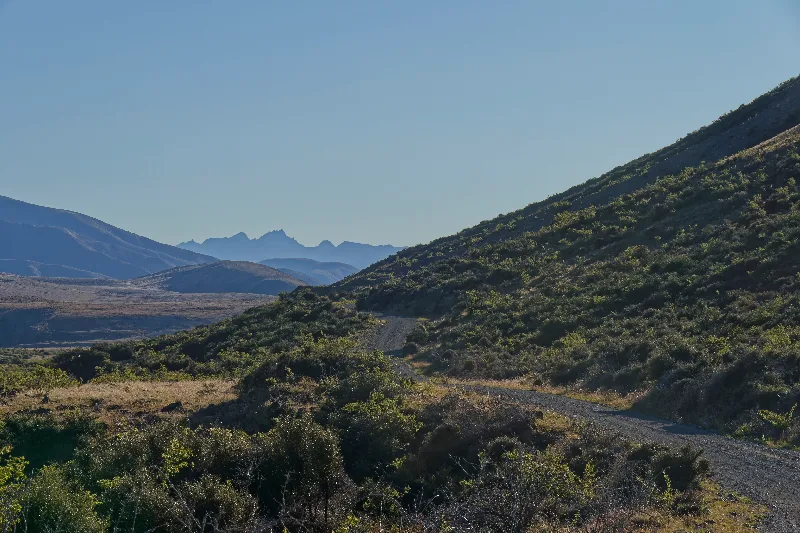
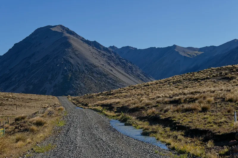
Morning on Rainbow Road, distant peaks catching the early light.
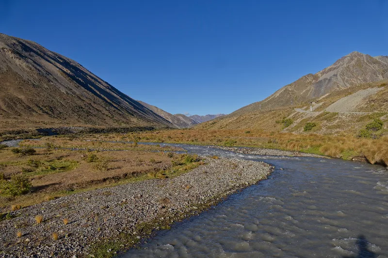
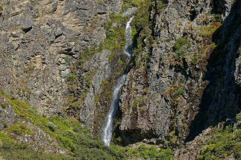
A waterfall dropping down the valley wall along the way.
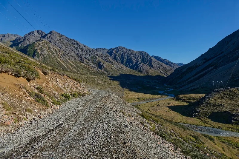
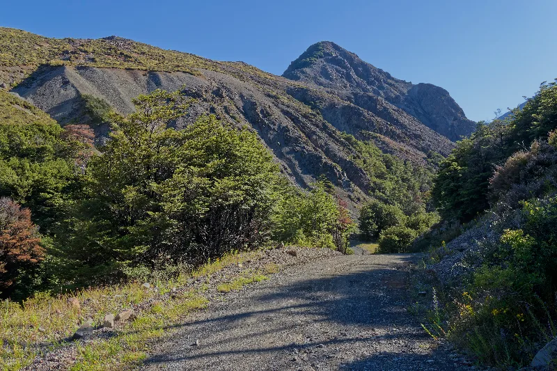
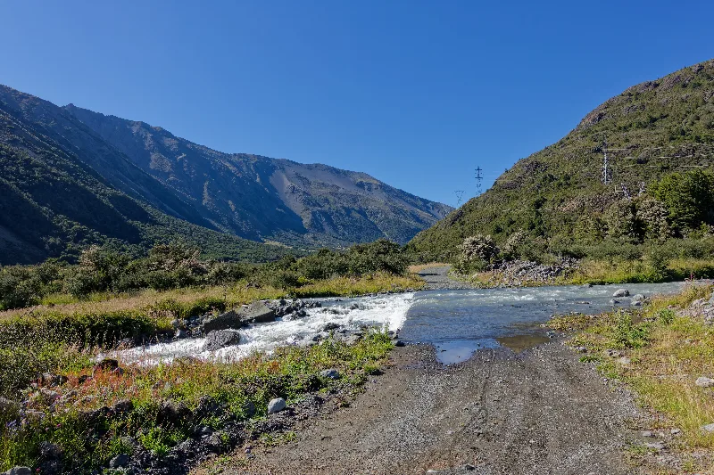
One of the day's river fords — the road running straight through the water.
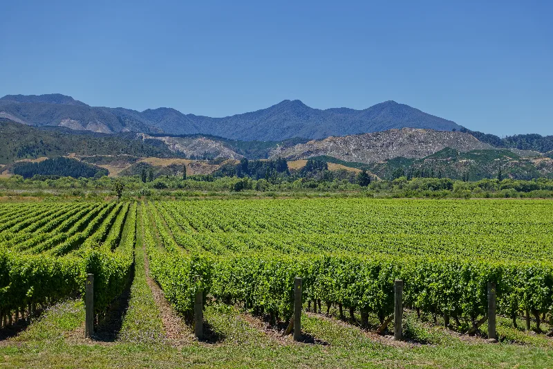
Vineyards in the Wairau Valley, the day's tailwind run finally paying off.
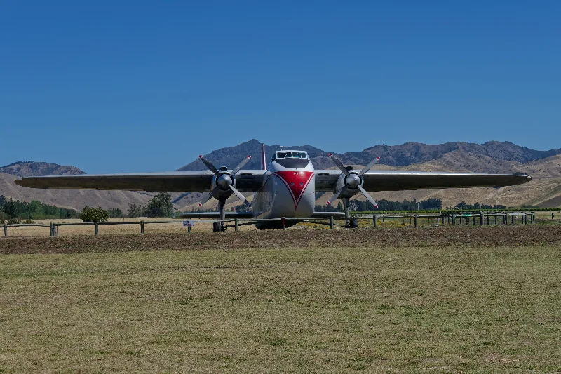
A vintage twin-engine aircraft on display near Blenheim.
By bus from Blenheim to Kaikoura and back, about ninety minutes each way. The road down was hilly and dry, past vineyards and a bay with old salt works — once considered as a possible alternative port, before an earthquake a few years back put an end to that plan.
Whale watching was cancelled for the day because of the weather, so a walk around the peninsula instead, with seals and plenty of birds to watch from the rocks. Kaikoura's own mountains stayed hidden behind cloud the whole time. Back in Blenheim late, around 21:30.
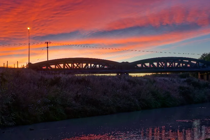
Sunrise over a river bridge in Blenheim, ahead of the early bus to Kaikoura.
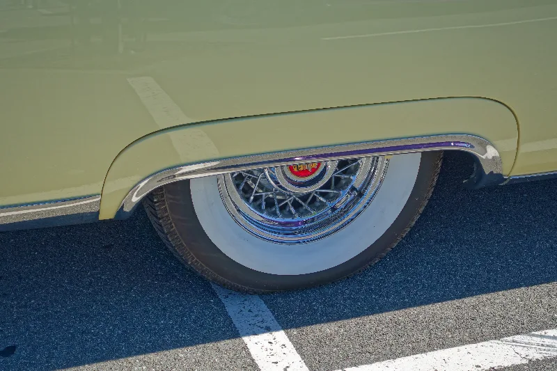
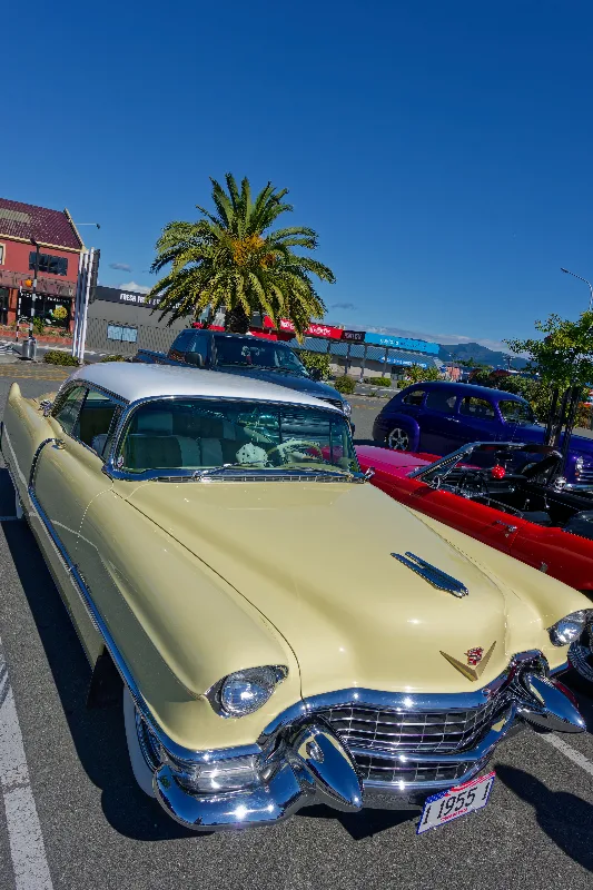
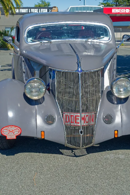
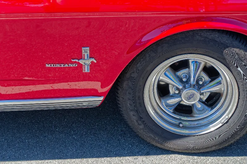
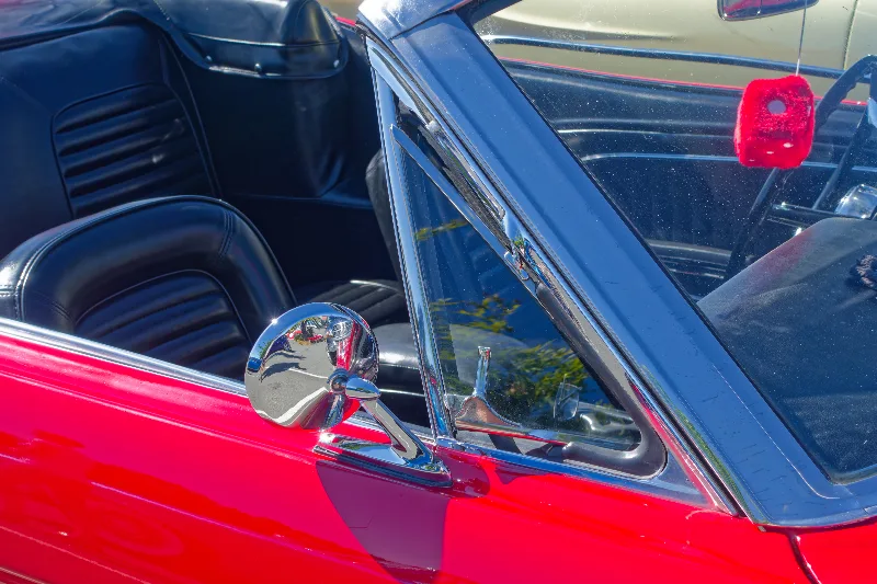
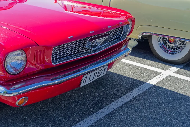
A classic car show in a car park along the way — a 1955 Cadillac among the entries.
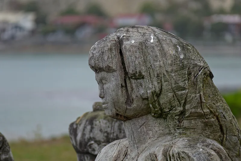
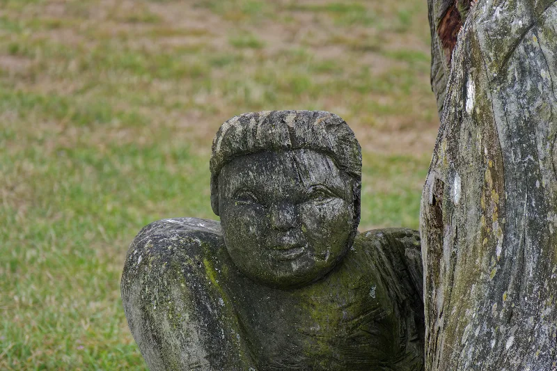
A carved wooden figure facing the water on the Kaikoura waterfront.
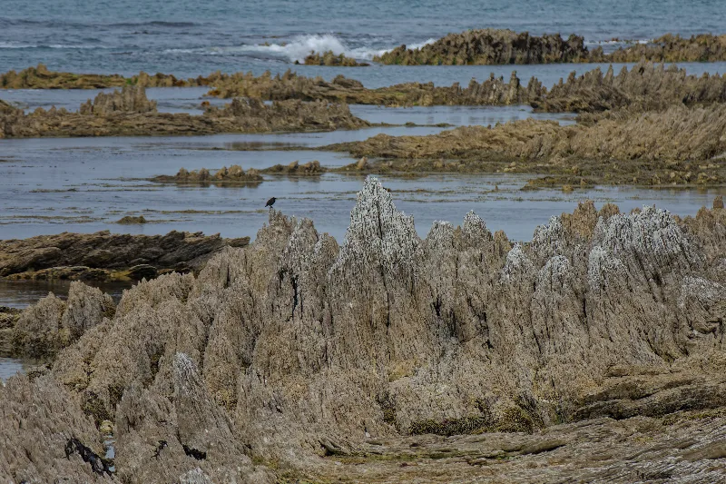
Jagged eroded rock along the peninsula walkway, a bird perched among the outcrops.
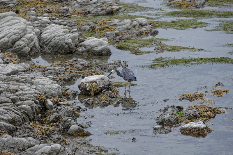
A white-faced heron hunting the shallows among the rock pools.
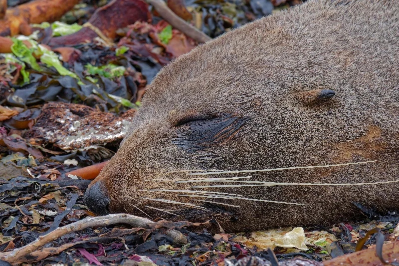
A fur seal asleep among the kelp on the peninsula's rocks.
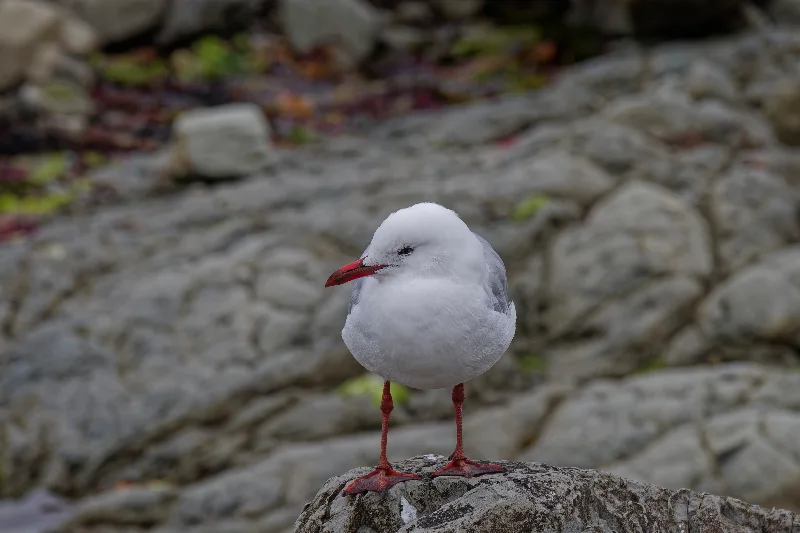
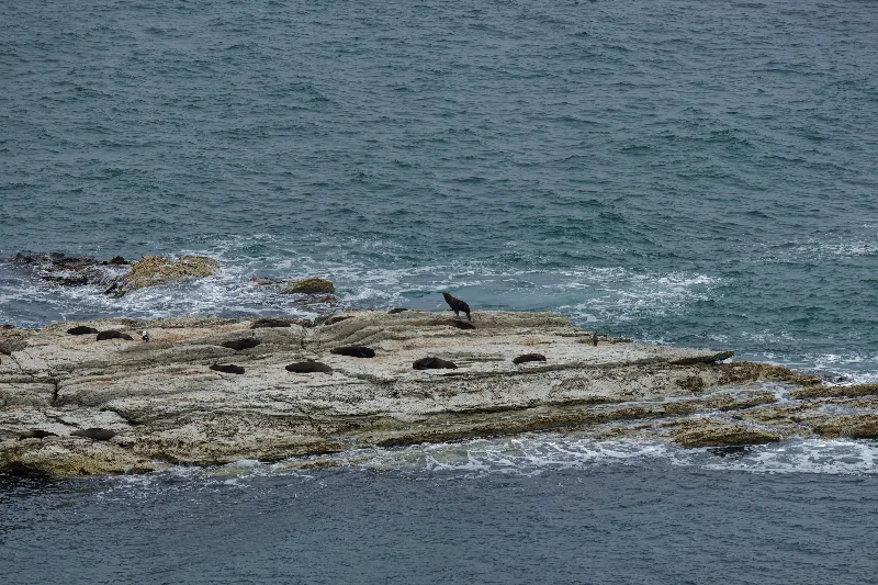
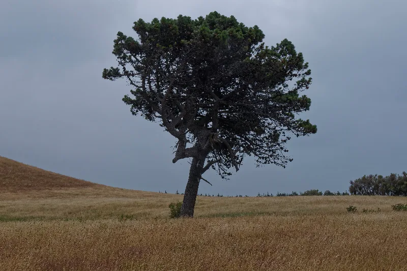
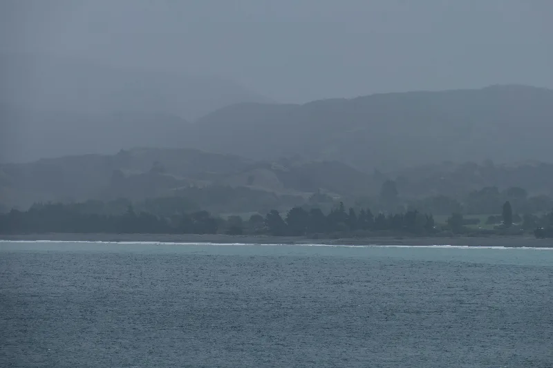
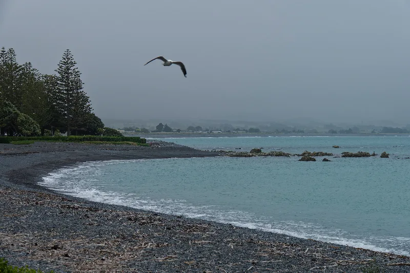
Only the foothills visible across the bay — the higher Seaward Kaikoura Range stayed hidden in cloud all day.
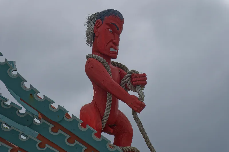
A brightly painted carved figure on a waka-style structure near the waterfront.
Kaikoura
Kaikoura sits on a small peninsula on the Marlborough/Canterbury coast, its Māori name meaning roughly "meal of crayfish," a reference to the abundant seafood that has always supported the local Ngāi Tahu community. The town's real distinction, though, lies just offshore: the Kaikoura Canyon, a deep submarine trench that comes unusually close to shore here, funnels cold, nutrient-rich water up from the depths and supports a rich marine food chain year-round.
That canyon is what makes Kaikoura one of the few places in the world with a resident population of sperm whales visible for most of the year, alongside dusky dolphins, fur seals and a wide range of seabirds — hence the town's whale-watching industry, weather permitting. The peninsula walkway around the seal colonies is a reliable fallback on days when the boats can't get out, taking in rocky shoreline, birdlife and views back to the Seaward Kaikoura Range whenever the cloud lifts.