Biking and Hiking New Zealand - Wānaka and the Gillespie Circuit
Queenstown was heaving, and I couldn't find a decent fish and chips anywhere, so I picked up something at the supermarket instead and carried on to Arrowtown for a Kiwiburger — fuel enough to get over the Crown Range Pass.
Met three cyclists up there who wouldn't stop talking about Cardrona and its beer, so stopped in myself for a beer and a big plate of potatoes. Headwind the rest of the way to Wānaka, where I picked up tomatoes and tuna at the New World supermarket before heading out to the campsite. Met a lot of Danish and German travellers there.
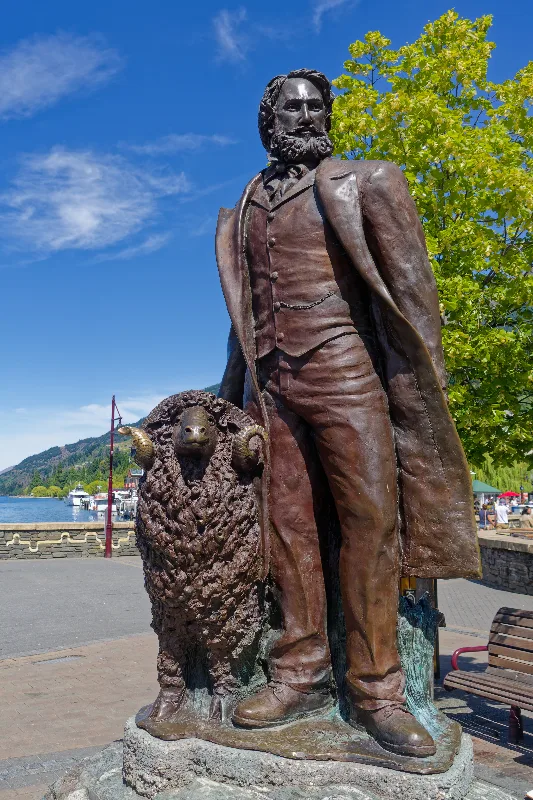
A bronze statue on the Queenstown waterfront — William Rees, the district's first European settler, with one of his Merino sheep.
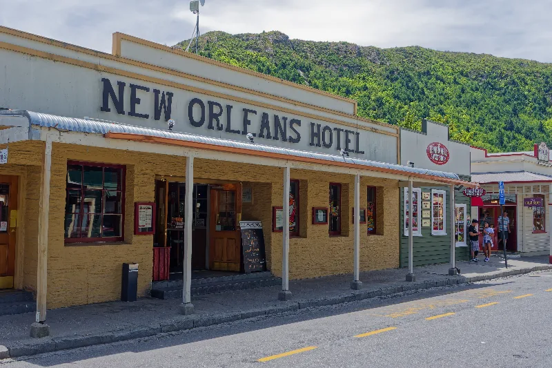
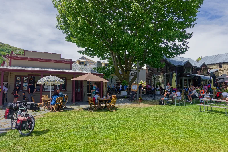
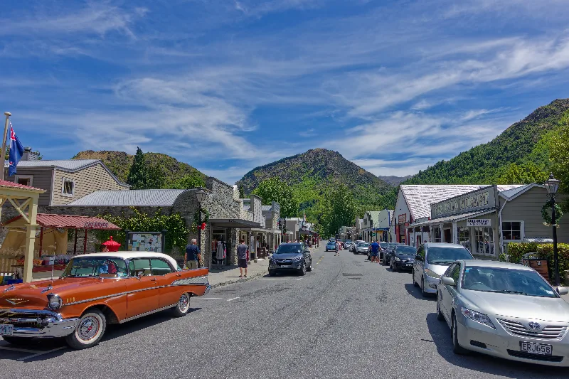
Arrowtown's main street, its gold-rush-era buildings backed by the surrounding hills.
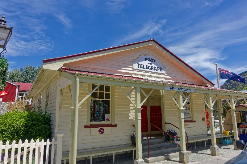
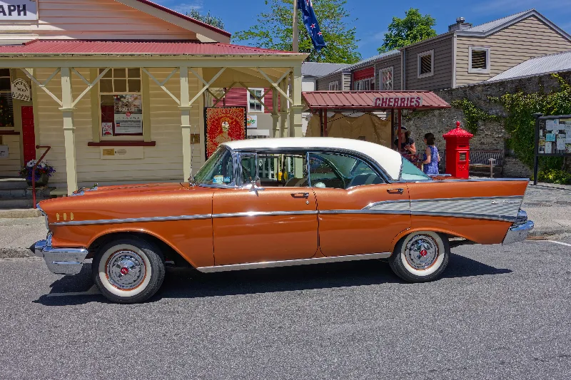
The old Post and Telegraph building on Arrowtown's main street, still marked with its original signage.
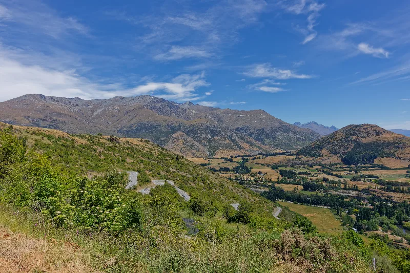
The Crown Range Road climbing in switchbacks above Arrowtown — one of New Zealand's highest sealed roads.
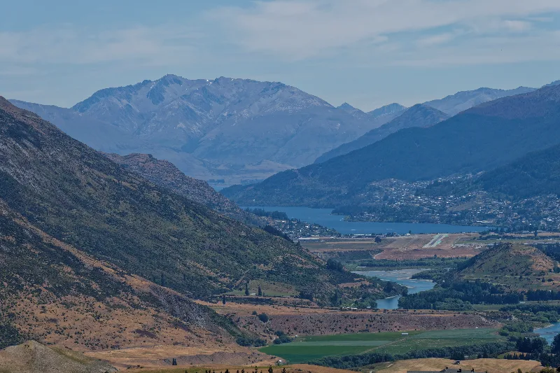
First glimpse of Wānaka from the Crown Range summit, the airfield and lake laid out below.
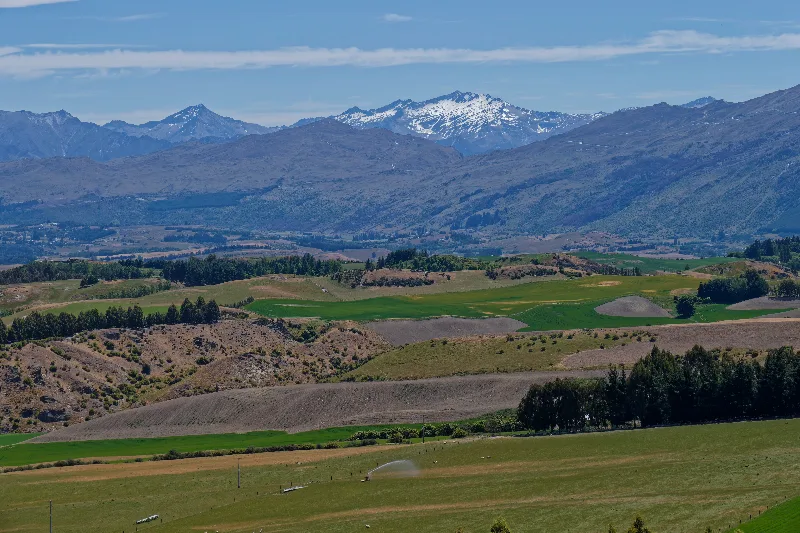
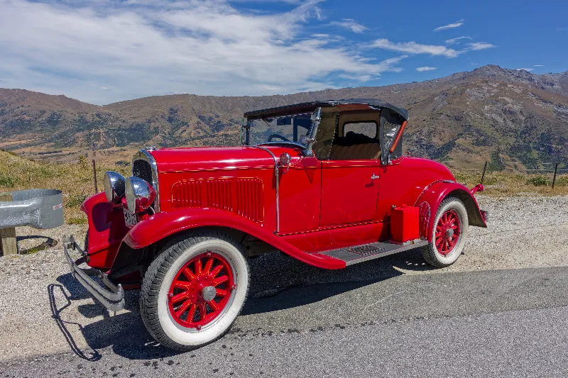
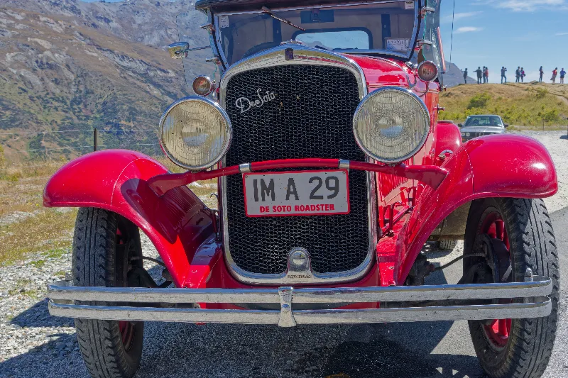
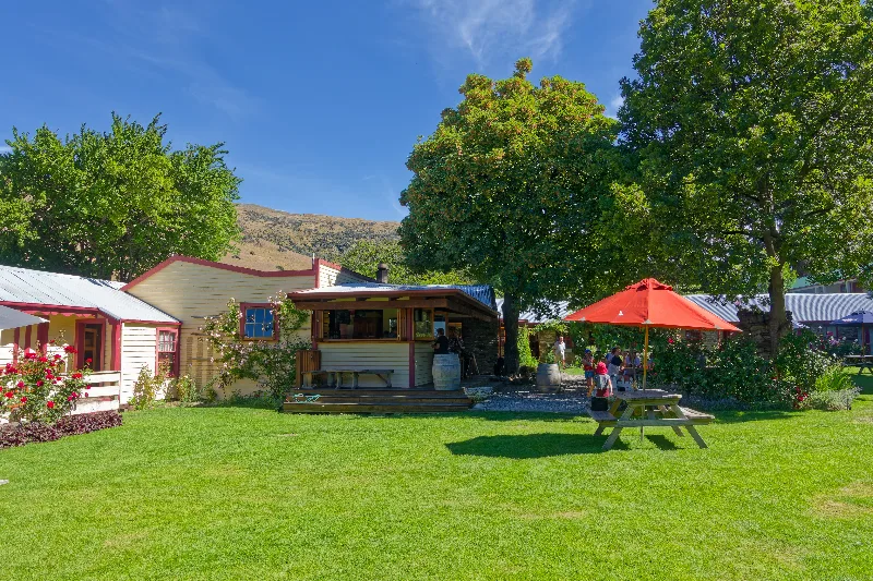
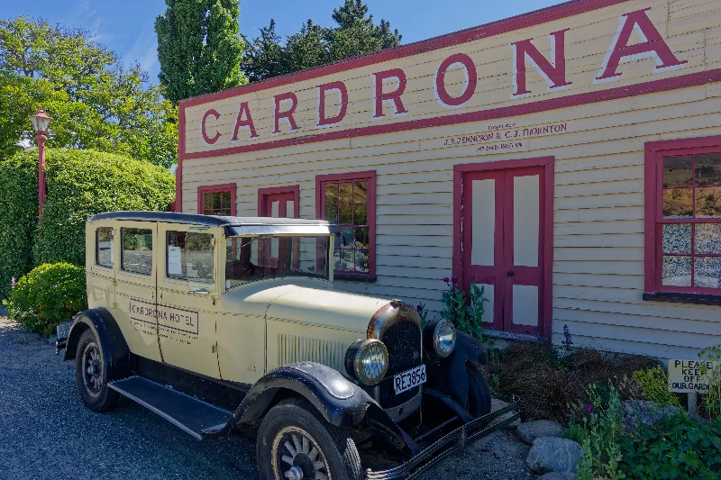
The Cardrona Hotel, one of New Zealand's oldest and most photographed pubs, dating back to the 1860s gold rush.
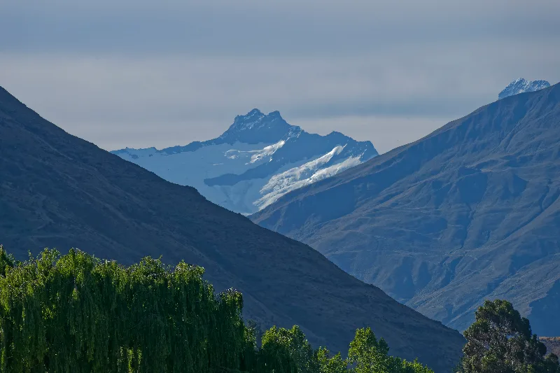
Evening light on the mountains above Wānaka, seen from the campsite.
Wānaka
Wānaka sits at the southern end of Lake Wānaka, in the Otago high country, and has grown from a small lakeside farming and holiday town into one of the South Island's busiest outdoor hubs — a quieter, smaller-scale alternative to Queenstown just over the Crown Range, though it fills up with festivals and tourists of its own over the New Year period.
The town is the main access point for Mount Aspiring National Park, and its setting — lake, mountains, and the Southern Alps rising close behind — has made it a base for tramping, mountain biking, climbing and, increasingly, wine and food tourism. Roy's Peak, on the lake's western shore, is one of its best-known short walks, and the drive north from town up the Makarora valley is the usual approach to the Gillespie Circuit and other Mount Aspiring tracks.
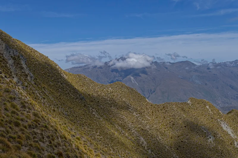
Slept in and only set off at 9:00 for Roy's Peak — paid for it in sweat, about five hours up and back.
The campsite back in Wānaka was completely packed — a nearby festival had brought a lot of young people in, partying loudly late into the night — so glad to be moving on the next day rather than staying another one. Grilled lamb and kumara in the evening, having shopped beforehand for four lean days on the trail: couscous, tuna, noodles, trail mix, muesli bars. Sorted out backcountry hut passes — tent for most nights, one hut booked — and a rough plan for the days ahead: Makarora tomorrow, then into the Siberia Valley and over Gillespie Pass to the Young River and back around to Makarora.
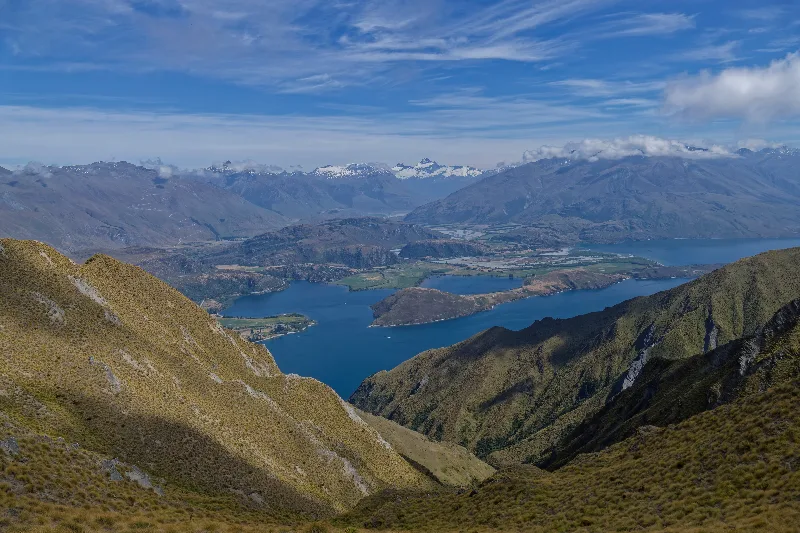
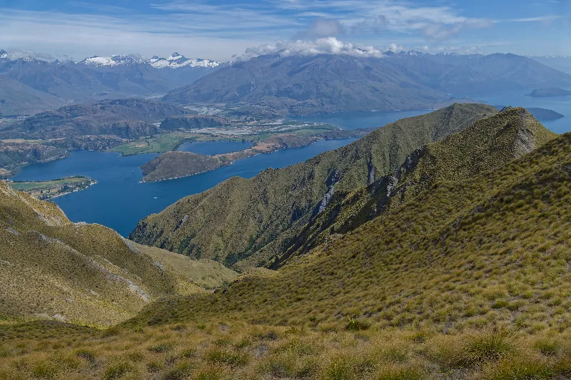
The classic Roy's Peak view: Lake Wānaka and its islands, the Southern Alps layered behind.
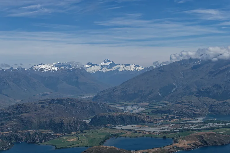
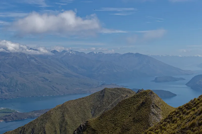
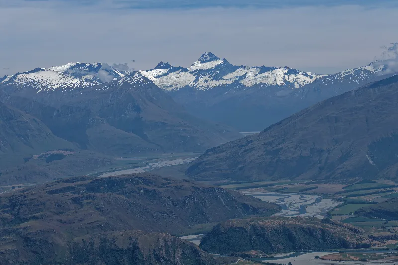
The sharp peak of Mount Aspiring / Tititea, framed by the Matukituki Valley from the summit ridge.
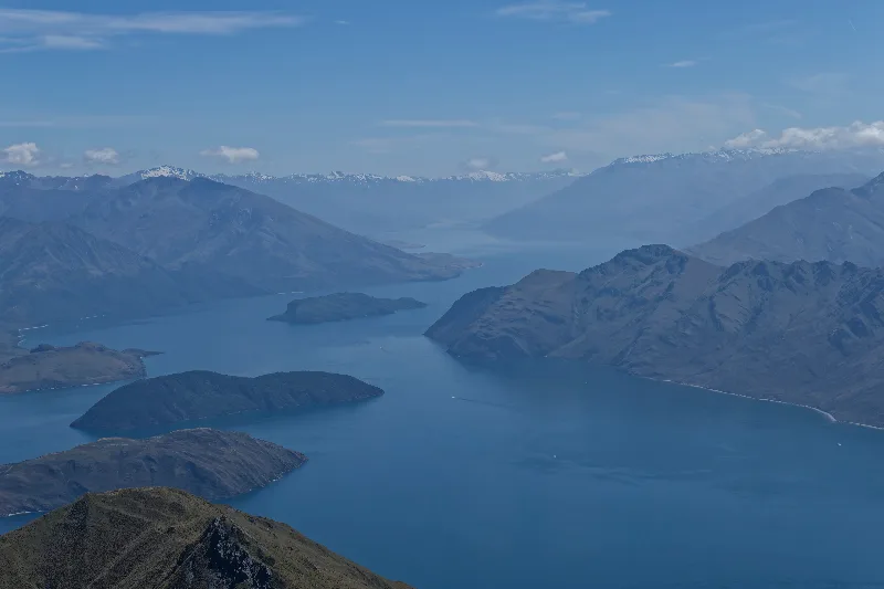
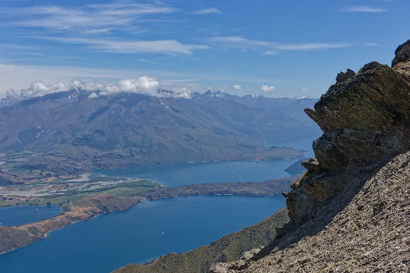
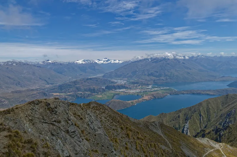
Weathered schist outcrops right on the ridge, Lake Wānaka far below.
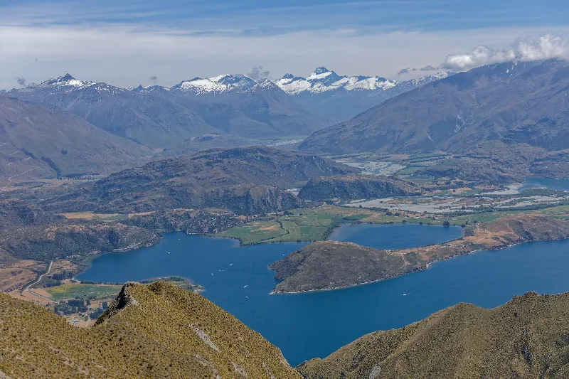
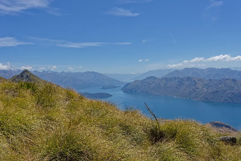
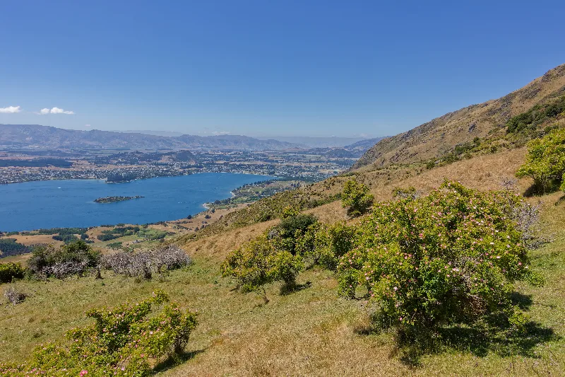
Flowering wild briar on the way back down, Wānaka township spread out along the lakeshore.
Along Lake Hawea in the morning, then on to Makarora — a stop at the café and the campsite, where I arranged to leave the bike behind for the tramp ahead.
A fairly strong storm rolled through the site from about 2 p.m. One last time online for 2015, and a report sent off before the connection is gone for a few days. Gear is starting to show its age after months on the road — tent, sandals, the lot — but that's a problem for another day.
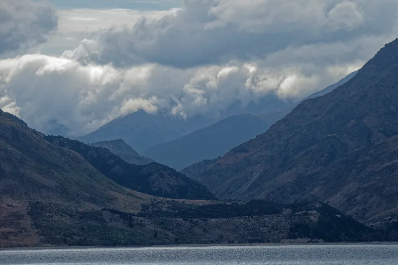
Cloud filling the valley above Lake Hawea in the morning.
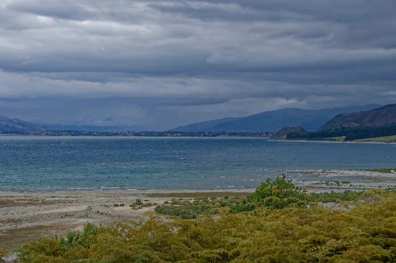
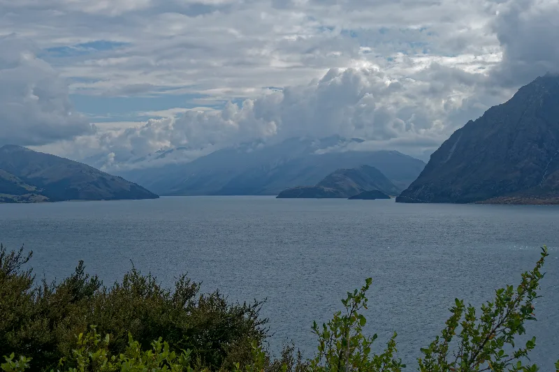
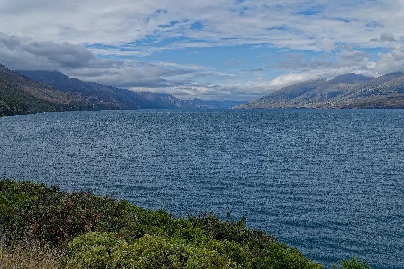
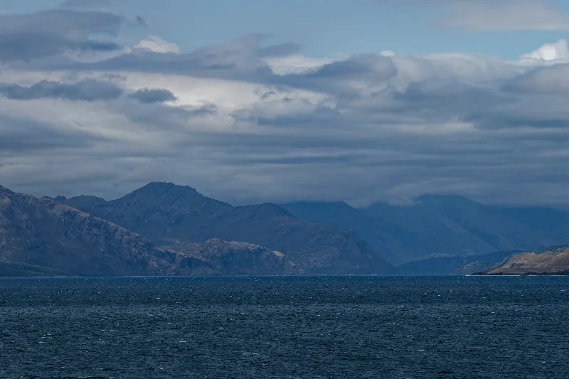
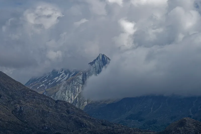
A sharp peak briefly breaking through the cloud on the drive north.
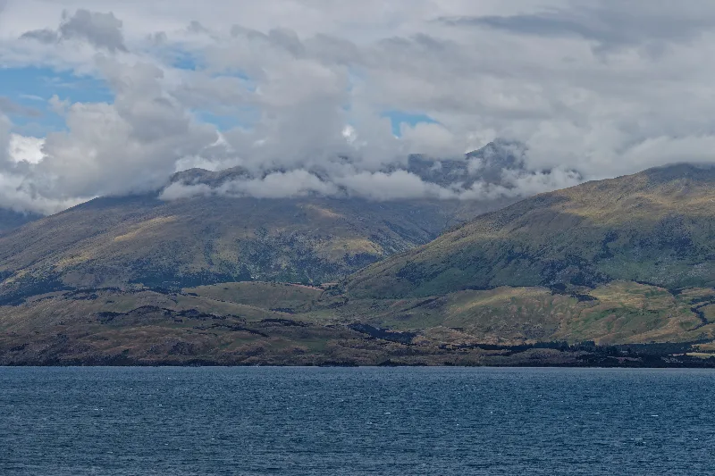
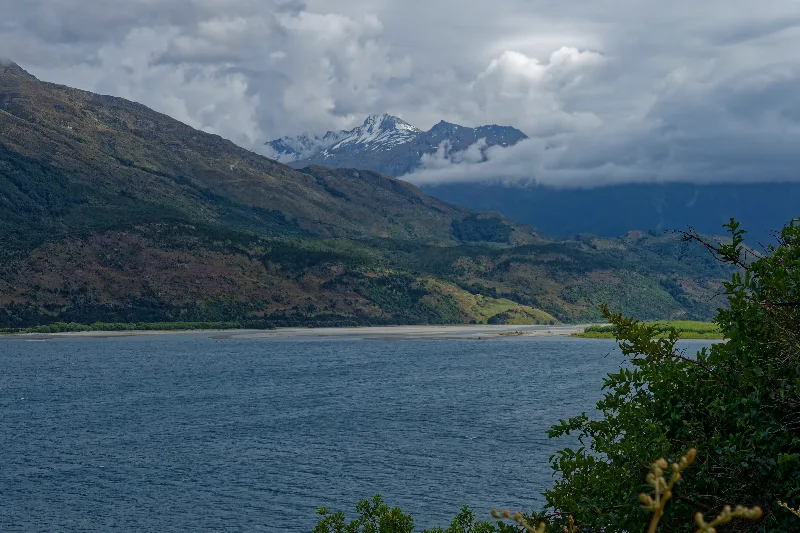
A river delta spreading into the lake near the road to Makarora.
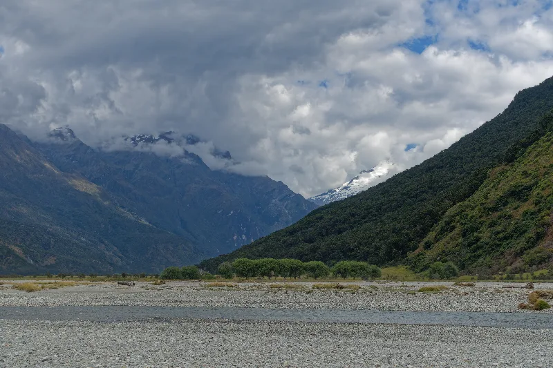
The wide gravel bed of the Makarora River, storm clouds building over the valley.
Makarora and Mount Aspiring National Park
Makarora is a tiny settlement at the northern end of the Haast Pass route, on the boundary of Mount Aspiring National Park, and the main starting point for tramps up the Wilkin and Young river valleys. Beyond a café, campsite and a handful of houses, there isn't much to the settlement itself — its role is almost entirely as a gateway into the mountains and rivers behind it.
Mount Aspiring National Park, New Zealand's third-largest, takes its name from Aspiring / Tititea, the sharp pyramidal peak often called the "Matterhorn of the South." Much of the park is glaciated high country cut by braided rivers and beech-forested valleys, with far fewer roads and huts than Fiordland to the south, and most of it accessible only on foot — which is exactly what draws trampers to routes like the Gillespie Circuit out of Makarora.
Hot weather, blue sky, barely a cloud. Set off at 7:30 from the café at Makarora. Forded the river up to mid-thigh deep — the sandals are now definitely done for.
Up the Wilkin Valley: the track difficult and overgrown at the start, unmaintained for years, then easier going over open grassland further up. Reached the Siberia Valley that evening — the hut apparently full, but around eight more tents pitched outside as well.
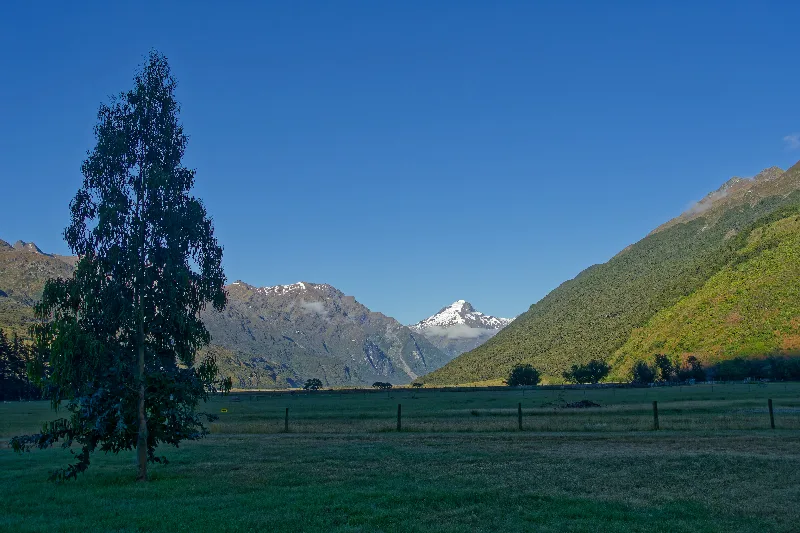
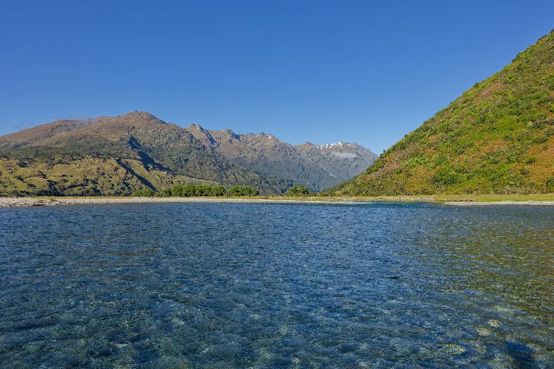
Clear water at the ford — this is the crossing that finished off the sandals.
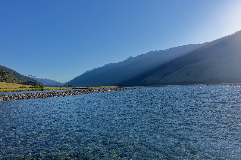
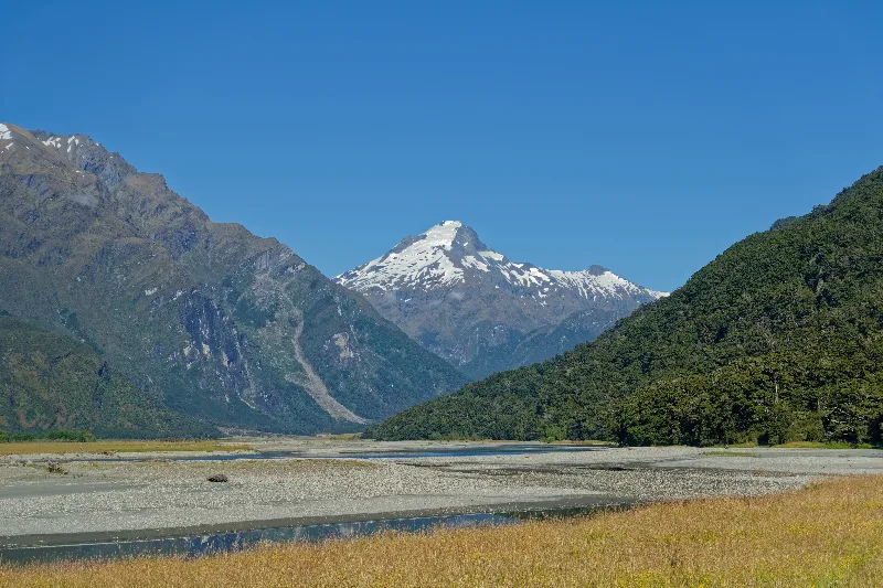
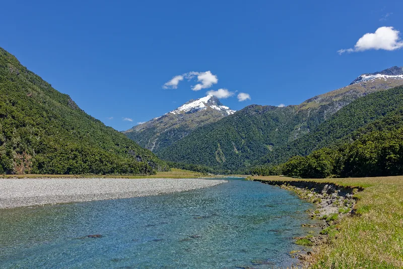
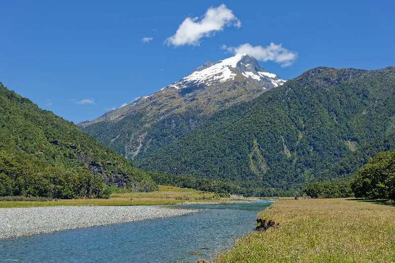
The braided riverbed of the Wilkin Valley, snow still lying on the peaks ahead.
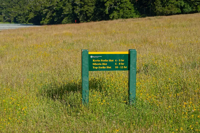
The track sign at the start of the Wilkin Valley route: Kerin Forks, Siberia and Top Forks huts, each a good day's walk apart.
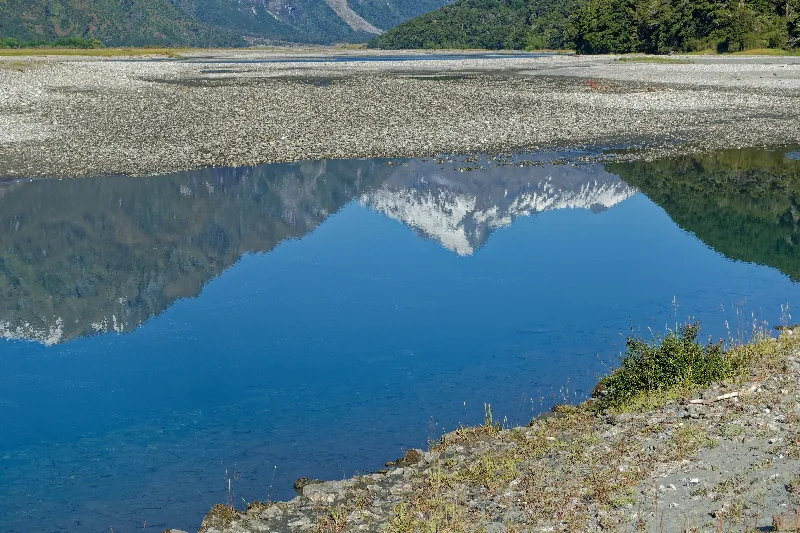
A still side-pool mirroring the mountains above the riverbed.
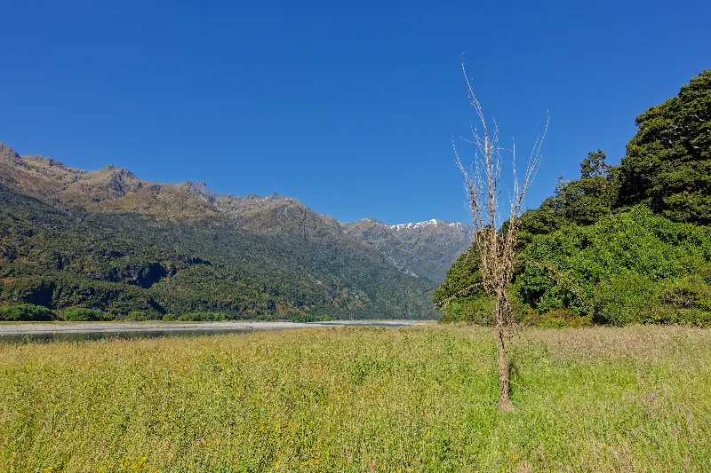
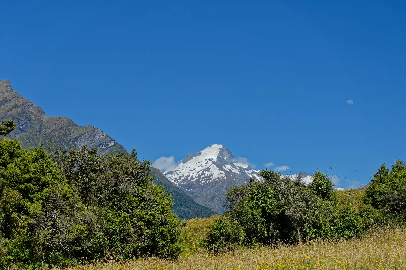
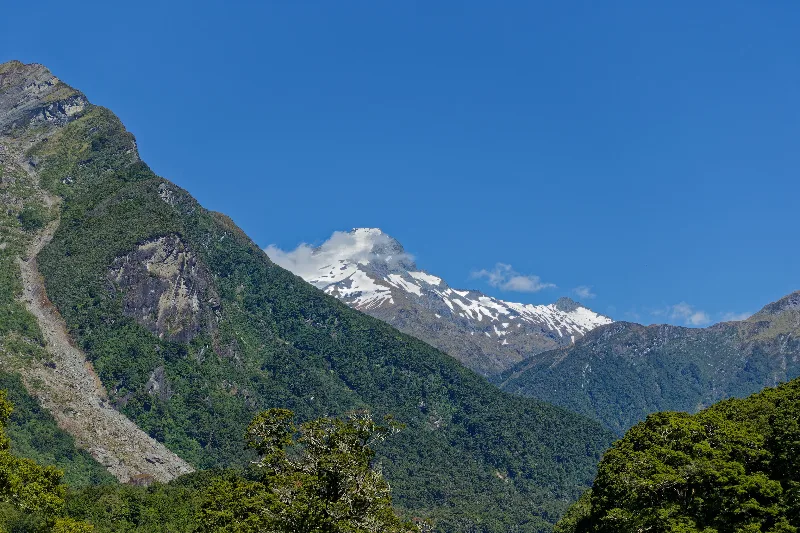
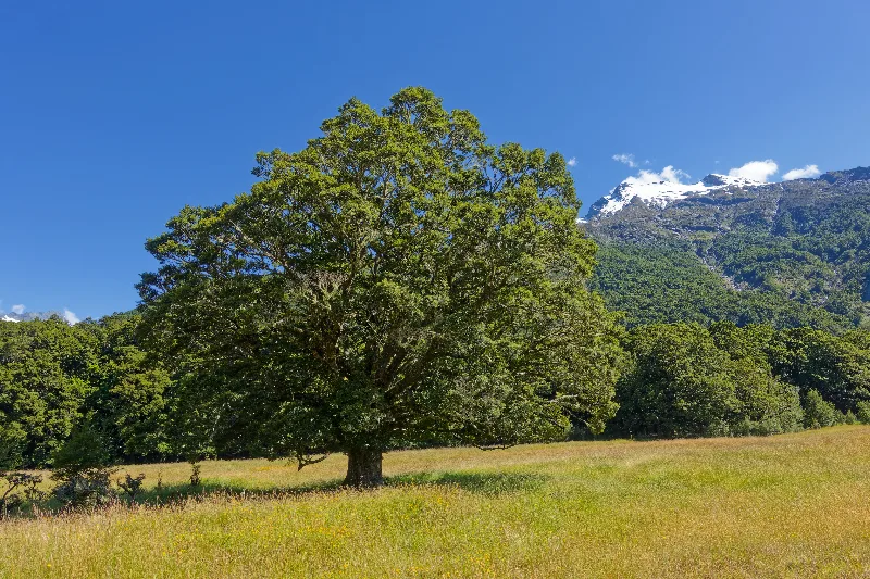
A large European tree standing alone in a clearing — a relic, most likely, of the valley's farming days.
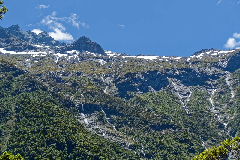
Snowmelt streaking down the ridge in dozens of thin waterfalls.
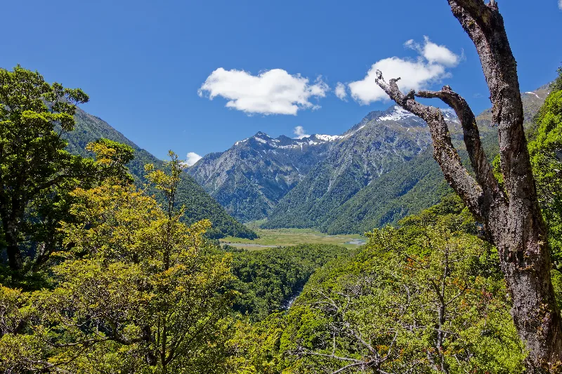
First view down into the Siberia Valley from the track above.
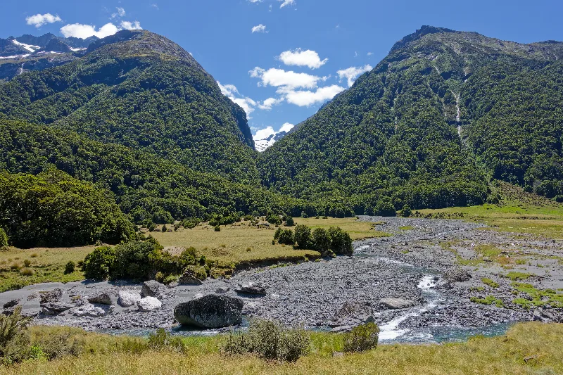
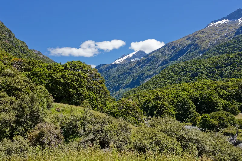
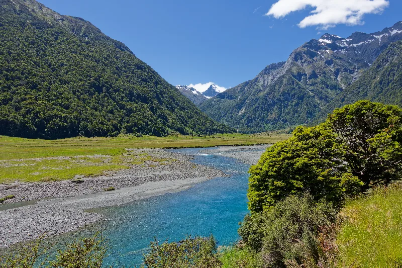
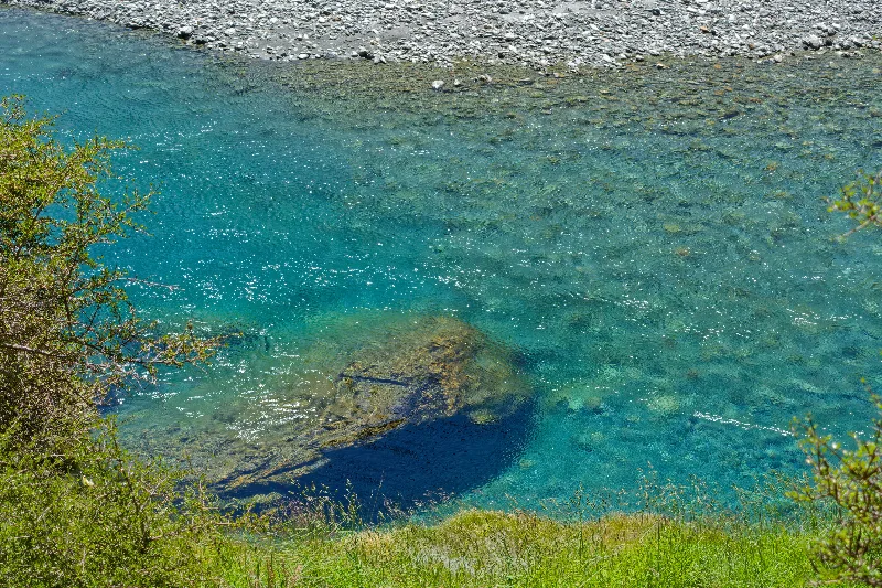
One of the valley's turquoise pools, glacial silt giving the water its colour.
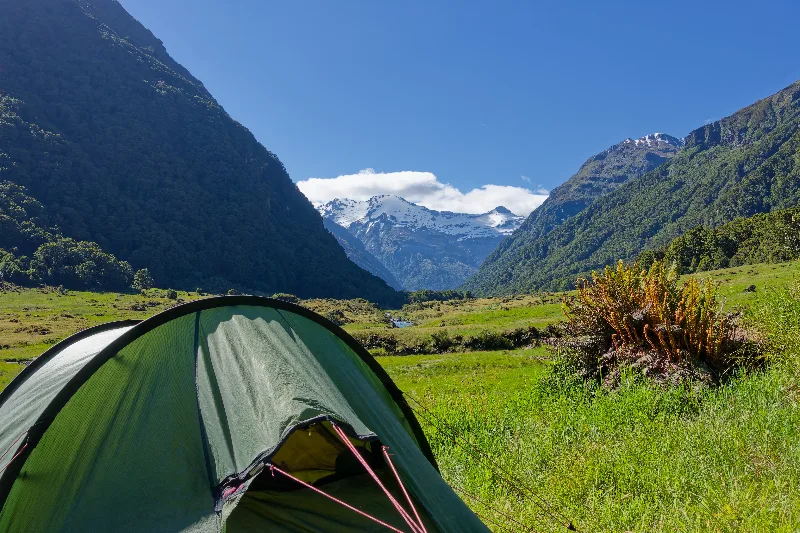
Tent pitched on the flat valley floor of the Siberia Valley for the night.
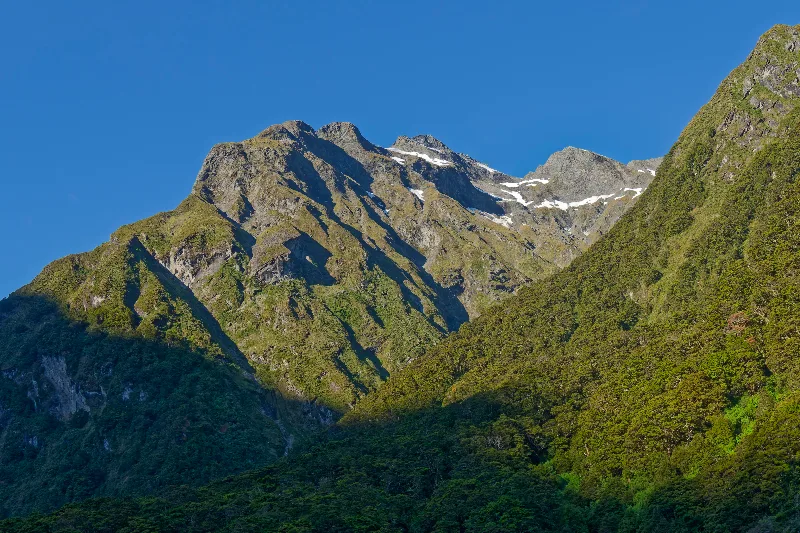
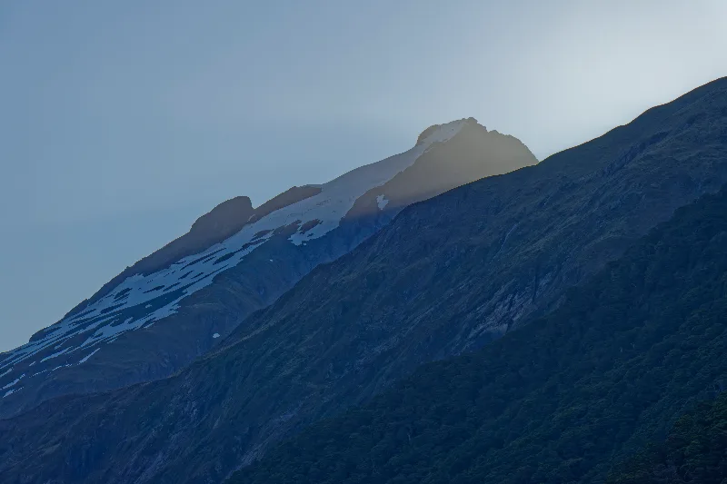
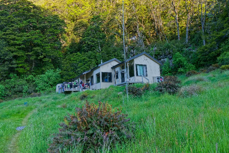
Siberia Hut in the evening light, already busy with other trampers.
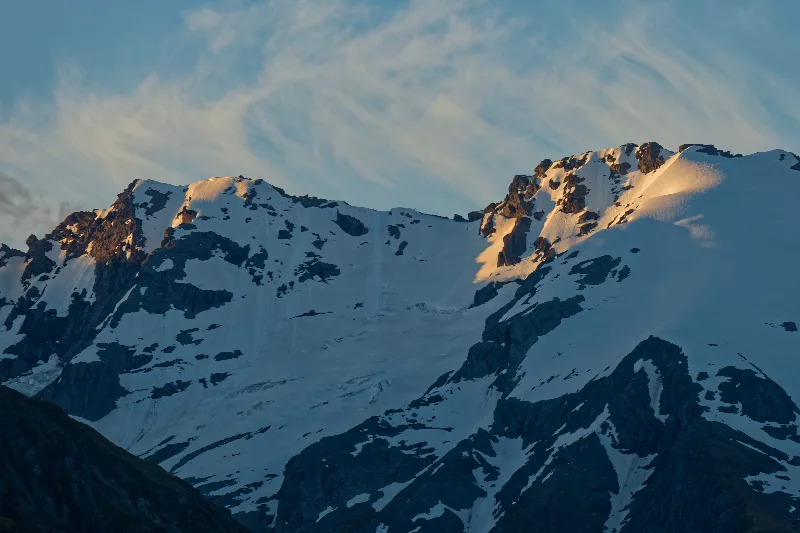
Alpenglow on the peaks above Siberia Valley — the last light of 2015.
The Gillespie Circuit
The Gillespie Circuit is a multi-day tramping loop out of Makarora, linking the Wilkin and Young river valleys over Gillespie Pass in the heart of Mount Aspiring National Park. It is less developed and quieter than the Great Walks further south, with two significant river crossings, rough unmaintained sections, and a steep climb over the pass itself — a step up in difficulty from the well-formed tracks around Fiordland.
The pass separates two peaks with less-than-inviting names, Mount Awful and Mount Dreadful, though the scenery on a clear day belies them completely. From the top, the track drops into the Siberia Valley and then the North Branch of the Young River, both known for spectacular alpine views and — in season — for some of the fiercest sandfly numbers in the region, a fair trade for the relative solitude of the route.
| Place | Day | Distance | Time | Description |
|---|---|---|---|---|
| Makarora | 1 | 22 km | 6–8 hours | Up the true-left track through the Wilkin Valley, passing Kerin Forks — where a side crossing of the Wilkin River leads to Kerin Forks Hut — and on to Siberia Flat and the 20-bunk Siberia Hut (630 m). |
| Siberia Hut | 2 | 12 km | 6–8 hours | A steep climb through beech forest and a series of snow-grass basins to Gillespie Pass (1,600 m), with Mount Awful and Mount Dreadful flanking the saddle — the high point of the circuit — before a steep descent to the bushline and down to the 20-bunk Young Hut (750 m) on the Young River's South Branch. |
| Young Hut | 3 | 22 km | 7–9 hours | Down the Young River to its mouth, with bridged crossings of the Ore and Leven Streams and the Blue and Makarora Rivers, out to the Blue Pools car park on SH6 — a short distance from Makarora. |
| Blue Pools / SH6 | End of the circuit. |
Very good weather held into the new year — sunshine all day and clear skies overnight. Up and over Gillespie Pass, steeper than anything on the approach, with Mount Awful and Mount Dreadful standing either side of the saddle.
Down into the North Branch of the Young River on the far side, in numbers of sandflies to match the scenery. A hard but rewarding day, and a good way to start the year.
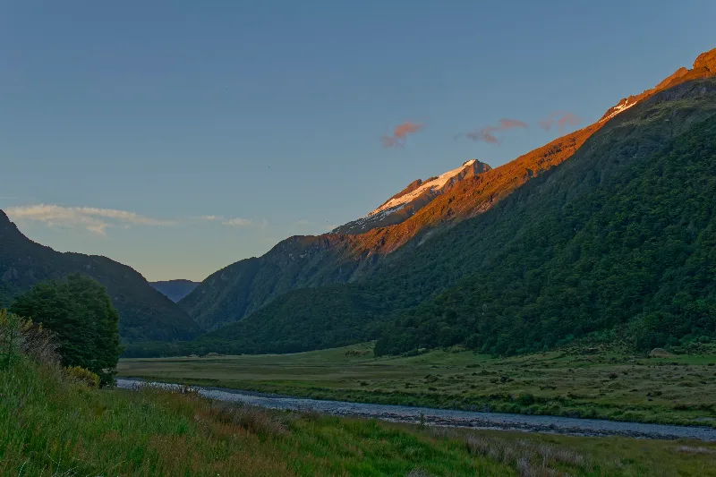
Sunrise on the first morning of the new year, alpenglow lighting the peak above camp.
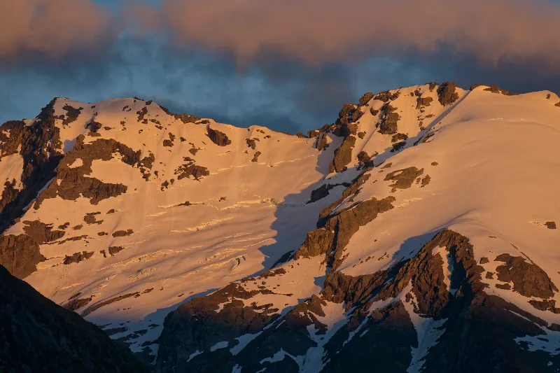
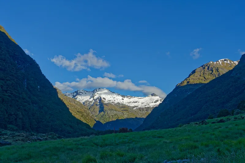
Looking up the valley toward Gillespie Pass, still in morning shadow.
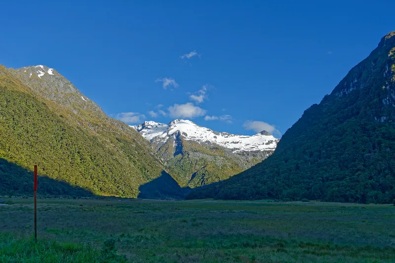
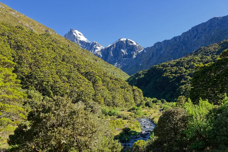
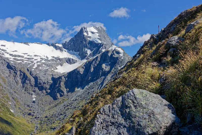
A route marker on the exposed ridge below the pass, snow patches still lying in the gullies.
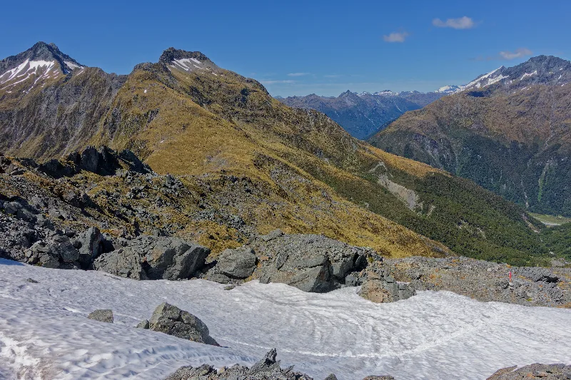
Snow lingering right at Gillespie Pass, tracks leading across it.
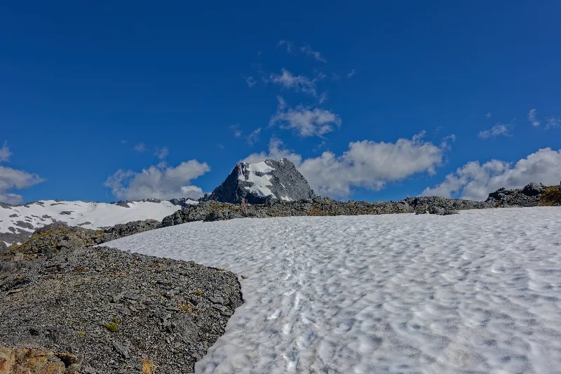
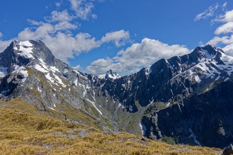
Mount Awful and Mount Dreadful flanking the pass — better company than their names suggest.
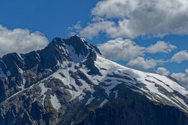
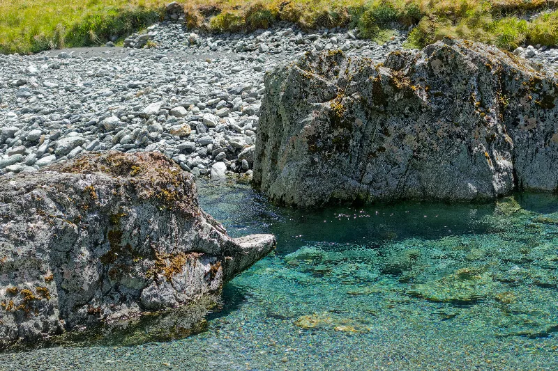
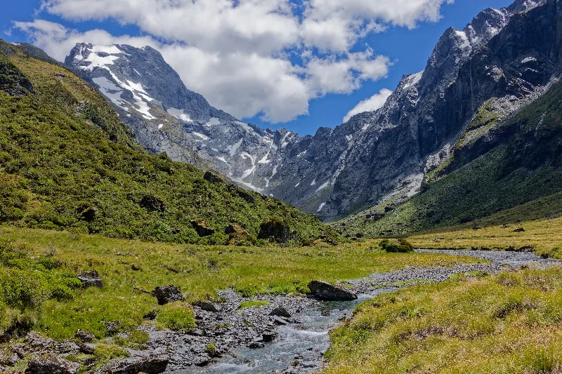
Down into the Young River valley on the far side of the pass.
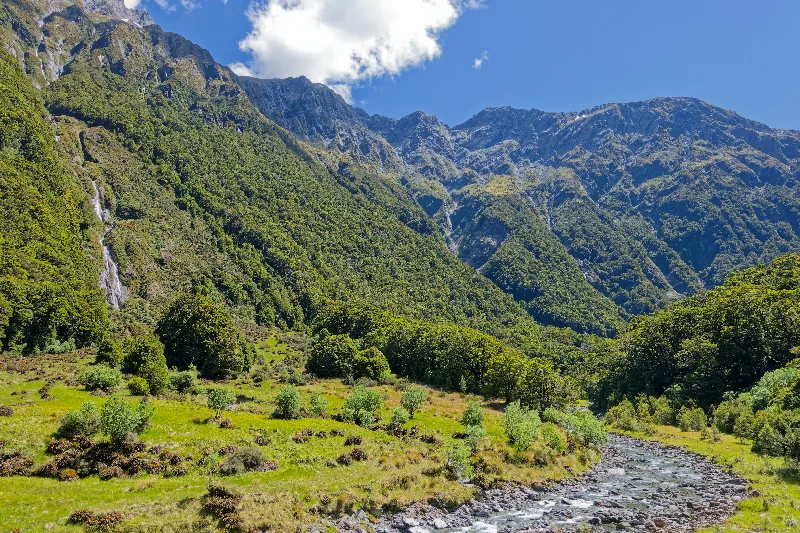
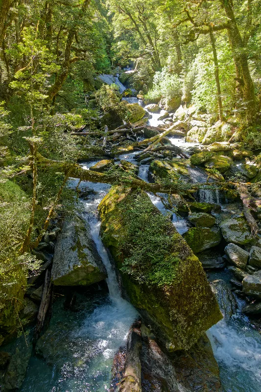
A mossy cascade in the beech forest lower down the Young River track.
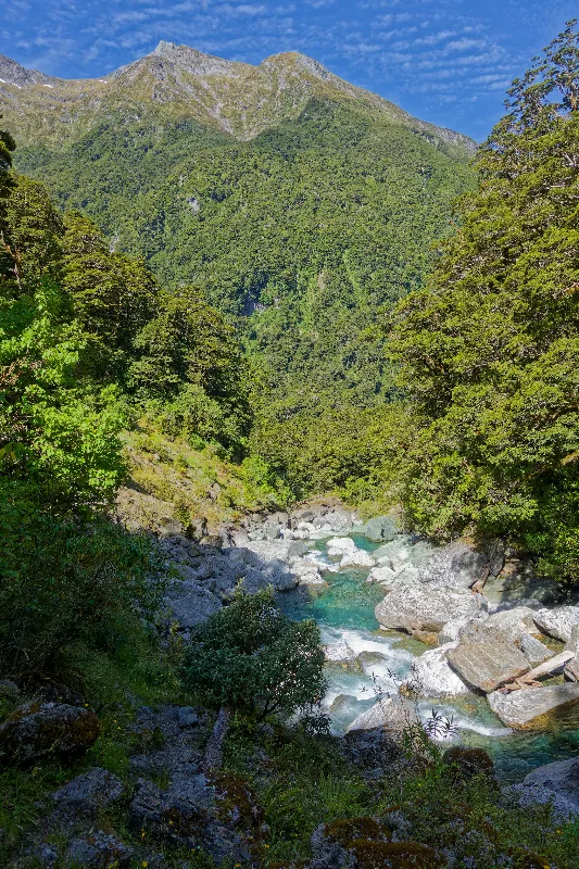
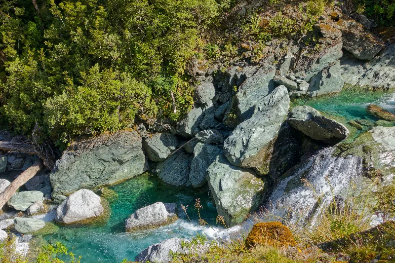
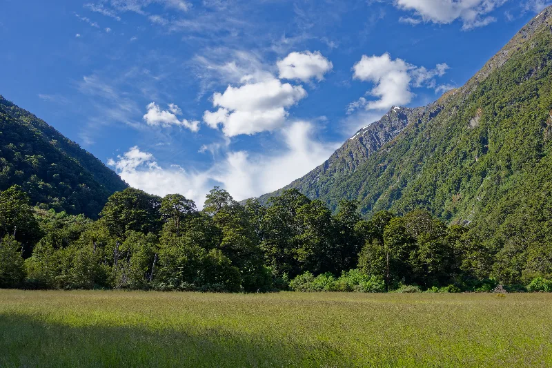
The grassy flat where the day's walk finally eased off, clear skies holding to the end.
Escaped the campsite by about 7:30 — quick packing, since the sandflies were even worse in the morning than the evening before. Muesli bars in the tent; tea was out of the question.
Three and a half hours back down to the road, then a café at 11:30 where I got talking to some Dutch travellers, who gave me a lift the last few kilometres into Makarora in their campervan. The sandals didn't survive the second river crossing on the way out — properly soaked through and finally done for, binned at the first café. Overcast today, and the track itself was less interesting than the day before, but easy going throughout.
Probably the toughest but best walk I've done in New Zealand so far, and good that it came near the end of this stretch — Tongariro and Mount Taranaki still to come, weather and timing permitting. In the evening, the Austrian cyclists from the Kepler Track turned up at the campsite too — beer, wine, and cooking together.