Biking and Hiking New Zealand - Rivers and Mountains
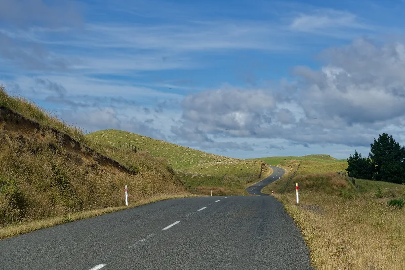
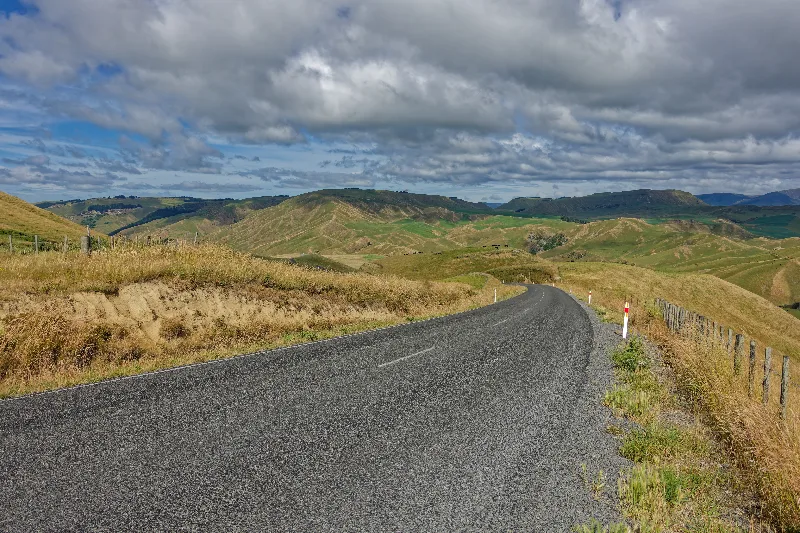
A lunch stop for fried rice with chicken at a Chinese takeaway — $10, more than I needed, but I was hungry. Then the climb up the Napier–Taihape Road: steep, and glad it's sealed now rather than gravel, though the asphalt still didn't make the climbing effortless.
On past Waiouru on the main highway, headwind giving way to rain later, which made the going easier if not drier. In Ohakune by about 15:30. Rode the Old Coach Road that evening without the panniers — part road, part singletrack, up on the road and down on the trail. More wind and rain forecast for tomorrow.
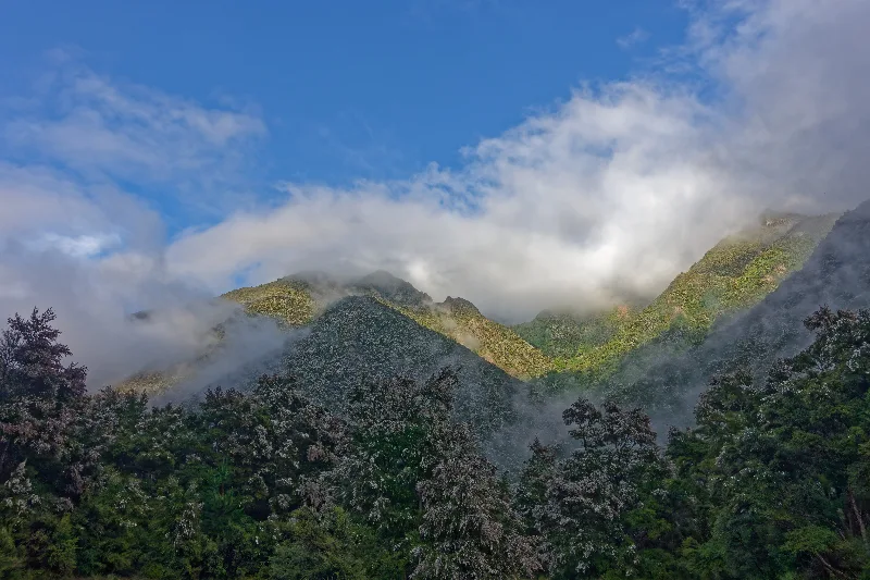
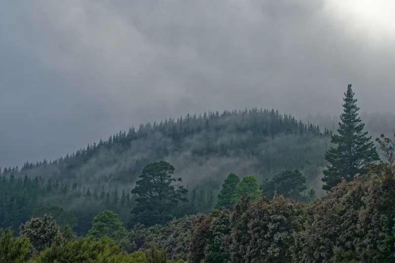
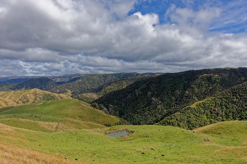
Morning mist lifting off the forested hills on the climb out along the Napier–Taihape Road.
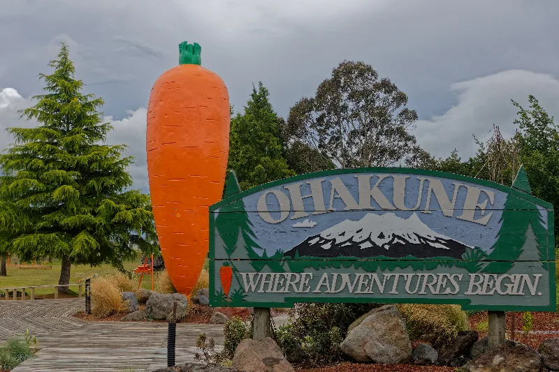
Ohakune's giant carrot — "Where Adventures Begin" — marking the edge of town.
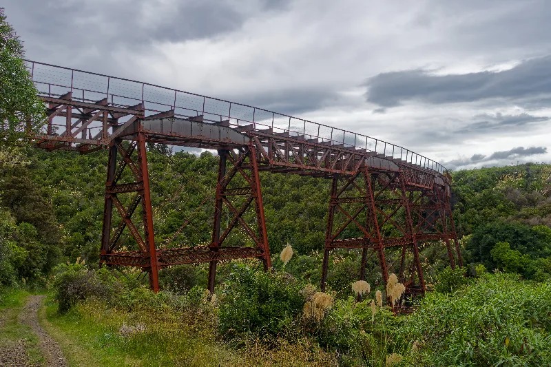
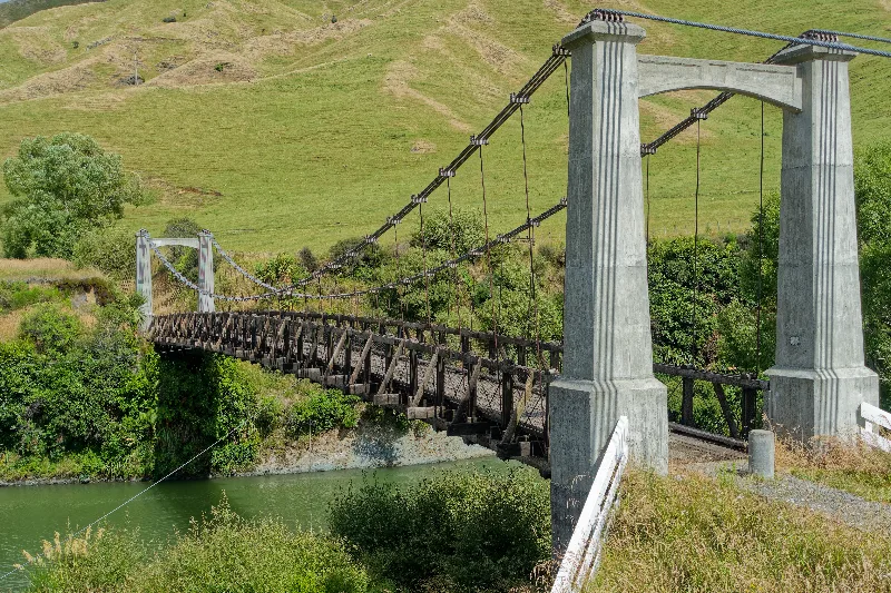
One of the two original railway viaducts now carried into the Old Coach Road trail.
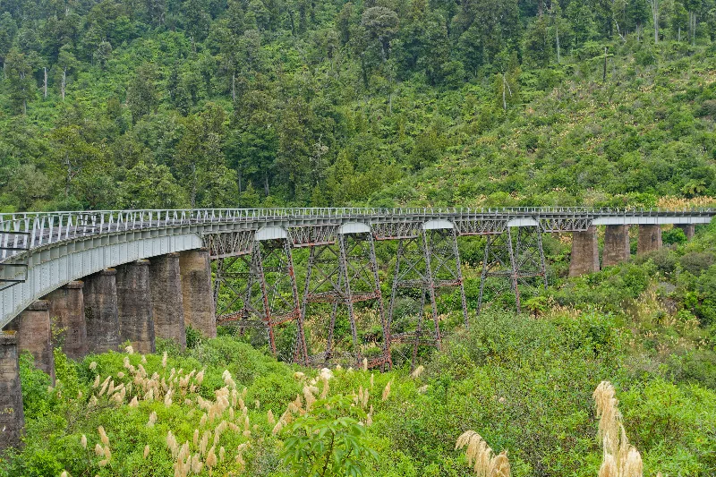
The second of the two viaducts, curving away through the bush.
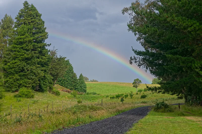
The Old Coach Road
Ohakune's Old Coach Road was built in the early 1900s to carry passengers and freight between the two ends of the North Island Main Trunk railway line while the central section, including the Raurimu Spiral, was still under construction. Horse-drawn coaches covered the gap through some of the roughest country on the route until the full line opened in 1908, after which the road fell out of use.
Restored as a walking and mountain-biking trail in the 2000s, it now runs partly on the original formation and partly alongside it, including two of the old railway's original viaducts, and forms part of the wider Mountains to Sea cycle trail linking Mount Ruapehu to Whanganui.
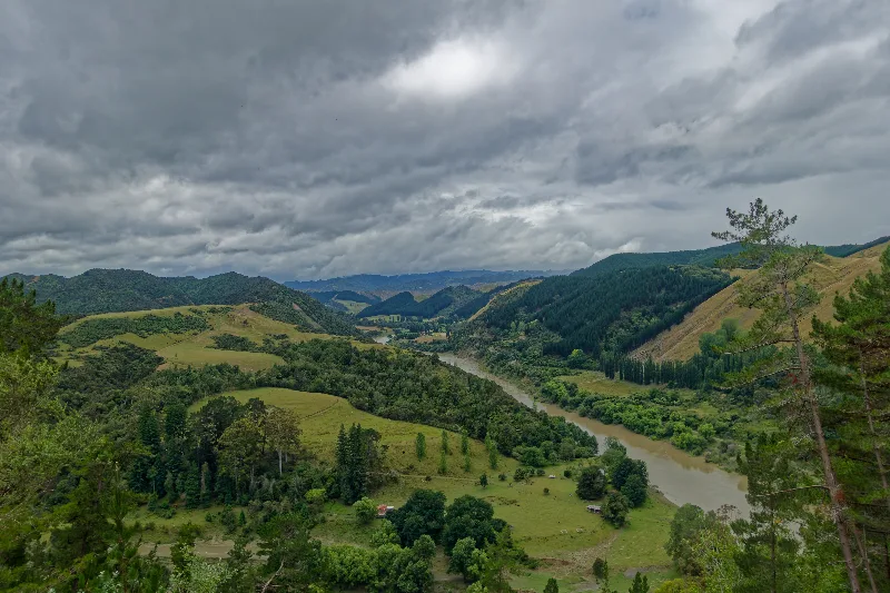
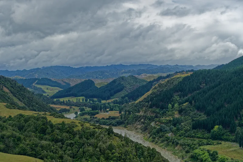
Down along the Whanganui River past Pipiriki, quiet on the water that day — the river was running high enough that kayak trips seemed to be cancelled. A brief glimpse of Mount Ruapehu through the clouds in the morning, then rain on and off for the rest of it.
Shopping in Whanganui, then out to Kai Iwi Beach for a swim in its black sand — rain falling even while swimming, salt water and a free shower at the same time.
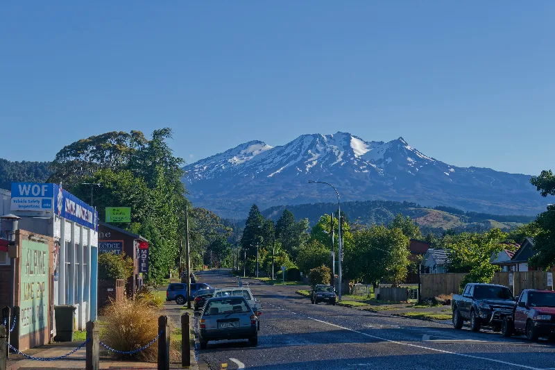
Ohakune's main street with Mount Ruapehu behind it, a rare clear moment before the day's rain set in.
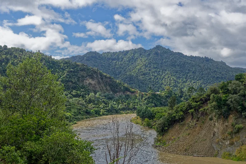
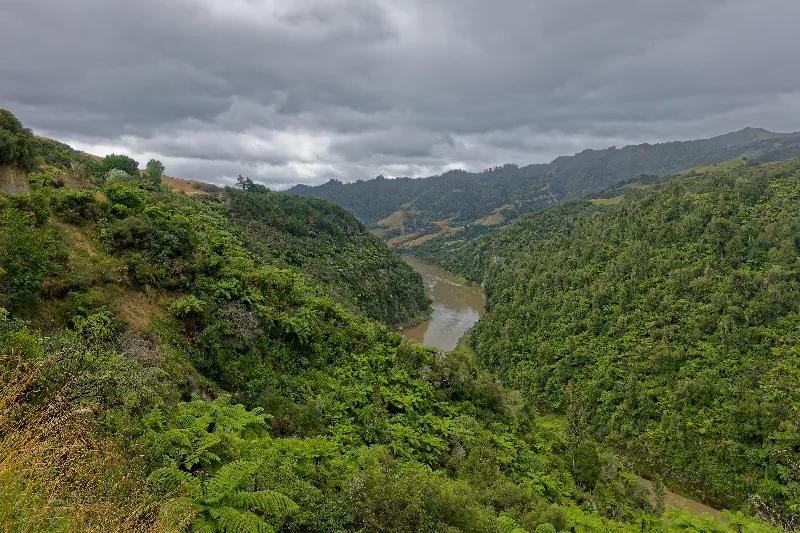
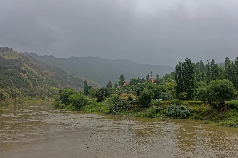
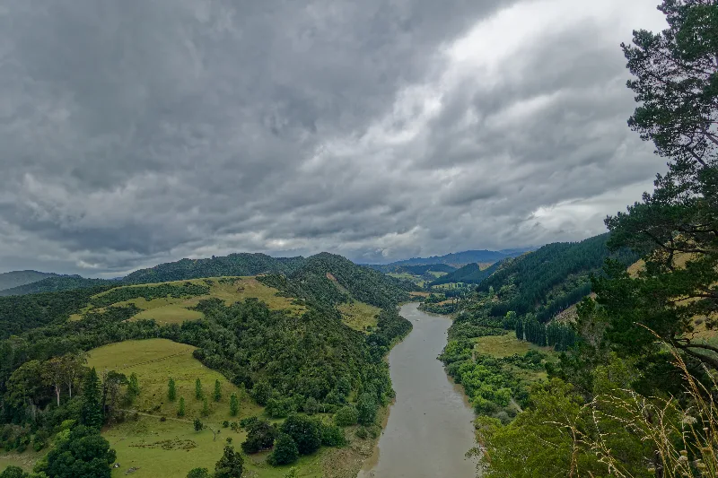
Pipiriki on the Whanganui River, seen through the rain, the water already running high.
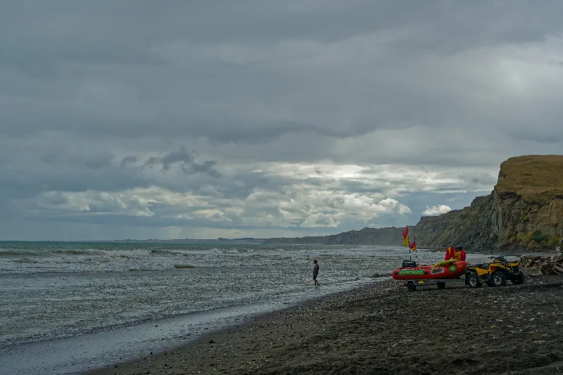
Kai Iwi Beach's black sand, a lifeguard vehicle standing by — the swim that came with a free rain shower.
The Whanganui River
The Whanganui is one of New Zealand's longest navigable rivers, winding roughly 290 km from the slopes of Mount Tongariro to the Tasman Sea at Whanganui city. For Whanganui Māori, the river is central to identity and history, expressed in the saying "Ko au te awa, ko te awa ko au" — I am the river, the river is me — and the settlements strung along its banks, including Pipiriki, were once served by riverboat before roads reached the area.
That relationship was given unusual legal recognition in 2017, when the river became the first in the world to be granted the same legal rights as a person, under a settlement between the New Zealand government and the river's iwi. In 2016 the Whanganui River Road already followed much of that history, a narrow, winding route past old mission stations, marae and riverside farms between Whanganui and Pipiriki.
A busy road heading west, headwind for company. Two hundred sheep came the other way at one point, driven by a shepherd on horseback with a dog working the edges — the sheep, clearly spooked, crowded to the far side of the road and trotted past in a hurry.
A coffee stop in Hāwera, run by a German expat. On to the Stratford campsite, still some rain about, but a clear view of Mount Taranaki's summit that evening — and a better forecast for the days ahead.
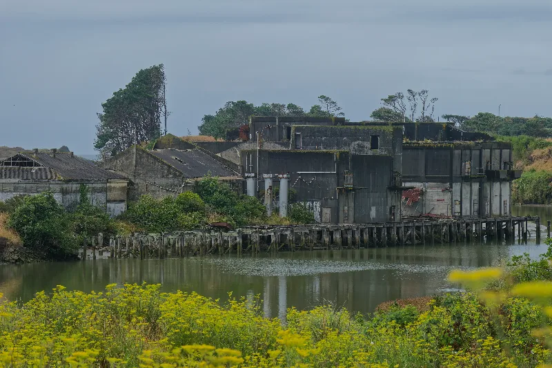
A derelict wharfside building beside a quiet inlet, on the road toward Hāwera.
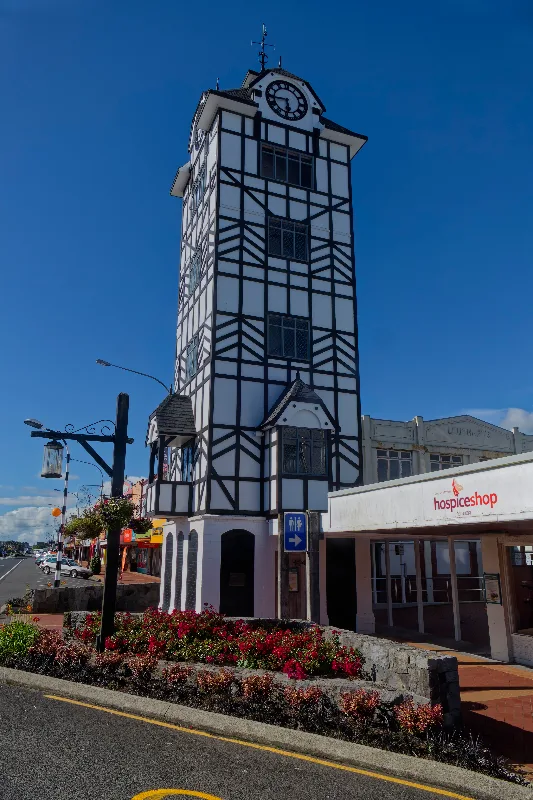
Hāwera's Tudor-style clock tower, in the town centre.
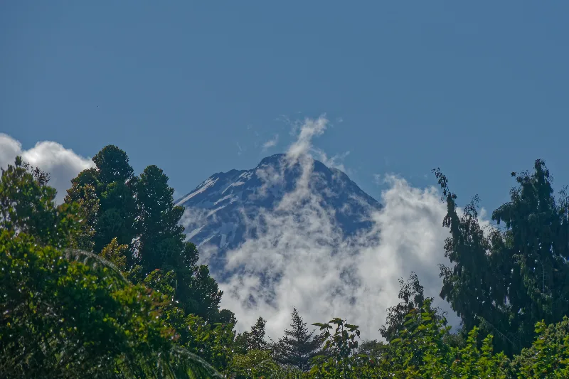
Mount Taranaki's summit, clear at last that evening.
SH3 is a nuisance between Stratford and New Plymouth — heavy traffic the whole way. Breakfast and internet at the library in Stratford first, then via Inglewood to Egmont Village, where the Egmont Road climbs to about 950 m — a visitor centre and camp house, showers and a kitchen, much like the huts elsewhere on the trip.
Walked the Veronica Loop that afternoon, then an early tea. Tomorrow, weather permitting, the climb up from here.
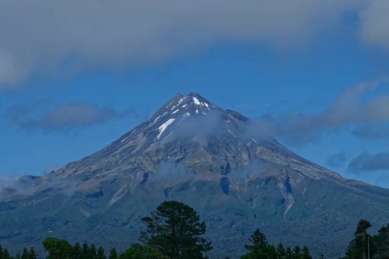
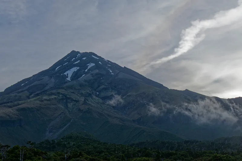
Mount Taranaki's near-perfect cone, clear in the morning light.
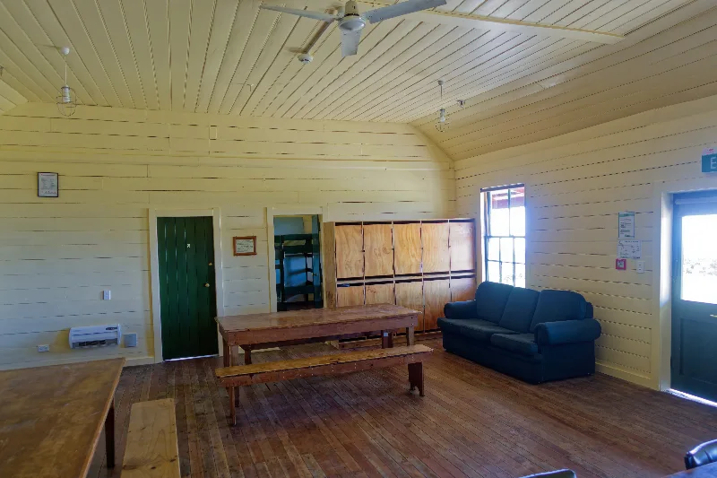
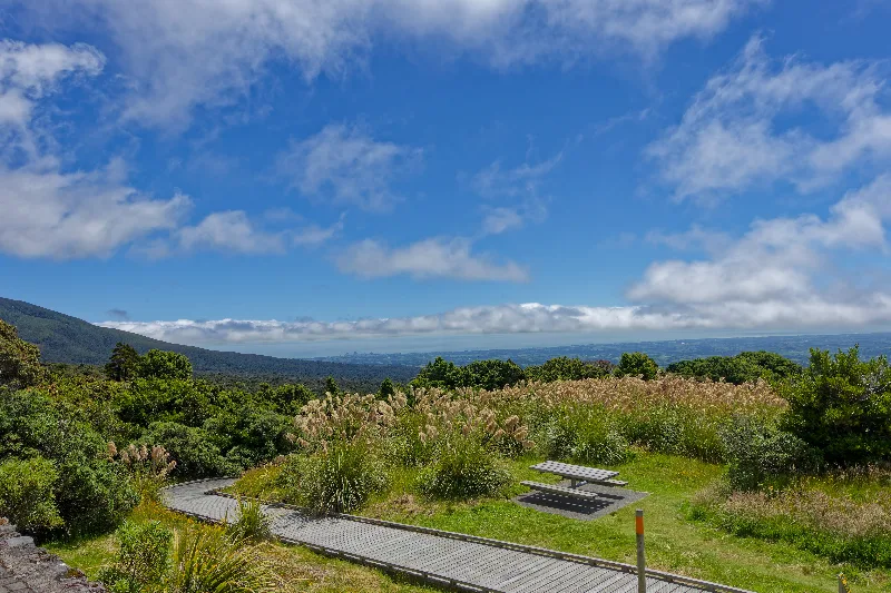
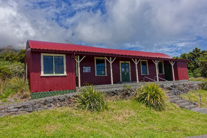
The historic red camp house at North Egmont, the night's stop before tomorrow's climb.
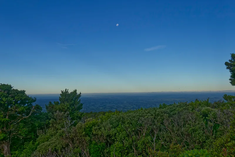
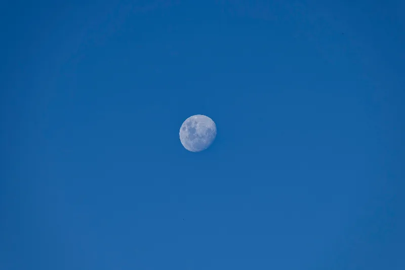
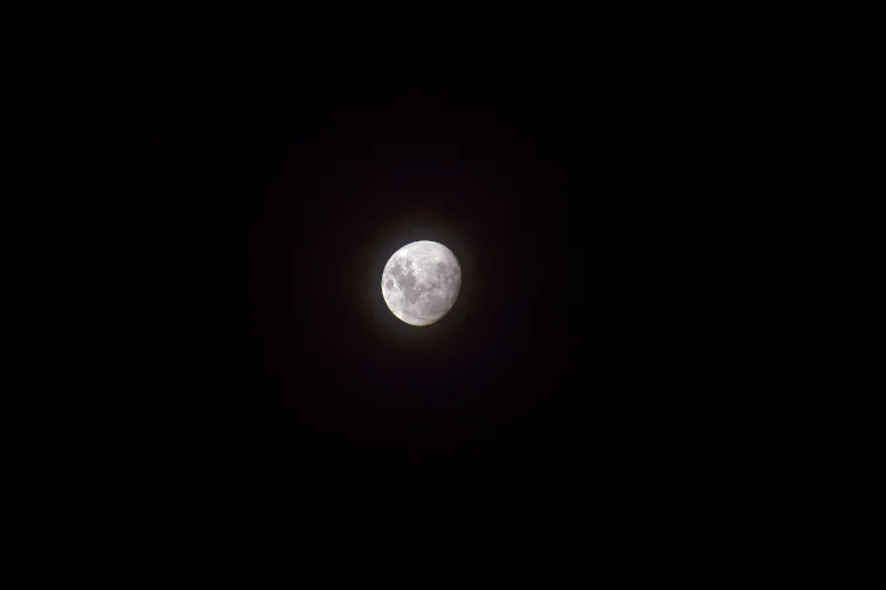
Moonrise over the coastal plain, seen from North Egmont as the light faded.
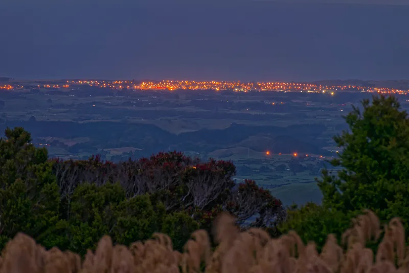
New Plymouth's lights below, after dark at North Egmont.
Mount Taranaki
Mount Taranaki (2,518 m) is a near-perfectly symmetrical stratovolcano standing alone on the Taranaki coast, its almost circular Egmont National Park boundary tracing a 9.6-km radius from the summit — a shape so regular it's often used as a stand-in for Mount Fuji in films. Dormant rather than extinct, it last erupted in the 1850s and is considered likely to erupt again within the coming centuries.
In Māori tradition, Taranaki was once one of the central North Island volcanoes alongside Tongariro, Ngāuruhoe and the female mountain Pihanga. When Tongariro won Pihanga's affections over a rival Taranaki, the defeated mountain tore his way west overnight, gouging out the course of the Whanganui River as he went, and has stood alone by the sea ever since — a story often told locally to explain both the mountain's isolation and the river's winding path.