Biking and Hiking New Zealand - Art Deco and Gannets
Up the Rimutaka Incline — an old railway line converted to a cycle trail — as an alternative to the busy main road down to Featherston. On through the vineyards of Martinborough, then small roads to Masterton for shopping and to withdraw some cash.
Route 52 from there. A basic domain campsite that night, more spartan than the usual DOC sites — water only at the toilet block, no shelter, so dinner cooked by the tent instead: quinoa and couscous with tuna, olive oil and fresh tomatoes.
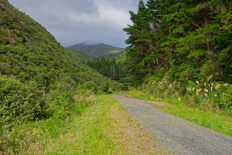
The Rimutaka Incline trail itself, an old railway formation now surfaced for cycling.
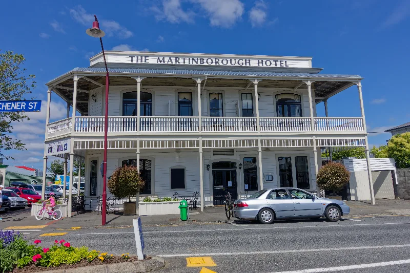
The Martinborough Hotel, on the corner of the town's main street.
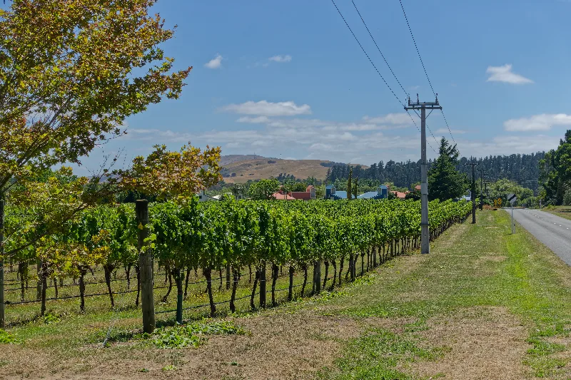
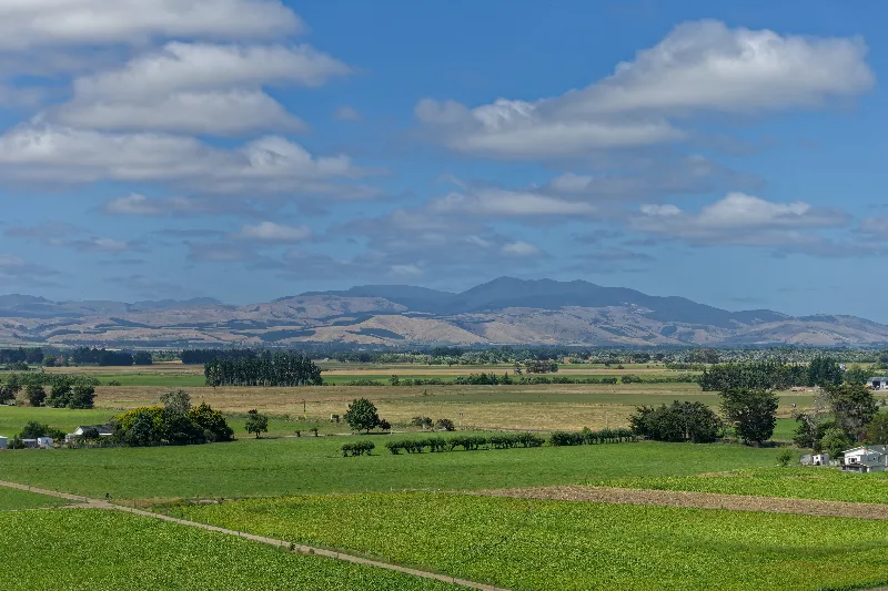
Vineyards on the outskirts of Martinborough, the district's namesake wine region.
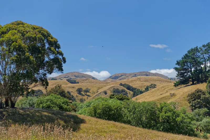
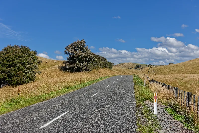
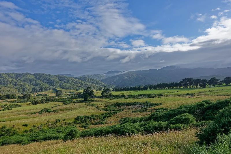
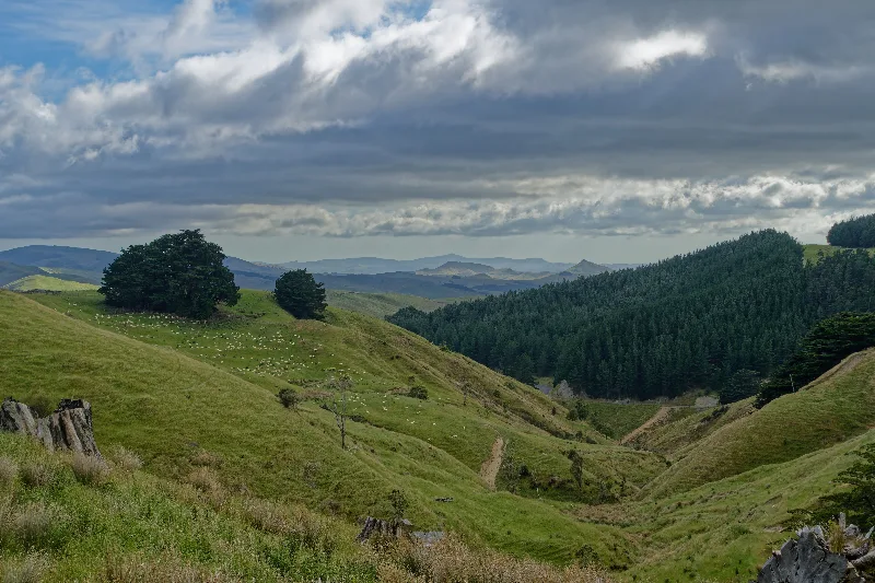
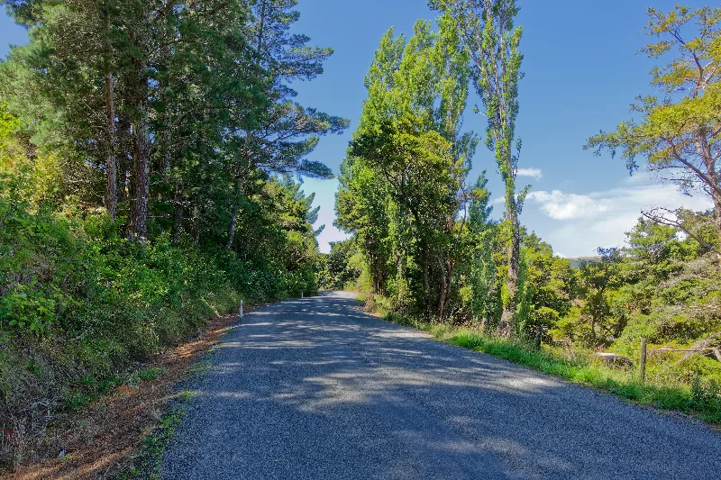
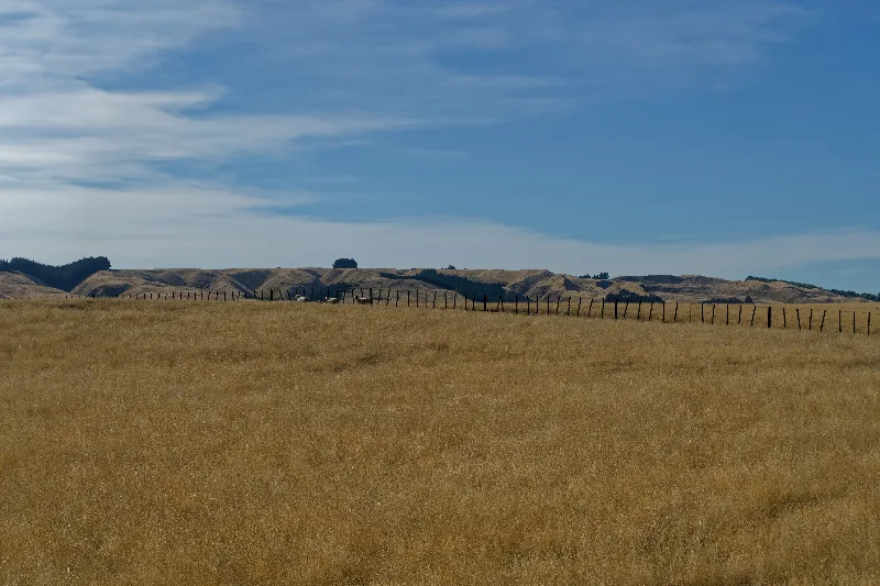
Route 52, rolling through dry summer hill country toward Waipukurau.
The Rimutaka Incline
The Rimutaka Incline was part of the original railway line linking Wellington to the Wairarapa, opened in 1878 to haul trains over the steep Remutaka Range. The central section was so steep that ordinary locomotives couldn't manage it — specialised Fell engines, gripping a raised centre rail with horizontal wheels as well as the usual ones, were built specifically for this one stretch of track.
The incline closed in 1955 once the Remutaka Tunnel opened lower down, replacing it with a far easier route. The old formation was progressively converted into a walking and cycling trail, gentle by road standards since it was built for trains, and today offers a quiet, largely traffic-free alternative to the main road over the range into the Wairarapa.
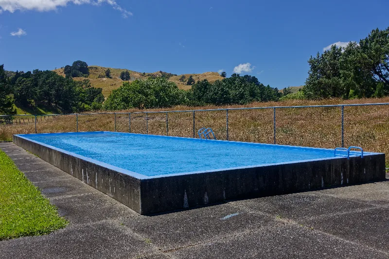
Route 52 on through Alfredton, Pongaroa and Wimbledon to Waipukurau, in some of the hottest weather of the trip so far. A nice surprise near Wimbledon: a roadside swimming pool with an honesty box asking 50 cents for a swim — impossible to resist in that heat. Met a German family cycling the same road, with an eighteen-year-old son along for the ride.
Laundry day, much needed by this point. Lamb in the pan for dinner, and a good evening in Wimbledon — a drink at the hotel bar with a couple of elderly regulars, both well into their eighties.
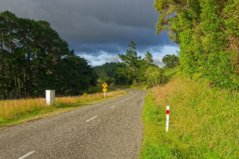
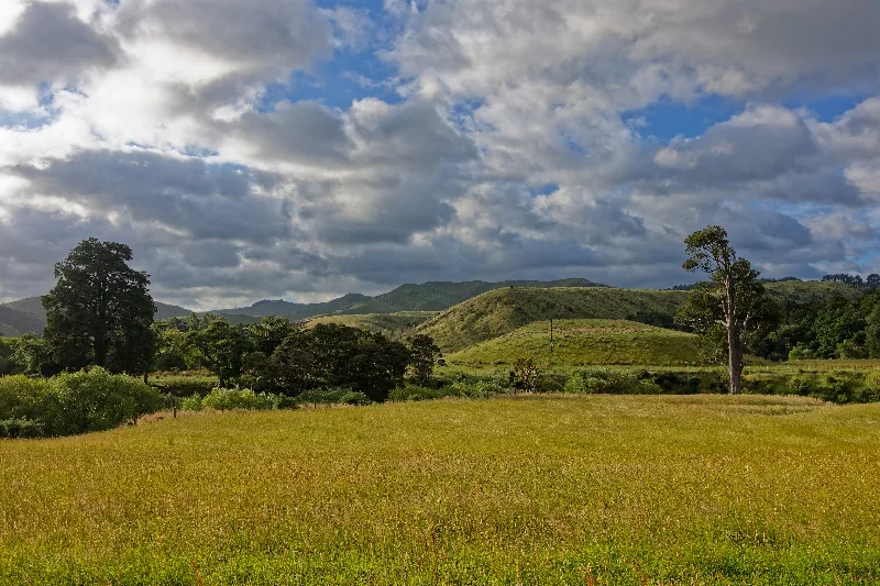
An early start under a heavy sky, well before the day's heat set in.
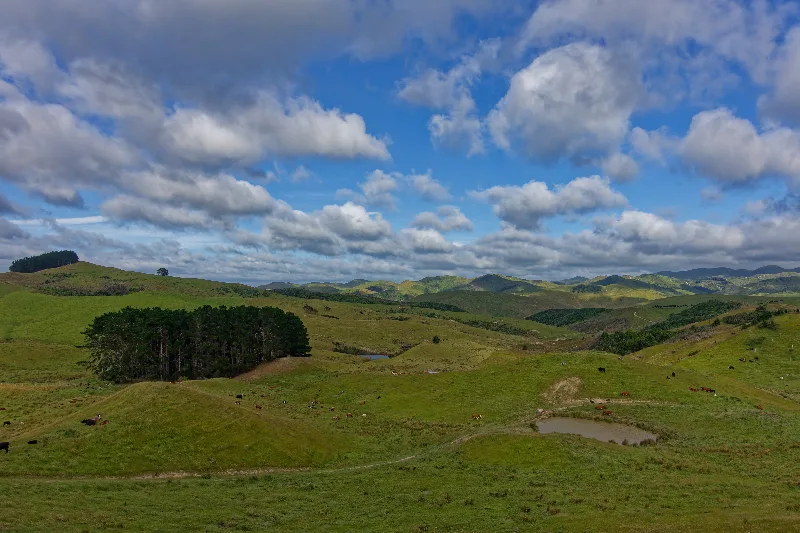
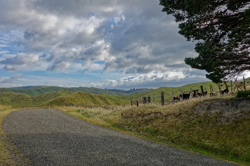
Cattle at the fence line along Route 52, dry hill country beyond.
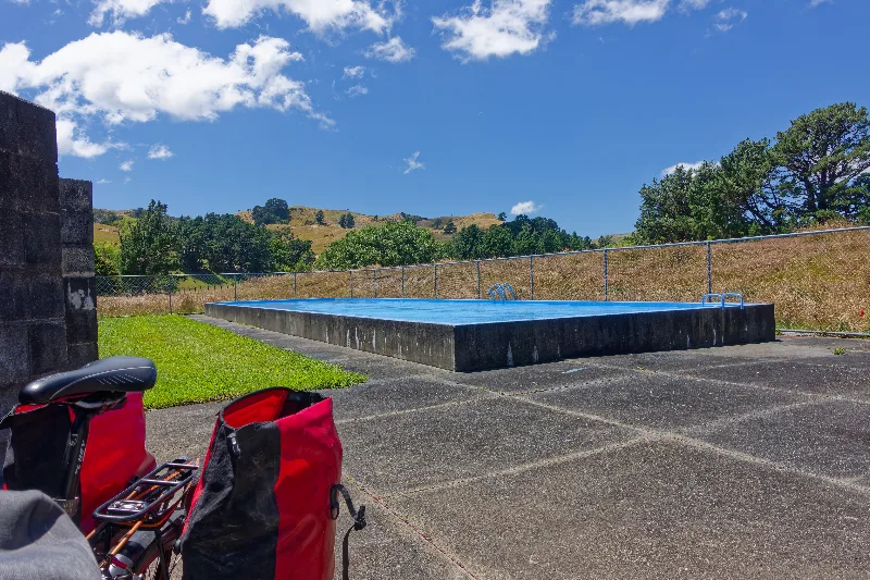
The honesty-box swimming pool near Wimbledon — 50 cents for a swim, impossible to pass up in the heat.
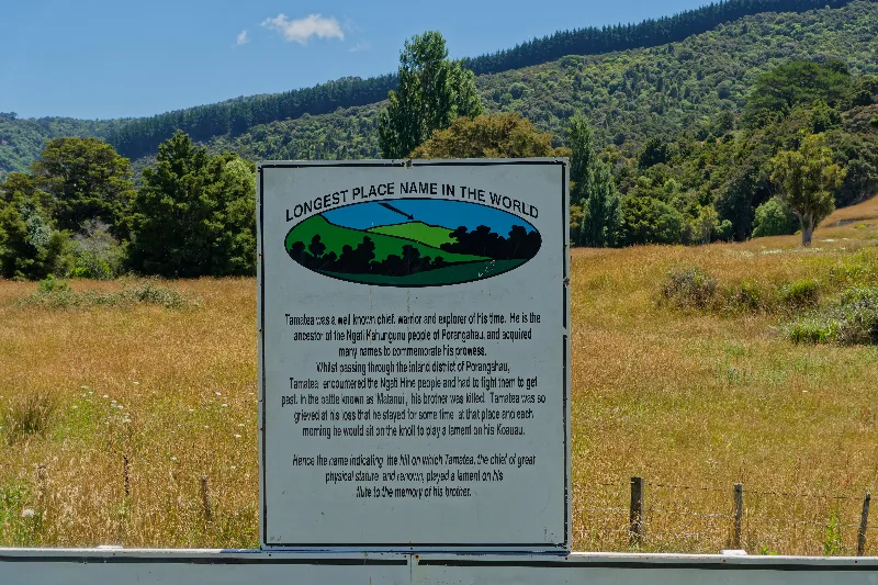
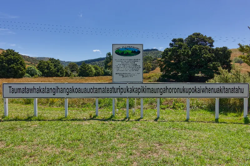
Taumatawhakatangihangakoauauotamateaturipukakapikimaungahoronukupokaiwhenuakitanatahu — the full 85-letter name, signposted in full by the road.
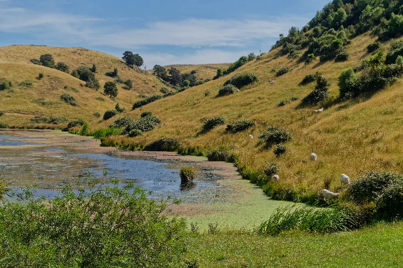
A duckweed-covered pond near Waipukurau, sheep grazing the bank above.
A short day, after breakfast with eggs, toast and ham. To the campsite before midday, no trouble finding a site. Low tide wasn't until 17:45, so with time in hand I set off early, at 13:15, well ahead of it.
That meant a few stretches of scrambling over rocks and wet feet on the way out to Cape Kidnappers, but the 8 km walk to the gannet colony was mine alone for most of it. On the way back, close to 150 people had arrived by various kinds of transport — only around 15 of them on foot like me. Took the inland route back instead of retracing the beach: a bit hillier, but quicker without the rock-scrambling. Superb weather throughout.
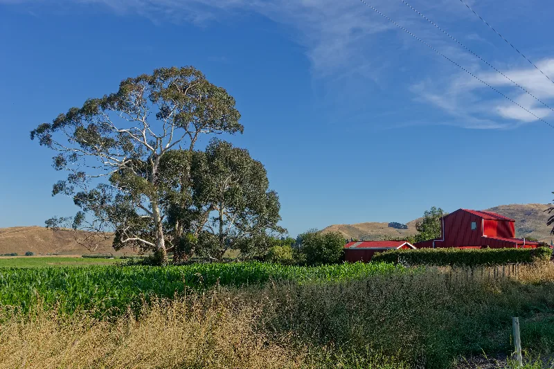
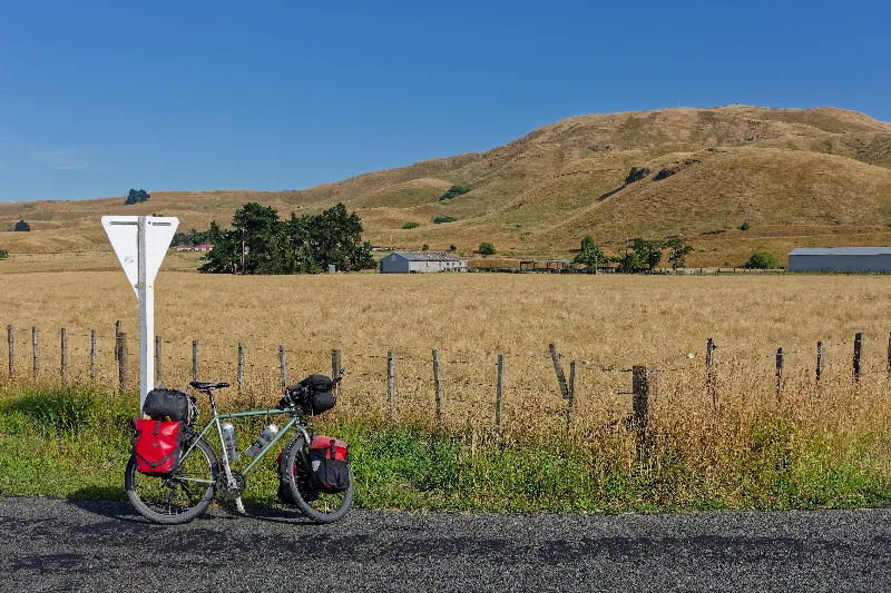
The loaded bike parked roadside before the short ride to the Cape Kidnappers trailhead.
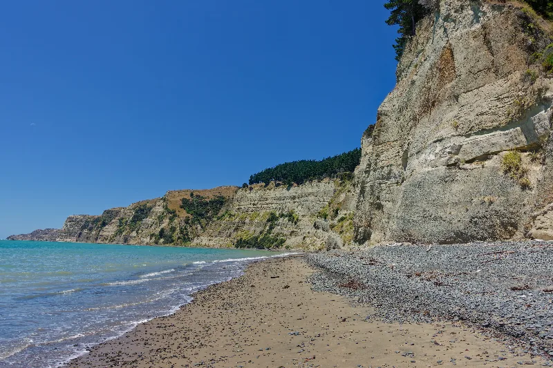
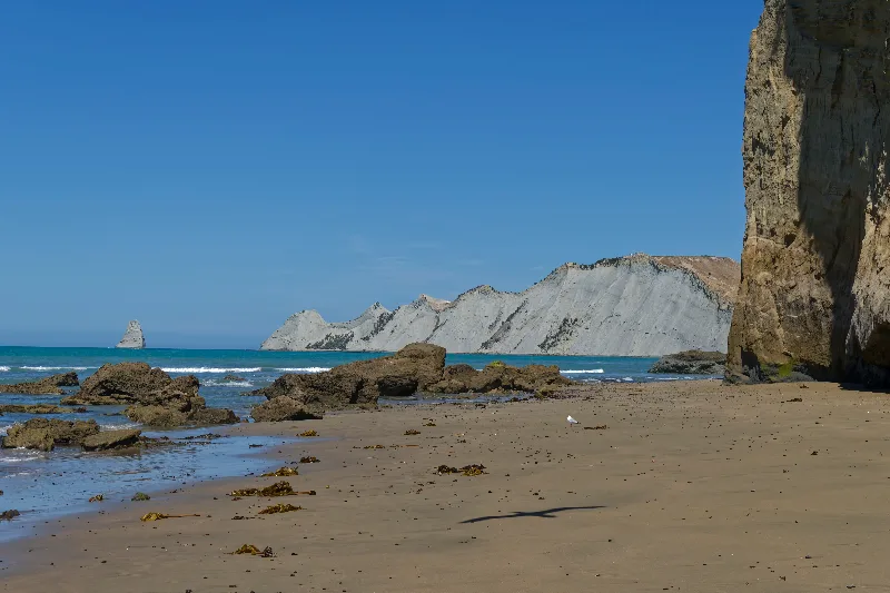
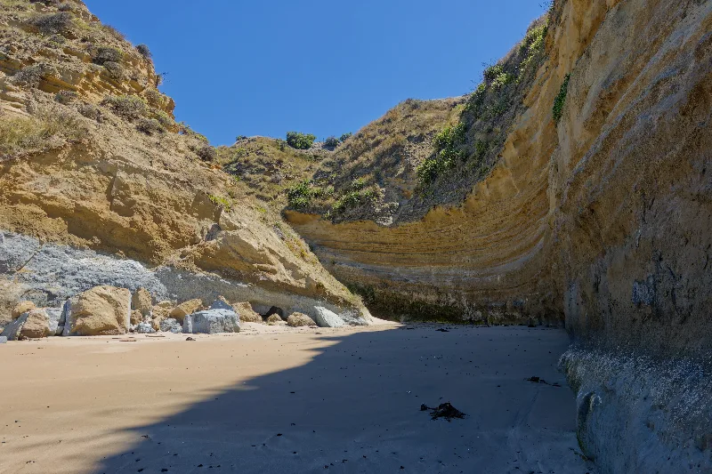
The beach walk out to Cape Kidnappers, cliffs crowding the shoreline — passable only within a few hours of low tide.
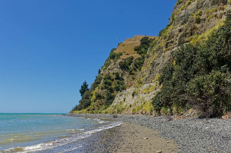
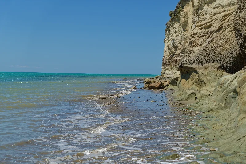
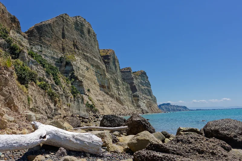
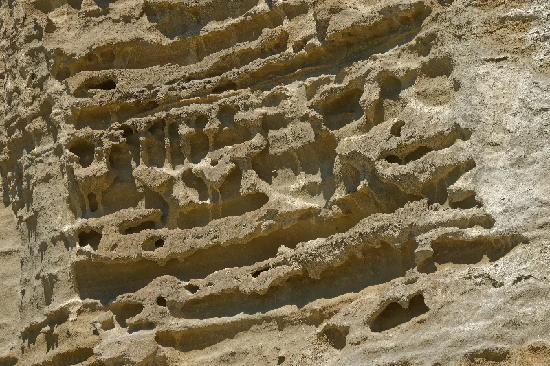
Layered sandstone cliffs and boulders on the approach, the cape itself visible in the distance.
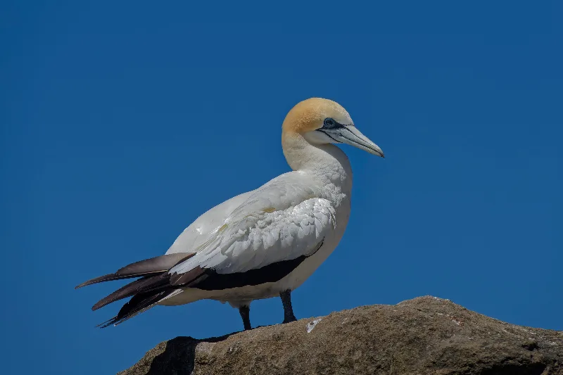
An Australasian gannet on its nesting rock, the colony's characteristic yellow head and blue-rimmed eye on display.
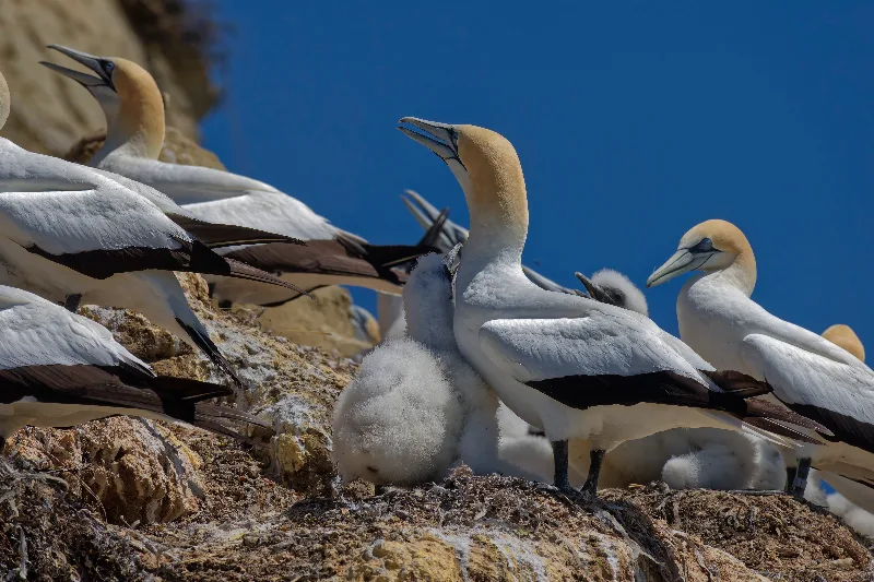
A gannet chick among the crowded colony, adults calling overhead.
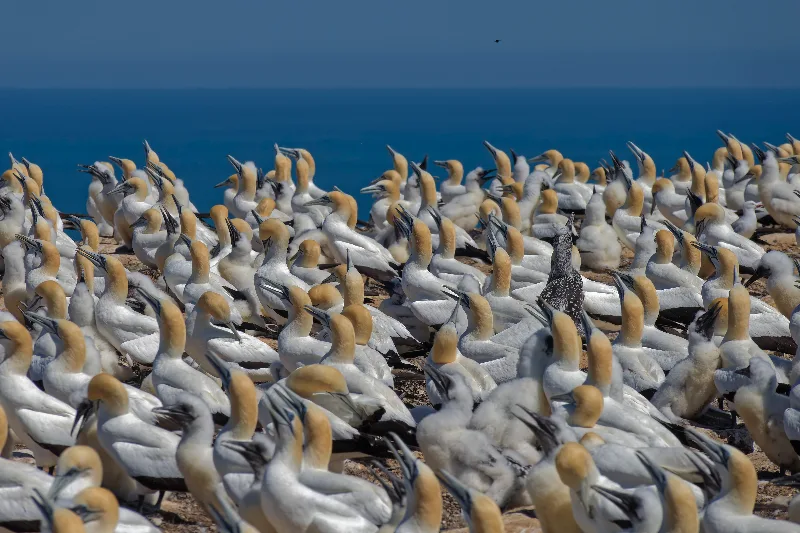
Part of the colony at full density — several thousand birds nest on these clifftops each breeding season.
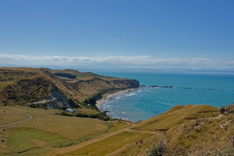
Looking back over the colony and the beach route from higher ground, on the inland track back.
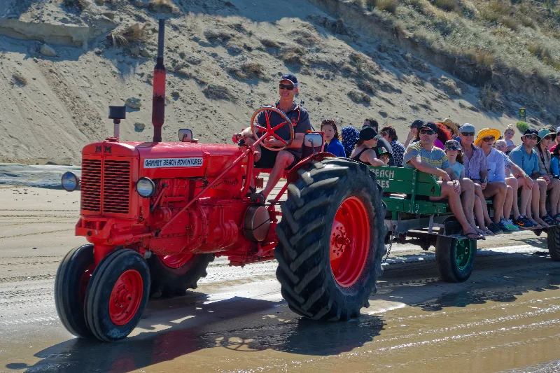
One of the tractor-and-trailer tours that bring most of Cape Kidnappers' visitors out along the beach.
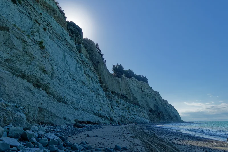
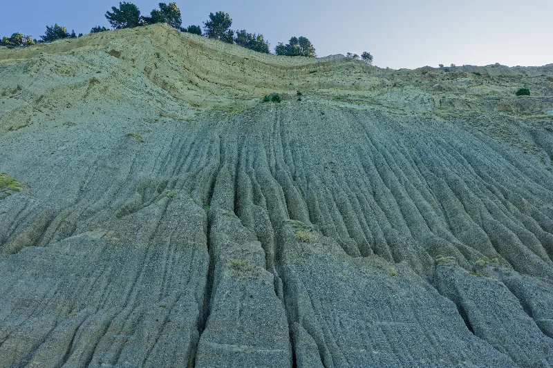
Cape Kidnappers
Cape Kidnappers takes its unusual name from Captain Cook, who anchored offshore in 1769 when local Māori attempted to take a Tahitian boy from his crew — a kidnapping that failed, but left its name on the headland. Today the cape is known for something else entirely: one of the largest, most accessible mainland gannet colonies in the world, with several thousand Australasian gannets nesting on the exposed clifftops each breeding season, roughly October to March.
The colony can be reached on foot along the beach from Clifton, a walk of around 8 km each way that is entirely tide-dependent — much of the route is only passable within a few hours either side of low tide, with cliffs blocking the way once the sea comes in. Tour operators also run tractor-drawn trailers and 4WD trips along the same beach for visitors who'd rather not time it themselves, which accounts for most of the crowd on any given day.
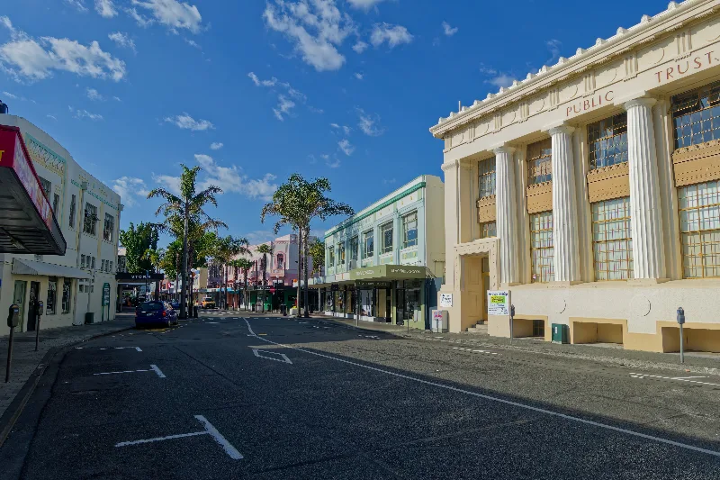
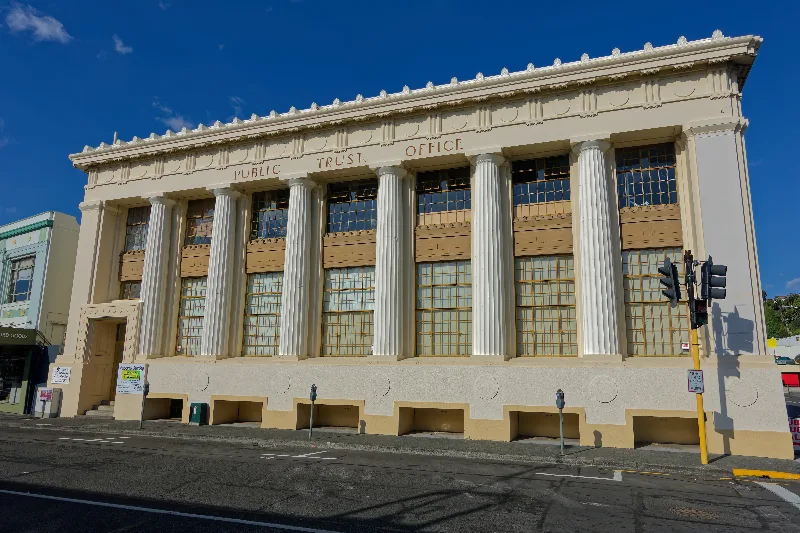
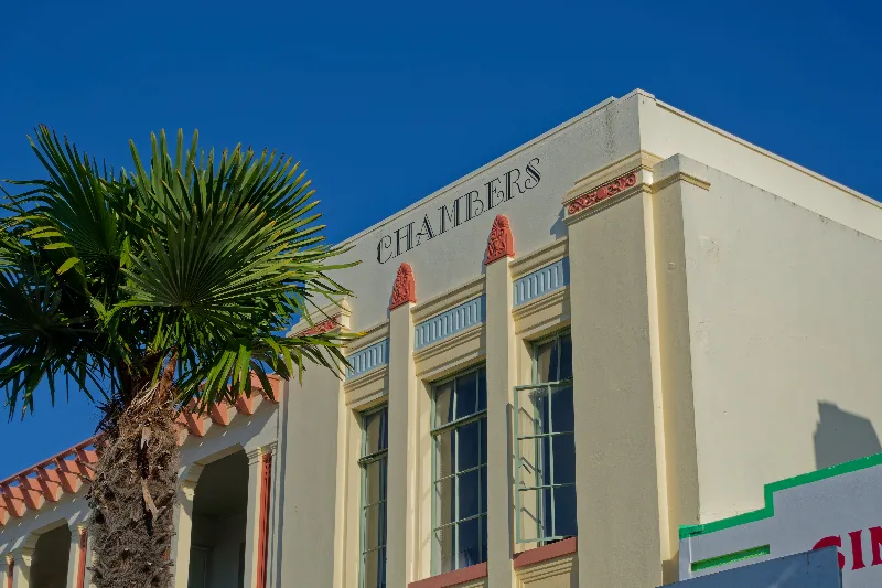
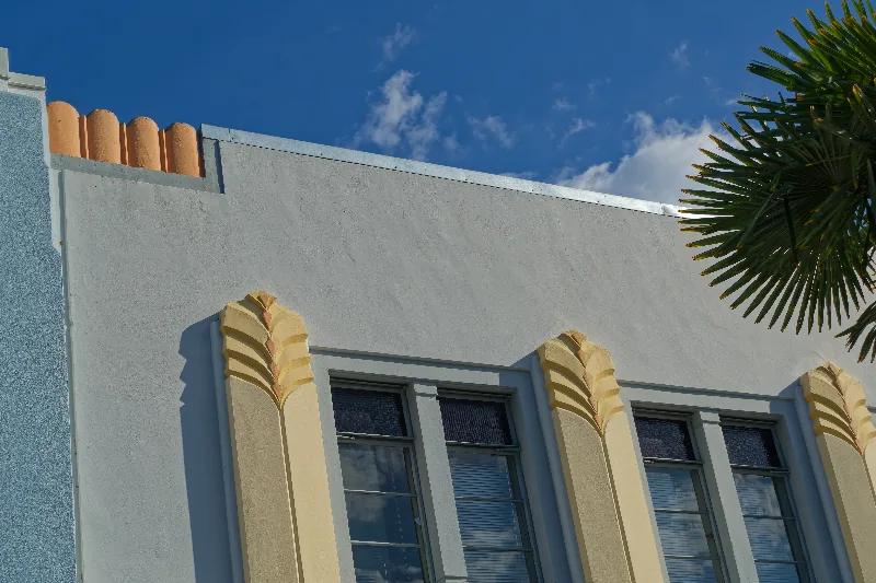
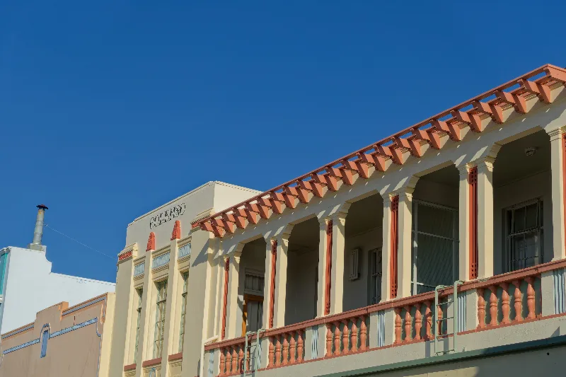
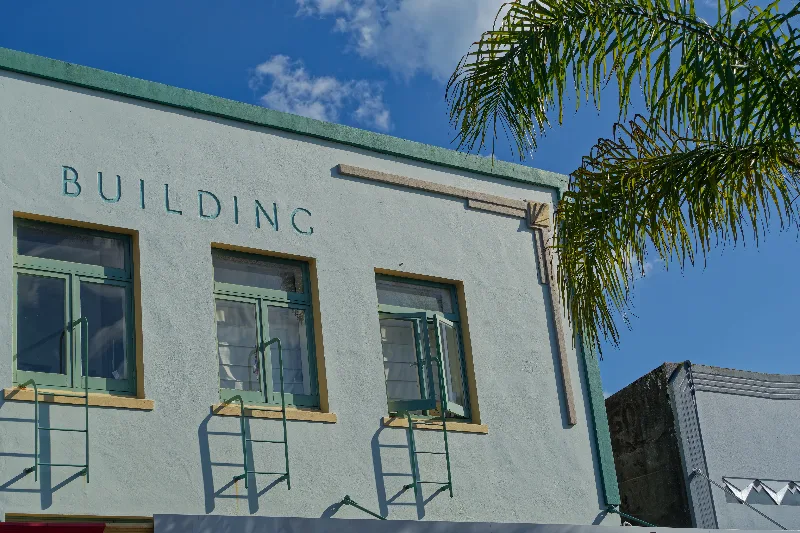
On the bike toward Napier by about 7:15, and a look around the city on arrival — its Art Deco streets rebuilt after the earthquake that flattened the city in 1931, looking their best in the morning sunshine.
Then out of town onto the old Napier–Taihape Road, hilly and little-trafficked, heading inland toward the central plateau and Ohakune. A Department of Conservation campsite for the night.
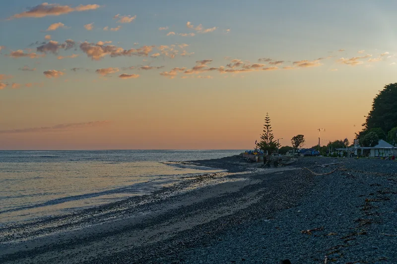
Sunrise over the beach at Clifton, before setting off for Napier.
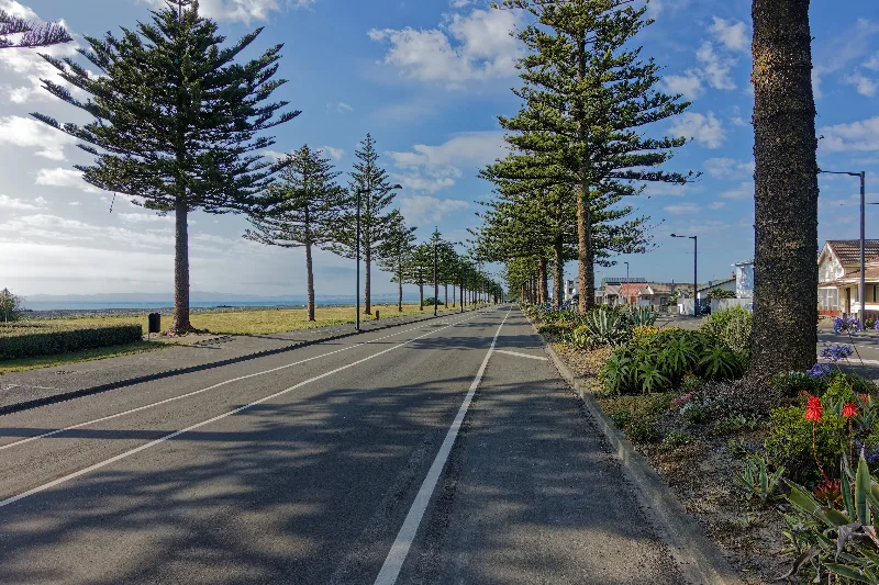
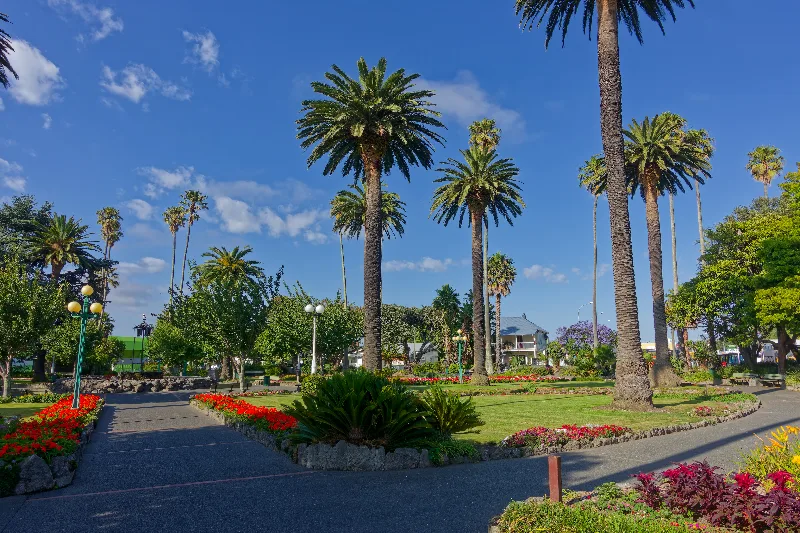
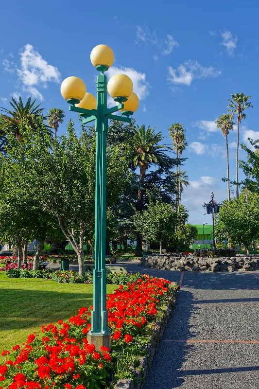
Marine Parade, its long avenue of Norfolk pines a Napier landmark in its own right.

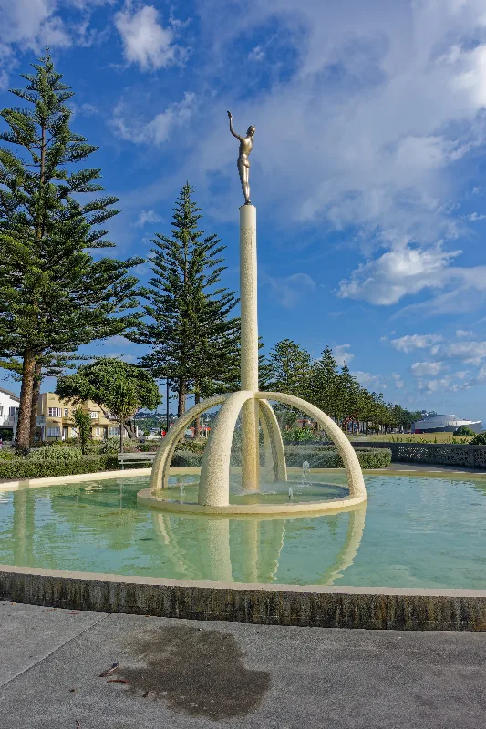
The Spirit of Napier statue, part of the Tom Parker Fountain on Marine Parade.
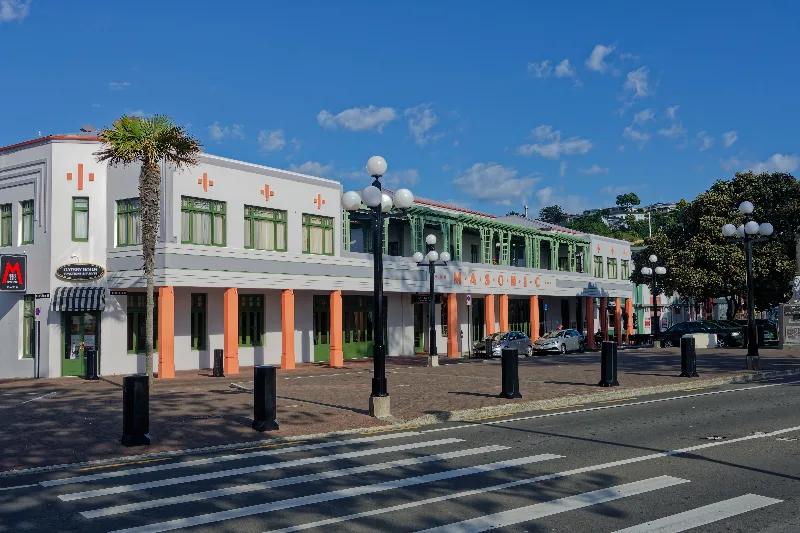
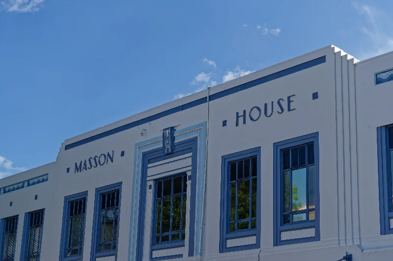
The Masonic Hotel, one of the city's best-known Art Deco buildings.

A 1933 date proudly displayed — construction here moved fast in the two years after the earthquake.
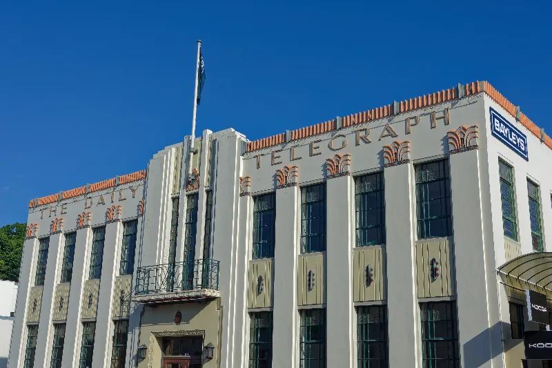
The Daily Telegraph Building, with some of the most elaborate Art Deco detailing in the city.
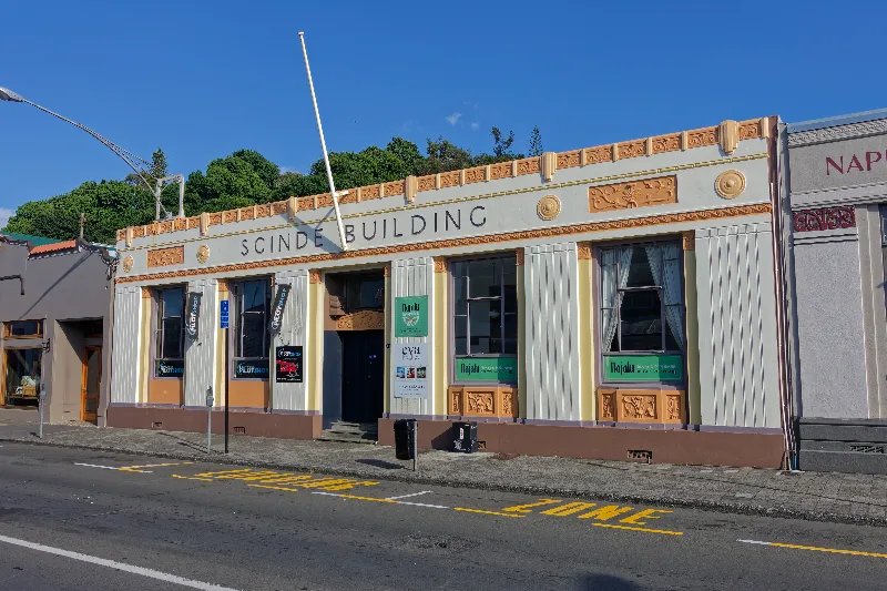
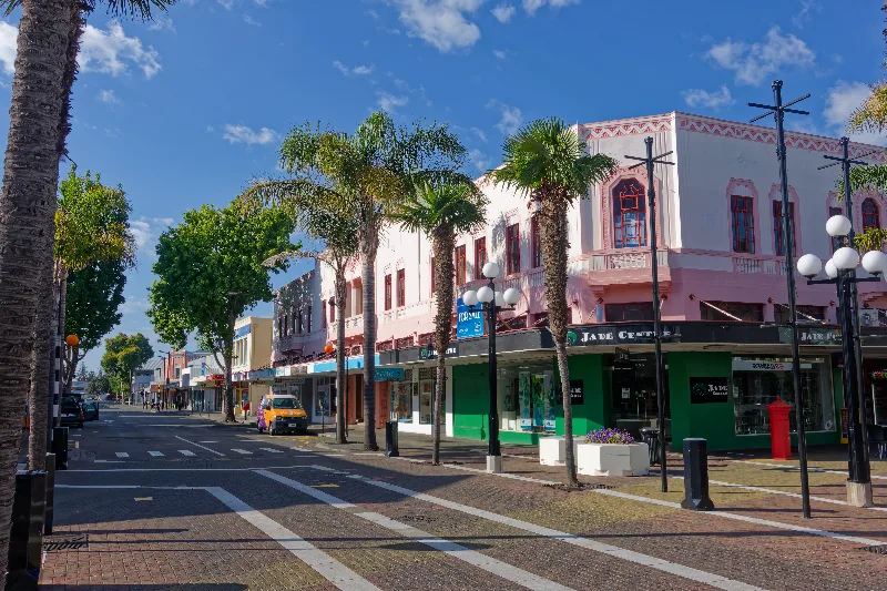
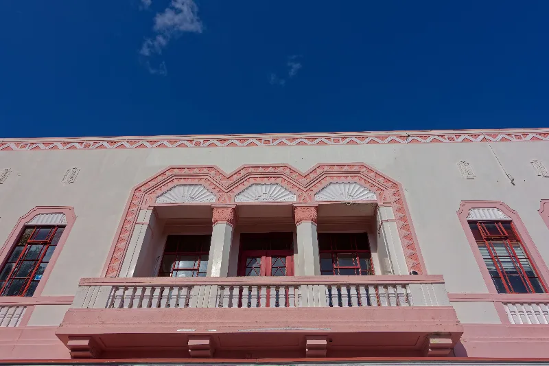
One of Napier's Spanish Mission-style buildings, in the pastel pink typical of the era's rebuild.

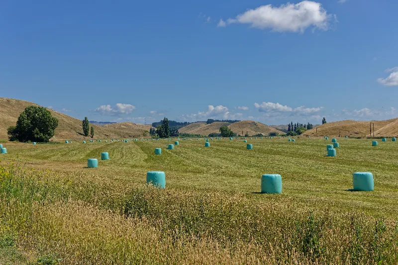
Wrapped silage bales dotting a paddock on the Napier–Taihape Road.
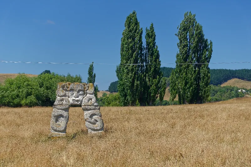
A carved stone gateway figure standing alone in a roadside paddock.
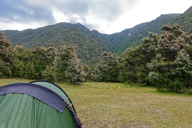
Tent pitched at the Department of Conservation campsite that evening, mountains closing in around the clearing.
Napier and the 1931 Earthquake
On 3 February 1931, a magnitude 7.8 earthquake struck Hawke's Bay, killing 256 people and destroying much of Napier and neighbouring Hastings — New Zealand's deadliest natural disaster. Fires that broke out in the ruins finished off many of the buildings that had survived the shaking itself, and the quake also lifted parts of the harbour floor clear of the water, adding several square kilometres of new land to the town.
Rebuilt at speed over the following two years, Napier's city centre went up almost entirely in the architectural styles fashionable at the time — Art Deco and Spanish Mission, with geometric motifs, stepped facades and bold pastel colours. The result, largely preserved rather than redeveloped in the decades since, is one of the most complete and concentrated collections of 1930s Art Deco architecture anywhere in the world, and the centrepiece of the city's tourism today.