Biking and Hiking New Zealand - Holyford Track, Milford Sound
The weather held for most of the day; only in the afternoon, around 16:00, did the rain set in heavily again — by then I was already back at Gunn's Camp.
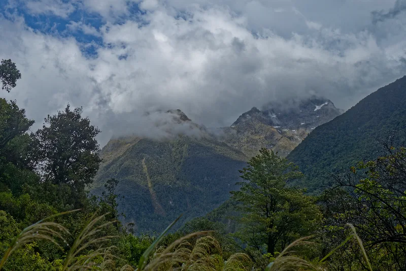
I cycled to the end of the road, about 9 km, then walked roughly the same distance on the Hollyford Track to Hidden Falls and on to Humboldt Falls. A short break at each, reading about the old route and its cattle-mustering history along the way. Two and a half hours one way, and hardly anyone else out there.
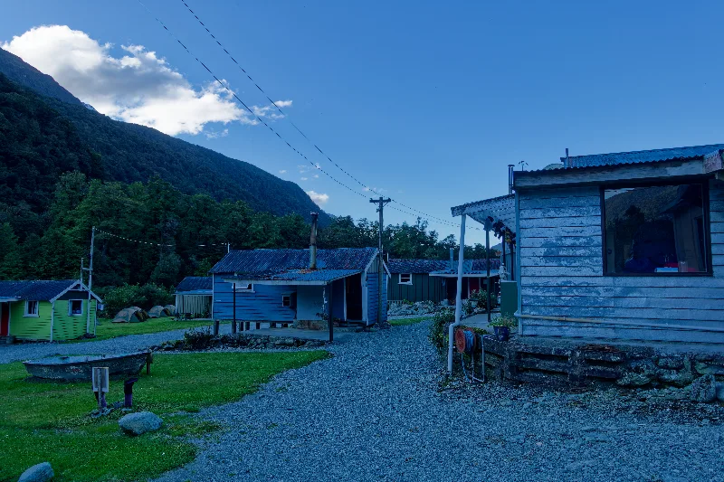
Back to camp by bike, then a shower — the water heated over a wood fire — and time to warm up in the kitchen.
Murray, who died in 2014, seems to have been quite a joker: there are puns and jokes scattered all around the camp, and a small museum as well.
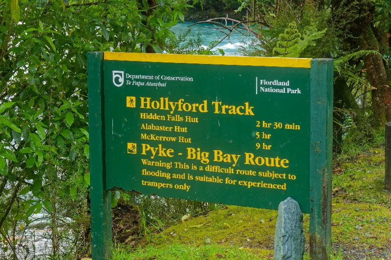
The Department of Conservation signpost at the start of the Hollyford Track — Hidden Falls Hut two and a half hours away, the exposed Pyke–Big Bay route beyond that reserved for experienced trampers only.
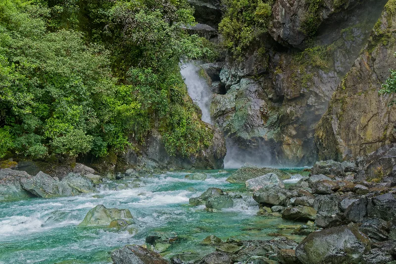
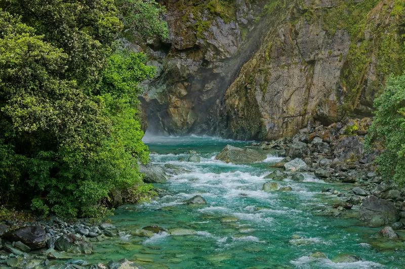
Hidden Falls, tucked into its own narrow gorge just off the track — smaller than Humboldt Falls, but no less striking close up.
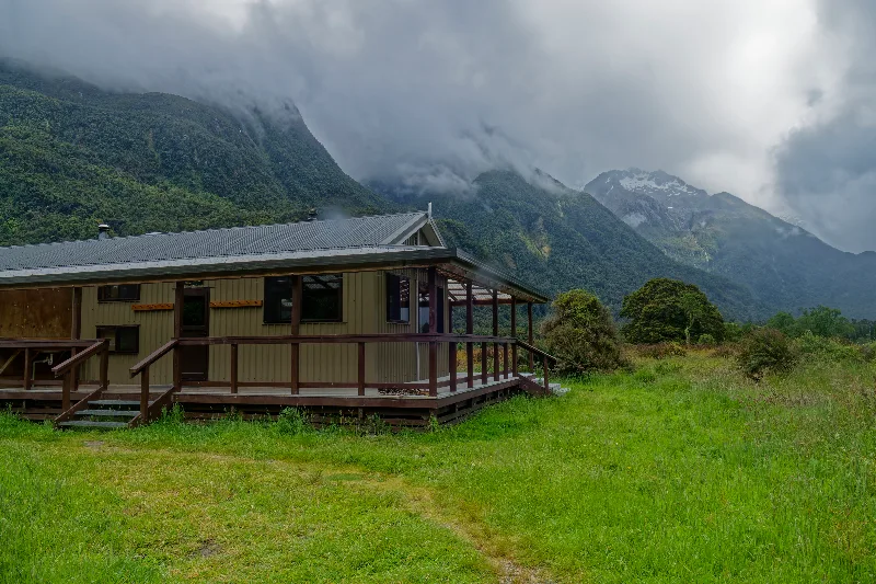
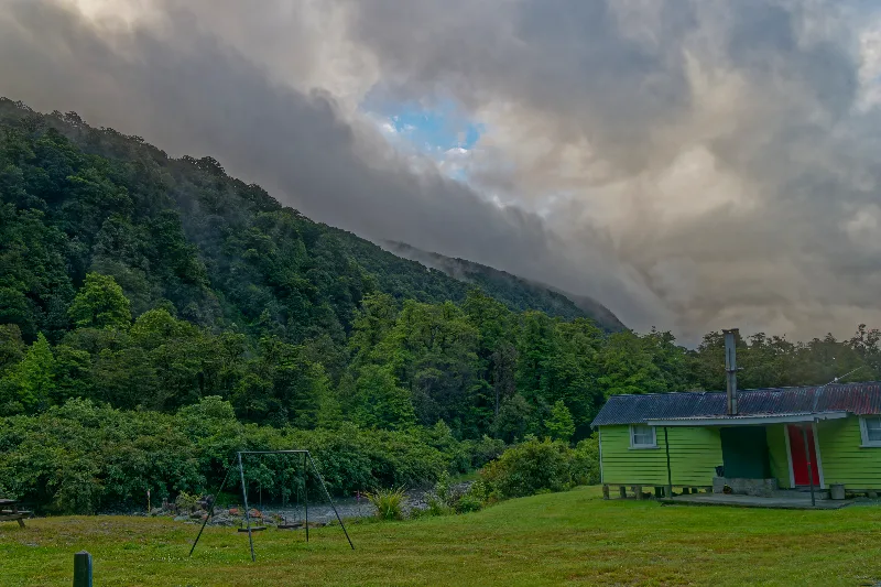
Hidden Falls Hut, reached about two and a half hours in — one of several huts strung along the Hollyford Track.
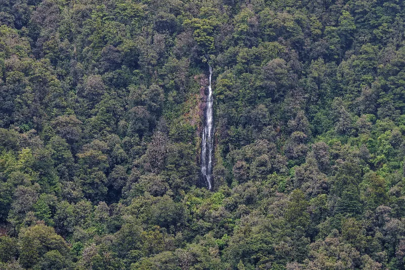
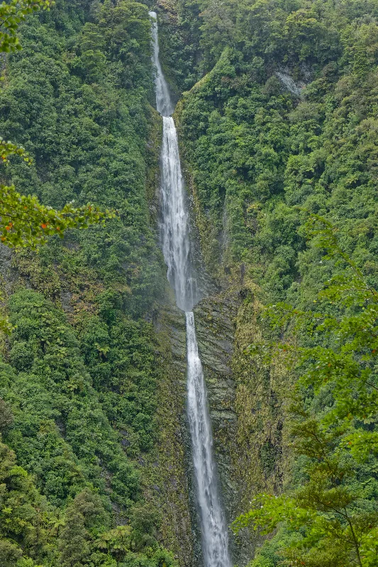
Humboldt Falls, dropping in several tiers down the Darran Mountains — one of the taller waterfalls reached on foot anywhere in New Zealand.
Hidden Falls and Humboldt Falls
Hidden Falls and Humboldt Falls are two of the waterfalls reached from the Hollyford Road near Gunn's Camp, both fed by streams dropping off the Darran Mountains into the Hollyford Valley. They sit along the northern end of the Hollyford Track, one of New Zealand's longer and more remote multi-day tramps, which continues far beyond this point to Martins Bay on the wild west coast.
Humboldt Falls is the better known of the two, tumbling in several tiers down a total drop of well over 200 metres — one of the taller waterfalls easily reached on foot in New Zealand. Hidden Falls, closer to the road, is smaller but no less striking, set in dense podocarp and beech forest that keeps both falls shaded and mossy even in bright weather.
The surrounding valley floor was also part of an old cattle route, used long before it became a walking track, when musterers drove stock through the Hollyford on their way between coastal runs — a history the interpretive signs along the track still point out today.
Sunshine at last, and a trip up over the Milford Road to Milford Sound — a fjord, as it turns out, is carved by a glacier and not a river.
The Homer Tunnel is dimly lit these days, and the road down the far side has more than its share of potholes, including one large one right on the descent. It took about two and a half hours each way, with plenty of traffic — most tour buses head out for the 1 p.m. sailings, and there are a lot of them.
I took a boat in the morning instead, well ahead of the bulk of the crowds. At 10:30 I joined a Southern Discoveries cruise out into the fjord, which included a stop at the underwater observatory — the most interesting part of the day. A layer of tannin-stained fresh water floats on top of the salt water here, dense enough to block out most of the light, and that lets corals and other creatures usually found only in the deep sea live just a few metres below the surface.
Pizza afterwards at the Blue Duck. Altogether, between the cruise, the observatory and lunch, $120 gone in a single day — real money for once, though staying at the camp otherwise keeps costs down since there is nothing much to spend money on there. About 80 km covered today in four and a half hours, and busy again on the way back, since all the cars, coaches and campervans leave in the afternoon too.
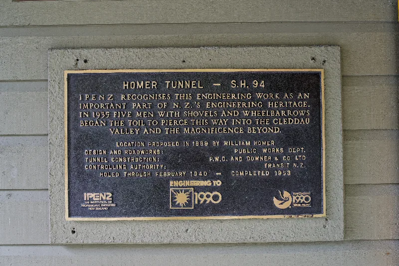
The Homer Tunnel plaque — begun by hand with shovels and wheelbarrows in 1935, holed through in 1940, and finally completed in 1953.
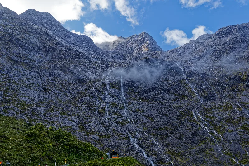
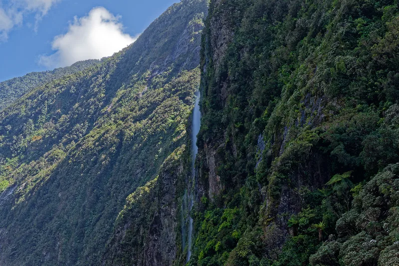
Dozens of temporary waterfalls streaking down the cliffs above the road on the Milford side of the tunnel, all fed by the previous days' rain.
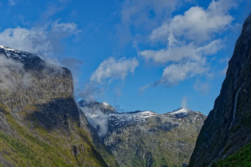
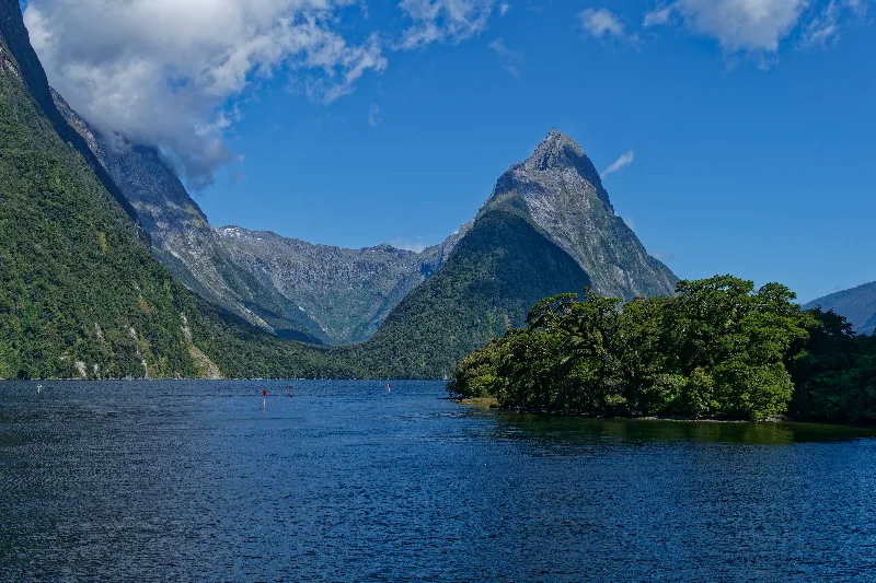
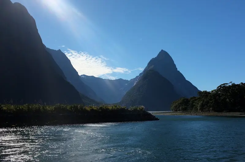
Mitre Peak, rising straight out of the fjord — the view Milford Sound is known for.
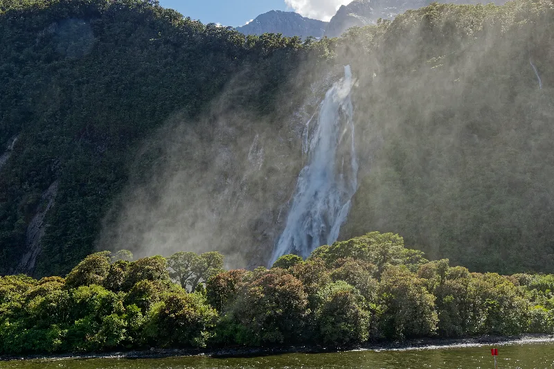
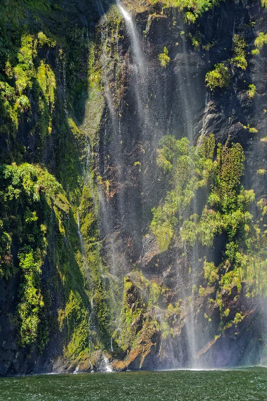
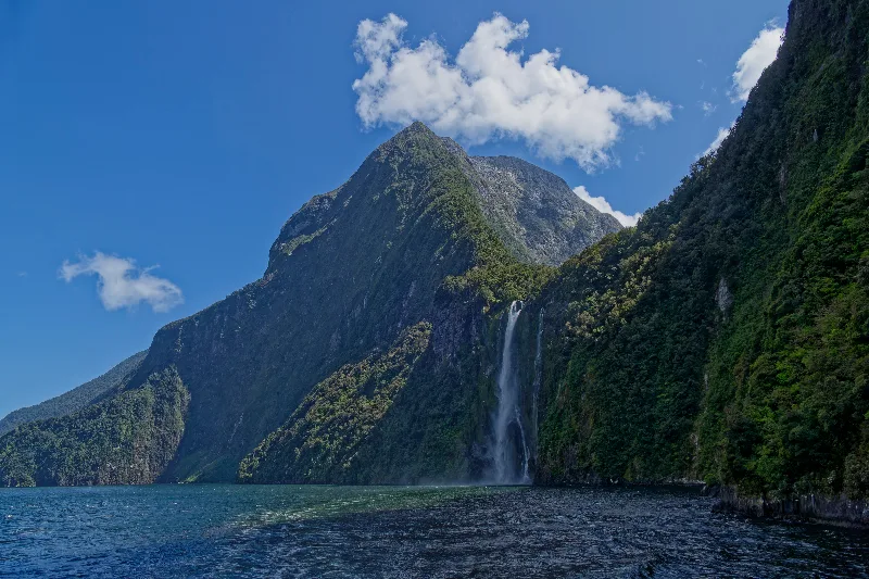
One of the fjord's permanent waterfalls dropping straight to the waterline, mist drifting out over the boat.
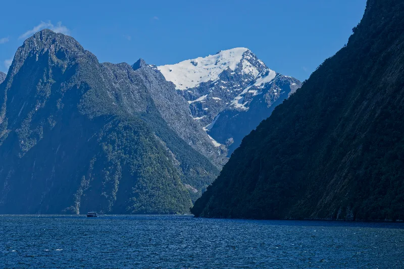
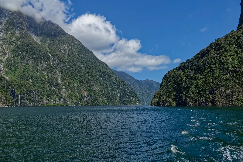
A snow-capped peak further into the fjord, with the cruise boat ahead for scale.
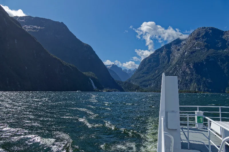
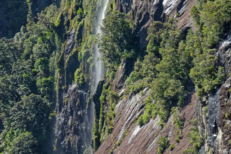
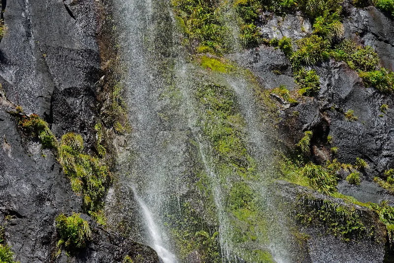

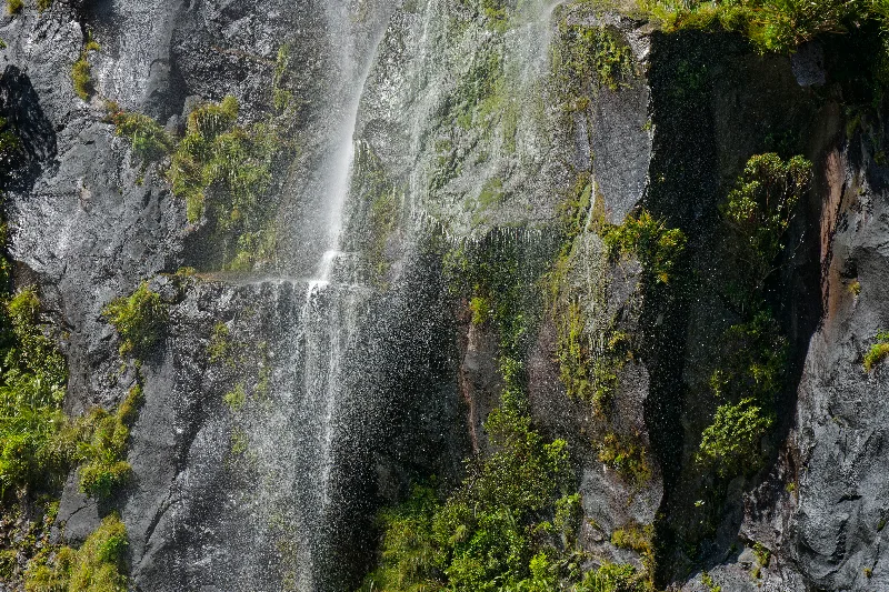
Close enough to one of the falls to be in the spray — a regular stop on the cruise.
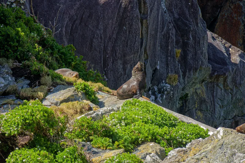
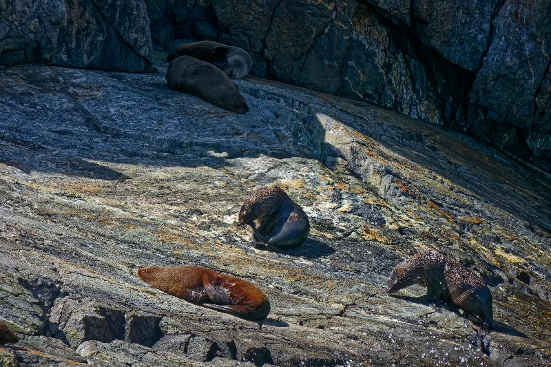
A New Zealand fur seal keeping watch from the rocks along the fjord.
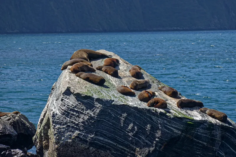
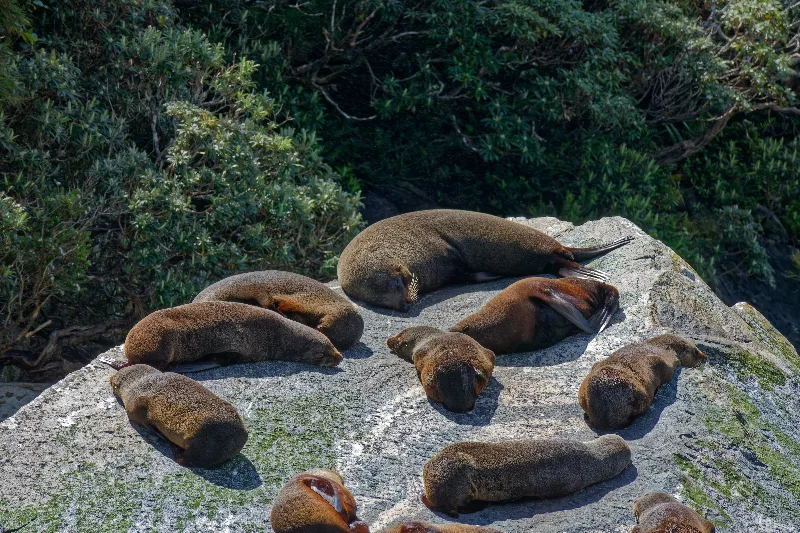
A whole colony hauled out on a rock pyramid mid-fjord — well over a dozen seals sunning themselves.
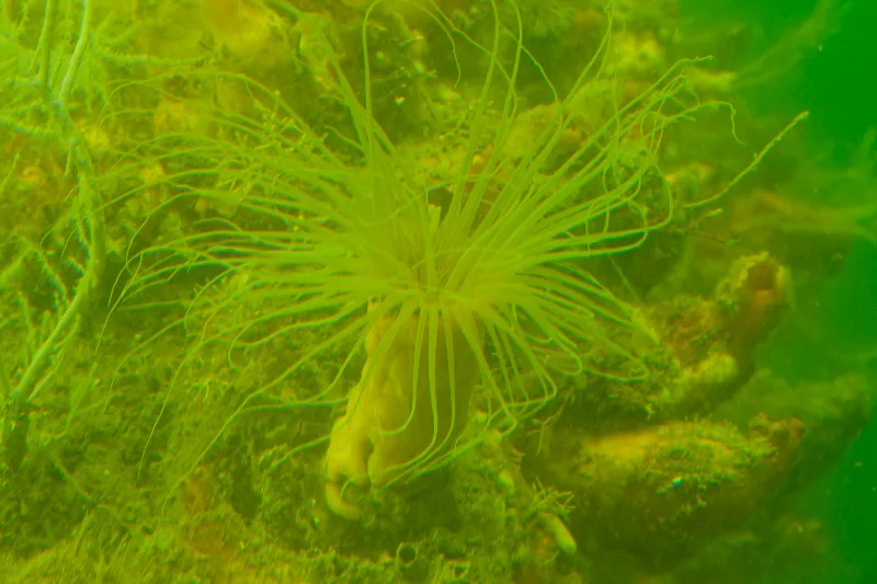
A sea anemone through the underwater observatory window — the kind of deep-sea life the dark fresh-water layer lets grow just metres down.
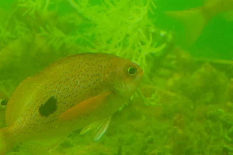
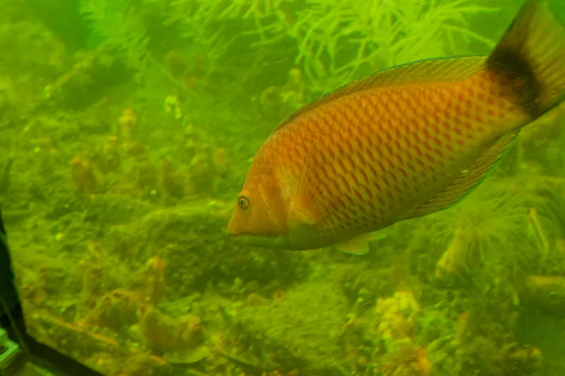
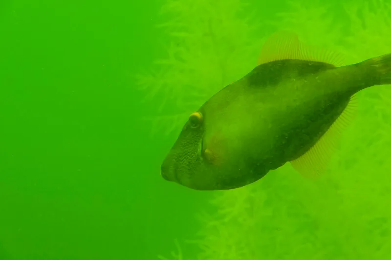
One of the fish living around the observatory, close enough to the glass to fill the frame.
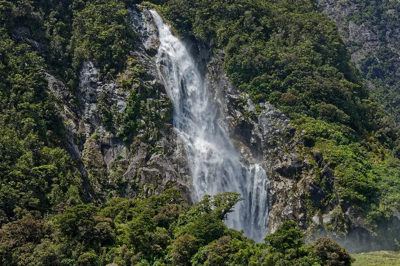
Lady Bowen Falls, the fjord's largest permanent waterfall, in full flow after the recent rain.
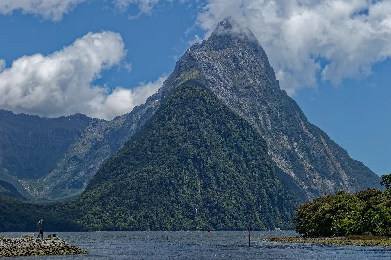
Mitre Peak again from near the wharf, on the way back to the car park.
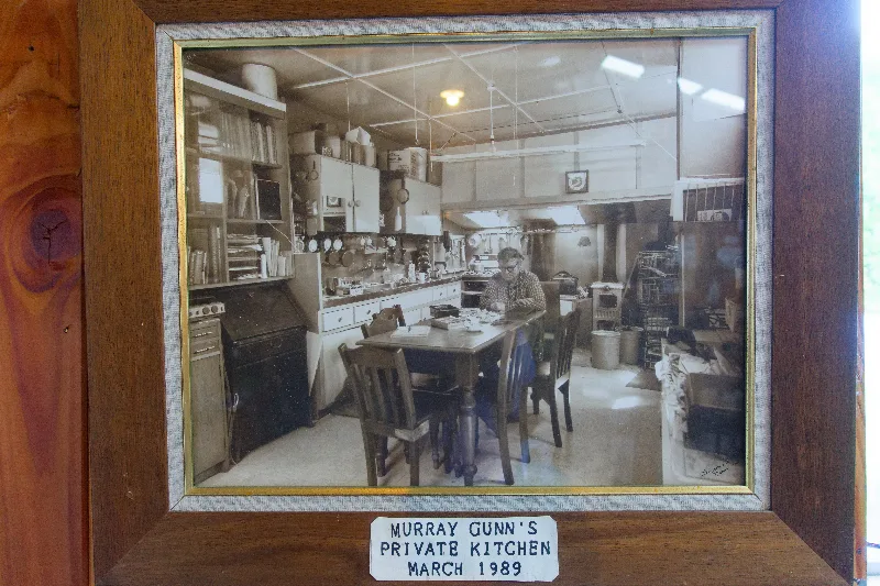
A framed photo in the camp museum: "Murray Gunn's Private Kitchen, March 1989."
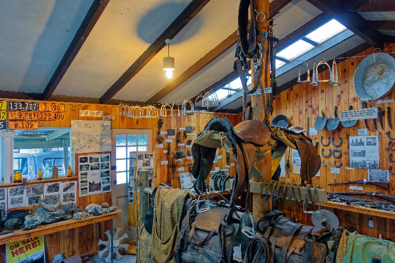
Inside the museum — old saddles, tack and tools collected from decades of life in the valley.
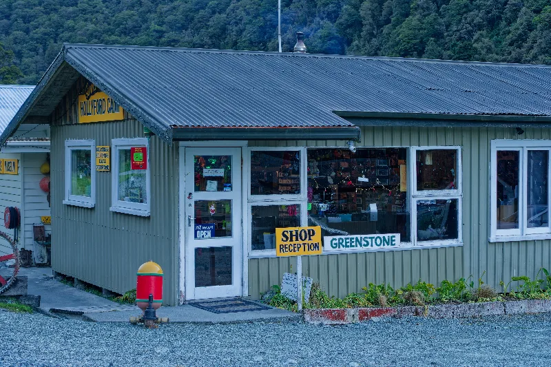
Gunn's Camp's shop and reception, also selling locally worked greenstone.
Milford Sound / Piopiotahi
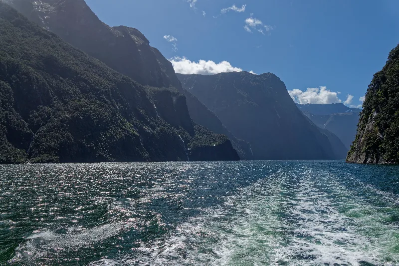
Milford Sound / Piopiotahi is New Zealand's best-known fiord, reached from Te Anau by the Milford Road through the Homer Tunnel. Despite the name, it is not a sound at all — a sound is a valley flooded by rising seas, while a fiord like Milford was carved by a glacier and later drowned by the sea, leaving the sheer, U-shaped walls and near-vertical peaks, most famously Mitre Peak, rising straight out of the water. Its Māori name, Piopiotahi, refers to the now-extinct piopio bird and the legend of a single one that followed the demigod Māui south in mourning after his death.
The Homer Tunnel, just over a kilometre long, was cut through solid rock to link the Milford Road to the valley below. Work began by hand with shovels and wheelbarrows in 1935, holed through in February 1940, and was finally completed in 1953 — delayed for years in between by the Depression, the Second World War, and the sheer difficulty of the site. Milford Sound itself receives some of the highest rainfall in the world, over 6,000 millimetres a year, which feeds hundreds of temporary waterfalls down its cliffs after heavy rain, in addition to the permanent falls such as Stirling and Lady Bowen.
One of the fiord's more unusual features lies just beneath the surface at Harrison Cove, where a layer of tannin-stained fresh water runoff sits on top of the salt water, dense enough to filter out most sunlight. That darkness fools deep-sea species such as black coral into growing at depths of only ten to twenty metres, which is what makes the underwater observatory there worth the stop — corals and fish normally seen only far below the surface, viewed here through windows just a short boat ride from the wharf.
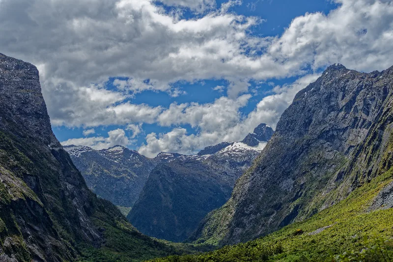
On foot again, this time up the road to Pass Creek and about an hour and a half further to Lake Howden Hut, then onto the Routeburn Track towards Glenorchy — down past Earland Falls and a viewpoint looking back over the whole Hollyford Valley.
Back to Howden Hut and up the short side trip to Key Summit instead, about ninety minutes round trip — a lovely loop, and one of the better-built tracks the Department of Conservation has done, with views out to Lake Marian and the surrounding peaks.
Back down Pass Creek to camp — out from 7:00 in the morning until 16:00, roughly nine hours on my feet in total. Last of the noodles tonight, and the fourth and final tin of tuna — only couscous and muesli bars left now. Fabulous weather today, a change from yesterday's cloud.
Time to say goodbye to Gunn's Camp — back to Te Anau tomorrow.
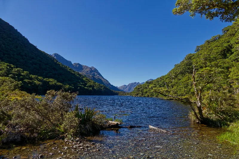
Lake Howden, perfectly still in the morning light, with the Darran Mountains visible down the valley.
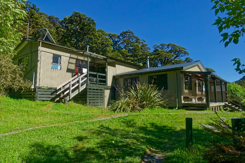
Lake Howden Hut, sitting right where the Routeburn and Greenstone tracks meet the Divide.
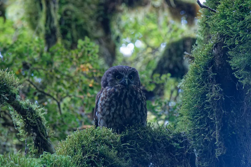
A morepork, or ruru, watching from a mossy branch — one of the few native owls active enough by day to be photographed.
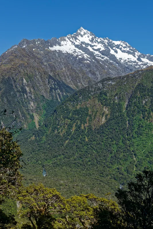
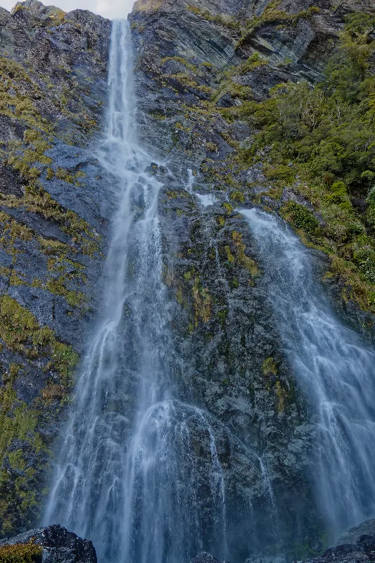
Earland Falls, dropping straight onto the Routeburn Track — walkers pass right along its base.
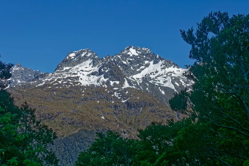
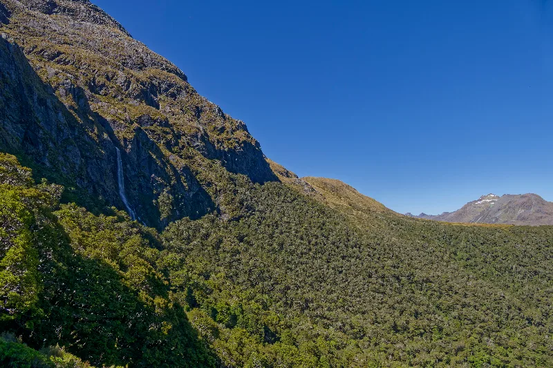
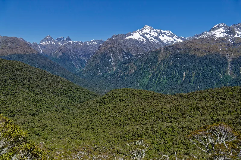
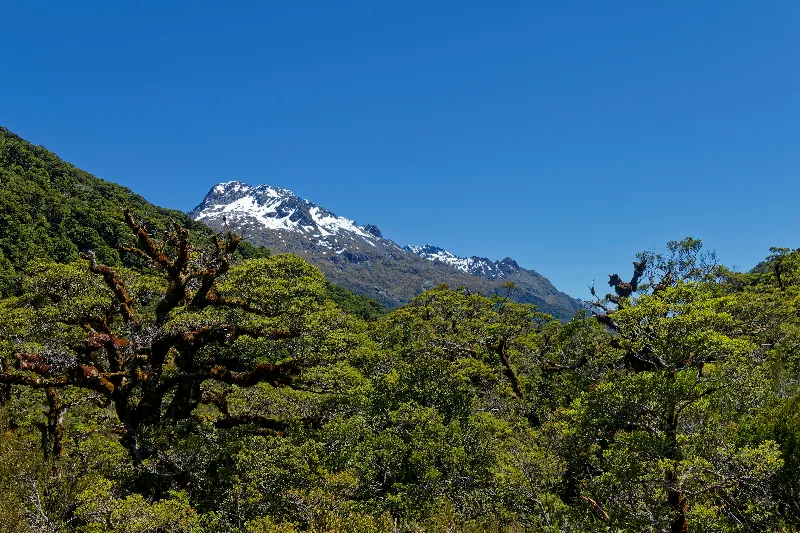
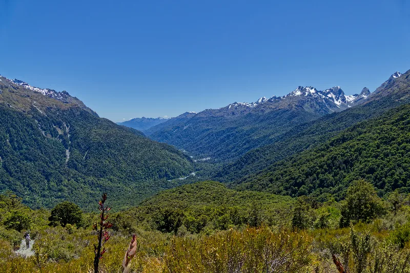
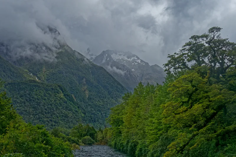
Looking back down the length of the Hollyford Valley from the Routeburn side.
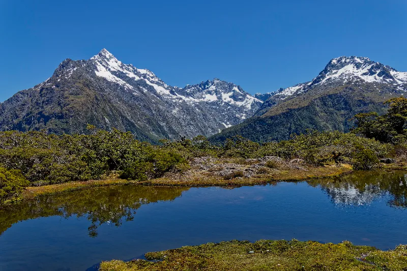
One of the alpine tarns on the Key Summit loop, the Darran Mountains reflected in the still water.
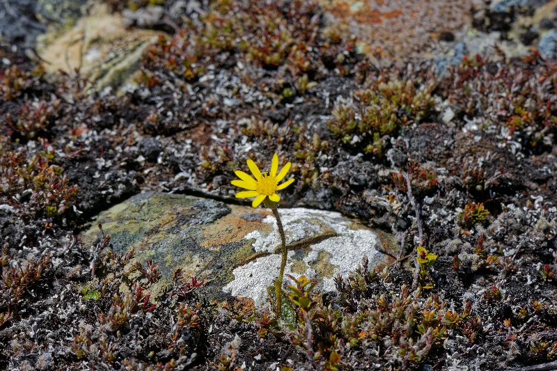
An alpine daisy growing between the rocks on Key Summit.
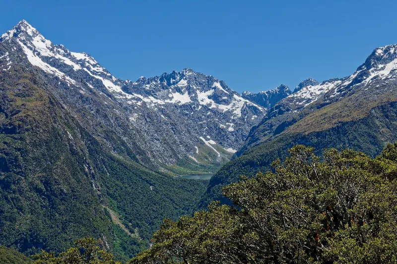
Lake Marian, set deep in its own hanging valley below the surrounding peaks — one of the views the Key Summit loop is known for.
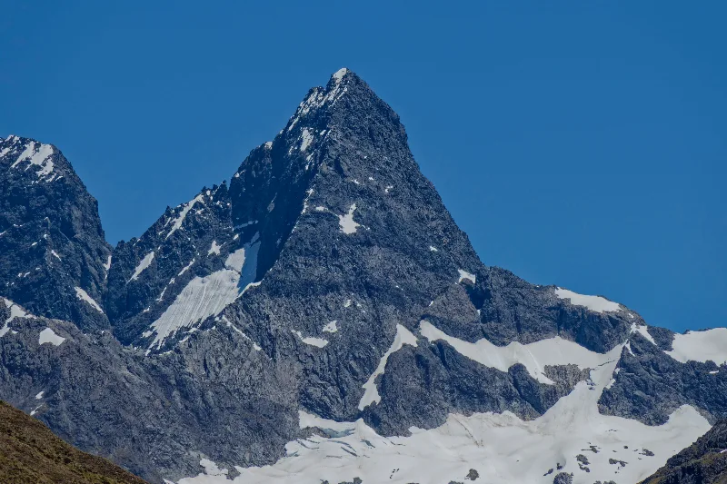
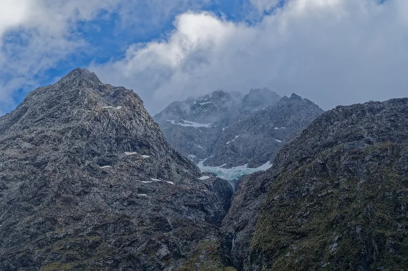
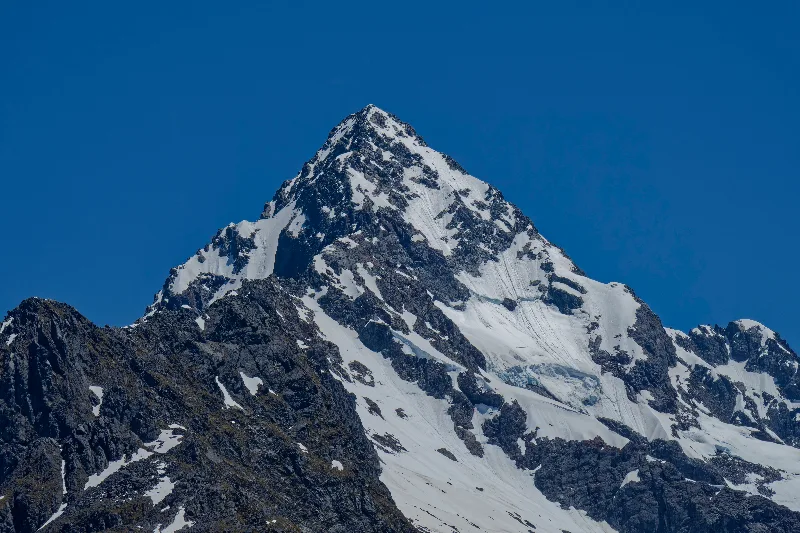
One of the Darran Mountains' sharper peaks, close enough from Key Summit to pick out the crevasses on its upper snowfield.
Routeburn Track and Key Summit
The Routeburn Track is one of New Zealand's Great Walks, a 32-kilometre alpine crossing linking Fiordland and Mount Aspiring National Parks between the Divide, on the Milford Road, and Routeburn Shelter near Glenorchy. It takes its name from the Route Burn, a river named by an early surveyor for the access route it offered into the mountains, and the full track typically takes two to three days, climbing over Harris Saddle between forested valleys on either side.
The Divide itself, at only about 530 metres, is the lowest crossing point of the Southern Alps' main divide accessible by road, which makes it an unusually easy entry point onto the Routeburn — a short walk from the car park reaches Lake Howden Hut, from where trampers can continue the full track, detour to Key Summit, or simply walk in a little way and back, as an easy day trip out of the Hollyford or Te Anau area.
Key Summit, reached by a short, well-formed side track from Lake Howden, sits at the meeting point of three great valleys — the Hollyford, the Eglinton and the Greenstone — and gives walkers a compact alpine loop with tarns, mountain flora, and views out to Lake Marian and the Darran Mountains, all for a fraction of the effort of a full Great Walk. Earland Falls, passed on the Routeburn side of the loop, drops around 80 metres next to the track and is at its most dramatic after rain.