Biking and Hiking New Zealand - Mavora Lakes and Lothlórien
Back in Te Anau by early afternoon, cloudy but pleasant weather. I'd agreed the evening before with a couple of Scottish cyclists to go to the cinema — Star Wars: The Force Awakens was showing instead of the usual Fiordland documentary, and I still managed to get a ticket.
Campsite afterwards, then some shopping. Ran into the Swiss couple again, and waved to a few more touring cyclists heading up the same road along the coast.
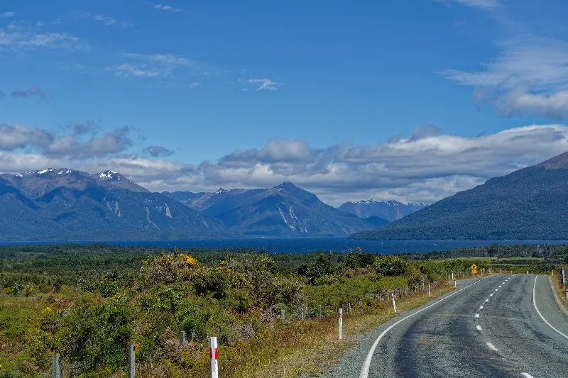
The road back toward Te Anau, the lake below and the Fiordland mountains beyond.
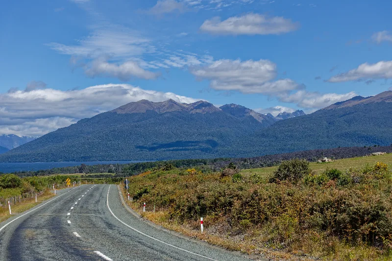
A short ride on an unsealed road from Te Anau out to Mavora Lakes — sandy in places, with some deep gravel, but manageable. Off to a late start at 9:30, and stopped again by about 13:00.
Spent the rest of Christmas Day at North Mavora: reading, watching the birds overhead, a bottle of wine, couscous with tuna twice over, and a good sunset to finish. This trip is now officially my longest yet, ahead of both the US and Norway. Talked with a fellow touring cyclist from Japan in the evening.
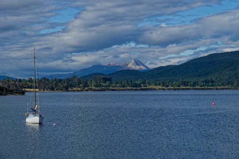
A yacht moored on Lake Te Anau that morning, before setting off for Mavora Lakes.
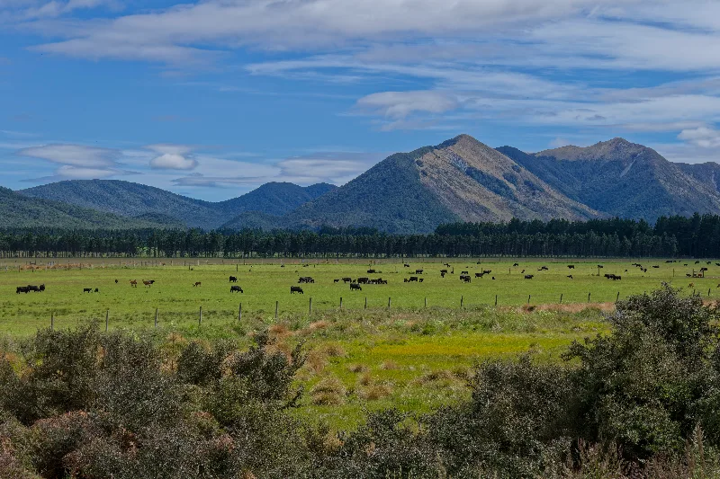
Cattle grazing the flats of the Mararoa Valley, on the unsealed road out to Mavora.
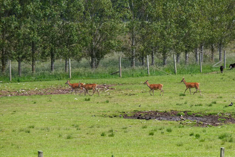
Farmed red deer in a paddock along the same road — deer farming is common through this part of Southland.
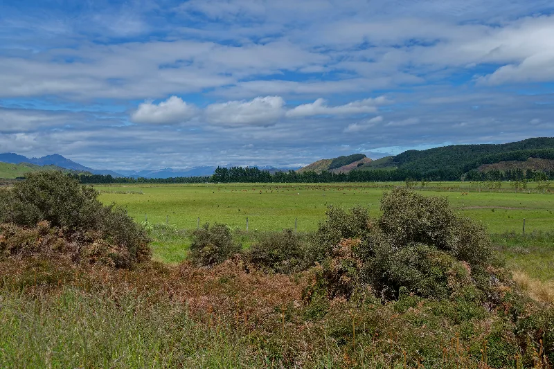
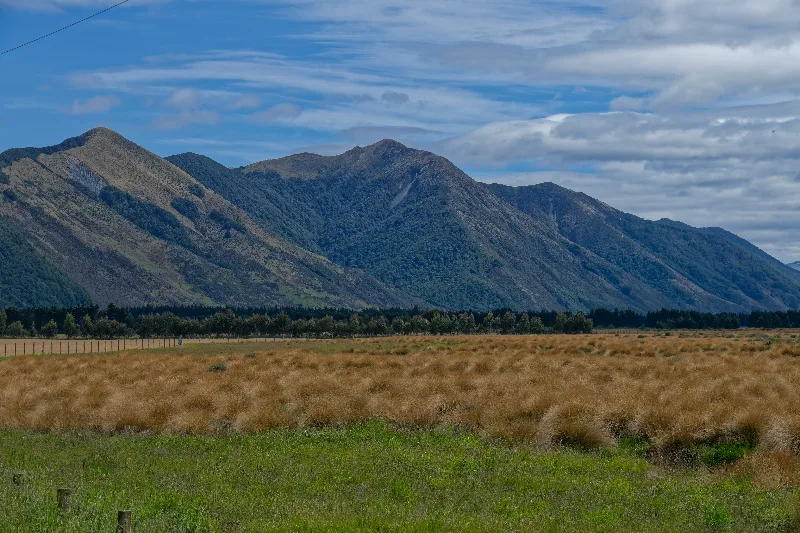
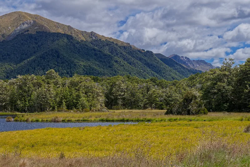
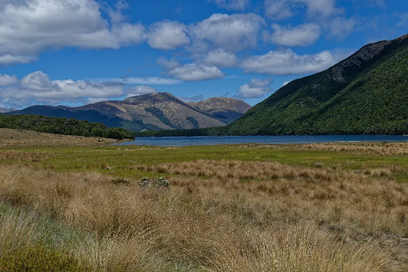
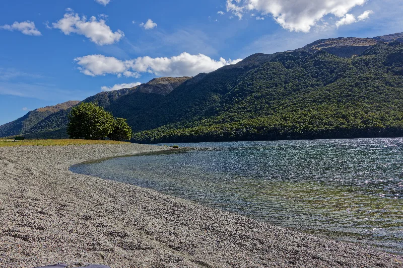
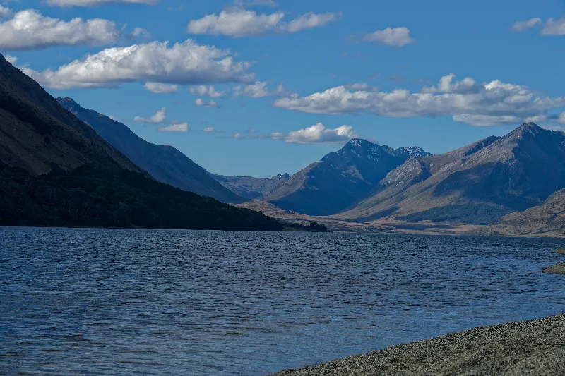
South Mavora Lake, tussock flats in the foreground and the Livingstone Mountains beyond.
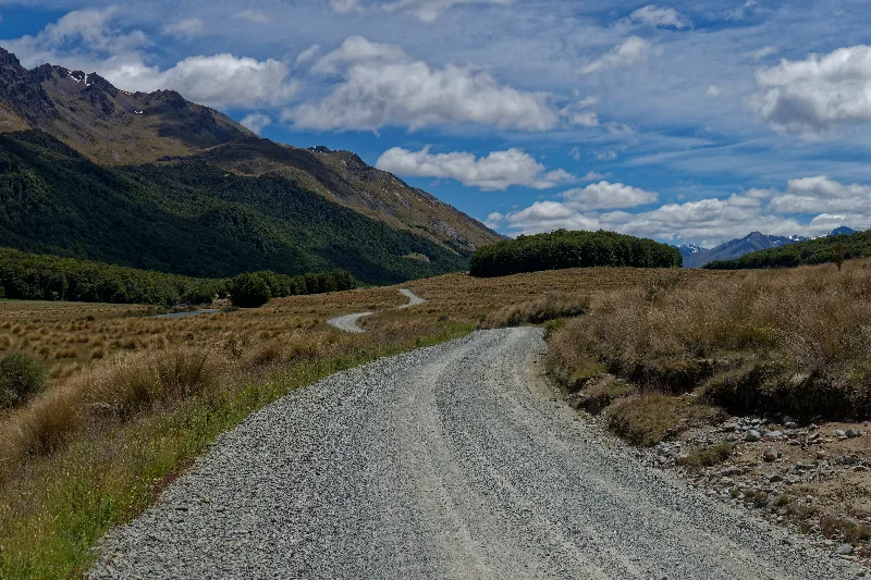
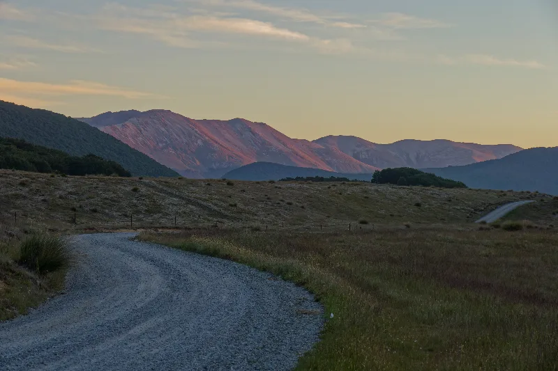
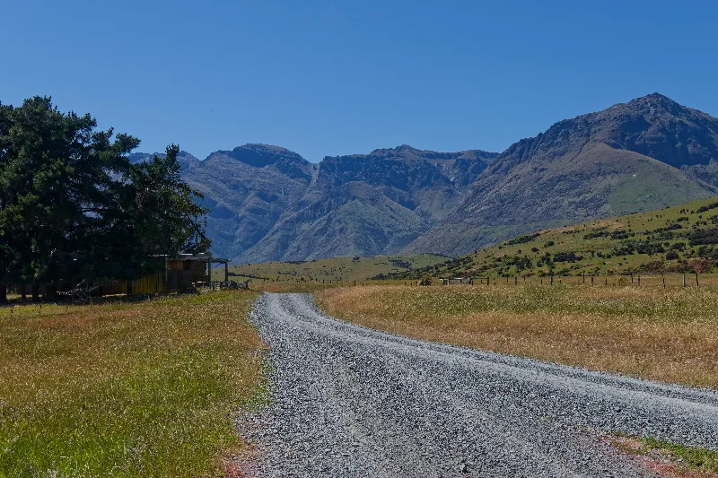
The gravel road running up the Mavora valley, sandy and loose in places.
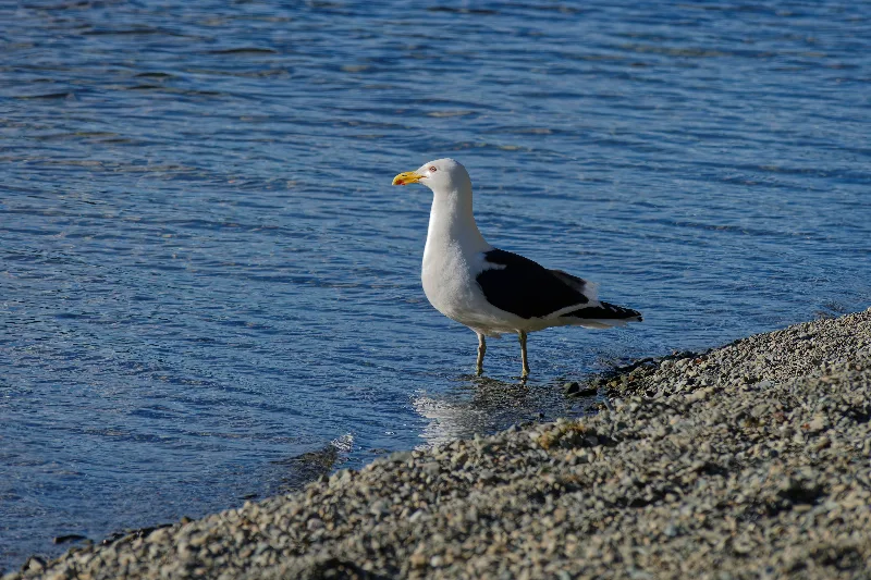
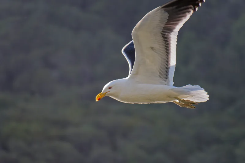
A southern black-backed gull at the water's edge — one of the birds watched that afternoon.
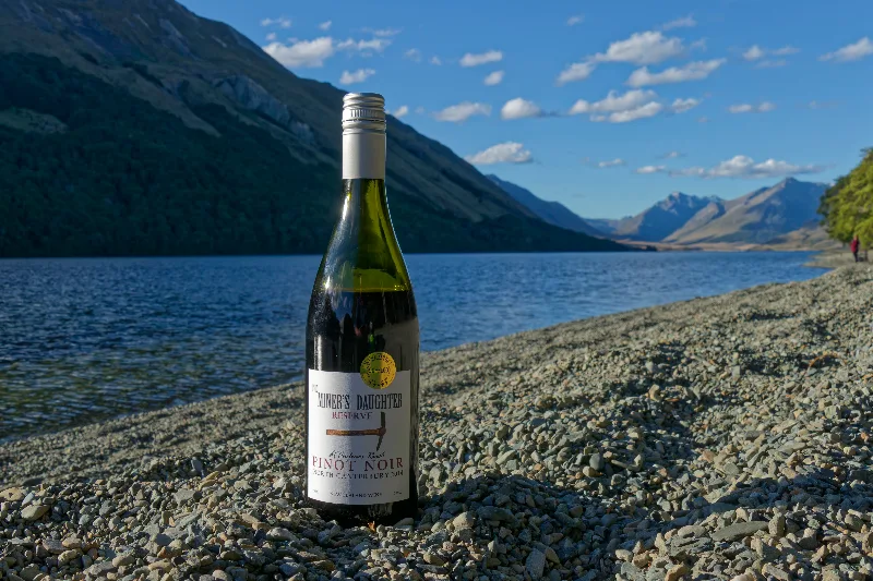
A bottle of Pinot Noir for Christmas Day, opened on the shingle beach at North Mavora.
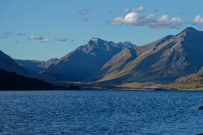
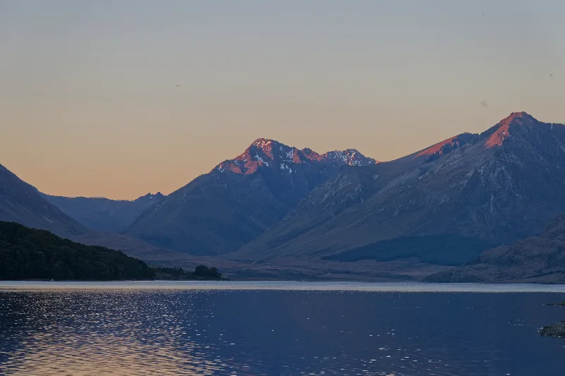
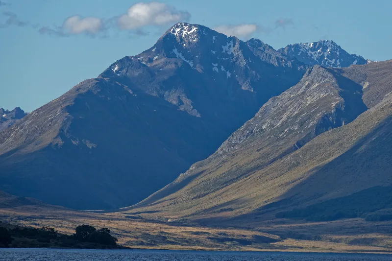
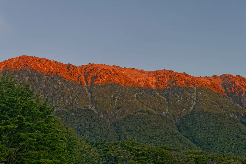
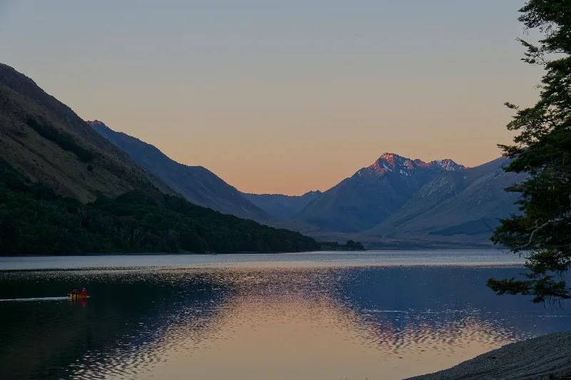
Alpenglow on the peaks above North Mavora Lake, the sunset that closed out Christmas Day.
Mavora Lakes
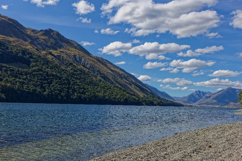
The Mavora Lakes, North and South, lie in a remote glacially carved valley in Southland, reached by an unsealed road off the Te Anau–Mossburn highway. Connected by a short stretch of the Mararoa River, the two lakes sit beneath forested hills and open tussock country and have long been a popular, low-key spot for camping, fishing and boating, well off the main tourist routes into Fiordland.
The valley is also known to film fans as one of the New Zealand backcountry locations used for the Anduin River and the approach to Amon Hen in Peter Jackson's The Fellowship of the Ring — a stand-in for Middle-earth that, unlike Glenorchy further north, has never made much fuss about the connection on site.
From North Mavora, slowly uphill at first, then a series of short, steep river valleys — up and down, twice fording a river about 20 cm deep, reminiscent of Iceland; the water was clear enough to pick a line around the bigger rocks and ride straight through.
A few more hills along the shore of Lake Wakatipu brought me to Walter Peak Station — with it being Christmas week, I didn't want to miss it, and it did not disappoint: packed with tourists, and another few hundred arriving off the TSS Earnslaw at 12:50.
On to Queenstown — a quick stop at the supermarket and straight back out again. The queue outside Fergburger was enormous, and everywhere else was just as busy. From there along the lake to Glenorchy: rarely have I had so many climbs and descents with such steep ramps in one stretch. Three and a half hours for 48 km, arriving at 17:00 — glad not to be back on the bike tomorrow. Decided on the spot to take a rest day and ride further up the valley instead.
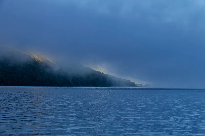
Mist lifting off North Mavora Lake at first light.
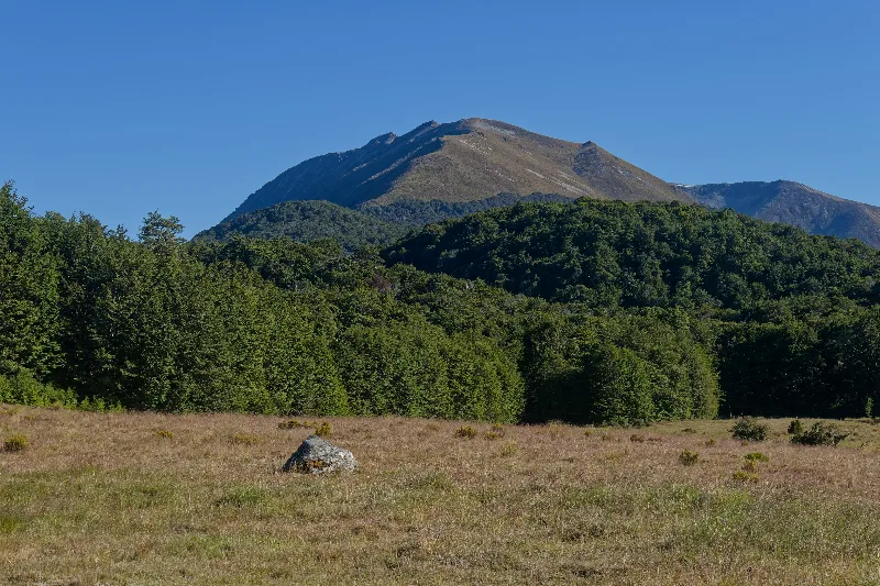
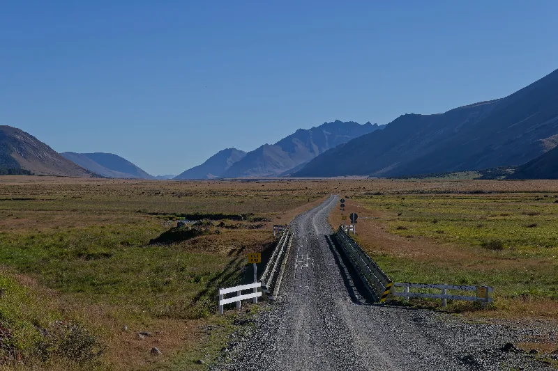
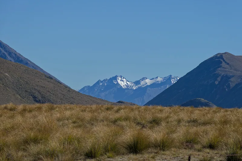
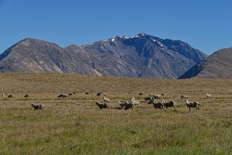
Sheep grazing the high country between Mavora and Lake Wakatipu.
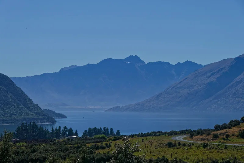
First sight of Lake Wakatipu, with the road down toward Walter Peak Station below.
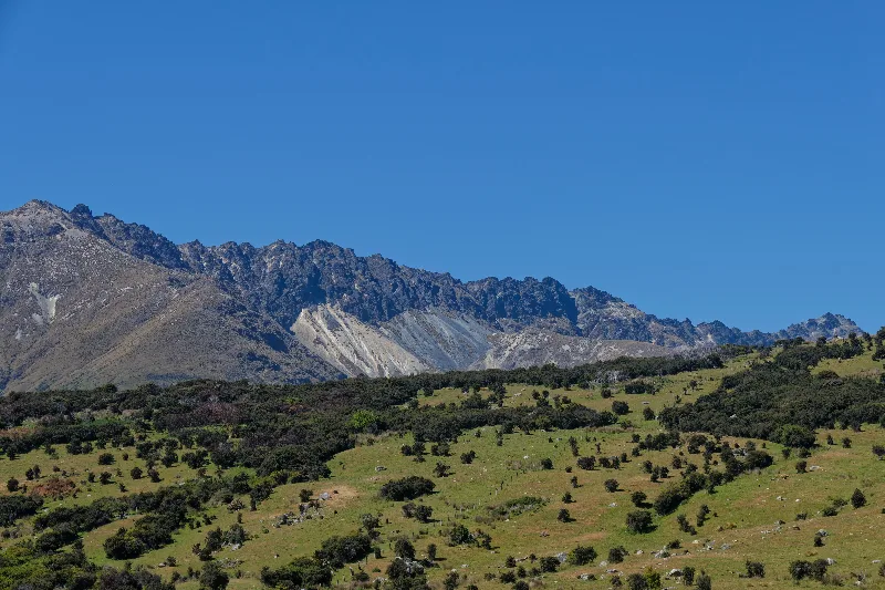
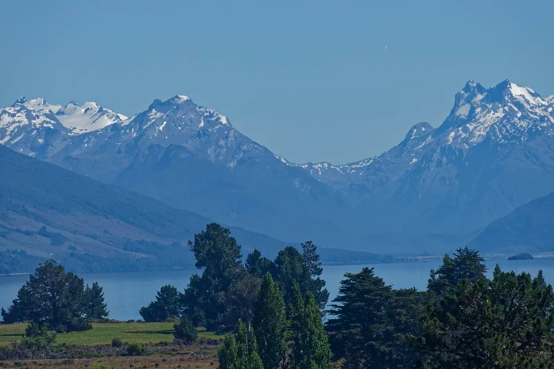
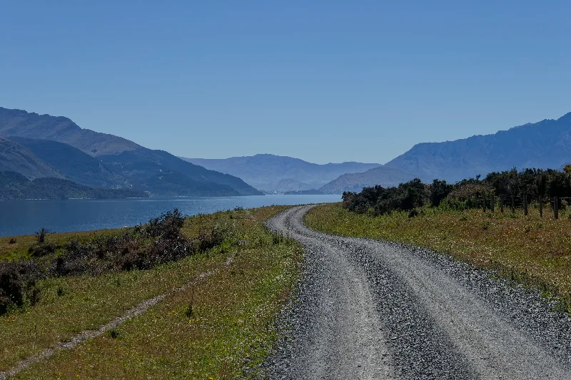
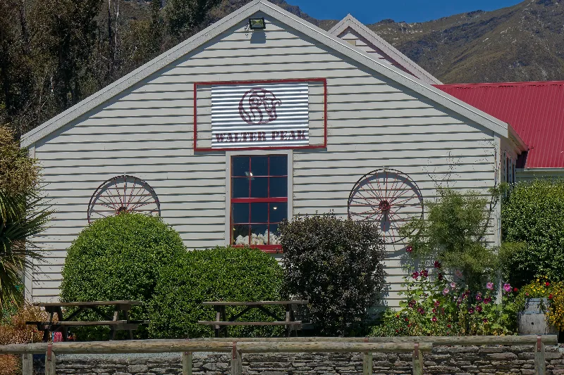
Walter Peak Station's homestead building, its sign facing the wharf where the Earnslaw docks.
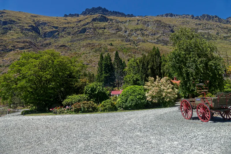
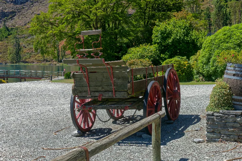
An old wagon on display in the station grounds.
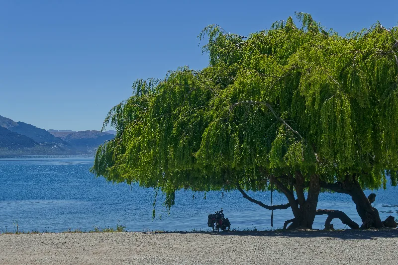
The loaded touring bike parked under a willow on Walter Peak's lakeshore.
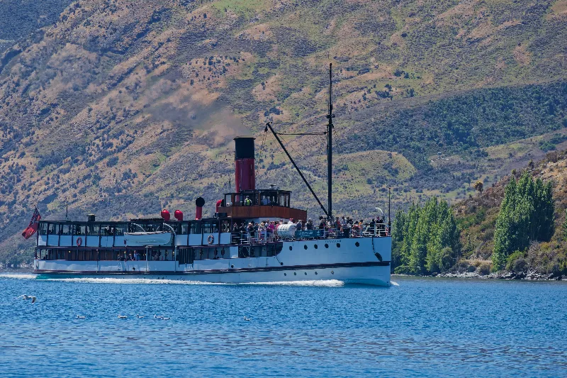
The TSS Earnslaw arriving at Walter Peak, trailing coal smoke from its funnel.
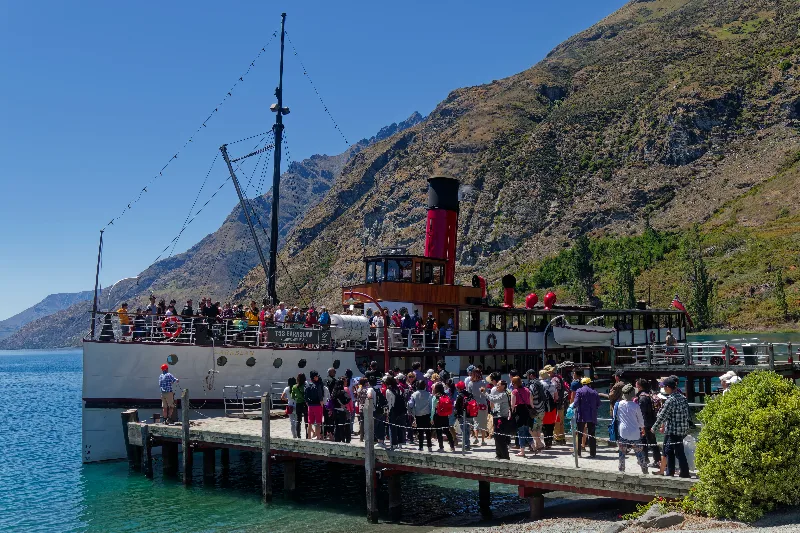
Passengers filing off the Earnslaw onto the wharf — a few hundred more added to an already busy day.
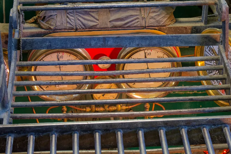
Brass steam gauges in the Earnslaw's engine room, caged behind a protective rail.
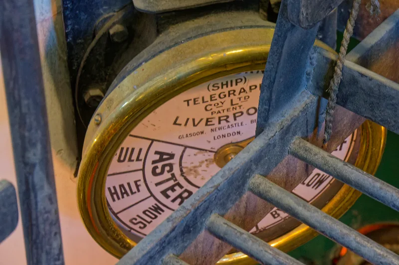
The ship's engine order telegraph, made by the Ship Telegraph Company of Liverpool.
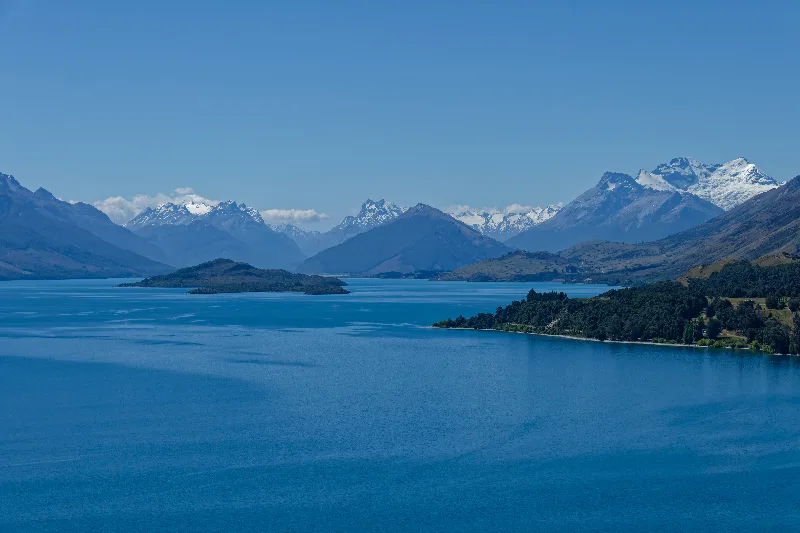
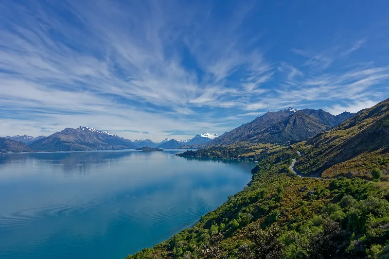
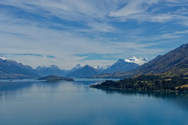
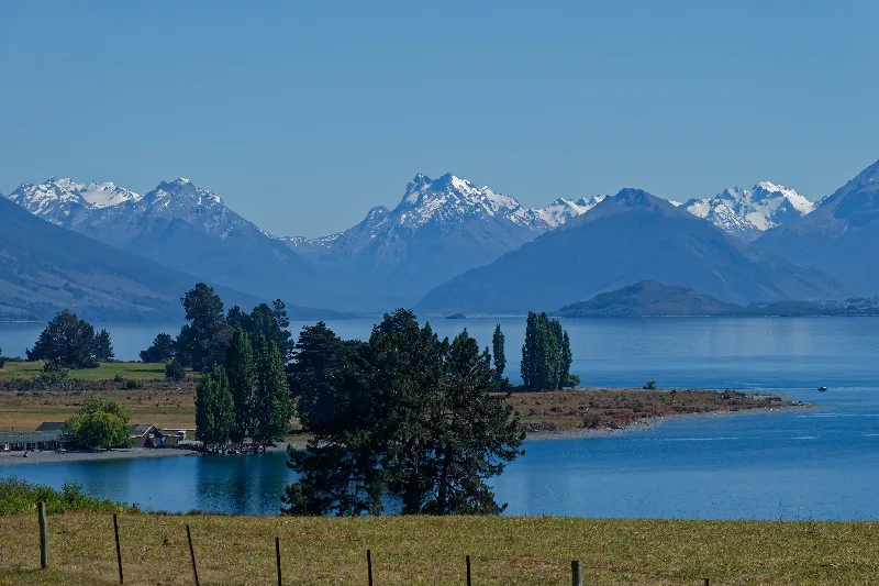
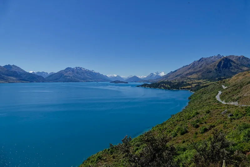
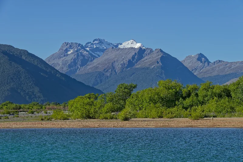
The classic view up Lake Wakatipu toward Glenorchy and the mountains beyond.
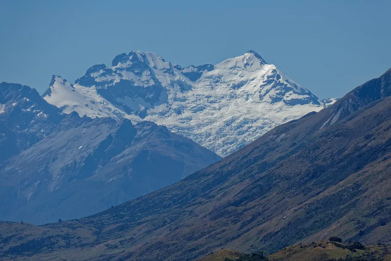
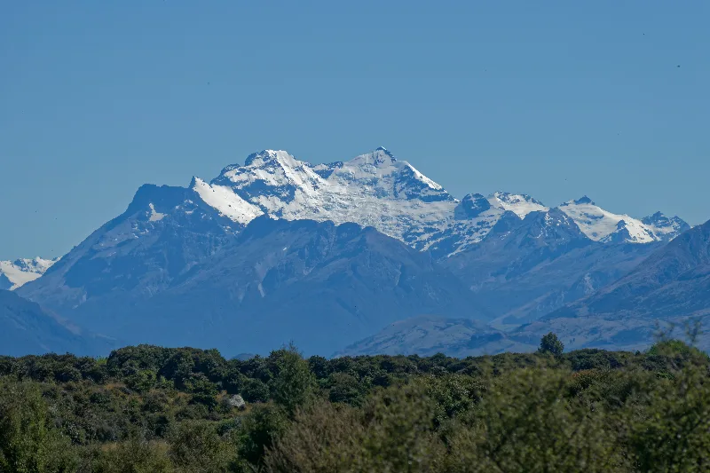
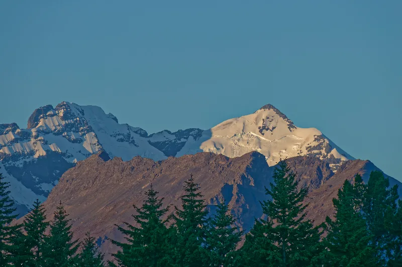
Mount Earnslaw's glaciated summit, the dominant peak at the head of the lake.
Walter Peak Station and the TSS Earnslaw
Walter Peak High Country Station sits on the western shore of Lake Wakatipu, directly across the water from Queenstown, and has run sheep and cattle since the 1860s. With no road link to Queenstown itself, most visitors reach it by boat, and it has become one of the region's best-known tourist stops, with farm shows and a restaurant built around the daily lake crossings.
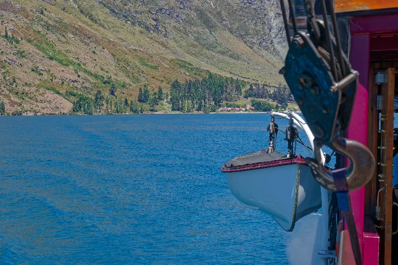
That crossing is usually made aboard the TSS Earnslaw, a coal-fired twin-screw steamer launched in 1912 and still in regular passenger service — one of the few working steamships of its age left anywhere in the world. Nicknamed the "Lady of the Lake," it was originally built to carry goods and passengers around Lake Wakatipu before roads reached the surrounding stations, and today carries tourists on the same crossing instead.
Glenorchy
Glenorchy is a small settlement at the head of Lake Wakatipu, about 45 km from Queenstown along a scenic lakeside road. Once a service town for the surrounding sheep stations and the gold and scheelite mining in the Rees and Dart valleys, it is now better known as a gateway to some of the region's best tramping: the Routeburn, Rees-Dart and Greenstone tracks all start from around here, and Mount Aspiring National Park begins just beyond the town.
Its dramatic backdrop of mountains, rivers and beech forest has also made Glenorchy a regular film location — most famously standing in for Isengard and parts of Lothlórien in The Lord of the Rings — and its relative quiet compared with Queenstown, especially around Christmas and New Year, is a large part of its appeal for visitors after the same scenery without the crowds.
Rode and walked up to the old Invincible gold mine in the Rees Valley, then on to Lake Sylvan — the last 8 km of that road a brutal washboard surface, with a headwind on top of it. A cloudless, very hot day throughout.
In the evening, at the campsite, a long talk with Bernd and his wife, both from Hamburg, who had stepped away from working life for at least three years to travel.
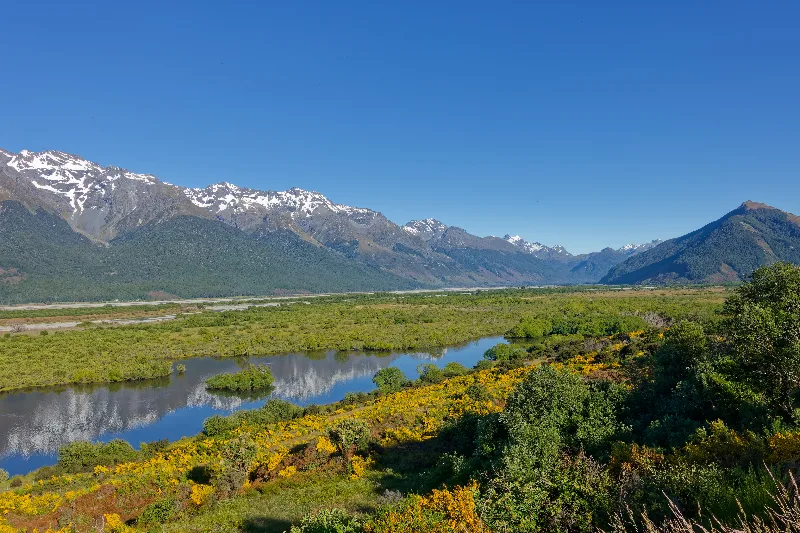
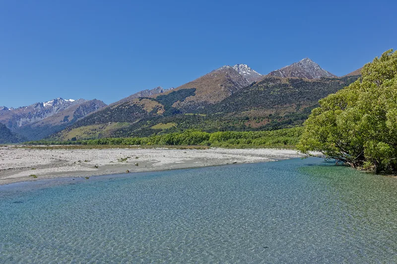
The braided Rees River valley above Glenorchy, seen early in the day.
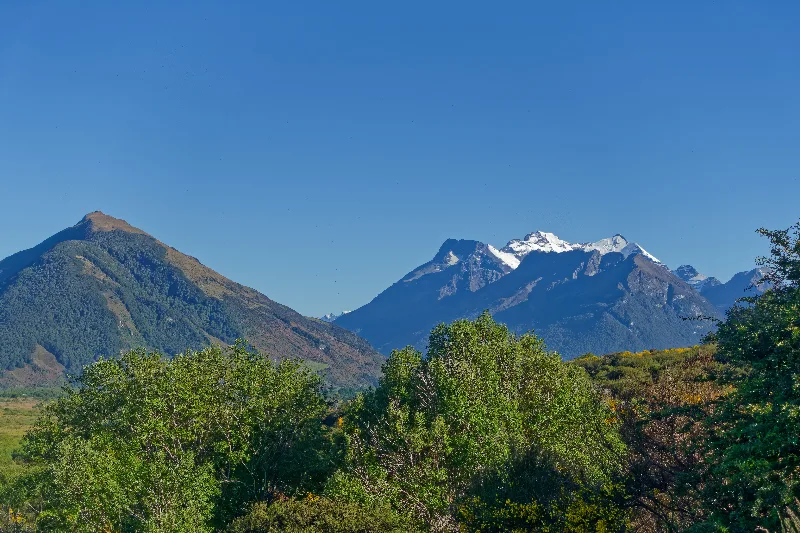
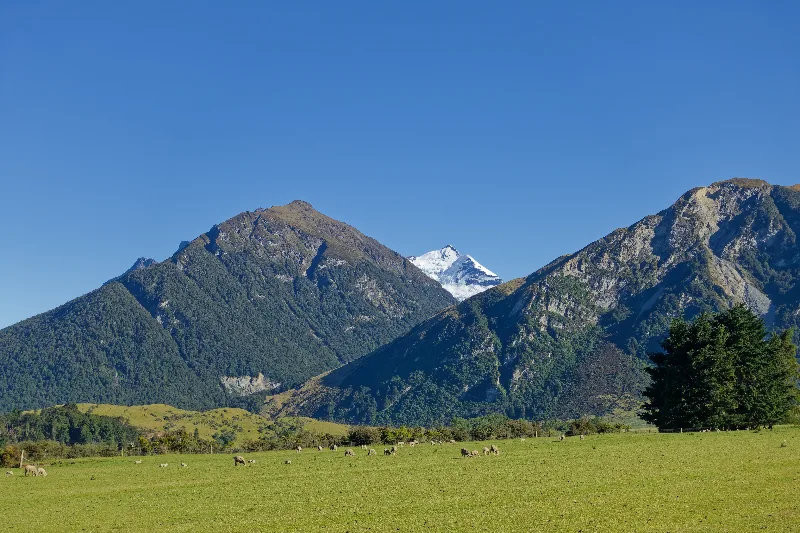
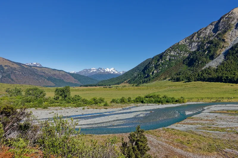
The Rees River flats on the way up the valley toward the old mine.
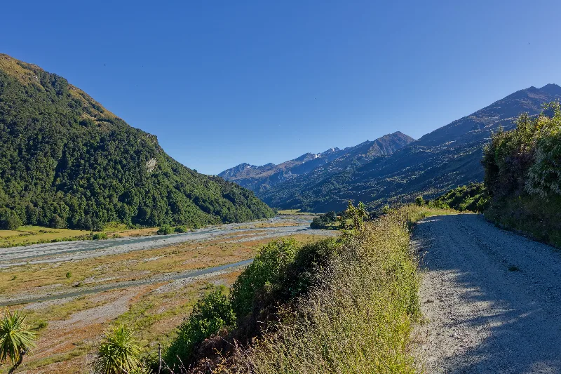
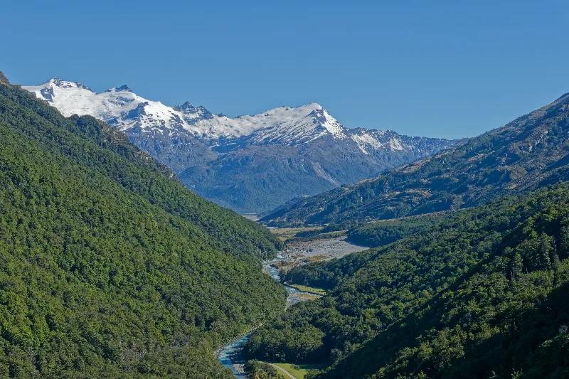
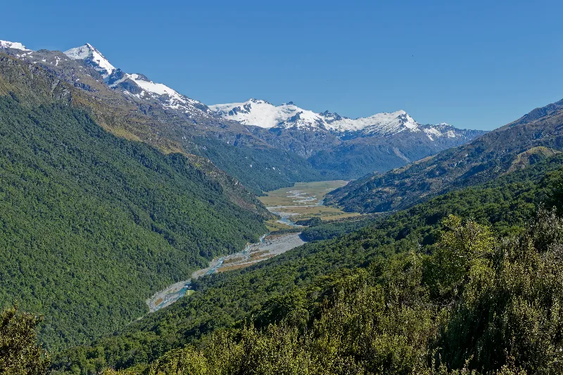
Looking down into the glaciated Rees Valley from higher up the track.
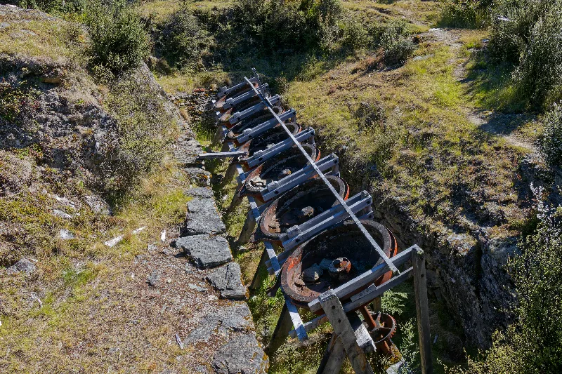
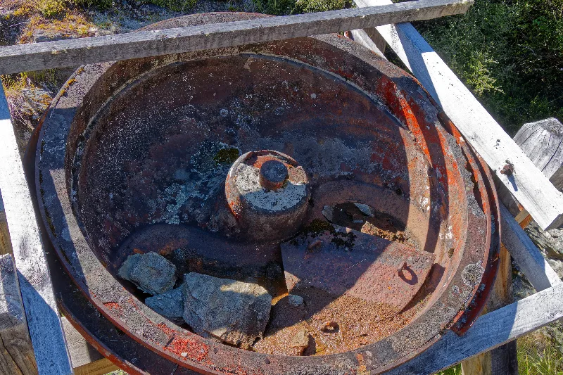
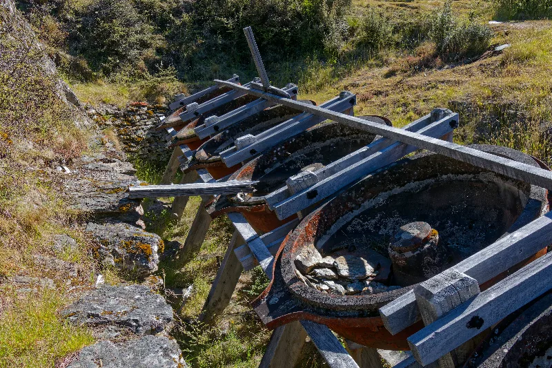
Rusting ore-crushing pans at the old Invincible gold mine in the Rees Valley.
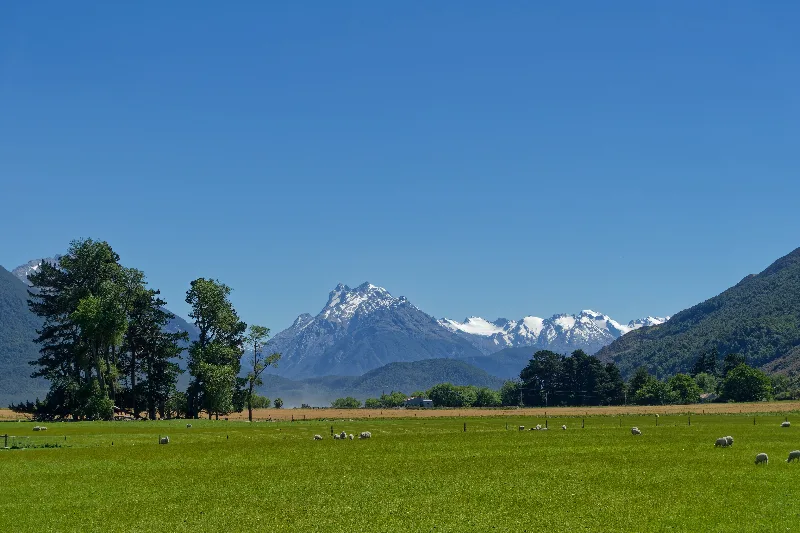
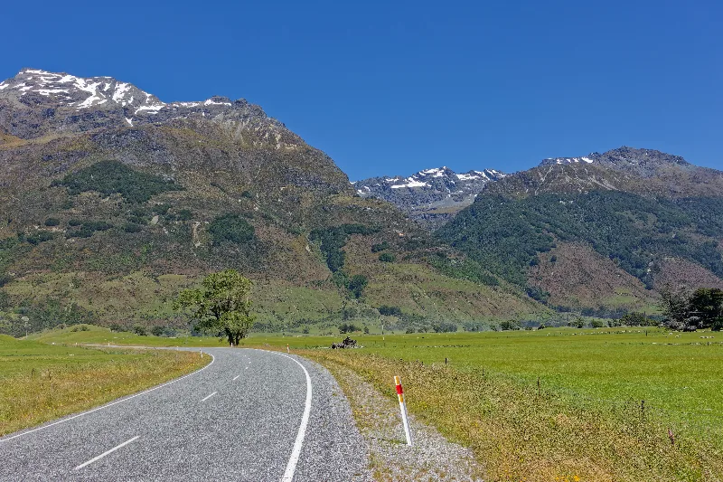
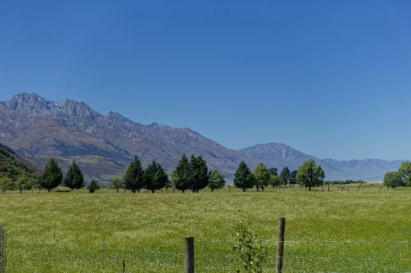
Farmland along the road near Paradise, on the way to Lake Sylvan.
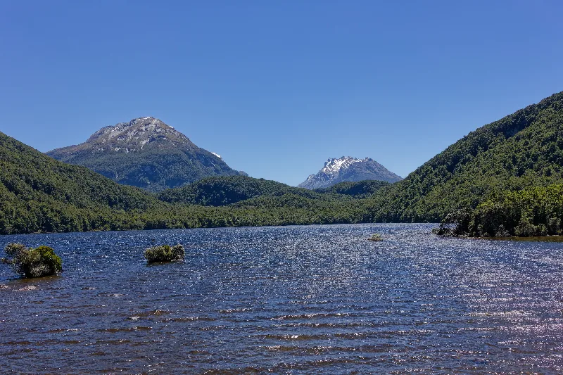
Lake Sylvan, small and forest-fringed, a short walk off the Routeburn road.
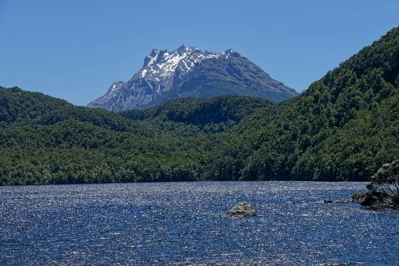
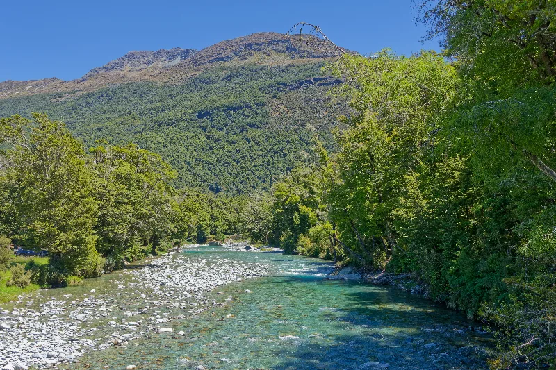
A clear, stony creek running down toward Lake Sylvan.
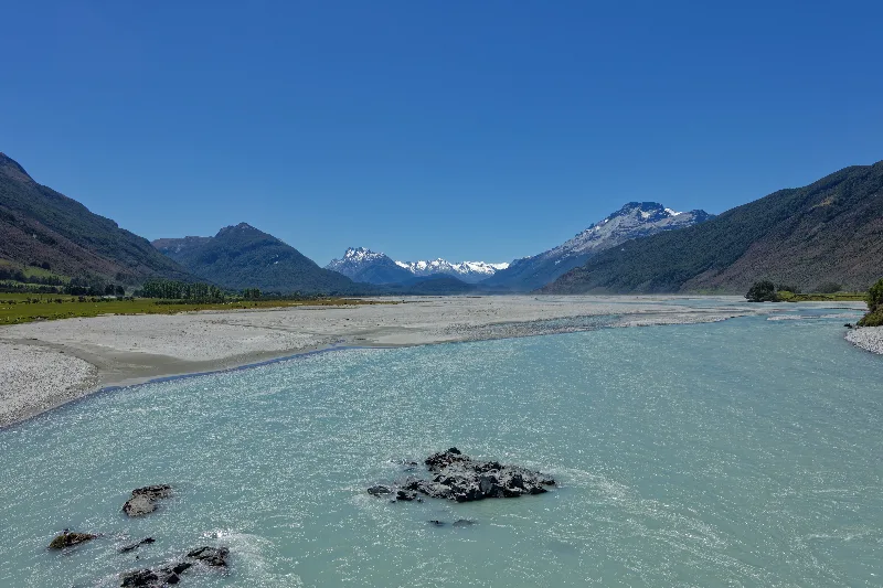
The milky blue Dart River, glacial silt giving the water its colour.
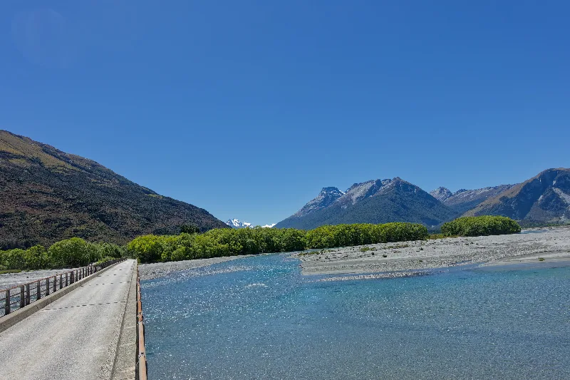
The one-lane bridge over the Dart River on the way back to Glenorchy.
Paradise and Lake Sylvan
Paradise is a tiny rural locality in the Dart River valley beyond Glenorchy, really just a scatter of farms and holiday houses rather than a village, named — according to local tradition — either for its beauty or, less flatteringly, for how hard it was to farm. The gravel road running through it continues up the valley toward the Rees and Dart river systems, both important access routes into Mount Aspiring National Park.
Lake Sylvan is a small, forest-fringed lake a short walk or ride off that road, popular for its easy access and reflections of the surrounding peaks, and connects onward to the Routeburn Track. Nearby, the Invincible Mine in the Rees Valley was one of the gold workings established in the area from the 1880s, its old machinery and tunnels still traceable on the hillside above the valley floor.
Last night turned into a fun one — a group of young Irish travellers joined in, and there was a fair bit of drinking; some of them were from Waterford and Cork.
Up at 8:30, breakfast, a look at emails, then on the road again — Queenstown by 11:30, and from there onward to Arrowtown and the Crown Range.
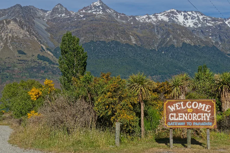
The sign at the edge of Glenorchy — "Gateway to Paradise" — on the way out of town.
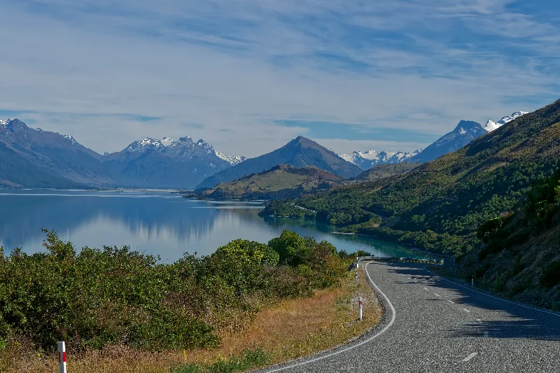
The road back toward Queenstown, Lake Wakatipu calm in the morning light.