Volcanoes and Forgotten World Highways
A last coffee-stop start in New Plymouth — a few fifty-somethings at the next table debating the merits of a simple life, no house, no car, no yacht, half-overheard; one of them, an Austrian expat, had nothing new to add. New Plymouth's beachfront has a smart villa quarter, and the bike paths along it were noticeably well kept.
Then inland on quiet, hilly back roads — plenty of climbing, but pleasant riding with almost no traffic — before joining State Highway 43, the Forgotten World Highway, where the tree cover ran out just as the climbing turned properly hot. Reached Whangamomona, the self-declared Republic, a little before 3pm, and decided to stay right there rather than push on: the nearest Department of Conservation campground was another 70km, a smaller site only 15km, neither worth it with showers uncertain either way.
The Whangamomona Hotel turned out wonderfully quirky — burger and beer, or, since it was still only midday, a cold juice and a muffin instead. The bandage from the Taranaki fall held up through a shower; the thumb's improving, though the shin still stings now and then and the legs are a patchwork of bruises.
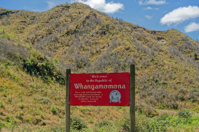
The Republic of Whangamomona's roadside welcome sign — passports available, unofficially, from the hotel.
The Republic of Whangamomona
Whangamomona is a tiny settlement on the Forgotten World Highway, the winding, partly unsealed back road linking Taranaki to the central North Island. In 1989, a local government boundary reshuffle moved the town out of the Taranaki region and into Manawatū-Whanganui against residents' wishes — their response was to declare the Republic of Whangamomona, in equal parts protest and long-running joke.
The Republic has since had a colourful line of presidents, including a goat and, after his untimely demise, a poodle, both duly elected. Republic Day is celebrated roughly every two years with a full day of local events, and passing visitors can pick up an unofficial passport stamp at the town's hotel — exactly as the roadside sign still promises.
Away from Whangamomona at 7:45am into thick fog, then a scorching day of endless short, sharp climbs — a good 15km of them tackled the harder way round. First proper meal of the day was a supermarket pizza and a smoothie, grabbed in Taumarunui after nearly 100km, early afternoon.
On from there to National Park Village in the building heat, then further still to a holiday park near Tongariro, where the Tongariro Alpine Crossing shuttle got booked for the next morning — $30. 163km covered in nine and a half hours, one of the longest days of the whole trip.
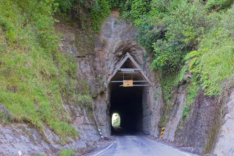
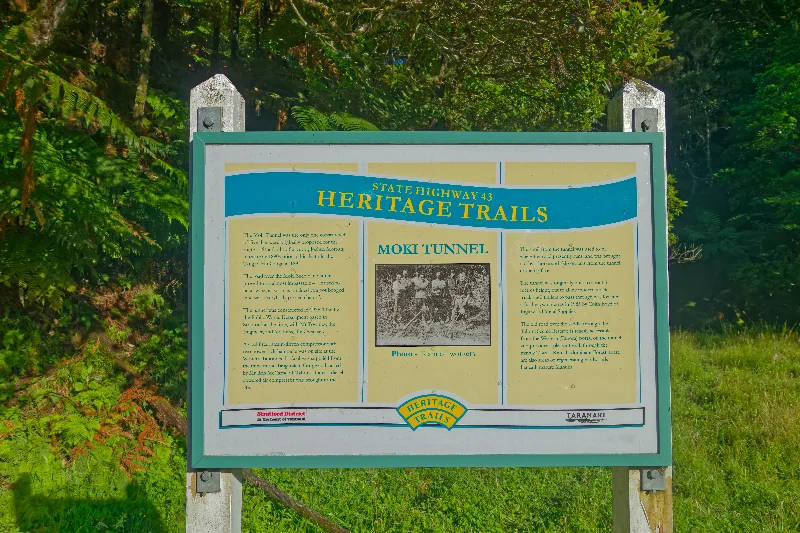
The Moki Tunnel — hand-dug through the hillside in 1936, known locally ever since as the "Hobbit's Hole."
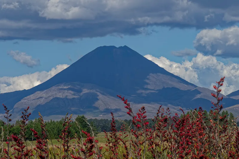
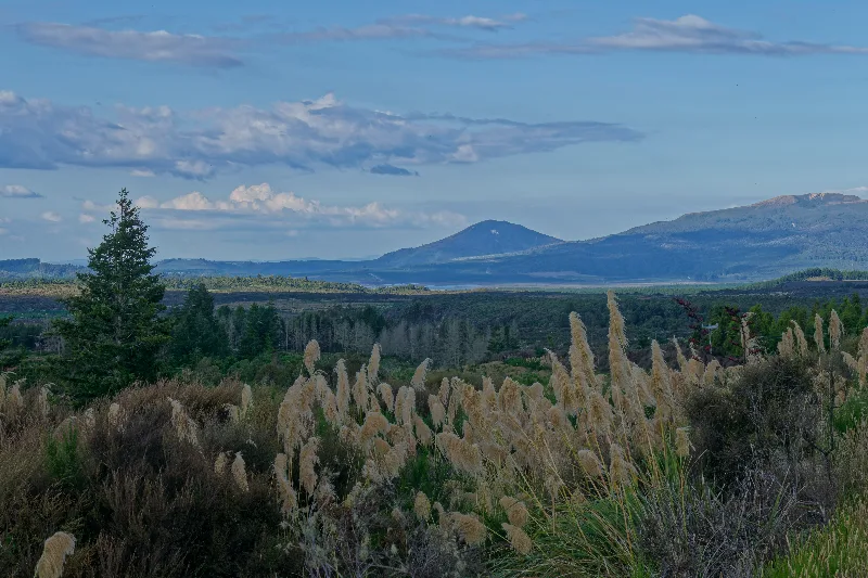
Mt Ngāuruhoe, seen from the road on the approach to Tongariro — tomorrow's target already visible today.
The Tongariro Alpine Crossing
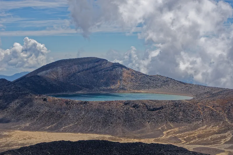
Widely rated one of the best one-day walks in the world, the crossing runs around 19.4km across the saddle between Mt Tongariro and Mt Ngāuruhoe, climbing past steaming vents, old lava flows and two strikingly coloured crater lakes — the Emerald Lakes, tinted by dissolved minerals, and the clearer Blue Lake beyond them. Red Crater, at just over 1880m, is the track's highest and most exposed point.
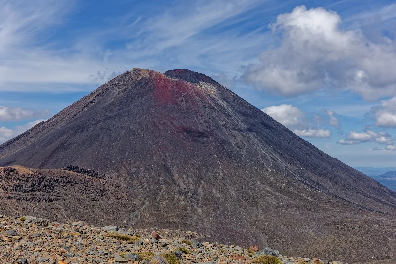
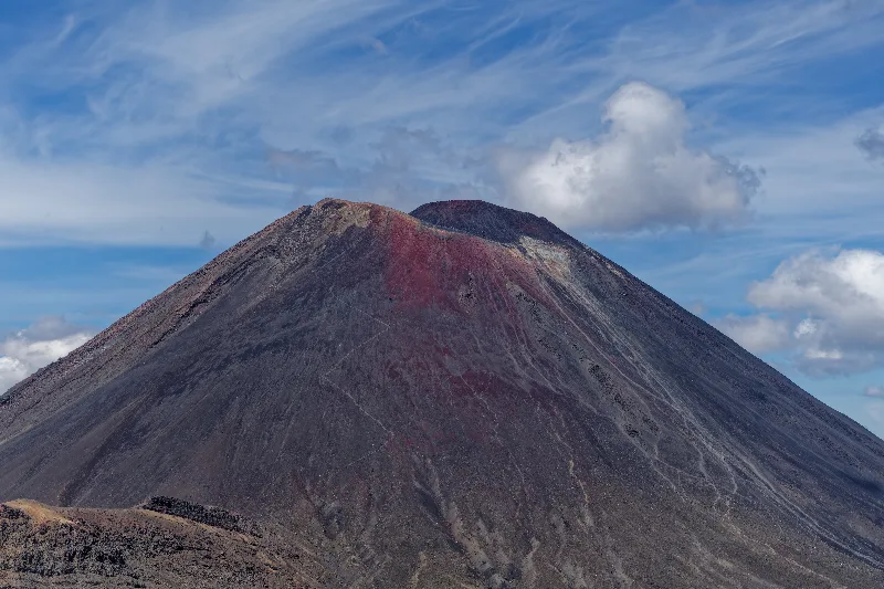
Mt Ngāuruhoe's near-perfect volcanic cone is instantly recognisable as Mount Doom from Peter Jackson's Lord of the Rings films. Climbing it is an unmarked, unofficial side-trip straight up loose scree — steep and slow on the way up, fast if ungraceful coming back down. Tongariro, Ngāuruhoe and Ruapehu, all still active, sit together inside Tongariro National Park, New Zealand's oldest national park and one of relatively few sites worldwide with UNESCO World Heritage status for both natural and cultural, Māori, significance.
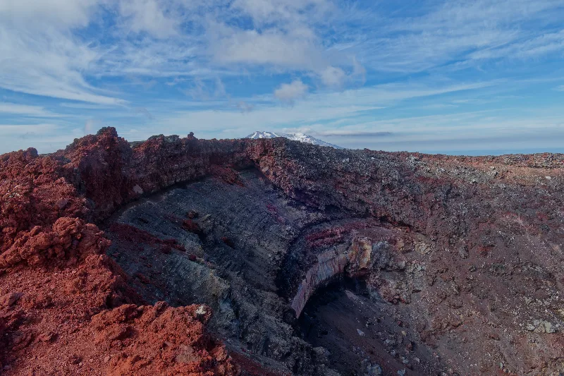
Up at 6:45am, on the shuttle to Mangatepopo by 7:10, in the best weather that could be hoped for — fortunate, this being the third attempt at the Tongariro Alpine Crossing, the first two having fallen through on earlier trips to New Zealand. Shared the track with plenty of fellow walkers, though not everyone took the extra side-trip up Ngāuruhoe. Getting up the loose scree took the better part of an hour; thirty minutes at the crater rim, with Mt Ruapehu's snow-capped summit visible beyond it; then a fast thirty-minute scree-run back down, not nearly as straightforward as it looked from below.
From Red Crater, the track's highest point, Mt Taranaki was visible far to the south-west — the same view in reverse from the one spotted from Taranaki's own slopes a few days earlier. On past the Emerald Lakes and Blue Lake, their colours as improbable in person as in every photo, then down the Ketetahi side with Lake Taupo spreading out below and steam still rising from vents right beside the track. At the Ketetahi car park by 2:15pm, back at base by shuttle at 3pm — everything about the day went perfectly.
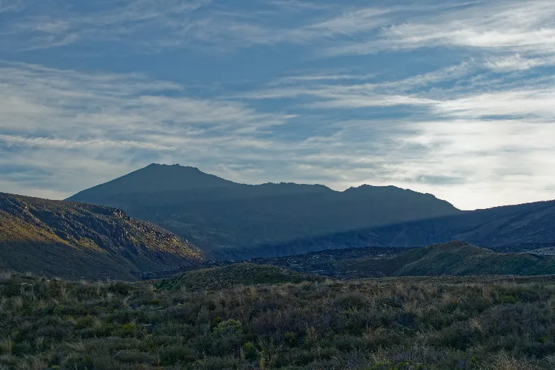
First light on Mt Ngāuruhoe, at the start of the Tongariro Alpine Crossing.
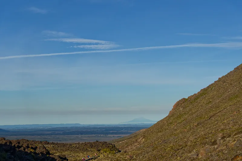
Looking back across the volcanic plateau — Mt Taranaki just visible on the horizon, days after standing on its summit.
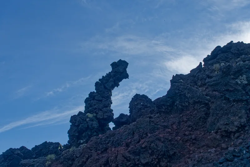
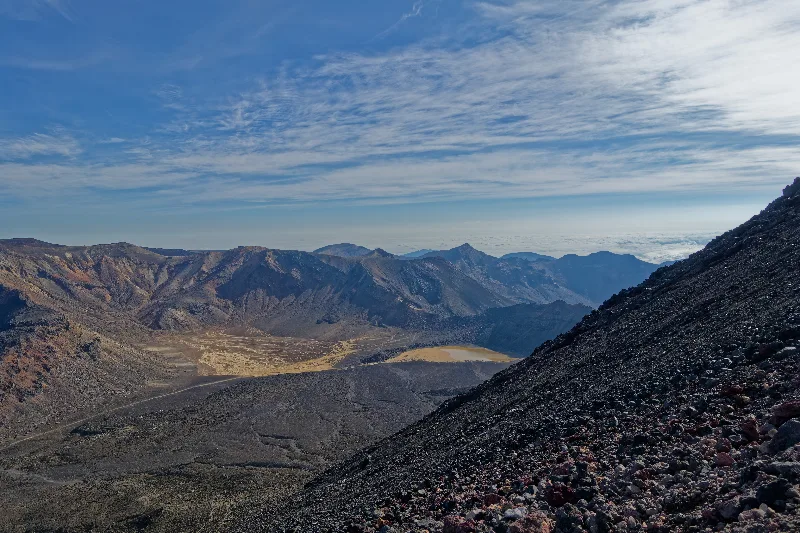
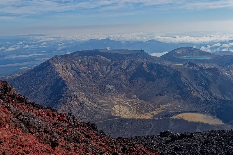
The view from Ngāuruhoe's crater rim, thirty minutes at the top after a steep climb up loose scree — Mt Ruapehu's snow-capped summit beyond.
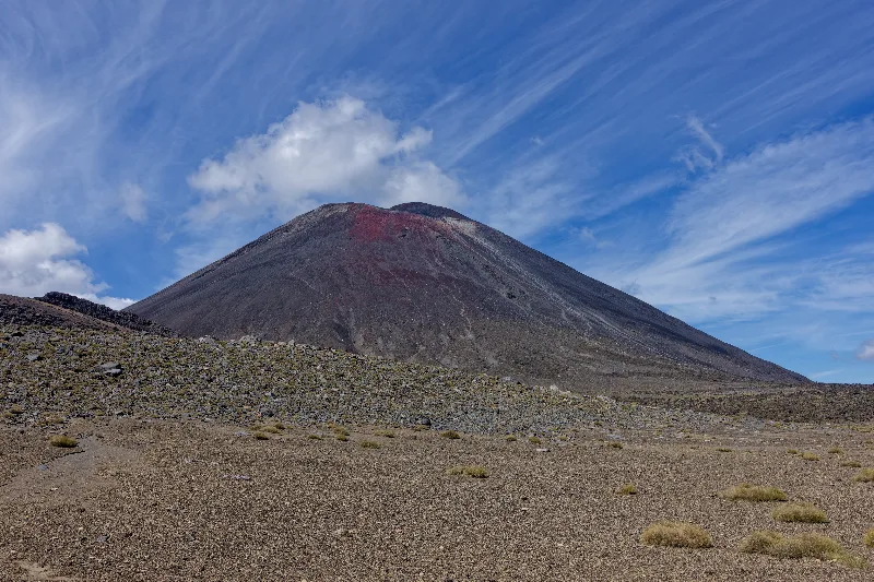
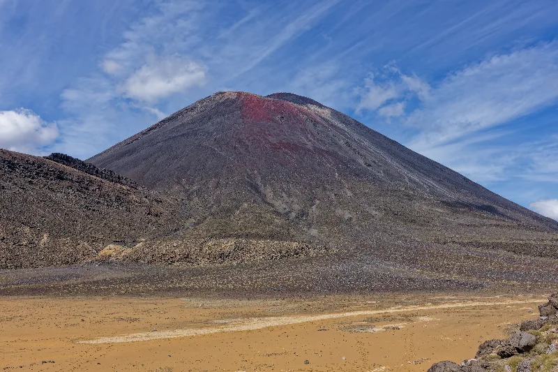
Mt Ngāuruhoe's near-perfect cone — better known to Lord of the Rings fans as Mount Doom.
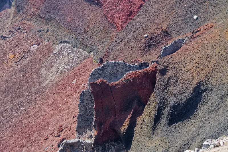
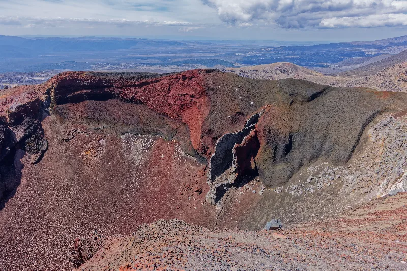
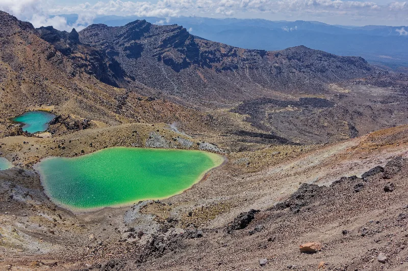
The Emerald Lakes, coloured by dissolved minerals leaching from the surrounding volcanic rock.
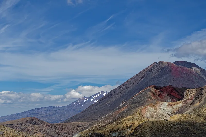
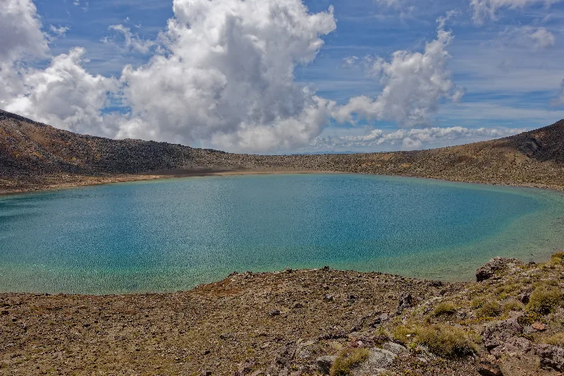
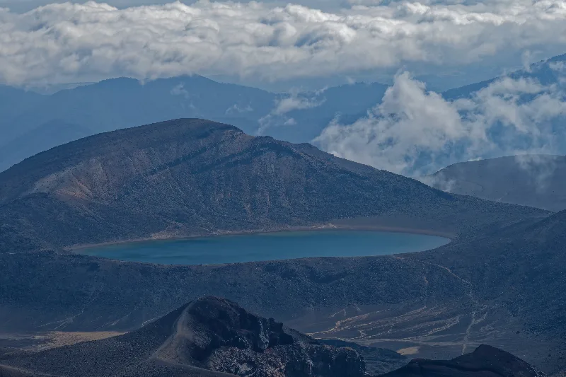
Blue Lake, its clear turquoise water a striking contrast to the volcanic rock around it.
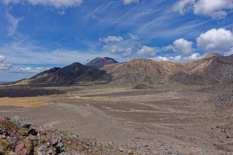
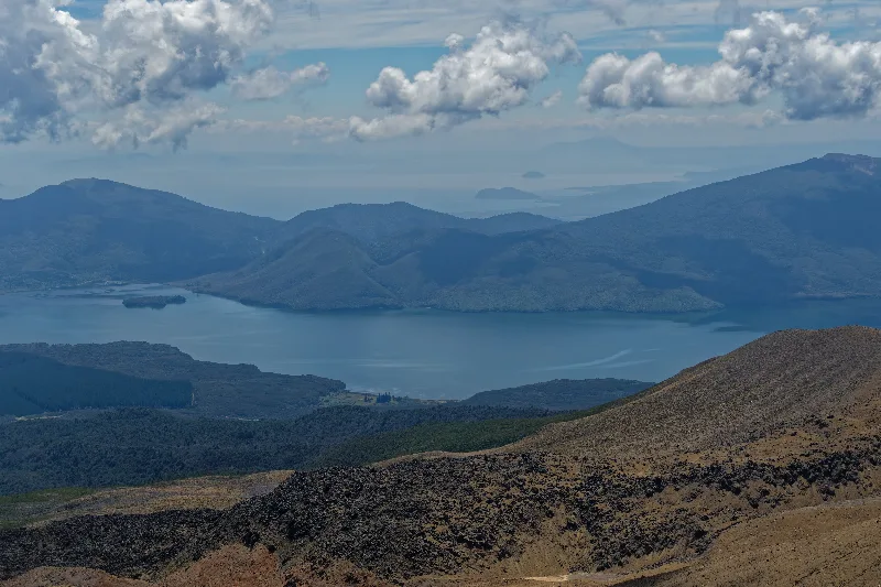
Lake Taupo spreading out below on the descent toward Ketetahi.
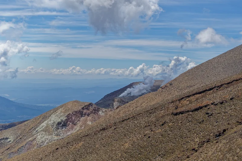
Steam still rising from vents right beside the track, near Ketetahi.
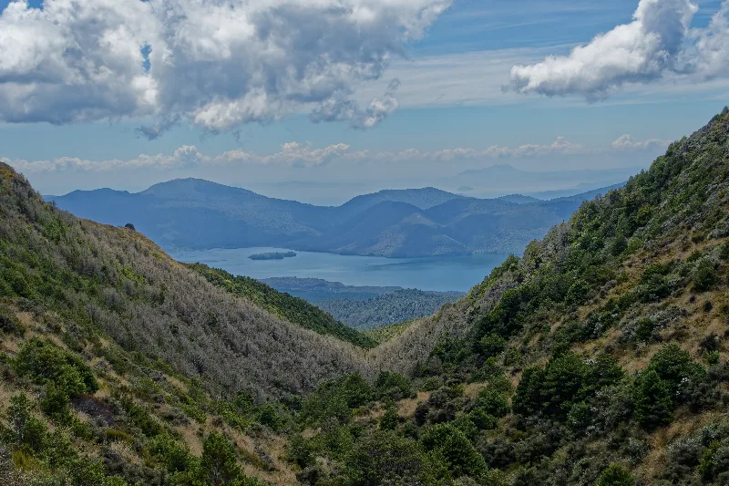
Back into native bush on the final stretch down to the Ketetahi car park.
One more week and it'll be time for Auckland — this is all going too fast. An easy day, just into Taupo, with time for the Craters of the Moon geothermal area and the small local museum. Tomorrow's choice: straight on to Waitomo, or a detour via Wai-O-Tapu — decided against the detour in the end, with unsettled weather forecast for the days ahead. 100km in 5 hours 18 minutes, then a barbecue in Taupo that evening.
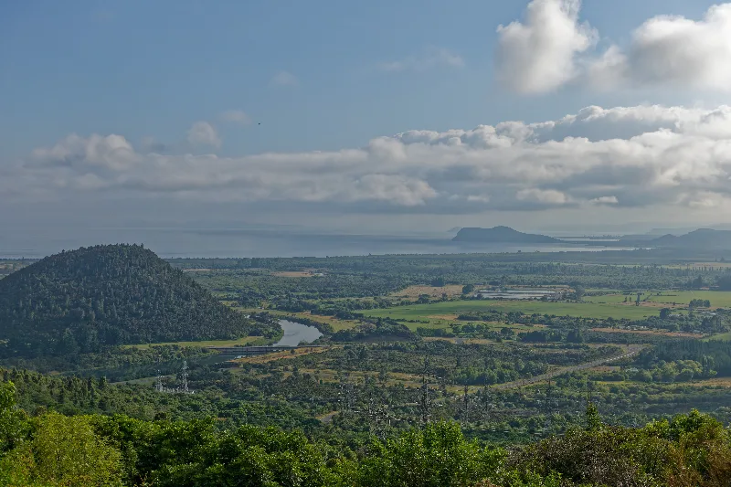
Arriving at Lake Taupo, the Waikato River winding through the plain below.
Craters of the Moon
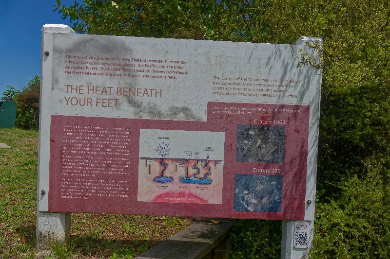
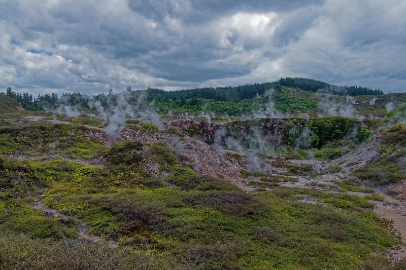
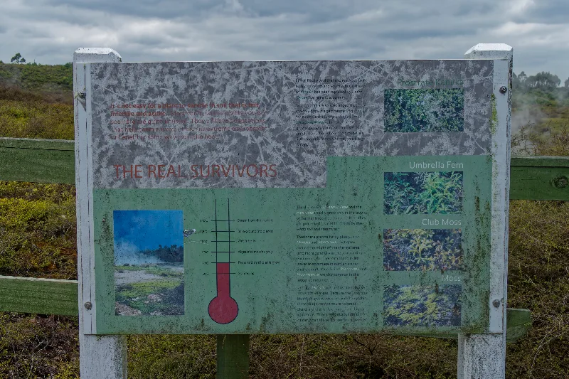
This geothermal field sits on the edge of the Wairakei system near Taupo, right where the Pacific and Indo-Australian tectonic plates meet — one of the reasons New Zealand has so much thermal activity in the first place. Fumaroles, mud pools and craters keep forming, closing and shifting here; the display boards on site compare photos from 1963 and 2001 showing just how much the crater field has grown in a few decades.
The ground's bright orange and red clays come from condensing steam and gas altering the pumice soil, tinted green in places by algae that thrives around the vents' edges.
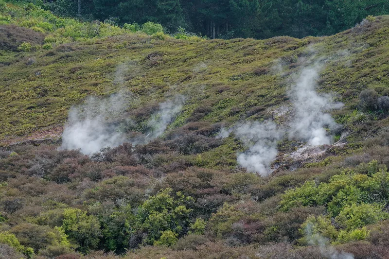
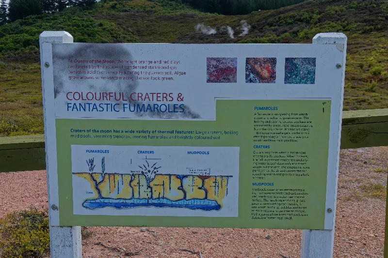
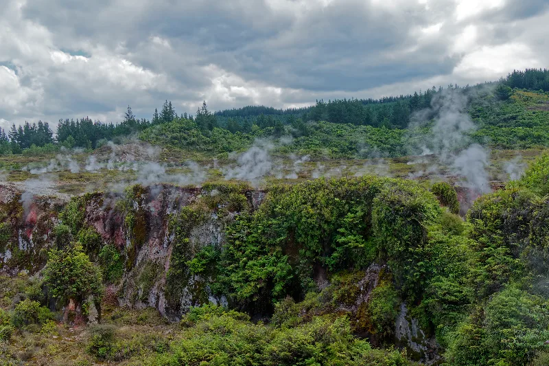
Craters of the Moon — steam rising from a crater edge fringed with bush.
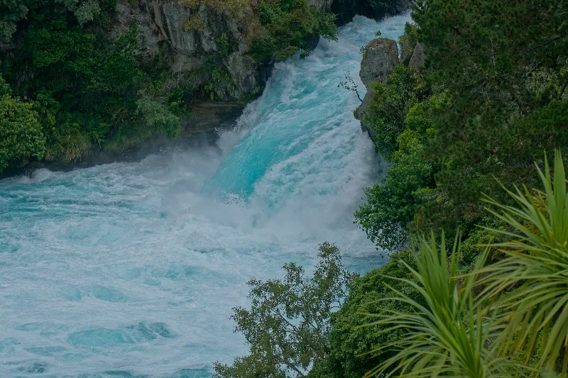
Huka Falls, where the Waikato River is forced through a narrow rock gorge.
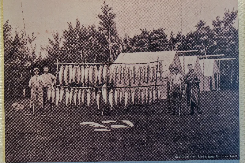
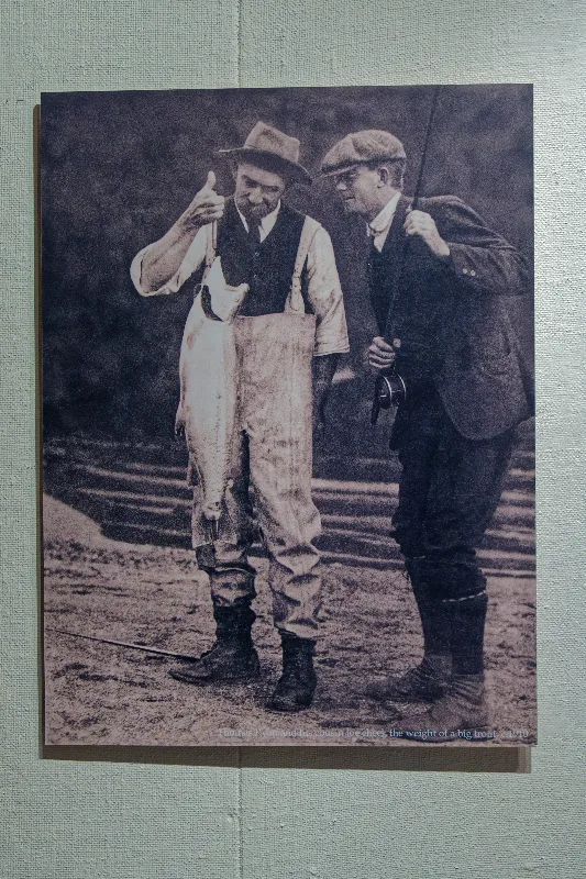
From Taupo's small museum: a haul of trout on display, with the caption noting that in 1912 you could keep as many fish as you liked.
Taupo to Waitomo via Whakamaru and Te Kūiti, through forest and farmland — a big 150km day, seven hours and twenty-one minutes in the saddle. Light rain on and off through the morning, then a proper downpour just as the campsite came into view around 4pm; it didn't ease off until 8pm, well into dinner, and the tent went up wet. Not the relaxing evening it might have been, but it worked out in the end. It was hard not to think of Jules Verne on this stretch, several of the places from his "In Search of the Castaways" lie along this same route — quite the adventure for its time, if Verne is to be taken at his word.