Biking and Hiking New Zealand - Mt Taranaki
Cut my right thumb badly the night before, crushing an empty tuna tin — cleaned it up and bandaged it as best I could. Up at 5:00 with the head torch on, following the track from North Egmont past the old Translator station toward the alpine hut, first light coming on at around 6:00.
Steps at first, then a long, steep stretch of loose scoria, then some scrambling higher up. Ice filling the crater near the top. Coming down I took the wrong line, slipped on the ice and fell about 20 metres down the slope — scraped up the right lower leg badly, a few more scrapes on my hand. Cleaned everything with water; had enough supplies with me to manage it. At the top by 8:15, back down at the Camp House by 11:00. Wonderful views of the mountain the whole way, at least.
Heavy traffic again on SH3 toward New Plymouth that afternoon. A good walk along the riverbank there, a striking bridge, and a stop at a pharmacy to get the leg properly looked at and stocked up on plasters and bandages.
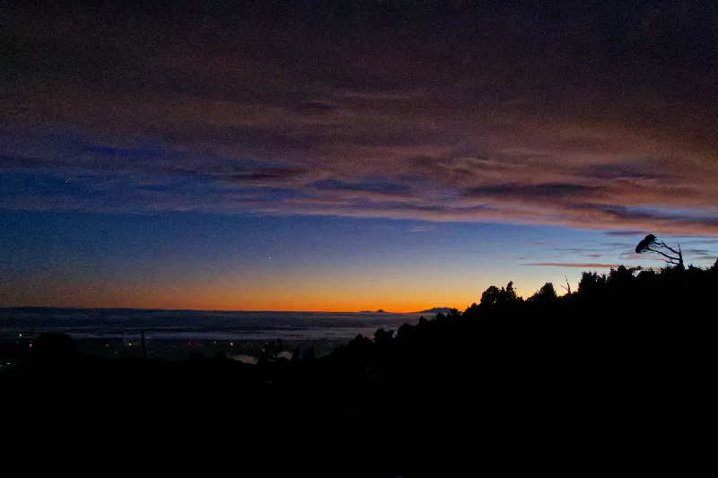
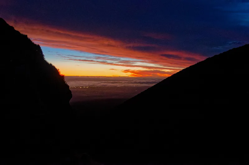
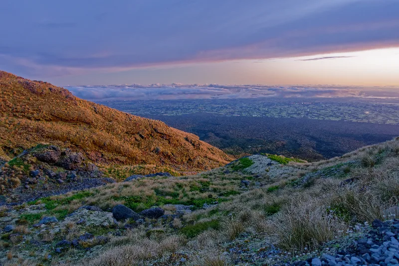
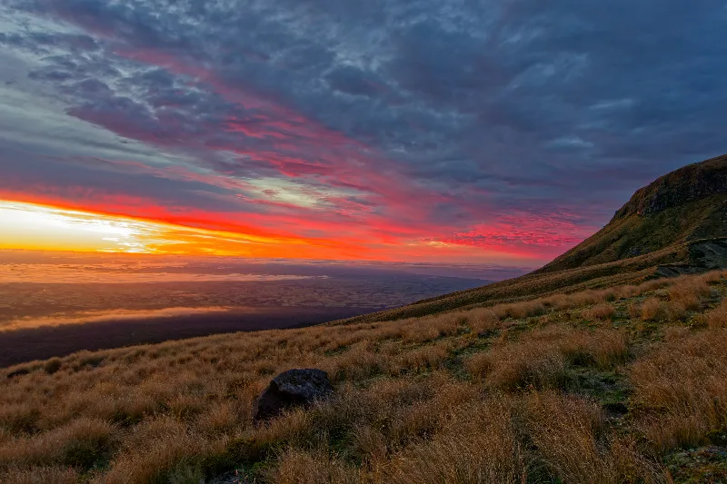
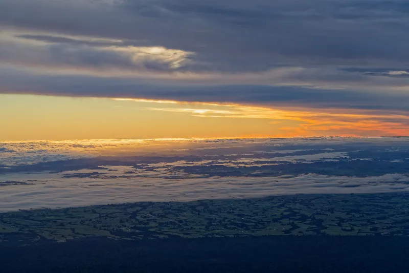
Pre-dawn sky over the coastal plain, before setting off with the head torch.
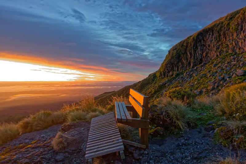
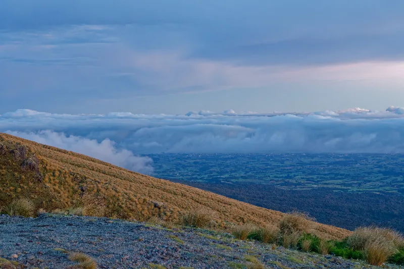
A trailside bench on the lower track, sunrise breaking over the plain below.
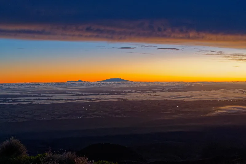
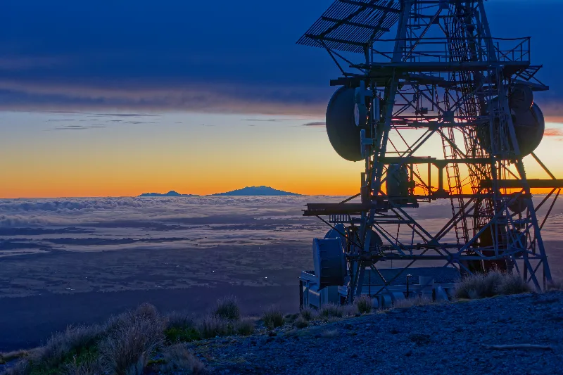
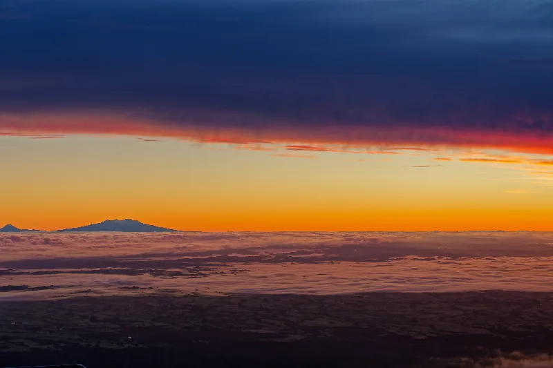
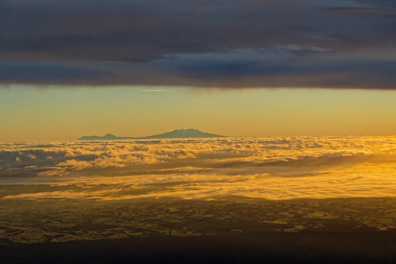
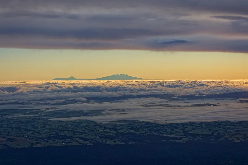
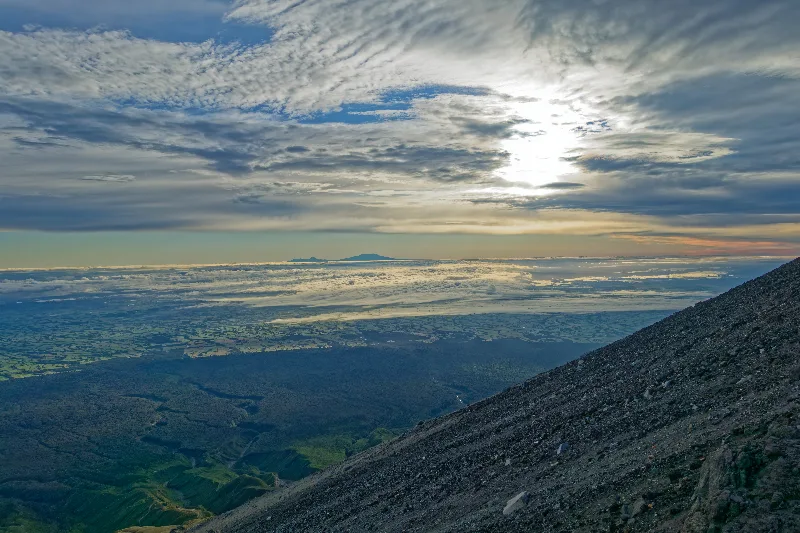
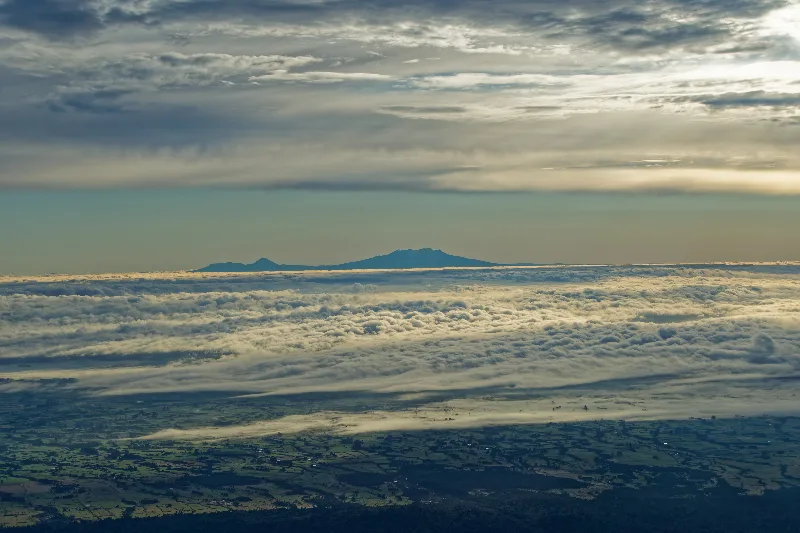
Volcanoes of the central plateau silhouetted above the clouds, far across the plain — Ruapehu, Ngāuruhoe and Tongariro, the very mountains from Taranaki's legend.
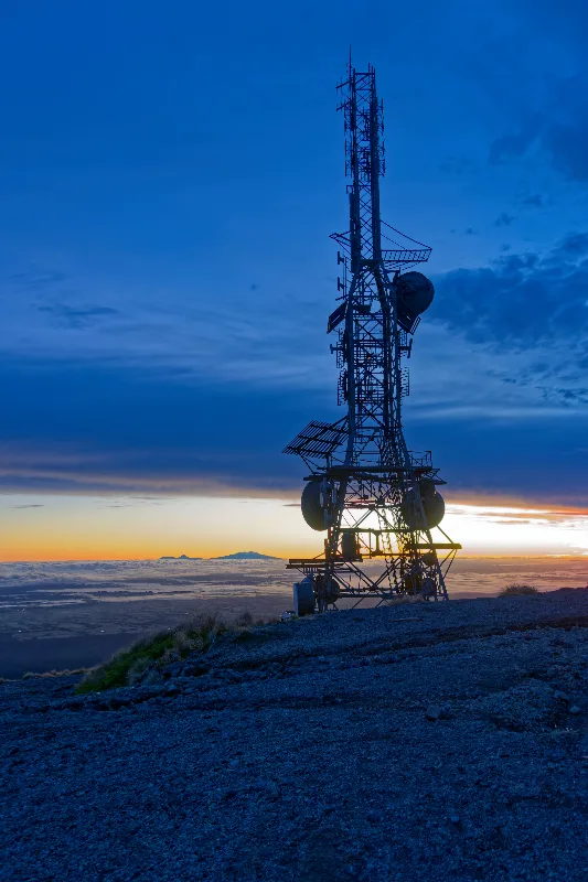
The old Translator repeater station, its tower silhouetted against the last of the dawn sky.
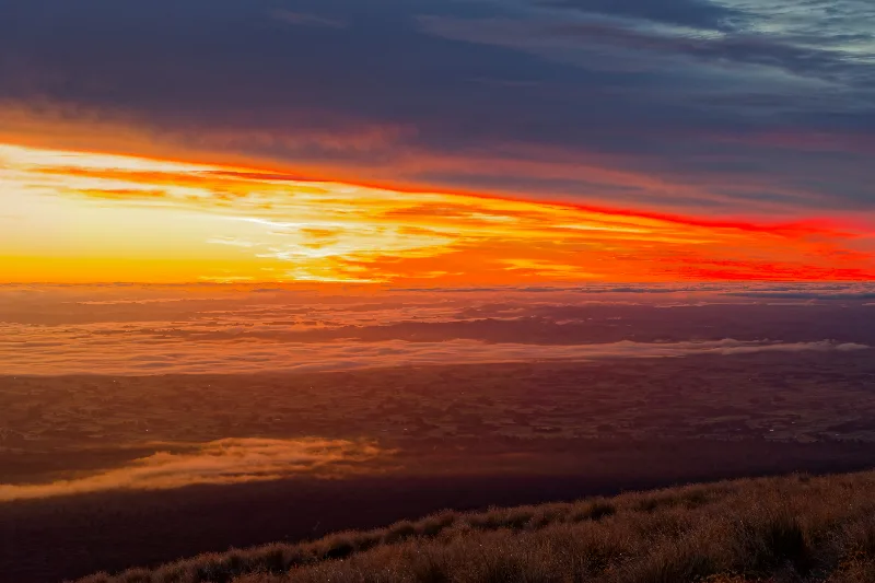
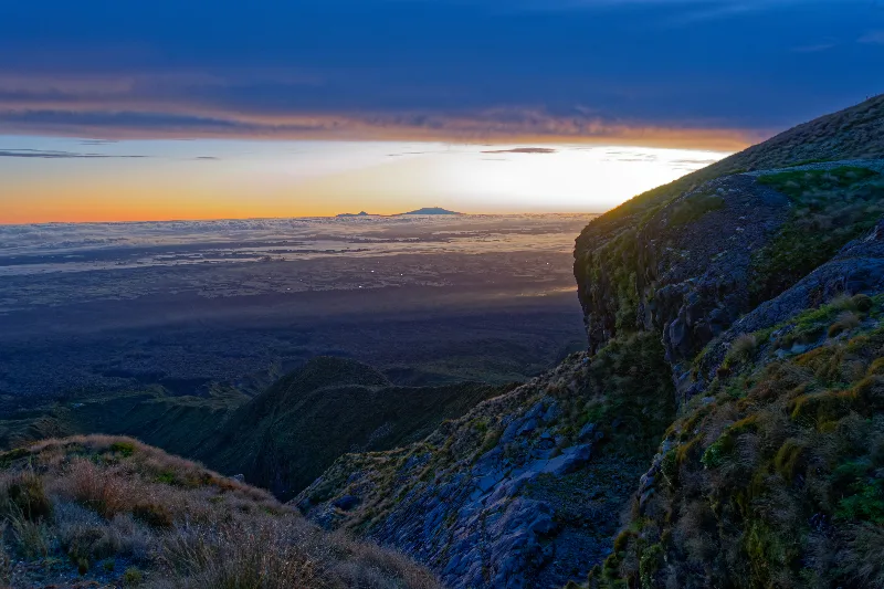
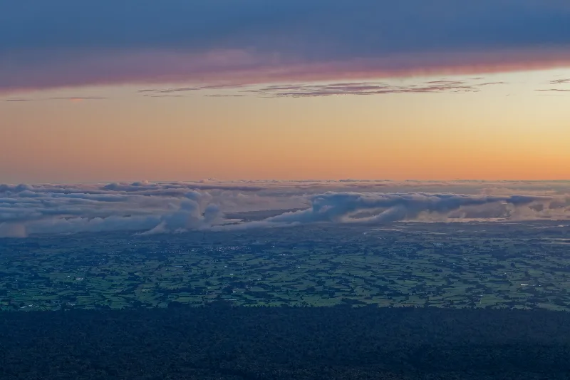
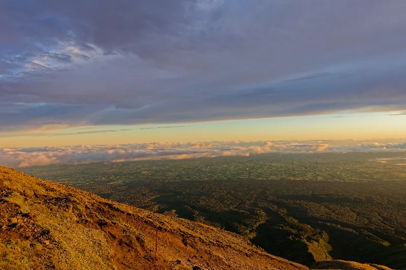
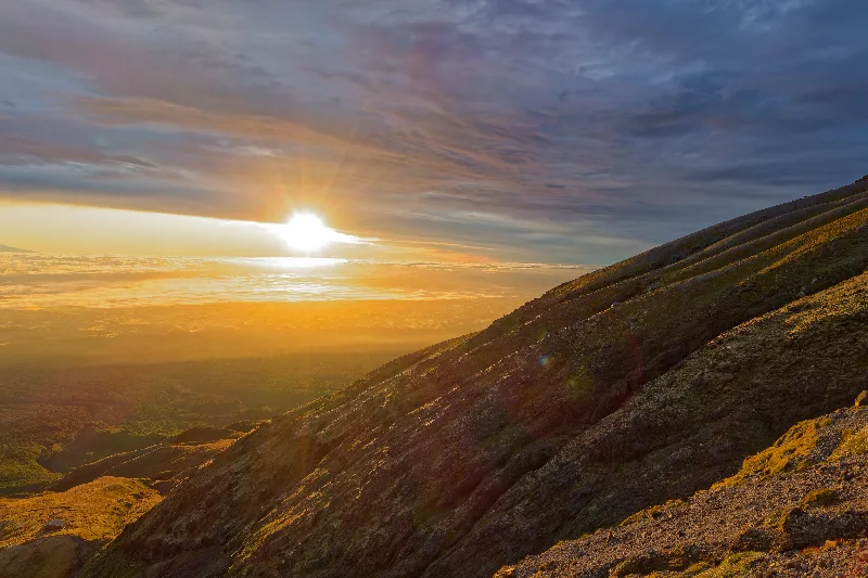
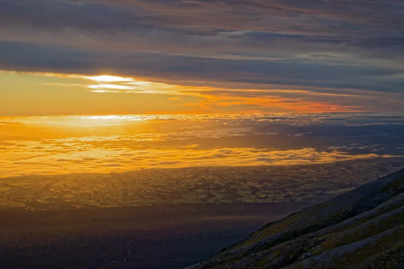
Full sunrise from partway up the track, the cloud layer glowing orange below.
The exposed scoria slope of the Puffer, a marker pole showing the route higher up.
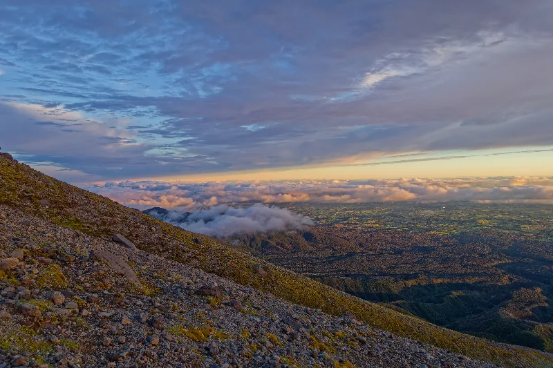
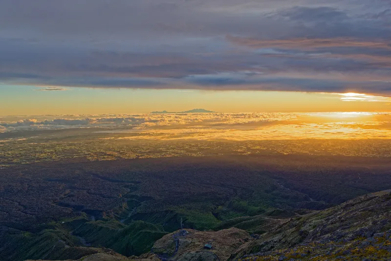
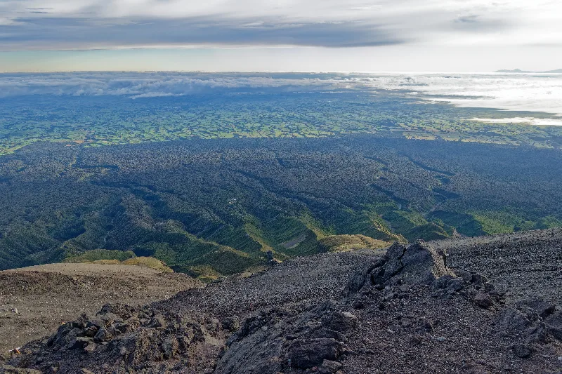
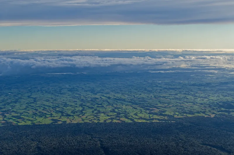
Looking straight down the mountain's radiating ridges to the near-circular edge of Egmont National Park, farmland starting exactly where the forest ends.
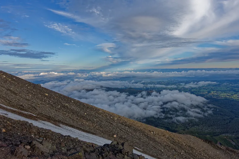
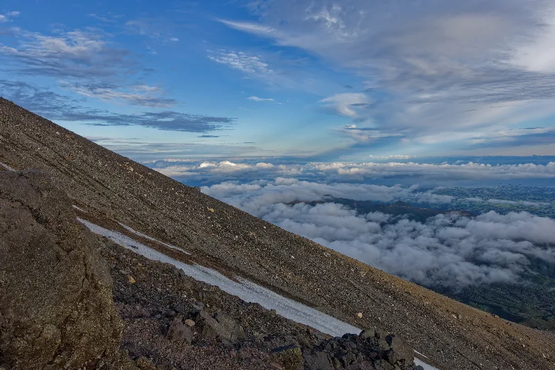
A steep scoria slope near the top, a last streak of snow marking where ice still lingers.
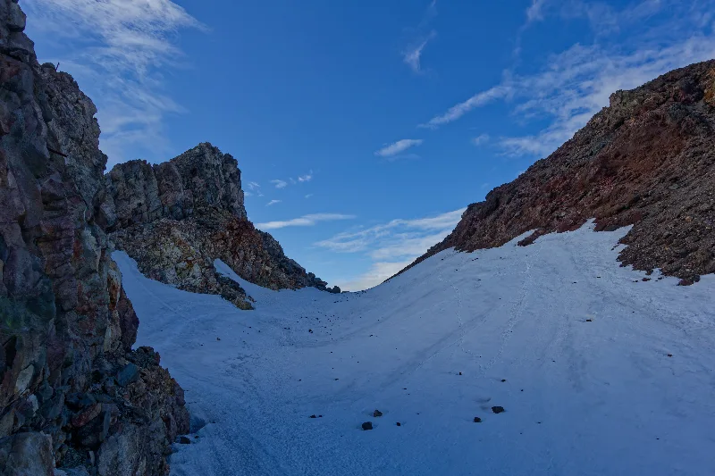
Snow and ice filling the summit crater, rock walls rising on either side — the ground where the fall happened on the way back down.
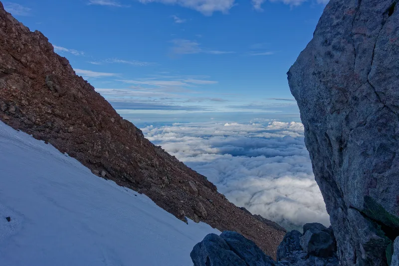
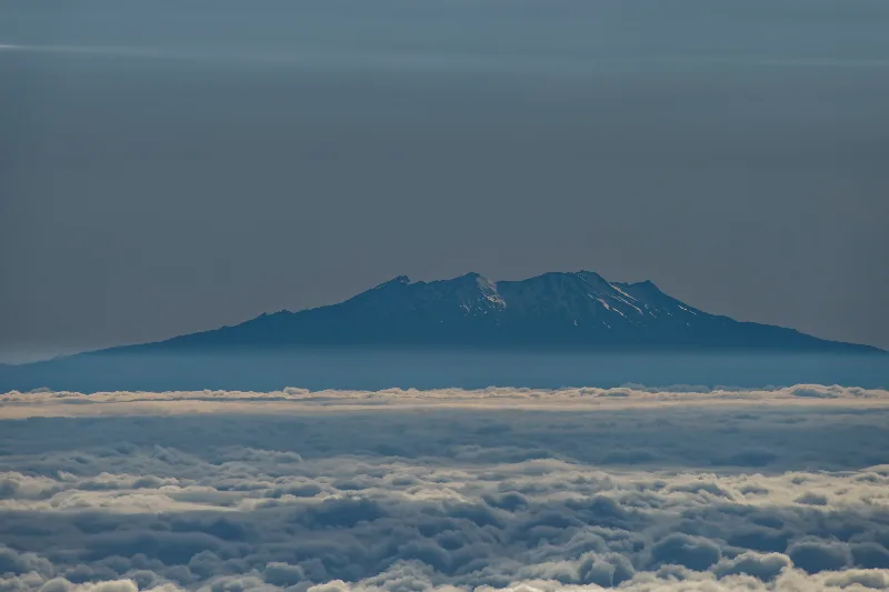
Mount Ruapehu's snow-streaked summit, clear above the cloud layer far across the plateau.
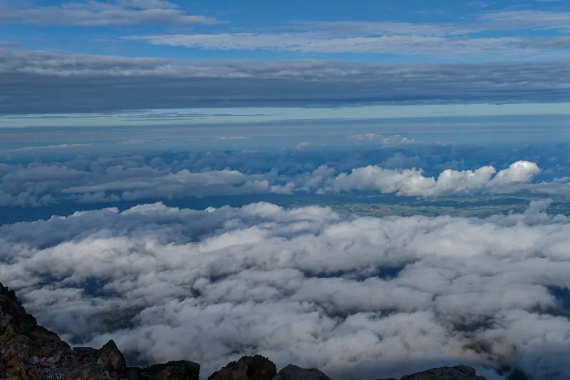
Climbing Mount Taranaki
The standard route up Mount Taranaki starts at the North Egmont visitor centre (930 m) and follows a formed track past the old Translator repeater station, then onto the Puffer, a long, exposed ridge of loose scoria that gains most of the mountain's height before the final rock scramble to the crater rim. On a clear day the summit gives one of the widest 360-degree views in the North Island; on a bad one, cloud can close in within minutes.
Despite its modest height and the well-marked lower track, Taranaki has one of the highest fatality rates of any mountain in New Zealand relative to how often it's climbed — mostly on the descent, where tired legs, loose scoria and patches of ice higher up combine to make a slip far easier than the walk up would suggest. It's a climb that rewards respect rather than complacency, even on what looks like a straightforward day.
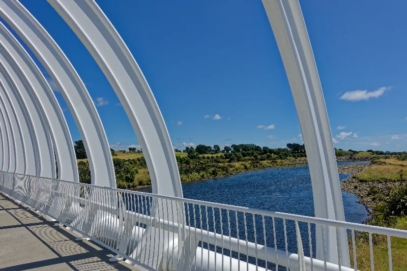
The arched Te Rewa Rewa Bridge over the Waiwhakaiho River in New Plymouth — the striking bridge from the afternoon walk.
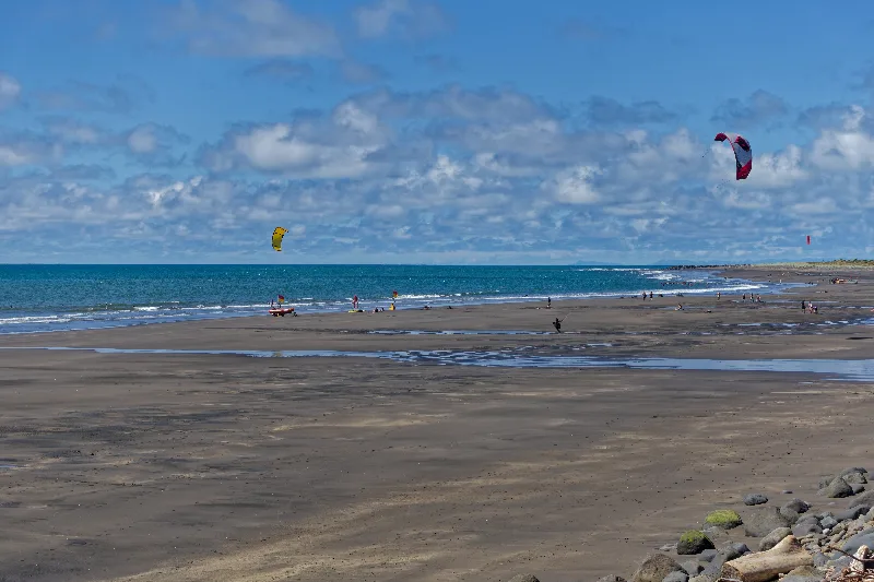
Kite surfers on New Plymouth's black-sand beach that afternoon.
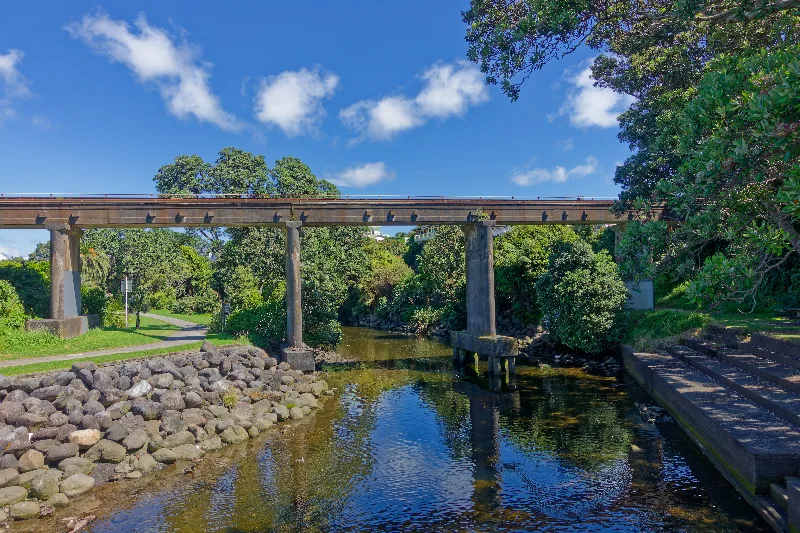
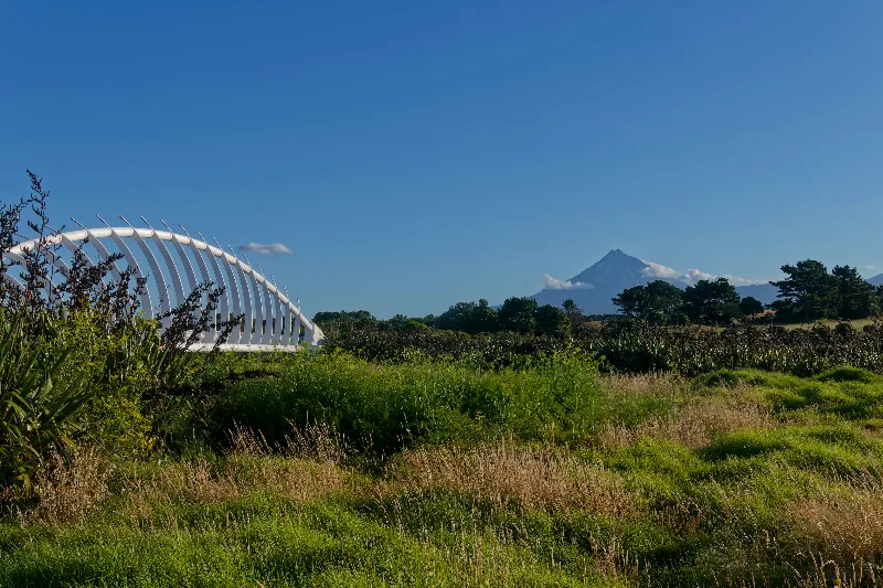
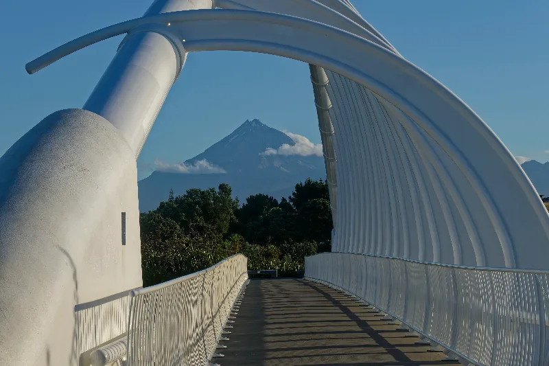
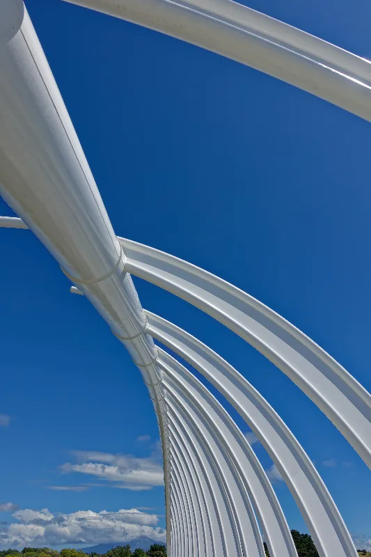
Mount Taranaki's summit framed through the bridge's arches, clear at last that evening — the same peak climbed that morning.
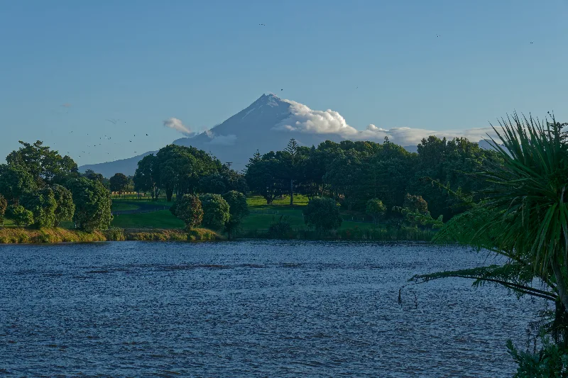
A last look at the mountain over the river at day's end, birds crossing in the evening light.